


MODIS Airborne Simulator (MAS)
FLIGHT SUMMARY INFORMATION


|
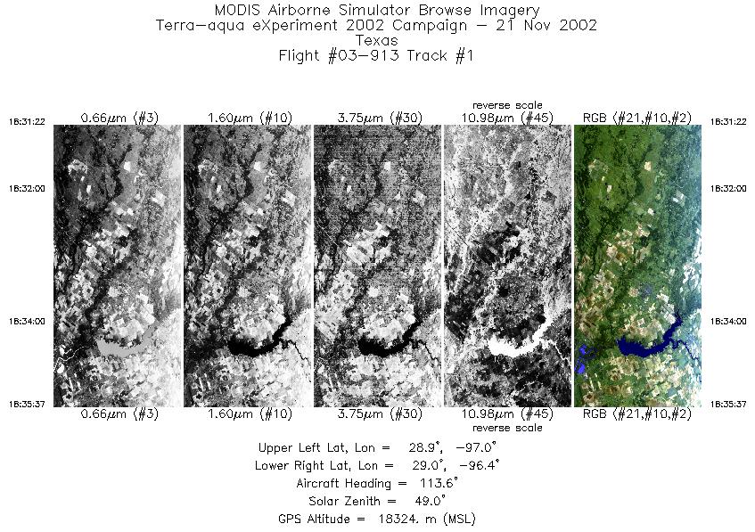
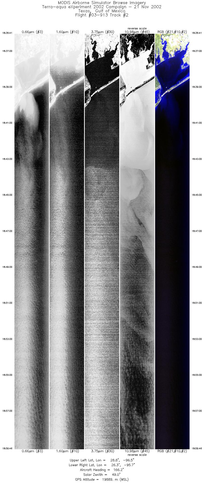
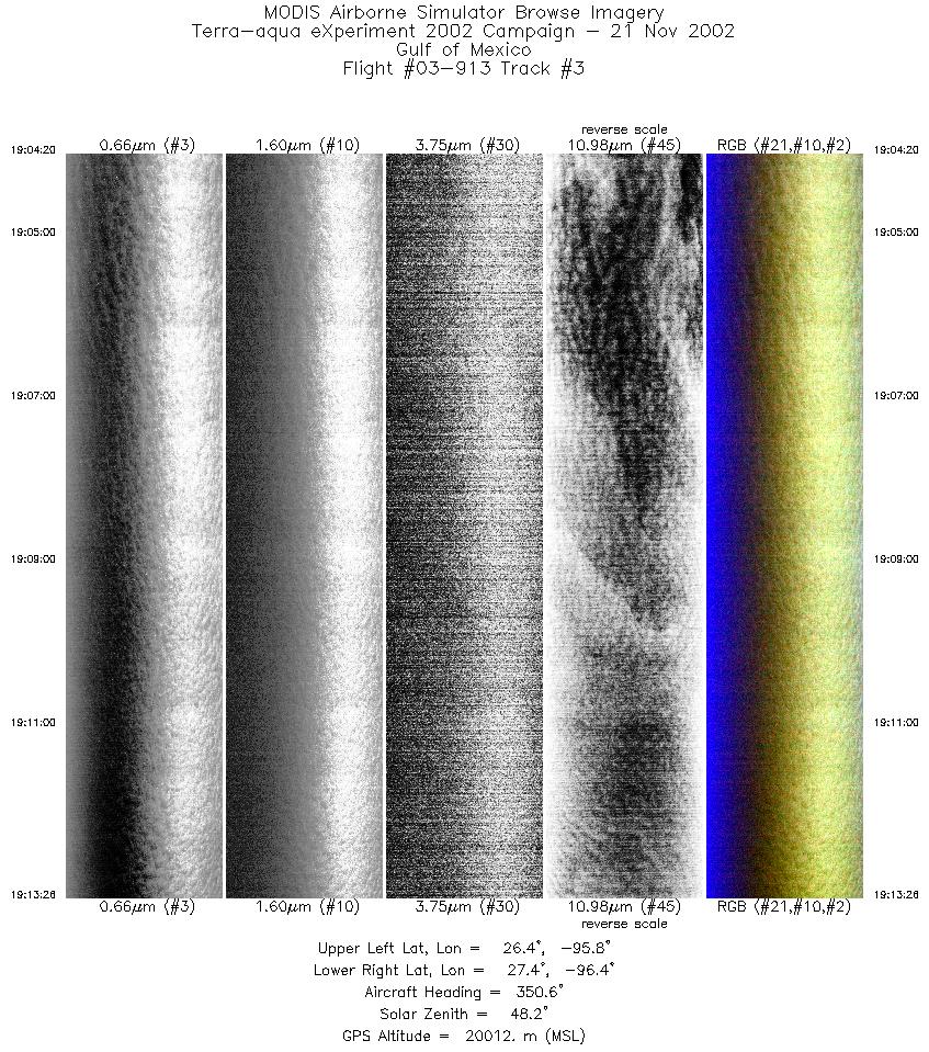
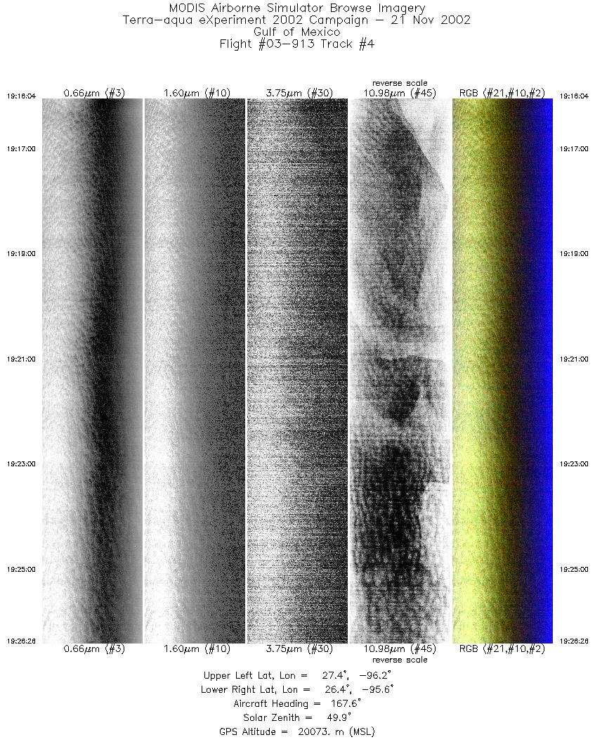
Flight: 03-913 Date: 21 November 2002 Location: Texas / Gulf of Mexico Deployment: TX-2002 Principal Investigators: Drs. Paul Menzel & Chris Moeller (UWISC) Additional Sensors: CPL, MVIS, NAST-I, RC-10 (dual), SHIS, VIS |
||||||||||||||||||||||||||||||||||||||||||||||||||||||||||||||||||||||
|
Data Evaluation Port 3 has some Line-to-Line Noise. Port 4 has some Coherent Noise AQUA Underflight @19:40 |
||||||||||||||||||||||||||||||||||||||||||||||||||||||||||||||||||||||
|
Processing Information Level-1B Data in HDF format is available Flight Line Summary Spectral Band Configuration Spectral Response Function Table |
||||||||||||||||||||||||||||||||||||||||||||||||||||||||||||||||||||||
|
Browse Imagery Flight Tracks: 6 Scanlines: 27353 |
||||||||||||||||||||||||||||||||||||||||||||||||||||||||||||||||||||||
|
||||||||||||||||||||||||||||||||||||||||||||||||||||||||||||||||||||||
|
Flight Summary Report Mission Objectives Checkout mission for S-HIS; Aqua underflight for L1B assessment; CPL depolarization calibration flight. Flight SummaryTake-off was at 1813 UTC. ER-2 landed at 2050 UTC. ER-2 launched about 15 minutes late for ATC. Pilot reported that CPL was fail on the apron so it was turned off for the entire mission as per plan. ER-2 flew from SAT to TX coast to fly south to began a racetrack with legs aligned with Aqua orbital track (347.5 true heading). Legs are about 10 minutes long. Started at SW corner flying northward on western leg (on Aqua orbital track), then flew southward leg (offset 12 NM to the east). Skies clear on both eastern legs. ER-2 then turned back to north for 2nd run of western leg, meeting Aqua at 1940 UTC at about midpoint of the line. Continued on this heading to TX coast crossing at oblique angle for S-HIS and NAST-I vector pointing studies. Good mission for L1B assessment and S-HIS/NAST-I comparisons. HighlightsClear sky scenes of deepwater GOM with Aqua directly overhead. Instrument Status
Gulf of Mexico appeared to contain white caps.  |
||||||||||||||||||||||||||||||||||||||||||||||||||||||||||||||||||||||

Flight 03-913


| Sample Imagery |
| Click image for full resolution |
|
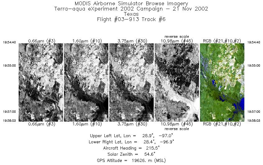
Track #02 Texas / Gulf of Mexico |


|
|
R: 11.00µm G: 1.64µm B: 0.55µm |
|
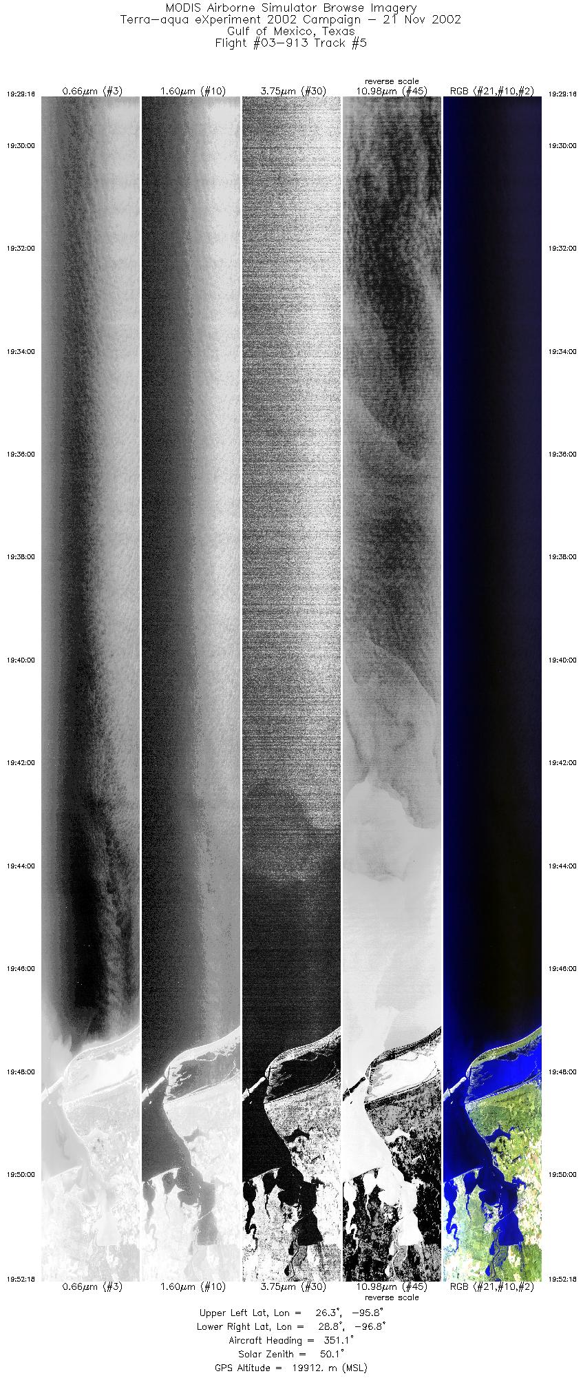
Track #05 Texas / Gulf of Mexico |

|
|
R: 2.15µm G: 1.64µm B: 0.55µm |
- NASA Official: Matt Fladeland
- Project Manager: James Jacobson
- Website Editor: Eric Fraim
- Last Updated: November 16, 2021


