


MODIS Airborne Simulator (MAS)
FLIGHT SUMMARY INFORMATION
Flight Track Map


|
Flight: 03-912 Date: 19 November 2002 Location: California to Texas Deployment: TX-2002 Principal Investigators: Drs. Paul Menzel & Chris Moeller (UWISC) Additional Sensors: CPL, MVIS, NAST-I, RC-10 (dual), VIS |
||||||||||||||||||||||||||||||||||||||||||||||||||||||||||||||||||||||
|
Data Evaluation MAS port #1 (bands 1-9, 0.44-0.97µm) was not operational; Cause of the problem was traced to a broken wire in a pin connector. |
||||||||||||||||||||||||||||||||||||||||||||||||||||||||||||||||||||||
|
Processing Information Level-1B Data in HDF format is available Flight Line Summary Spectral Band Configuration Spectral Response Function Table |
||||||||||||||||||||||||||||||||||||||||||||||||||||||||||||||||||||||
|
Browse Imagery Flight Tracks: 6 Scanlines: 37611 |
||||||||||||||||||||||||||||||||||||||||||||||||||||||||||||||||||||||
|
||||||||||||||||||||||||||||||||||||||||||||||||||||||||||||||||||||||
|
Flight Summary Report Mission Objectives Test MAS, NAST-I, CPL instruments and get ER-2 aircraft to San Antonio in readiness for TX-2002. Flight SummaryTake-off was at 1800 UTC. ER-2 landed at 2110 UTC. ER-2 flew from Dryden where skis were cloudy through AZ and NM into TX with mostly clear skies the whole way. HighlightsThe ER-2 made it to San Antonio on schedule. Clear skies along entire route Instrument Status
Aircraft is healthy. Some difficulty with ATC on descent.  |
||||||||||||||||||||||||||||||||||||||||||||||||||||||||||||||||||||||

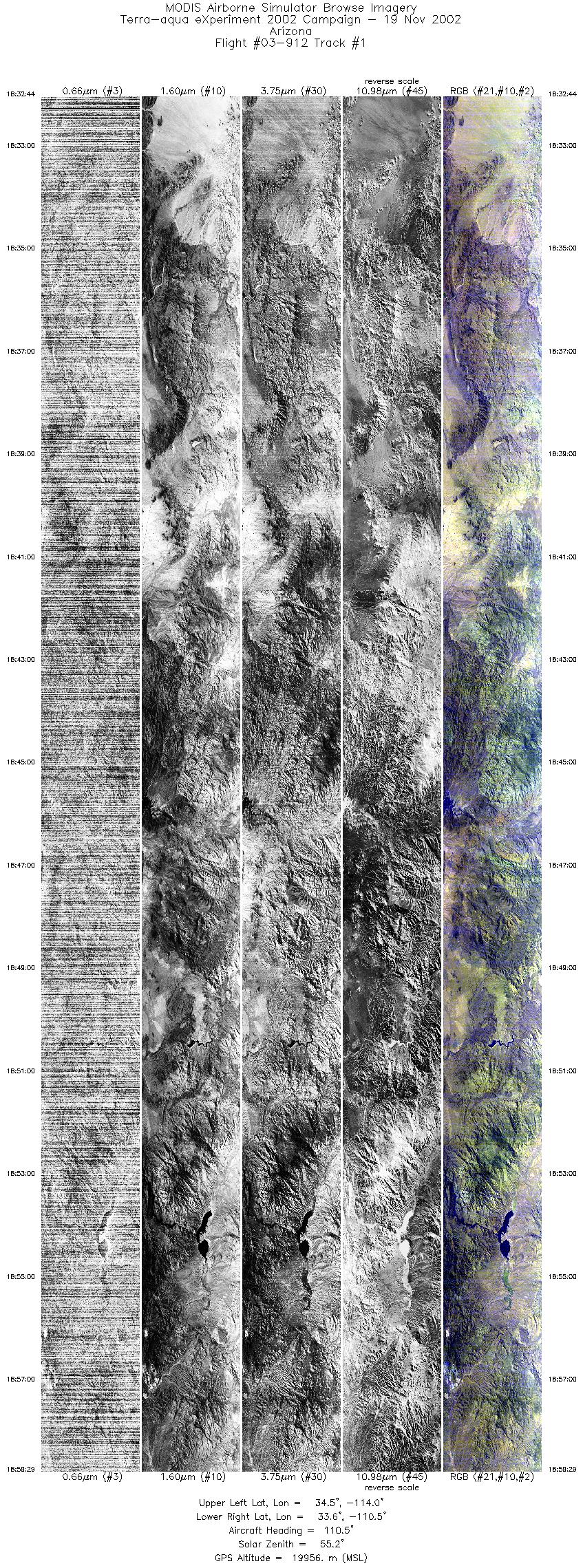
Flight 03-912


| Sample Imagery |
| Click image for full resolution |
|
Track #02 Arizona |


|
|
R: 11.00µm G: 2.13µm B: 1.62µm |
- NASA Official: Matt Fladeland
- Project Manager: James Jacobson
- Website Editor: Eric Fraim
- Last Updated: November 16, 2021


