


MODIS Airborne Simulator (MAS)
CAMPAIGN SUMMARY INFORMATION
|
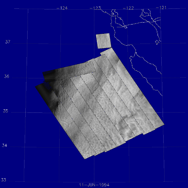
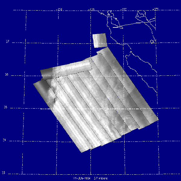
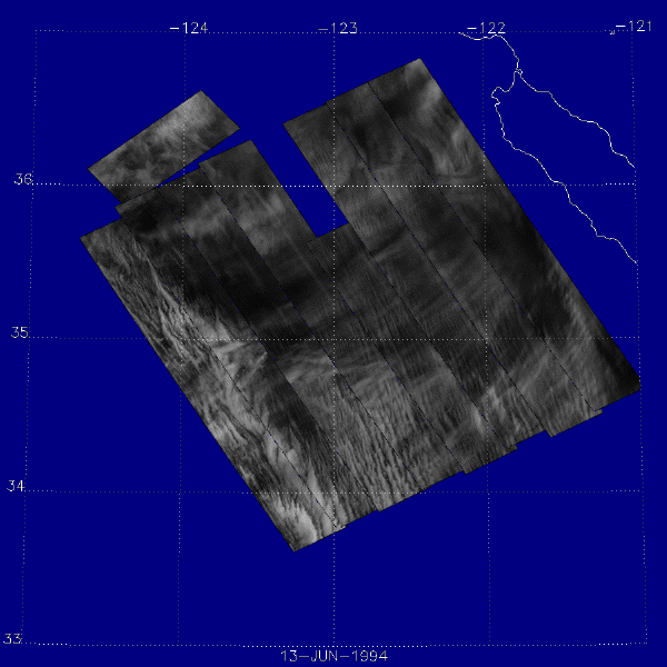
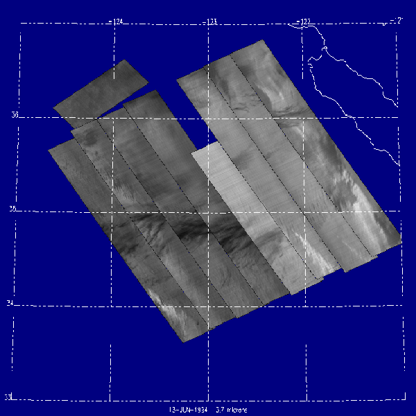
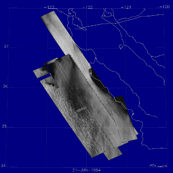
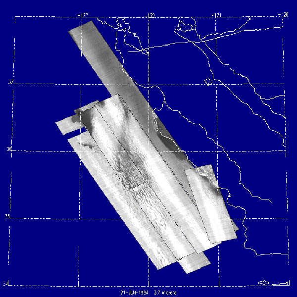
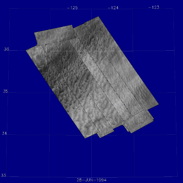
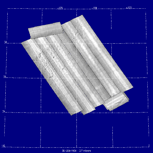
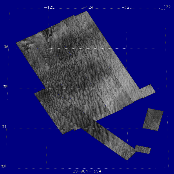
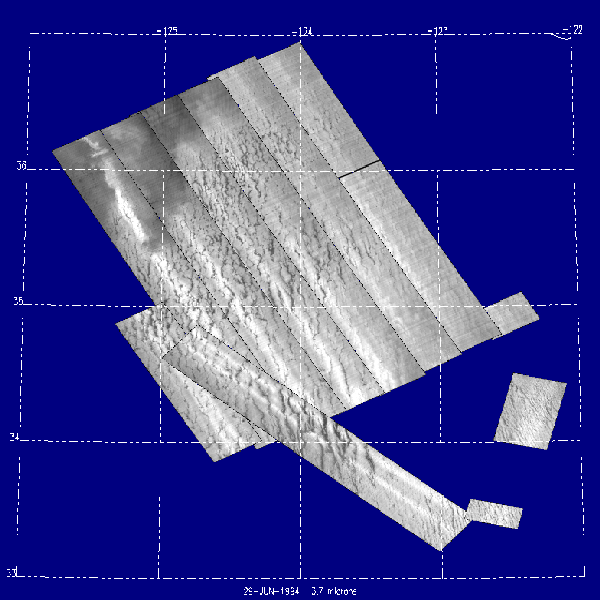
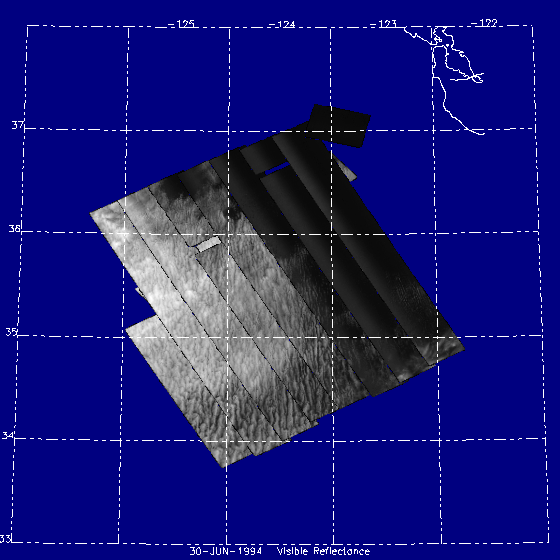
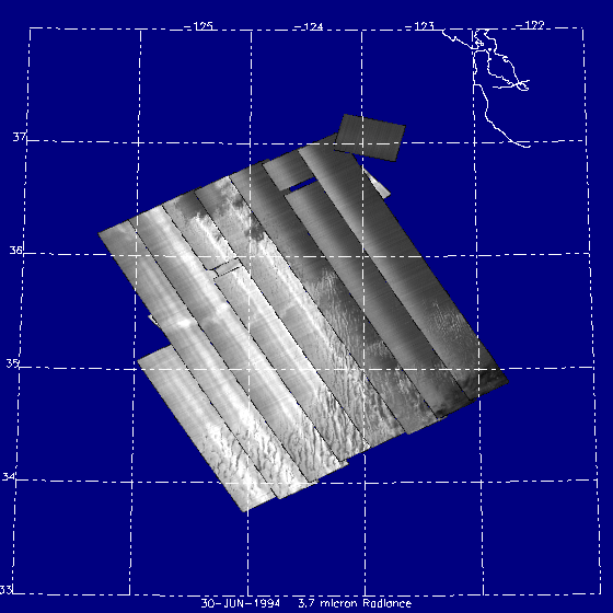
Monterey Area Ship Tracks Dates: 11 June - 30 June 1994 Location: Central California Coast Principal Investigators: Objective: Determine if upwelling and emmisions from ships and submarines affect cloud formation and if they can then be detected remotely by looking for ocean surface temperature and cloud anomalies. |
|
Processing Information Flights Processed: 7 of 7 Total Flight Tracks: Total Scanlines: Level-1B Version: #03 Calibration Type: Final Calibration Version: MAST 1.0 Temperature Adjustment: 35C Status: Level-1B Data in HDF format is available. |
|
Spectral Information Spectral Band Configuration |
|
Level-1B Data Distribution Level 1 / Atmosphere Archive and Distribution System (LAADS) NASA Distributive Active Archive Centers (DAACs) |
|
|
Related Web Sites NASA Airborne Science Program |

MAST


- NASA Official: Matt Fladeland
- Project Manager: James Jacobson
- Website Editor: Eric Fraim
- Last Updated: March 21, 2024


