FLIGHT SUMMARY INFORMATION
|
Flight: 25-979-00 Date: 16 Sep 2025 Aircraft: NASA ER-2 #809 Campaign: GEMx 2025 Flight Location: Southeastern Nevada / Southwestern Utah (NV04) Principal Investigators: Kokaly (USGS) Additional Sensors: AVIRIS-C / AVIRIS-5 |
|||||||||||||||||||||||||||||||||||||||||||||||||||||||||||||||||||||||||||||||||||||||||||
|
Data Evaluation Overall quality is good BB1 set to ambient |
|||||||||||||||||||||||||||||||||||||||||||||||||||||||||||||||||||||||||||||||||||||||||||
|
Processing Information Level-1B Data in HDF format is available Flight Line Summary Spectral Band Configuration Spectral Response Function Table Spectral Response Function (text) |
|||||||||||||||||||||||||||||||||||||||||||||||||||||||||||||||||||||||||||||||||||||||||||
|
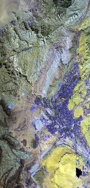
Browse Imagery Flight Tracks: 9 Scanlines: 70136 |
|||||||||||||||||||||||||||||||||||||||||||||||||||||||||||||||||||||||||||||||||||||||||||
|
|||||||||||||||||||||||||||||||||||||||||||||||||||||||||||||||||||||||||||||||||||||||||||


