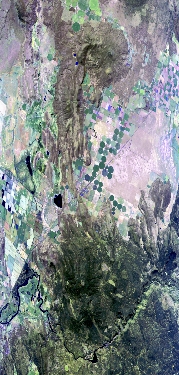
Flight: 23-917-00
Date: 20 Sep 2023
Aircraft: ER-2 #809
Deployment: GEMx Late Summer / Early Fall 2023
Flight Location: Northern California (CA13)
Principal Investigators: Kokaly (USGS)
Additional Sensors: AVIRIS
|
Data Evaluation
Overall quality is good
|
Processing Information
Level-1B Data in HDF format is available
Flight Line Summary
Spectral Band Configuration
Spectral Response Function Table
Spectral Response Function (text)
|
Browse Imagery
Flight Tracks: 12
Scanlines: 73396
|
Browse Imagery Table
|
Click a Flight Track number to view a quicklook image
Lat/Lon ranges are for the BEG-END scanline nadir pixels
|
Flight
Track |
Time Span
(UTC) |
Heading
(Deg) |
Lat Range
(Deg N) |
Lon Range
(Deg W) |
Length
(Scanlines) |
Altitude
(Meters) |
| 1 |
17:30 - 17:34 |
357.3 |
38.848 - 39.268 |
120.032 - 120.030 |
1421 |
20204 |
| 2 |
17:43 - 18:04 |
338.2 |
40.049 - 42.163 |
120.943 - 122.036 |
7689 |
20153 |
| 3 |
18:20 - 18:39 |
159.7 |
42.367 - 40.308 |
122.149 - 121.072 |
7236 |
20066 |
| 4 |
18:46 - 19:07 |
358.6 |
40.304 - 42.656 |
121.923 - 121.921 |
7762 |
20115 |
| 5 |
19:11 - 19:33 |
179.7 |
42.827 - 40.347 |
121.817 - 121.820 |
8098 |
20140 |
| 6 |
19:37 - 19:59 |
357.8 |
40.170 - 42.655 |
121.716 - 121.715 |
8245 |
20027 |
| 7 |
20:04 - 20:24 |
180.0 |
42.698 - 40.346 |
121.612 - 121.615 |
7662 |
20086 |
| 8 |
20:28 - 20:43 |
356.0 |
40.324 - 42.053 |
121.412 - 121.412 |
5781 |
20090 |
| 9 |
20:47 - 21:04 |
180.8 |
42.216 - 40.347 |
121.516 - 121.515 |
6086 |
20078 |
| 10 |
21:07 - 21:22 |
358.5 |
40.264 - 42.053 |
121.310 - 121.312 |
5944 |
20118 |
| 11 |
21:27 - 21:43 |
181.3 |
42.144 - 40.344 |
121.214 - 121.214 |
5899 |
20111 |
| 12 |
21:55 - 21:59 |
177.9 |
39.371 - 38.902 |
120.030 - 120.032 |
1573 |
20115 |
|


