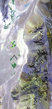
Flight: 23-915-00
Date: 18 Sep 2023
Aircraft: ER-2 #809
Deployment: GEMx Late Summer / Early Fall 2023
Flight Location: Southwestern Nevada (NV01)
Principal Investigators: Kokaly (USGS)
Additional Sensors: AVIRIS
|
Data Evaluation
Overall quality is good
|
Processing Information
Level-1B Data in HDF format is available
Flight Line Summary
Spectral Band Configuration
Spectral Response Function Table
Spectral Response Function (text)
|
Browse Imagery
Flight Tracks: 13
Scanlines: 57542
|
Browse Imagery Table
|
Click a Flight Track number to view a quicklook image
Lat/Lon ranges are for the BEG-END scanline nadir pixels
|
Flight
Track |
Time Span
(UTC) |
Heading
(Deg) |
Lat Range
(Deg N) |
Lon Range
(Deg W) |
Length
(Scanlines) |
Altitude
(Meters) |
| 1 |
18:05 - 18:23 |
316.7 |
36.059 - 37.395 |
116.020 - 117.800 |
6578 |
20220 |
| 2 |
18:26 - 18:45 |
130.4 |
37.557 - 36.140 |
117.862 - 115.953 |
6898 |
20144 |
| 3 |
18:49 - 19:12 |
311.2 |
36.103 - 37.786 |
115.741 - 118.088 |
8424 |
20206 |
| 4 |
19:17 - 19:32 |
132.3 |
38.058 - 36.861 |
118.300 - 116.640 |
5803 |
20187 |
| 5 |
19:38 - 19:52 |
312.6 |
37.142 - 38.185 |
116.895 - 118.301 |
5219 |
20188 |
| 6 |
20:03 - 20:10 |
181.9 |
37.781 - 36.988 |
117.175 - 117.178 |
2579 |
20154 |
| 7 |
20:16 - 20:28 |
314.9 |
37.370 - 38.306 |
117.112 - 118.336 |
4558 |
20128 |
| 8 |
20:33 - 20:47 |
134.9 |
38.577 - 37.502 |
118.550 - 117.143 |
5104 |
20132 |
| 9 |
20:58 - 21:06 |
128.7 |
36.554 - 36.002 |
116.216 - 115.444 |
2835 |
20314 |
| 10 |
21:10 - 21:18 |
310.6 |
35.940 - 36.518 |
115.232 - 116.015 |
2812 |
20313 |
| 11 |
21:24 - 21:31 |
133.6 |
36.537 - 36.040 |
115.907 - 115.242 |
2517 |
20273 |
| 12 |
21:35 - 21:41 |
315.6 |
36.014 - 36.480 |
115.106 - 115.697 |
2202 |
20284 |
| 13 |
21:48 - 21:54 |
136.4 |
36.477 - 36.059 |
115.565 - 115.057 |
2013 |
20388 |
|


