Flight: 17-609-00
Date: January 10, 2017
Aircraft: NASA ER-2, #806
Flight Number: 17-609-00
Deployment: HyspIRI Hawaii
Flight Location: Sierra Nevada / Salton Sea / San Diego, CA
Principal Investigator: Eng (JPL)
Additional Sensors: AVIRIS / HyTES
|
Data Evaluation
Overall data quality is excellent.
All data collected @6.25Hz
|
Processing Information
Level-1B Data in HDF format is available
Flight Line Summary
Spectral Band Configuration
Spectral Response Function Table
Spectral Response Function (text)
|
Browse Imagery
Flight Tracks: 13
Scanlines: 38026
|
Browse Imagery Table
|
Click a Flight Track number to view a quicklook image
Lat/Lon ranges are for the BEG-END scanline nadir pixels
|
Flight
Track |
Time Span
(UTC) |
Heading
(Deg) |
Lat Range
(Deg N) |
Lon Range
(Deg W) |
Length
(Scanlines) |
Altitude
(Meters) |
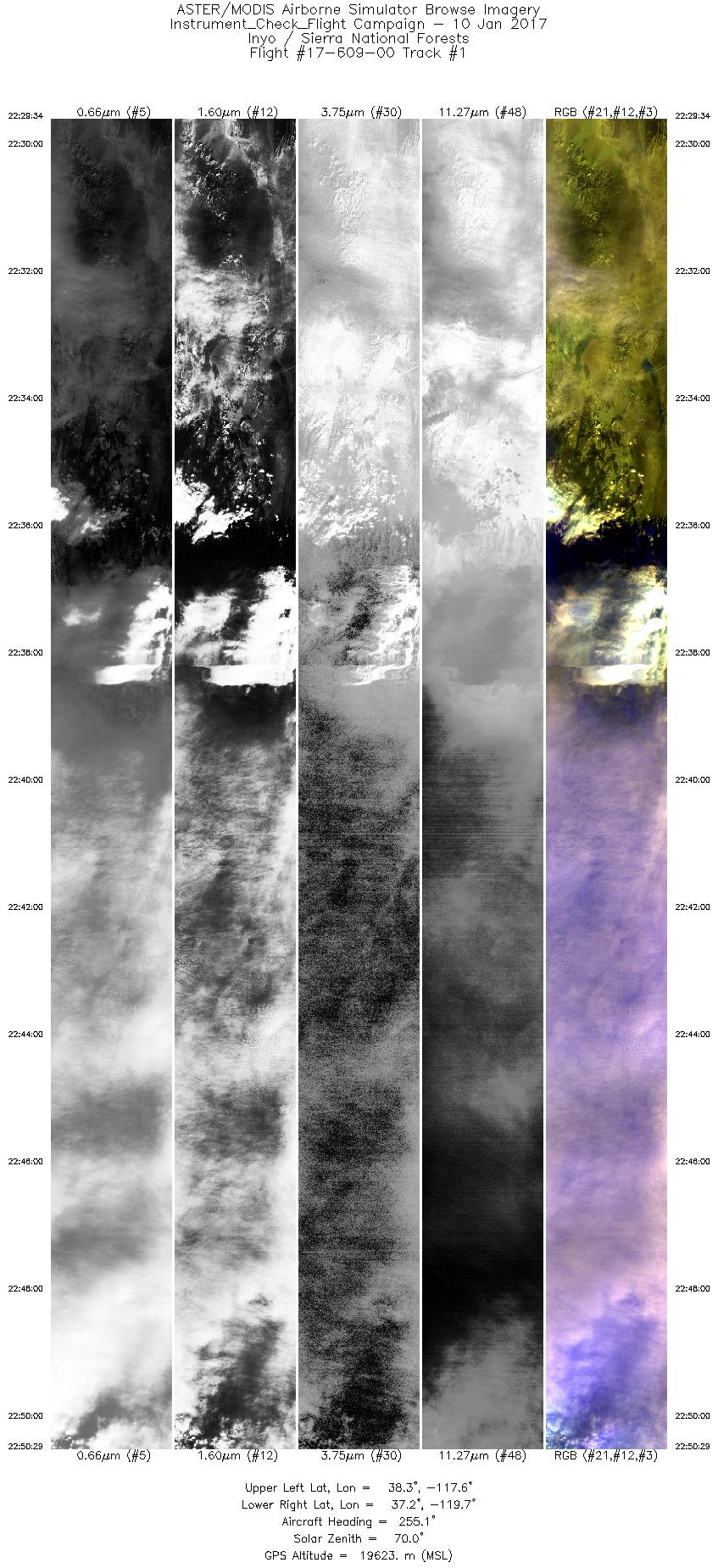
| 1 |
22:29 - 22:50 |
252.3 |
38.145 - 37.318 |
117.537 - 119.801 |
7846 |
19631 |
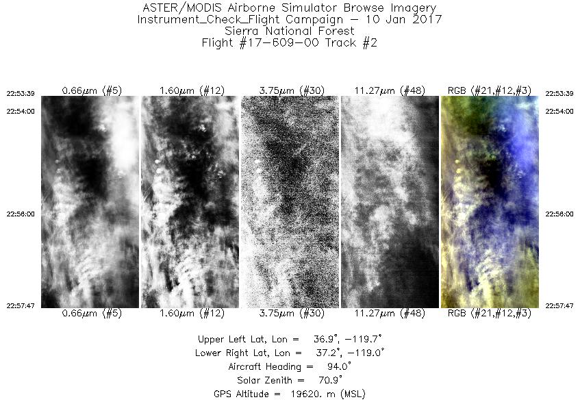
| 2 |
22:53 - 22:57 |
91.9 |
37.073 - 37.087 |
119.652 - 119.016 |
1553 |
19637 |
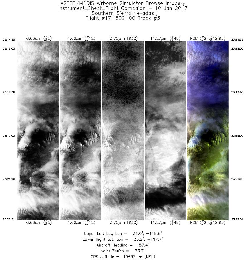
| 3 |
23:14 - 23:22 |
158.7 |
36.022 - 35.186 |
118.405 - 117.855 |
3099 |
19629 |
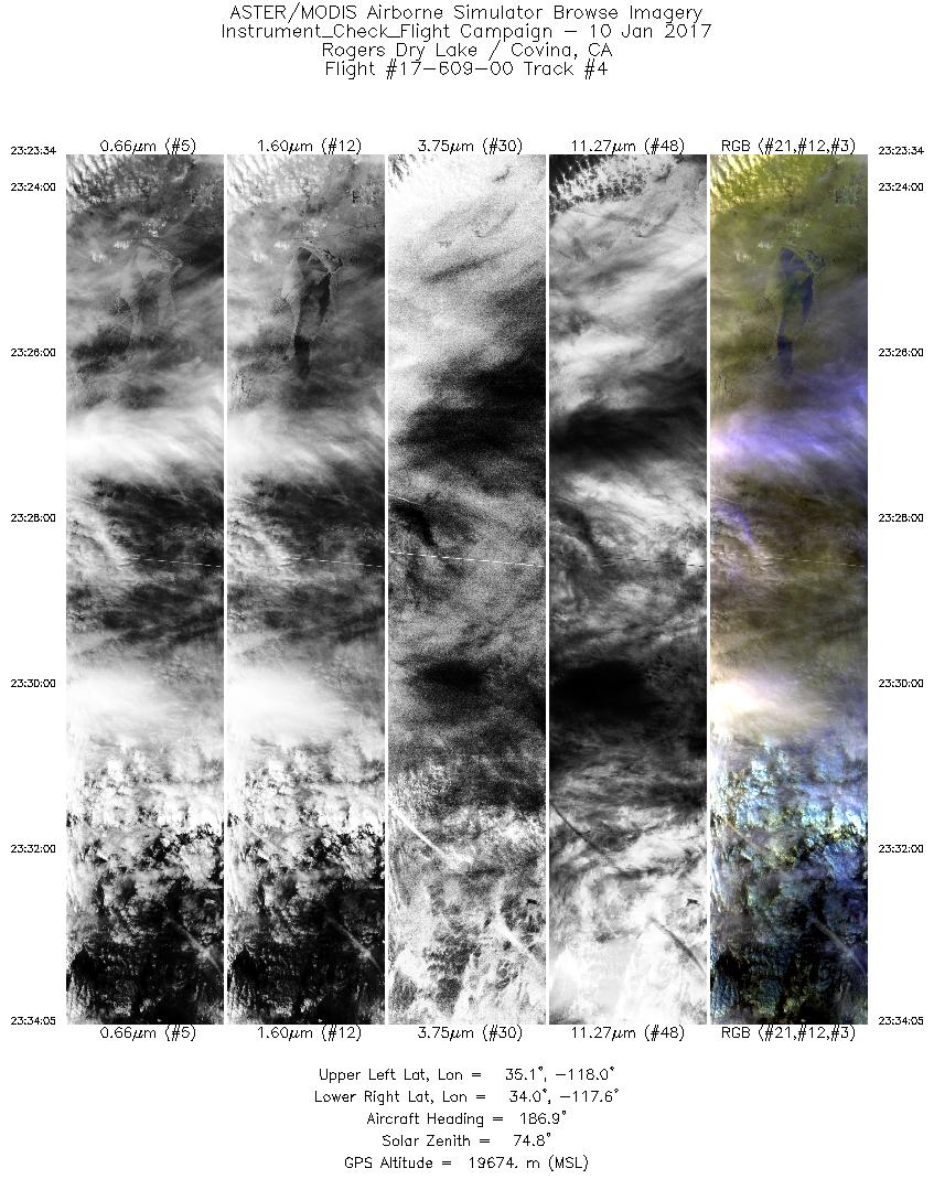
| 4 |
23:23 - 23:34 |
187.6 |
35.112 - 34.002 |
117.835 - 117.834 |
3945 |
19670 |
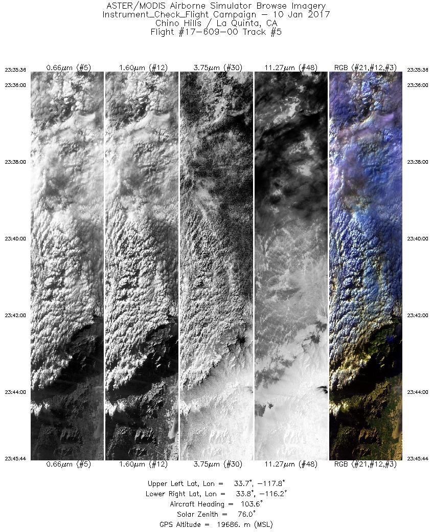
| 5 |
23:35 - 23:45 |
103.4 |
33.888 - 33.648 |
117.703 - 116.253 |
3800 |
19716 |
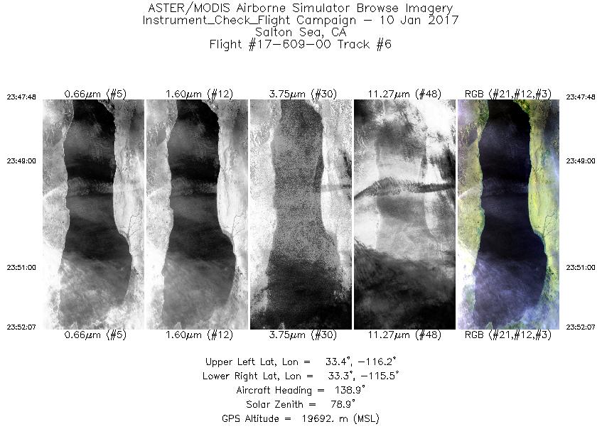
| 6 |
23:47 - 23:52 |
141.0 |
33.512 - 33.152 |
116.024 - 115.633 |
1624 |
19693 |
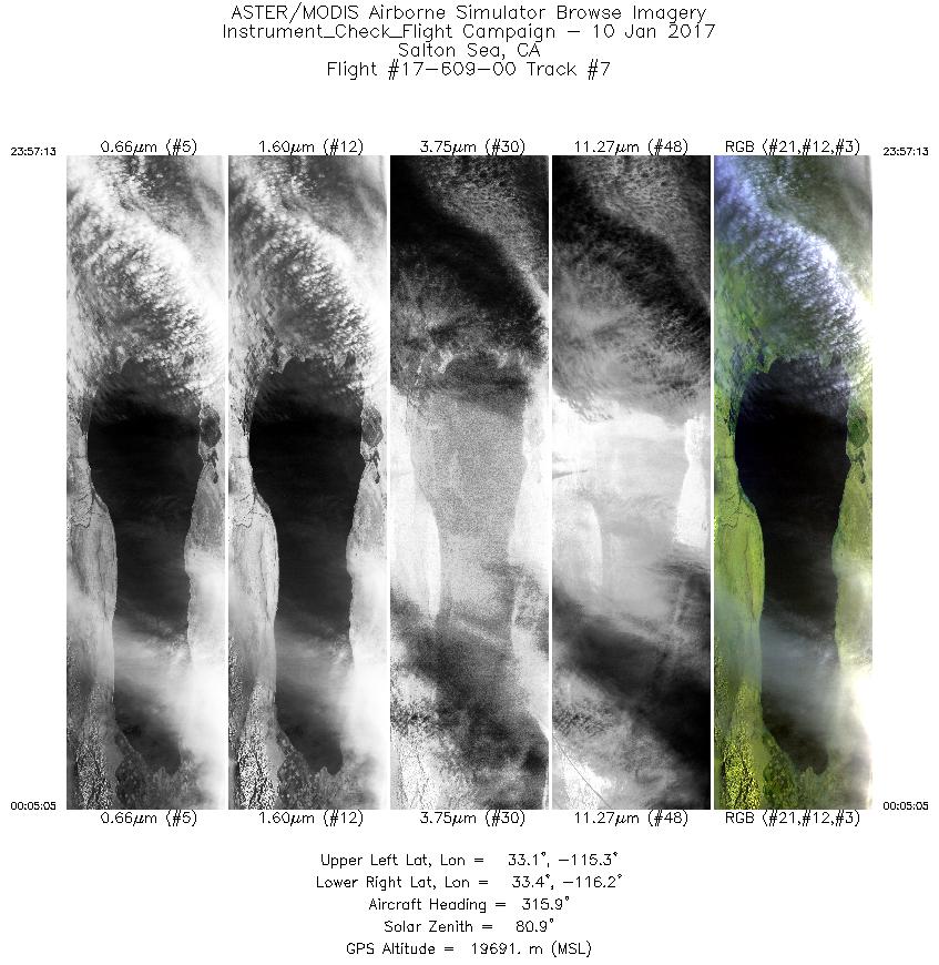
| 7 |
23:57 - 00:05 |
314.1 |
32.983 - 33.562 |
115.460 - 116.072 |
2953 |
19708 |
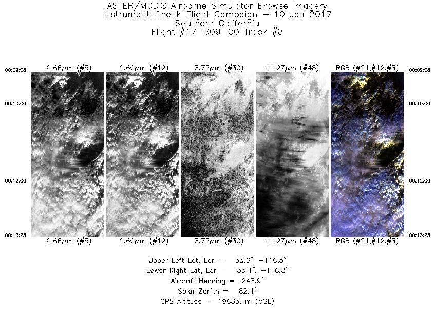
| 8 |
00:09 - 00:13 |
244.1 |
33.424 - 33.226 |
116.466 - 116.886 |
1607 |
19687 |
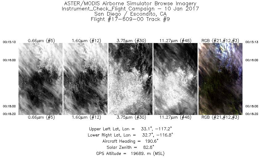
| 9 |
00:15 - 00:18 |
189.4 |
33.063 - 32.733 |
116.965 - 116.965 |
1171 |
19693 |
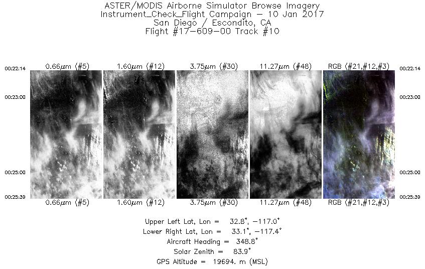
| 10 |
00:22 - 00:25 |
350.6 |
32.755 - 33.121 |
117.230 - 117.231 |
1281 |
19690 |
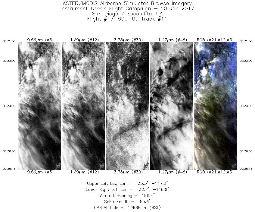
| 11 |
00:31 - 00:36 |
187.5 |
33.289 - 32.687 |
117.097 - 117.100 |
2116 |
19682 |
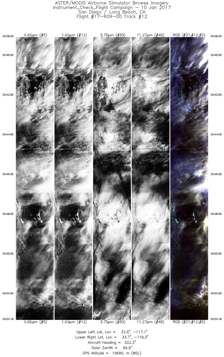
| 12 |
00:39 - 00:53 |
321.2 |
32.672 - 33.854 |
117.267 - 118.147 |
5340 |
19680 |
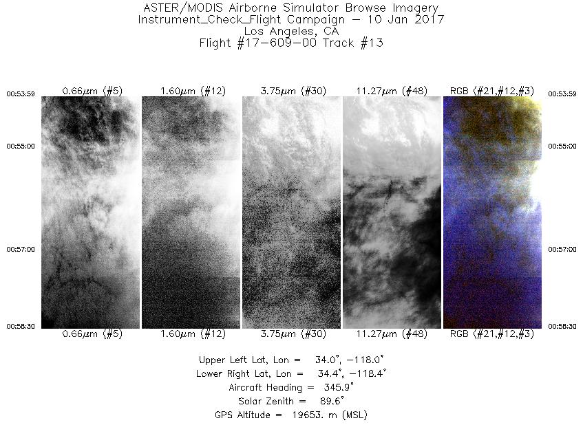
| 13 |
00:53 - 00:58 |
347.2 |
33.920 - 34.382 |
118.169 - 118.181 |
1691 |
19689 |
|


