Flight: 06-010-14
Date: August 28, 2006
Aircraft: DOE B200, #798
Deployment: RSL August 2006
Flight Location: Geological Fault Sites (night)
Principal Investigator: Hook (JPL), Peltzer (JPL)
Additional Sensors: none
|
Data Evaluation
Weather: Clear skies
Haze: none to light
Turbulence: Light to moderate
Data quality is good; Port 3 looks great (selected bands)
|
Processing Information
Level-1B Data in HDF format is available
Flight Line Summary
Spectral Band Configuration
Spectral Response Function Table
Spectral Response Function (text)
|
Browse Imagery
Flight Tracks: 14
Scanlines: 56509
|
Browse Imagery Table
|
Click a Flight Track number to view a quicklook image
Lat/Lon ranges are for the BEG-END scanline nadir pixels
|
Flight
Track |
Time Span
(UTC) |
Heading
(Deg) |
Lat Range
(Deg N) |
Lon Range
(Deg W) |
Length
(Scanlines) |
Altitude
(Meters) |
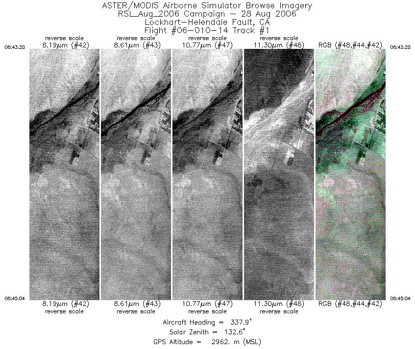
| 1 |
06:43 - 06:45 |
338.3 |
34.741 - 34.823 |
117.306 - 117.347 |
2572 |
2961 |
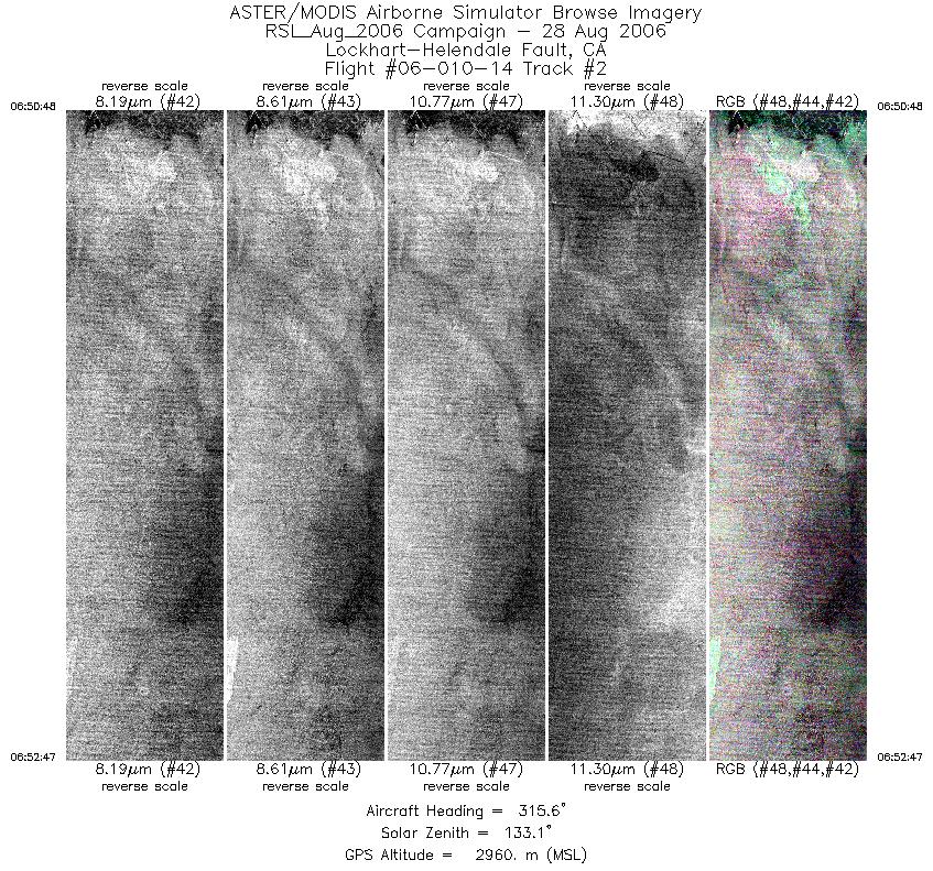
| 2 |
06:50 - 06:52 |
317.5 |
34.784 - 34.856 |
117.305 - 117.391 |
2955 |
2962 |
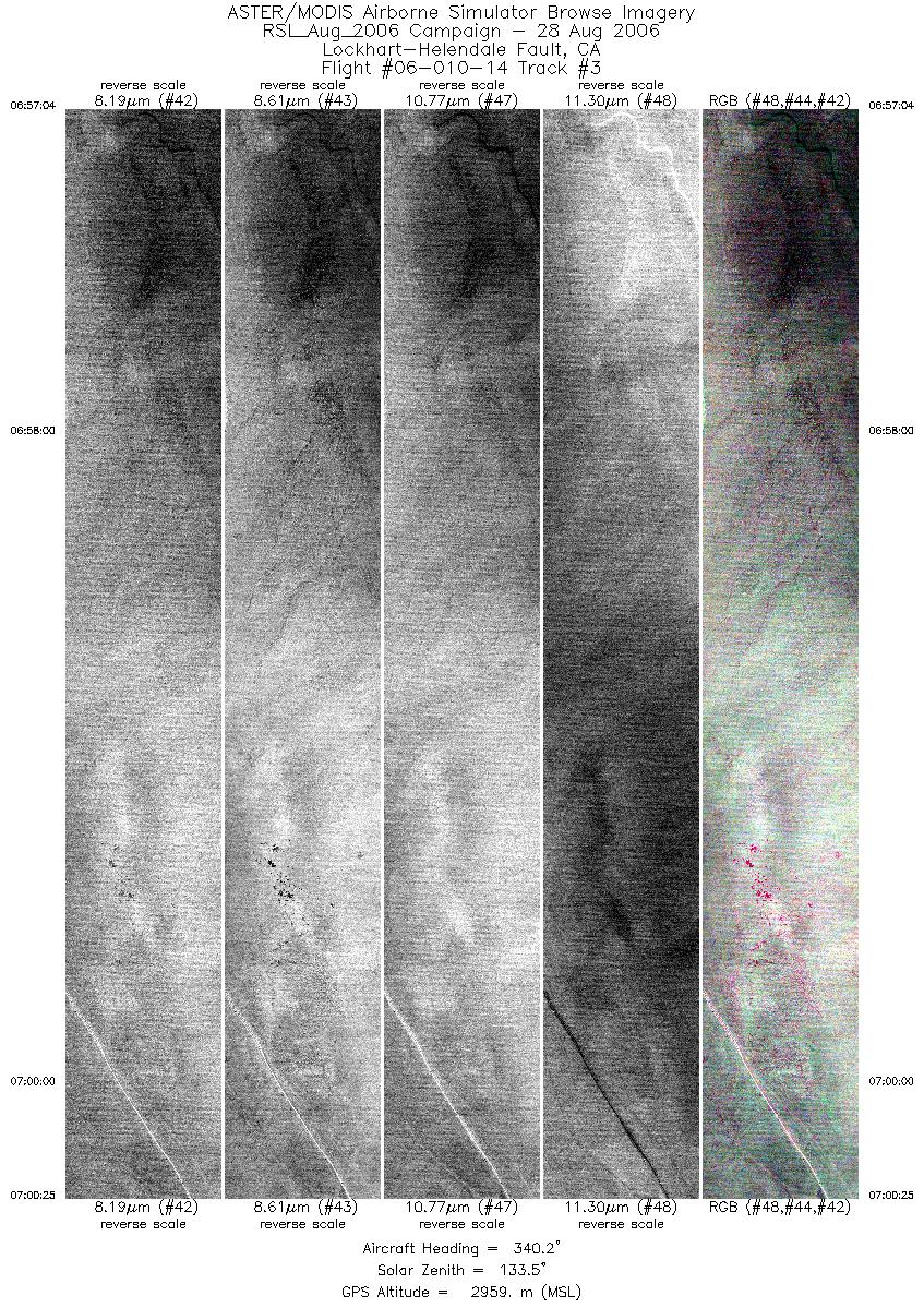
| 3 |
06:57 - 07:00 |
340.5 |
34.809 - 34.971 |
117.365 - 117.442 |
4996 |
2959 |
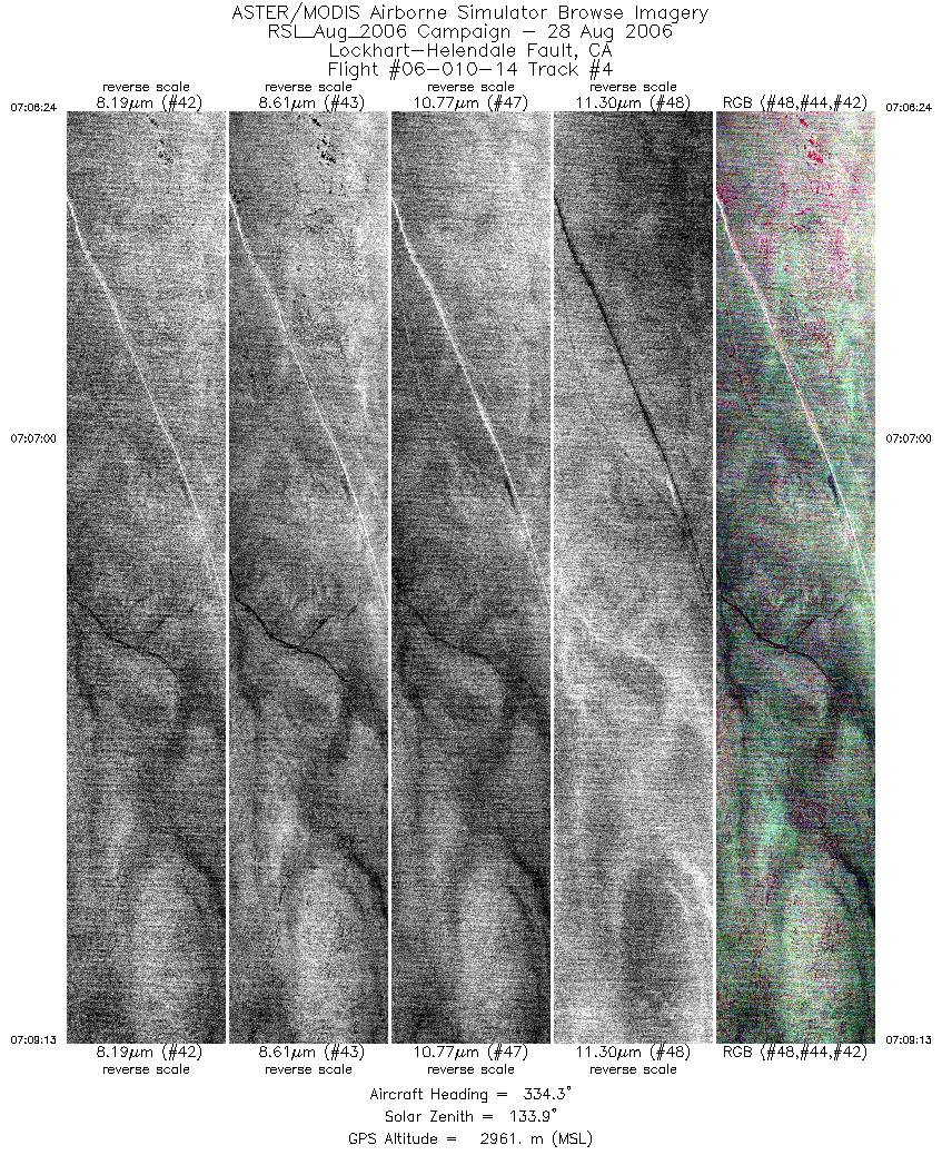
| 4 |
07:06 - 07:09 |
333.9 |
34.922 - 35.047 |
117.408 - 117.498 |
4190 |
2961 |
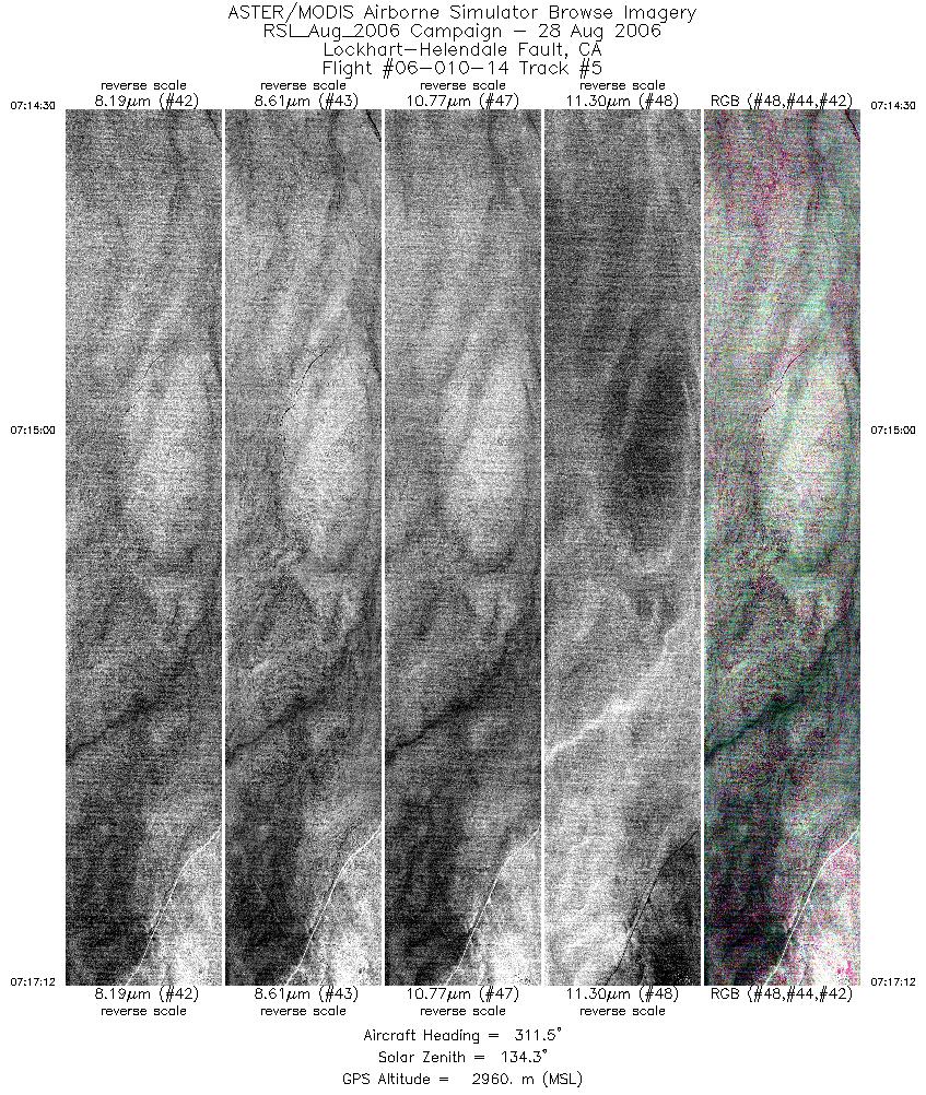
| 5 |
07:14 - 07:17 |
310.2 |
35.006 - 35.090 |
117.438 - 117.573 |
4021 |
2961 |
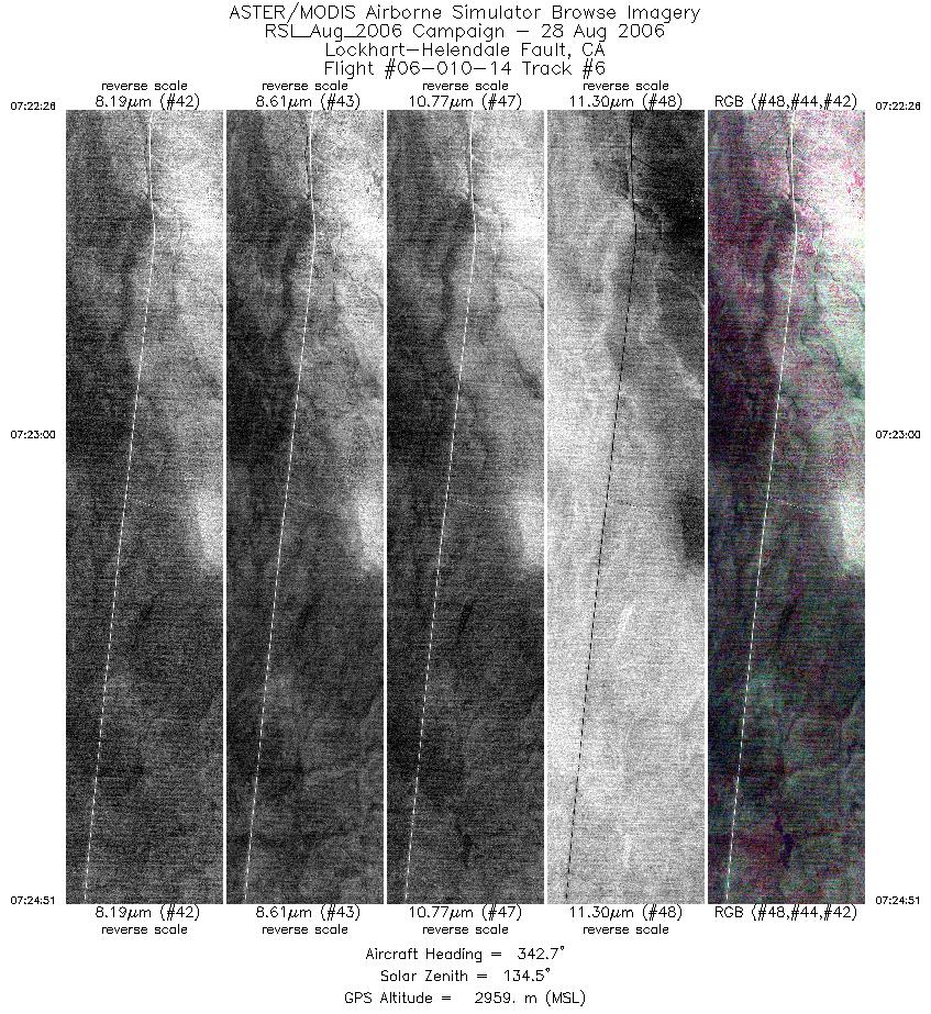
| 6 |
07:22 - 07:24 |
343.2 |
35.072 - 35.187 |
117.558 - 117.612 |
3617 |
2960 |
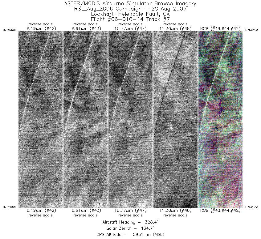
| 7 |
07:30 - 07:31 |
328.7 |
35.143 - 35.224 |
117.576 - 117.647 |
2869 |
2951 |
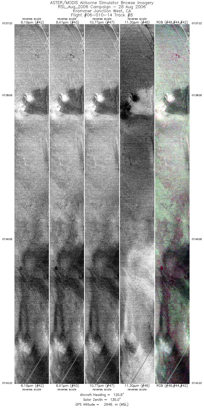
| 8 |
07:37 - 07:42 |
127.2 |
35.000 - 34.834 |
117.724 - 117.492 |
7452 |
2947 |
| 9 |
07:47 - 07:48 |
327.9 |
34.820 - 34.897 |
117.462 - 117.524 |
2723 |
2948 |
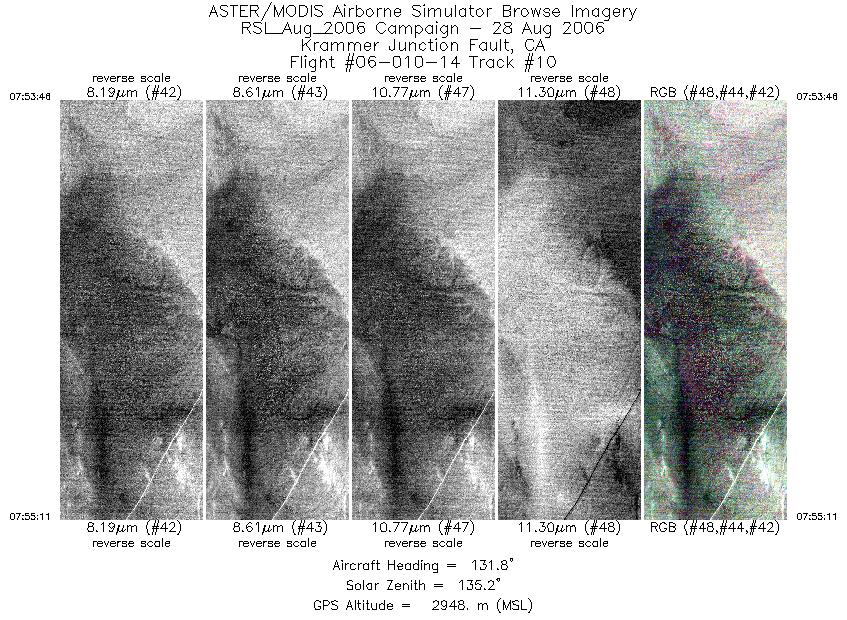
| 10 |
07:53 - 07:55 |
131.8 |
34.931 - 34.882 |
117.572 - 117.509 |
2100 |
2947 |
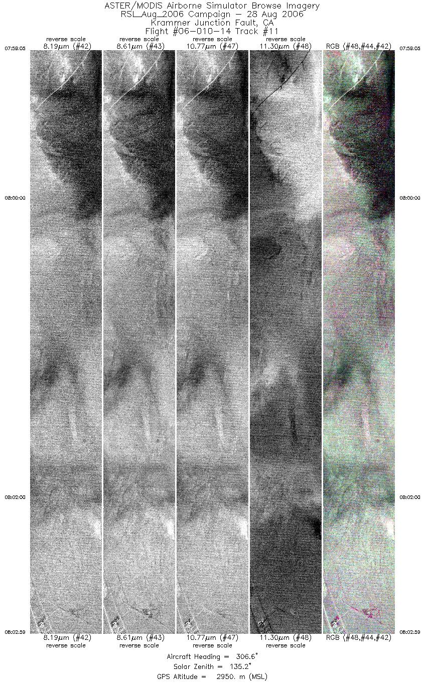
| 11 |
07:59 - 08:02 |
305.7 |
34.894 - 34.997 |
117.505 - 117.707 |
5822 |
2950 |
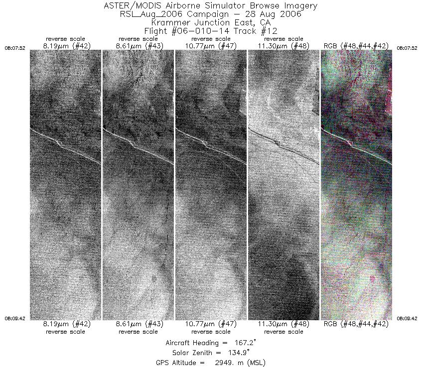
| 12 |
08:07 - 08:09 |
166.7 |
35.026 - 34.936 |
117.591 - 117.570 |
2715 |
2949 |
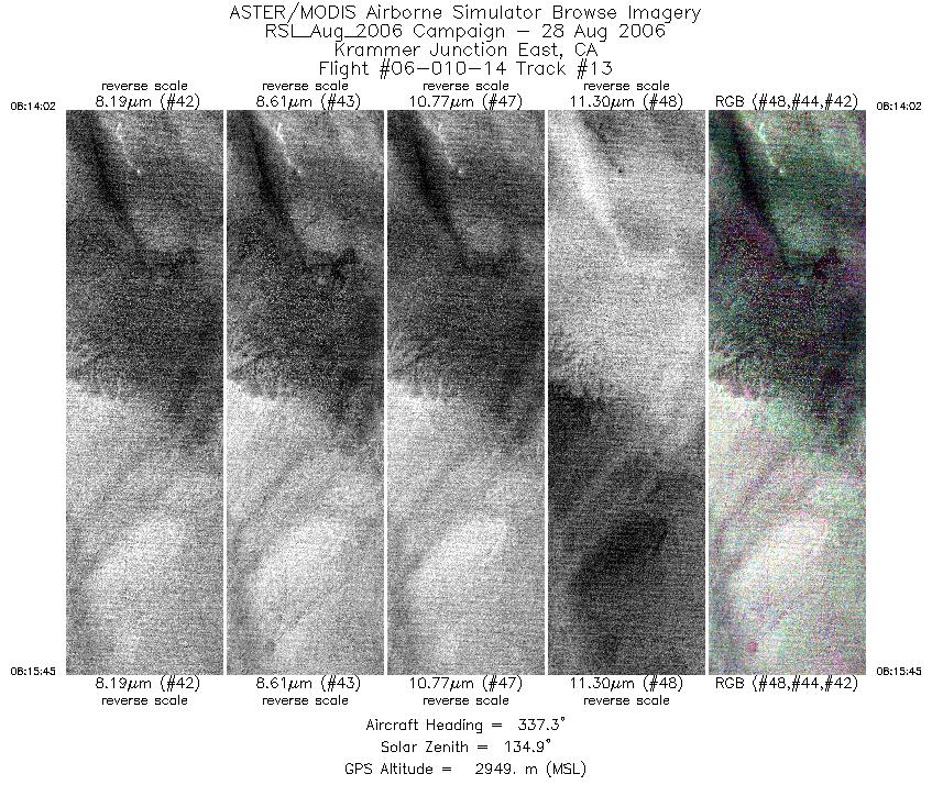
| 13 |
08:14 - 08:15 |
336.4 |
34.877 - 34.955 |
117.532 - 117.577 |
2574 |
2946 |
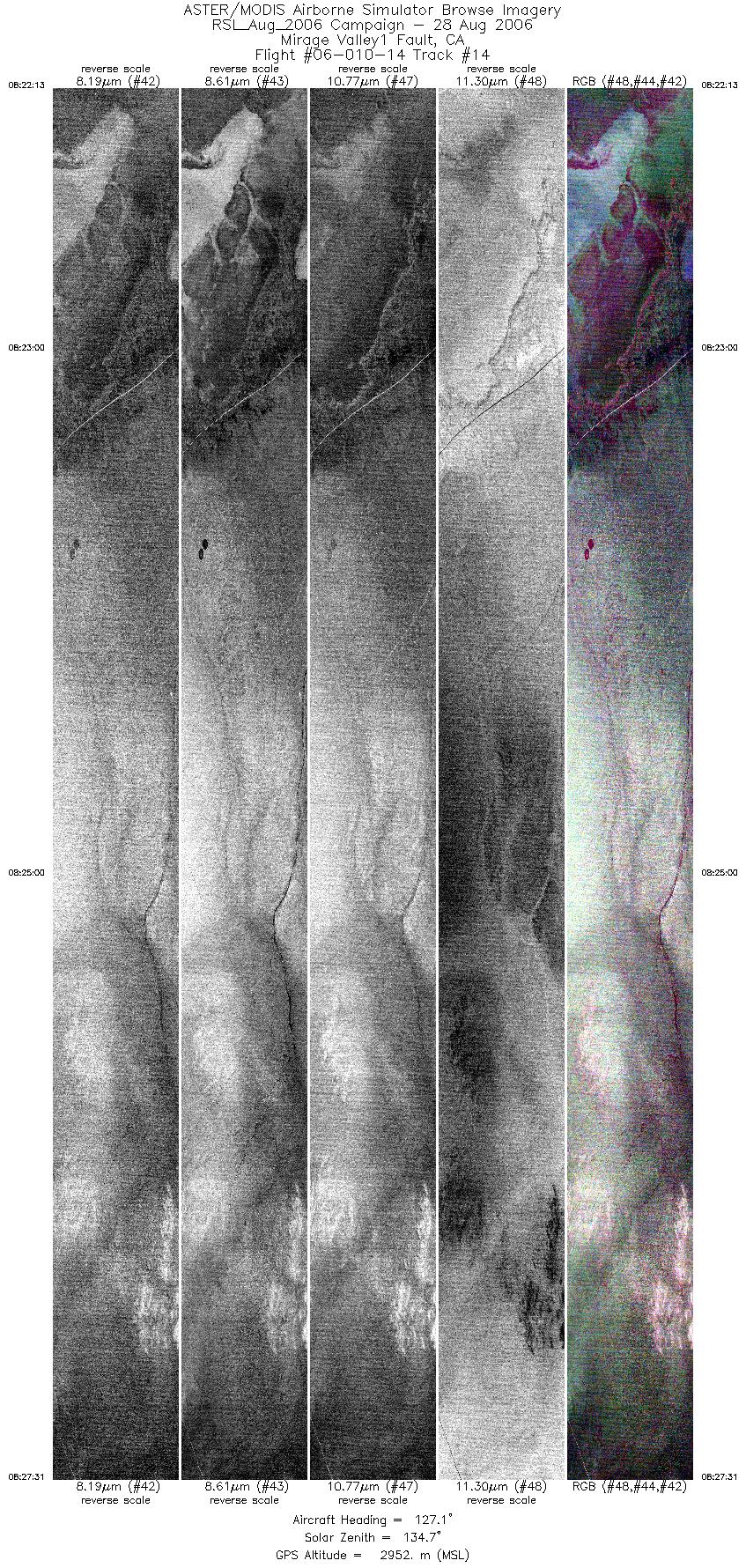
| 14 |
08:22 - 08:27 |
128.0 |
34.884 - 34.742 |
117.858 - 117.660 |
7903 |
2949 |
|


