Flight: 06-010-12
Date: August 26, 2006
Aircraft: DOE B200, #798
Deployment: RSL August 2006
Flight Location: Geological Fault Sites
Principal Investigator: Hook (JPL), Peltzer (JPL)
Additional Sensors: none
|
Data Evaluation
Weather: Clear skies
Haze: none to light
Turbulence: Light to moderate
Data quality is good; Port 3 looks great (selected bands)
|
Processing Information
Level-1B Data in HDF format is available
Flight Line Summary
Spectral Band Configuration
Spectral Response Function Table
Spectral Response Function (text)
|
Browse Imagery
Flight Tracks: 14
Scanlines: 57188
|
Browse Imagery Table
|
Click a Flight Track number to view a quicklook image
Lat/Lon ranges are for the BEG-END scanline nadir pixels
|
Flight
Track |
Time Span
(UTC) |
Heading
(Deg) |
Lat Range
(Deg N) |
Lon Range
(Deg W) |
Length
(Scanlines) |
Altitude
(Meters) |
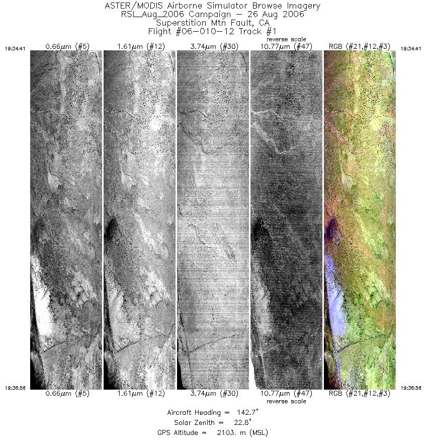
| 1 |
19:34 - 19:36 |
141.3 |
33.082 - 33.013 |
116.056 - 115.980 |
3374 |
2104 |
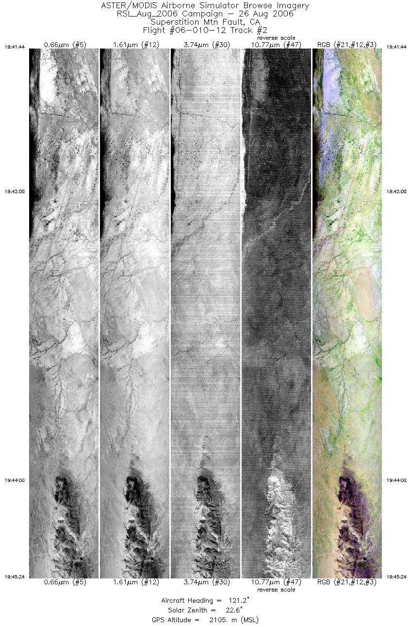
| 2 |
19:41 - 19:45 |
120.8 |
33.032 - 32.957 |
116.012 - 115.836 |
5462 |
2106 |
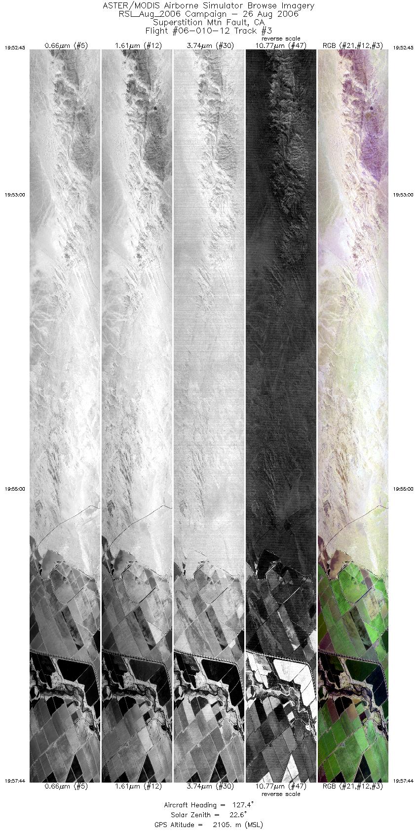
| 3 |
19:52 - 19:57 |
123.7 |
32.970 - 32.857 |
115.863 - 115.639 |
7421 |
2105 |
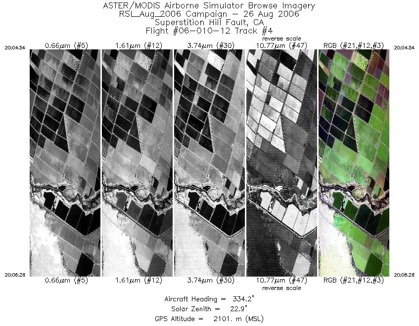
| 4 |
20:04 - 20:06 |
332.2 |
32.837 - 32.901 |
115.630 - 115.664 |
2300 |
2099 |
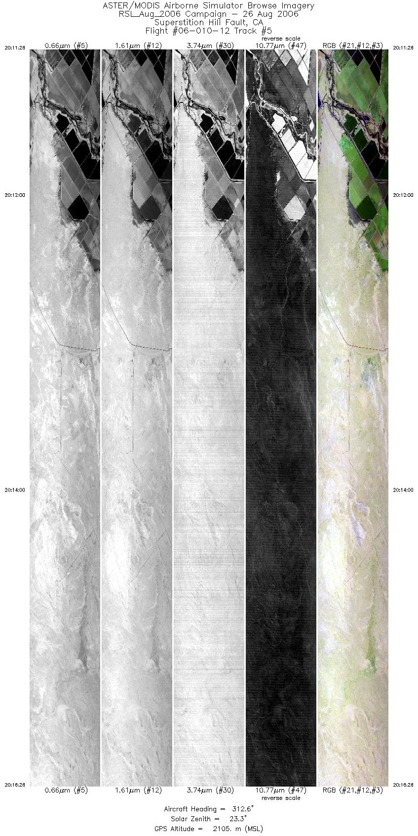
| 5 |
20:11 - 20:16 |
309.7 |
32.867 - 33.010 |
115.629 - 115.803 |
7455 |
2104 |
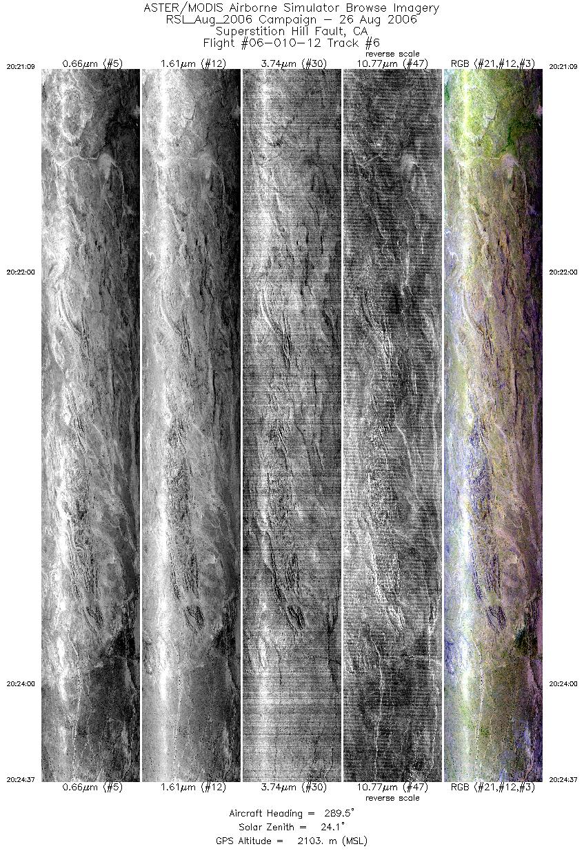
| 6 |
20:21 - 20:24 |
286.2 |
32.995 - 33.039 |
115.764 - 115.908 |
5173 |
2100 |
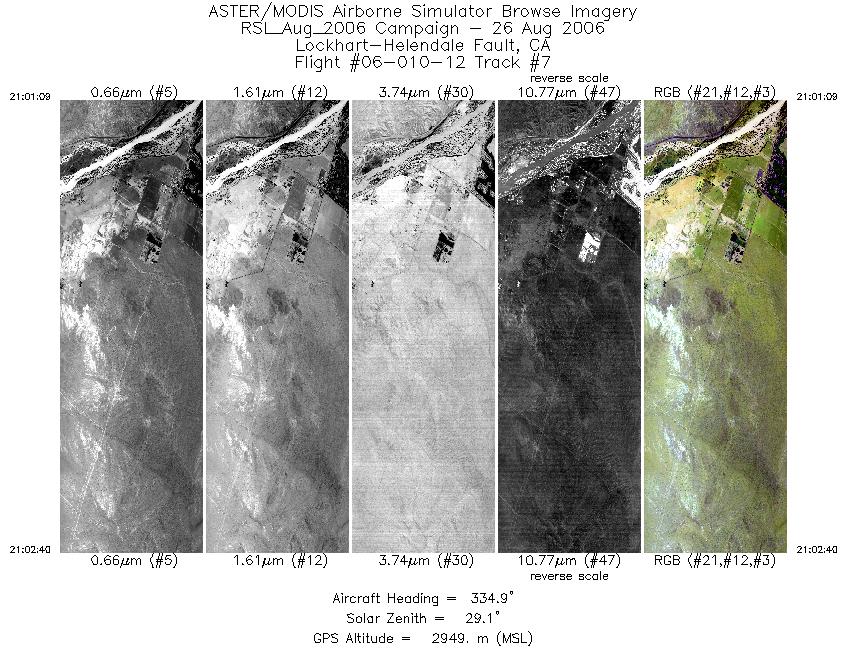
| 7 |
21:01 - 21:02 |
335.5 |
34.753 - 34.822 |
117.312 - 117.347 |
2266 |
2950 |
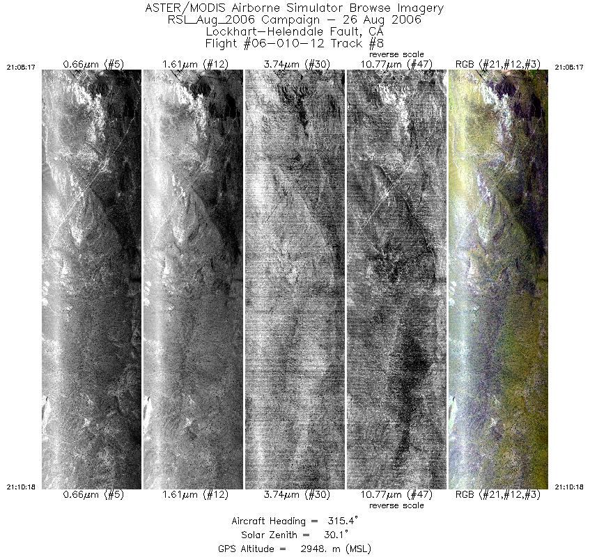
| 8 |
21:08 - 21:10 |
314.4 |
34.786 - 34.856 |
117.310 - 117.392 |
3017 |
2948 |
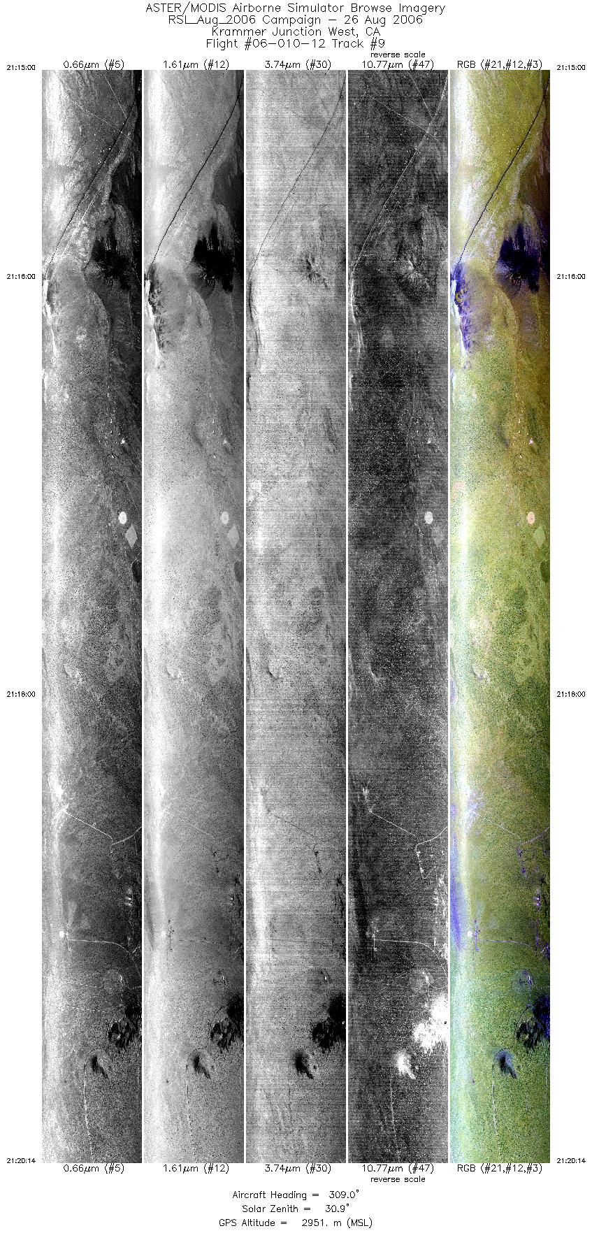
| 9 |
21:14 - 21:20 |
308.9 |
34.823 - 34.982 |
117.476 - 117.698 |
7824 |
2950 |
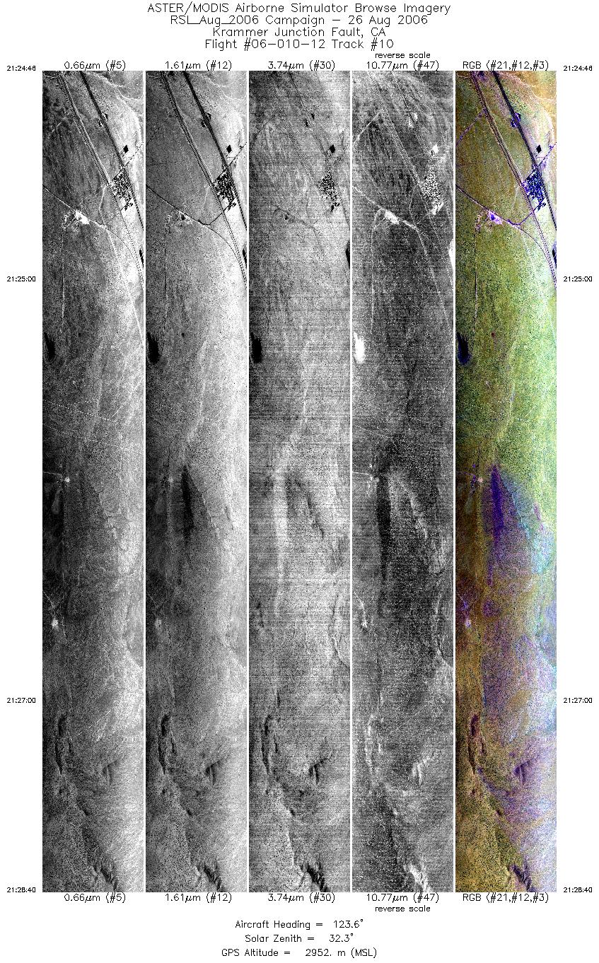
| 10 |
21:24 - 21:28 |
124.2 |
35.010 - 34.914 |
117.732 - 117.545 |
5814 |
2953 |
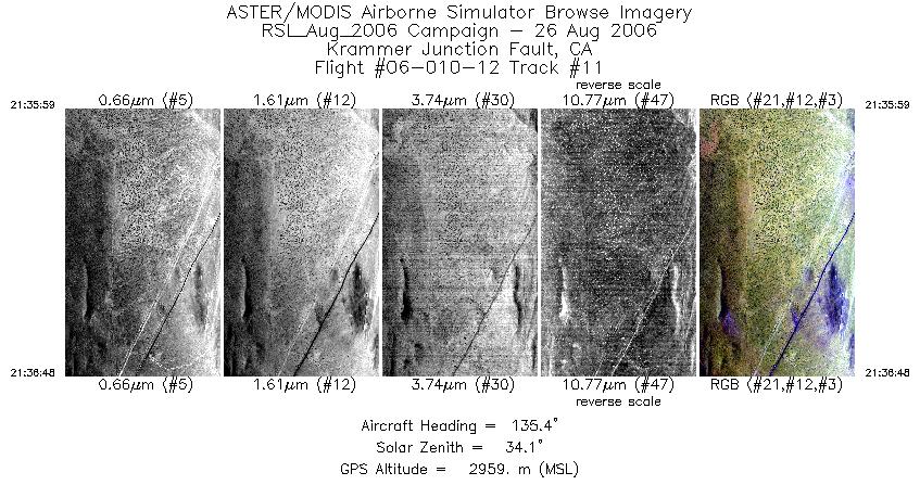
| 11 |
21:35 - 21:36 |
136.1 |
34.908 - 34.883 |
117.543 - 117.509 |
1237 |
2957 |
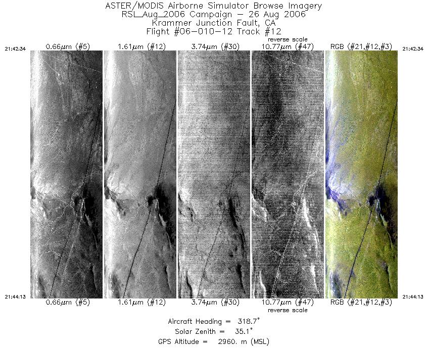
| 12 |
21:42 - 21:44 |
322.0 |
34.832 - 34.895 |
117.470 - 117.523 |
2459 |
2961 |
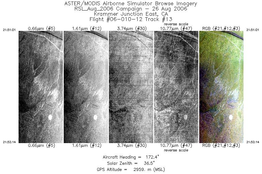
| 13 |
21:51 - 21:52 |
172.1 |
34.994 - 34.938 |
117.583 - 117.571 |
1817 |
2960 |
| 14 |
21:58 - 21:59 |
155.7 |
34.956 - 34.912 |
117.577 - 117.552 |
1569 |
2961 |
|


