


FLIGHT SUMMARY INFORMATION
Flight Track Map


|
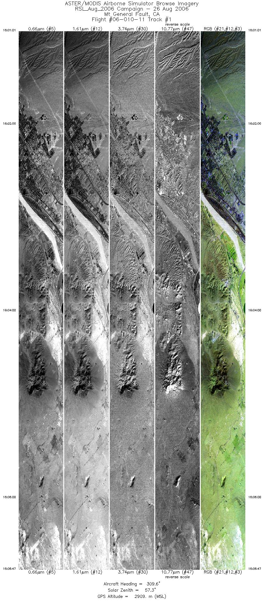
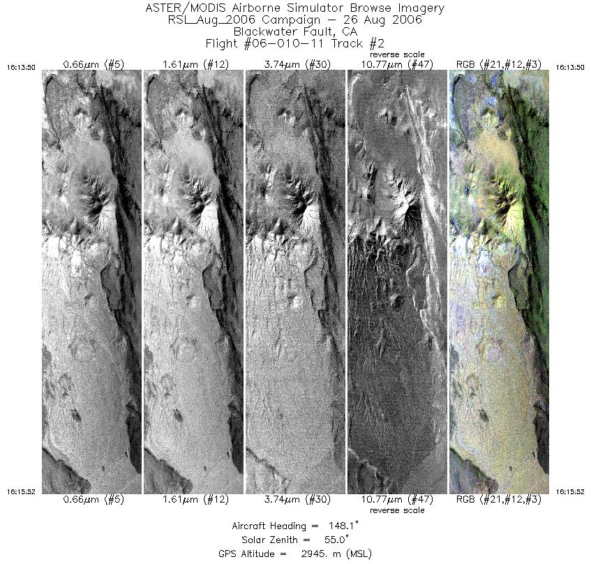
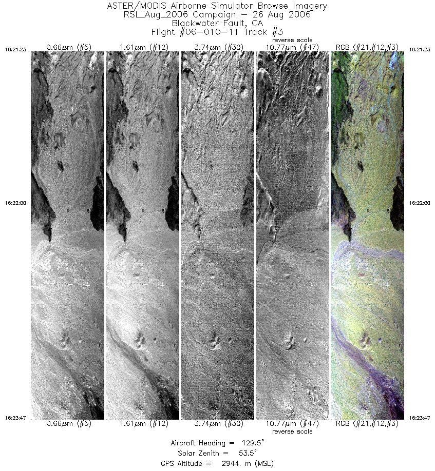
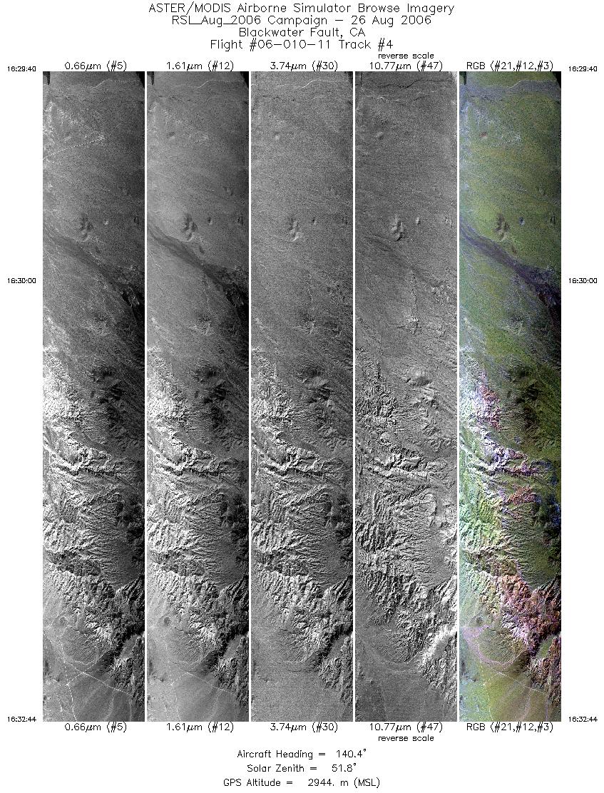
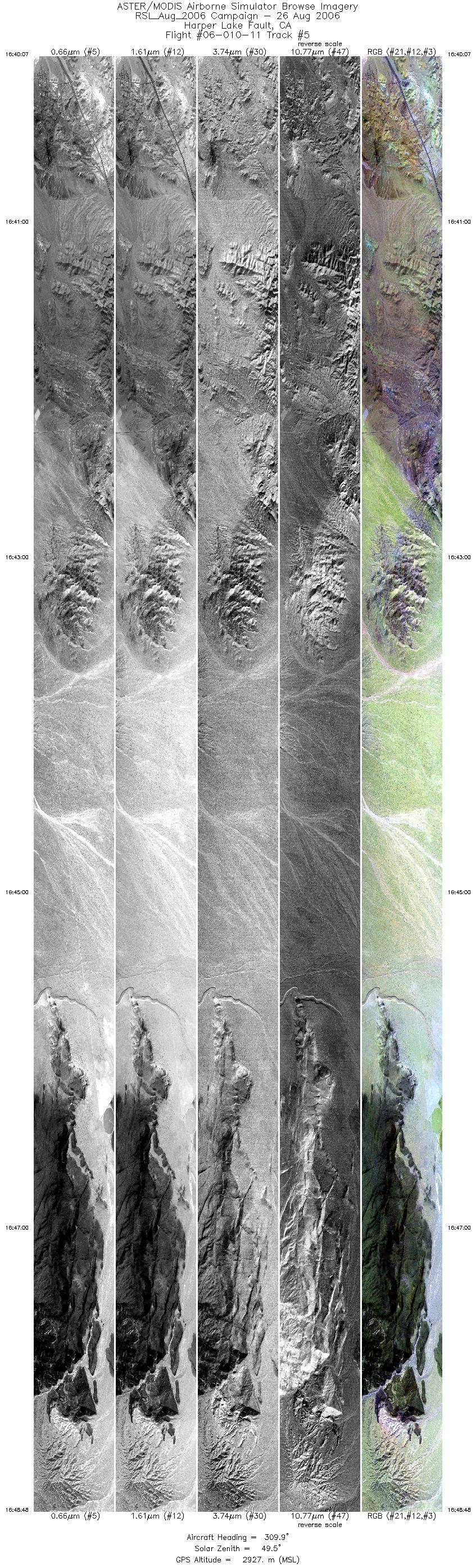
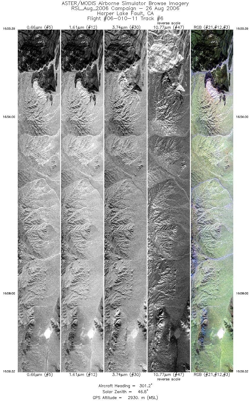
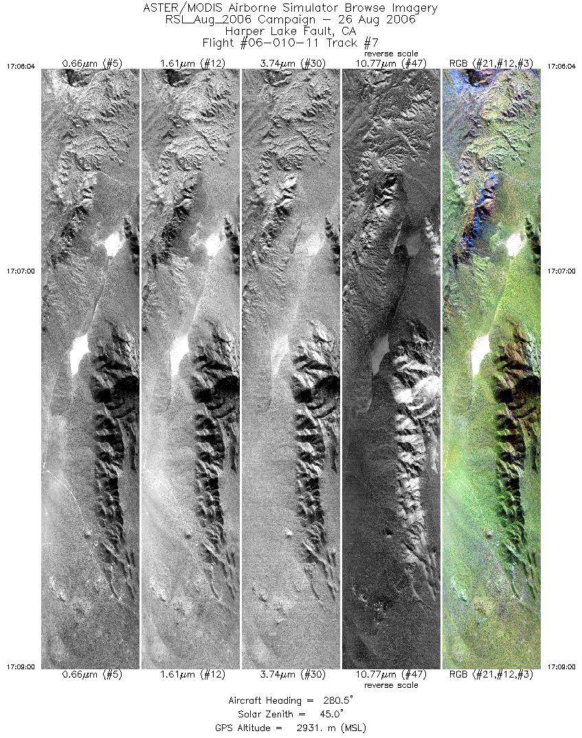
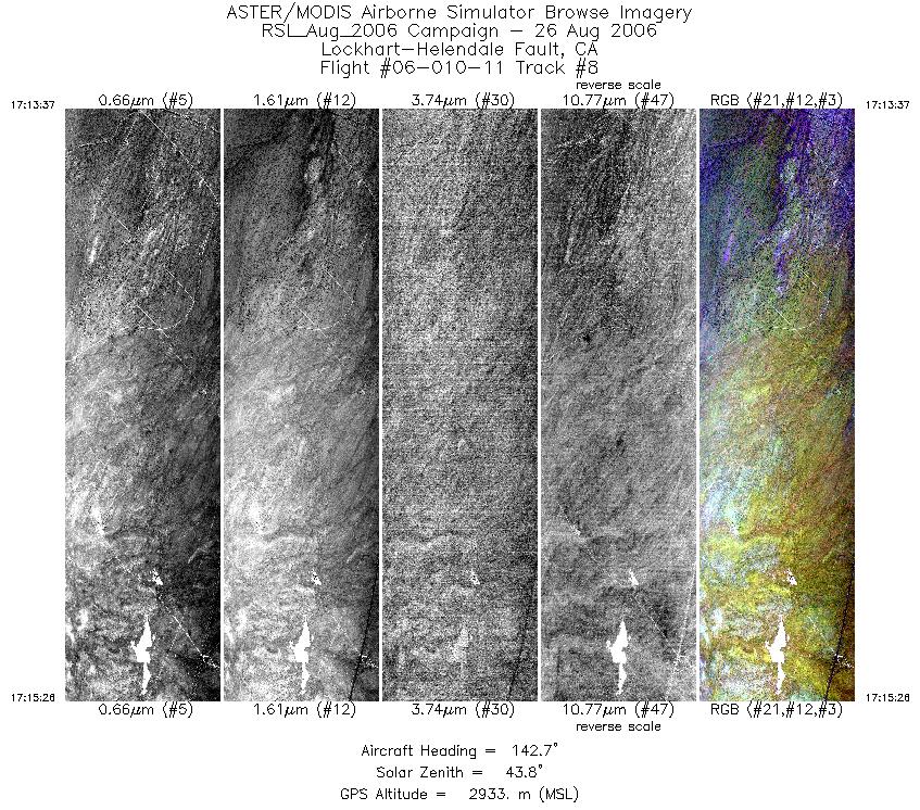
Flight: 06-010-11 Date: August 26, 2006 Aircraft: DOE B200, #798 Deployment: RSL August 2006 Flight Location: Geological Fault Sites Principal Investigator: Hook (JPL), Peltzer (JPL) Additional Sensors: none |
||||||||||||||||||||||||||||||||||||||||||||||||||||||||||||||||||||||||||||||||||||||||||||||||||||||||||||||||
|
Data Evaluation Weather: Clear skies Haze: none to light Turbulence: Light to moderate Data quality is good; Port 3 looks great (selected bands) |
||||||||||||||||||||||||||||||||||||||||||||||||||||||||||||||||||||||||||||||||||||||||||||||||||||||||||||||||
|
Processing Information Level-1B Data in HDF format is available Flight Line Summary Spectral Band Configuration Spectral Response Function Table Spectral Response Function (text) |
||||||||||||||||||||||||||||||||||||||||||||||||||||||||||||||||||||||||||||||||||||||||||||||||||||||||||||||||
|
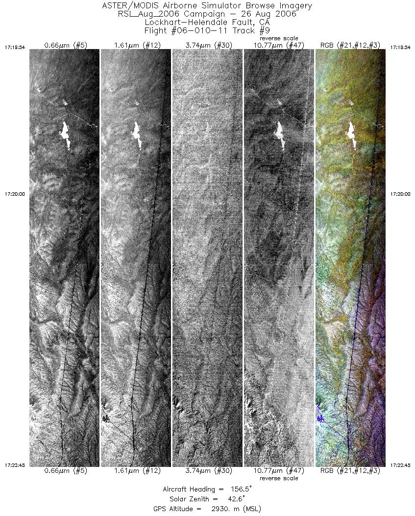
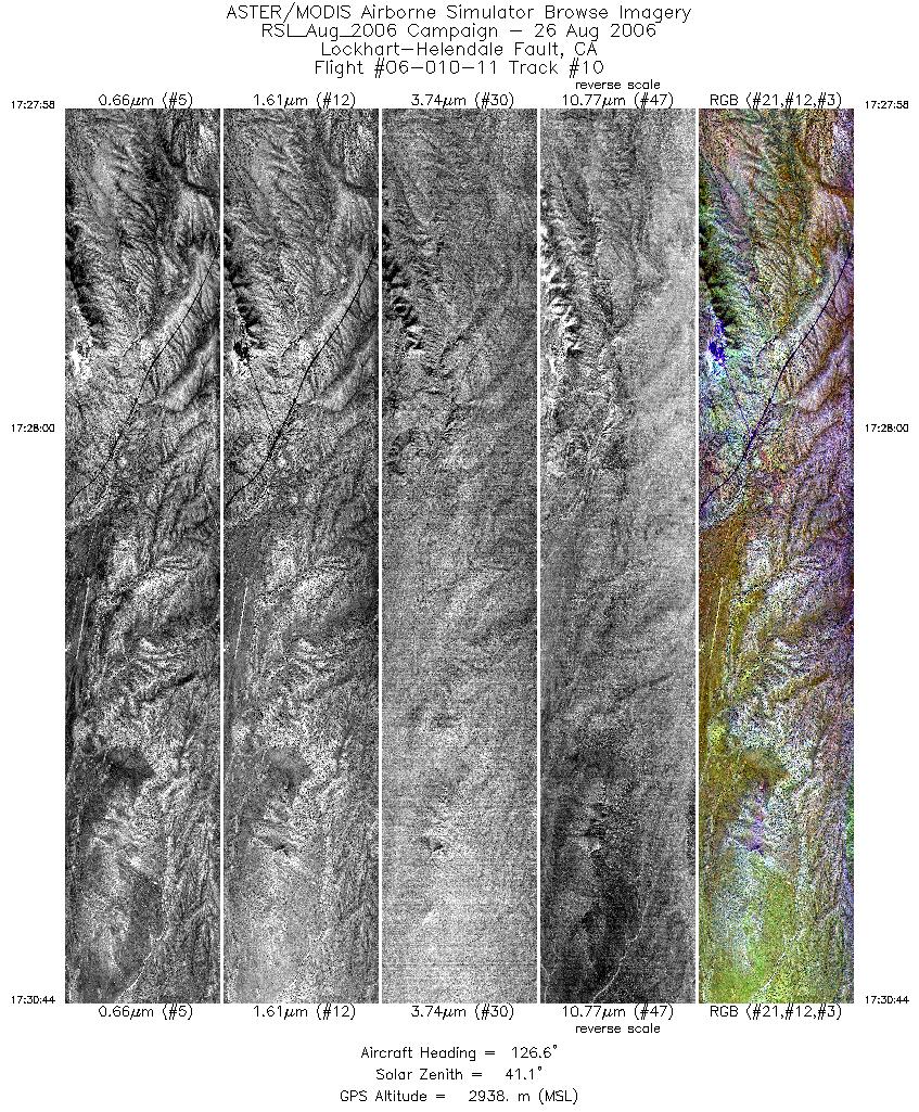
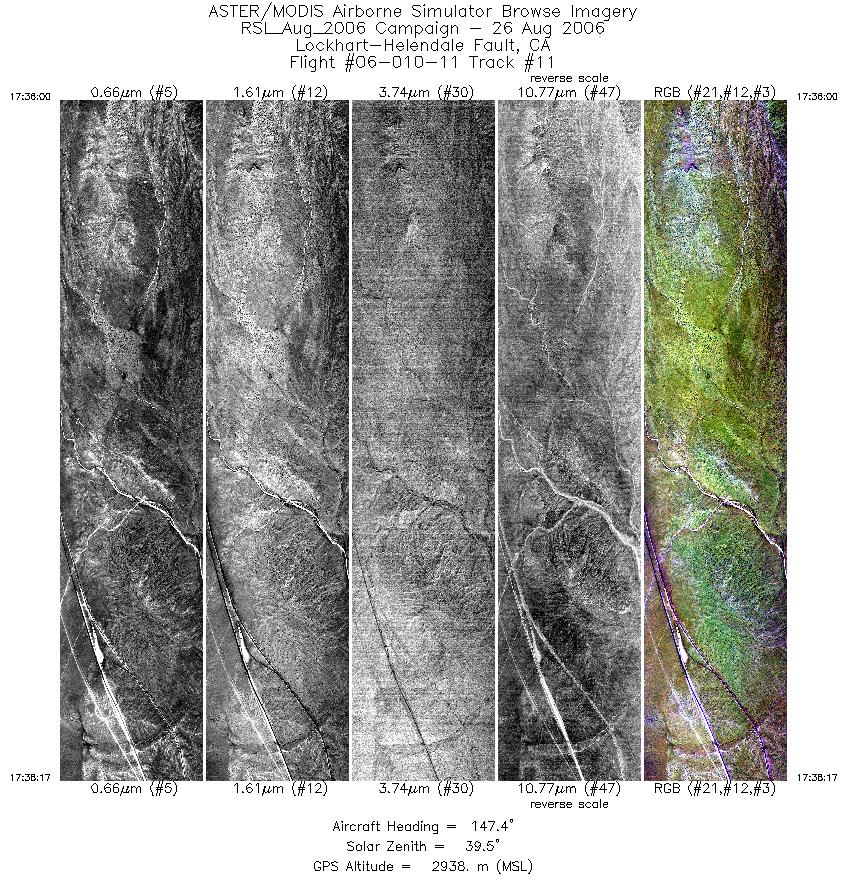
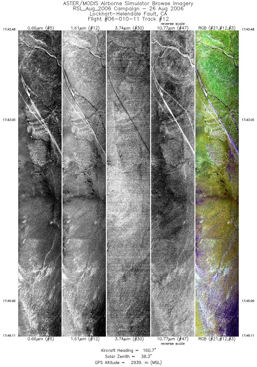
Browse Imagery Flight Tracks: 12 Scanlines: 62493 |
||||||||||||||||||||||||||||||||||||||||||||||||||||||||||||||||||||||||||||||||||||||||||||||||||||||||||||||||
|
||||||||||||||||||||||||||||||||||||||||||||||||||||||||||||||||||||||||||||||||||||||||||||||||||||||||||||||||


