Flight: 06-010-09
Date: August 26, 2006
Aircraft: DOE B200, #798
Deployment: RSL August 2006
Flight Location: Geological Fault Sites (night)
Principal Investigator: Hook (JPL), Peltzer (JPL)
Additional Sensors: none
|
Data Evaluation
Weather: Clear skies
Haze: none to light
Turbulence: Light to moderate
Data quality is good; Port 3 looks great (selected bands)
|
Processing Information
Level-1B Data in HDF format is available
Flight Line Summary
Spectral Band Configuration
Spectral Response Function Table
Spectral Response Function (text)
|
Browse Imagery
Flight Tracks: 13
Scanlines: 56355
|
Browse Imagery Table
|
Click a Flight Track number to view a quicklook image
Lat/Lon ranges are for the BEG-END scanline nadir pixels
|
Flight
Track |
Time Span
(UTC) |
Heading
(Deg) |
Lat Range
(Deg N) |
Lon Range
(Deg W) |
Length
(Scanlines) |
Altitude
(Meters) |
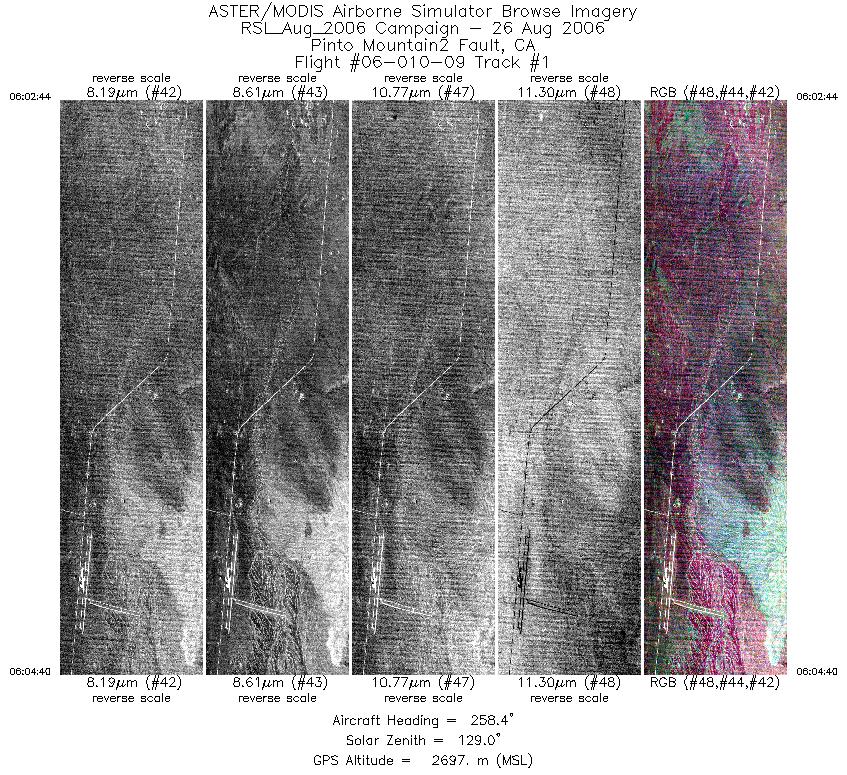
| 1 |
06:02 - 06:04 |
258.7 |
34.135 - 34.122 |
115.849 - 115.962 |
2878 |
2696 |
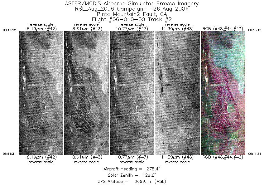
| 2 |
06:10 - 06:11 |
274.2 |
34.120 - 34.127 |
115.916 - 115.994 |
1983 |
2700 |
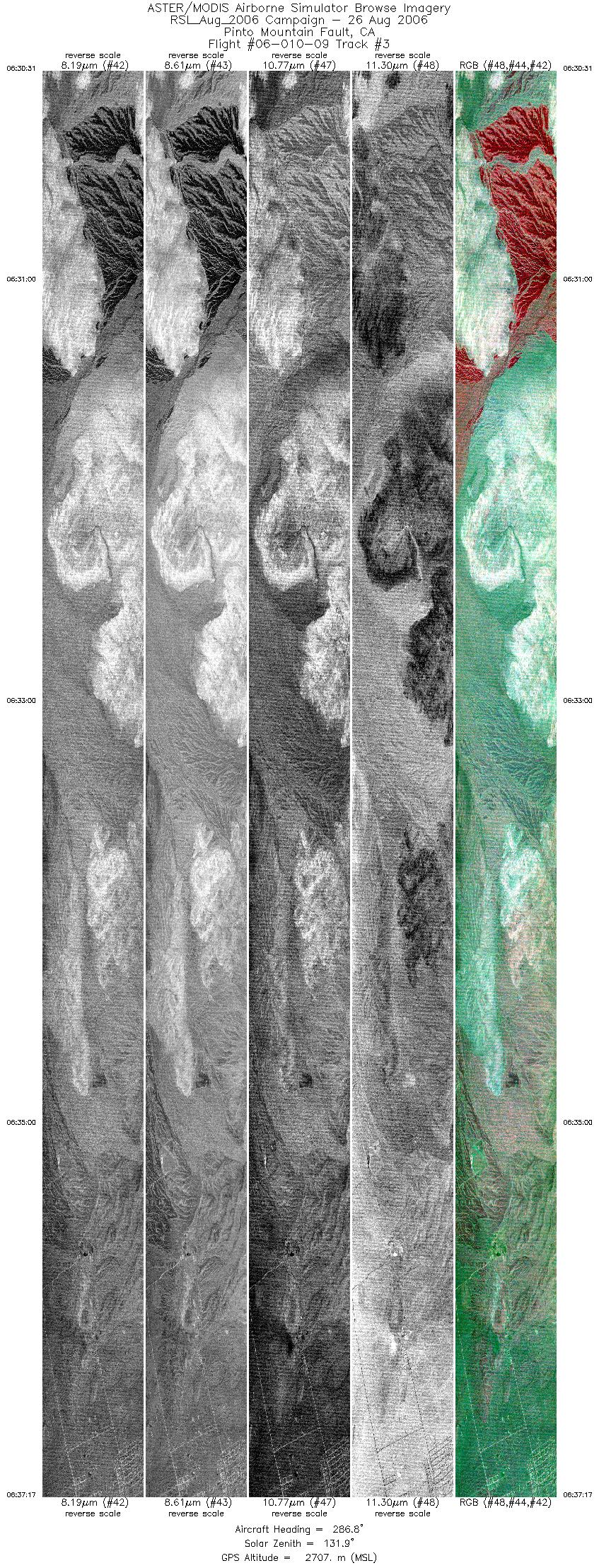
| 3 |
06:30 - 06:37 |
286.0 |
34.048 - 34.131 |
115.762 - 116.031 |
10079 |
2708 |
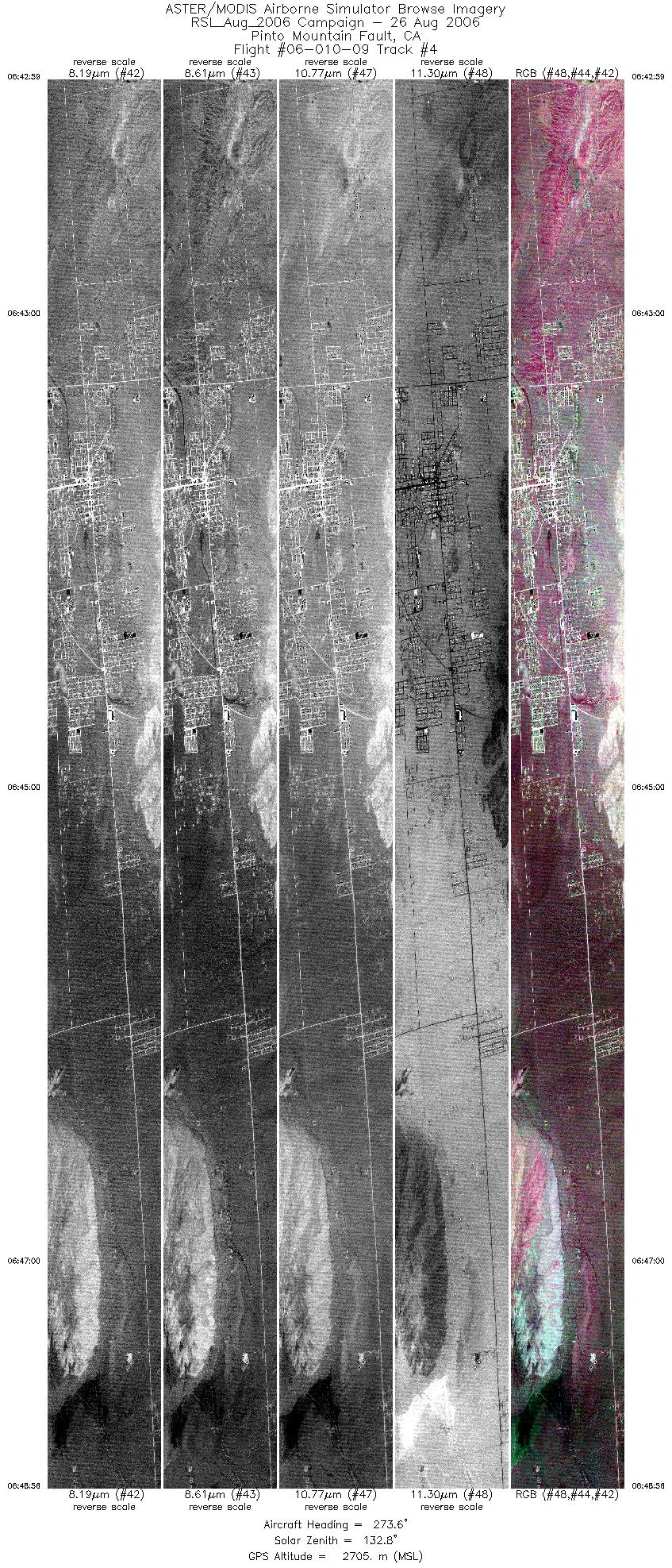
| 4 |
06:42 - 06:48 |
275.0 |
34.125 - 34.149 |
115.982 - 116.235 |
8879 |
2707 |
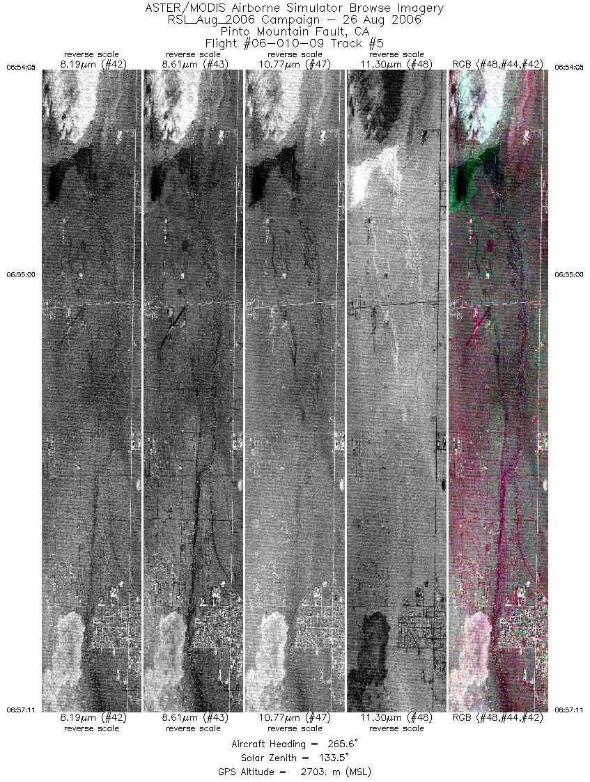
| 5 |
06:54 - 06:57 |
267.9 |
34.149 - 34.145 |
116.199 - 116.330 |
4618 |
2703 |
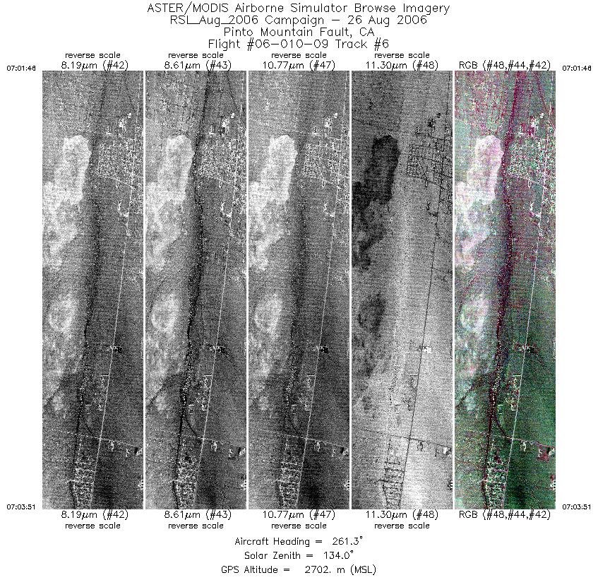
| 6 |
07:01 - 07:03 |
261.4 |
34.149 - 34.134 |
116.297 - 116.384 |
3106 |
2702 |
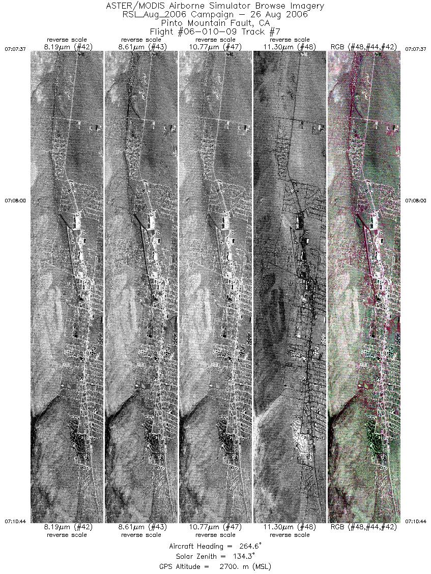
| 7 |
07:07 - 07:10 |
261.3 |
34.138 - 34.121 |
116.351 - 116.485 |
4647 |
2699 |
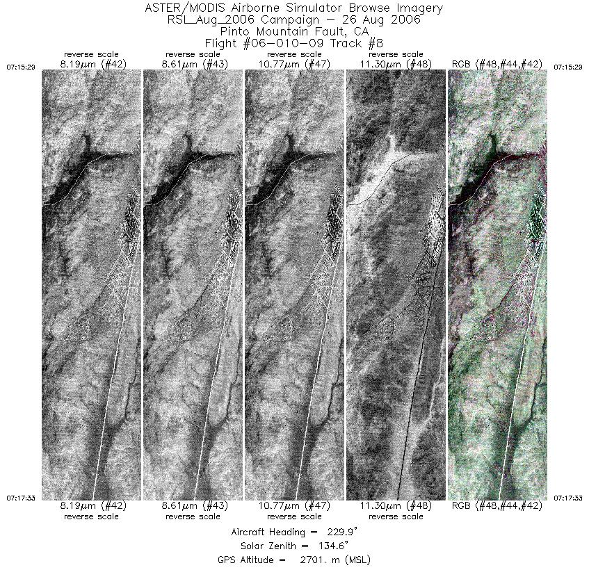
| 8 |
07:15 - 07:17 |
227.7 |
34.146 - 34.094 |
116.444 - 116.512 |
3102 |
2700 |
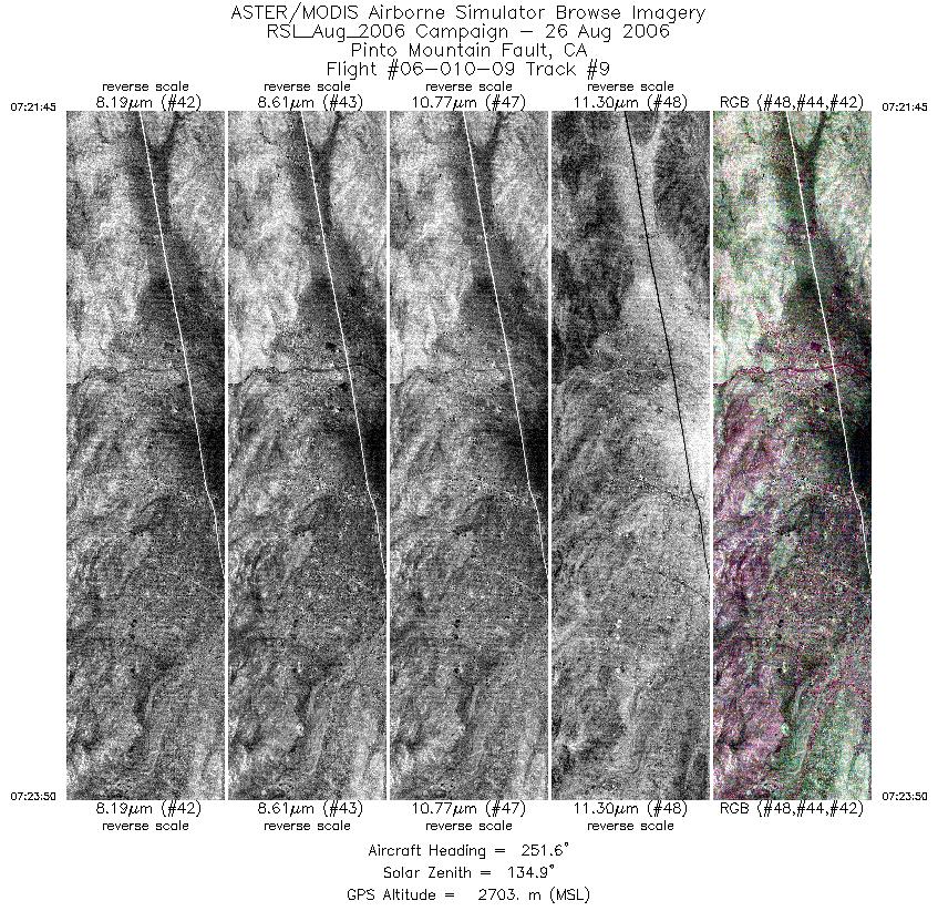
| 9 |
07:21 - 07:23 |
254.0 |
34.103 - 34.080 |
116.492 - 116.581 |
3114 |
2701 |
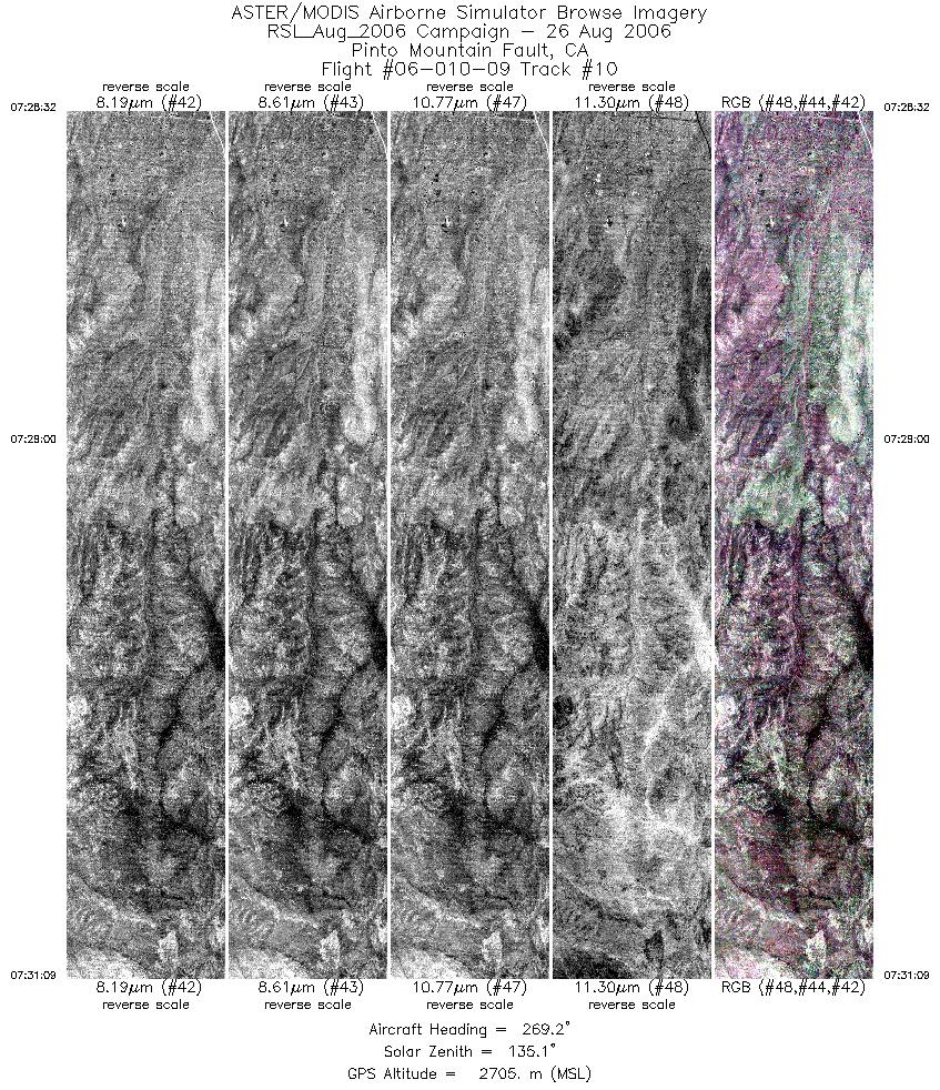
| 10 |
07:28 - 07:31 |
268.1 |
34.082 - 34.078 |
116.550 - 116.669 |
3910 |
2702 |
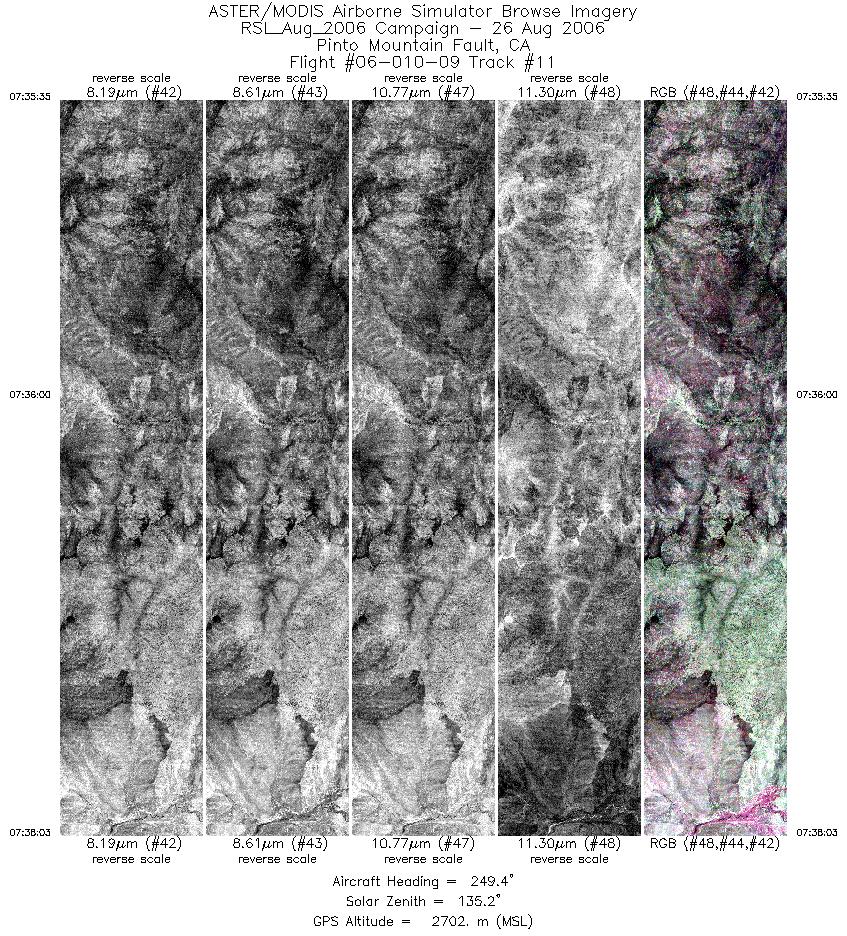
| 11 |
07:35 - 07:38 |
251.7 |
34.092 - 34.054 |
116.624 - 116.726 |
3683 |
2702 |
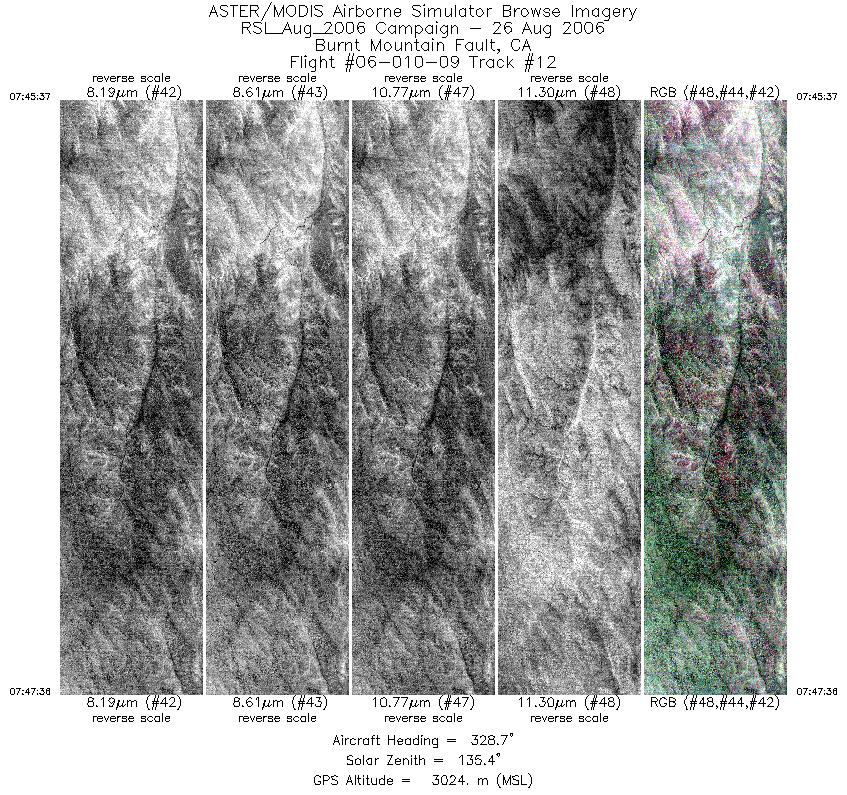
| 12 |
07:45 - 07:47 |
330.7 |
33.993 - 34.062 |
116.378 - 116.418 |
2977 |
3028 |
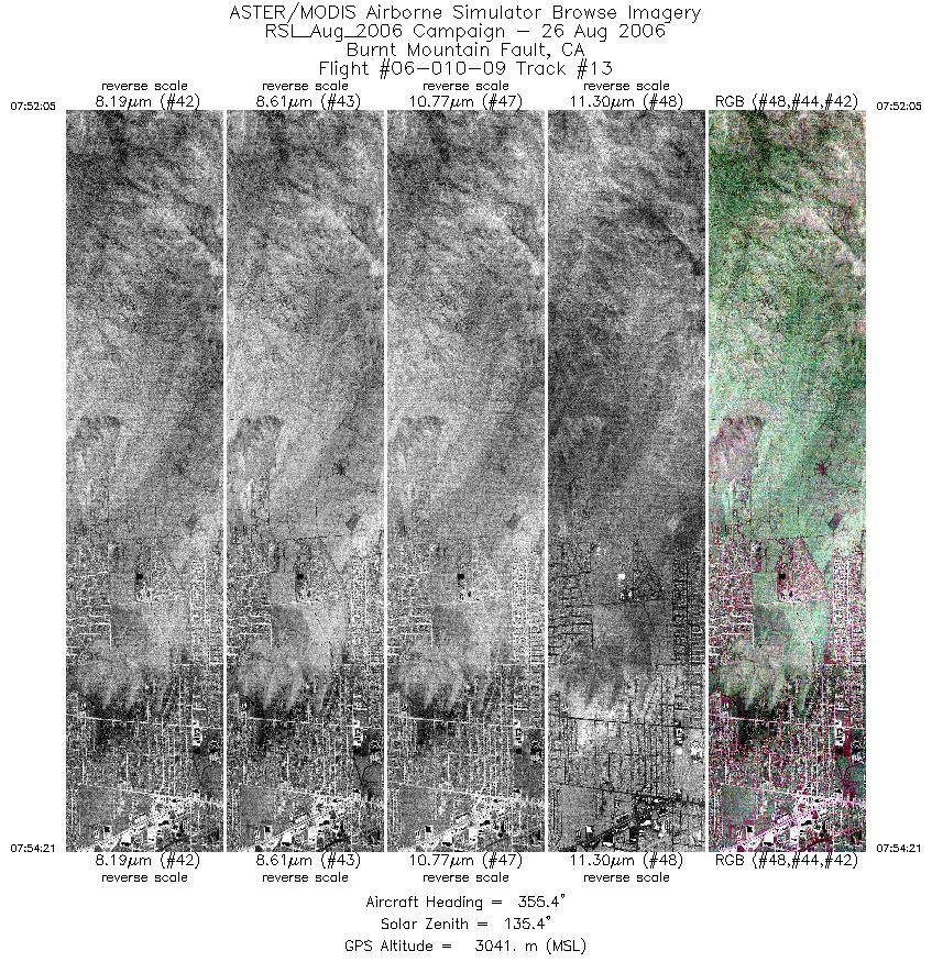
| 13 |
07:52 - 07:54 |
355.8 |
34.040 - 34.128 |
116.414 - 116.412 |
3379 |
3042 |
|


