Flight: 06-010-04
Date: August 23, 2006
Aircraft: DOE B200, #798
Deployment: RSL August 2006
Flight Location: Geological Fault Sites
Principal Investigator: Hook (JPL), Peltzer (JPL)
Additional Sensors: none
|
Data Evaluation
Weather: Clear skies
Haze: none to light
Turbulence: Light to moderate
Data quality is good; Port 3 looks great (selected bands)
|
Processing Information
Level-1B Data in HDF format is available
Flight Line Summary
Spectral Band Configuration
Spectral Response Function Table
Spectral Response Function (text)
|
Browse Imagery
Flight Tracks: 21
Scanlines: 101607
|
Browse Imagery Table
|
Click a Flight Track number to view a quicklook image
Lat/Lon ranges are for the BEG-END scanline nadir pixels
|
Flight
Track |
Time Span
(UTC) |
Heading
(Deg) |
Lat Range
(Deg N) |
Lon Range
(Deg W) |
Length
(Scanlines) |
Altitude
(Meters) |
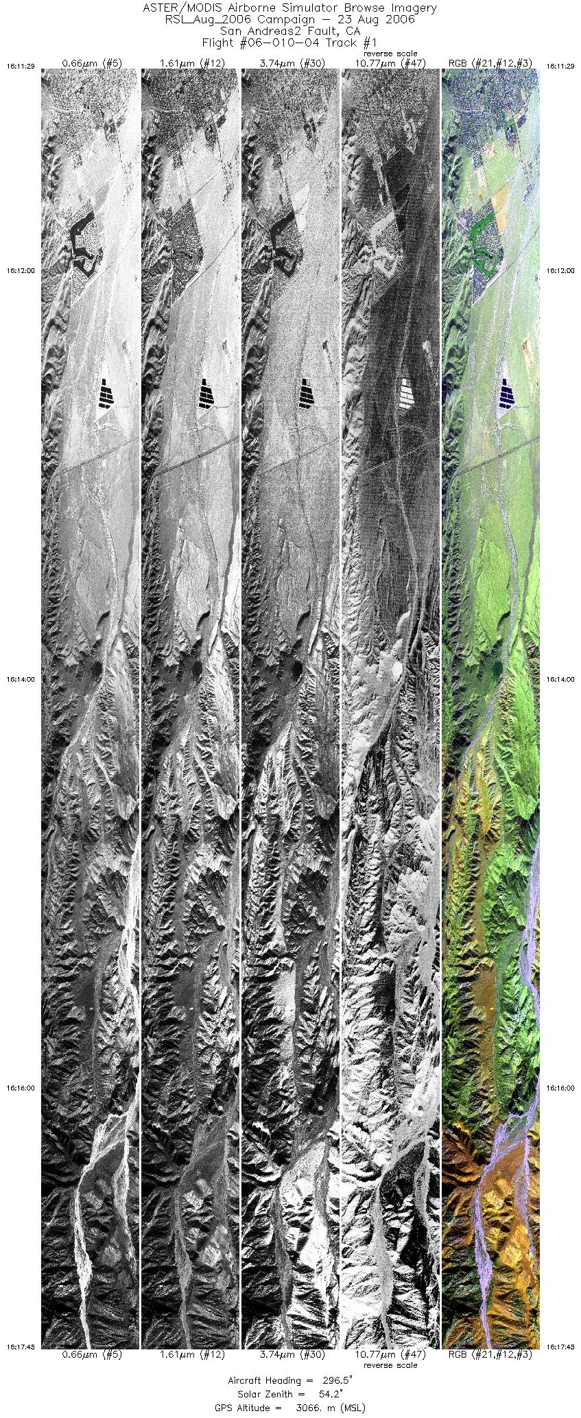
| 1 |
16:11 - 16:17 |
295.6 |
33.965 - 34.067 |
116.499 - 116.760 |
9337 |
3061 |
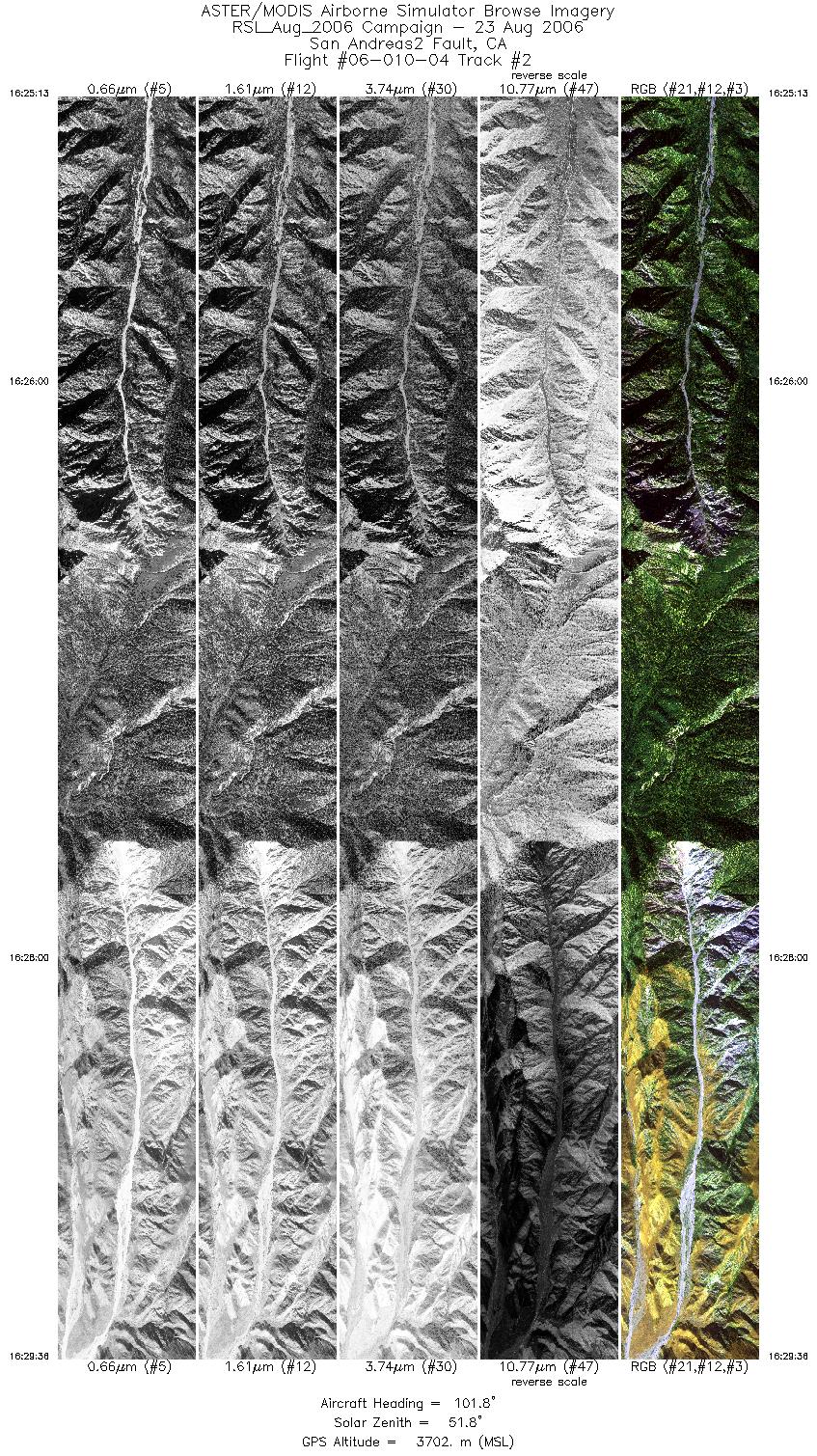
| 2 |
16:25 - 16:29 |
102.2 |
34.083 - 34.059 |
116.917 - 116.717 |
6546 |
3699 |
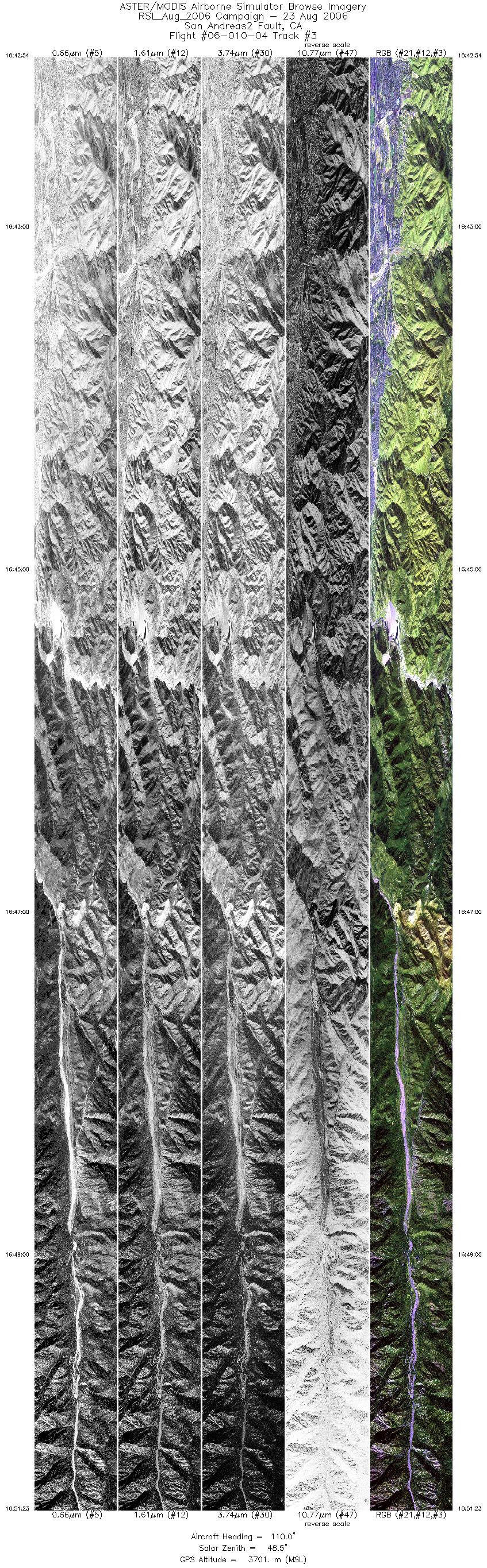
| 3 |
16:42 - 16:51 |
108.2 |
34.160 - 34.076 |
117.238 - 116.865 |
12652 |
3699 |
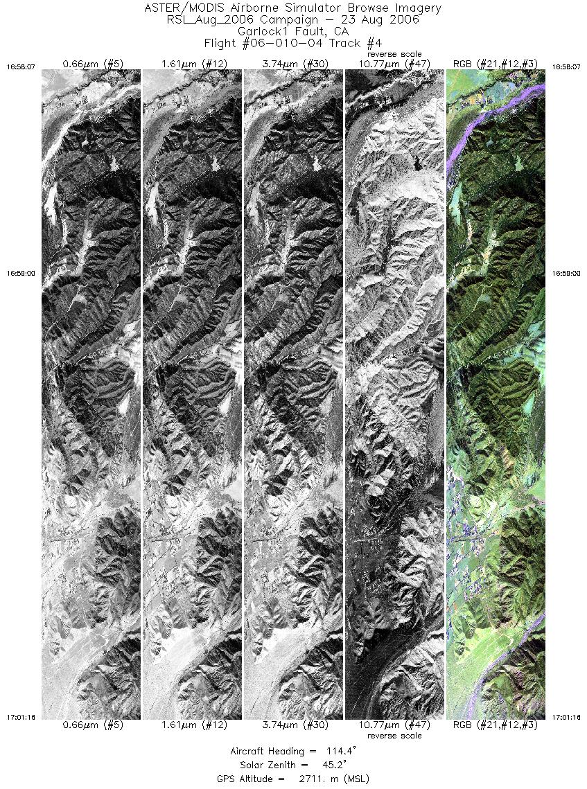
| 4 |
16:58 - 17:01 |
115.4 |
33.999 - 33.945 |
116.917 - 116.787 |
4697 |
2709 |
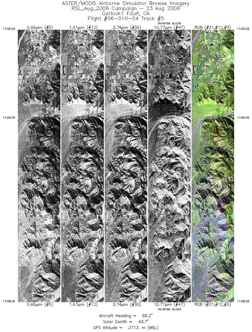
| 5 |
17:05 - 17:08 |
88.2 |
33.950 - 33.950 |
116.843 - 116.700 |
4583 |
2713 |
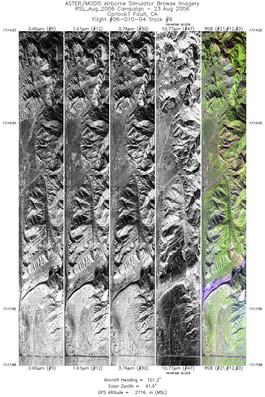
| 6 |
17:14 - 17:17 |
100.5 |
33.957 - 33.934 |
116.762 - 116.592 |
5363 |
2713 |
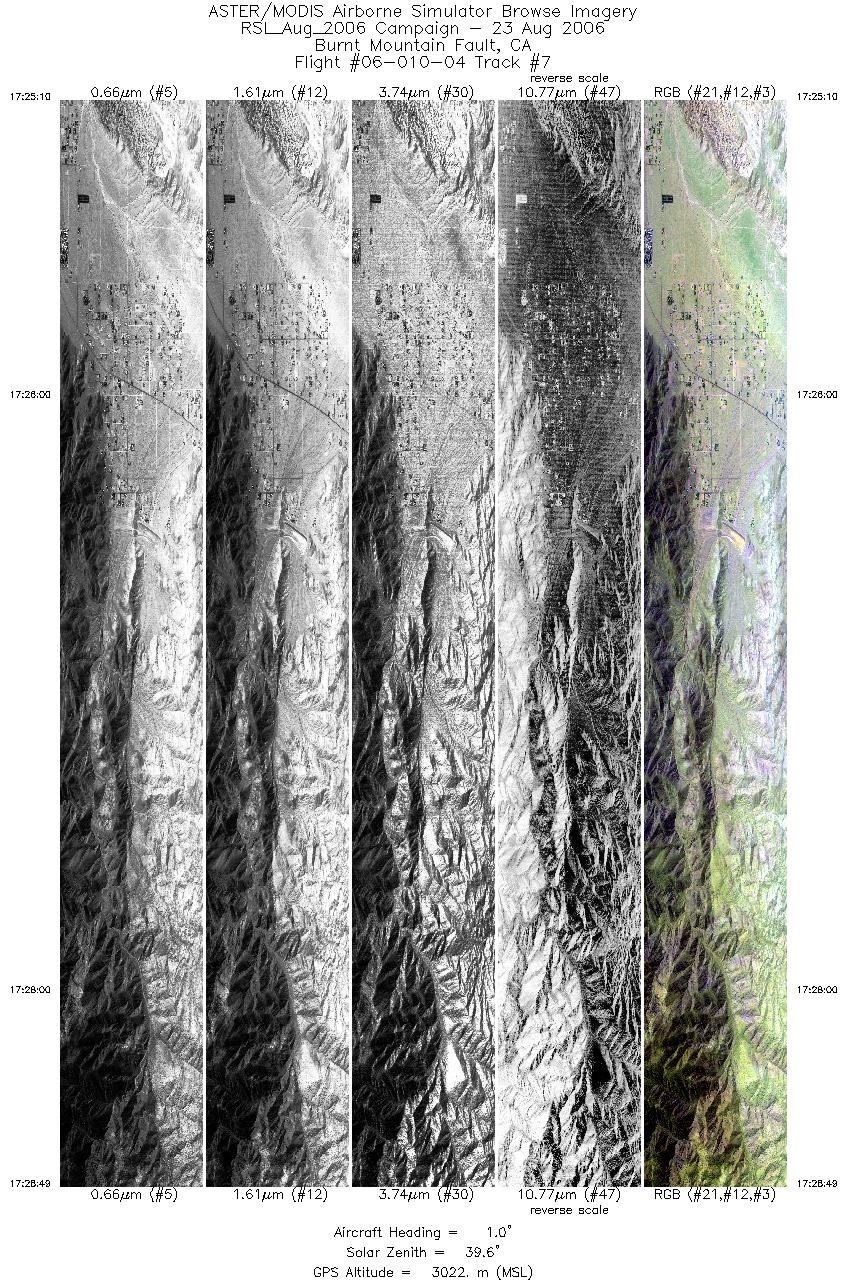
| 7 |
17:25 - 17:28 |
0.8 |
33.881 - 34.021 |
116.390 - 116.390 |
5439 |
3020 |
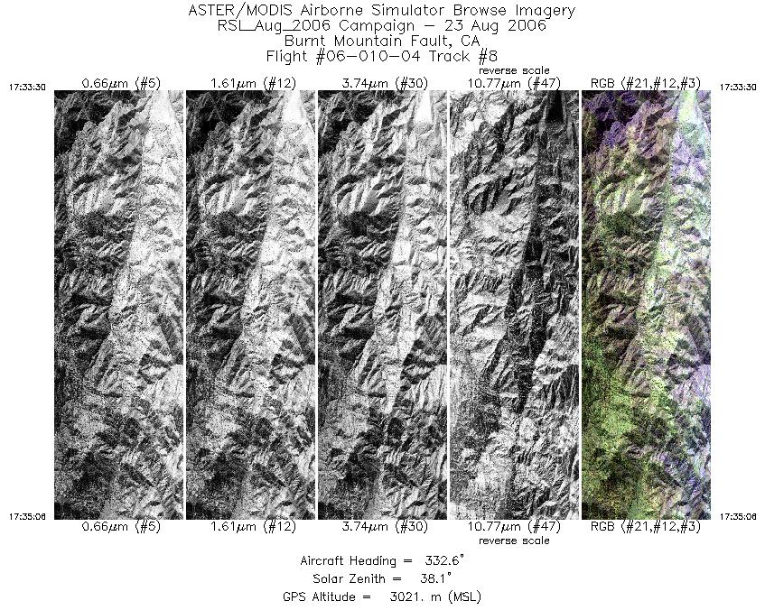
| 8 |
17:33 - 17:35 |
332.4 |
34.007 - 34.062 |
116.385 - 116.418 |
2384 |
3022 |
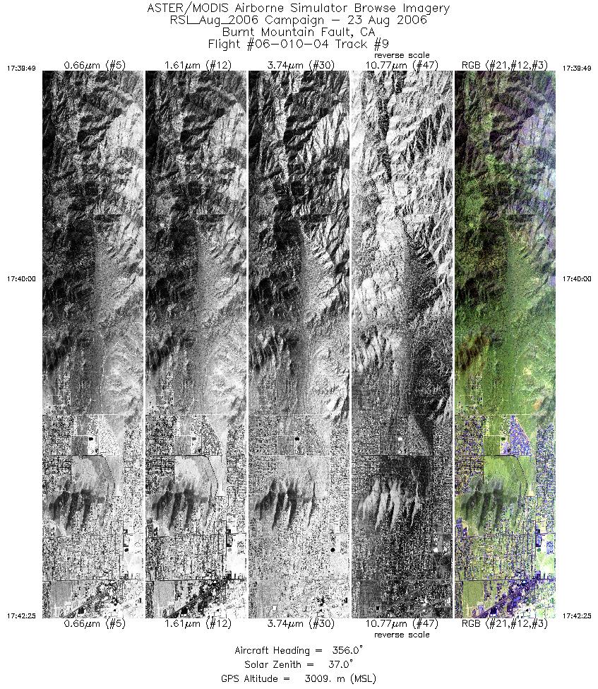
| 9 |
17:39 - 17:42 |
359.0 |
34.028 - 34.128 |
116.414 - 116.412 |
3876 |
3010 |
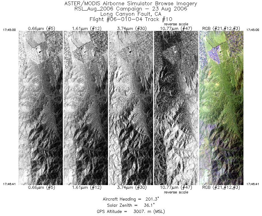
| 10 |
17:45 - 17:46 |
200.3 |
34.103 - 34.042 |
116.407 - 116.435 |
2497 |
3008 |
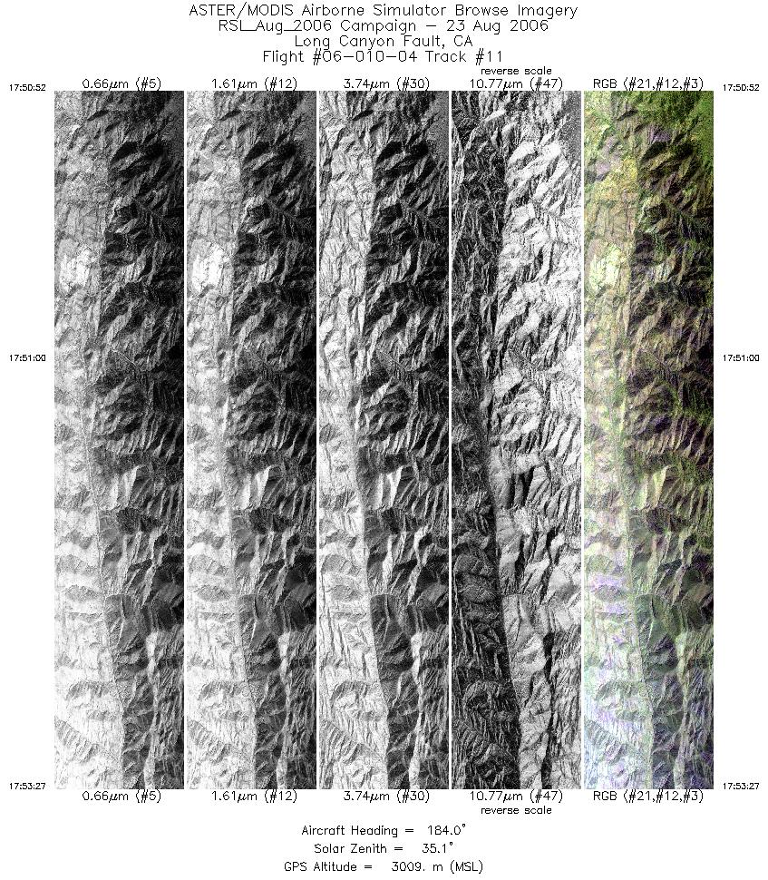
| 11 |
17:50 - 17:53 |
184.1 |
34.074 - 33.975 |
116.432 - 116.444 |
3852 |
3008 |
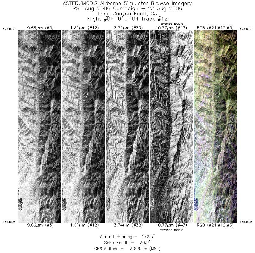
| 12 |
17:57 - 18:00 |
173.4 |
34.025 - 33.943 |
116.446 - 116.438 |
3203 |
3008 |
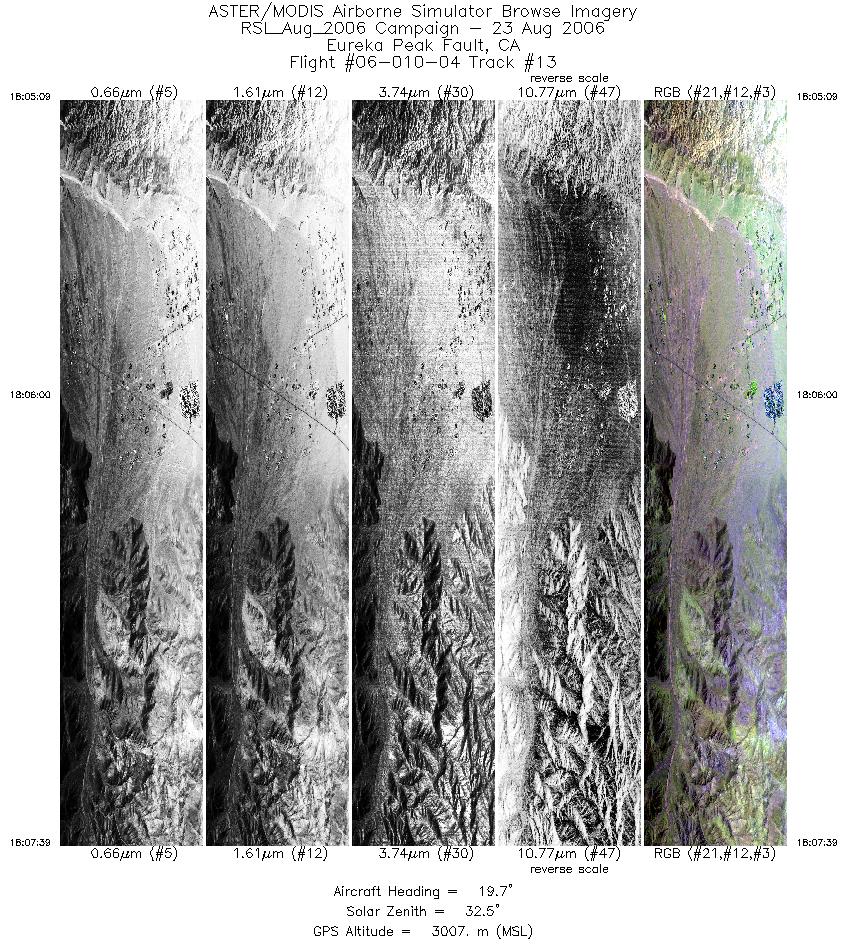
| 13 |
18:05 - 18:07 |
16.4 |
33.858 - 33.950 |
116.356 - 116.326 |
3730 |
3008 |
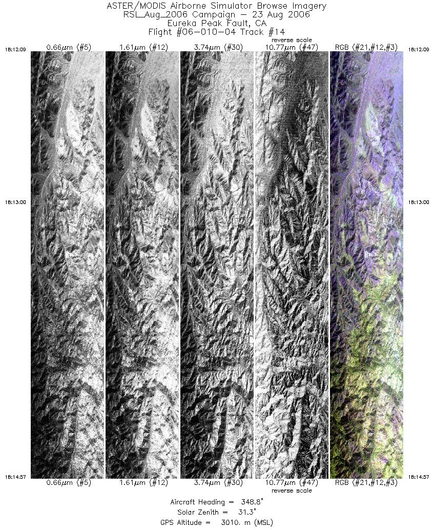
| 14 |
18:12 - 18:14 |
350.7 |
33.905 - 34.010 |
116.322 - 116.339 |
4170 |
3011 |
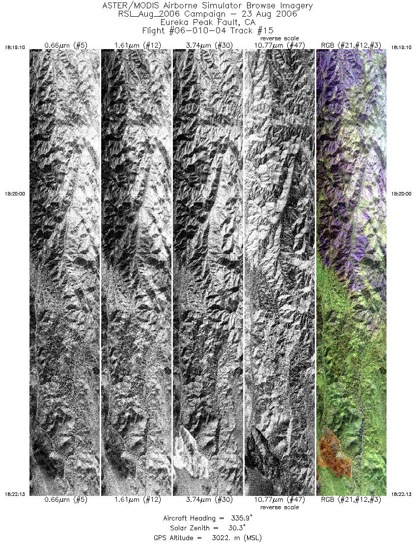
| 15 |
18:19 - 18:22 |
337.8 |
33.966 - 34.075 |
116.323 - 116.368 |
4553 |
3021 |
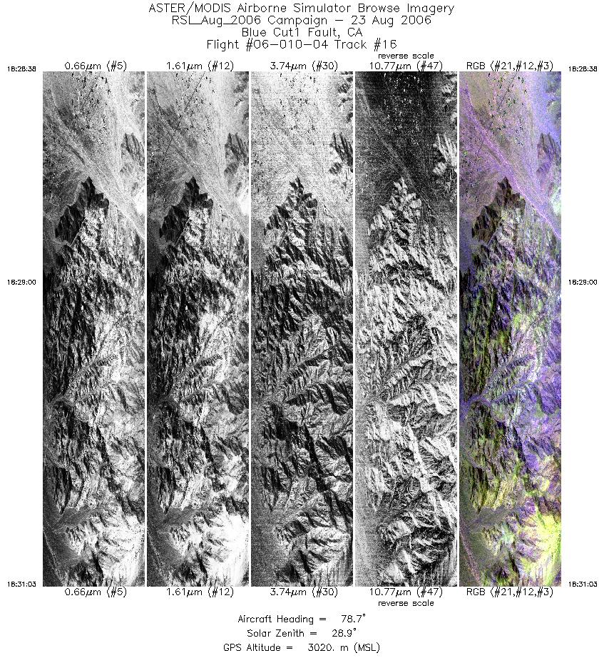
| 16 |
18:28 - 18:31 |
78.7 |
33.897 - 33.916 |
116.351 - 116.235 |
3614 |
3020 |
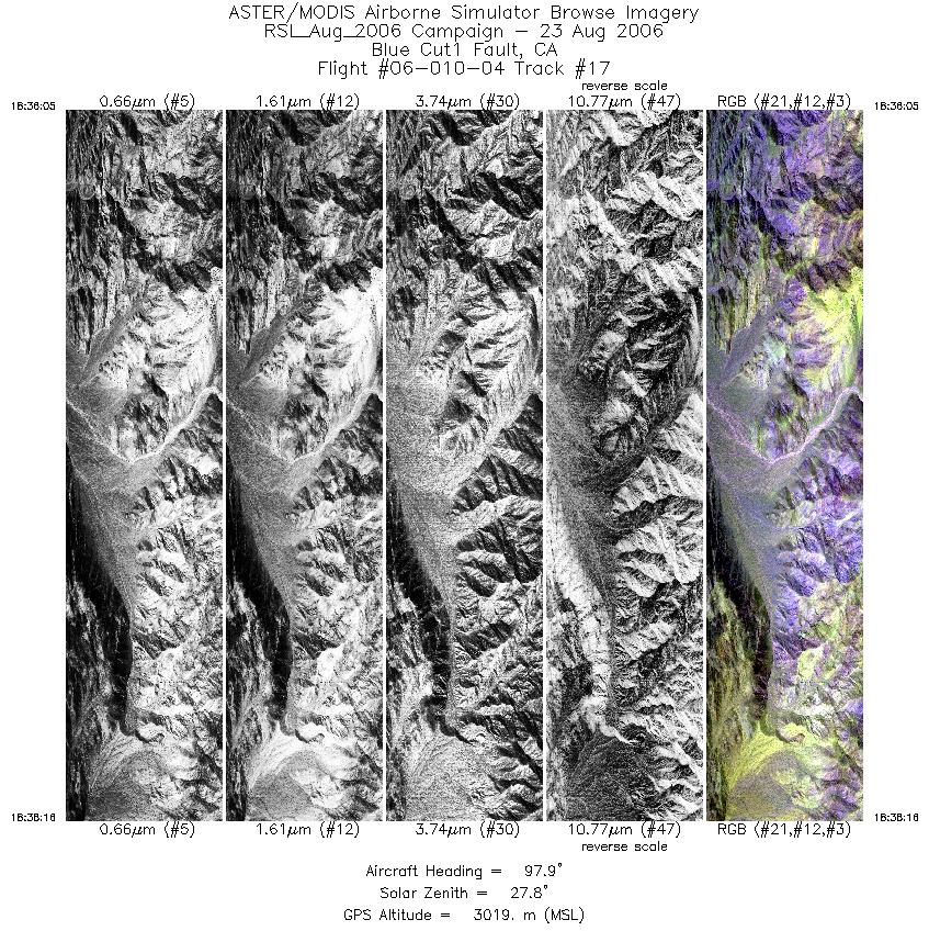
| 17 |
18:36 - 18:38 |
99.6 |
33.920 - 33.904 |
116.282 - 116.176 |
3244 |
3019 |
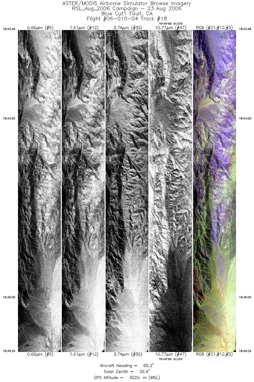
| 18 |
18:42 - 18:46 |
86.1 |
33.904 - 33.909 |
116.226 - 116.055 |
5369 |
3018 |
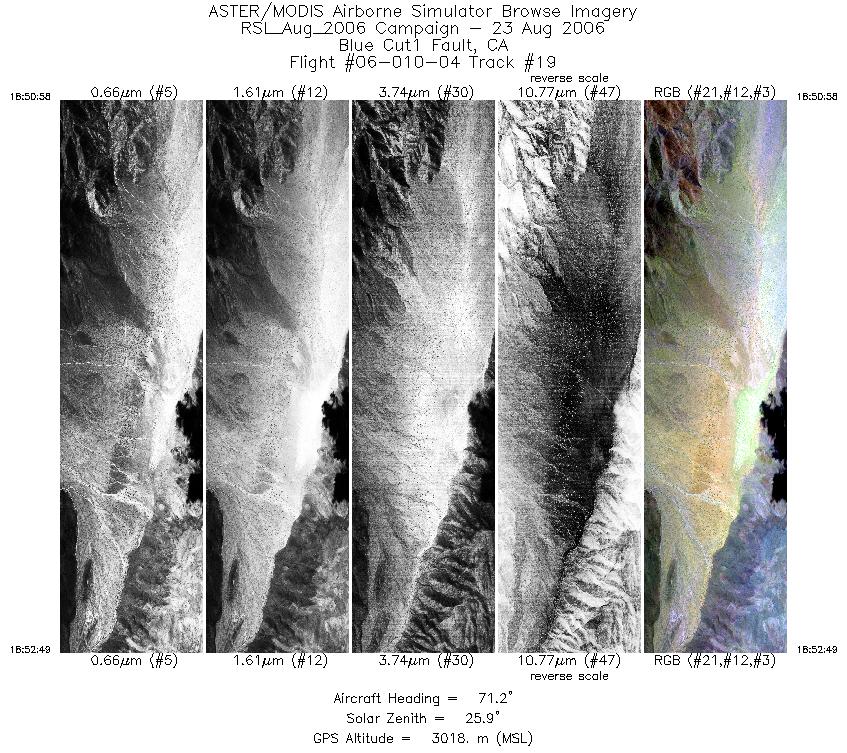
| 19 |
18:50 - 18:52 |
72.4 |
33.901 - 33.923 |
116.099 - 116.013 |
2768 |
3019 |
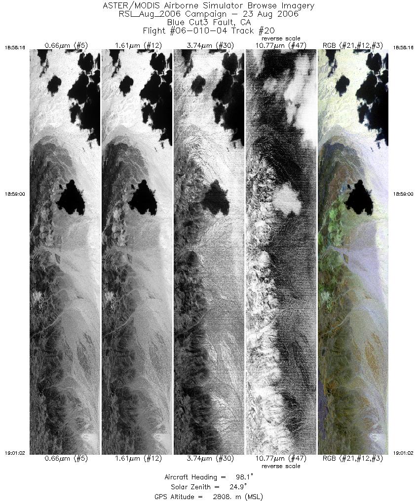
| 20 |
18:58 - 19:01 |
97.2 |
33.928 - 33.910 |
115.698 - 115.534 |
4117 |
2805 |
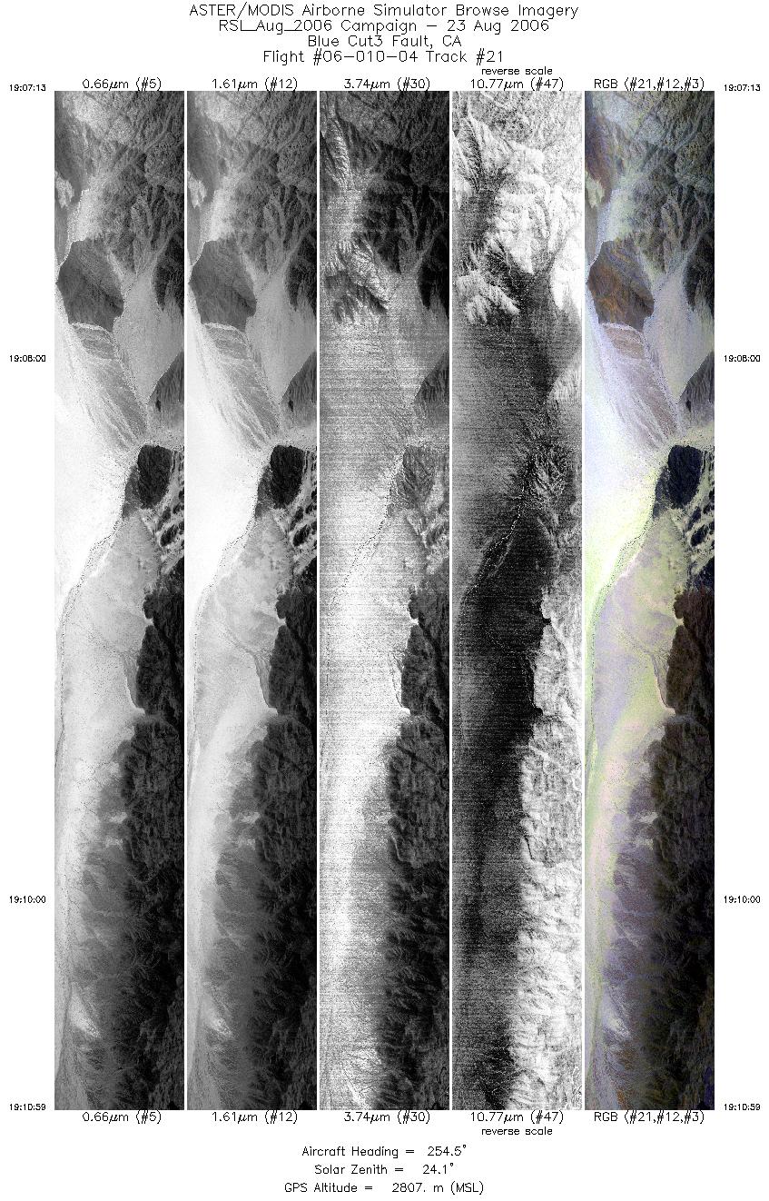
| 21 |
19:07 - 19:10 |
254.9 |
33.955 - 33.909 |
115.337 - 115.558 |
5613 |
2809 |
|


