


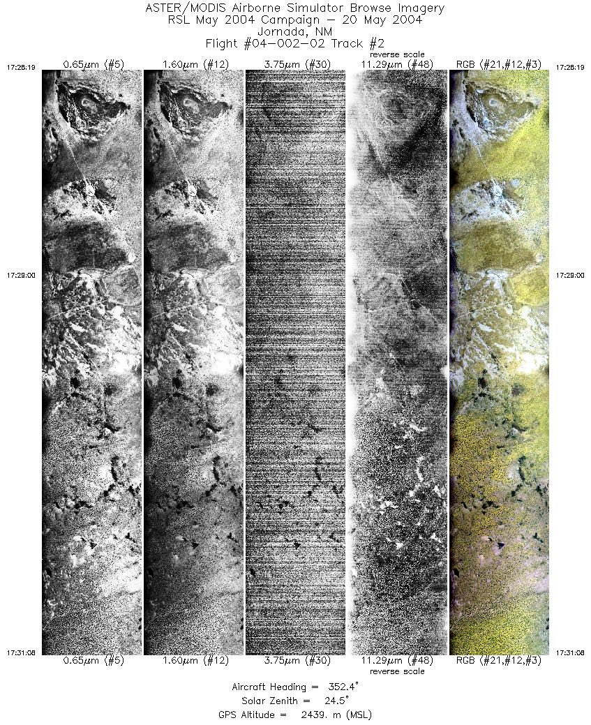
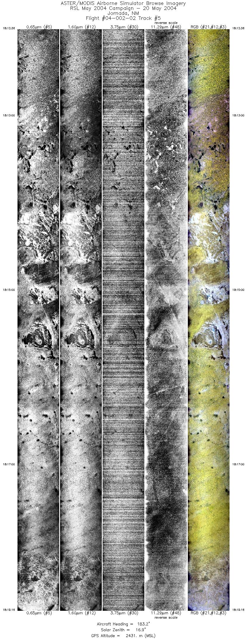
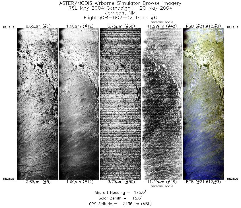
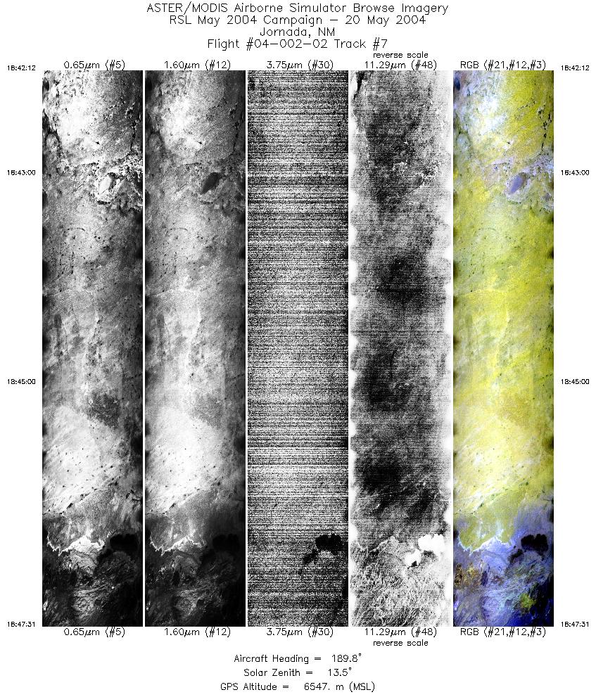
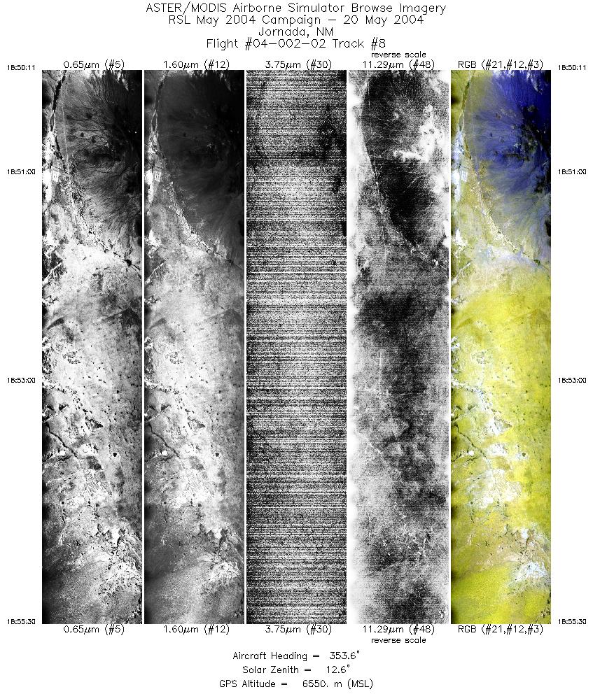
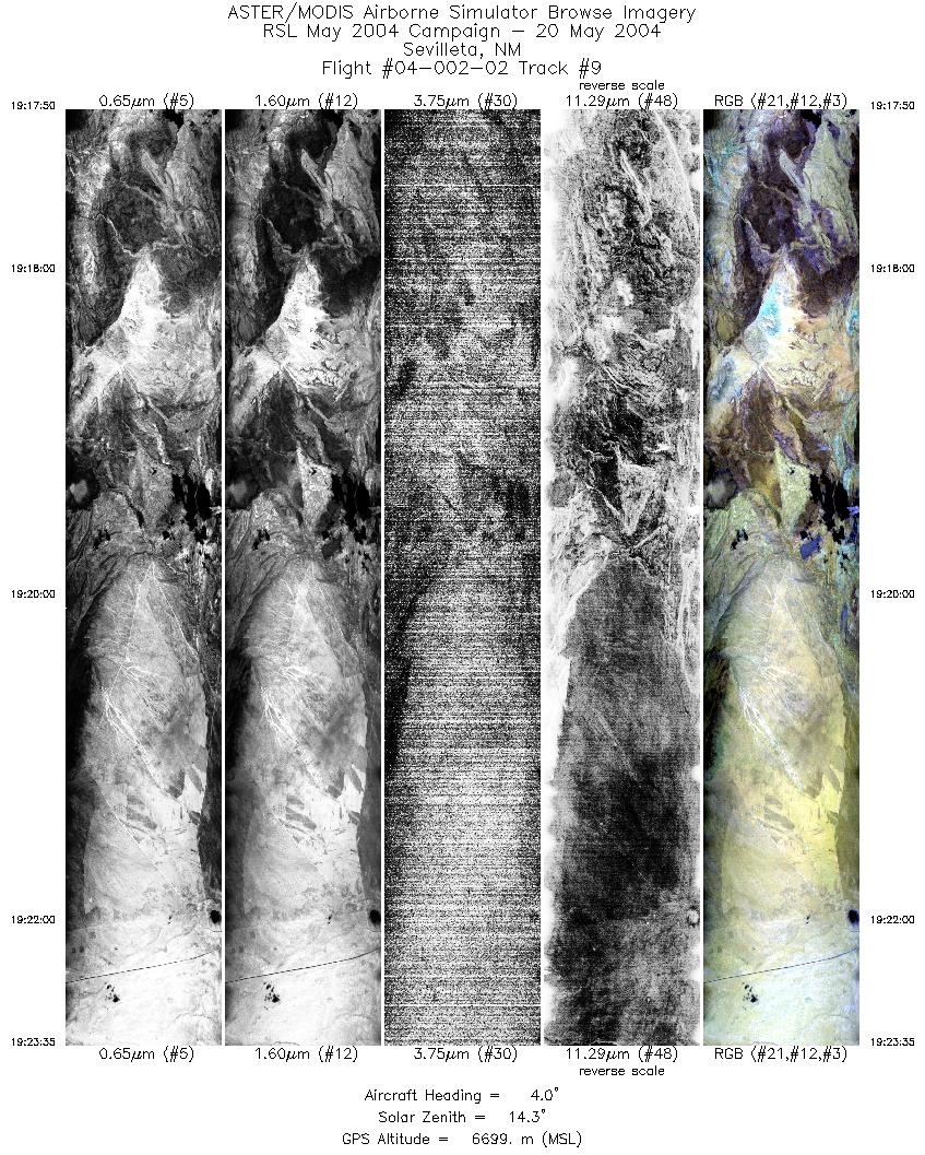
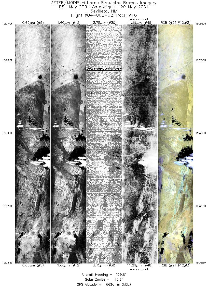
FLIGHT SUMMARY INFORMATION
Flight Track Map


|
Flight: 04-002-02 Date: May 20, 2004 Aircraft: DOE B200, #798 Deployment: RSL May 2004 Flight Location: Jornada, Sevilleta; NM Principal Investigator: Schmugge (USDA) Additional Sensors: |
||||||||||||||||||||||||||||||||||||||||||||||||||||||||||||||||||||||||||||||||||||||||||||||||||
|
Data Evaluation Weather: Clear to partly cloudy; wind was gusting & variable, pilot had trouble maintaining track and ground speed Haze: Light to moderate Turbulence: Heavy to very heavy at low altitudes; moderate to heavy at high altitudes Data quality is good. Lines were flown at 12.5 scans per second, Band 50 data is useless (heavy coherent noise) |
||||||||||||||||||||||||||||||||||||||||||||||||||||||||||||||||||||||||||||||||||||||||||||||||||
|
Processing Information Level-1B Data in HDF format is available Flight Line Summary Spectral Band Configuration Spectral Response Function Table Spectral Response Function (text) |
||||||||||||||||||||||||||||||||||||||||||||||||||||||||||||||||||||||||||||||||||||||||||||||||||
|
Browse Imagery Flight Tracks: 10 Scanlines: 63238 |
||||||||||||||||||||||||||||||||||||||||||||||||||||||||||||||||||||||||||||||||||||||||||||||||||
|
||||||||||||||||||||||||||||||||||||||||||||||||||||||||||||||||||||||||||||||||||||||||||||||||||


