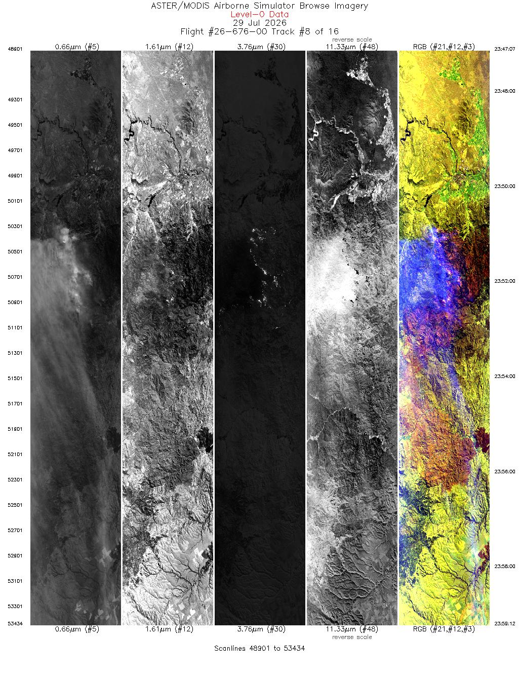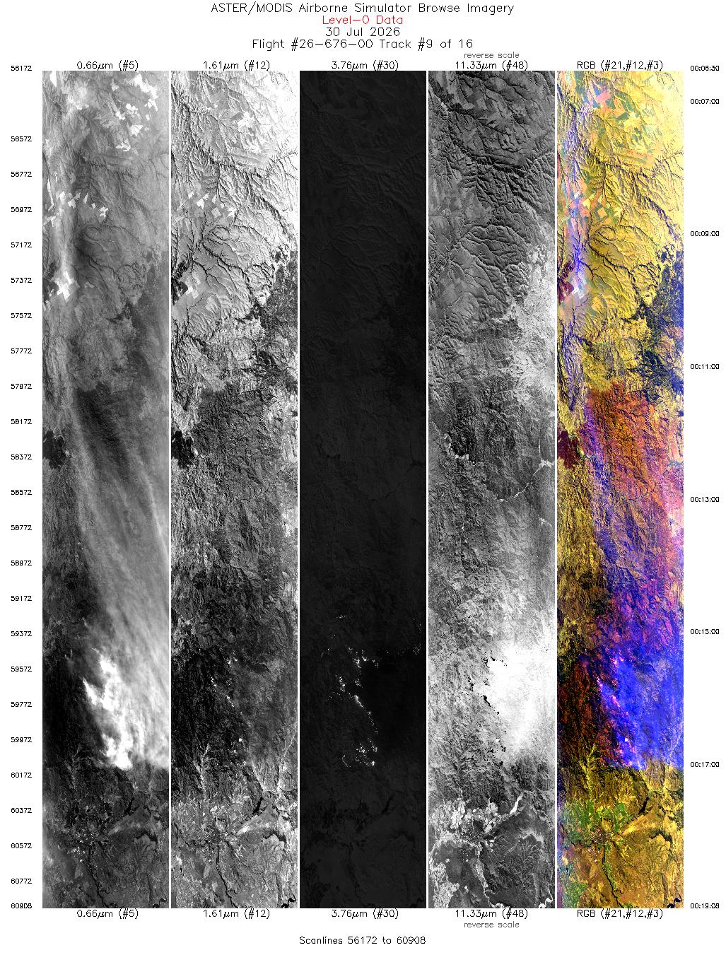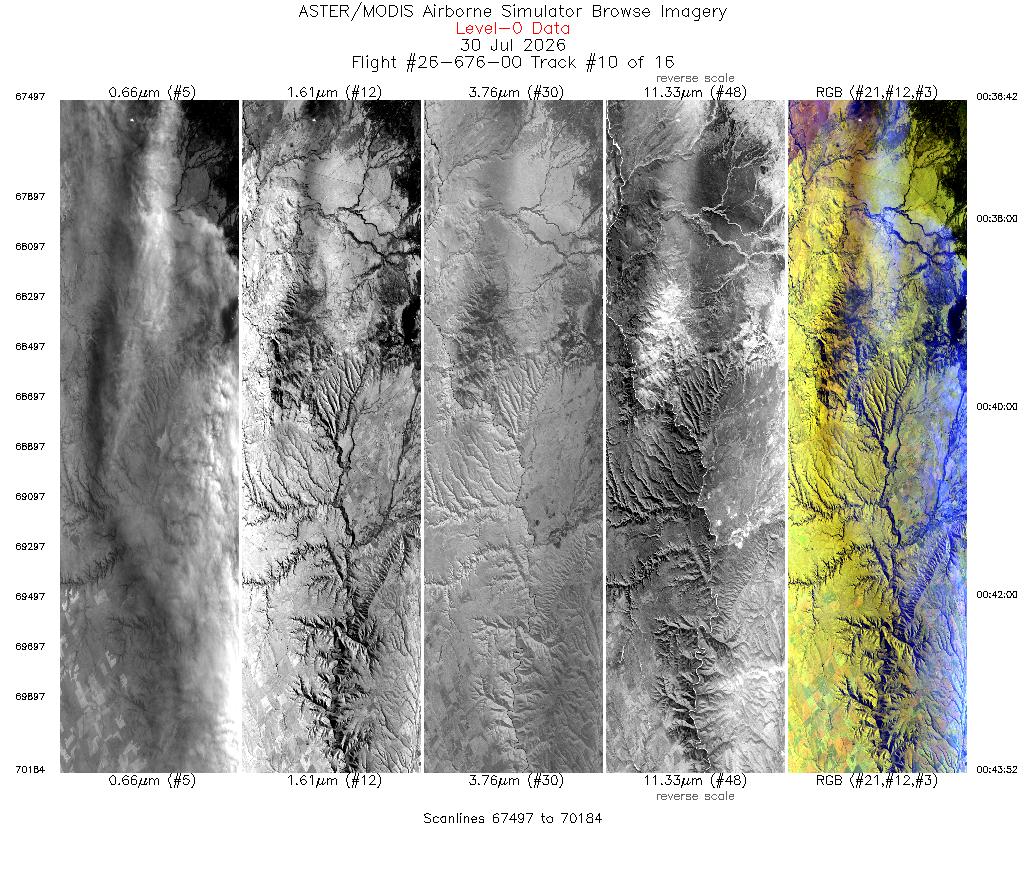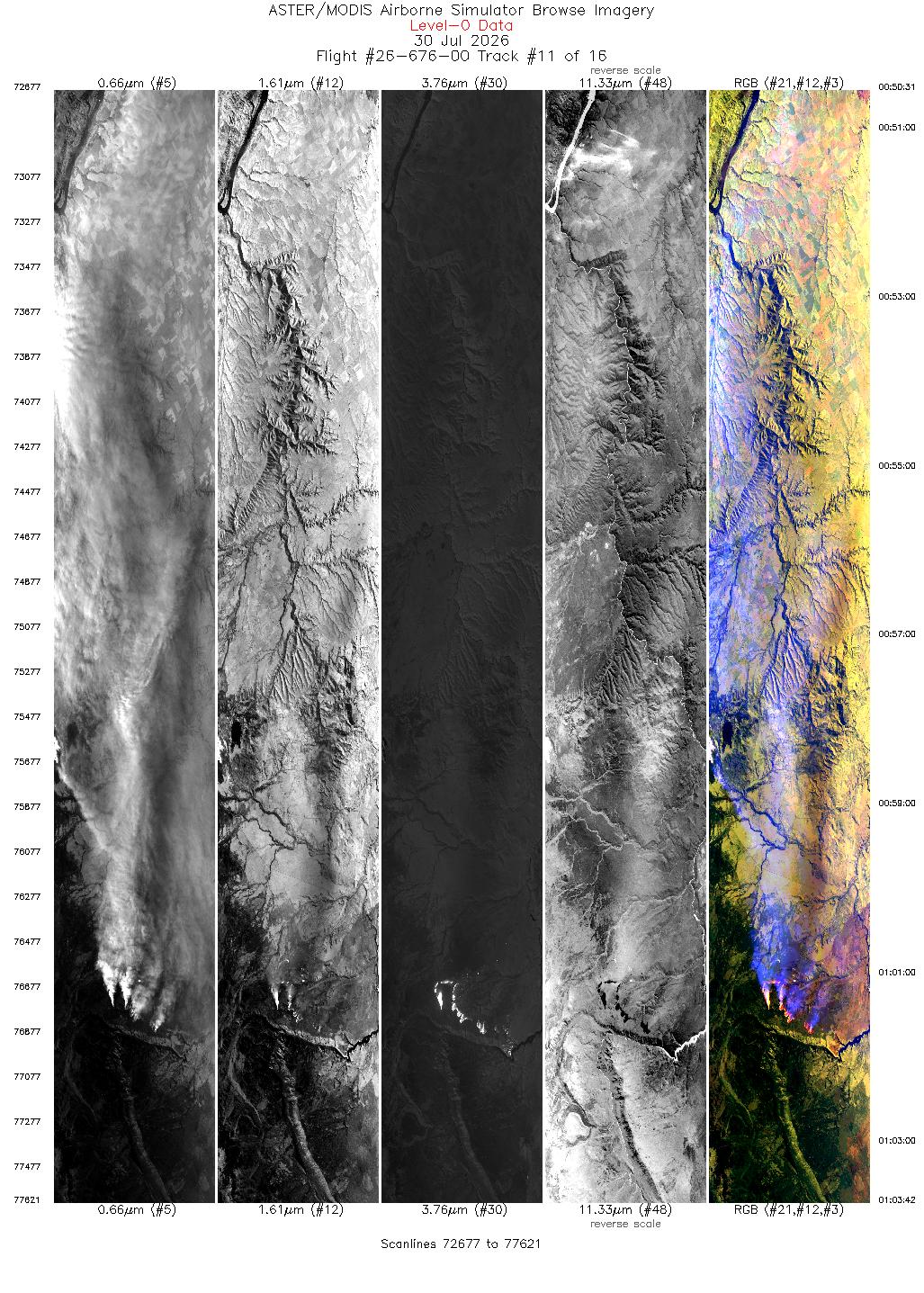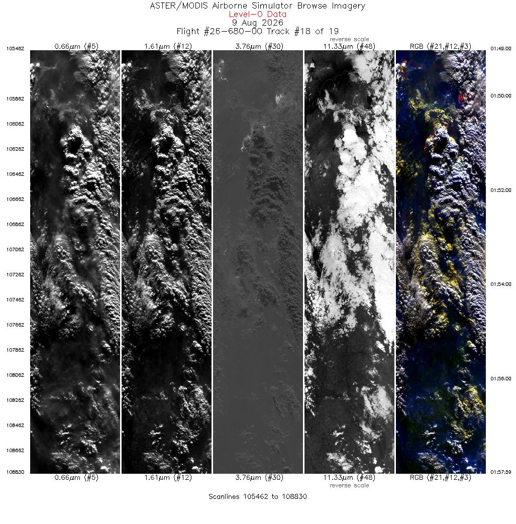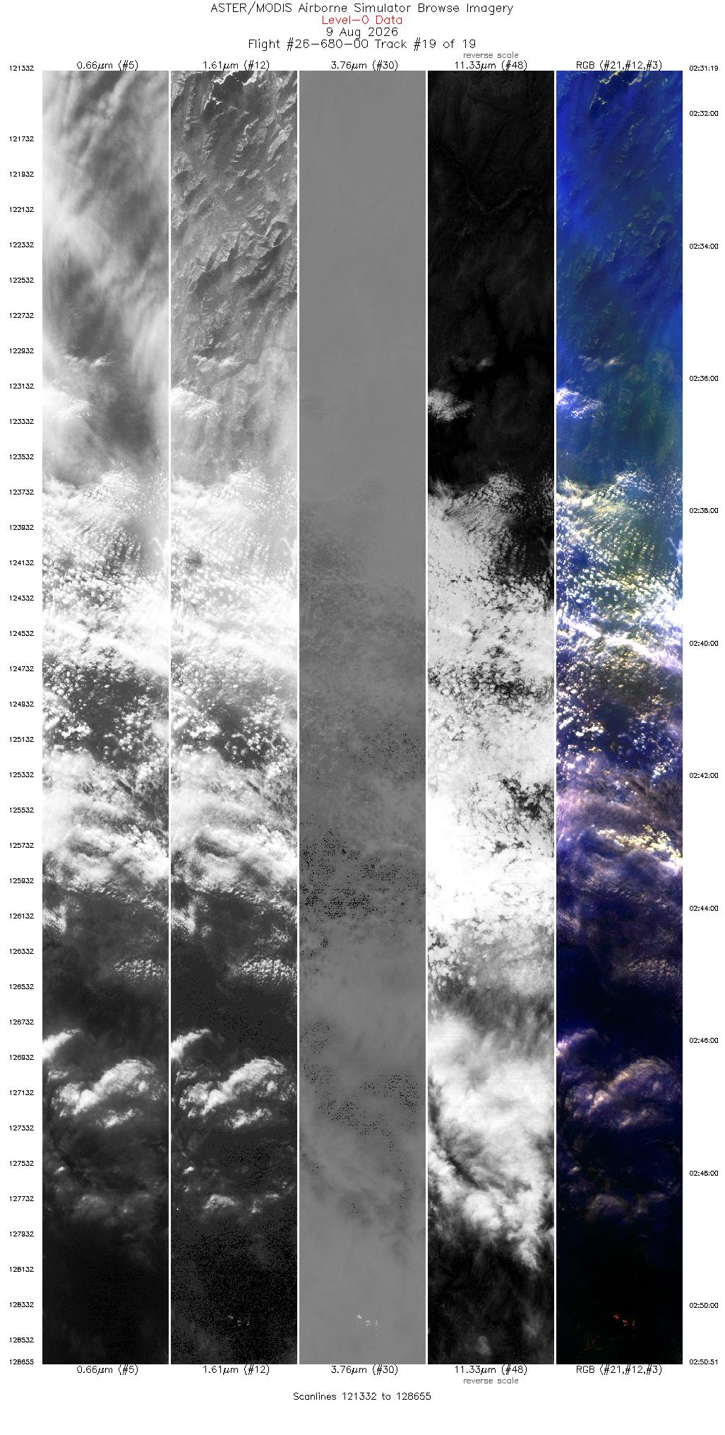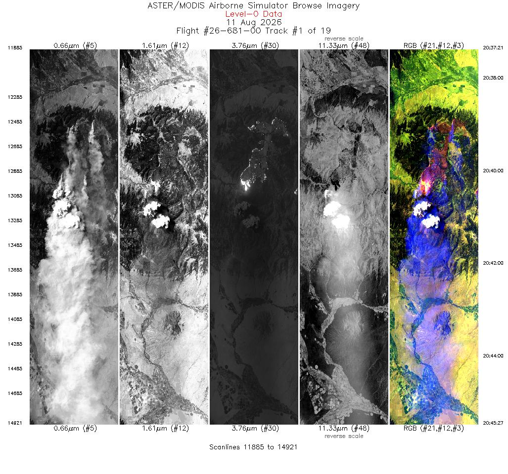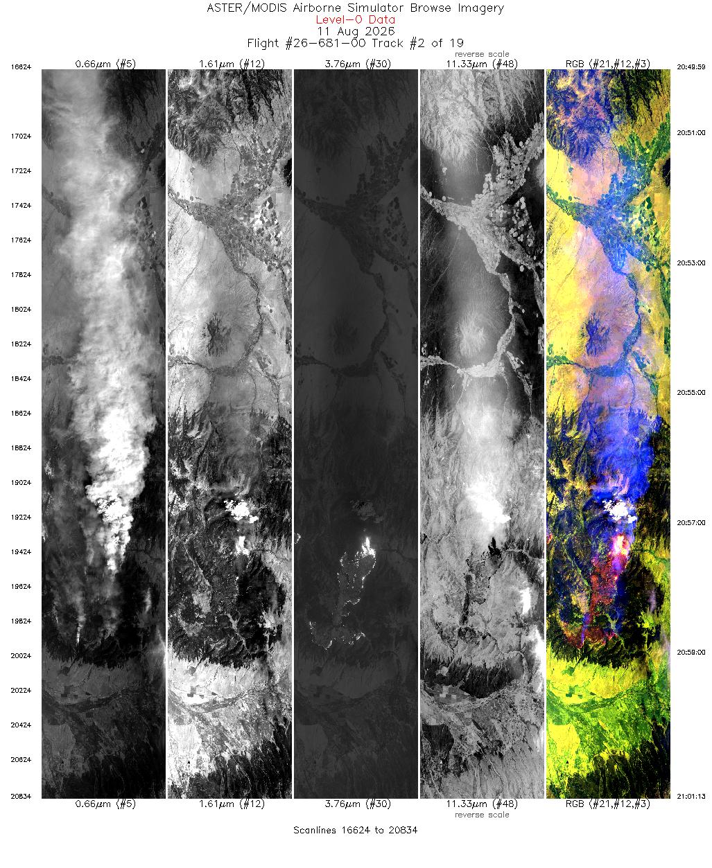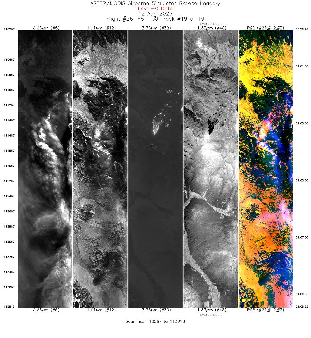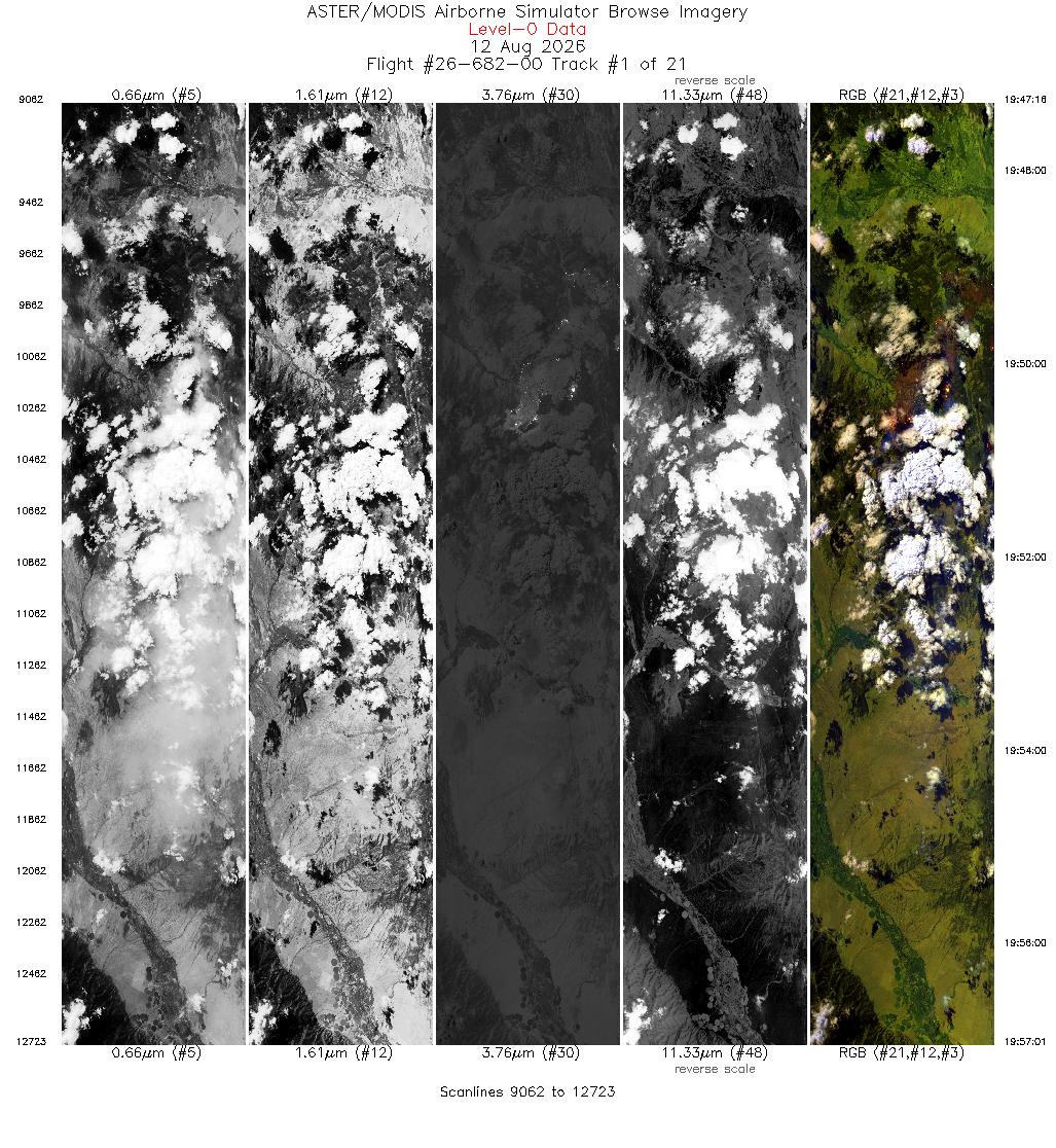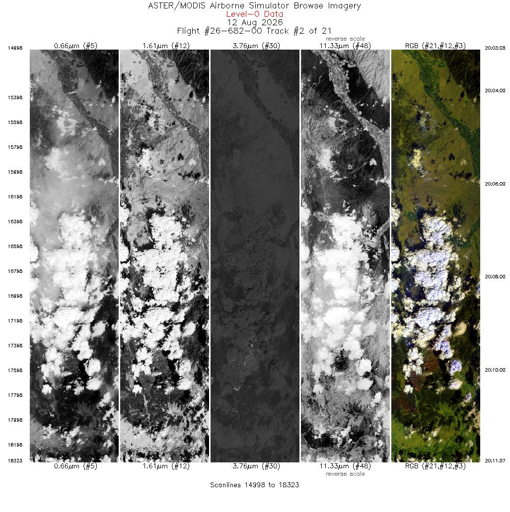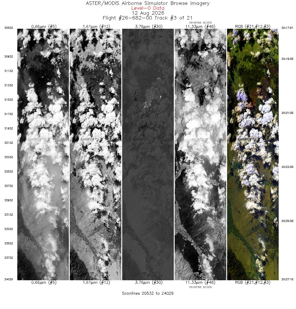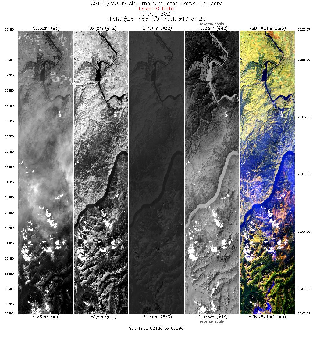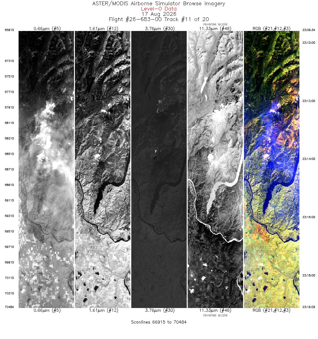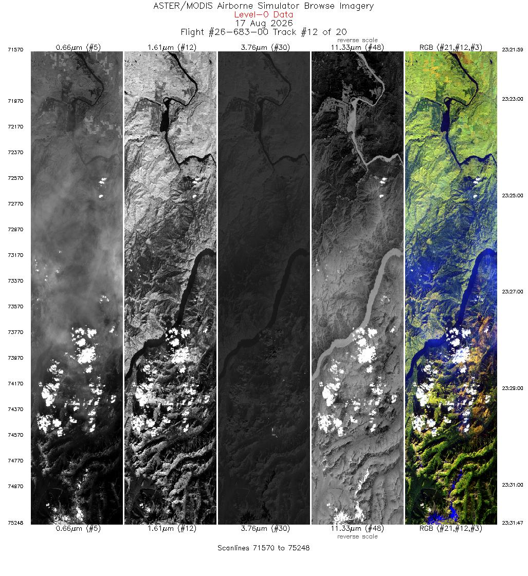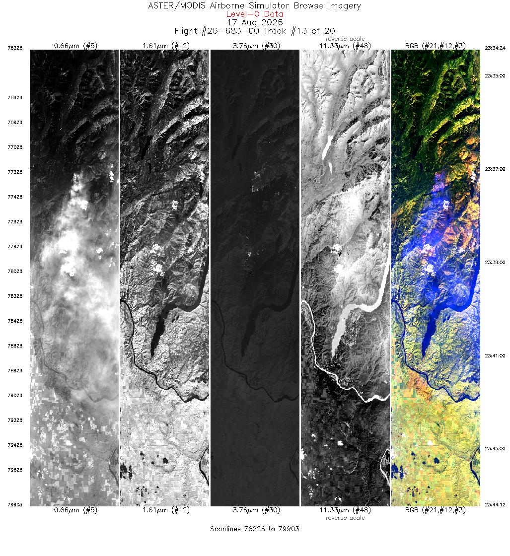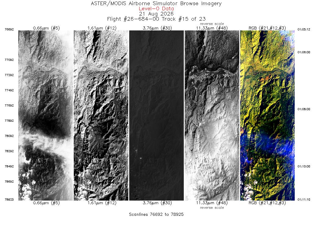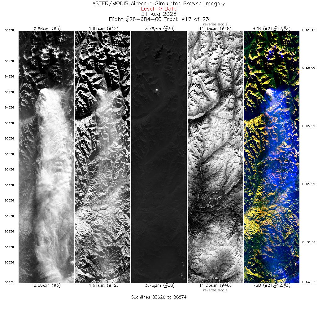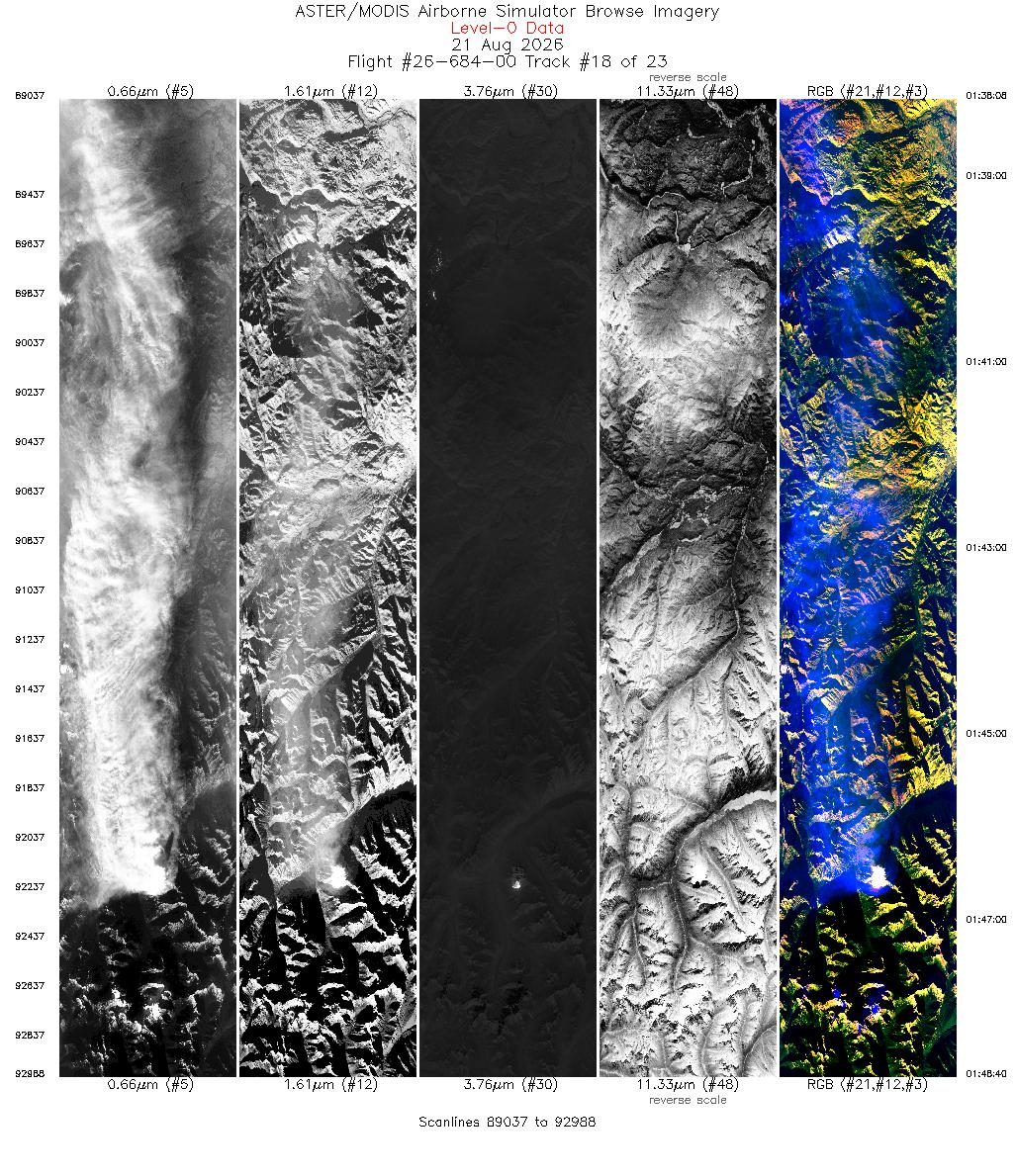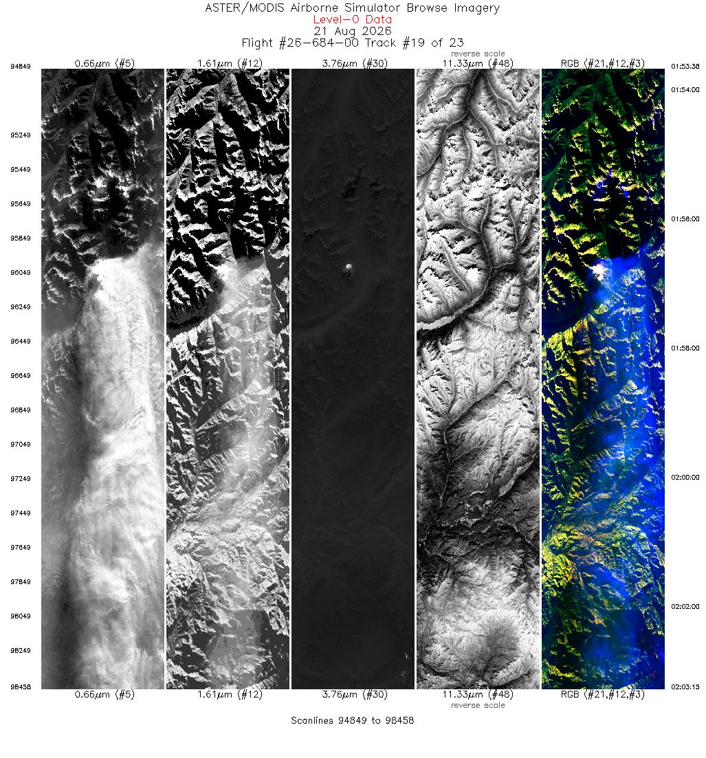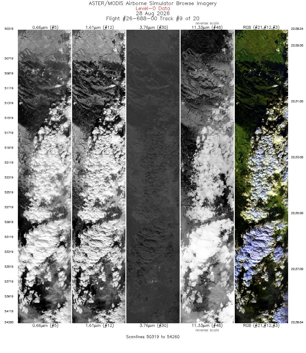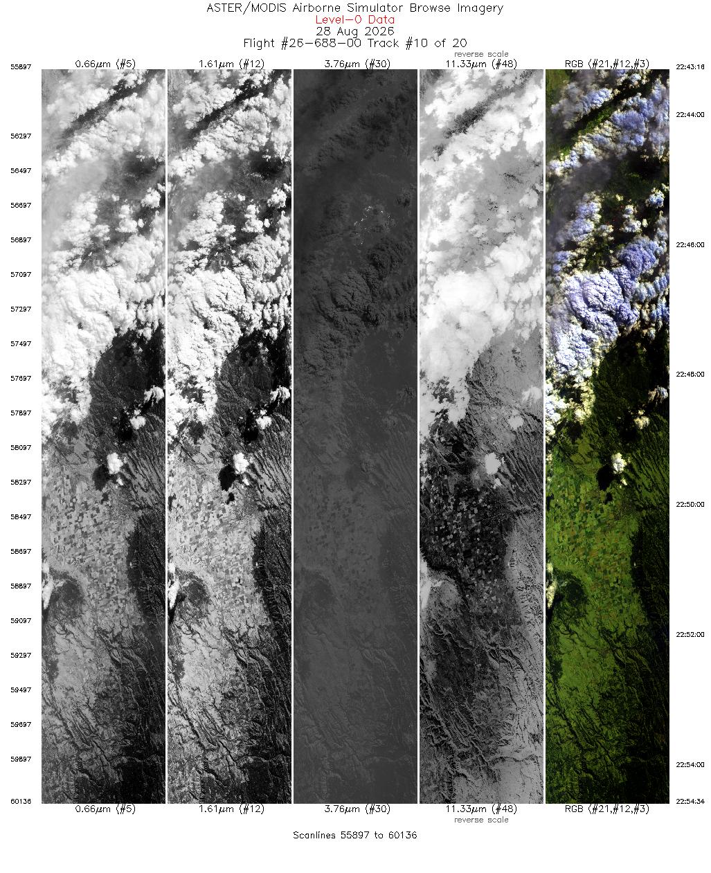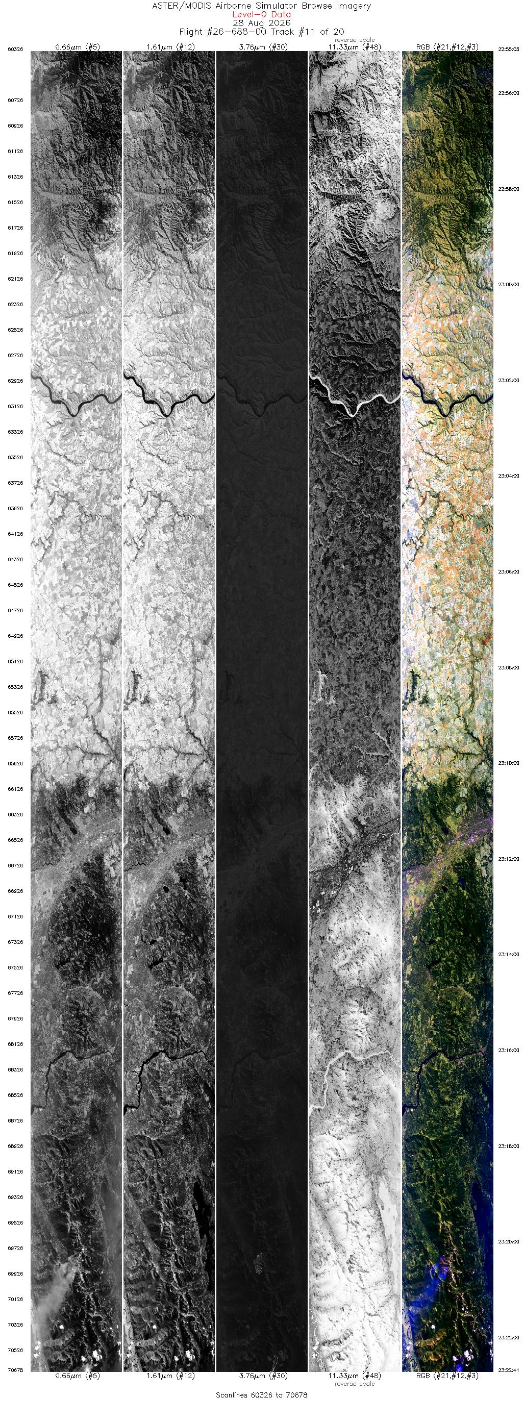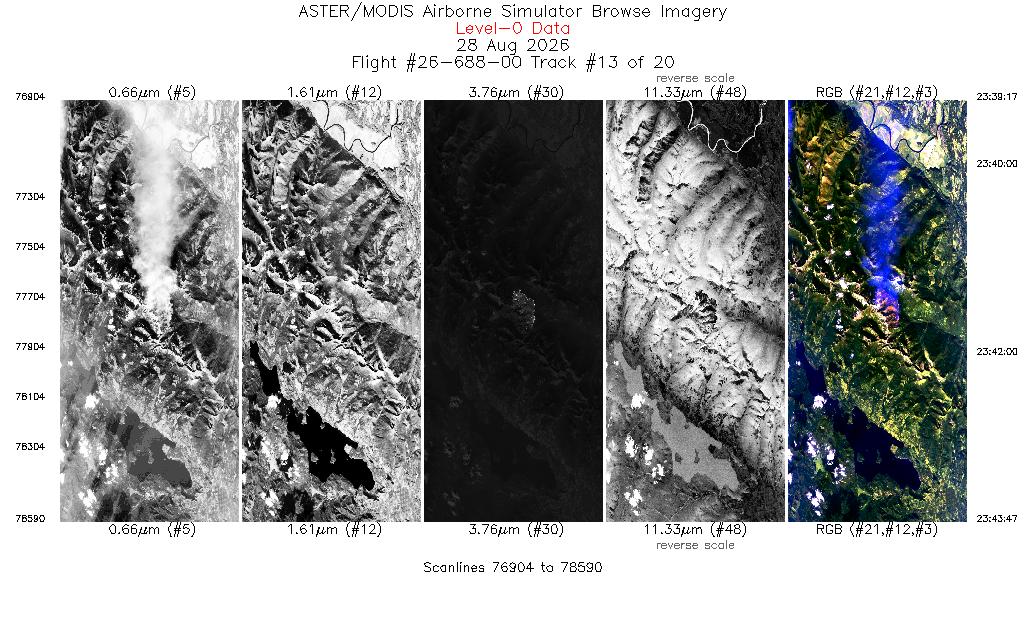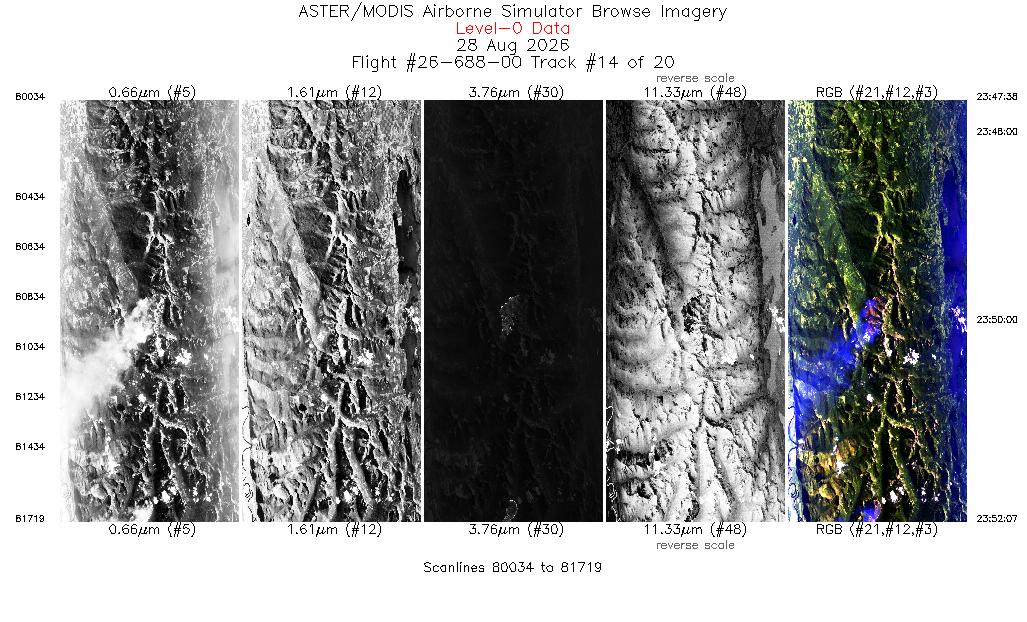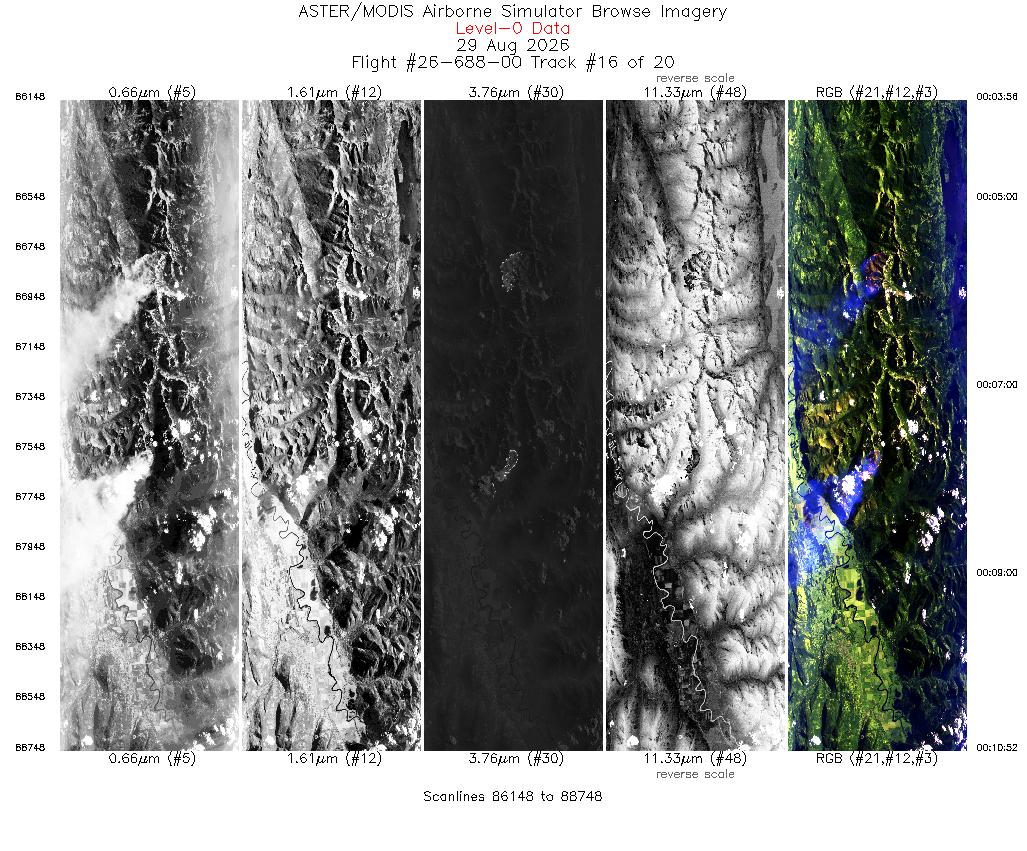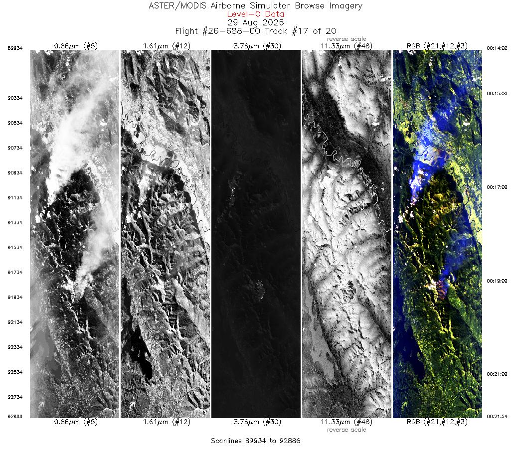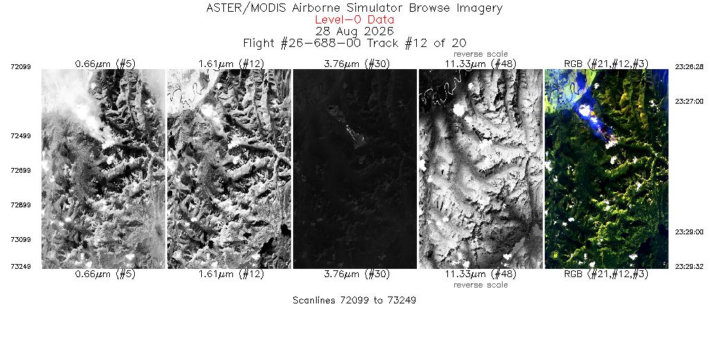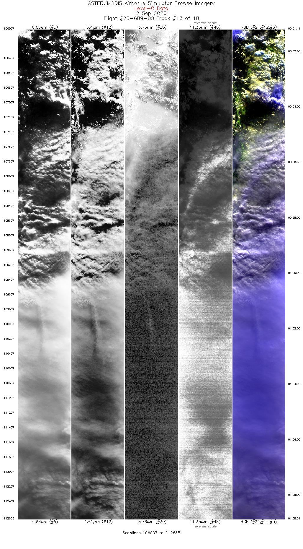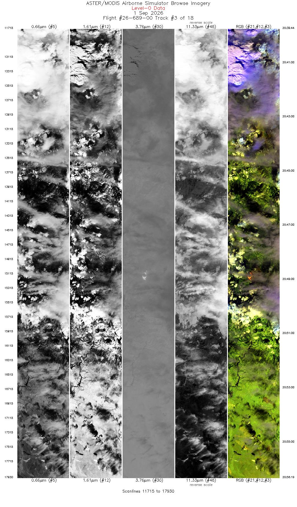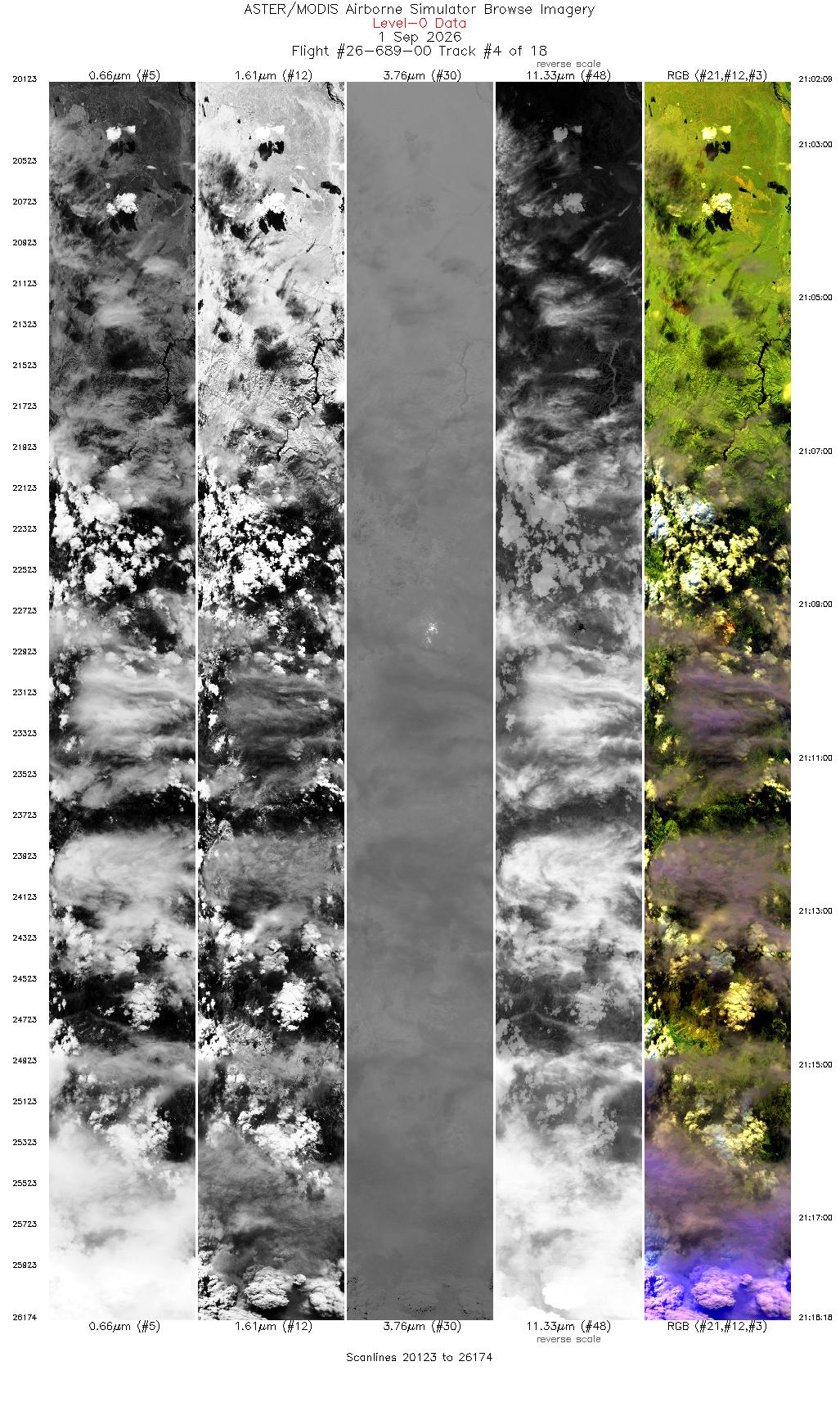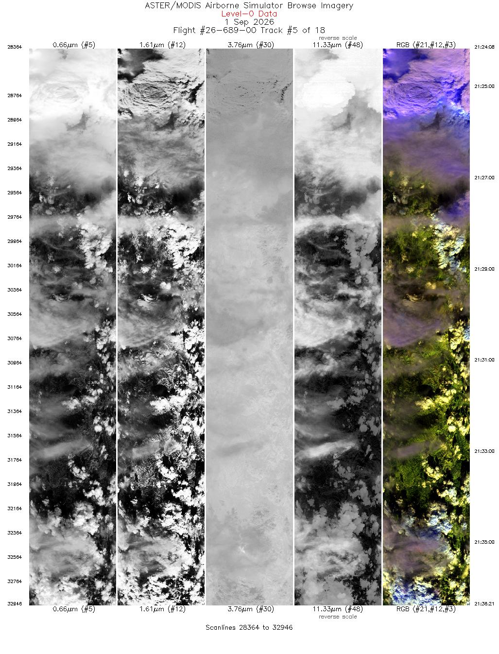










CAMPAIGN SUMMARY INFORMATION

|
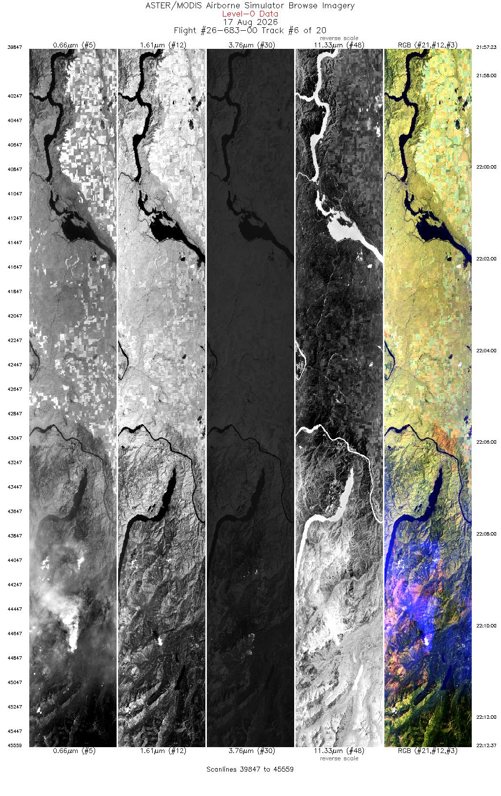
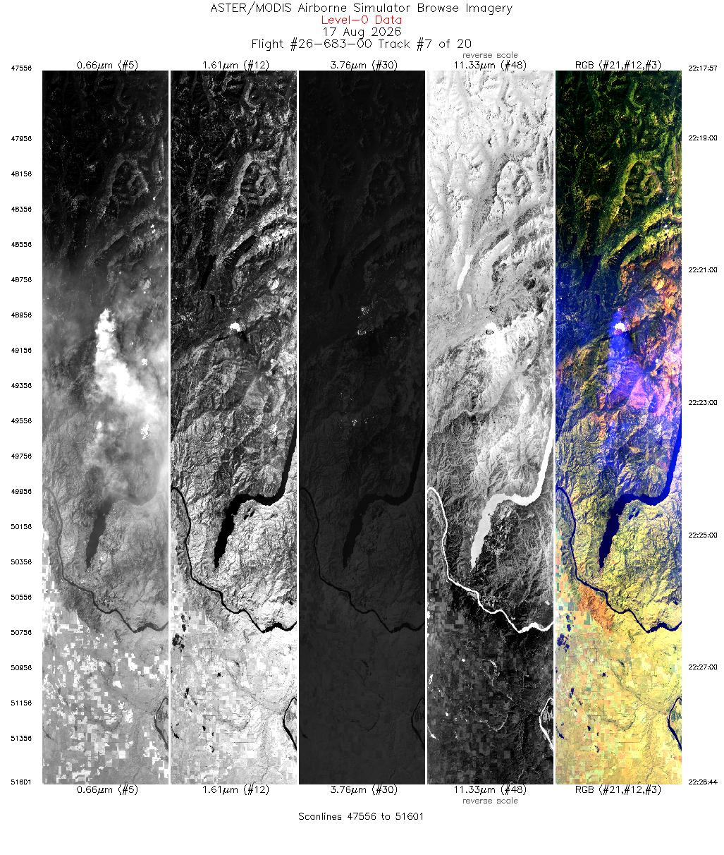
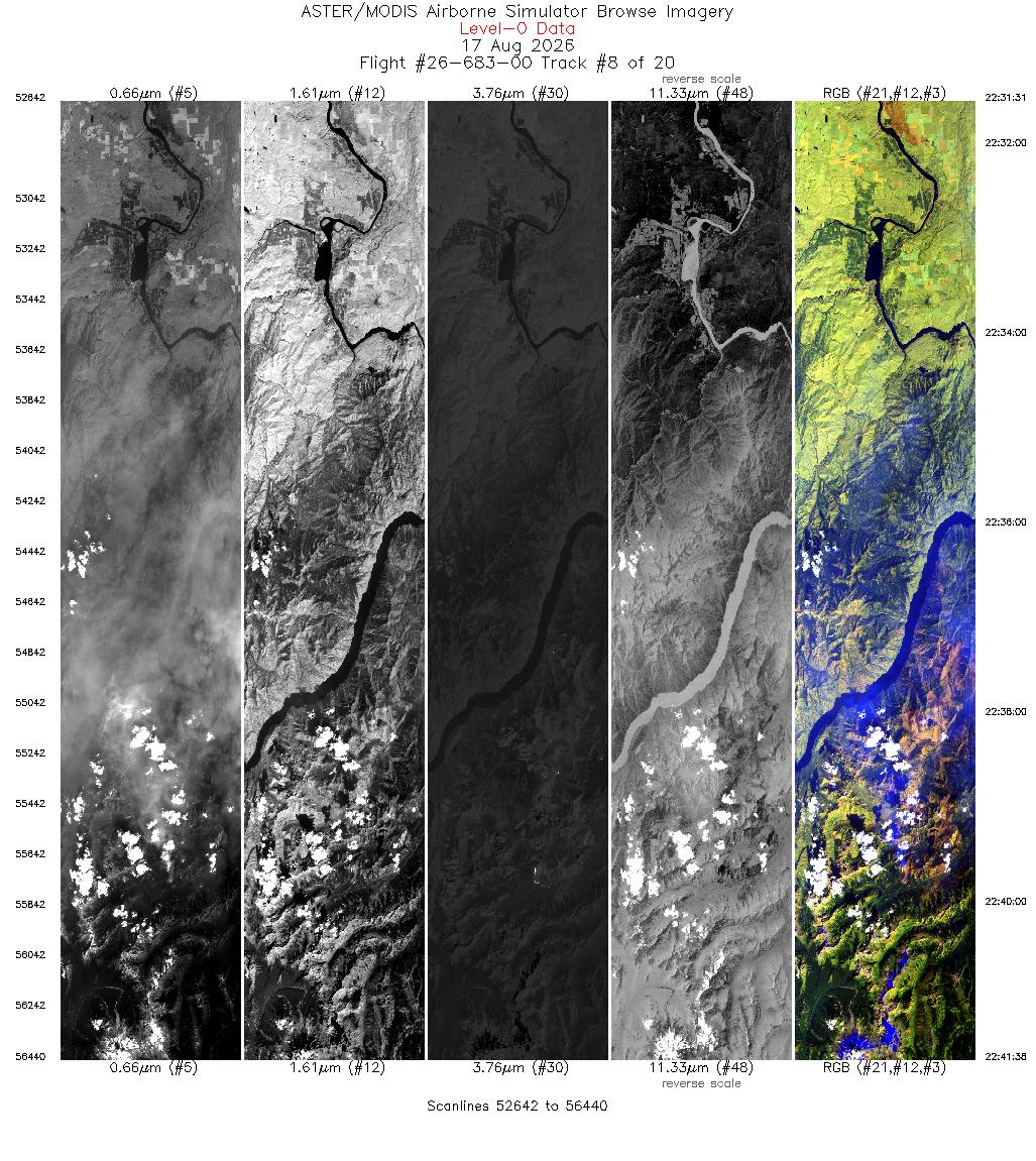
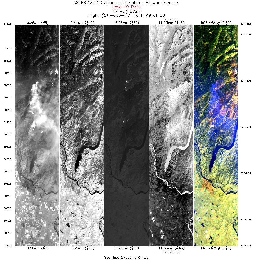
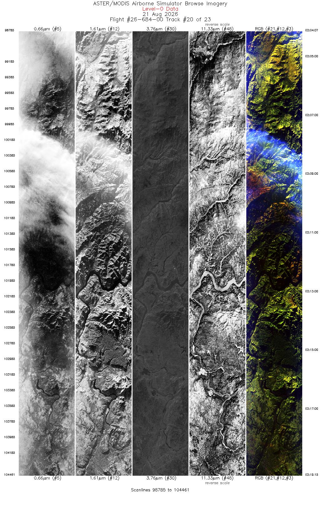
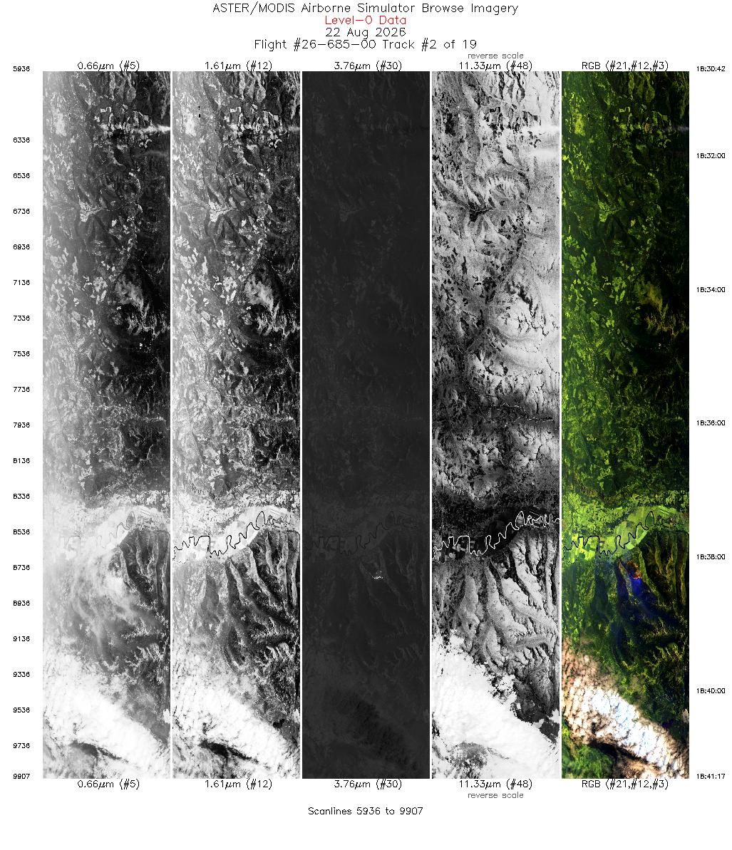
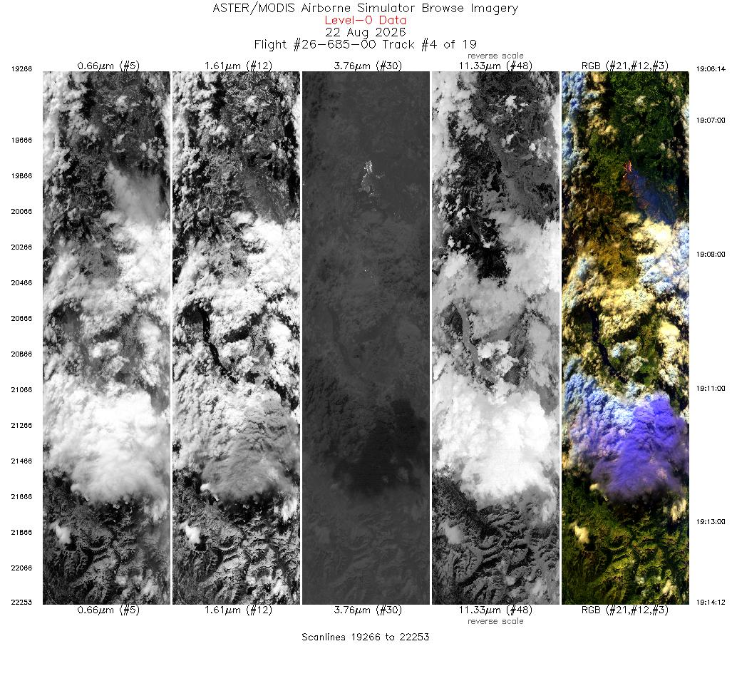
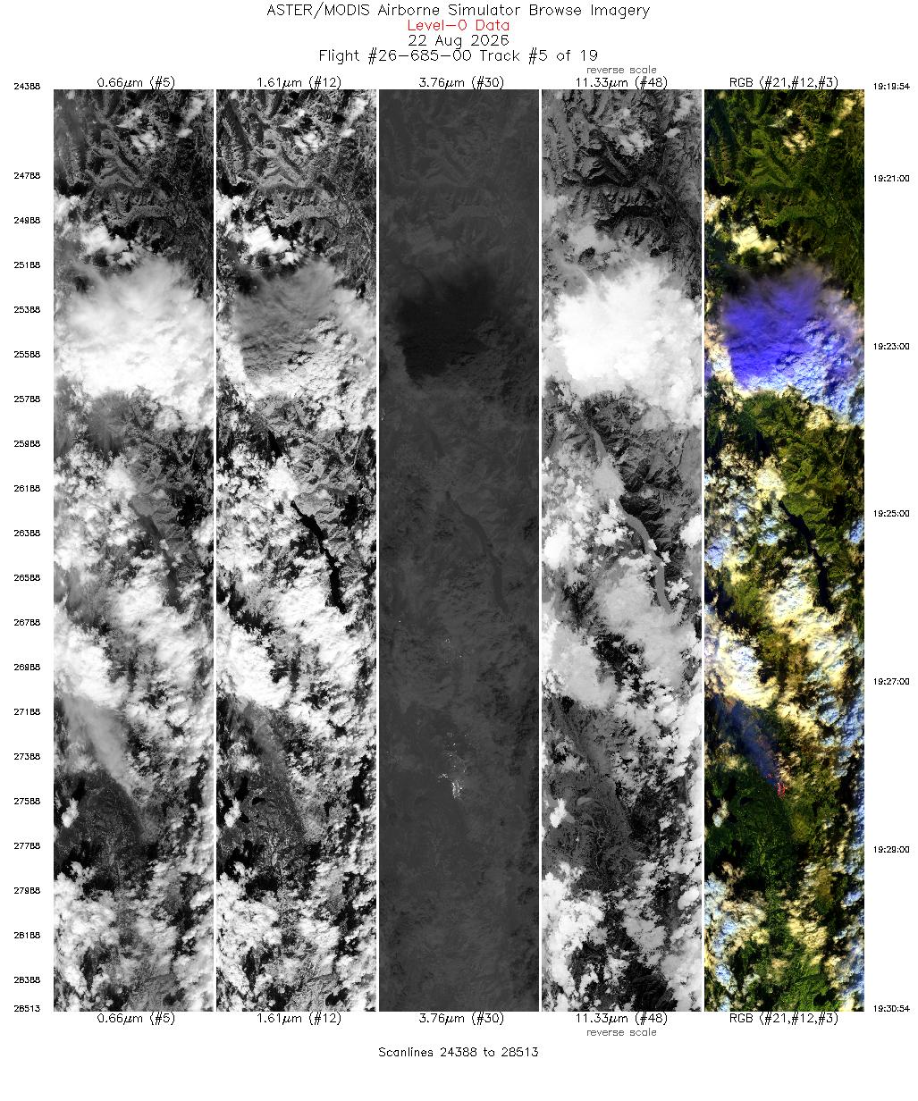
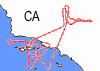
INSPYRE Dates: 15 July - 08 September, 2026 Location: Western USA / Canada Principal Investigators: Peterson (NRL) / Lareau (UNR) / Kalashnikova (JPL) Aircraft: NASA 806 ER-2 (Armstrong Flight Research Center) Additional Sensors: AirHARP-2/BBR/CPL/CRS/EXRAD/iSTORM/LIP/Mavo Edge/MVIS Objective: The INjected Smoke and PYRocumulonimbus Experiment (INSPYRE) Science Team will constrain the role of pyrocumulonimbus (pyroCb) in the earth system and characterize their physical links to extreme wildfire behavior. Increasing wildfire size and intensity will amplify pyroCb-driven smoke injection into the stratosphere and induce measurable changes to Earth's radiative balance. |
|||||||||||||||||||||||||||||||||||||||||||||||||||||||||||||
|
Processing Information Flights Processed: 19 Total Flight Tracks: 290 Total Scanlines: 1,152,451 Status: Campaign Complete, Level-1B processing underway. |
|||||||||||||||||||||||||||||||||||||||||||||||||||||||||||||
|
Related Web Sites INSPYRE Home Page NASA Airborne Science Program |
|||||||||||||||||||||||||||||||||||||||||||||||||||||||||||||
|
|||||||||||||||||||||||||||||||||||||||||||||||||||||||||||||
|
|||||||||||||||||||||||||||||||||||||||||||||||||||||||||||||
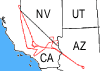
 Flight: 26-673-00
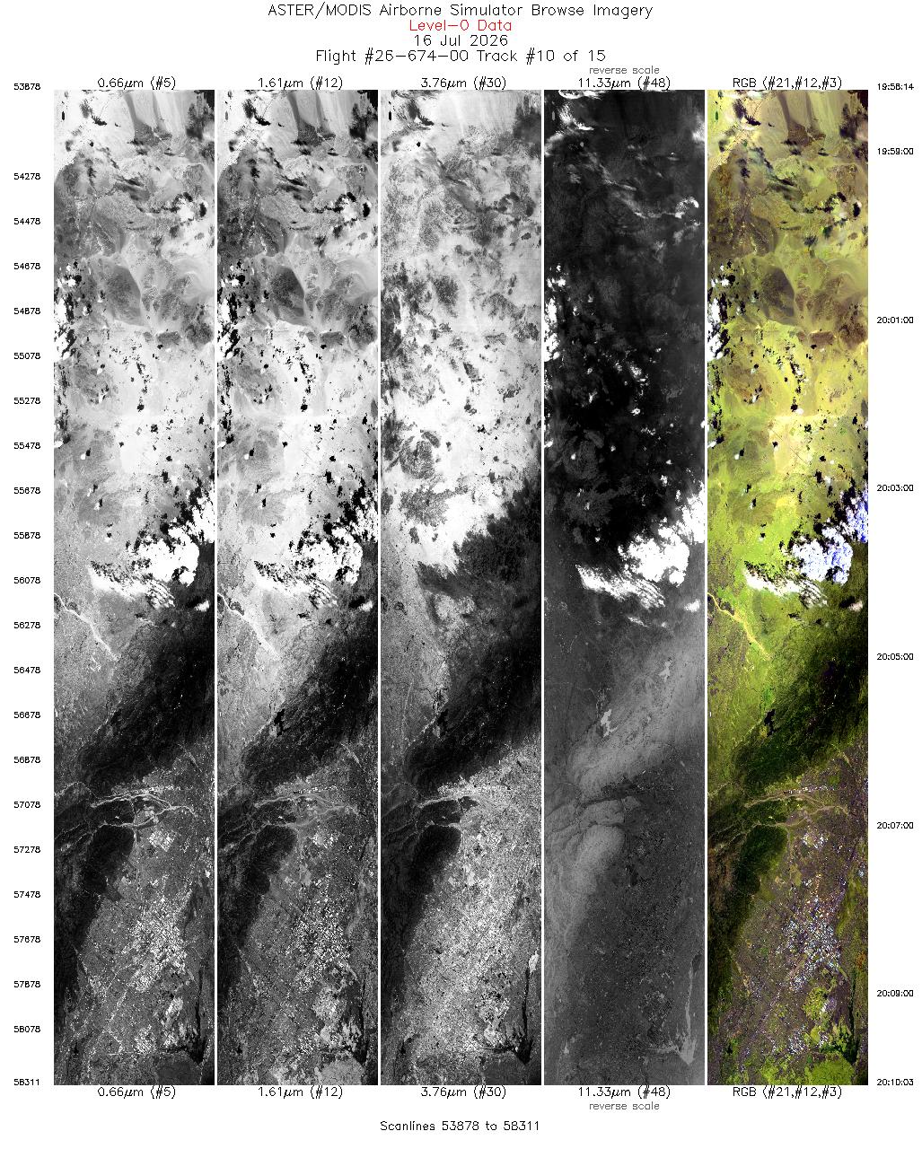
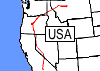
 Flight: 26-674-00
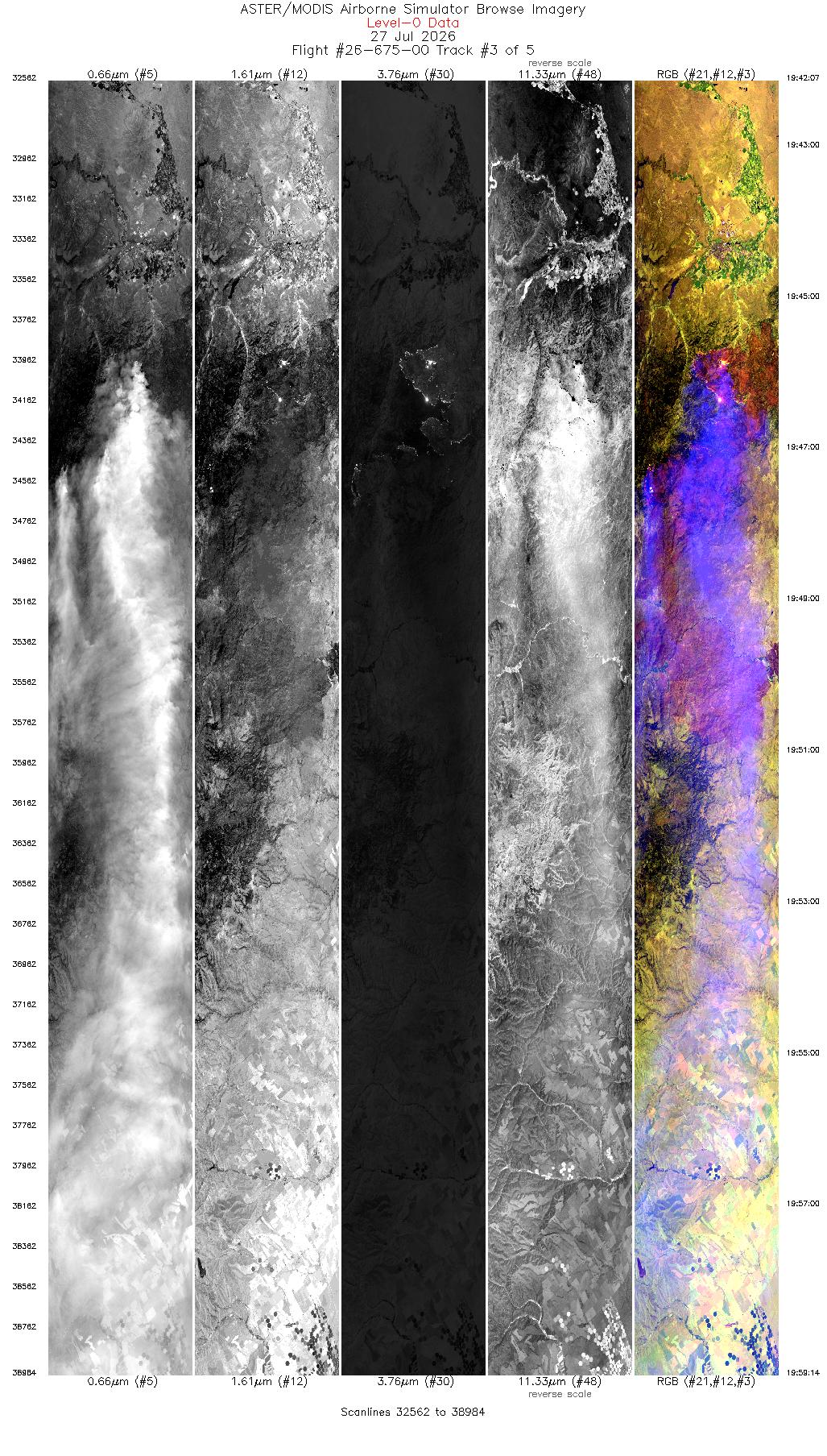
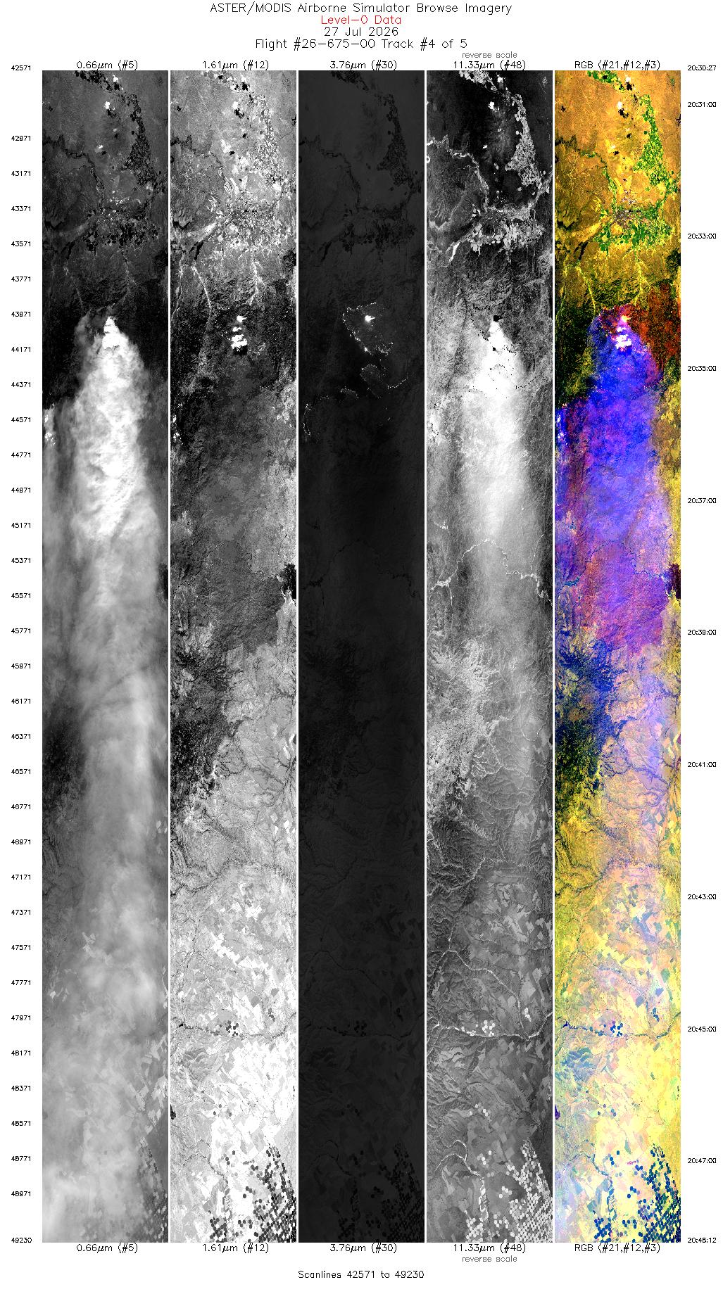
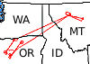
 Flight: 26-675-00
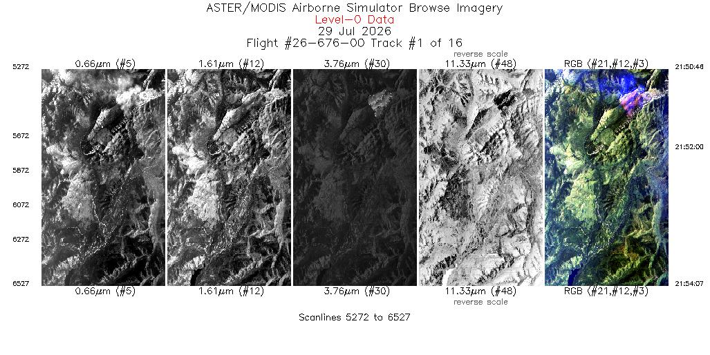
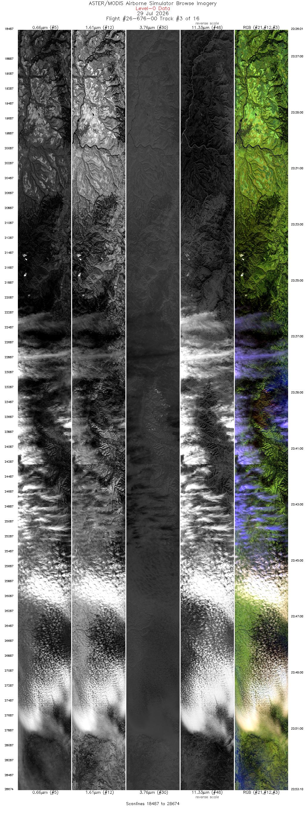
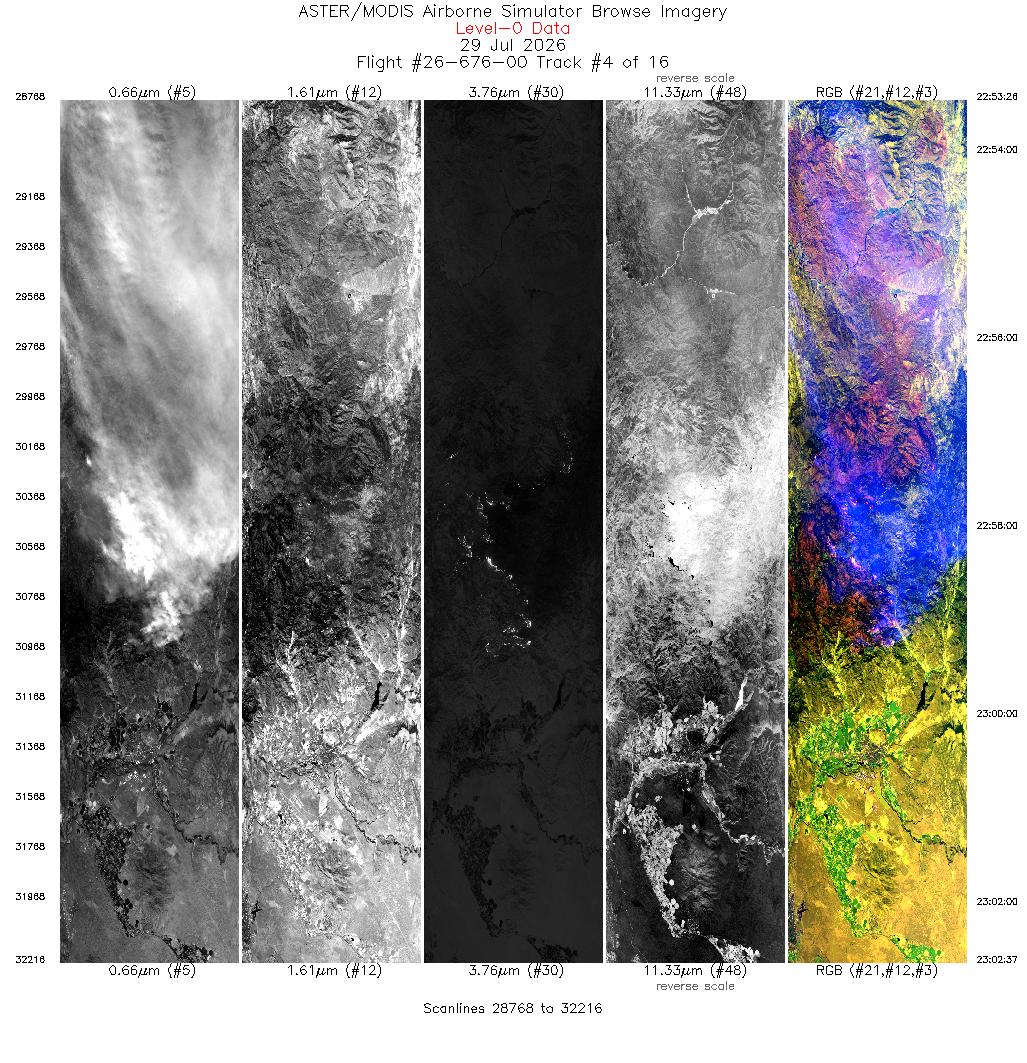
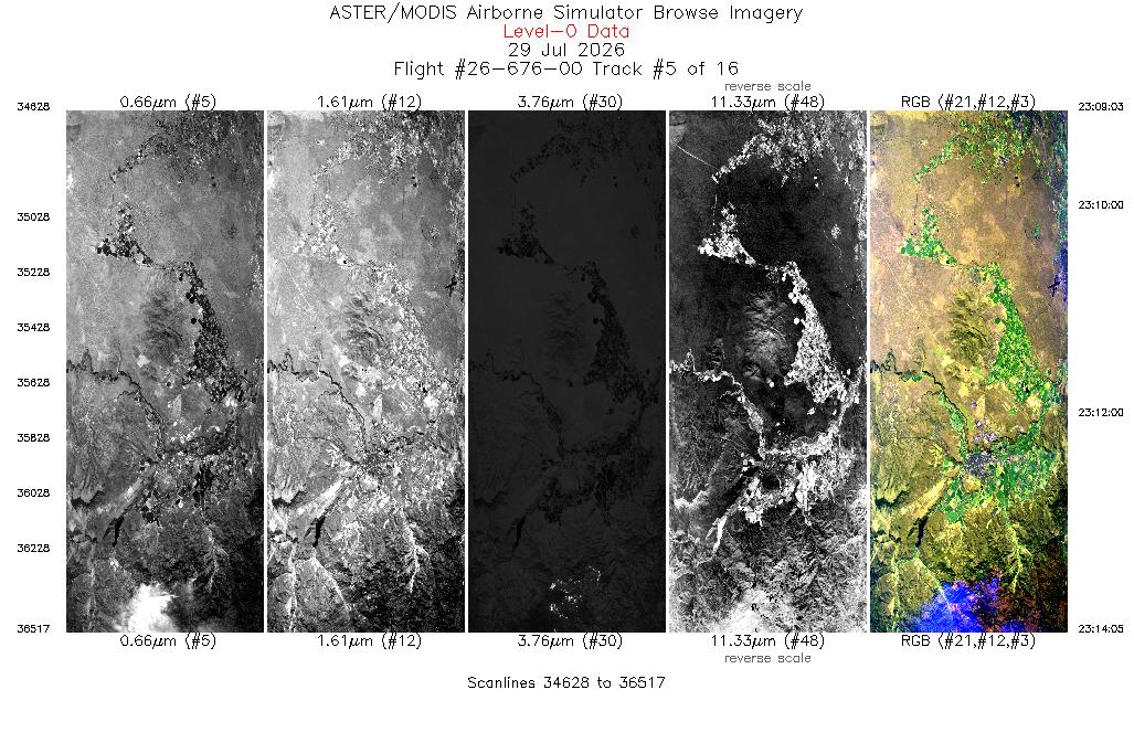
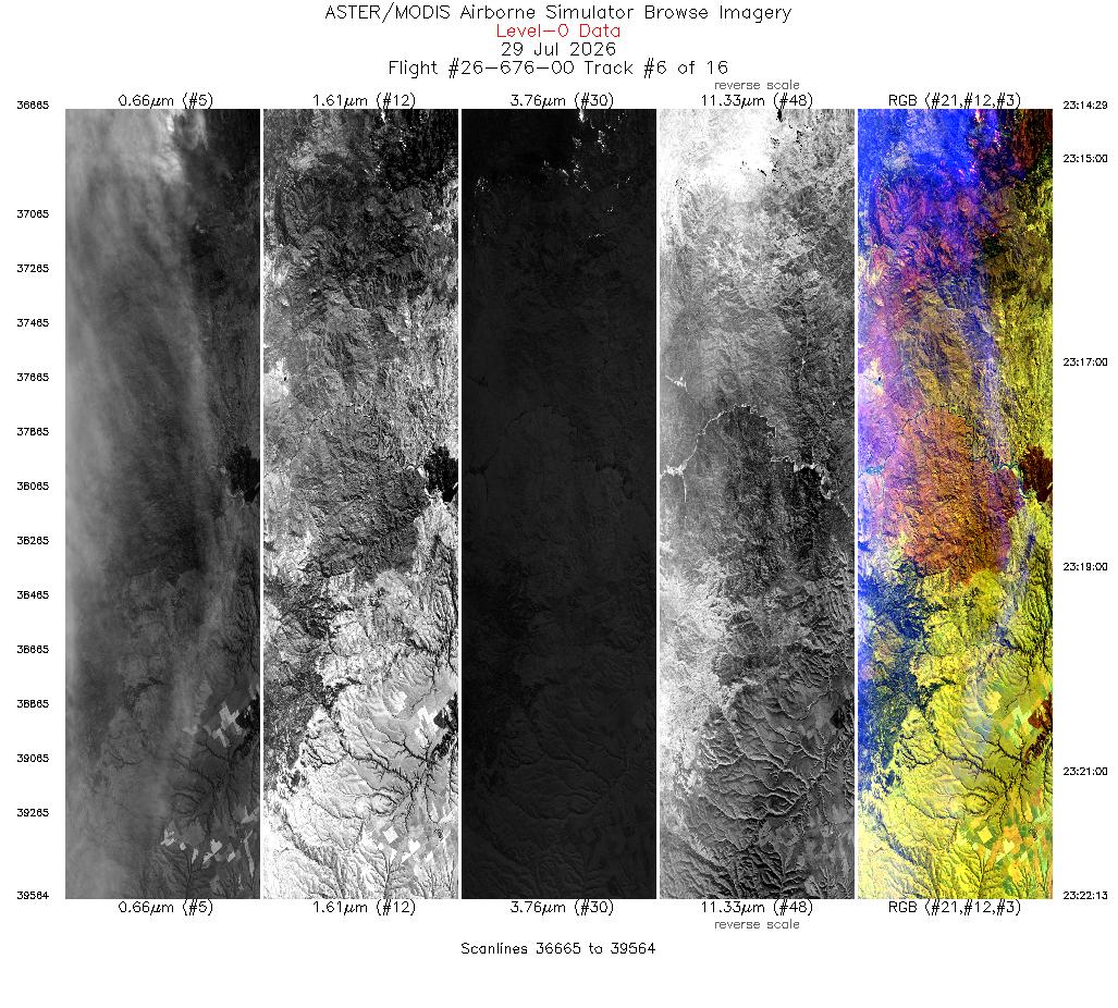
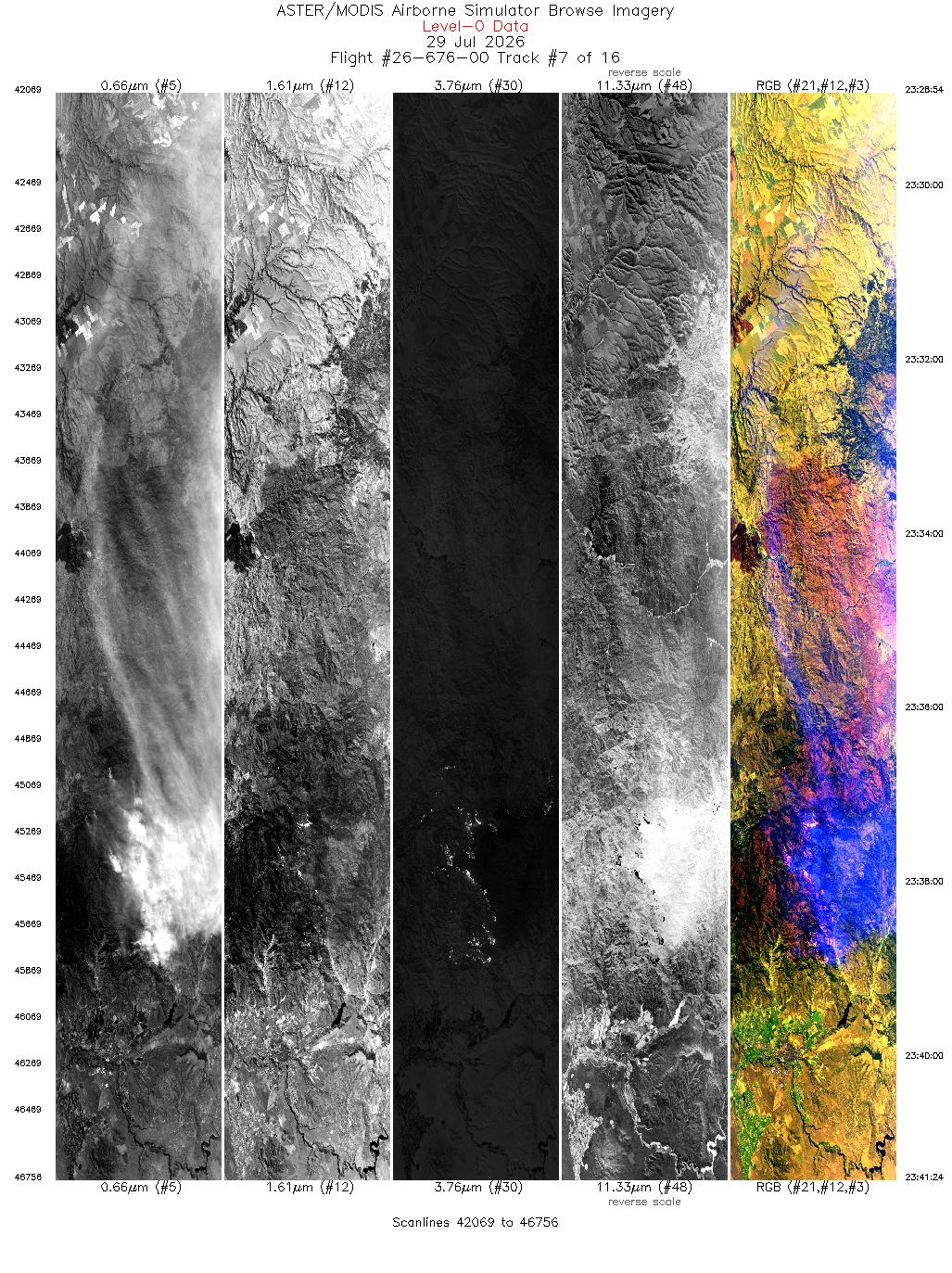
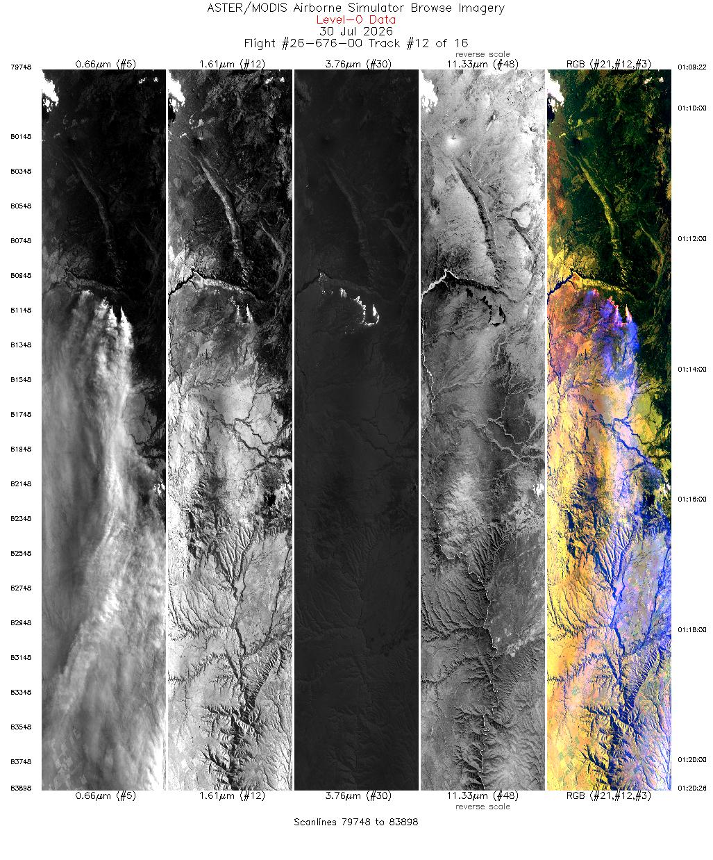
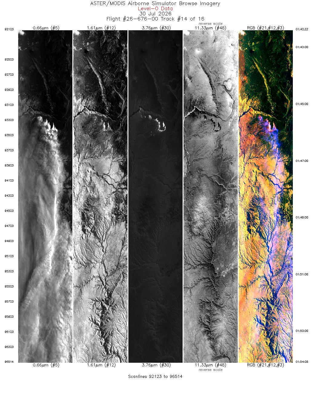
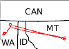
 Flight: 26-676-00
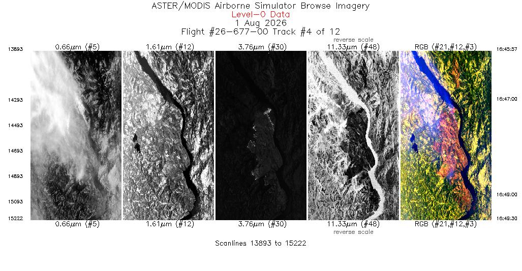
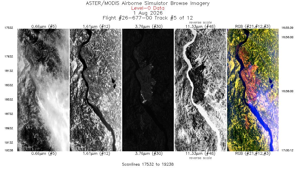
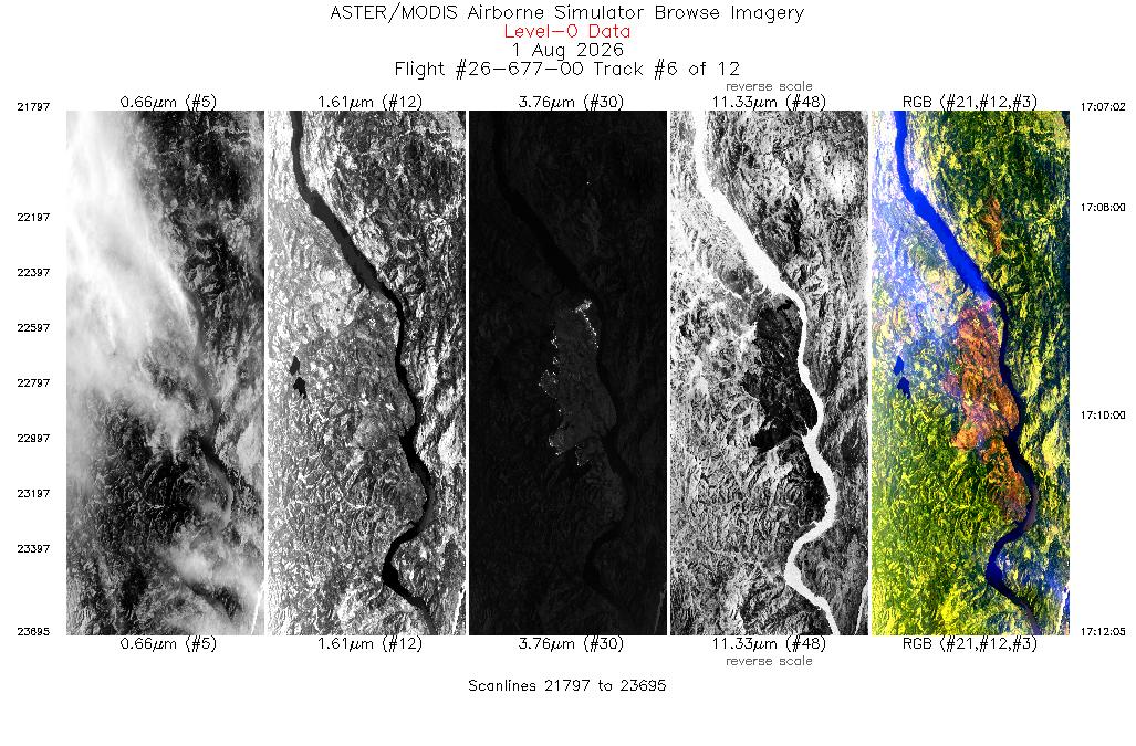
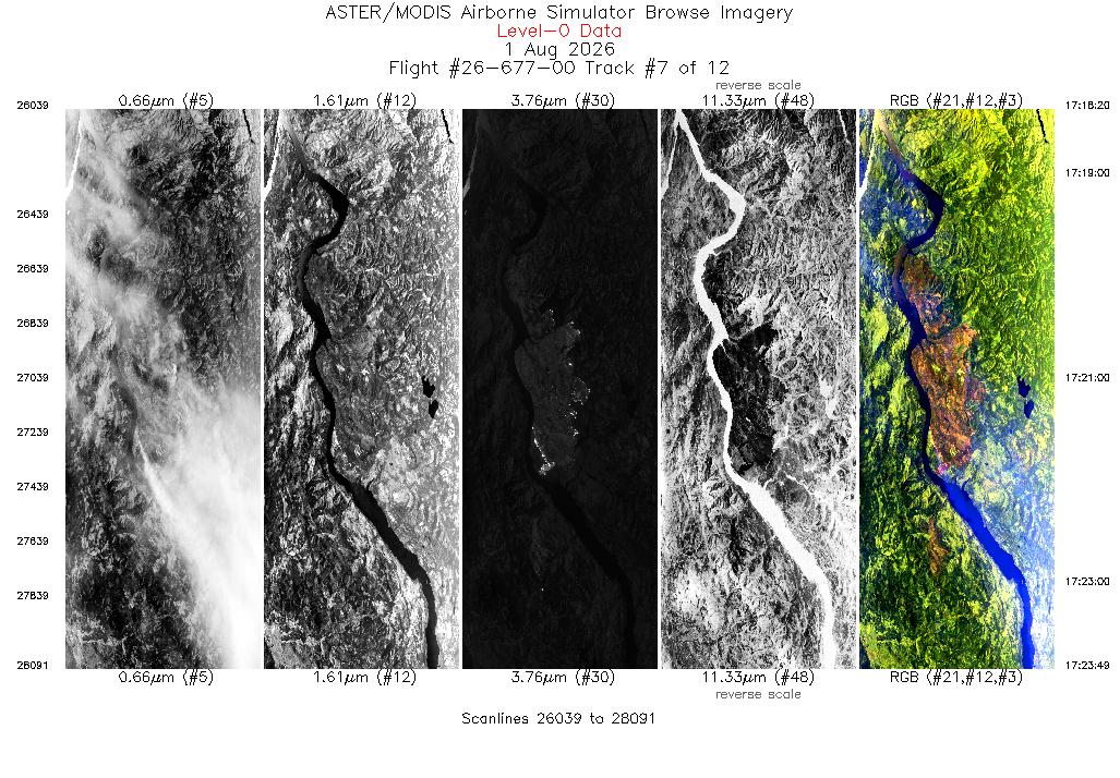
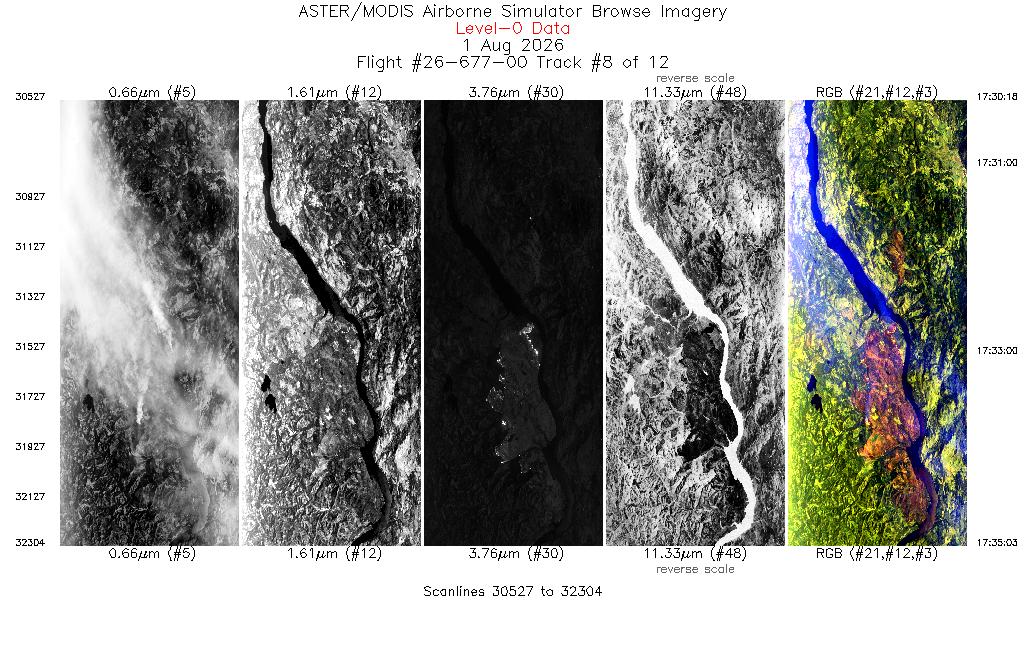
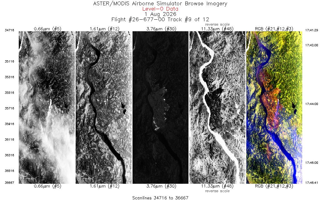
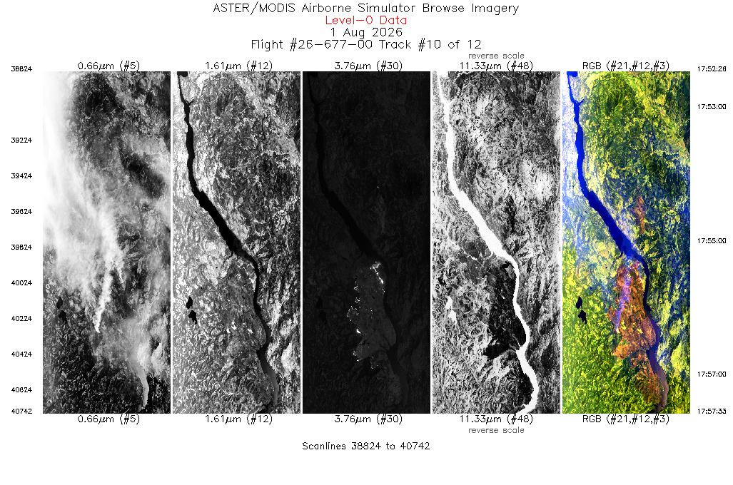
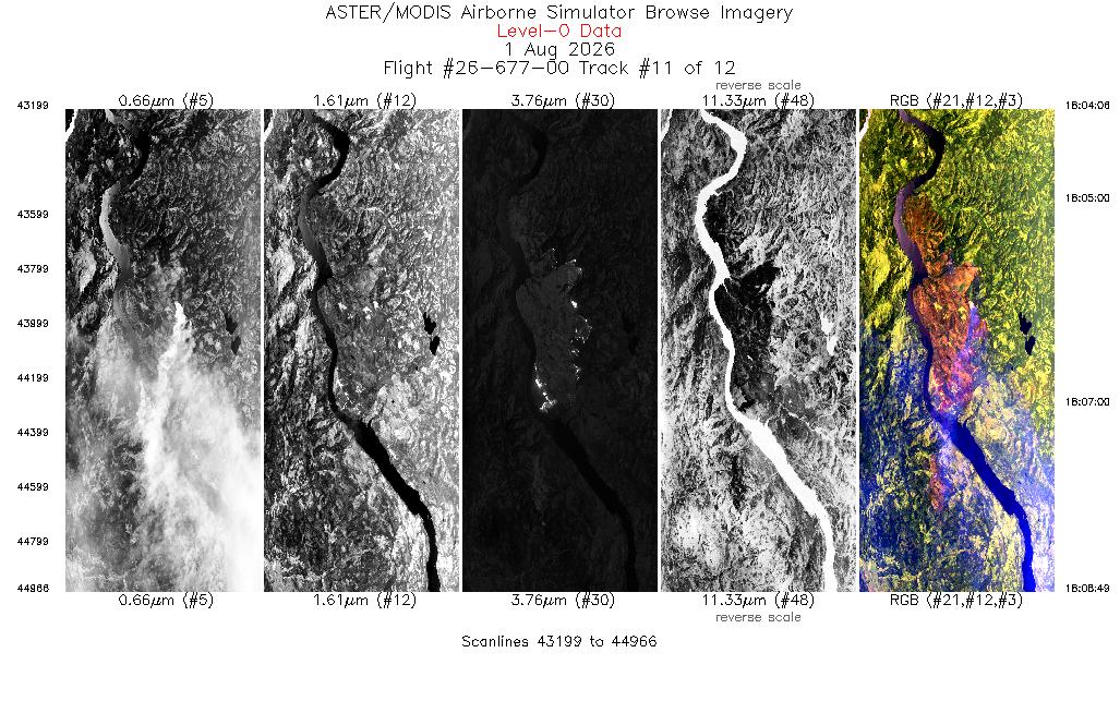
 Flight: 26-677-00
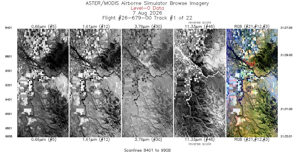
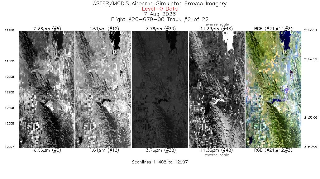
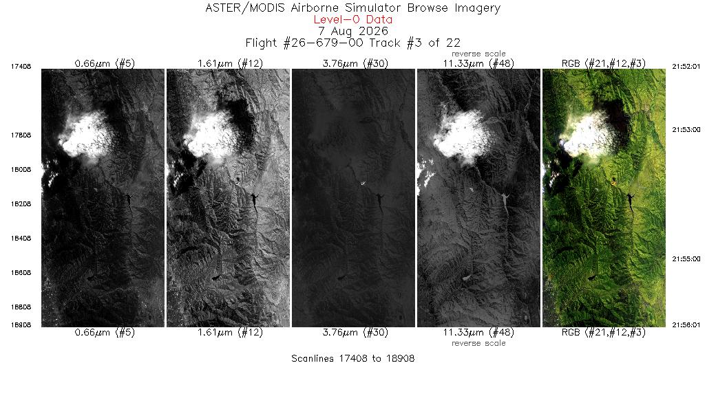
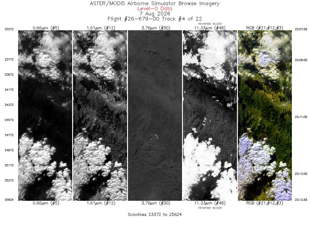
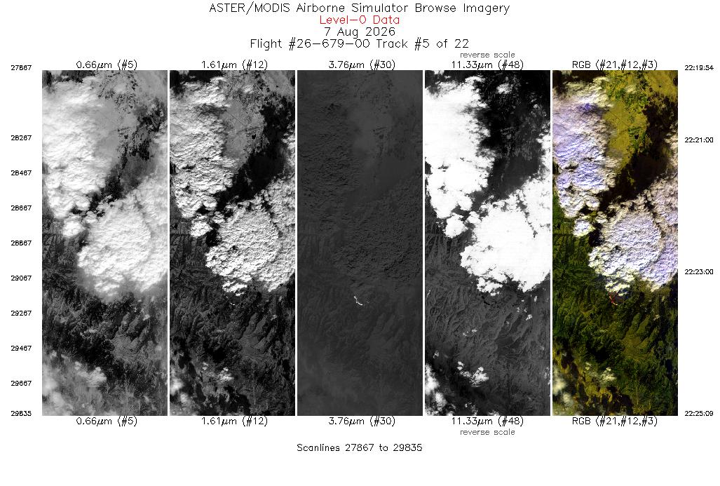
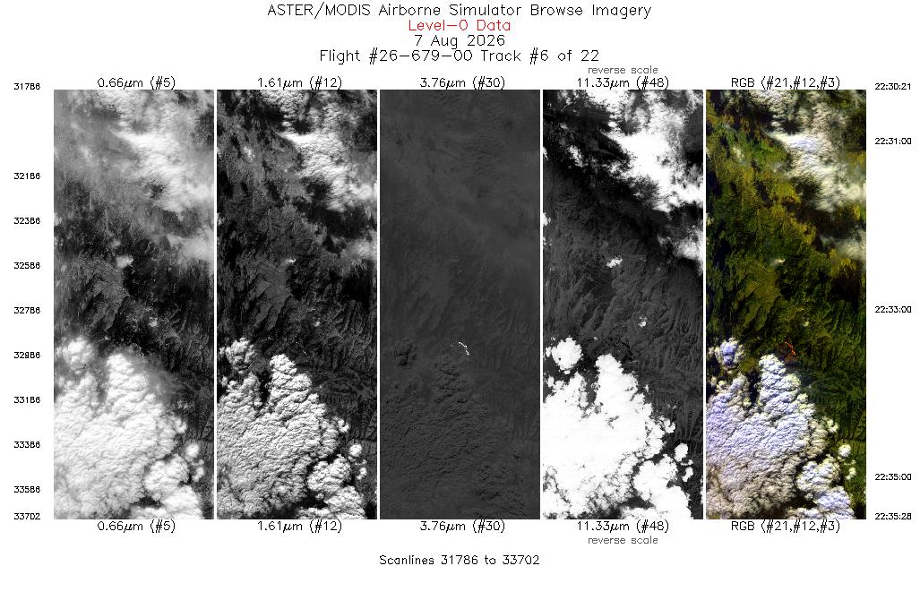
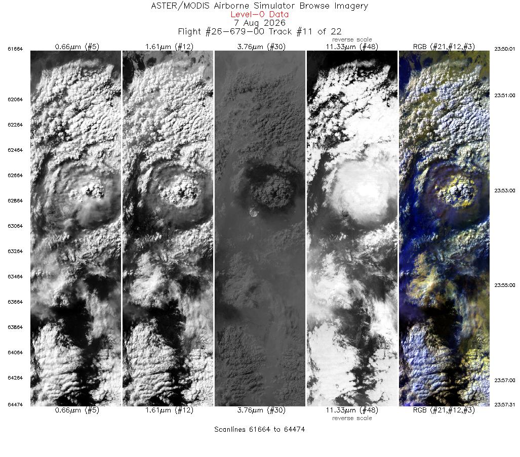
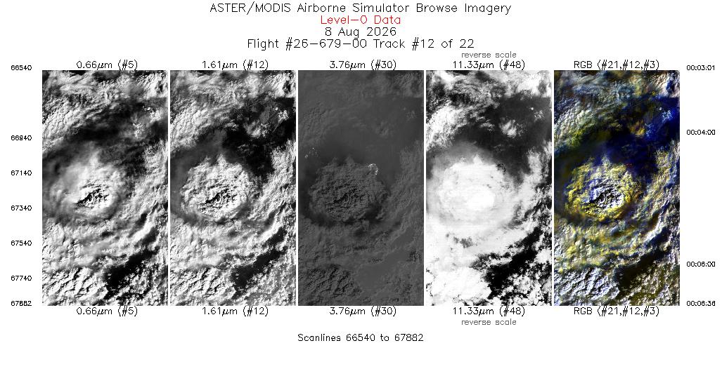
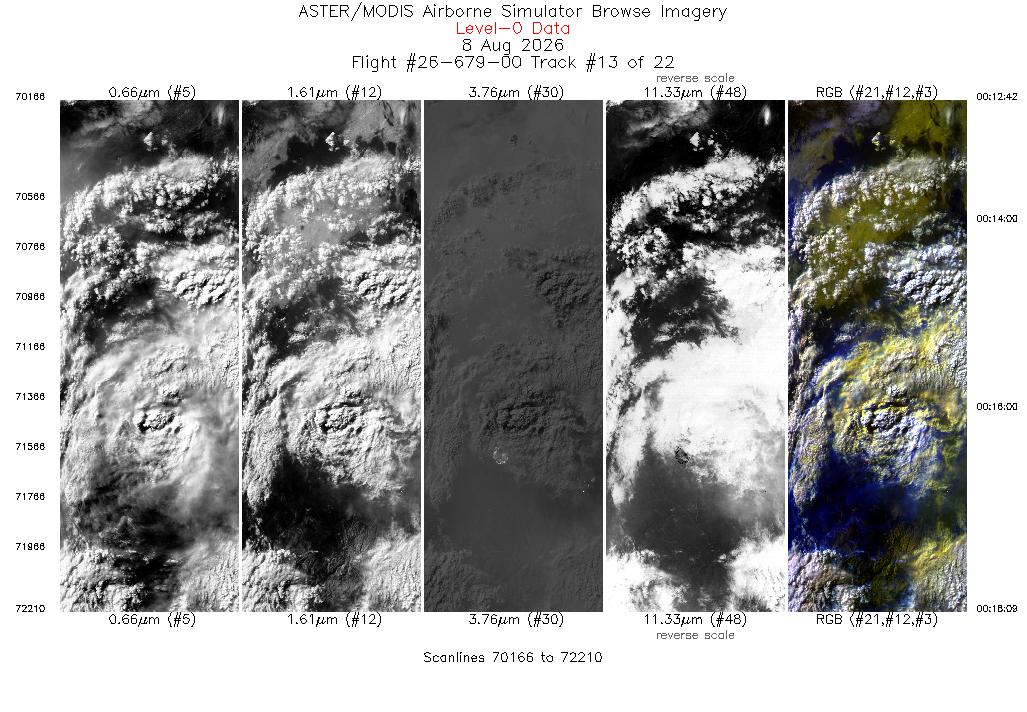
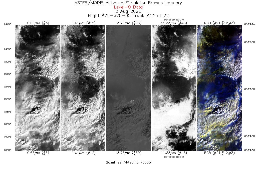
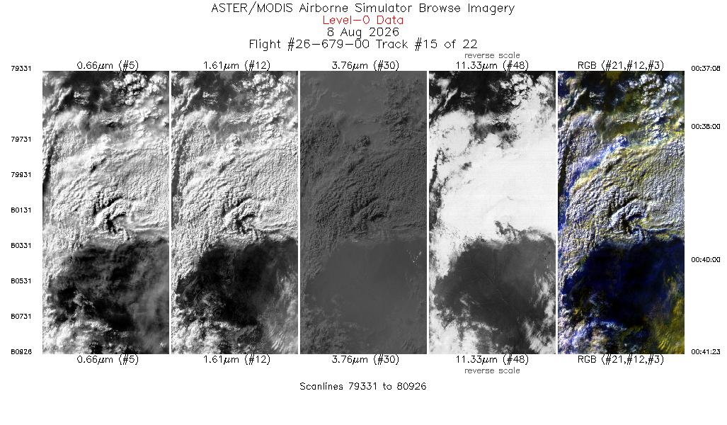
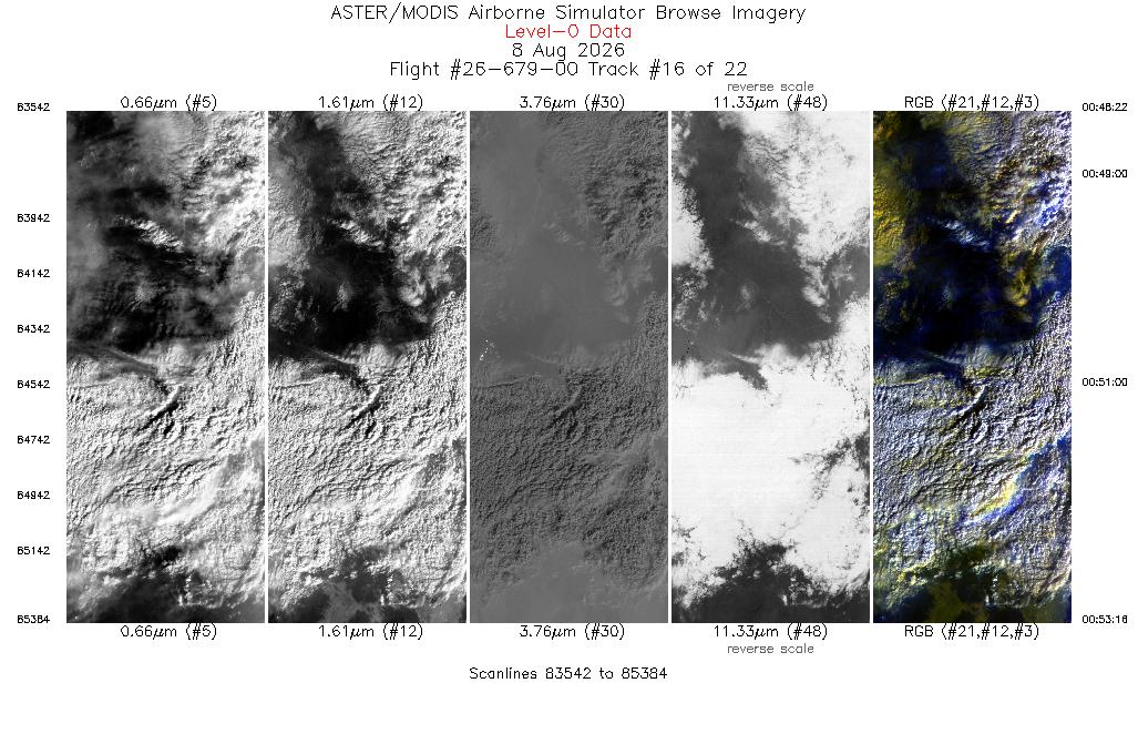
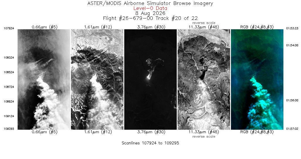
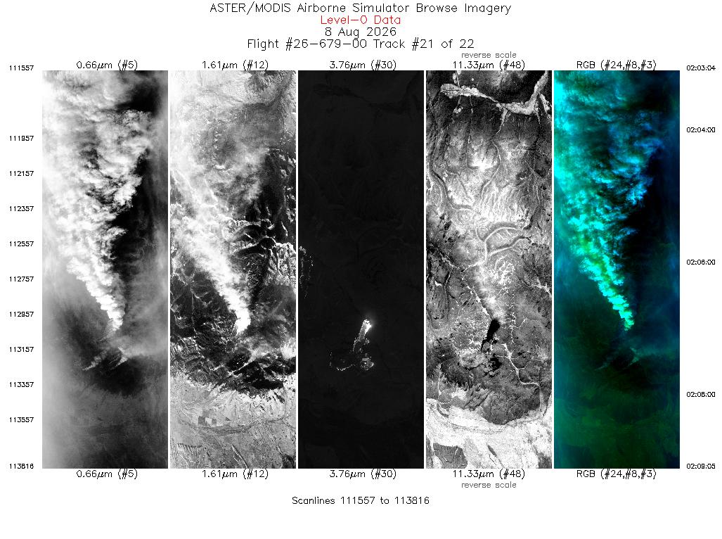
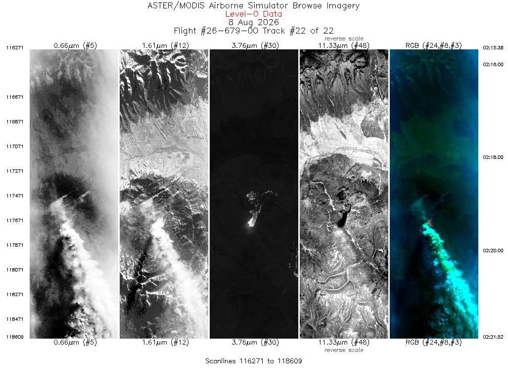
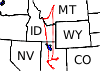 Flight: 26-679-00
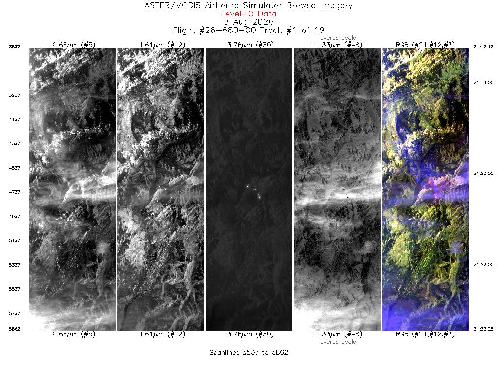
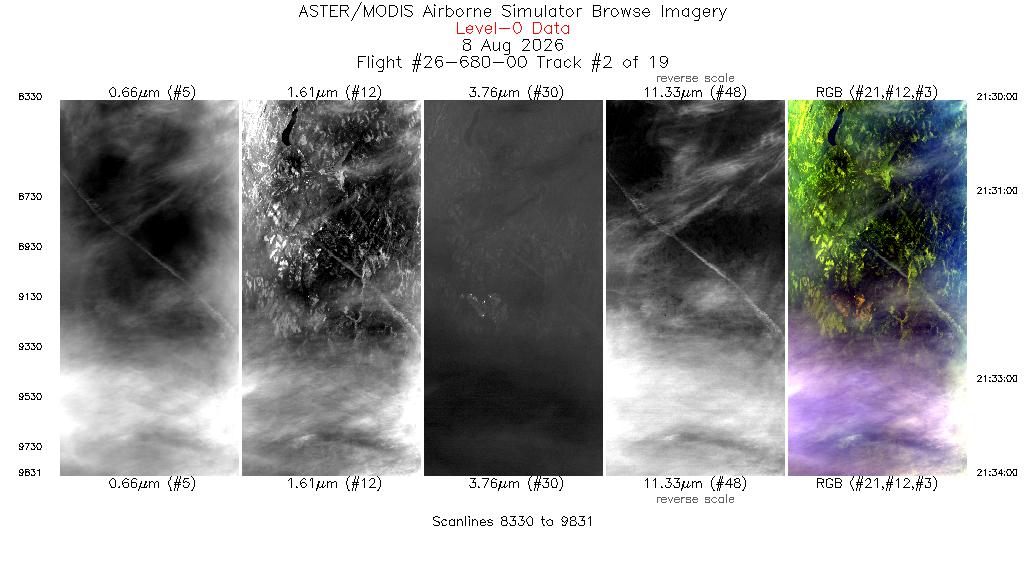
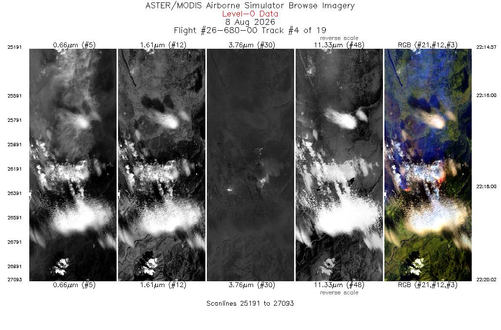
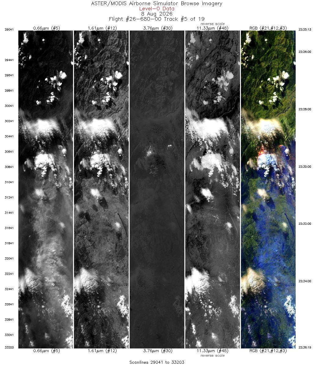
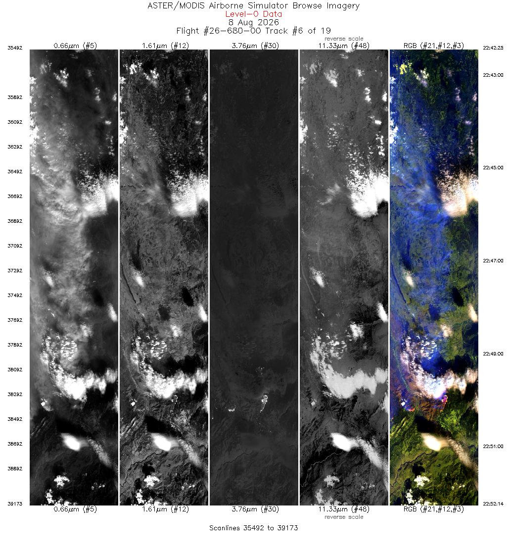
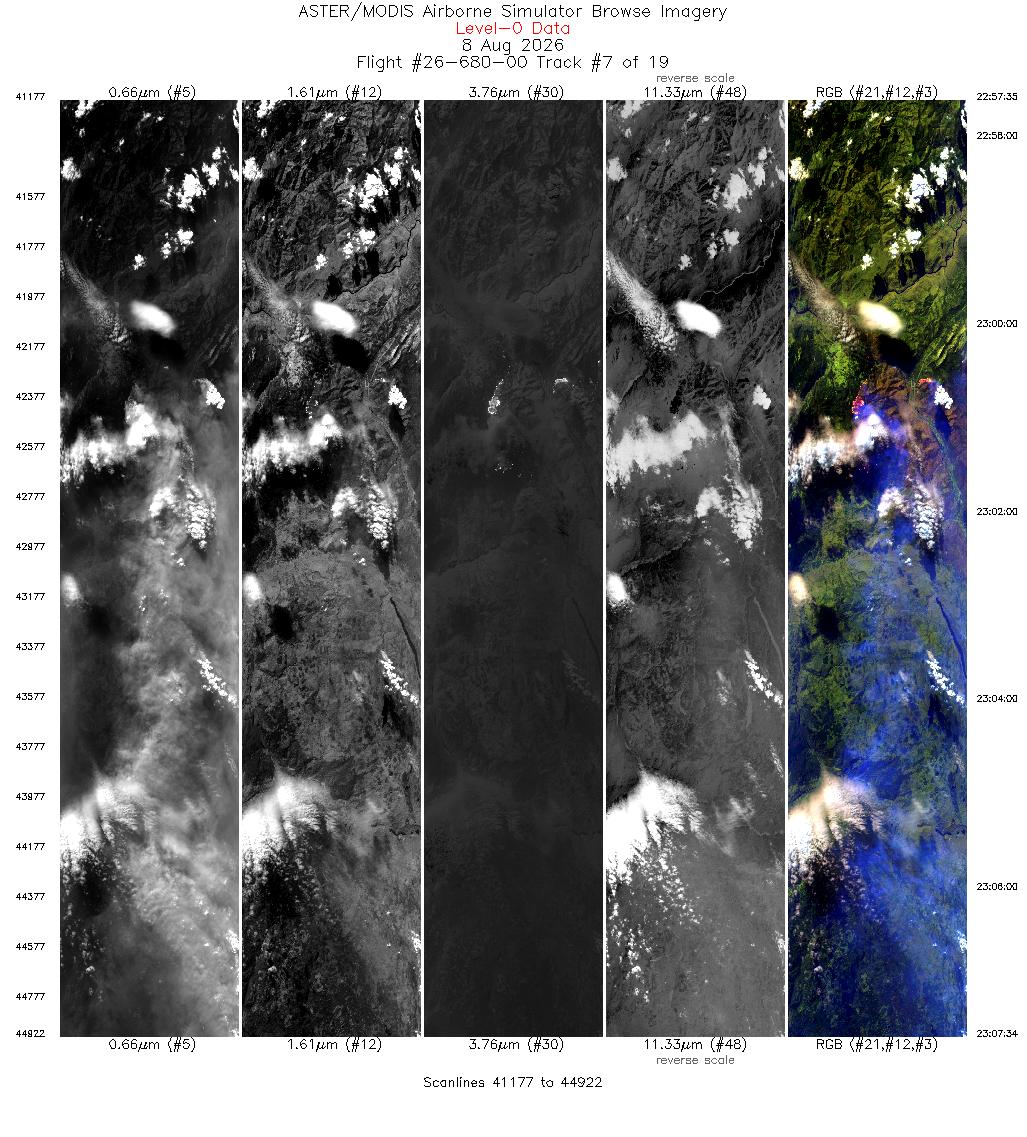
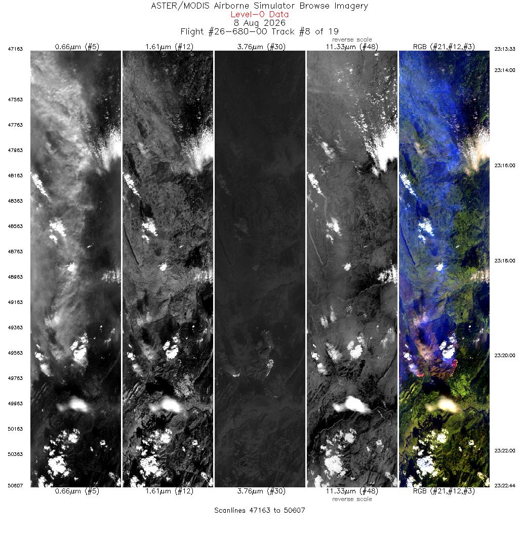
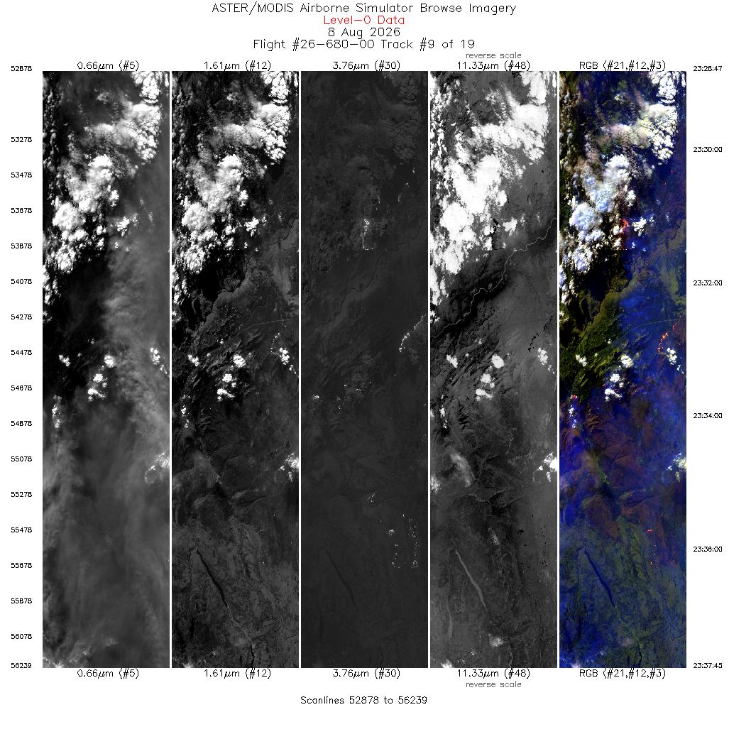
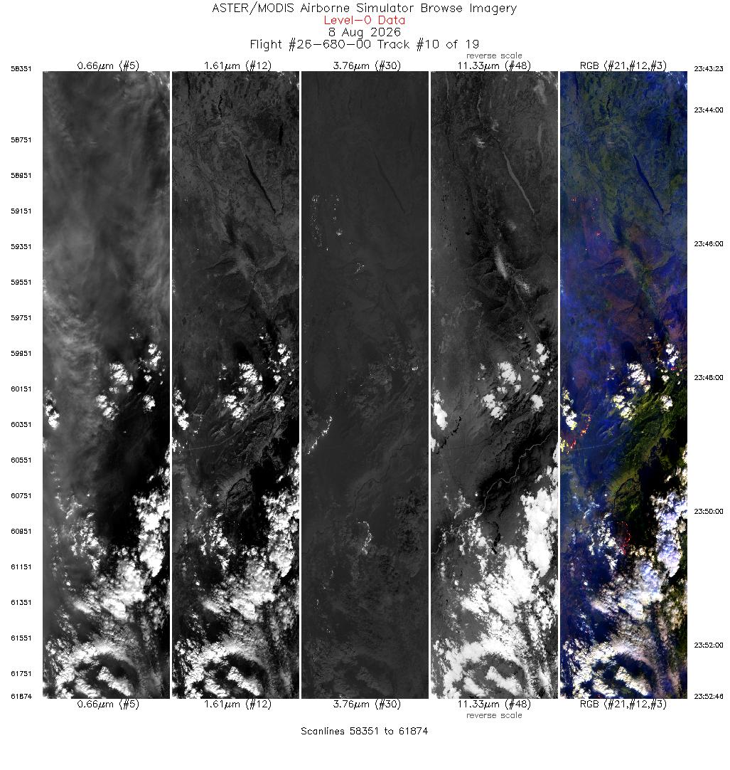
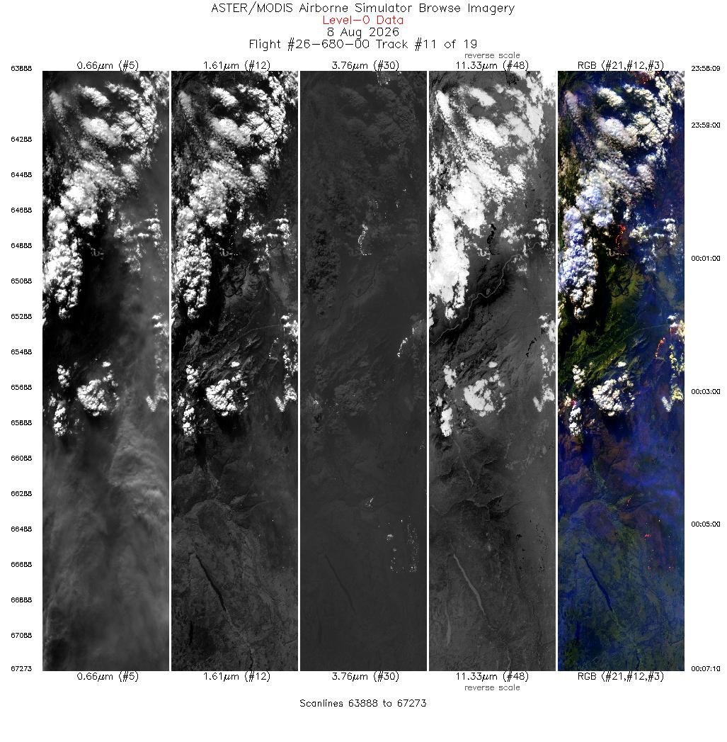
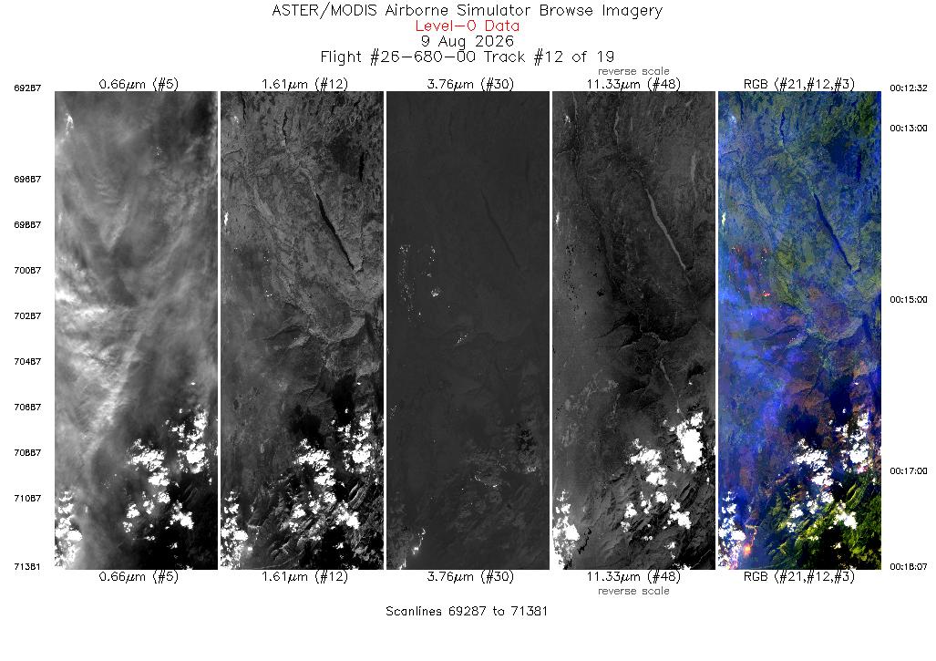
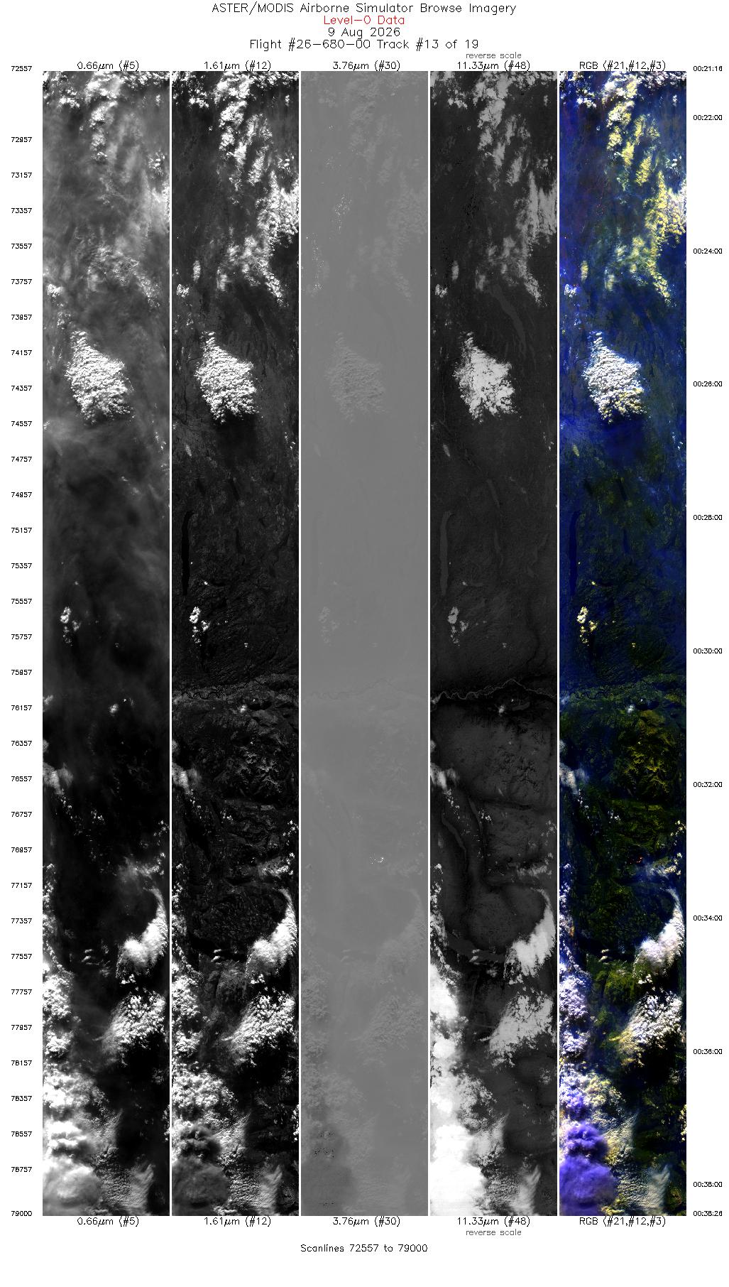
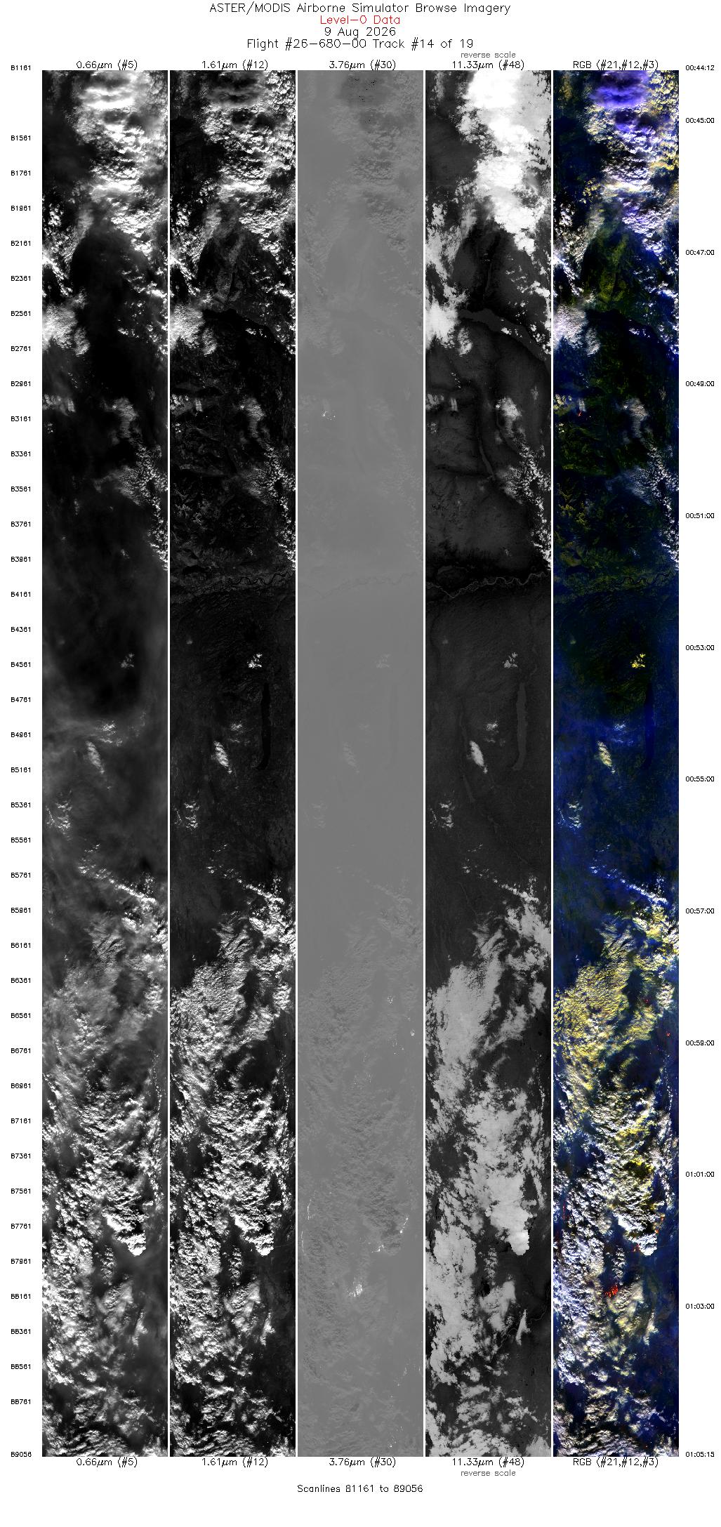
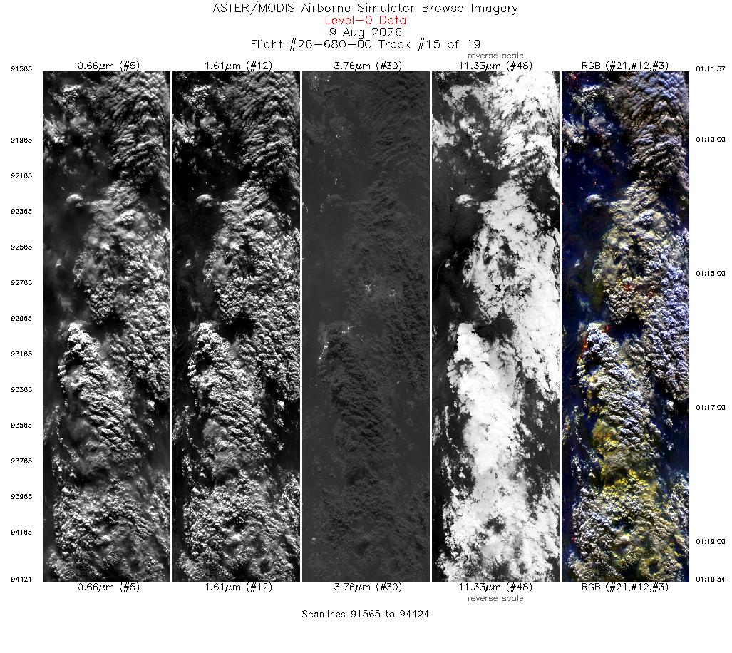
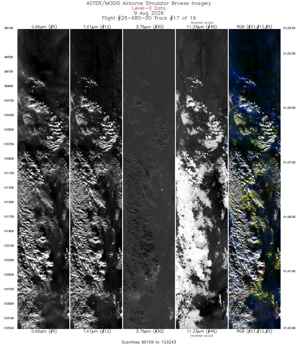
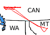 Flight: 26-680-00
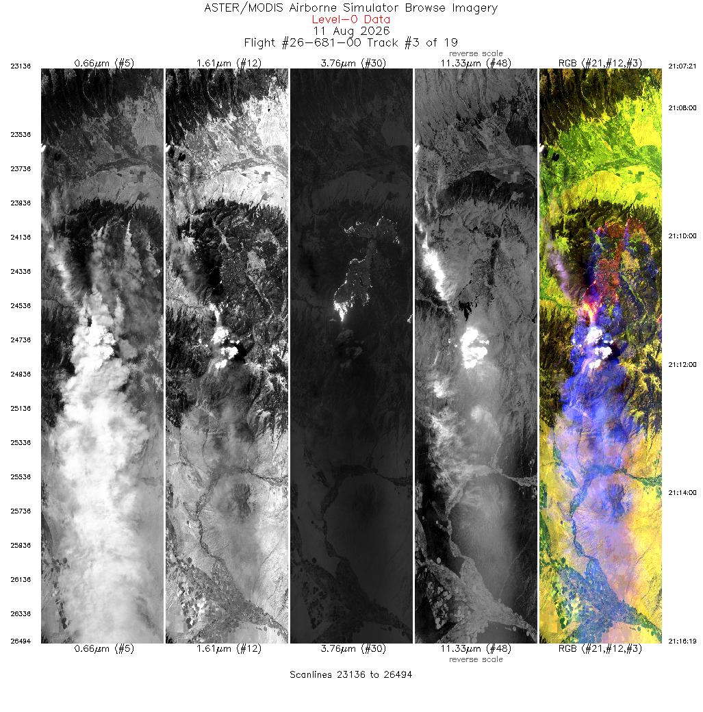
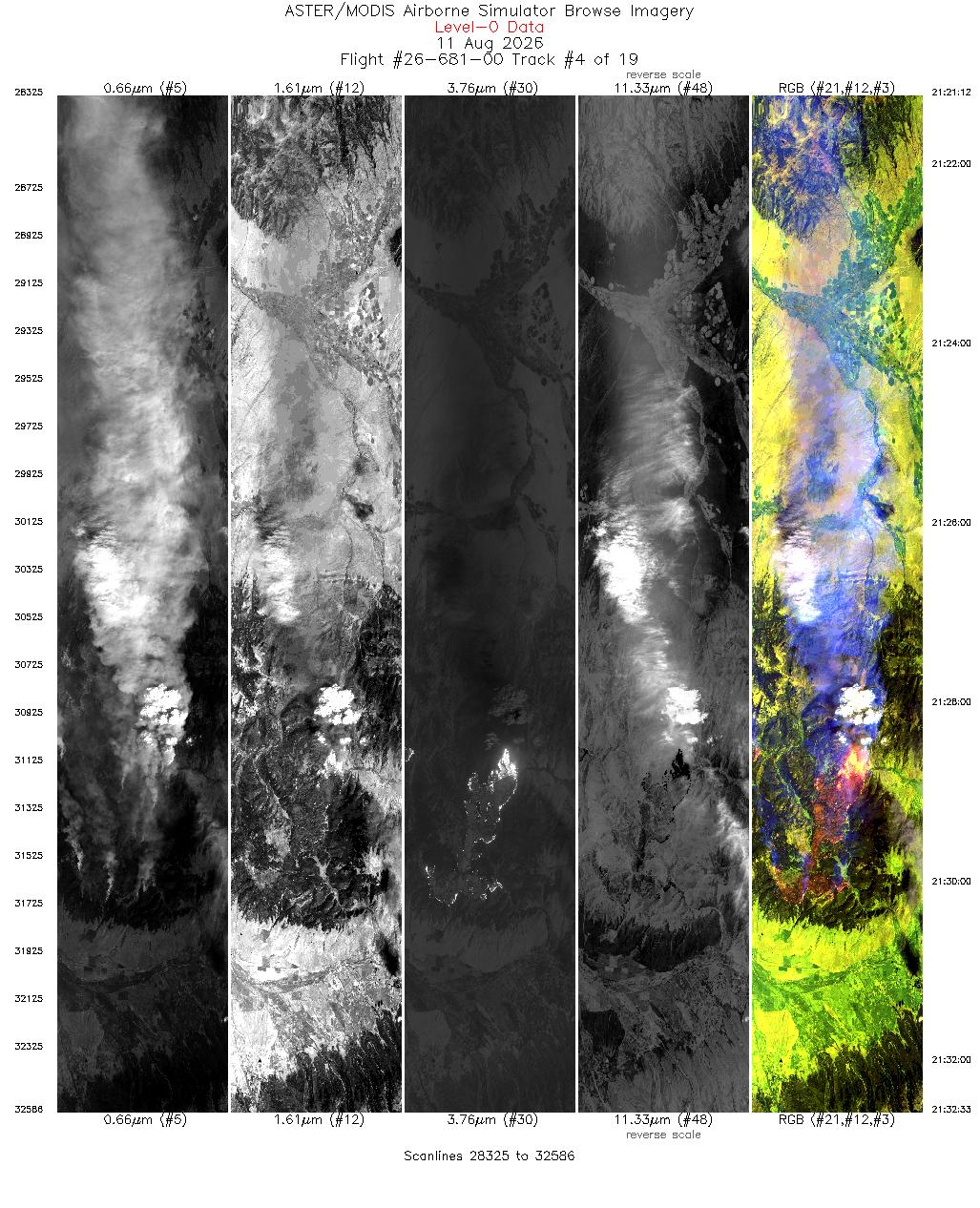
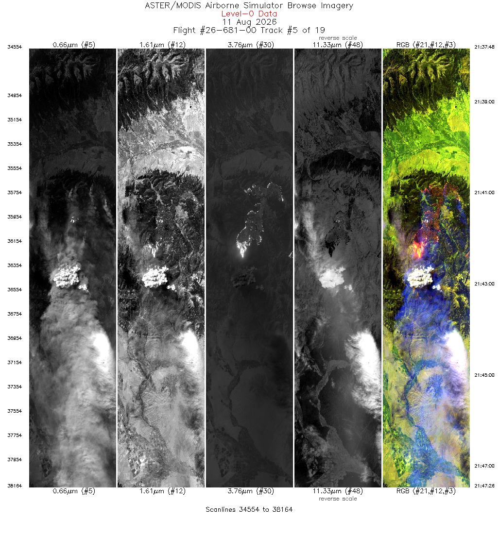
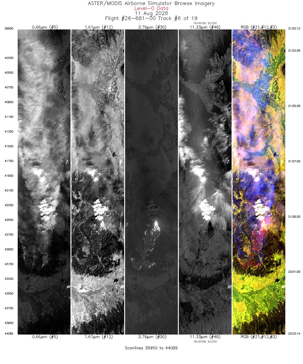
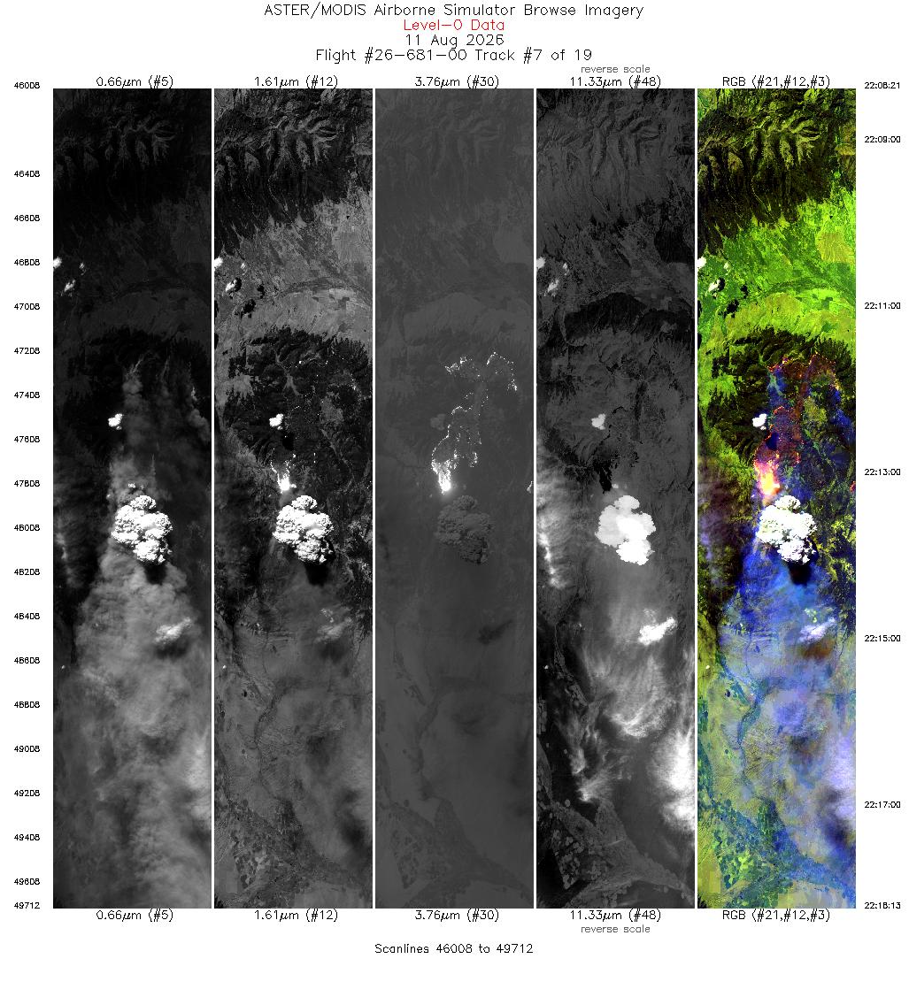
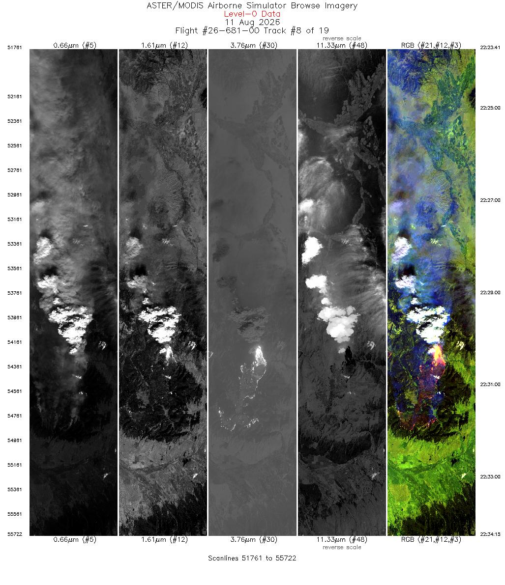
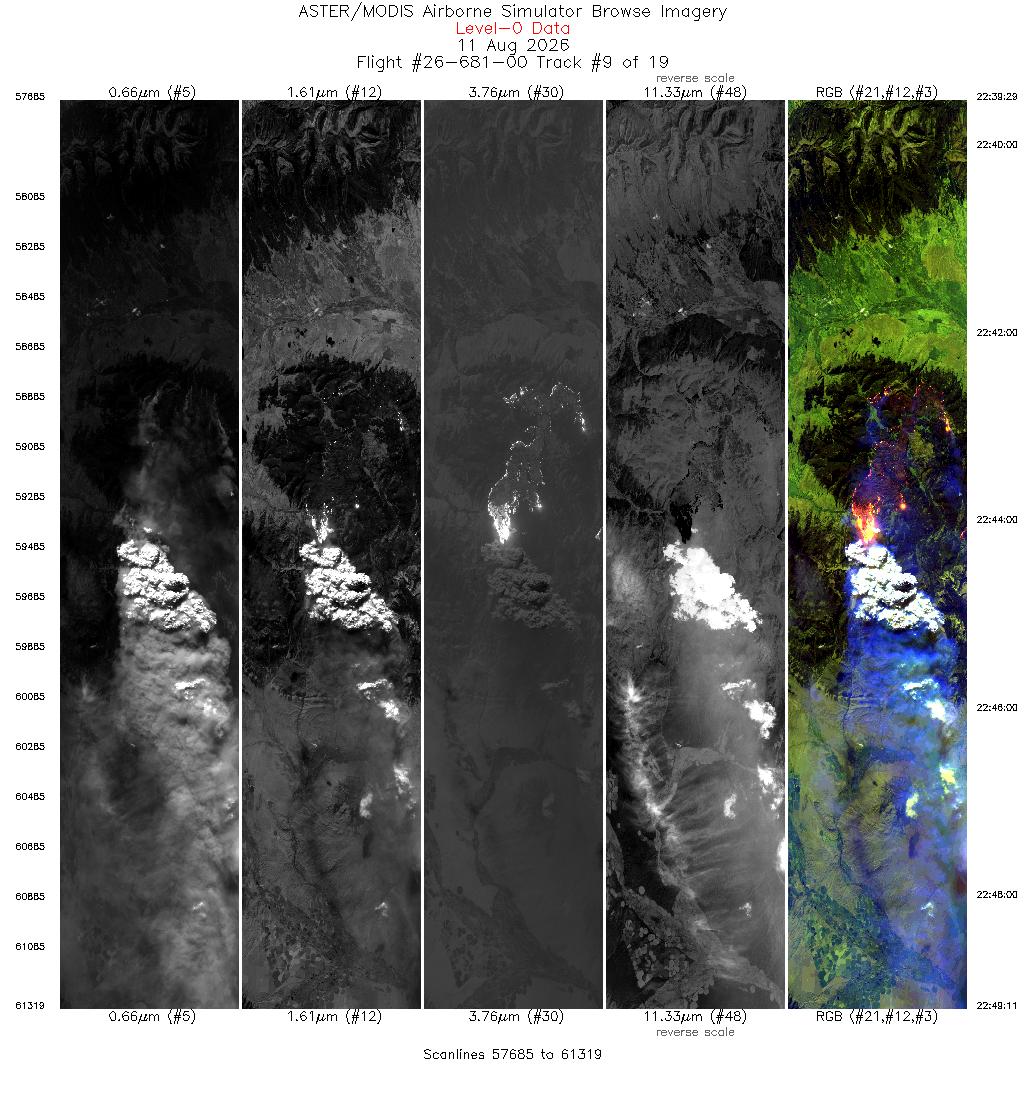
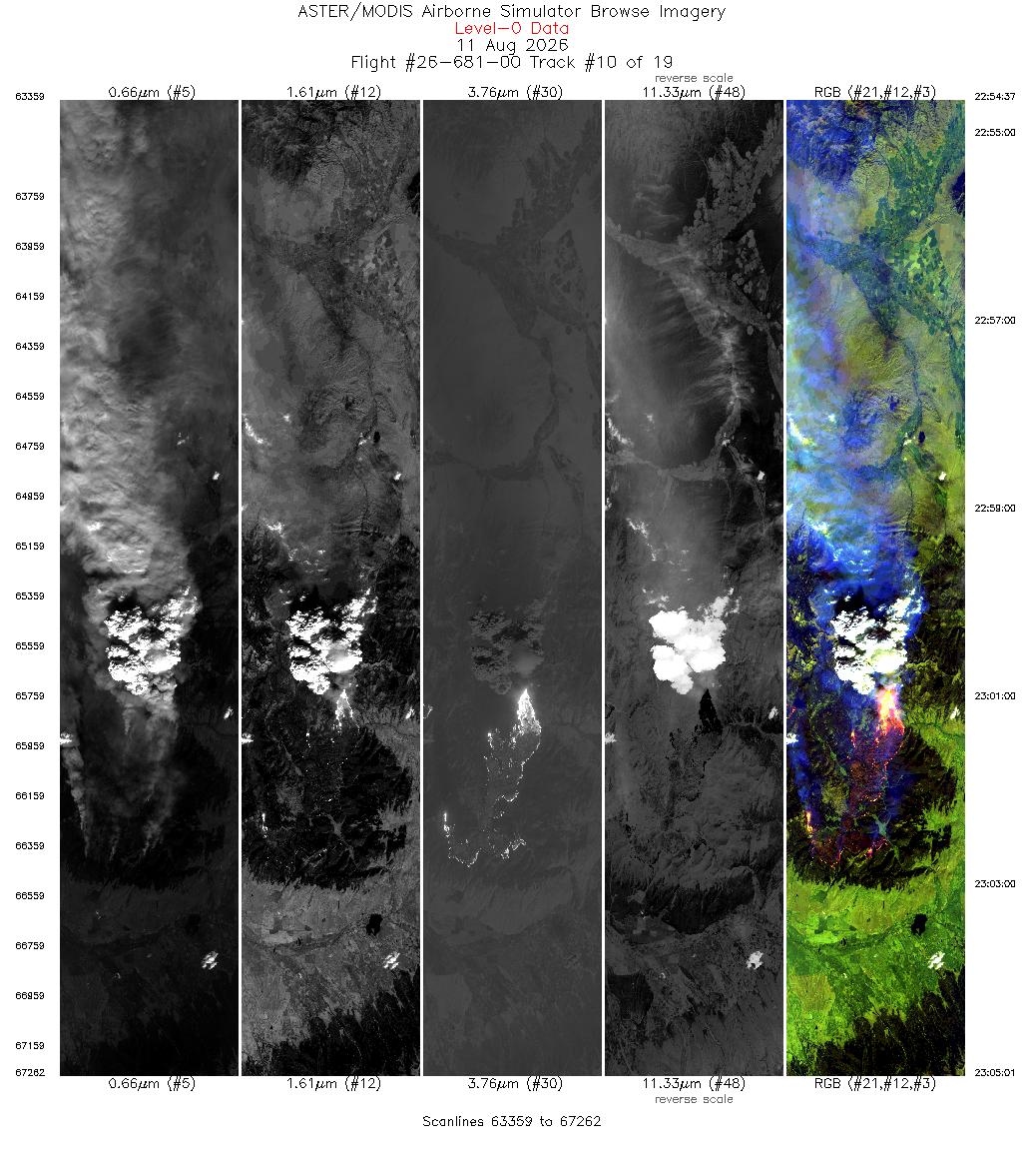
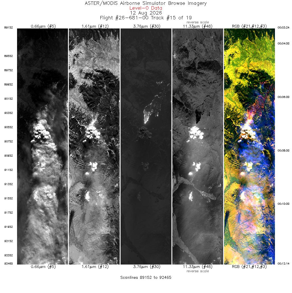
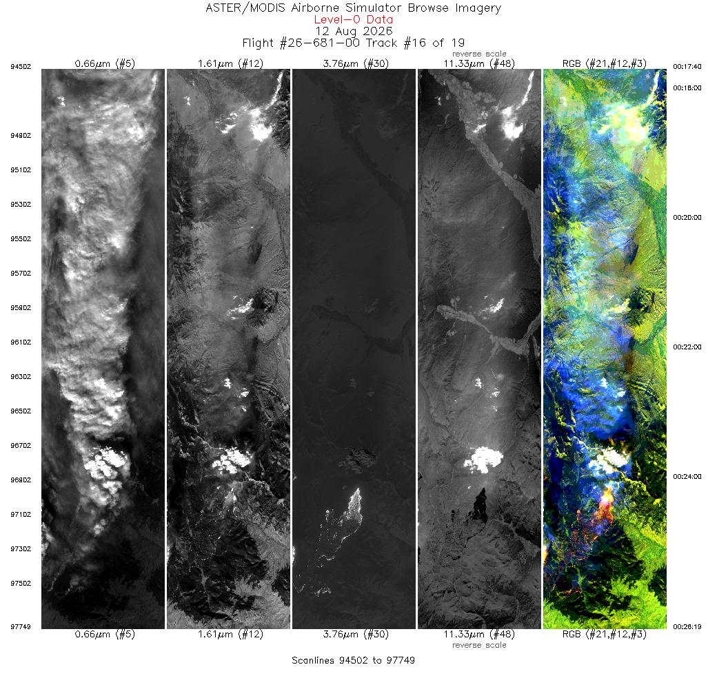
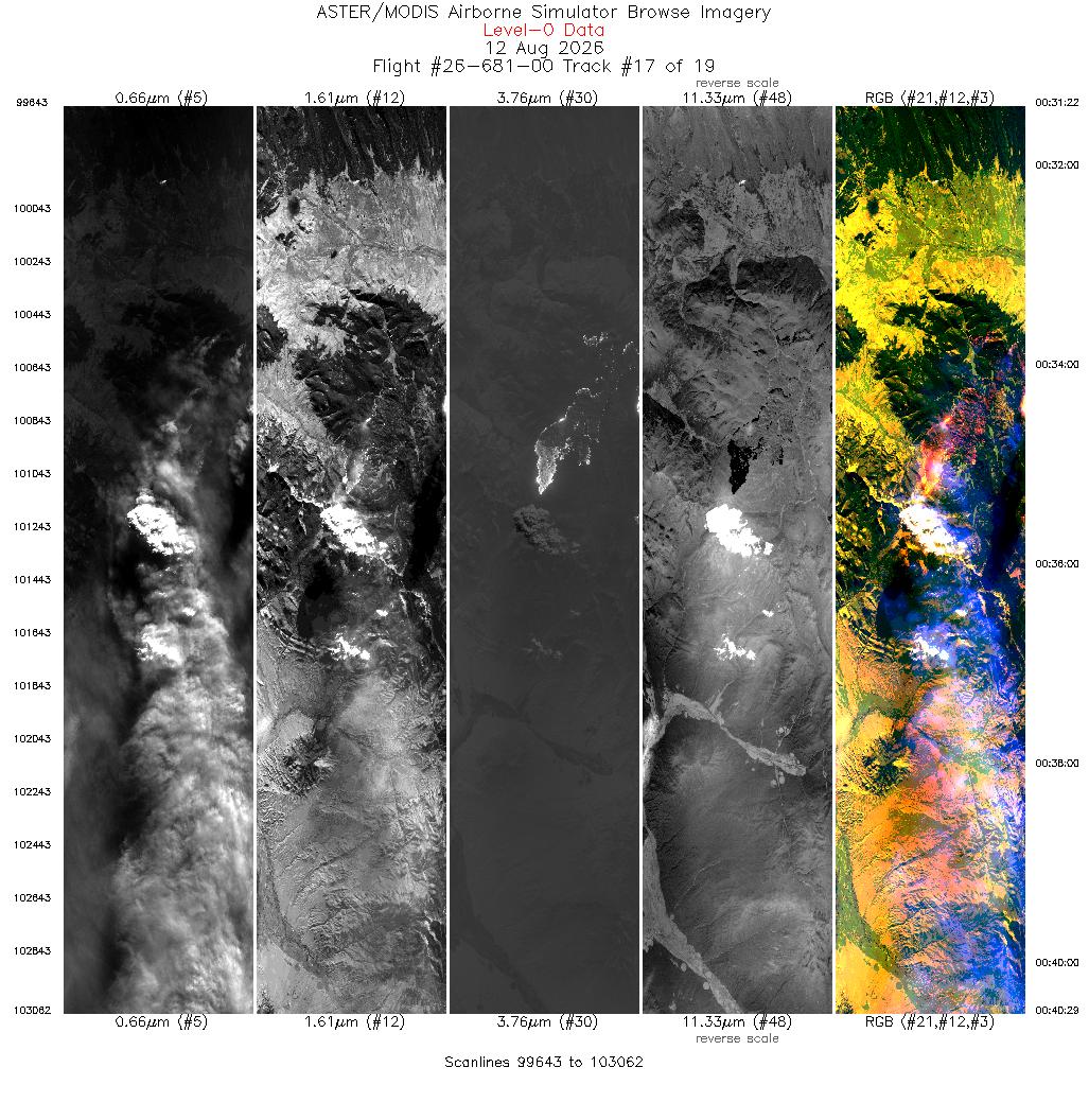
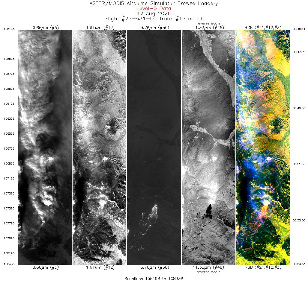
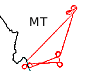 Flight: 26-681-00
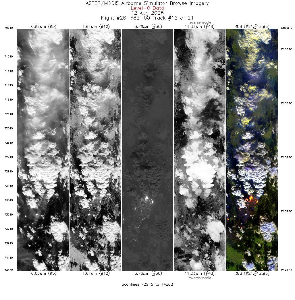
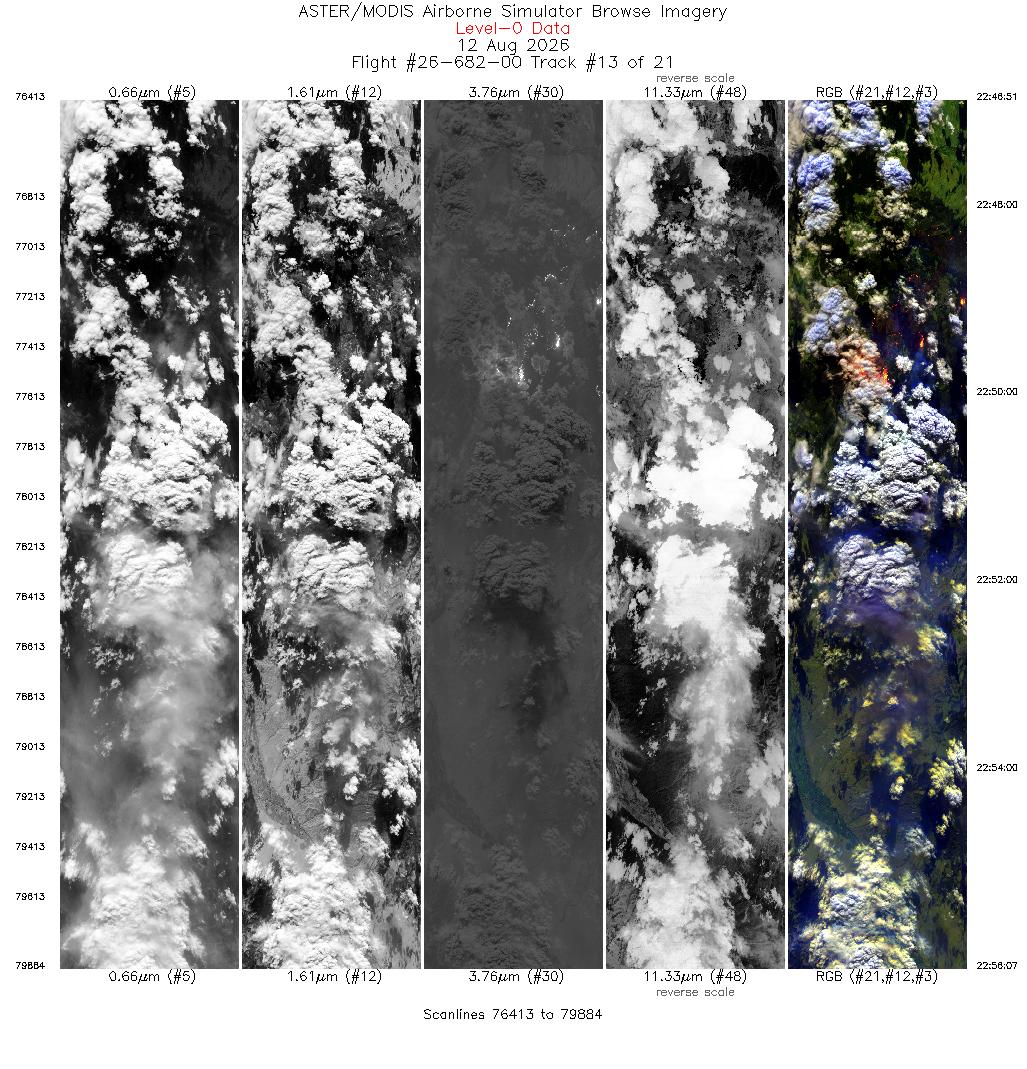
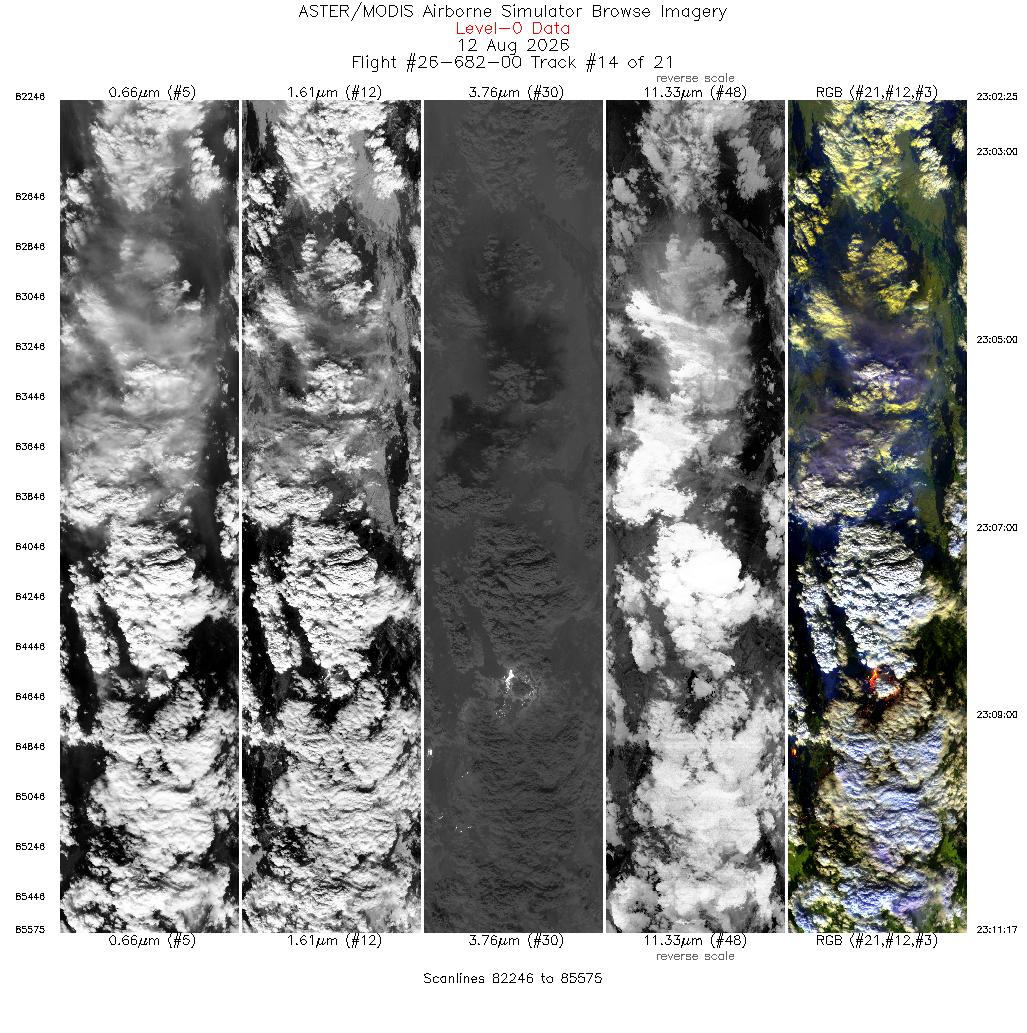
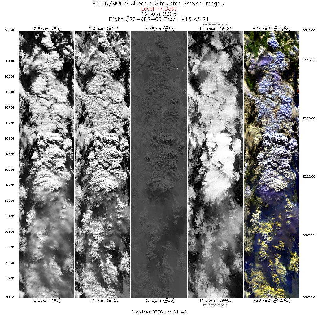
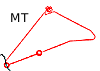 Flight: 26-682-00
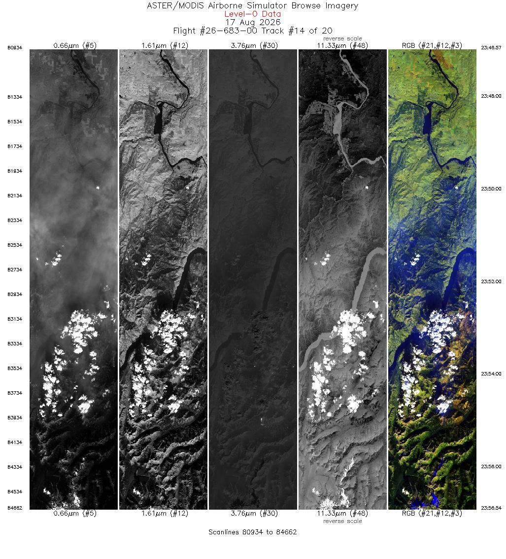
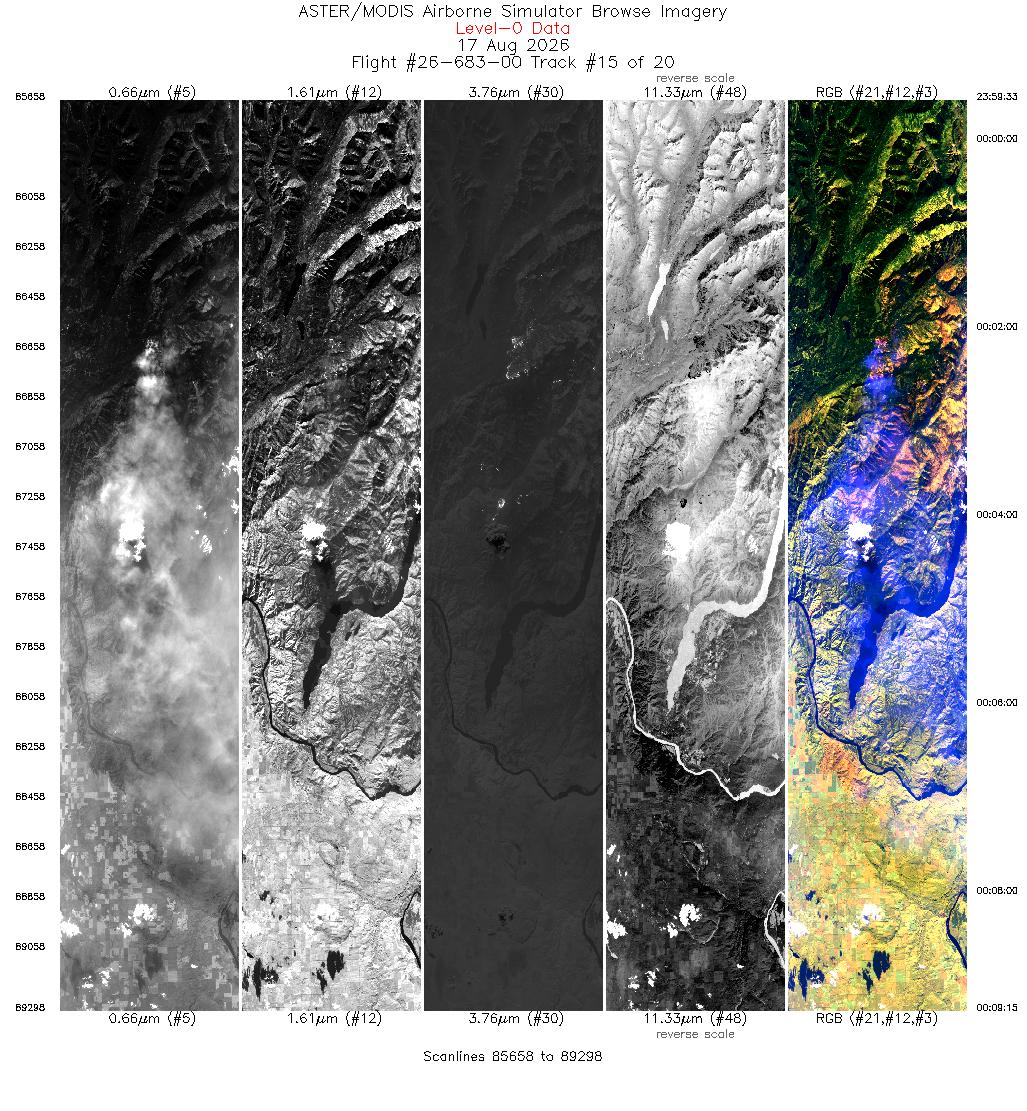
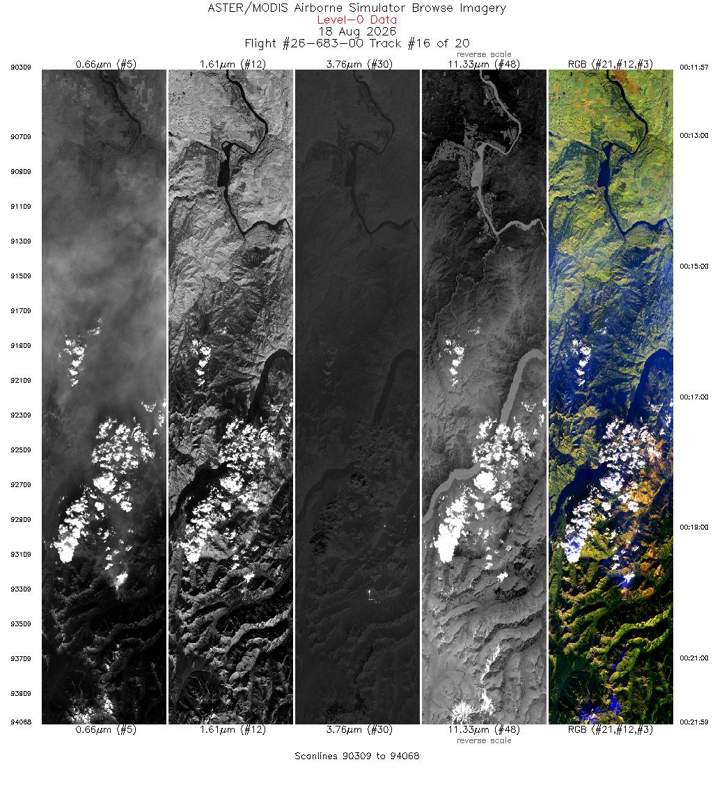
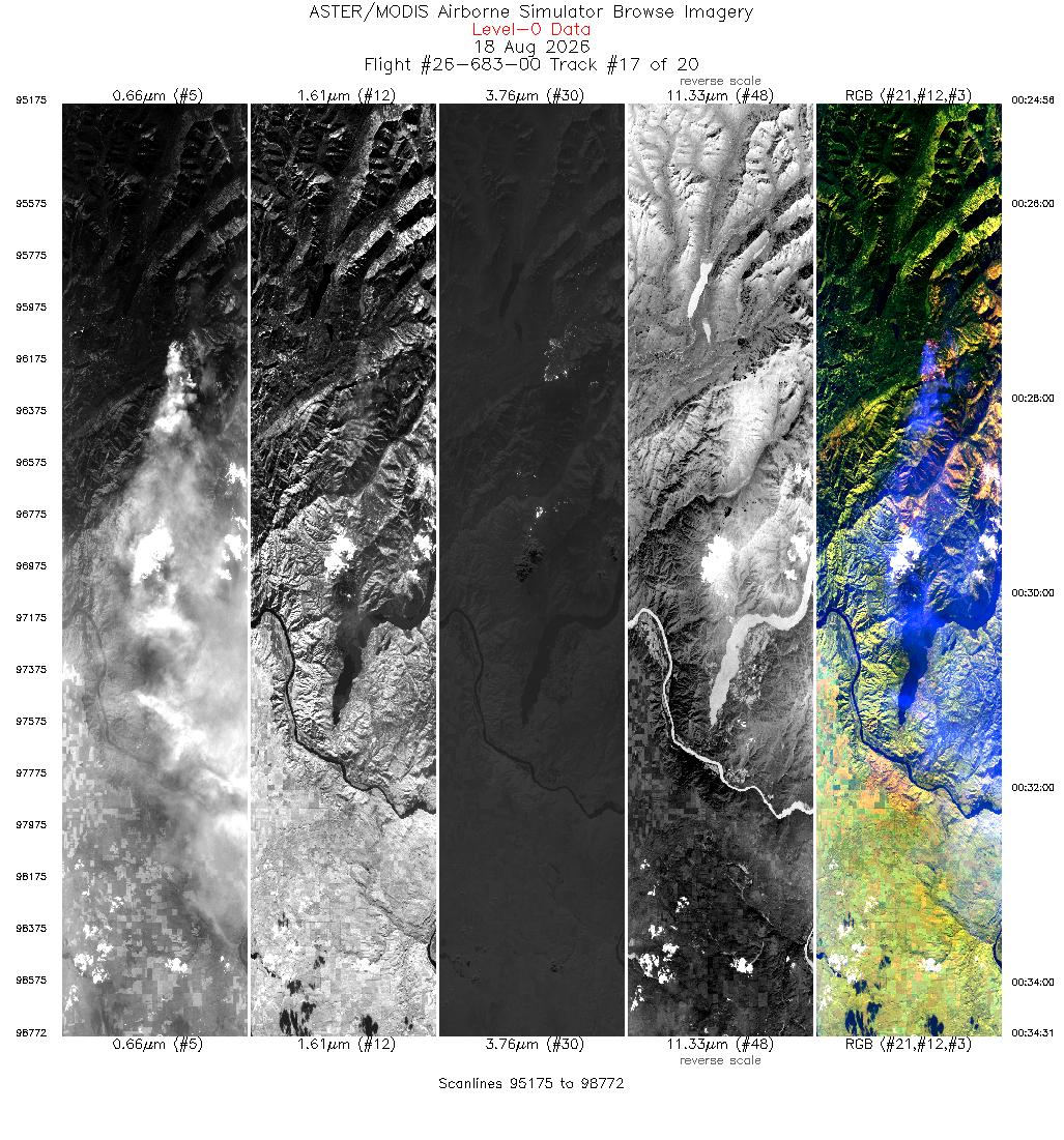
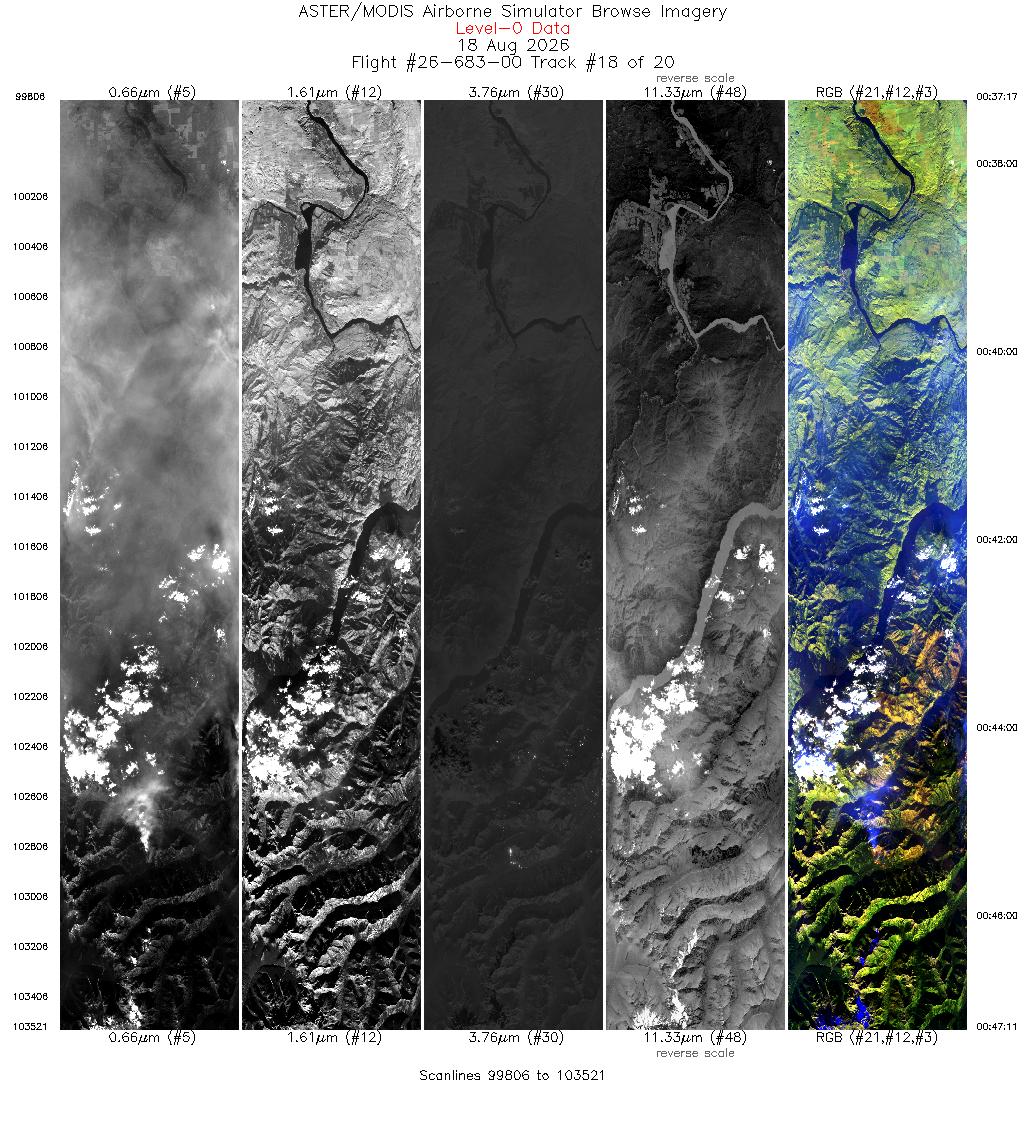
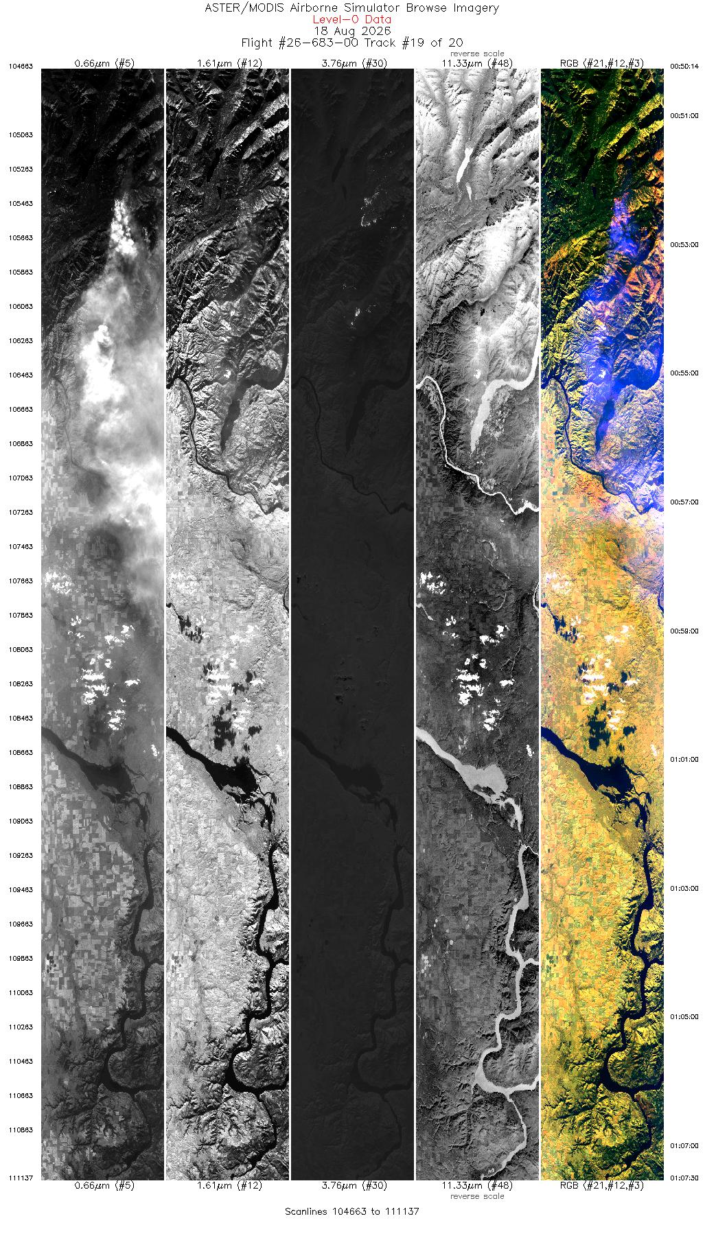
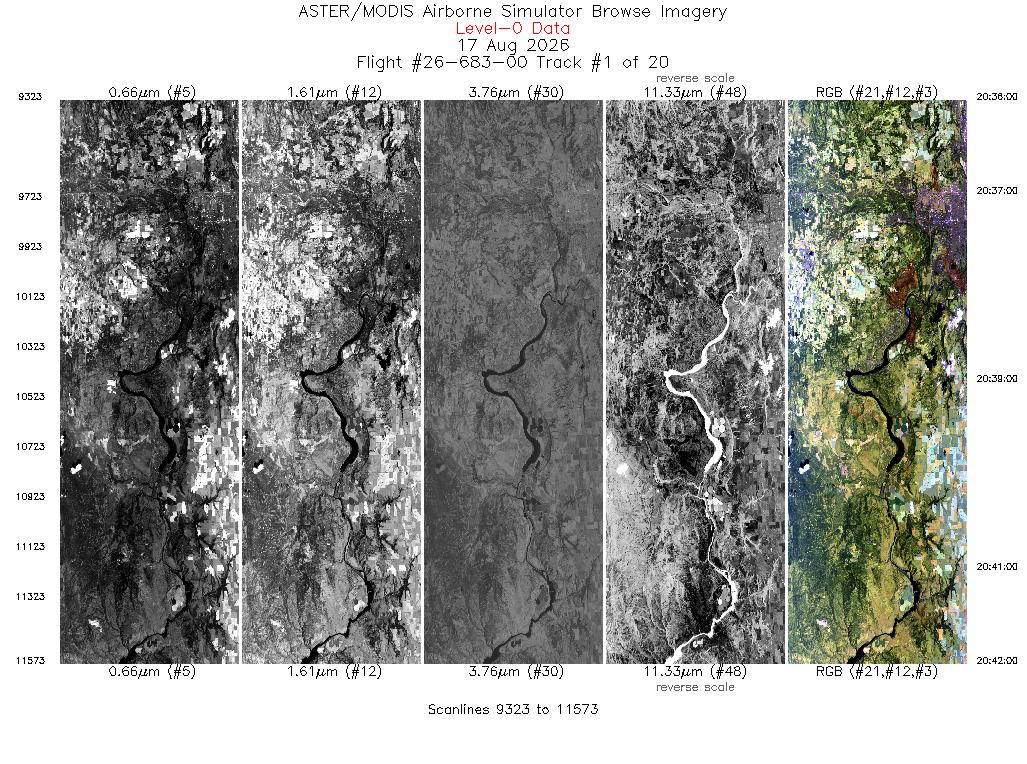
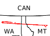 Flight: 26-683-00
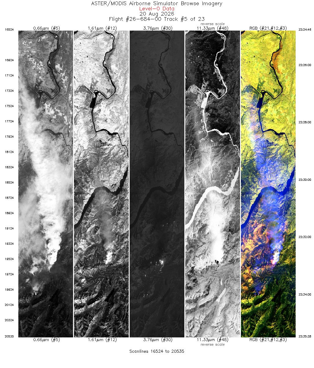
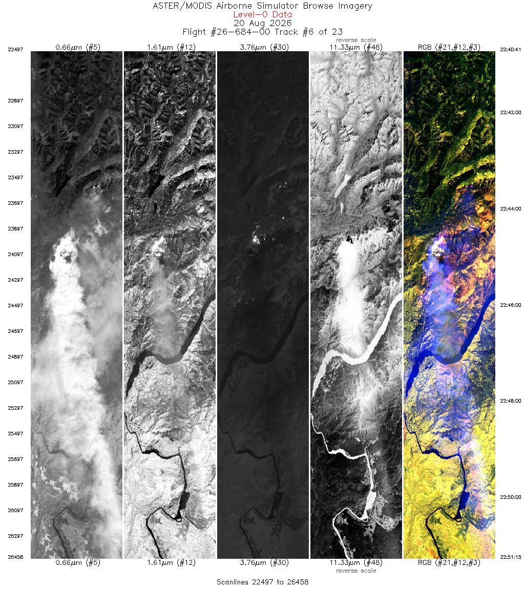
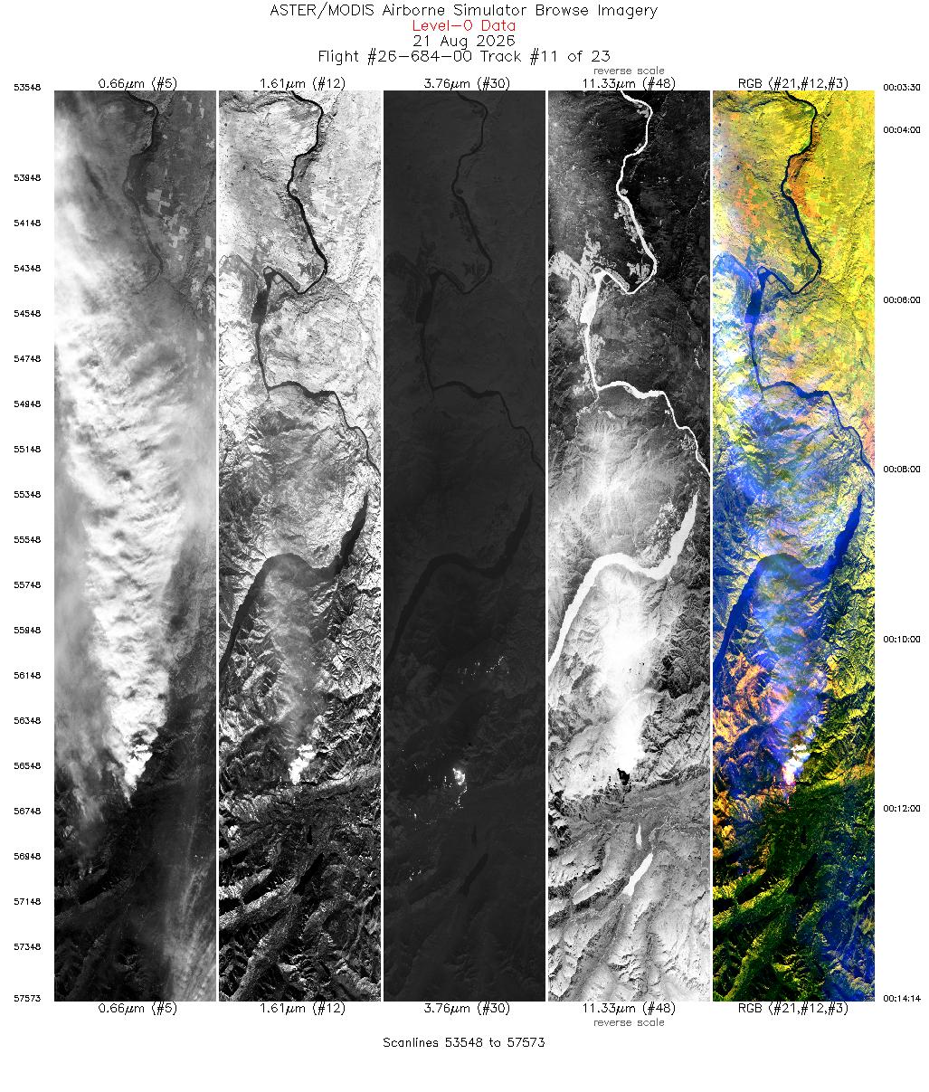
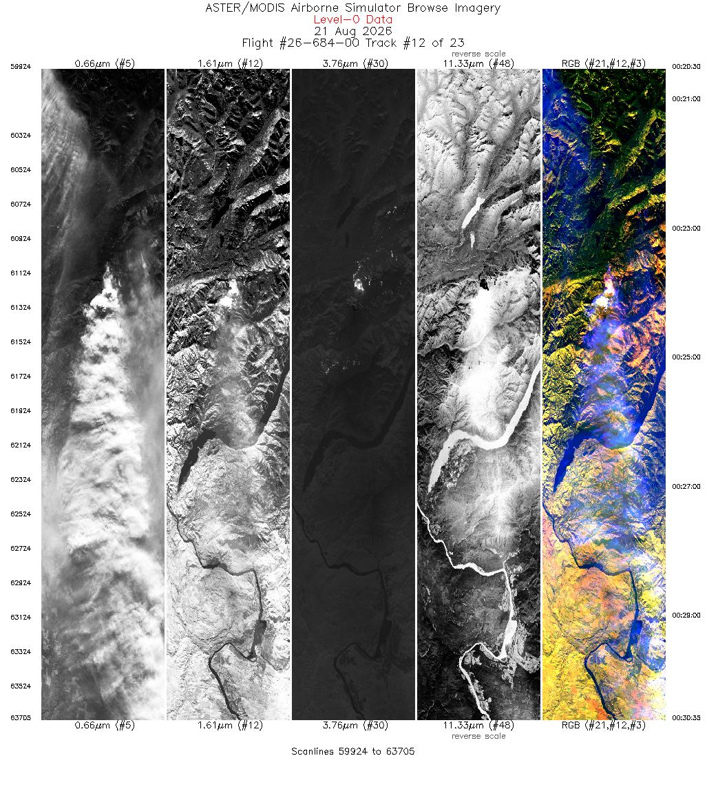
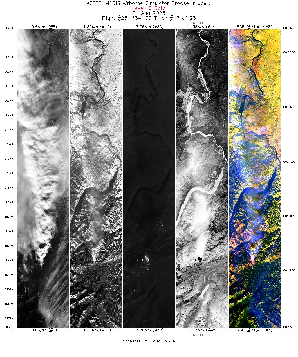
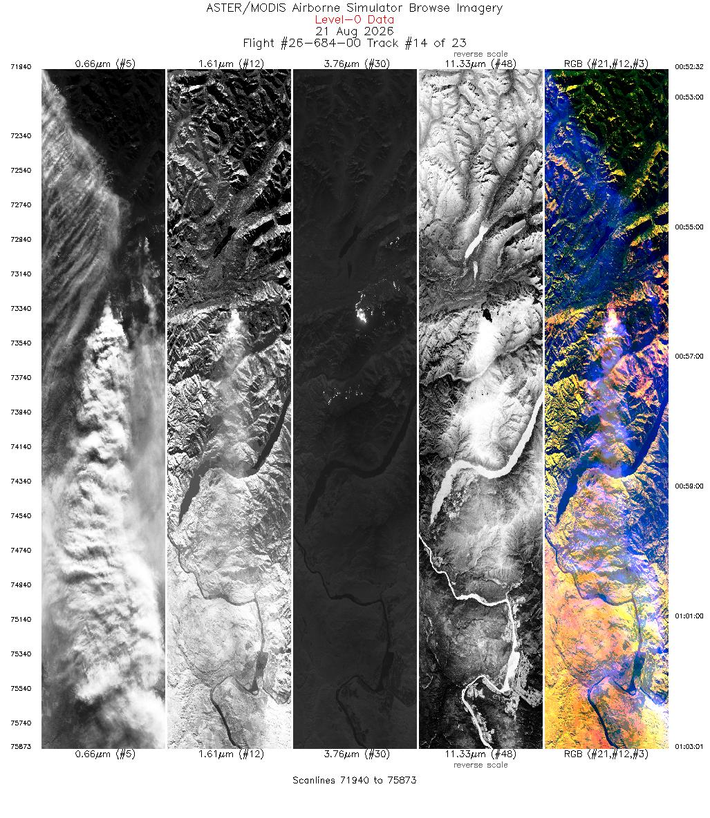
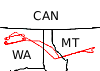 Flight: 26-684-00
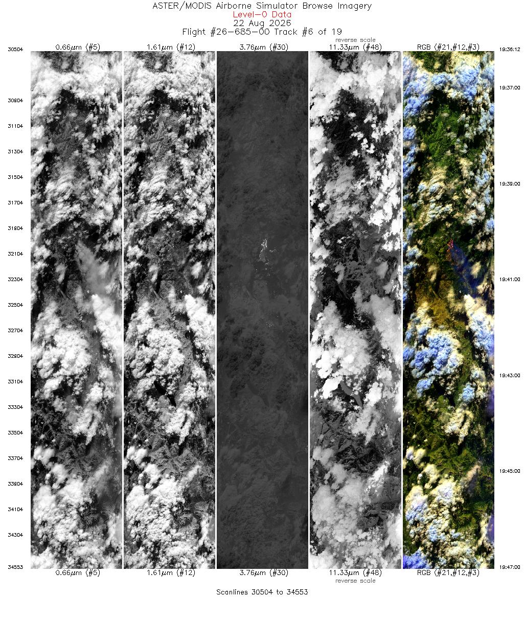
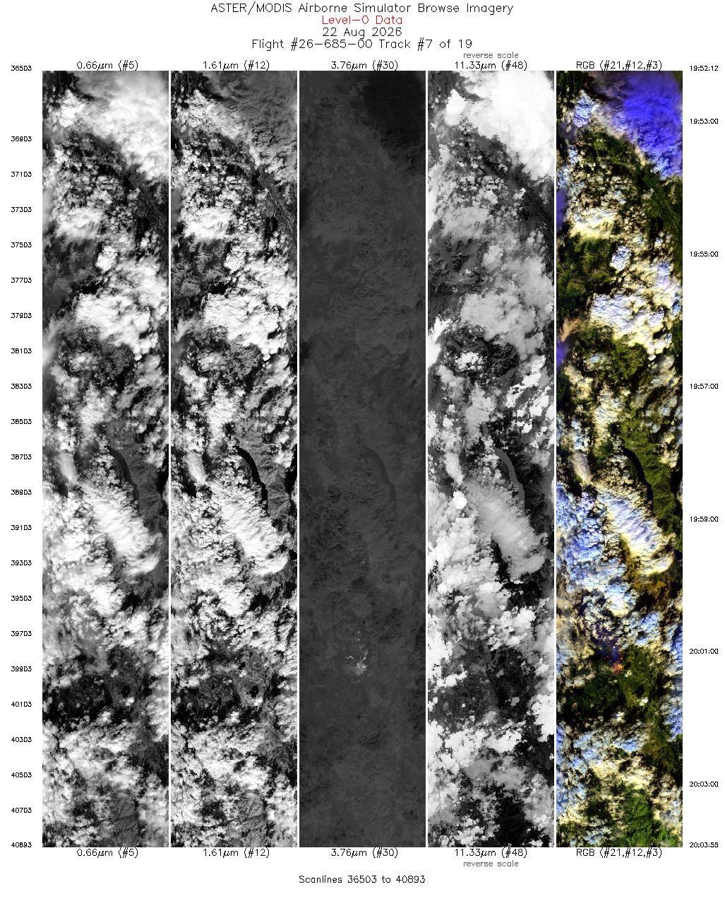
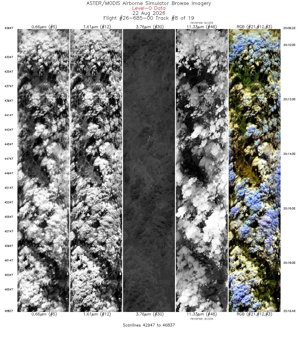
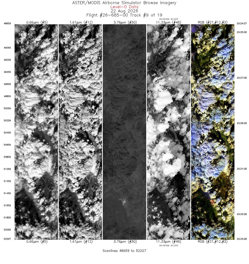
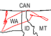 Flight: 26-685-00
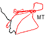 Flight: 26-686-00
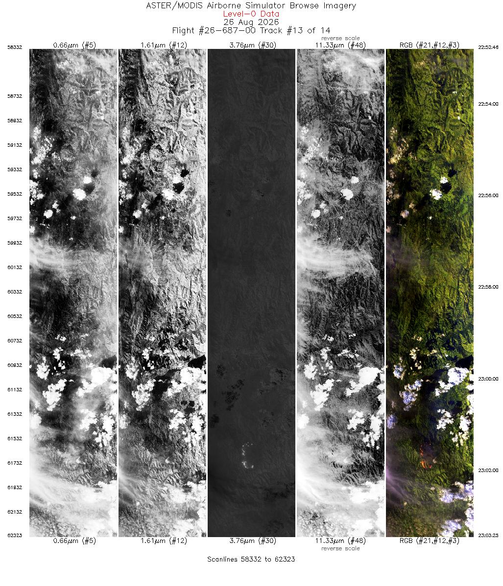
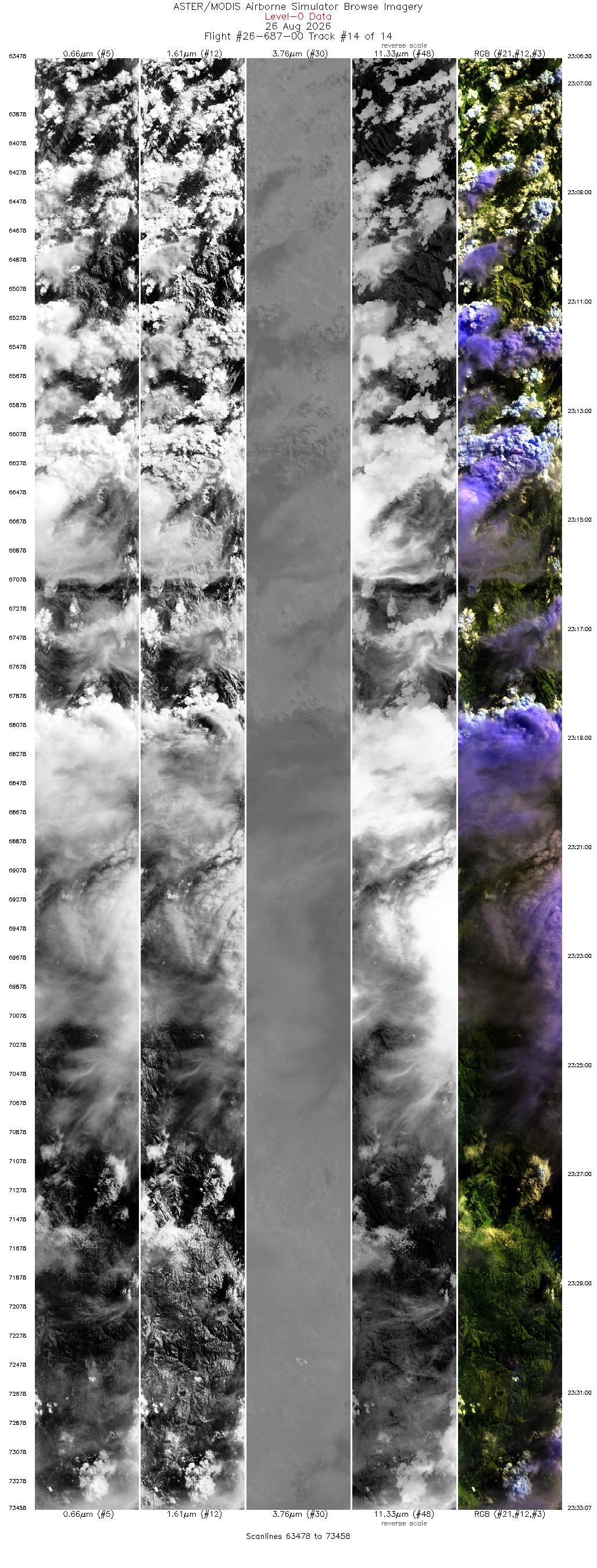
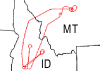 Flight: 26-687-00
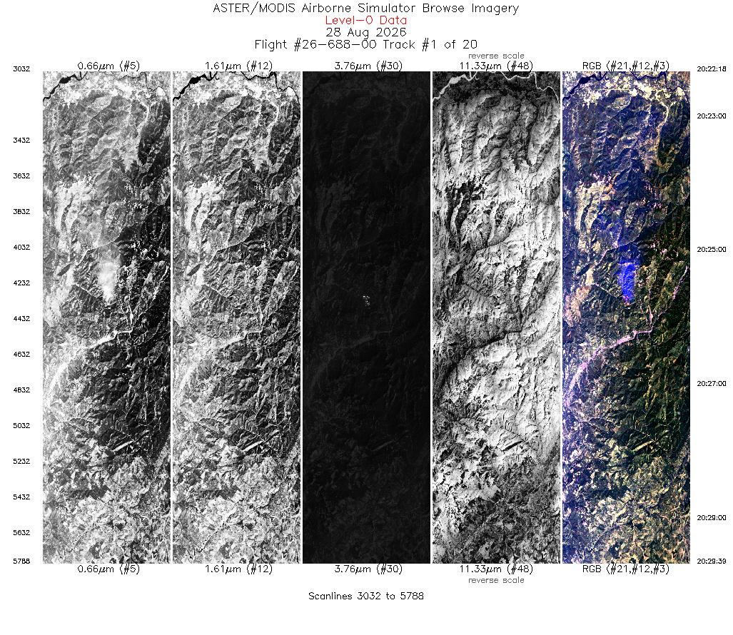
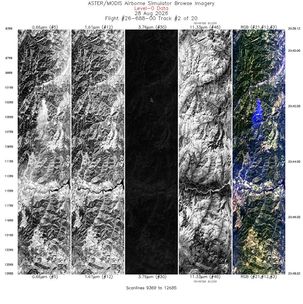
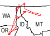 Flight: 26-688-00
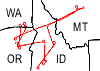 Flight: 26-689-00
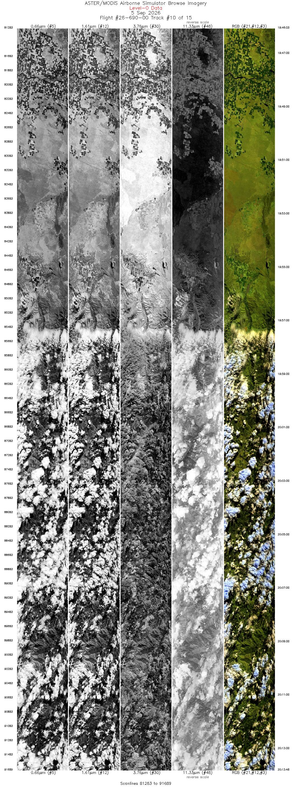
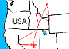 Flight: 26-690-00
 Flight: 26-691-00
 Flight: 26-692-00
INSPYRE 2026







| Sample Imagery |
| Click image for full resolution |
|
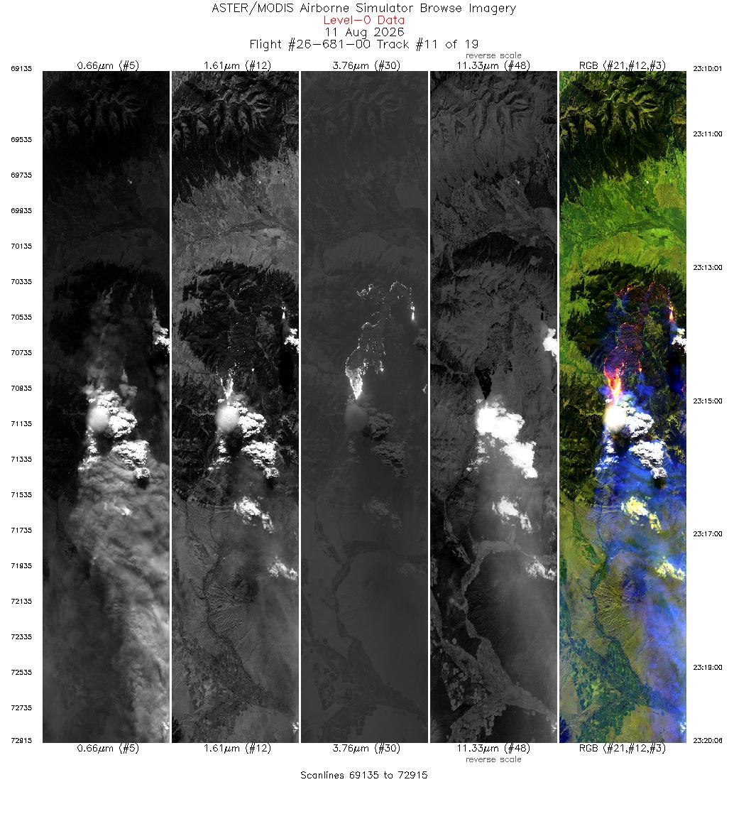
Flight: 26-681-00 Track: #11 Sand Creek Fire, MT |


|
|
R: 2.13µm G: 1.61µm B: 0.47µm |
| Sample Imagery |
| Click image for full resolution |
|
Flight: 26-685-00 Track: #04 Colwash Fire, WA |
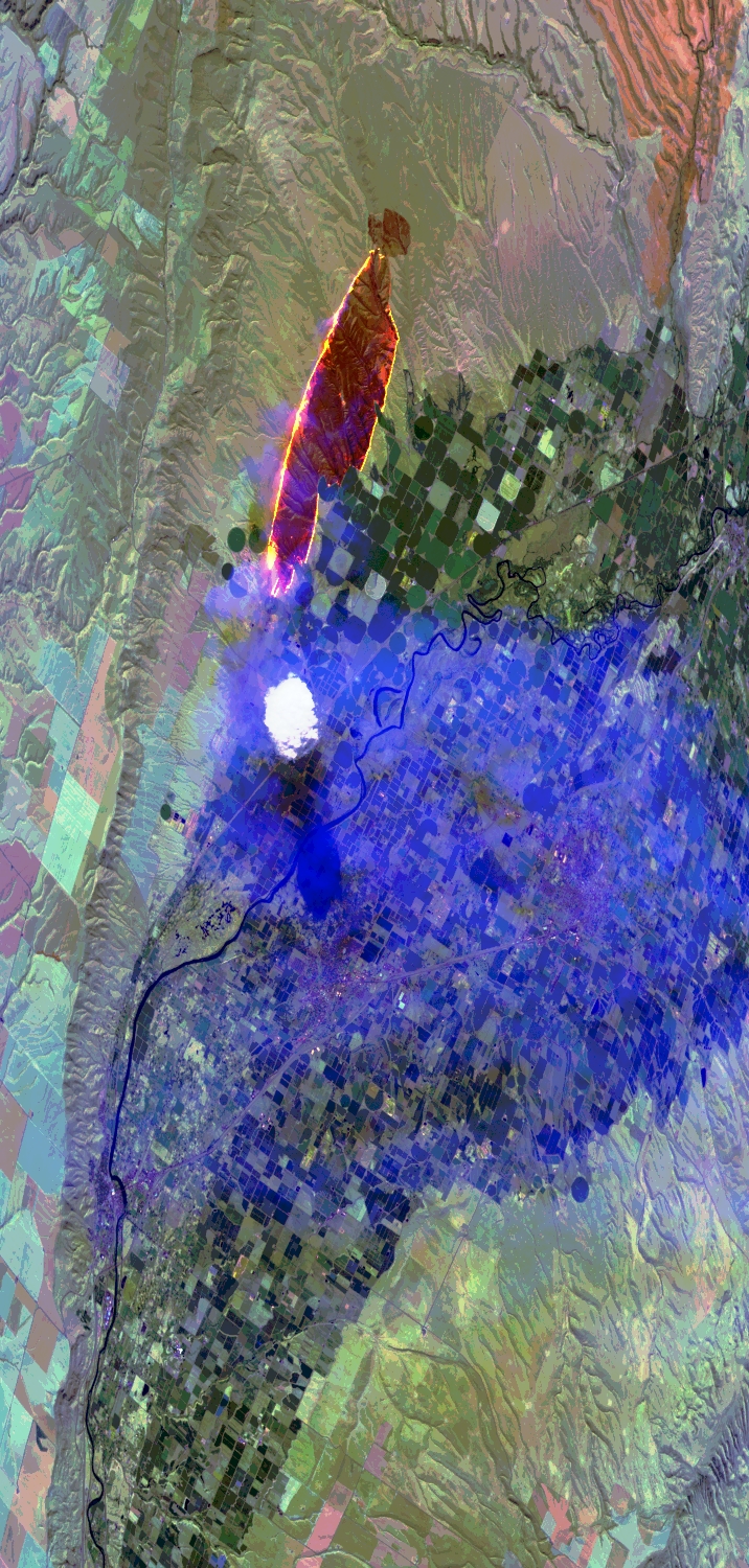
|
|
R: 2.13µm G: 1.61µm B: 0.47µm |
| Sample Imagery |
| Click image for full resolution |
|
Flight: 26-679-00 Track: #12 Widemouth2 Fire, UT |
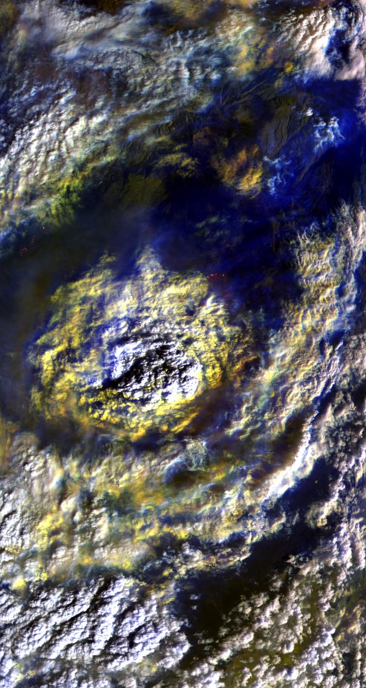
|
|
R: 2.13µm G: 1.61µm B: 0.47µm |