


MODIS Airborne Simulator (MAS)
FLIGHT SUMMARY INFORMATION
Flight Track Map


|
Flight: 99-018 Date: 11 December 1998 Location: Southern California Deployment: DFRC December 1998 Principal Investigator: Conel (JPL) Additional Sensors: AirMISR, RC-10 (12" CIR) |
||||||||||||||||||||||||||||||||||||||||||||||||||||||||||||||||||||||||||||||||||||||||||||||||||||||||||||||||||||||||||||||
|
Data Evaluation Overall quality is good During the Dec 98 DFRC flights of the MAS instrument, channels 49 and 50 where accidentally transposed. This problem was not discovered until after the MAS instrument was returned to the Ames Research Center in early March, 1999 from TRMM-LBA deployment in Brazil. Therefore, bands are out of order, but the correct calilbration files have been applied. In essence, data users will see "channel 50 data" in the channel 49 position, and visa versa. |
||||||||||||||||||||||||||||||||||||||||||||||||||||||||||||||||||||||||||||||||||||||||||||||||||||||||||||||||||||||||||||||
|
Processing Information Level-1B Data in HDF format is available Flight Line Summary Spectral Band Configuration Spectral Response Function Table |
||||||||||||||||||||||||||||||||||||||||||||||||||||||||||||||||||||||||||||||||||||||||||||||||||||||||||||||||||||||||||||||
|
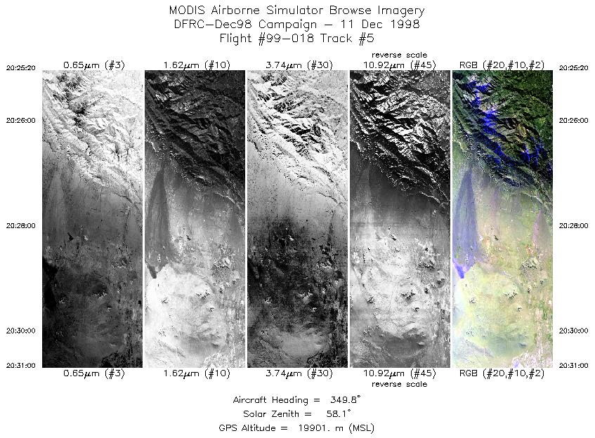
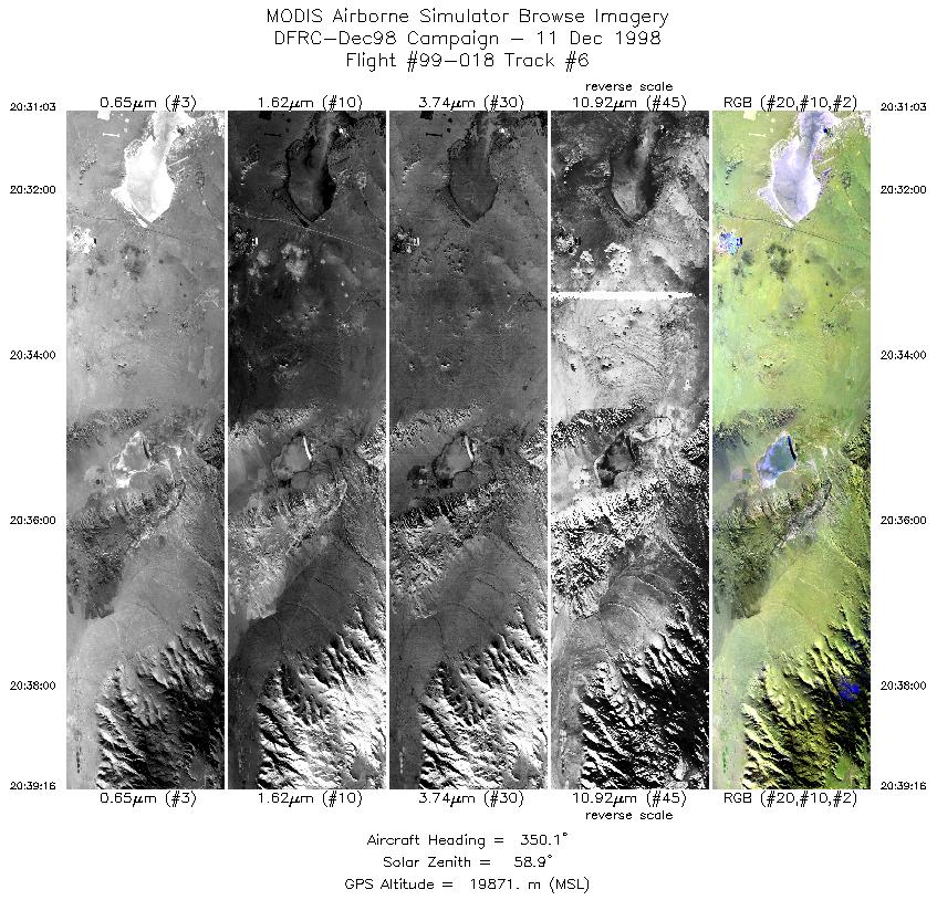
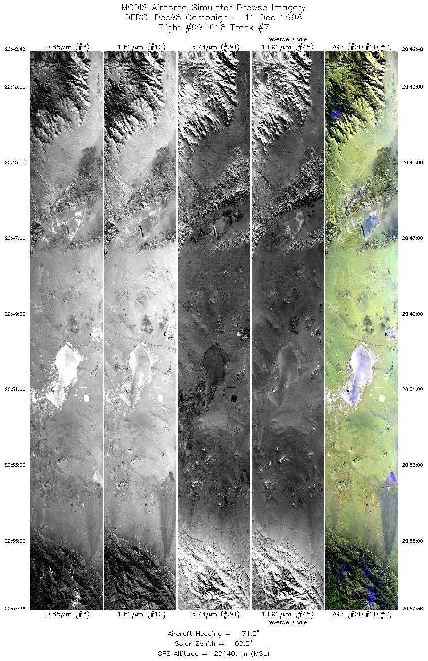
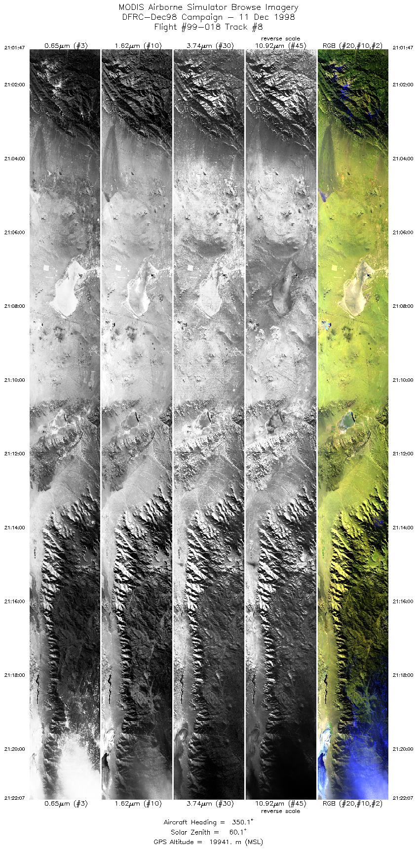
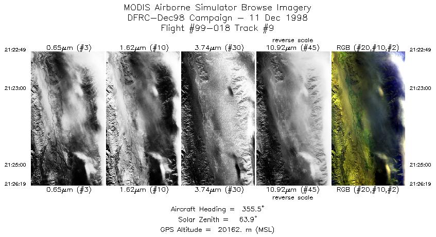
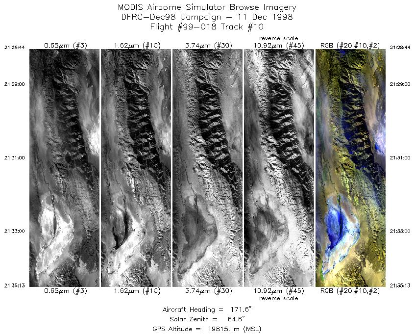
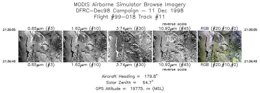
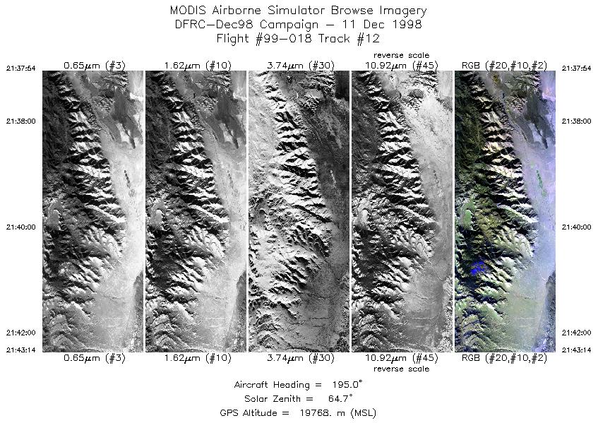
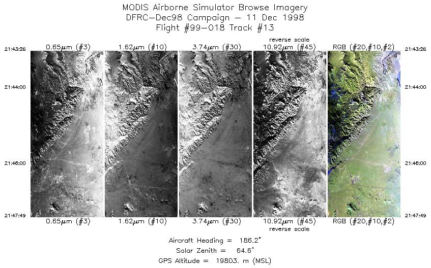
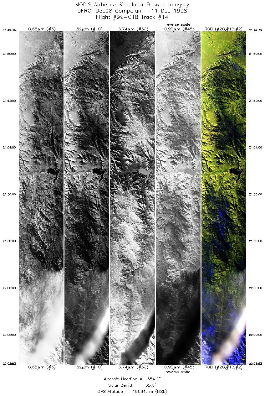
Browse Imagery Flight Tracks: 14 Scanlines: 48512 |
||||||||||||||||||||||||||||||||||||||||||||||||||||||||||||||||||||||||||||||||||||||||||||||||||||||||||||||||||||||||||||||
|
||||||||||||||||||||||||||||||||||||||||||||||||||||||||||||||||||||||||||||||||||||||||||||||||||||||||||||||||||||||||||||||

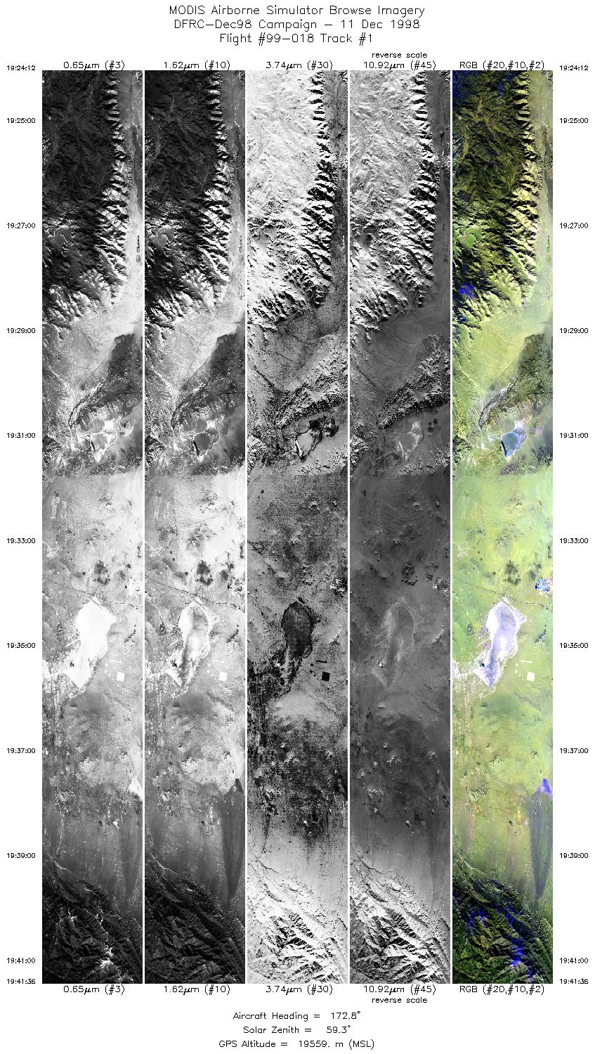
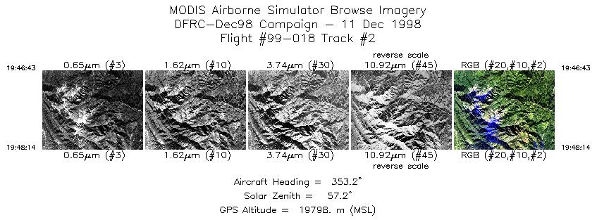
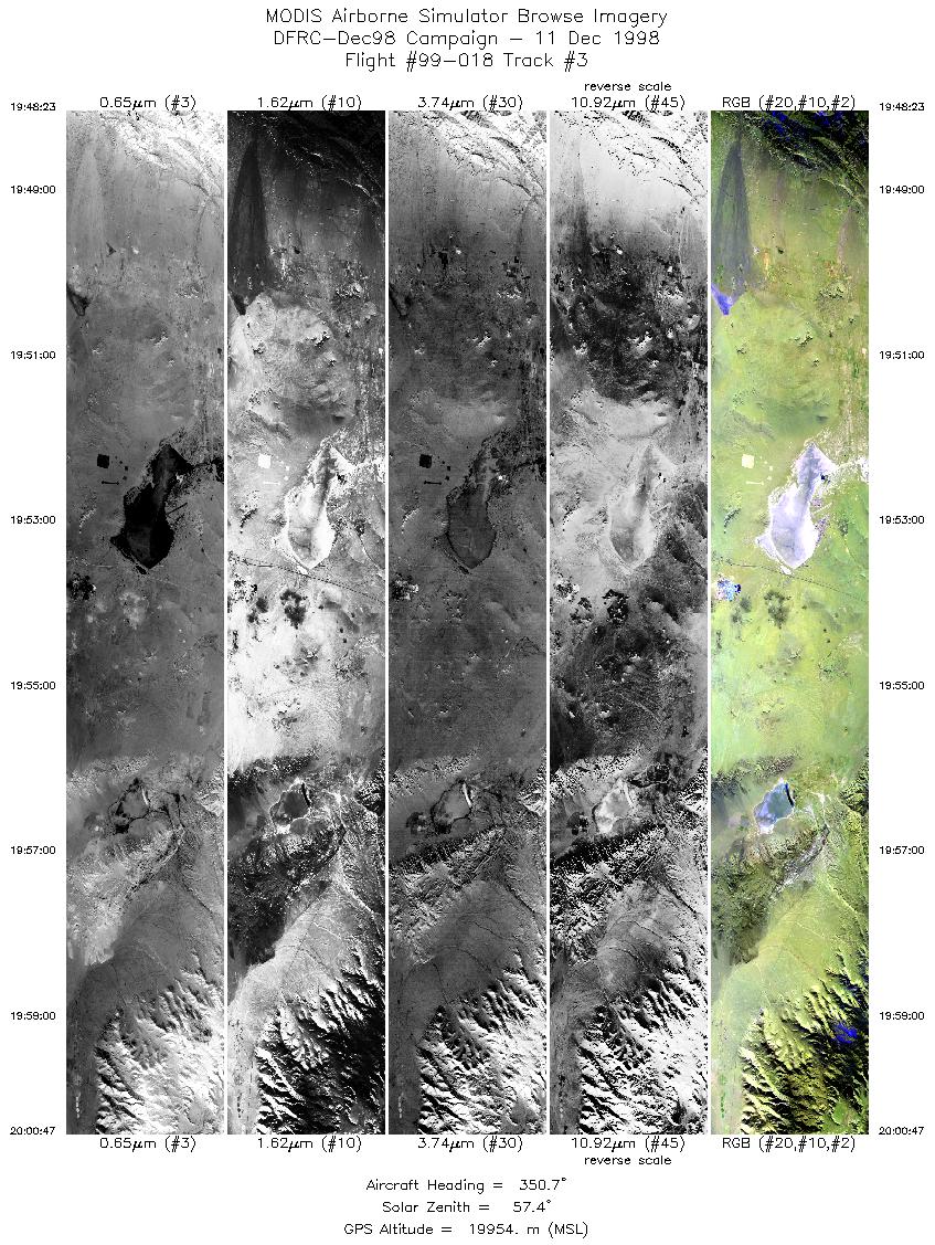
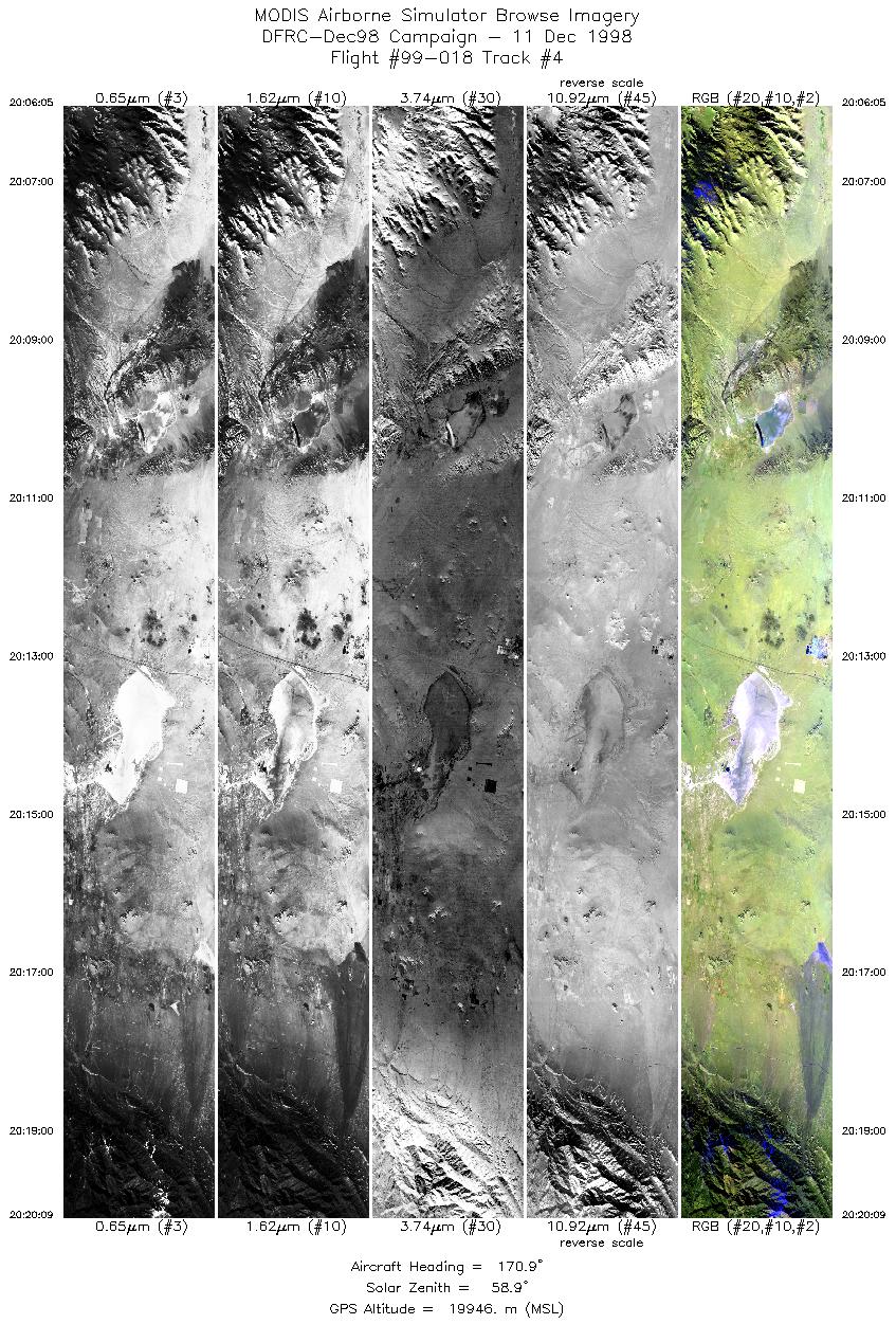
Flight 99-018


| Sample Imagery |
| Click image for full resolution |
|
Track #4 Antelope Valley, CA |


|
|
R: 2.13µm G: 1.62µm B: 0.55µm |
- NASA Official: Matt Fladeland
- Project Manager: James Jacobson
- Website Editor: Eric Fraim
- Last Updated: November 16, 2021


