


MODIS Airborne Simulator (MAS)
FLIGHT SUMMARY INFORMATION
Flight Track Map


|
Flight: 98-033 Date: 11 March 1998 Location: Death Valley / Mono Lake, CA (night) Deployment: DFRC March 1998 Principal Investigator: Wan (UCSB) Additional Sensors: |
|||||||||||||||||||||||||||||||||||||||||||||||||||||||||||||||||||||||||||||||||||||||||||
|
Data Evaluation Overall quality is fair Some 400 Htz noise noted, as well as some brush noise Sample one appears to be invalid throughout the data set Channel 43 data appears to be corrupted early in flight |
|||||||||||||||||||||||||||||||||||||||||||||||||||||||||||||||||||||||||||||||||||||||||||
|
Processing Information Level-1B Data in HDF format is available Flight Line Summary Spectral Band Configuration Spectral Response Function Table |
|||||||||||||||||||||||||||||||||||||||||||||||||||||||||||||||||||||||||||||||||||||||||||
|
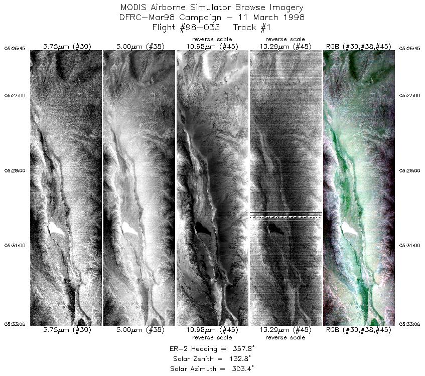
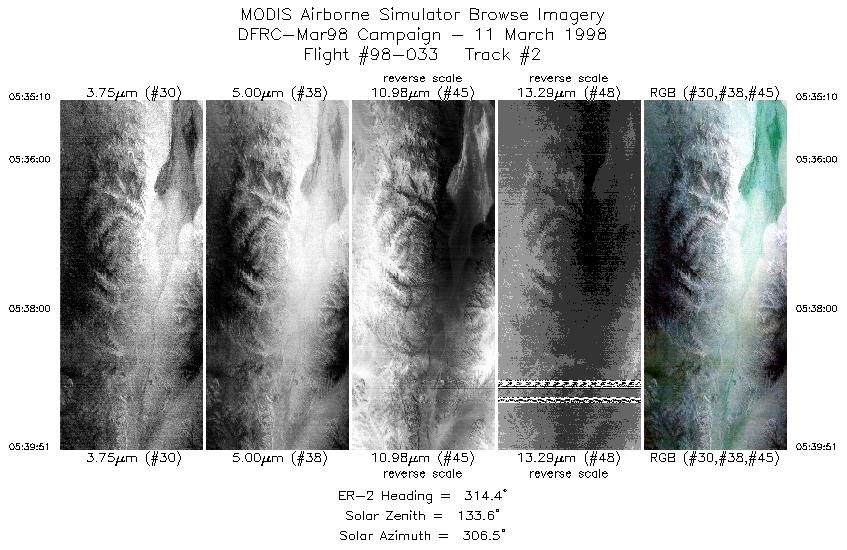
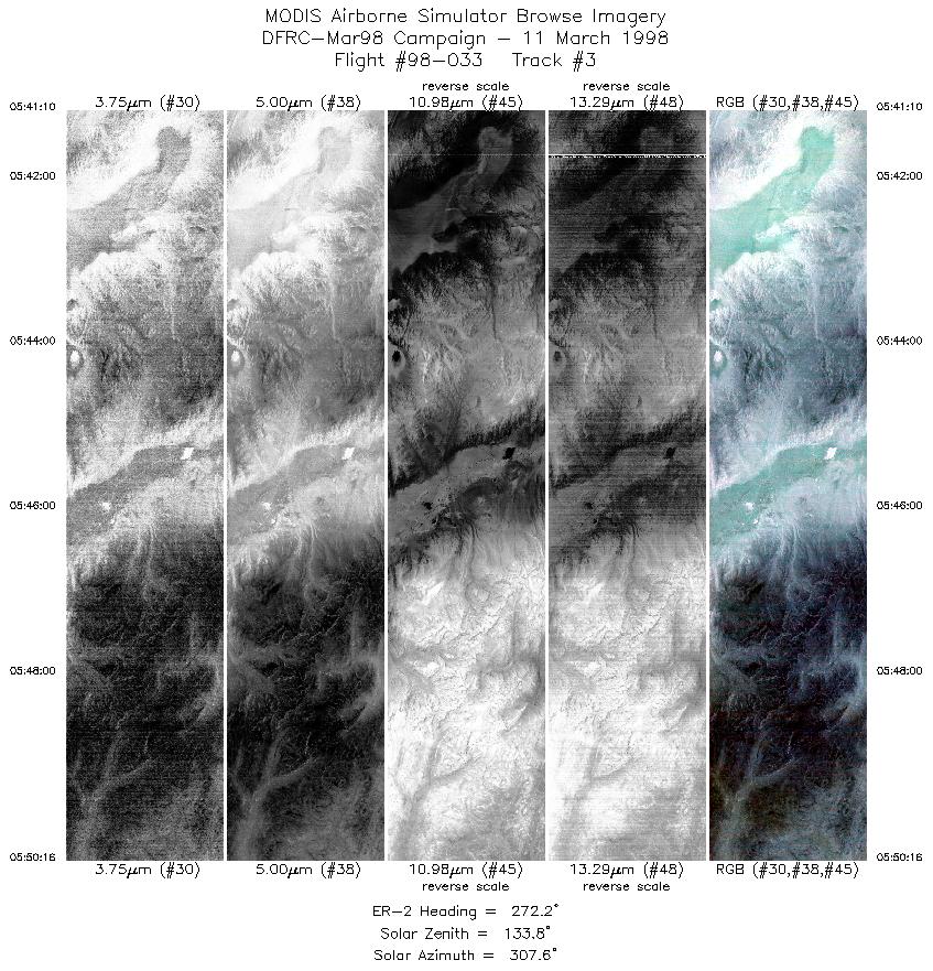
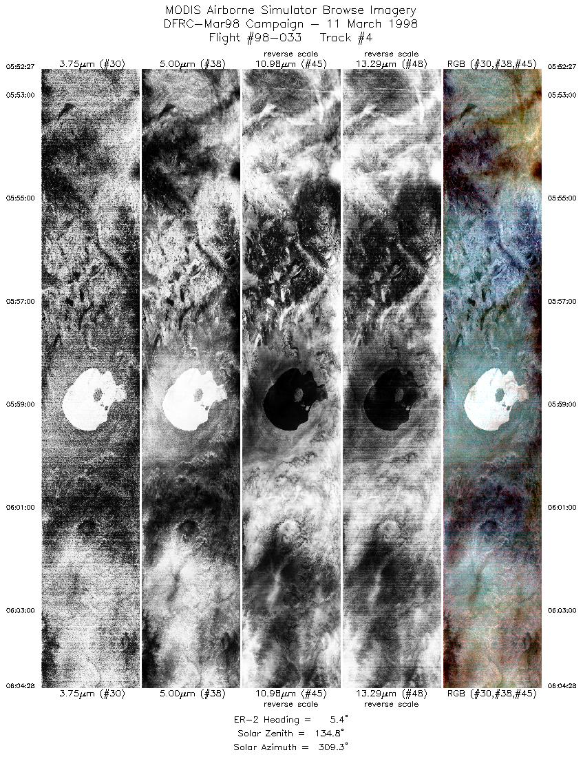
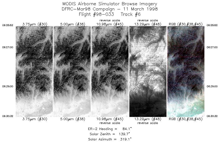
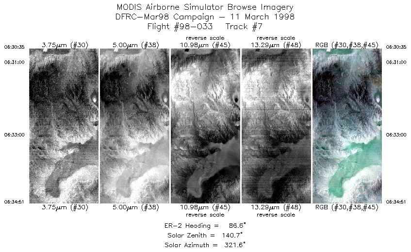
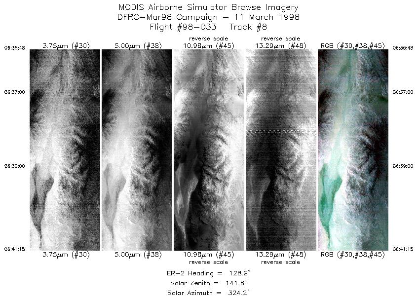
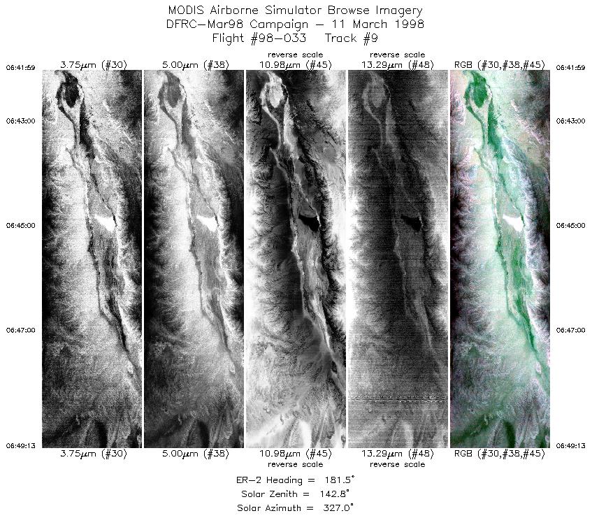
Browse Imagery Flight Tracks: 9 Scanlines: 25292 |
|||||||||||||||||||||||||||||||||||||||||||||||||||||||||||||||||||||||||||||||||||||||||||
|
|||||||||||||||||||||||||||||||||||||||||||||||||||||||||||||||||||||||||||||||||||||||||||

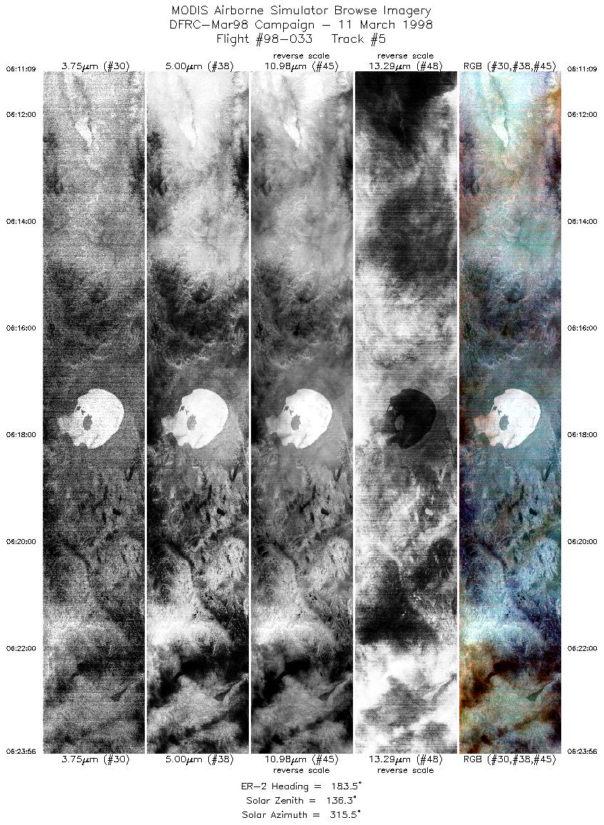
Flight 98-033


| Sample Imagery |
| Click image for full resolution |
|
Track #5 Mono Lake, CA |


|
|
R: 3.73µm G: 4.99µm B: 10.99µm |
- NASA Official: Matt Fladeland
- Project Manager: James Jacobson
- Website Editor: Eric Fraim
- Last Updated: November 16, 2021


