


MODIS Airborne Simulator (MAS)
FLIGHT SUMMARY INFORMATION
Flight Track Map


|
Flight: 98-031 Date: 9 March 1998 Location: Channel Islands / Santa Barbara Channel, CA Deployment: DFRC March 1998 Principal Investigator: Functional Check Flight Additional Sensors: |
||||||||||||||||||||||||||||||||||||||||||||||||||||||||||||||||||||||
|
Data Evaluation Overall quality is fair Early pressure blowoffs, resulting in voltage transients (stabilized later in flight) Radio noise and brush noise (200 Hz noise) noted midflight The analog offset of channel 48 is fixed at 1024 Significant horizontal banding in upper Port 4 channels |
||||||||||||||||||||||||||||||||||||||||||||||||||||||||||||||||||||||
|
Processing Information Level-1B Data in HDF format is available Flight Line Summary Spectral Band Configuration Spectral Response Function Table |
||||||||||||||||||||||||||||||||||||||||||||||||||||||||||||||||||||||
|
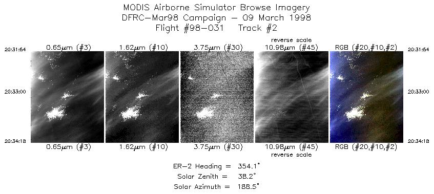
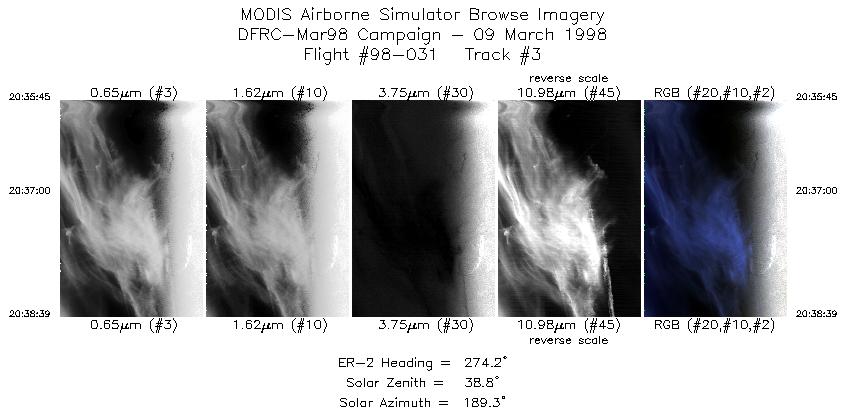
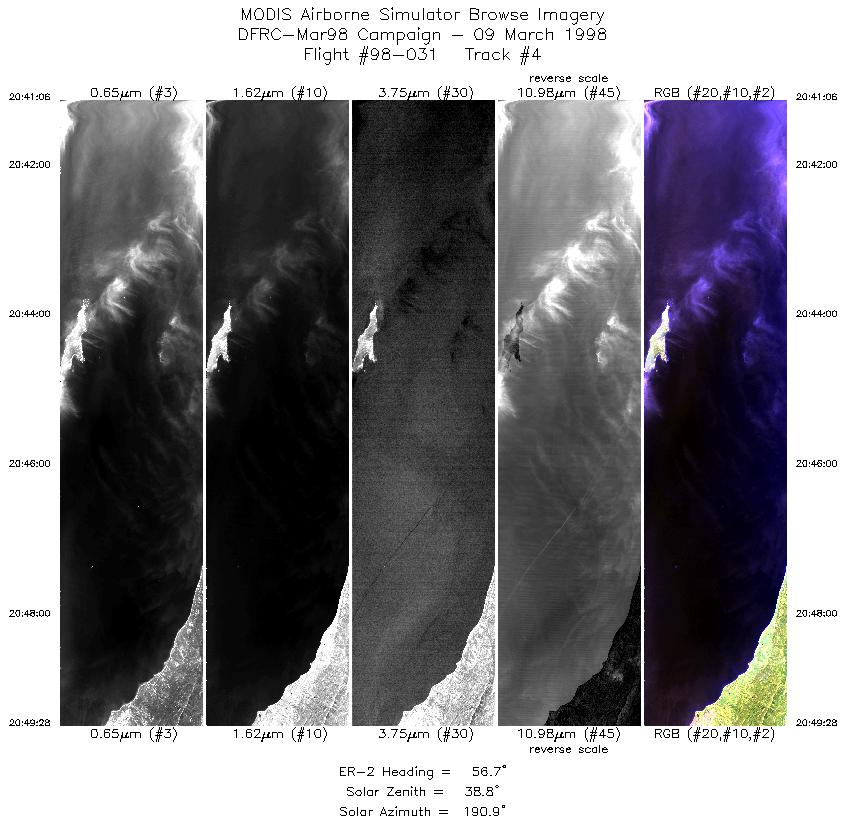
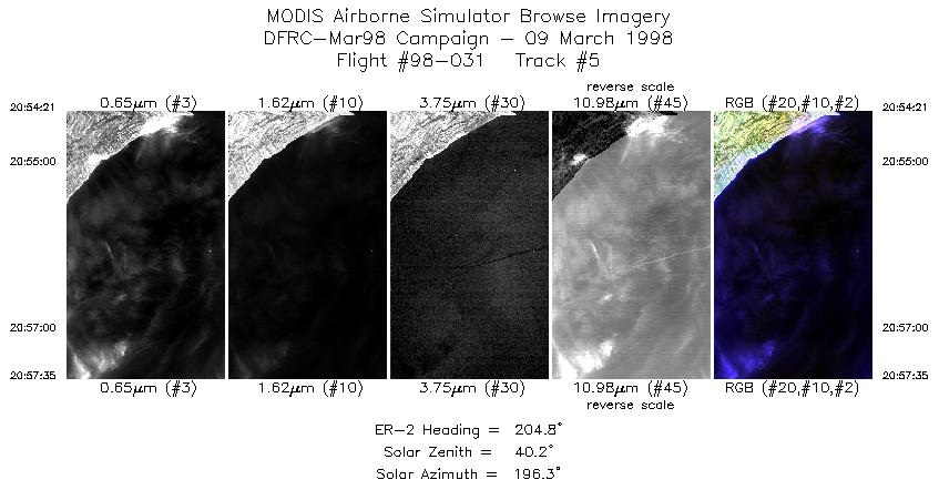
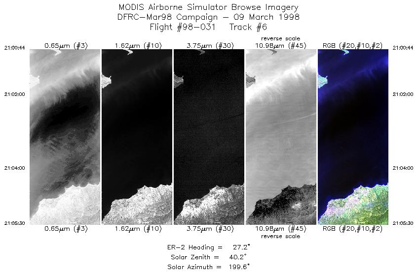
Browse Imagery Flight Tracks: 6 Scanlines: 11406 |
||||||||||||||||||||||||||||||||||||||||||||||||||||||||||||||||||||||
|
||||||||||||||||||||||||||||||||||||||||||||||||||||||||||||||||||||||

Flight 98-031


| Sample Imagery |
| Click image for full resolution |
|
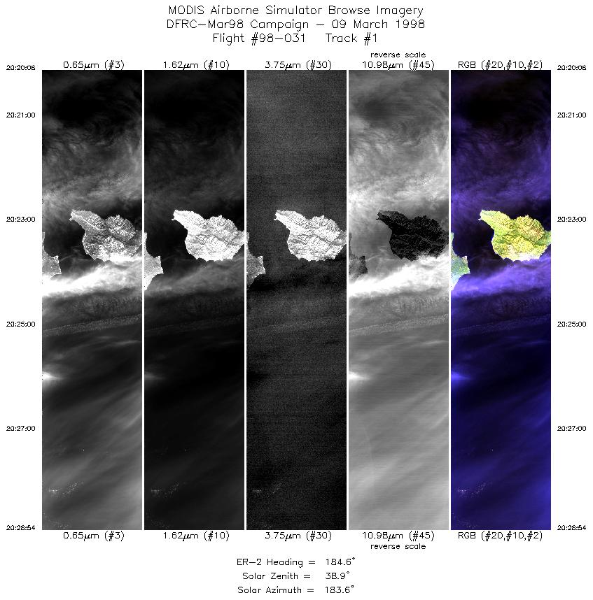
Track #1 Santa Cruz Island, CA |


|
|
R: 2.13µm G: 1.62µm B: 0.55µm |
- NASA Official: Matt Fladeland
- Project Manager: James Jacobson
- Website Editor: Eric Fraim
- Last Updated: November 16, 2021


