


MODIS Airborne Simulator (MAS)
FLIGHT SUMMARY INFORMATION
Flight Track Map


|
Flight: 04-920 Date: 09 April 2004 Location: S.F. Bay Area / Lake Tahoe, CA (night) Deployment: DFRC April 2004 Principal Investigators: Moeller (SSEC/CIMSS), Hook (JPL) Additional Sensors: MASTER, SHIS |
|||||||||||||||||||||||||||||||||||||||||||||||||||||||||||||||||||||||||||||||||||||||||||||||||||||||||||||||||||||||||||||||||||||
|
Data Evaluation Overall quality is good |
|||||||||||||||||||||||||||||||||||||||||||||||||||||||||||||||||||||||||||||||||||||||||||||||||||||||||||||||||||||||||||||||||||||
|
Processing Information Level-1B Data in HDF format is available Flight Line Summary Spectral Band Configuration Spectral Response Function Table |
|||||||||||||||||||||||||||||||||||||||||||||||||||||||||||||||||||||||||||||||||||||||||||||||||||||||||||||||||||||||||||||||||||||
|
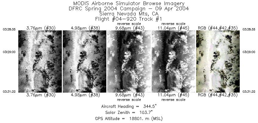
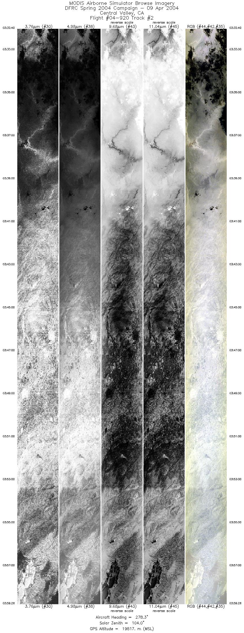
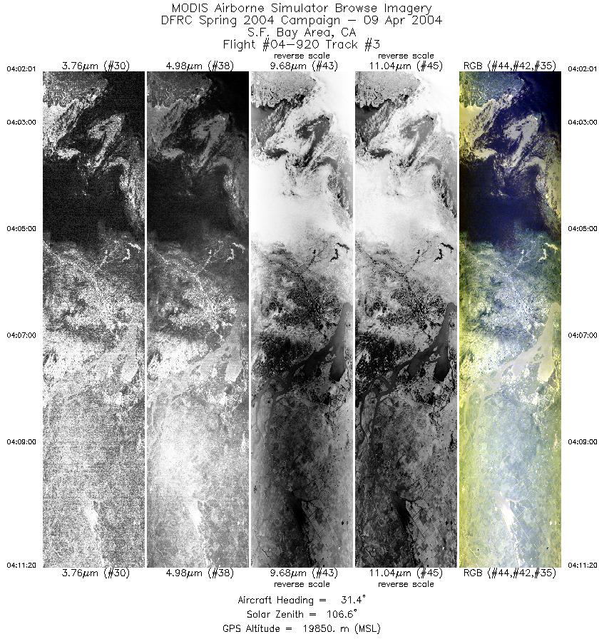
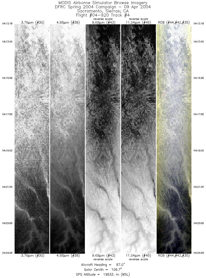
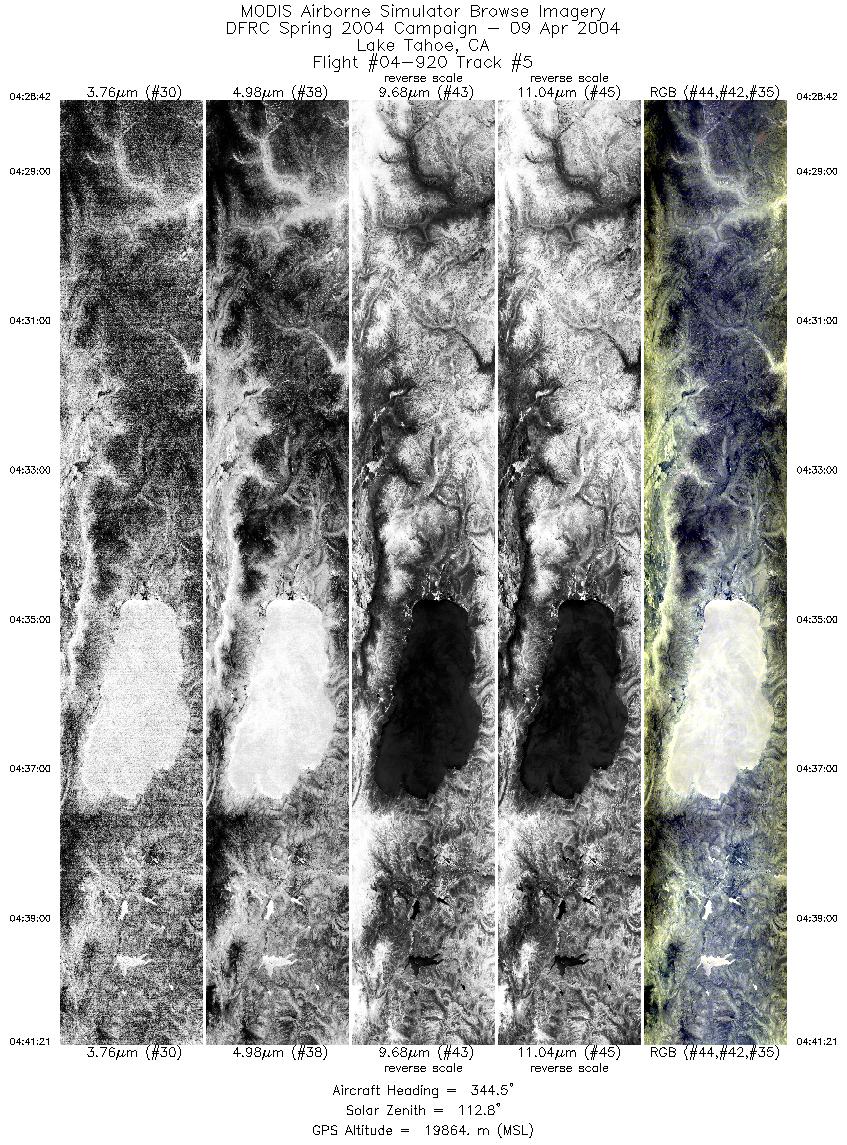
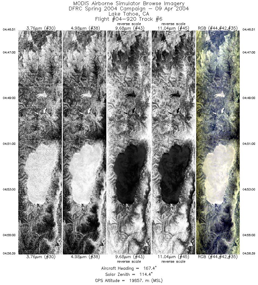
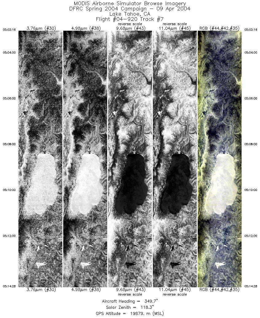
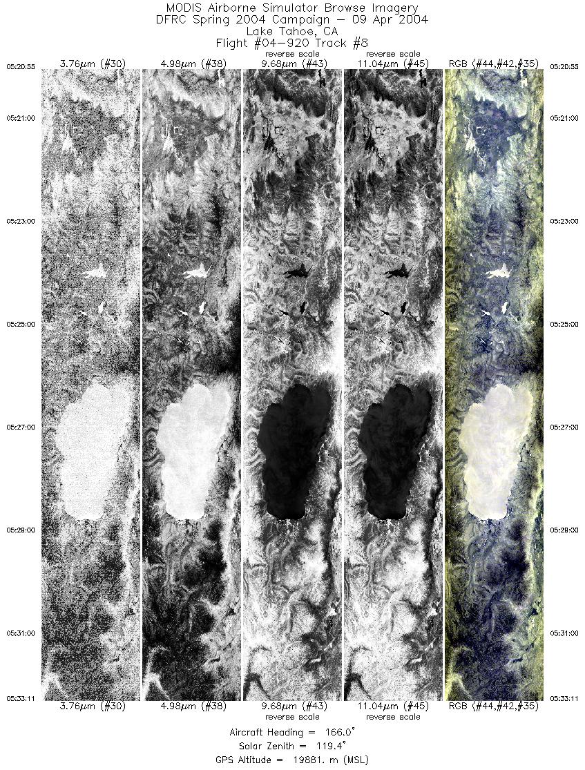
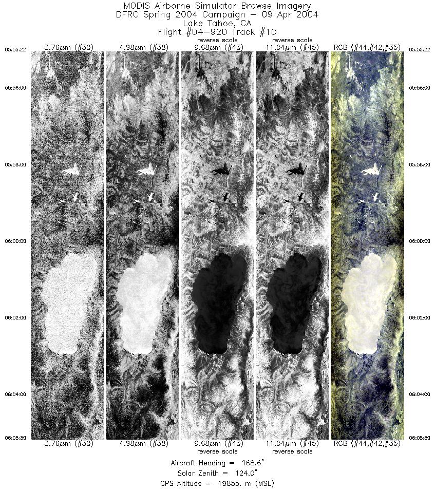
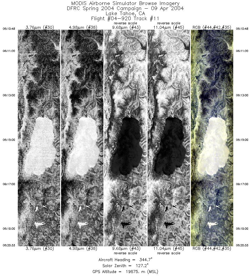
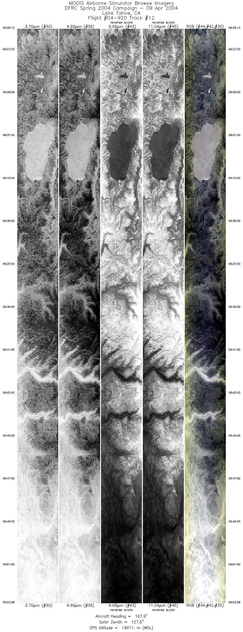
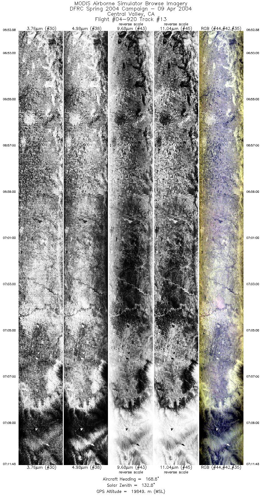
Browse Imagery Flight Tracks: 15 Scanlines: 72084 |
|||||||||||||||||||||||||||||||||||||||||||||||||||||||||||||||||||||||||||||||||||||||||||||||||||||||||||||||||||||||||||||||||||||
|
|||||||||||||||||||||||||||||||||||||||||||||||||||||||||||||||||||||||||||||||||||||||||||||||||||||||||||||||||||||||||||||||||||||
Flight Summary
ER-2 Flight: 04-9020
Date: April 08-09, 2004
Mission: Nighttime Landsat7 (ETM+) and Terra (MODIS, ASTER) clear sky L1B validation.
Mission Objectives
Collect clear sky observations from ER-2 of Lake Tahoe with Landsat7 (0533 UTC) and Terra (0601 UTC) overhead. Compare SHIS, MAS, and MASTER with Simon Hook's Lake Tahoe surface network. Overfly Roger's Dry Lakebed at Edwards AFB to document surface conditions.
Flight Summary
Take-off on schedule at 0300 UTC. ER-2 landed at 0810 UTC.
ER-2 flew from Edwards AFB towards Lake Tahoe, taking a slightly circuitous path through Woodside (OSI) and Sacramento (SAC) so that the SHIS, MAS and MASTER instruments were collecting data at altitude for about 1 hour before collecting data over Lake Tahoe. At Lake Tahoe, the aircraft flew back and forth along a single 8 minute line oriented parallel to the Landsat7 and Terra orbital tracks. View angle from the satellites to Lake Tahoe were about 4.5° off nadir. A total of 8 runs over Lake Tahoe were flown, meeting Landsat7 near the end of the 4th run and Terra at about midpoint on the 6th run. Skies were clear during all overpasses. The ER-2 then transited back in clear skies to Edwards AFB, where it flew a back and forth over Roger's Dry Lakebed before beginning descent. Scenes over the lakebed may include some cloud on both passes, but difficult to determine on first review.
Highlights
Co-incident ER-2 (SHIS, MAS, MASTER) with Landsat7, and ER-2 with Terra (MODIS, ASTER) clear sky data scenes over L. Tahoe with Simon Hook's surface based radiometers viewing lake surface.
Coordination
ER-2 met Landsat7 about 4.5° view angle off nadir at 0533 UTC. ER-2 met Terra about 4.5° view angle off nadir at 0601 UTC. All Tahoe legs include coverage with Simon Hook's surface based downlooking radiometer network
4 buoy sites:
- 39° 09.180´N, 120° 00.020´W
- 39° 06.562´N, 120° 00.645´W
- 39° 06.612´N, 120° 04.521´W
- 39° 09.300´N, 120° 04.330´W
Notes:
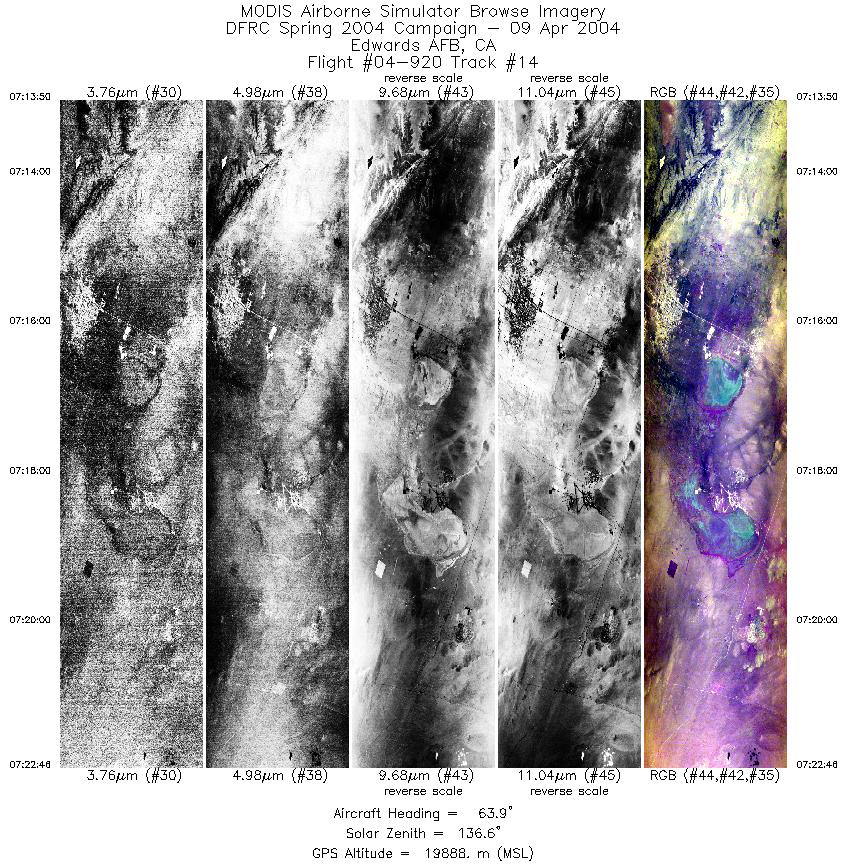
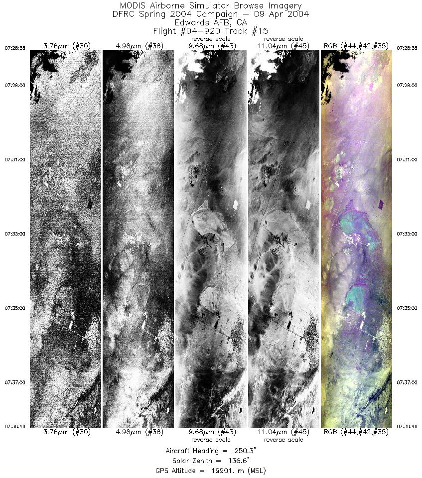
Roger's Dry Lakebed surface is reported to be wet, with some standing water and wet soil.
Instrument Status
- MODIS Airborne Simulator (MAS): Operated. Good data.
- MODIS/ASTER simulator (MASTER): Operated. Good data. Some scan line dropouts reported due to data storage problem.
- Scanning High-Resolution Interferometer Sounder (SHIS): Operated. Good data.
Additional Pilot Notes:
All scenes appeared to be clear sky. No fail lights. Excellent flight. Some light turbulence on Roger's Dry lakebed legs.

Flight 04-920


| Sample Imagery |
| Click image for full resolution |
|
Track #06 Lake Tahoe, CA |


|
|
R: 10.51µm G: 8.54µm B: 4.54µm |
- NASA Official: Matt Fladeland
- Project Manager: James Jacobson
- Website Editor: Eric Fraim
- Last Updated: November 16, 2021


