


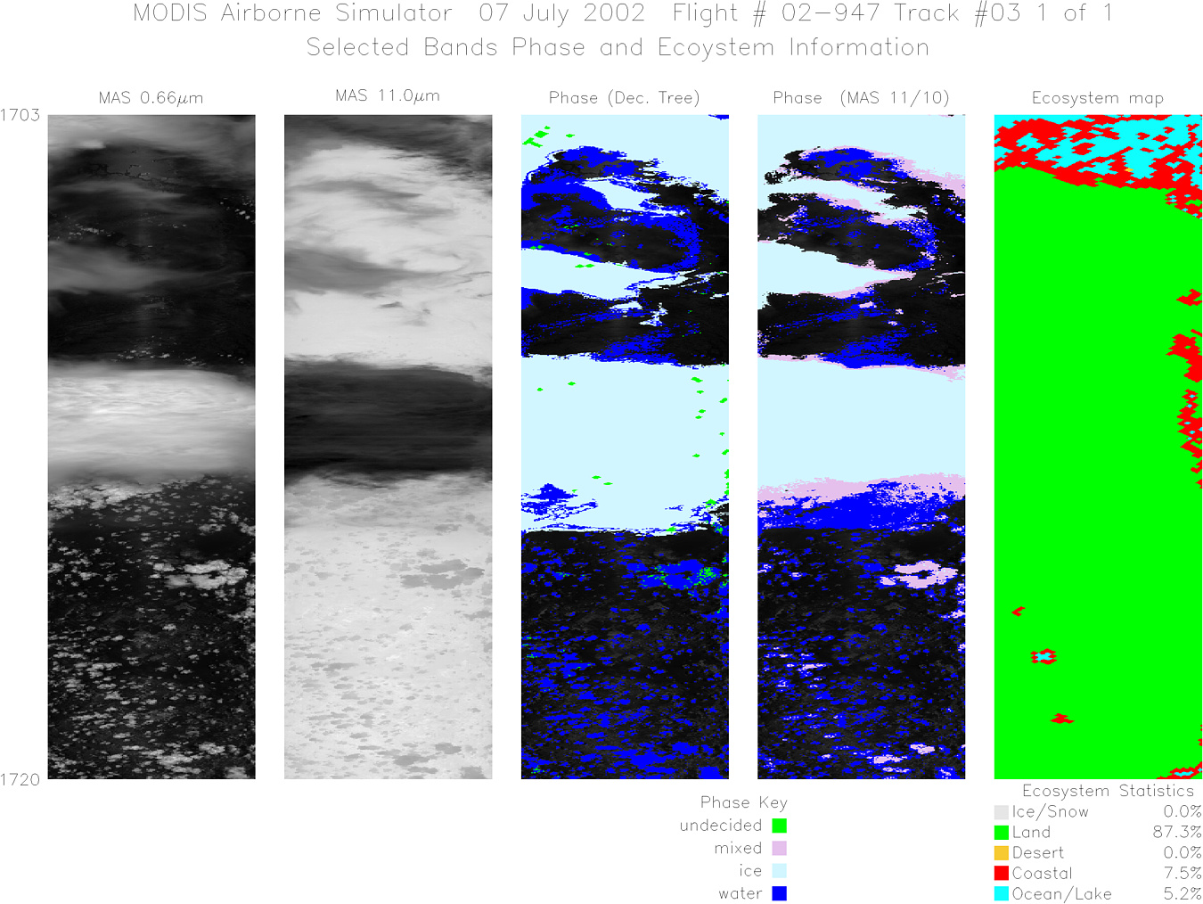
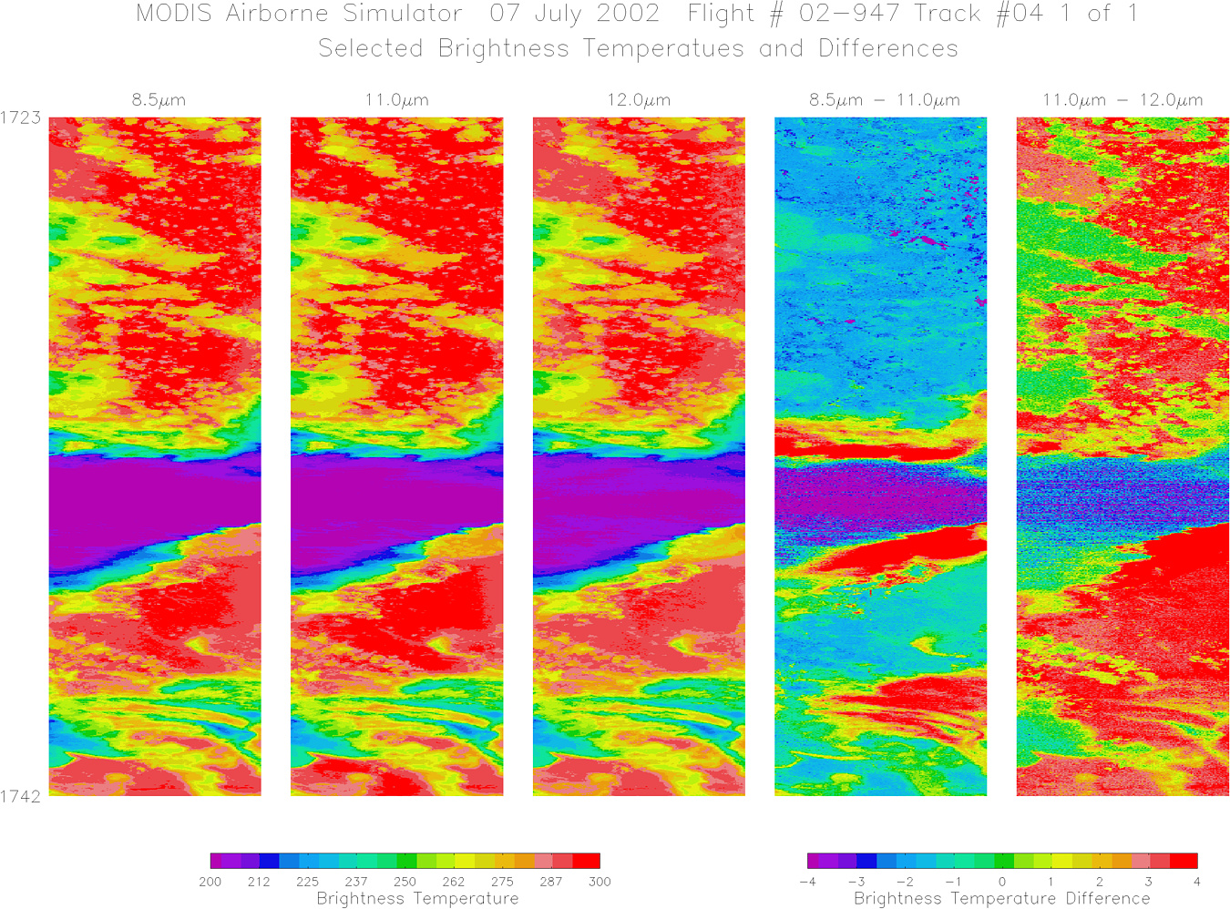
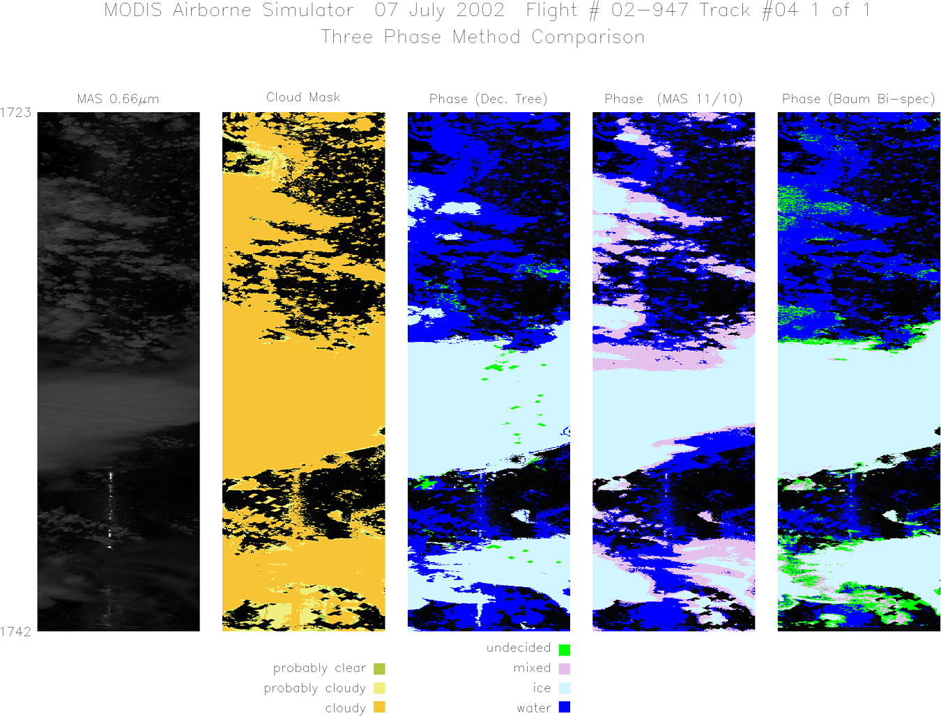
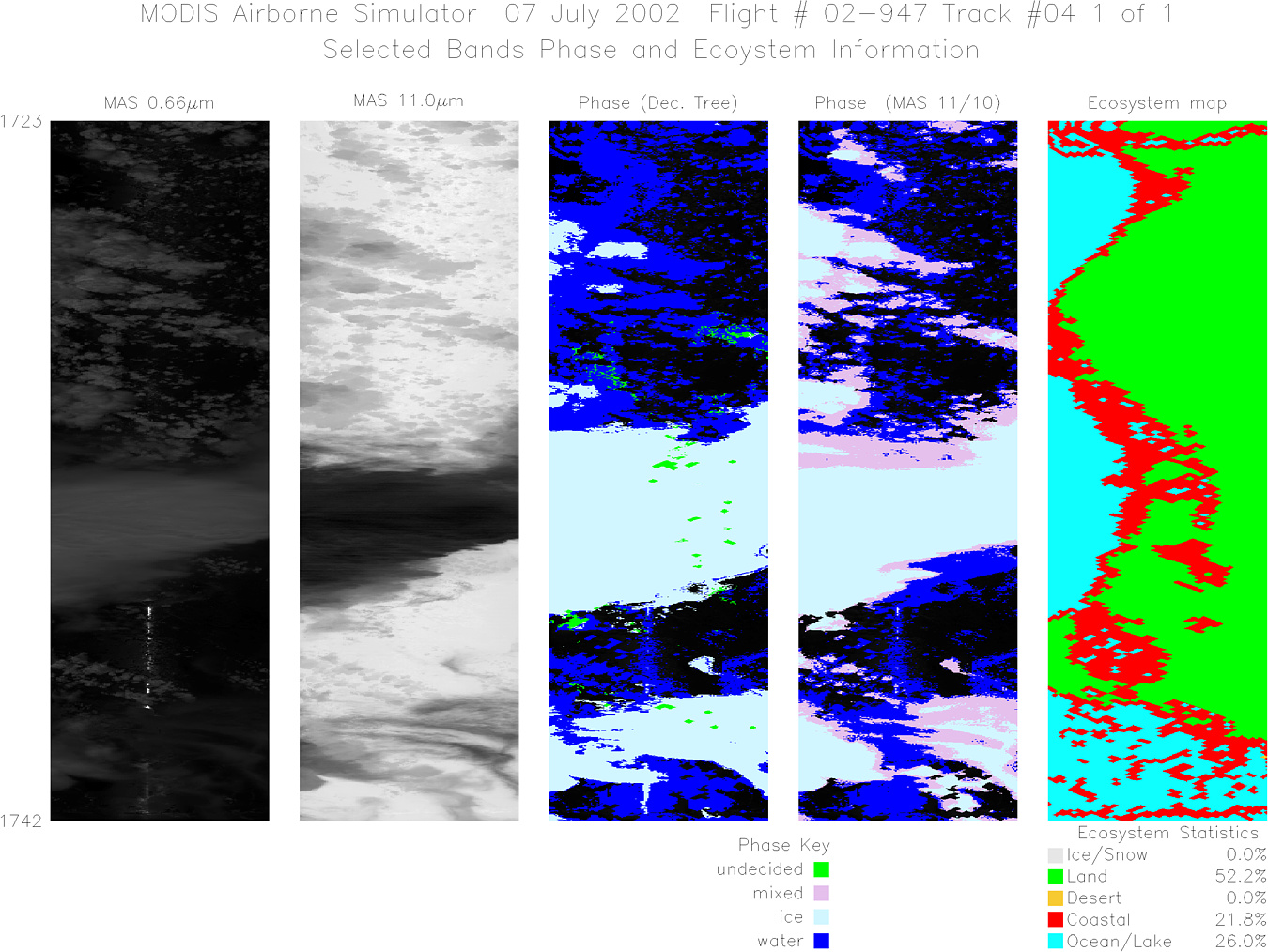
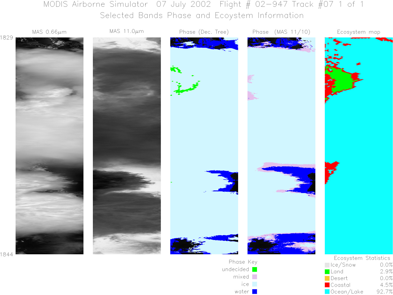
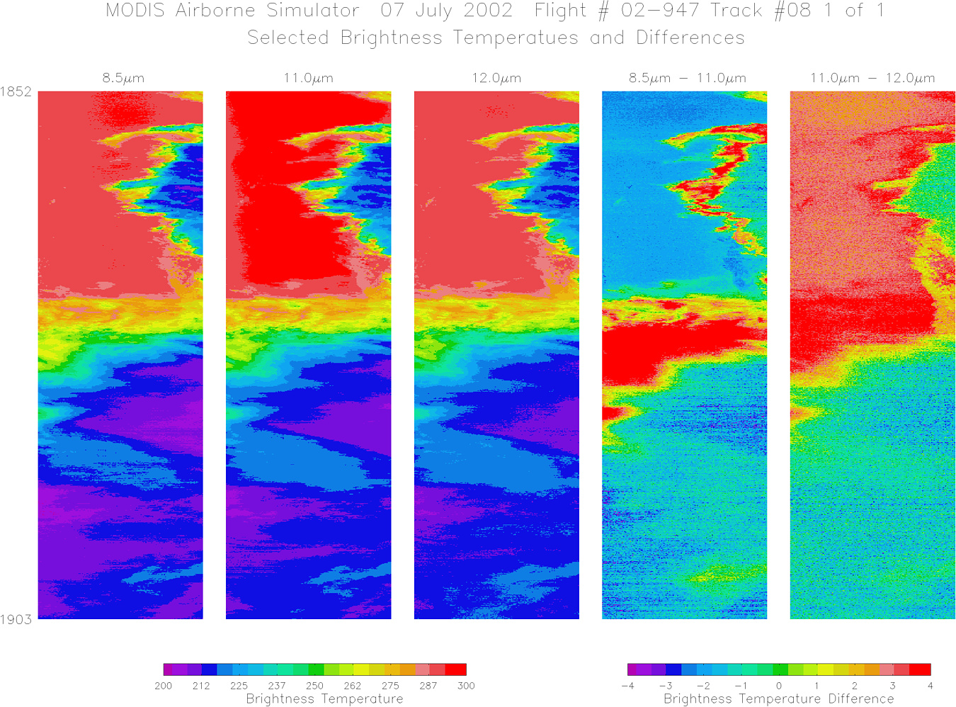
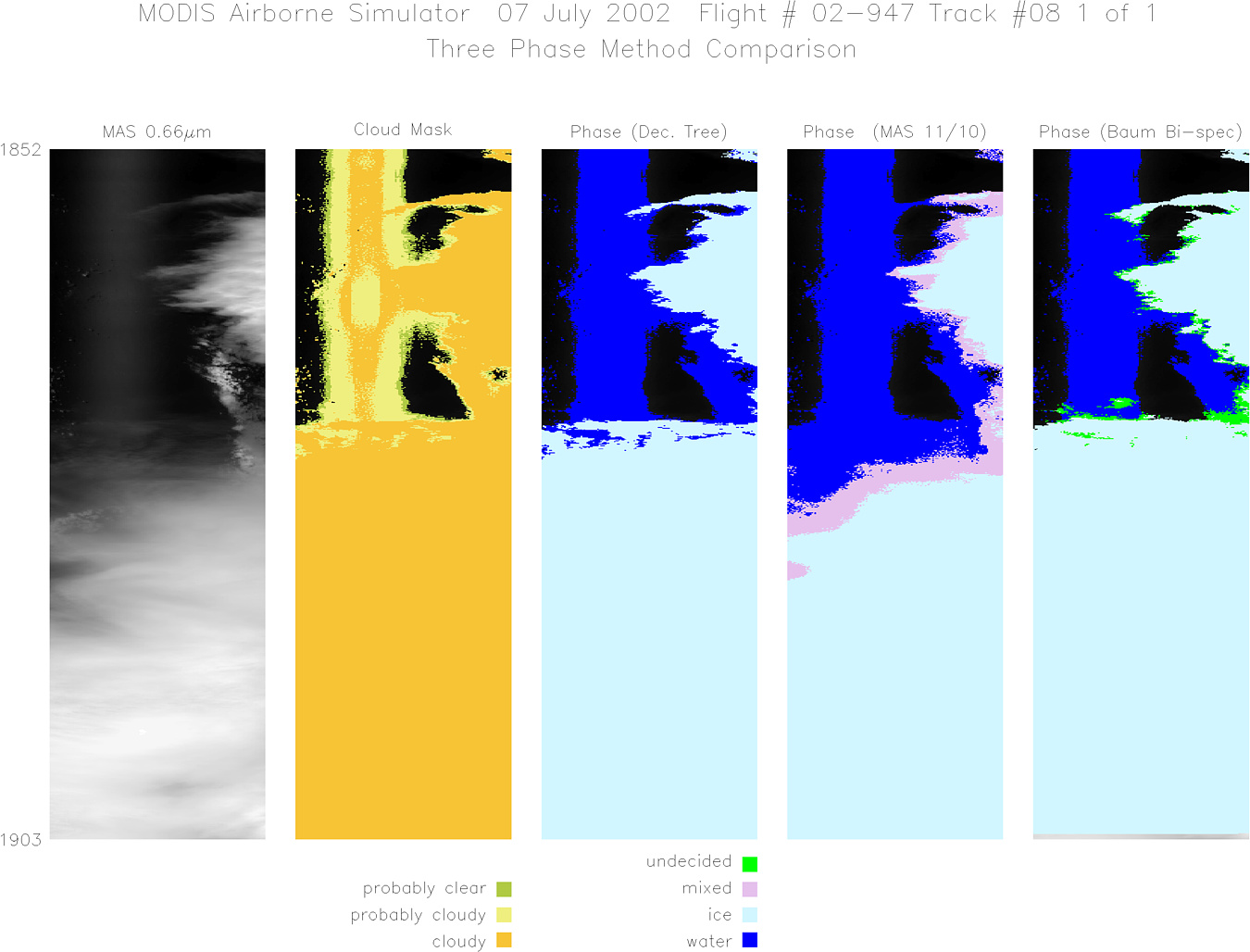
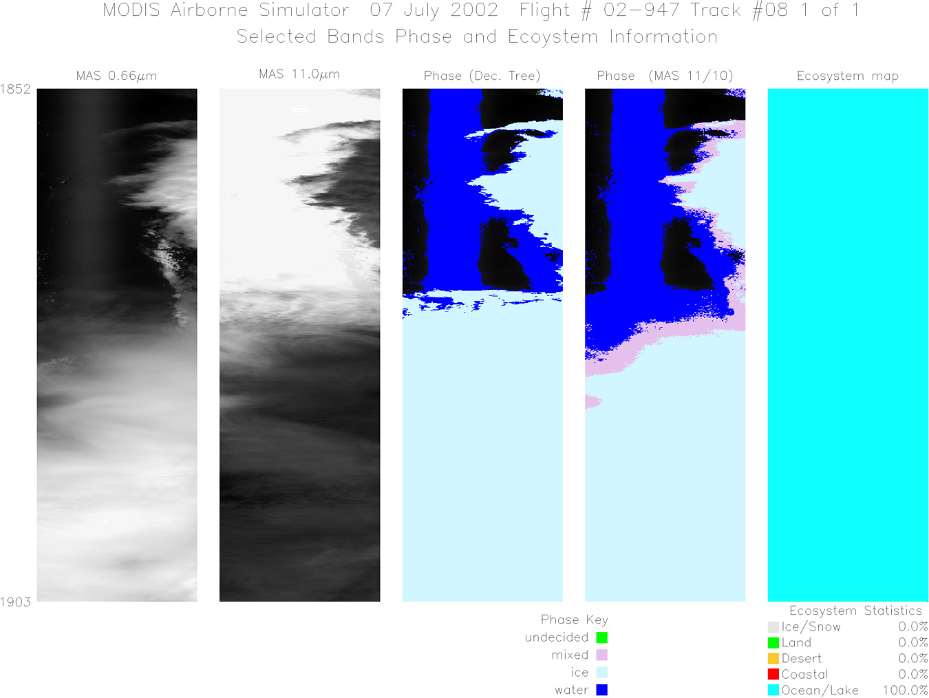
MODIS Airborne Simulator (MAS)
FLIGHT SUMMARY INFORMATION


|
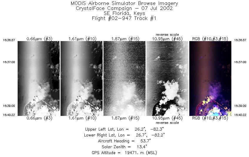
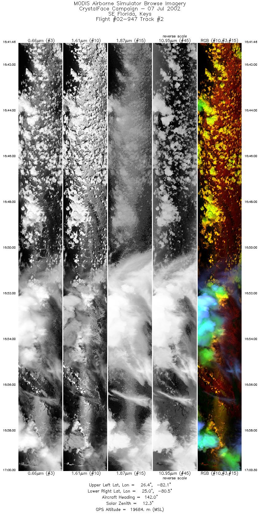
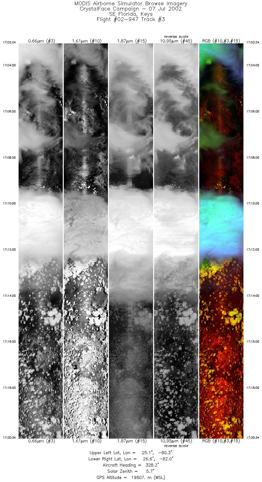
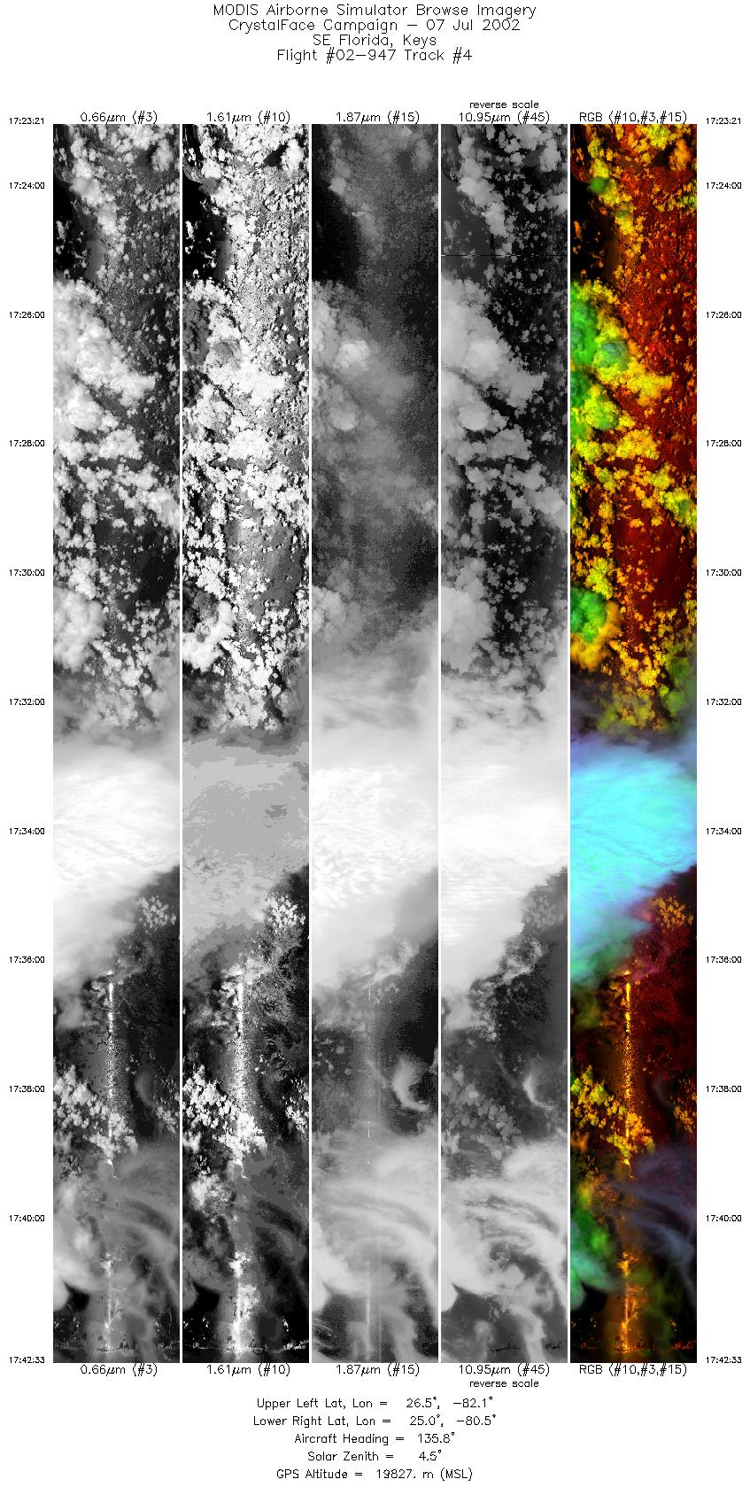
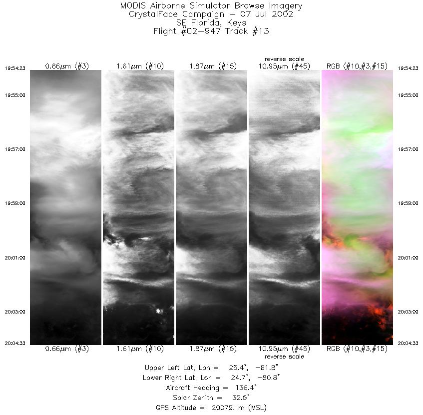
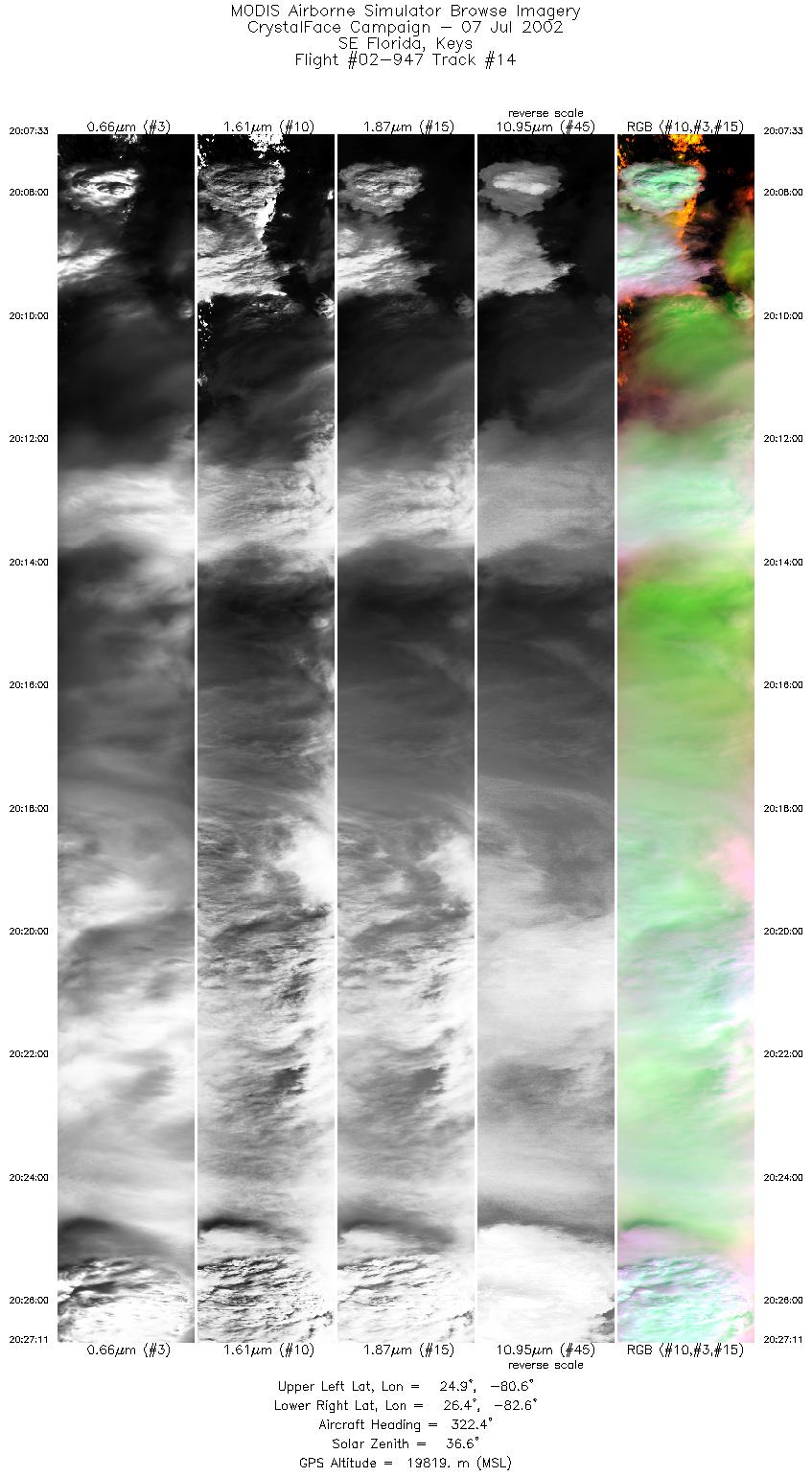
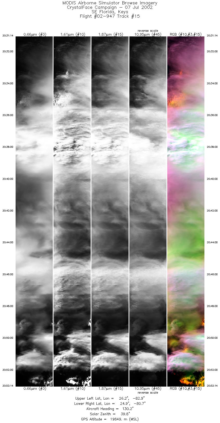
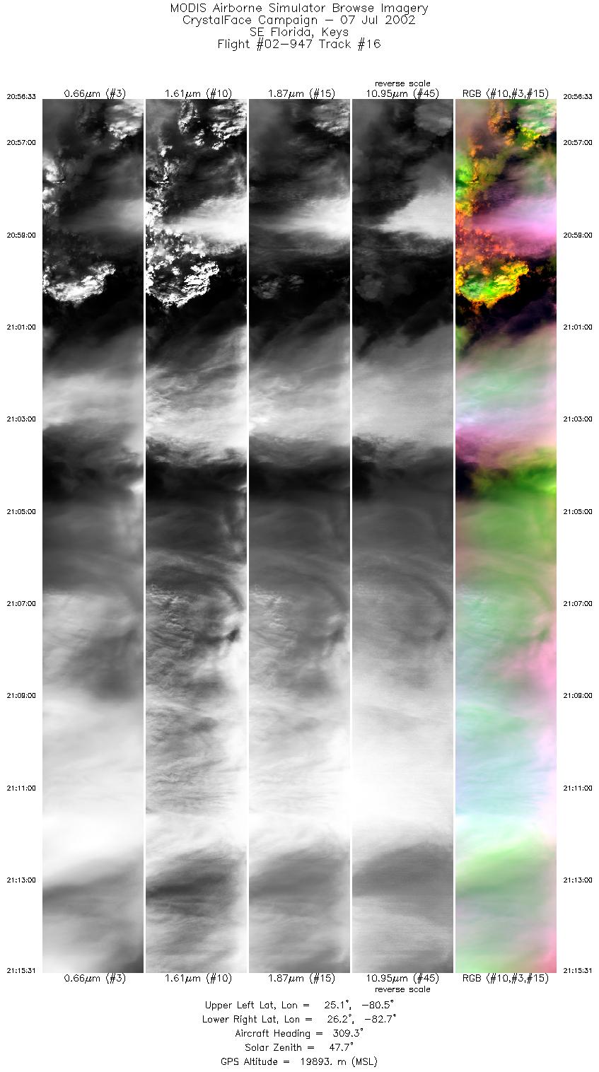
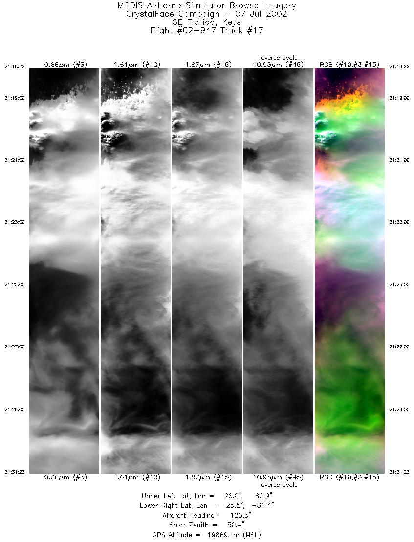
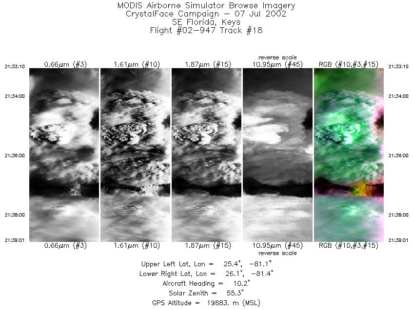
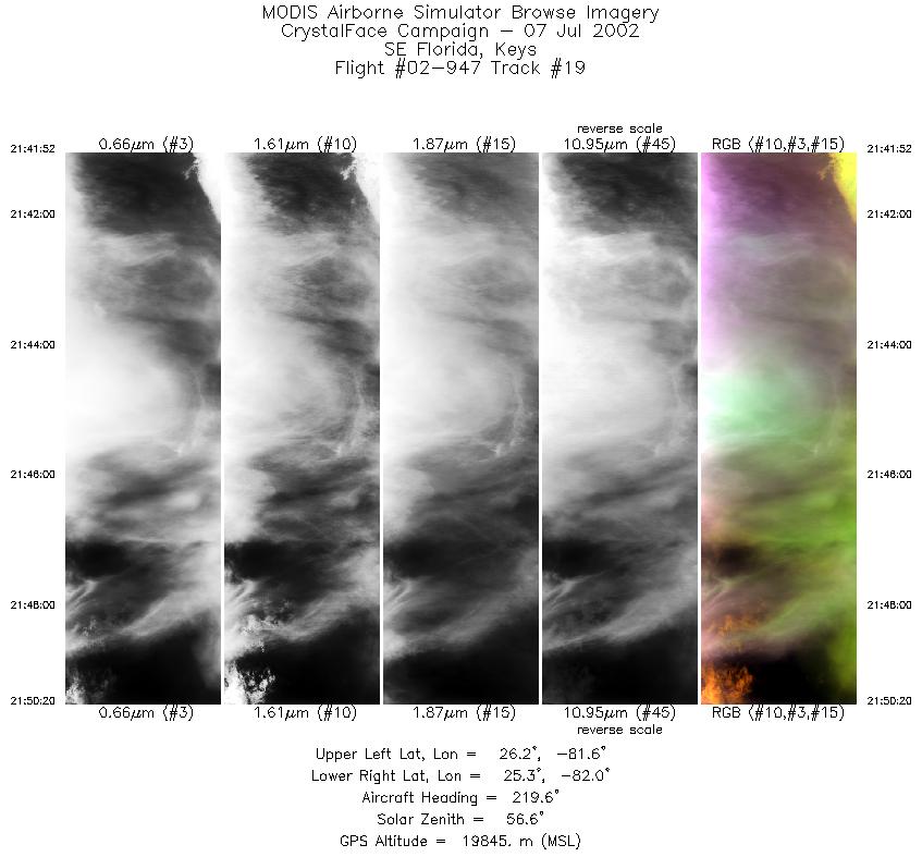
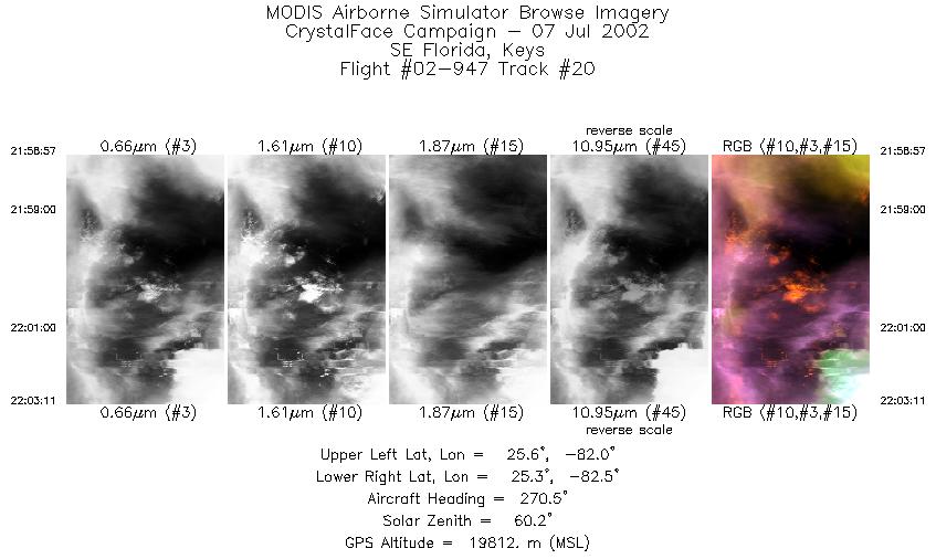
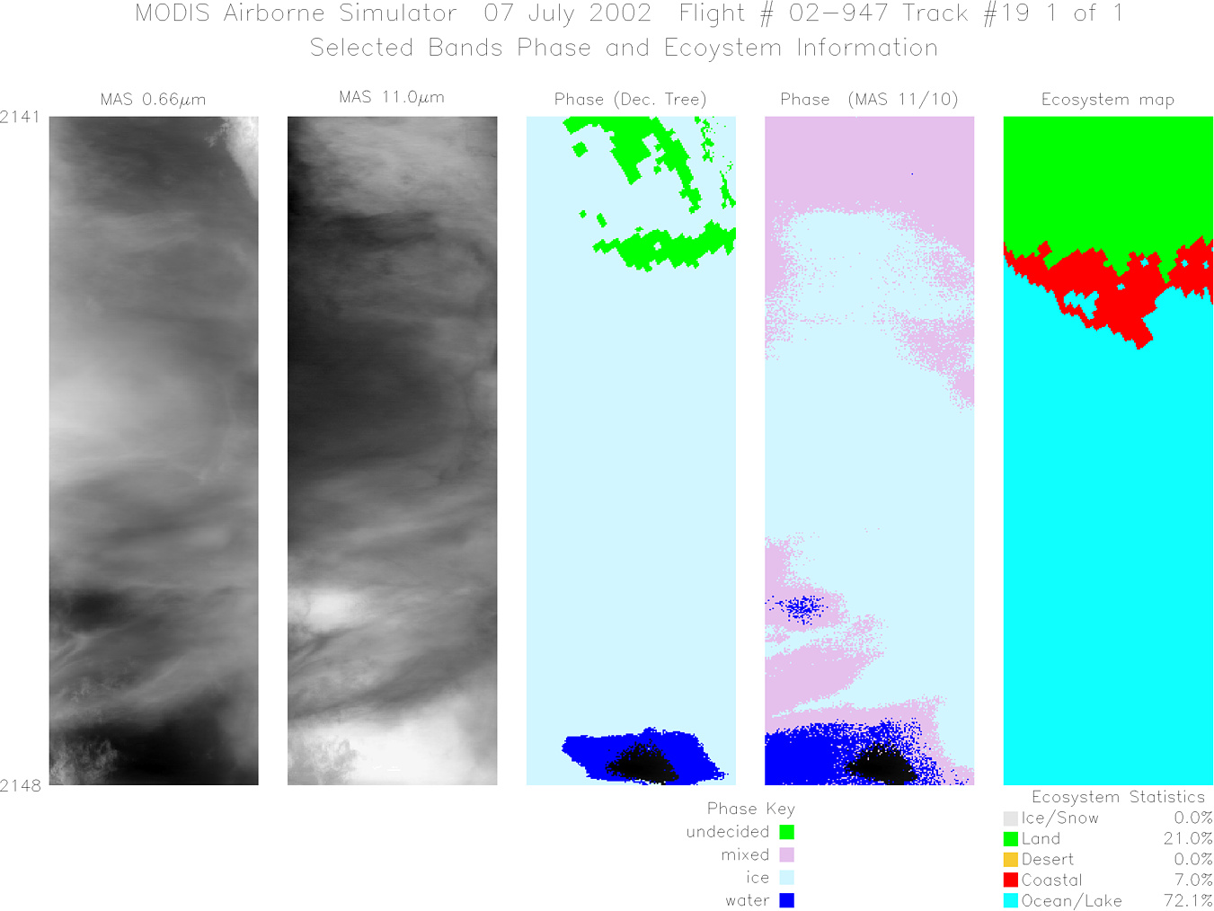
Flight: 02-947 Date: 07 July 2002 Location: Gulf of Mexico / Florida Deployment: CRYSTAL-FACE Principal Investigators: Drs. Michael King & Steven Platnick (NASA GSFC) Additional Sensors: CoSSIR, CPL, CRS, Dropsondes, EDOP, JLH, MMS, MTP, RAMS, SSFR |
||||||||||||||||||||||||||||||||||||||||||||||||||||||||||||||||||||||||||||||||||||||||||||||||||||||||||||||||||||||||||||||||||||||||||||||||||||||||||||||||||||||||
|
Data Evaluation Pilot did not turn on superpod heaters until 1 hour into flight; multiple dropped scanlines and condensation on data system as a result 11µm channel coherent noise fixed AQUA Underflight @ 18:10 TERRA Underflight @ 16:39 NOAA16 Underflight @ 19:02 |
||||||||||||||||||||||||||||||||||||||||||||||||||||||||||||||||||||||||||||||||||||||||||||||||||||||||||||||||||||||||||||||||||||||||||||||||||||||||||||||||||||||||
|
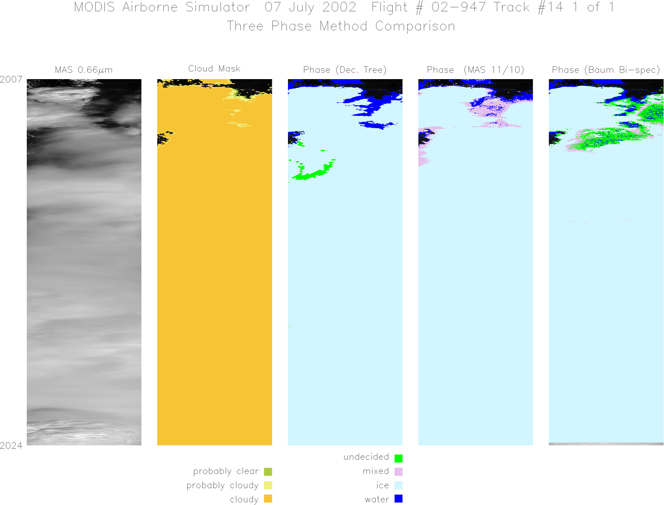
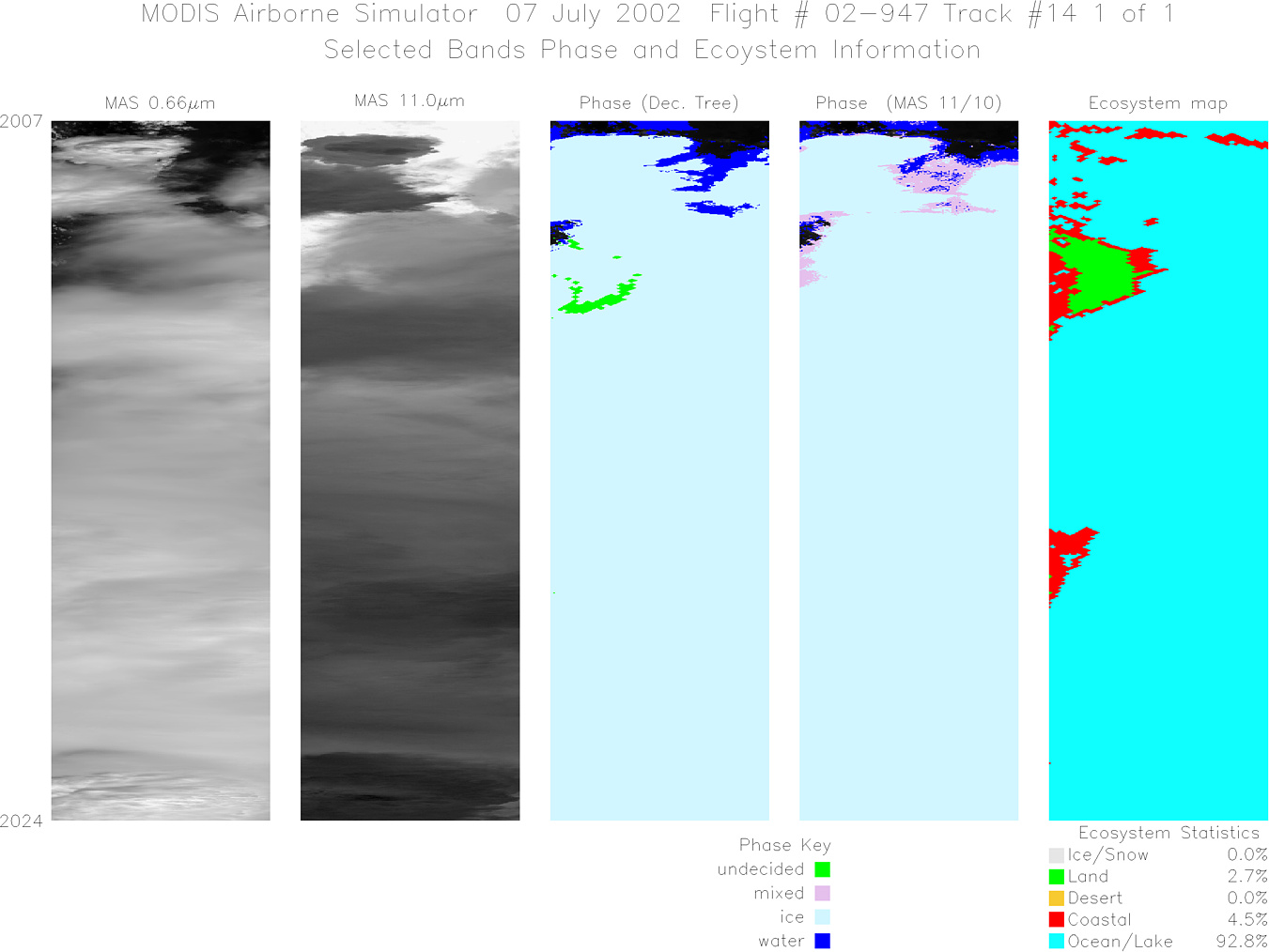
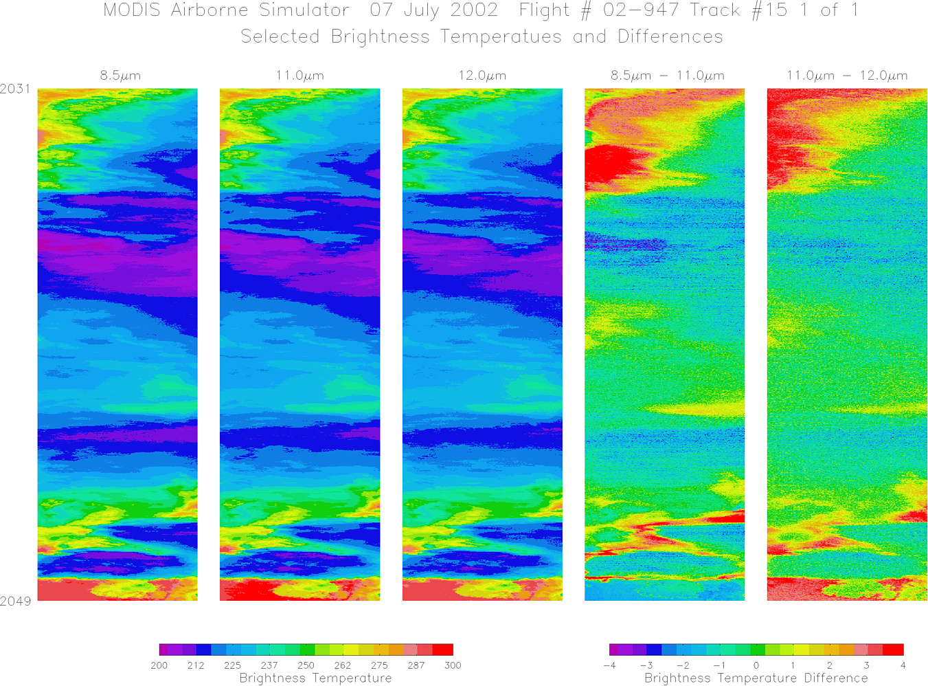
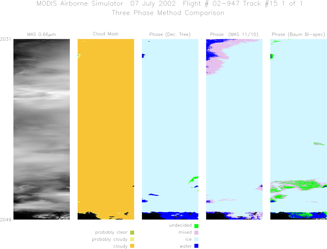
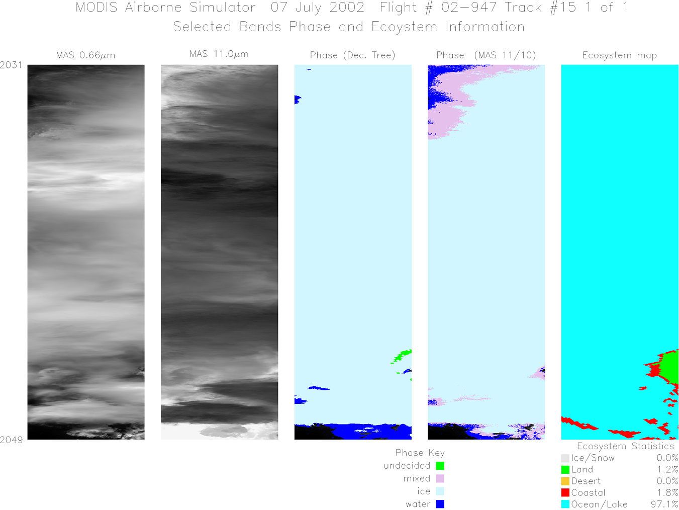
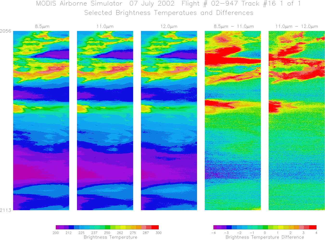
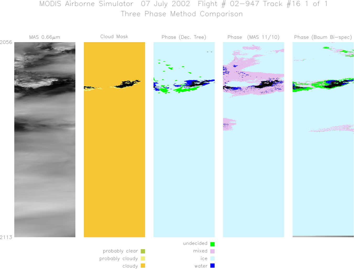
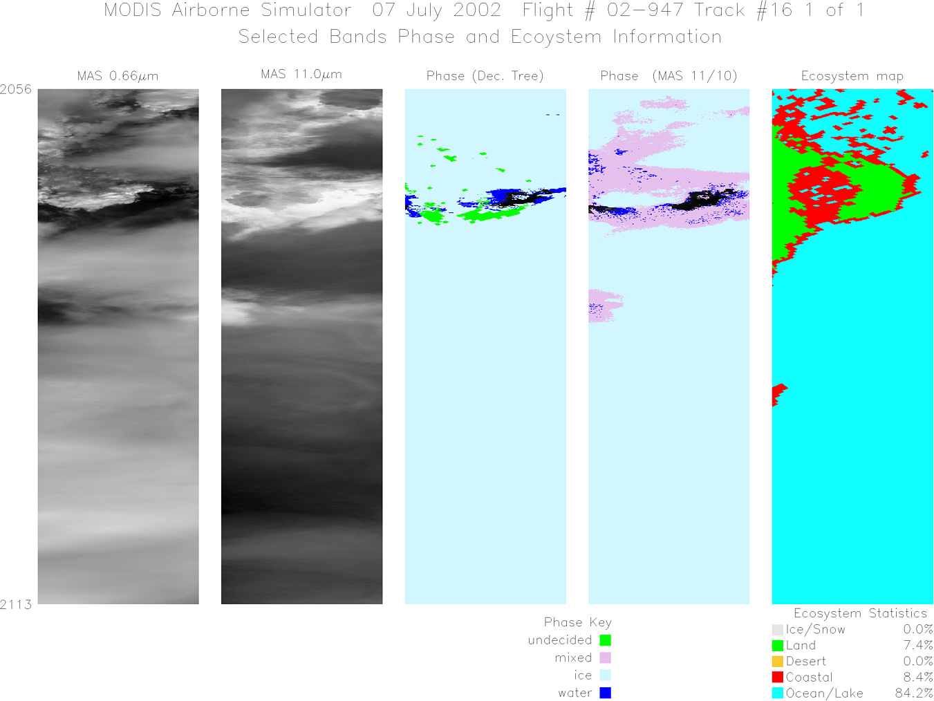
Processing Information Level-1B Data in HDF format is available Flight Line Summary Spectral Band Configuration Spectral Response Function Table |
||||||||||||||||||||||||||||||||||||||||||||||||||||||||||||||||||||||||||||||||||||||||||||||||||||||||||||||||||||||||||||||||||||||||||||||||||||||||||||||||||||||||
|
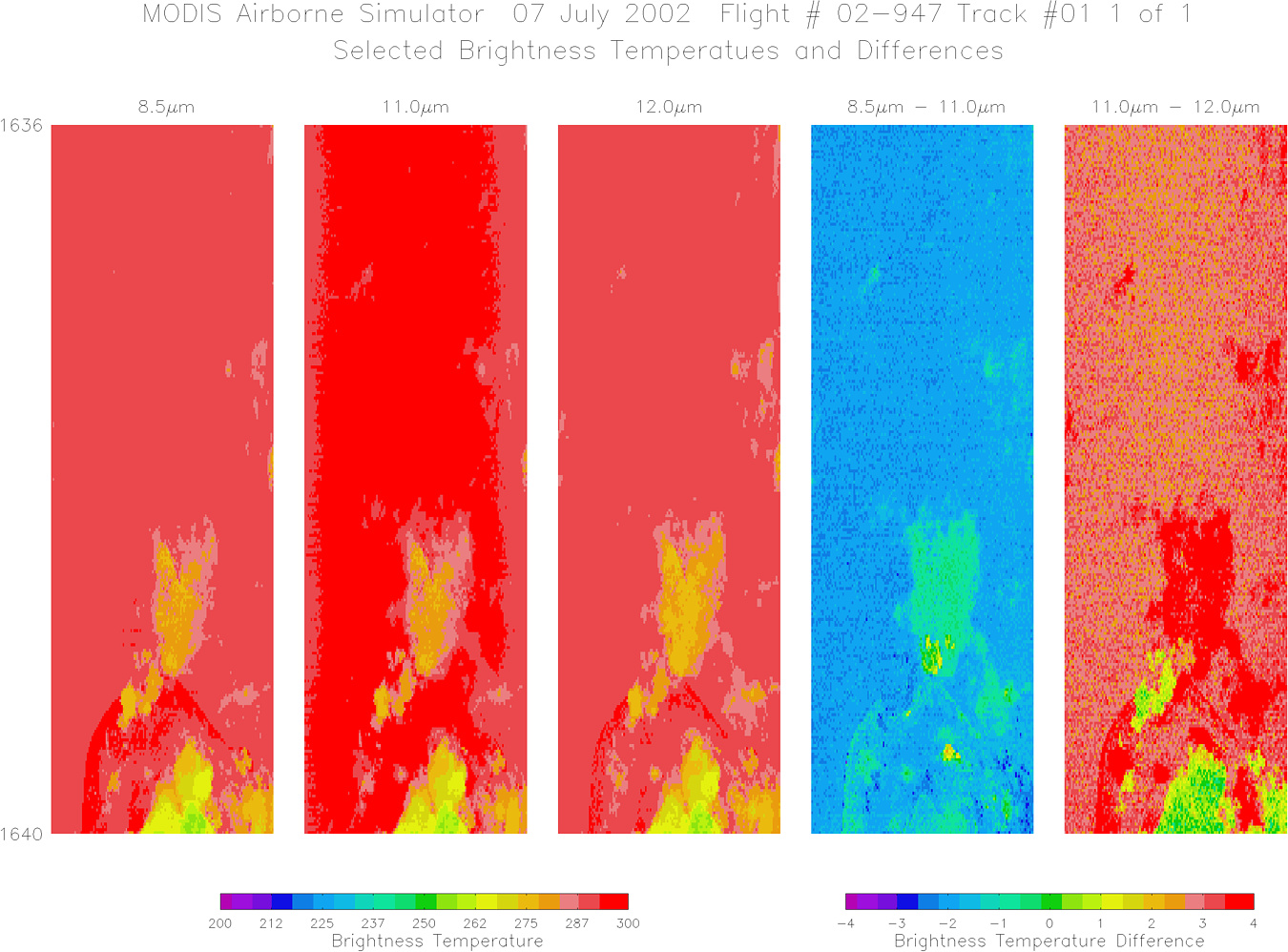
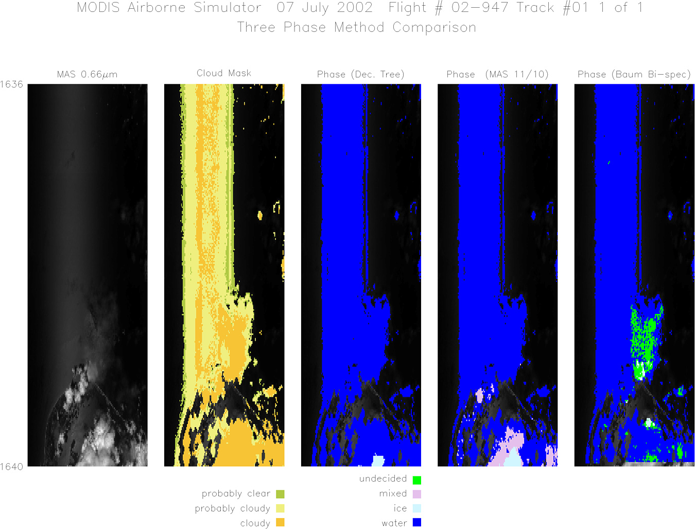
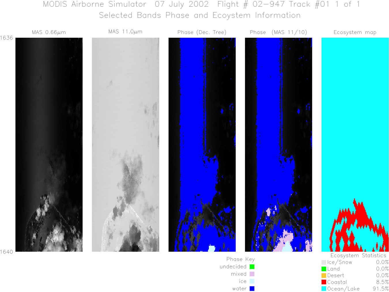
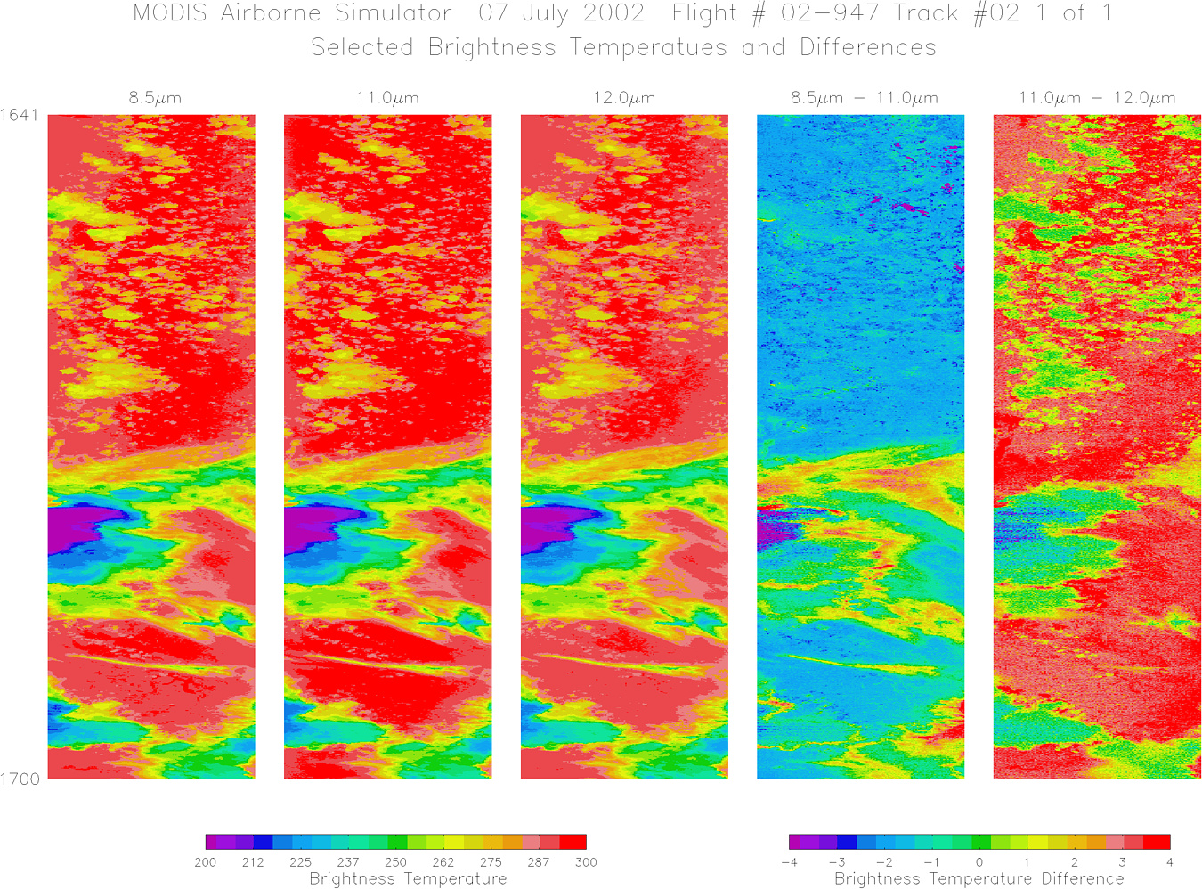
Browse Imagery Flight Tracks: 20 Scanlines: 99938 |
||||||||||||||||||||||||||||||||||||||||||||||||||||||||||||||||||||||||||||||||||||||||||||||||||||||||||||||||||||||||||||||||||||||||||||||||||||||||||||||||||||||||
|
||||||||||||||||||||||||||||||||||||||||||||||||||||||||||||||||||||||||||||||||||||||||||||||||||||||||||||||||||||||||||||||||||||||||||||||||||||||||||||||||||||||||
|
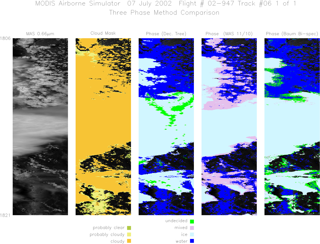
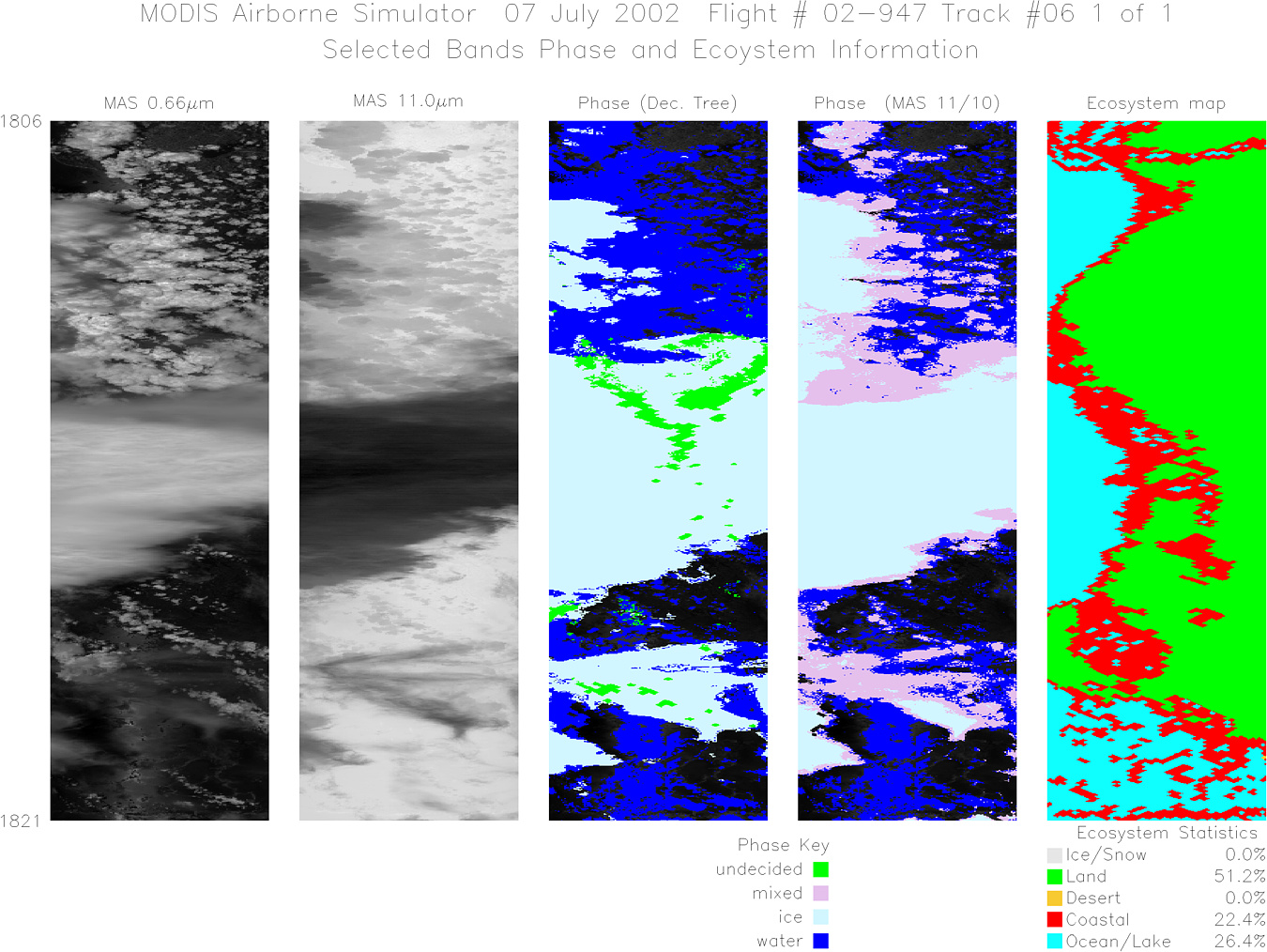
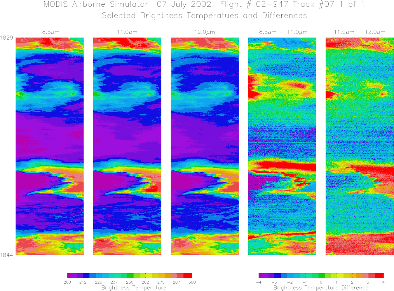
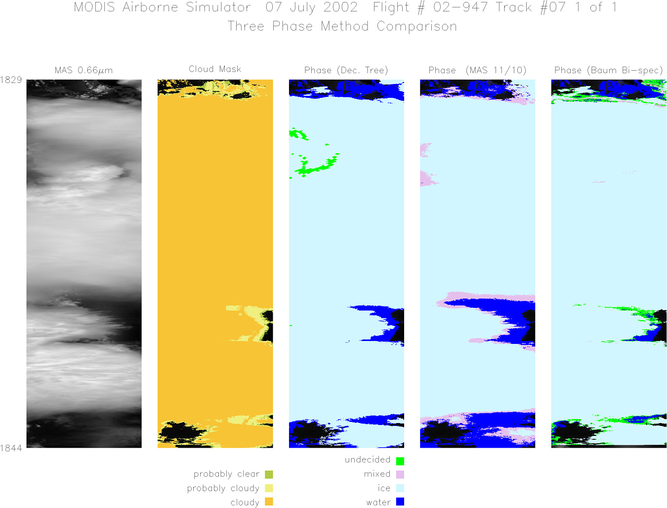
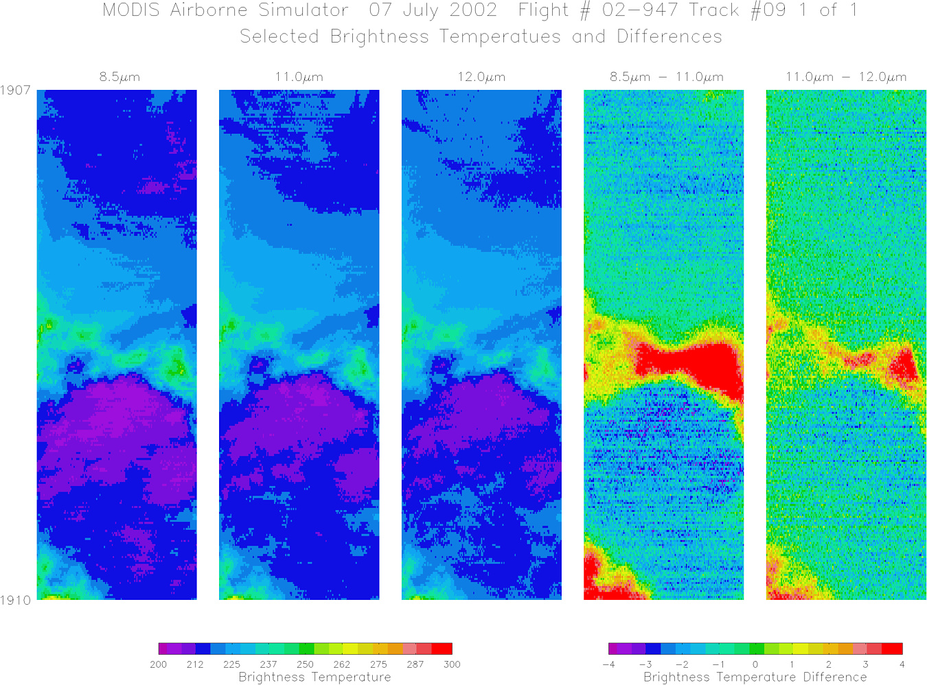
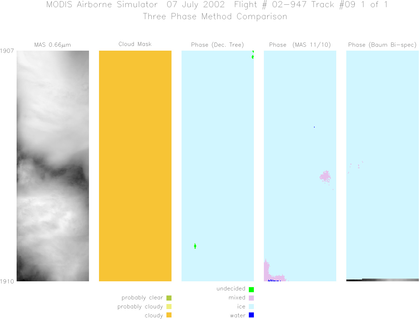
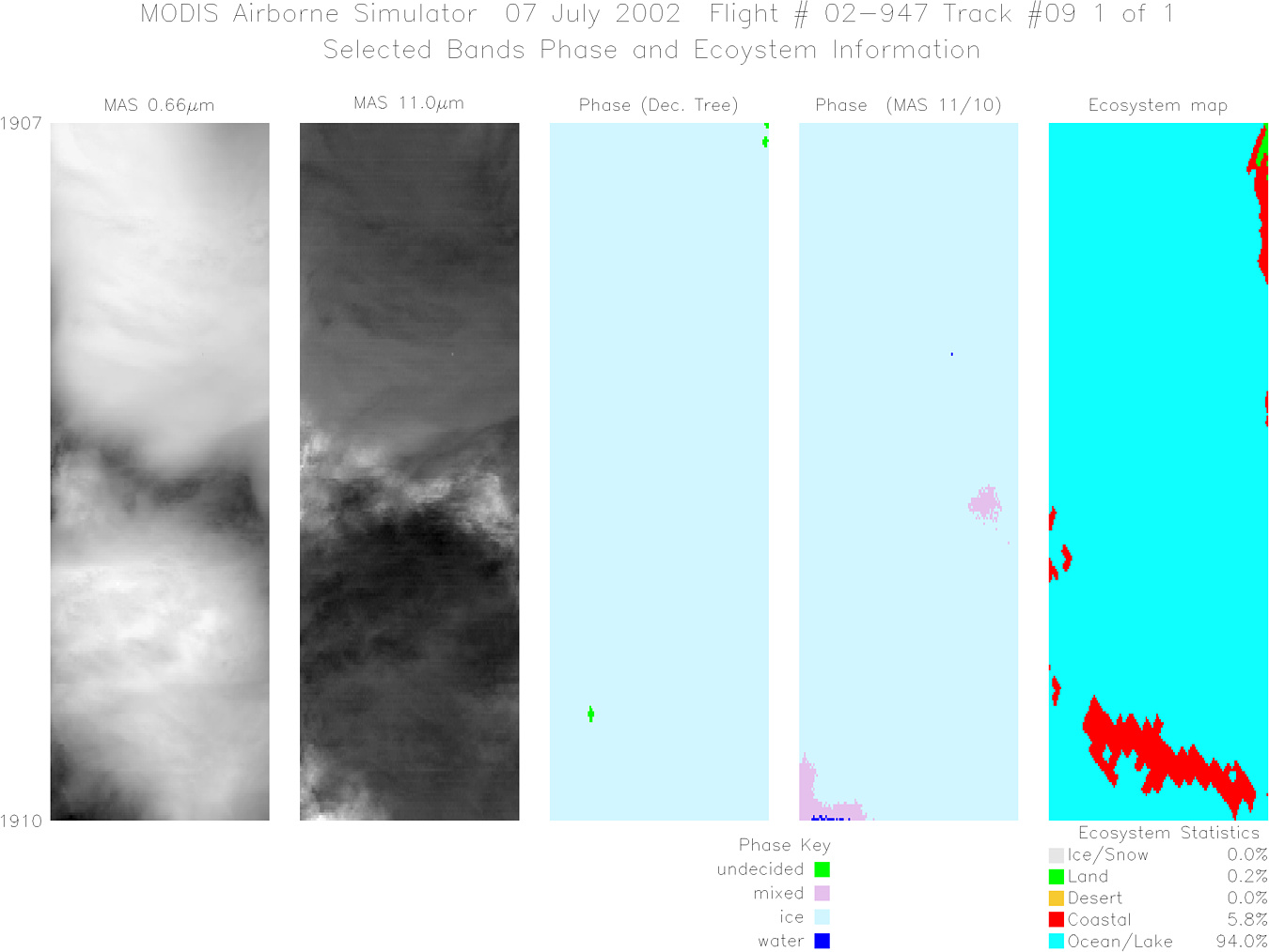
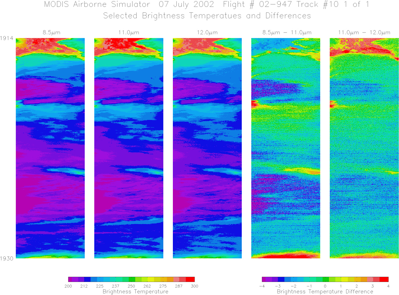
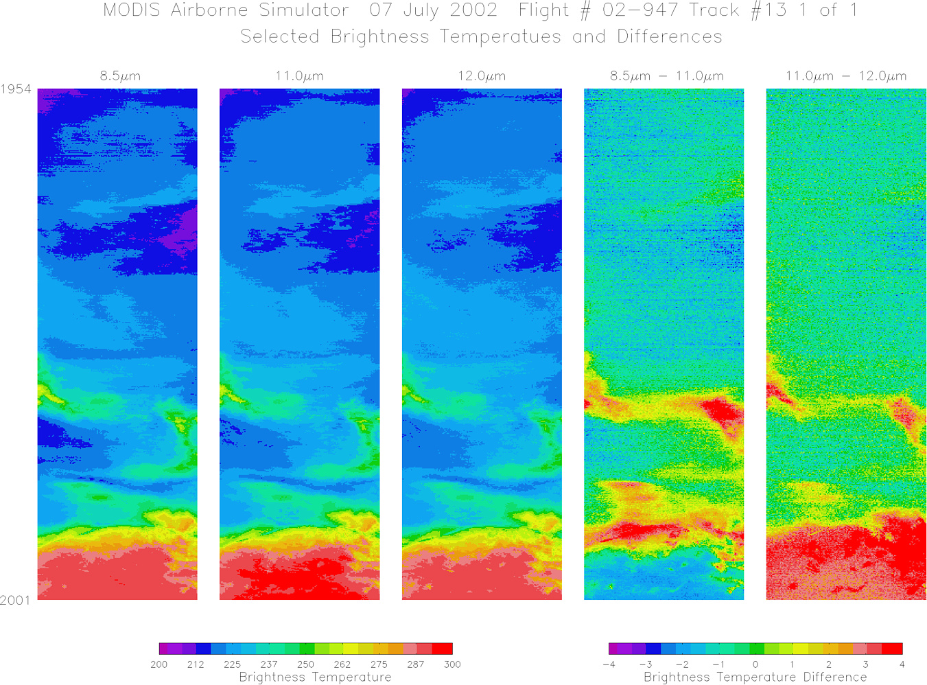
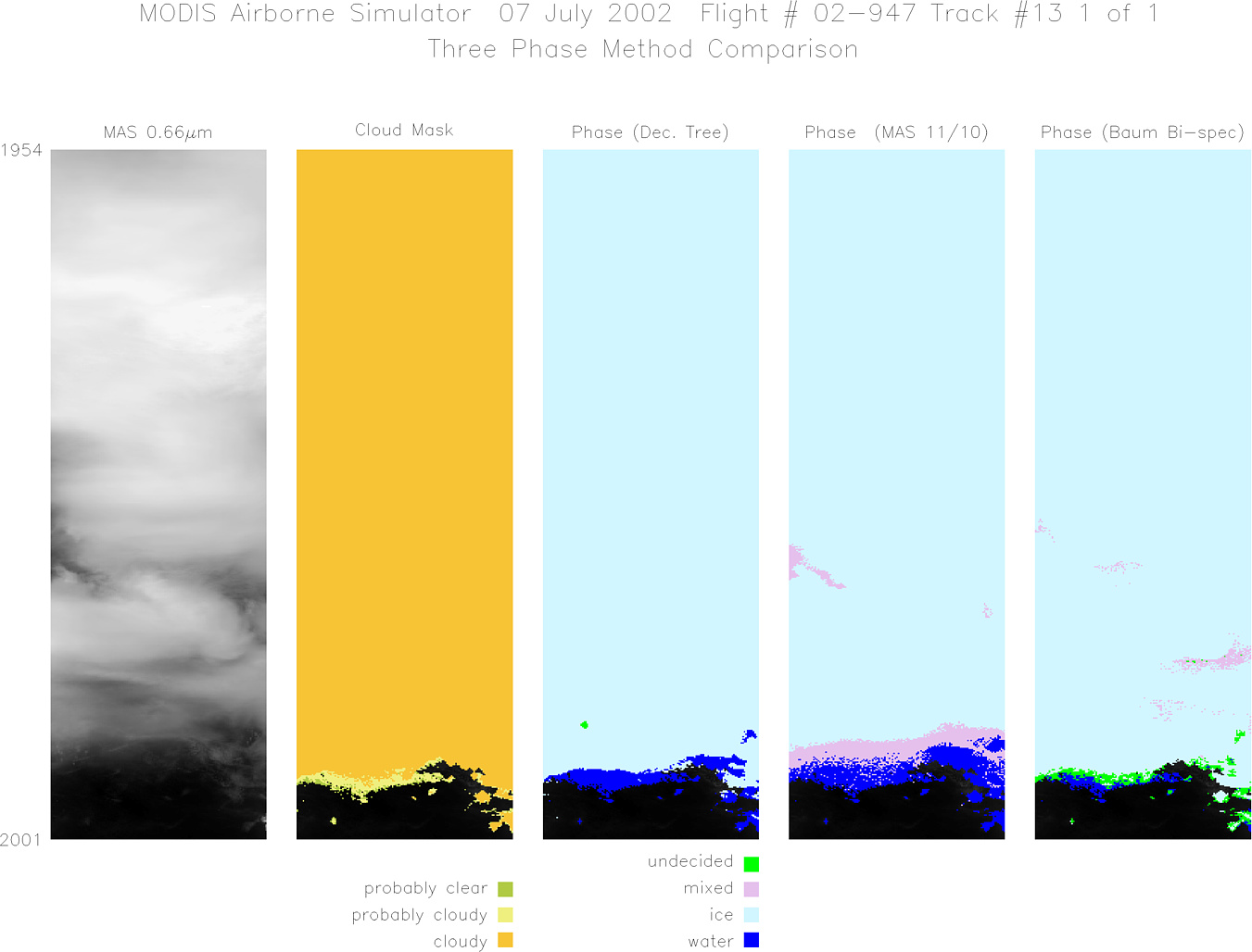
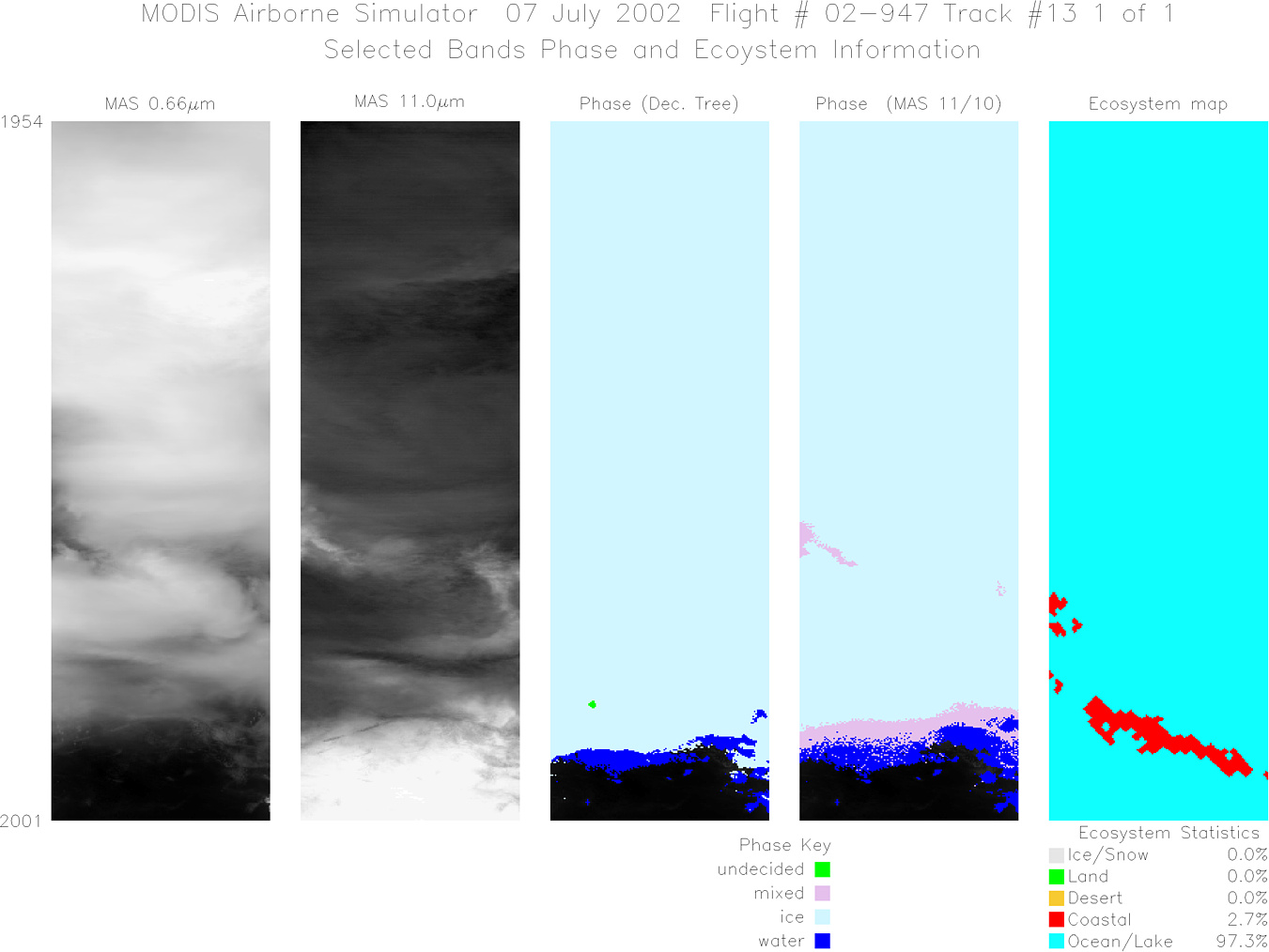
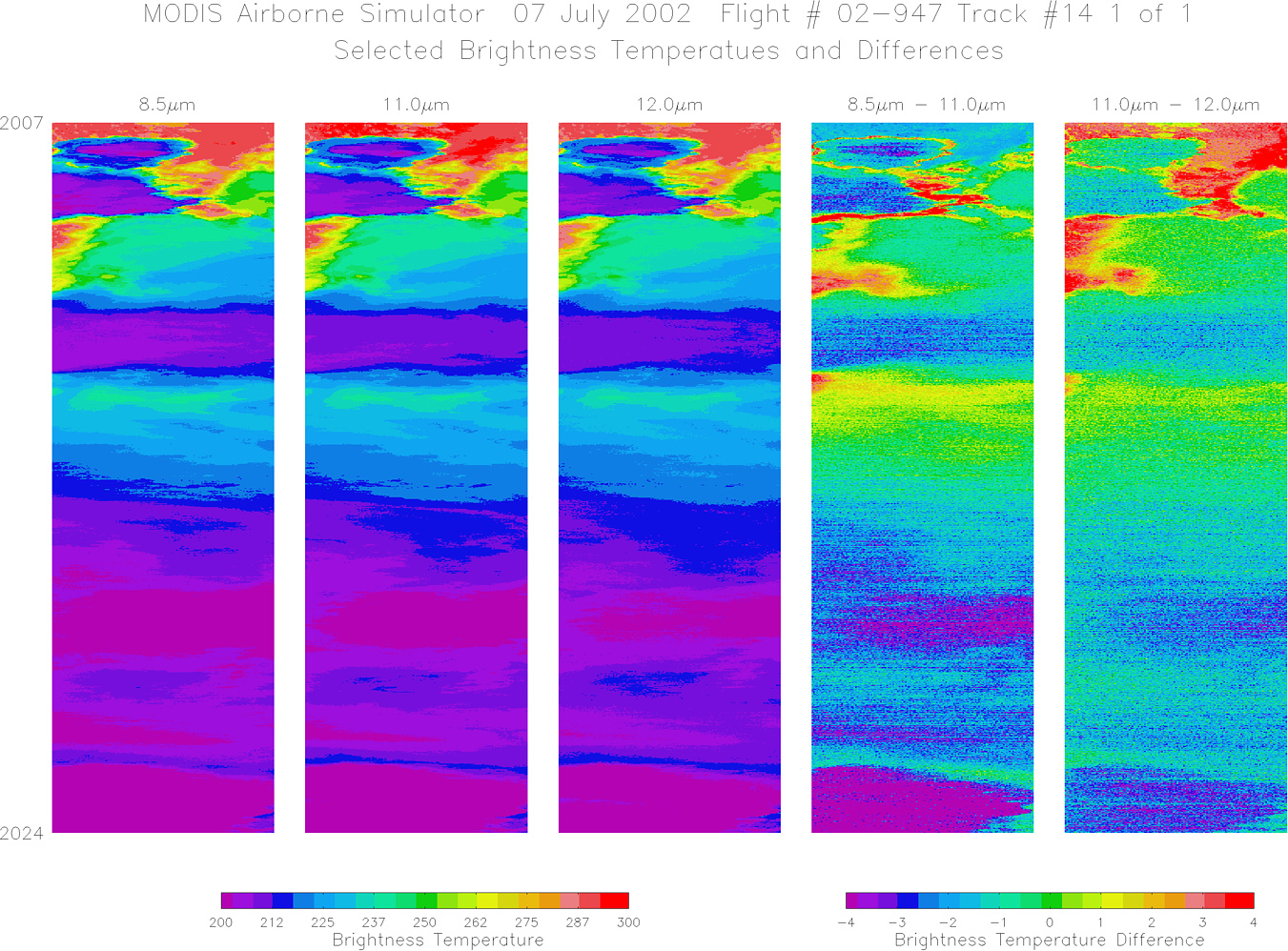
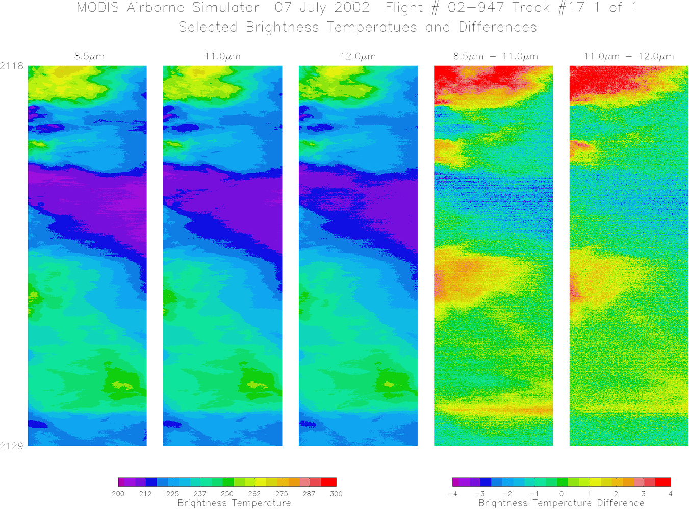
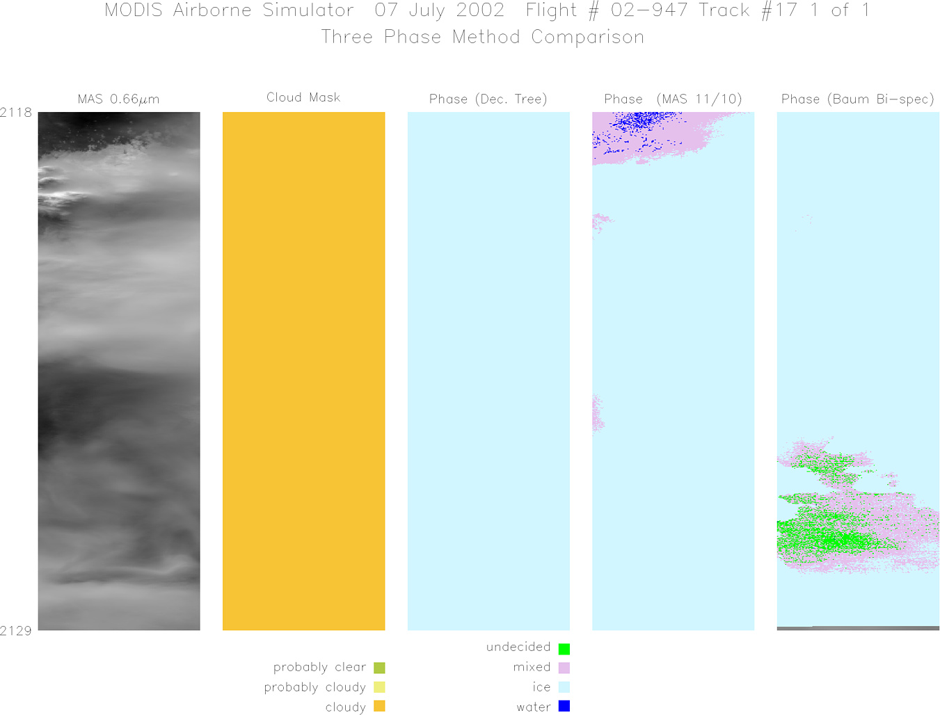
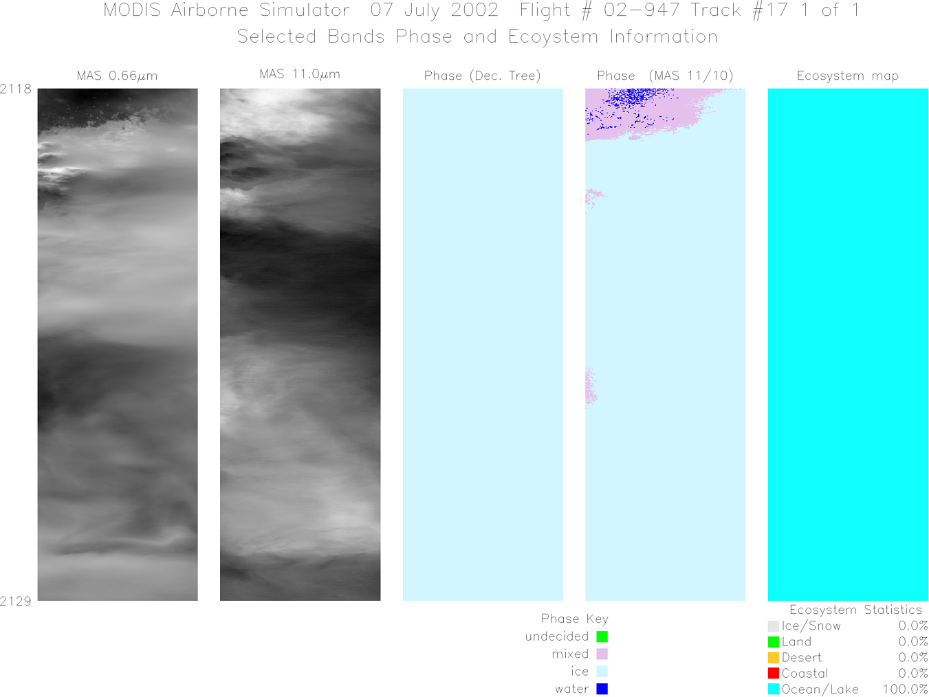
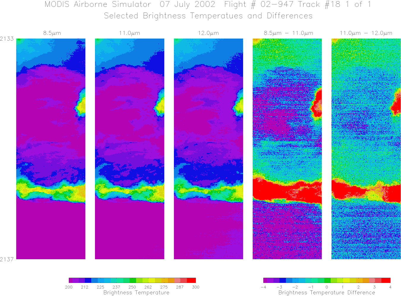
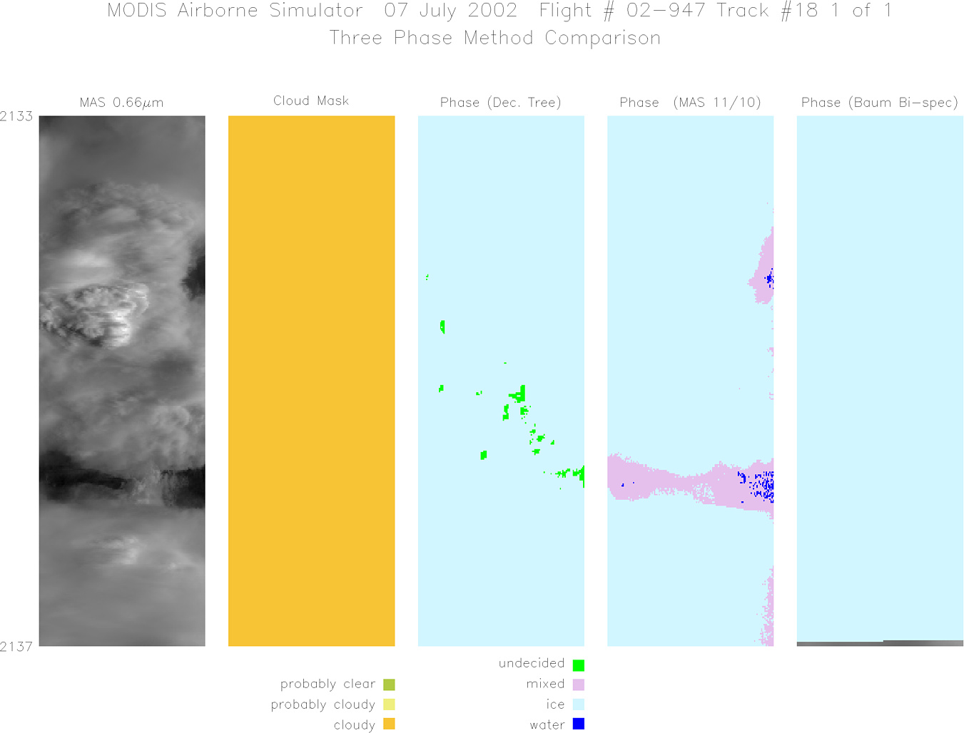
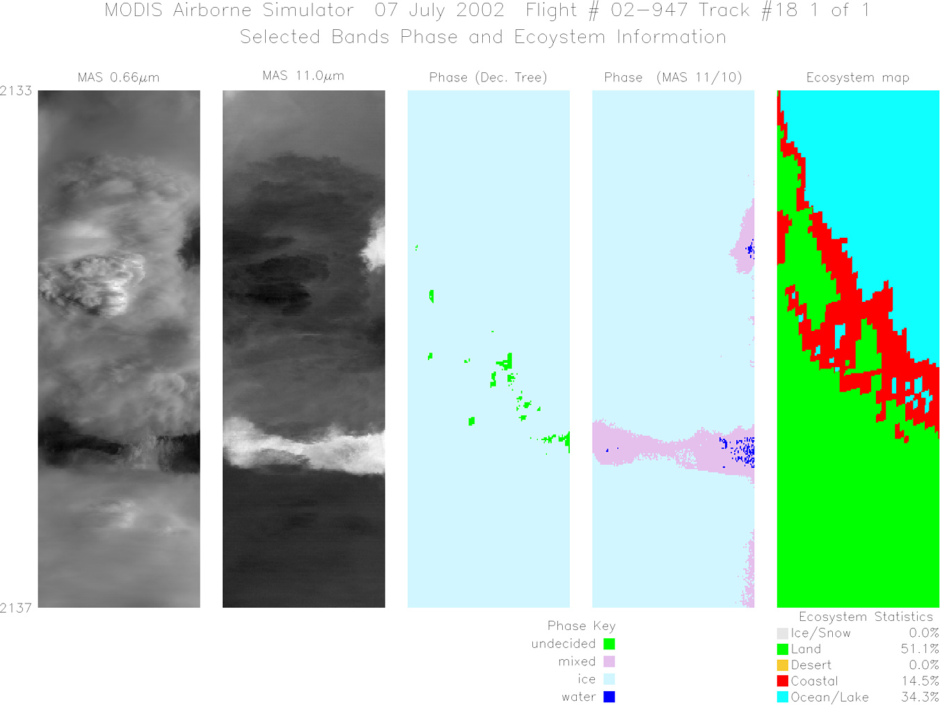
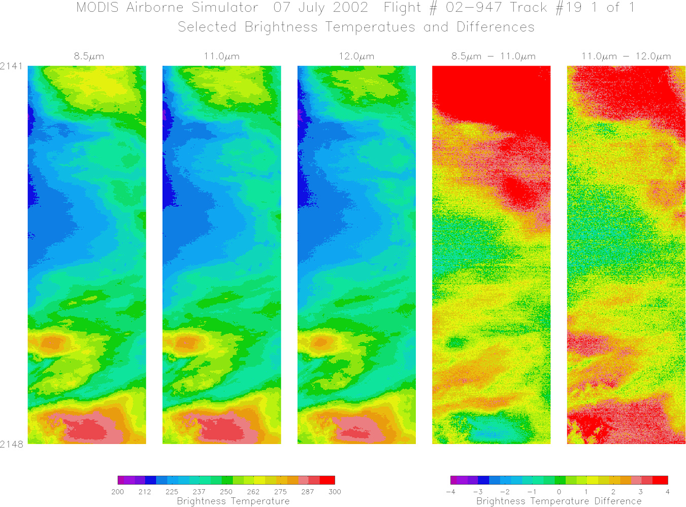
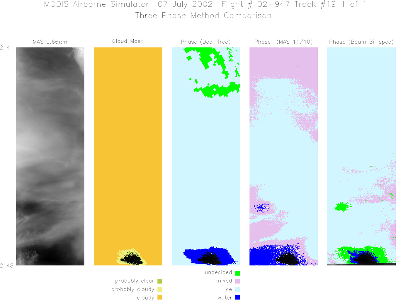
Flight Summary Report Mission Number: 2 Mission Scientists: S. Platnick, P. Newman ER-2 Pilot: J. Barrilleaux Takeoff: 1600 (UTC) Landing: 2240 (UTC) Duration: 6:40 (h:mm) Convection was expected over the interior panhandle and along the western coast. Weak upper level westerly flow out of the southeast was expected to blow anvils out over the gulf. The scenario developed as expected. After climbing to altitude, the ER-2 headed north out of Key West and placed a sonde over the gulf, at a latitude approximately equivalent to that of the western ground site. The ER-2 then flew a fixed racetrack pattern with the western leg centered over the western ground site and oriented along the coast. The racetrack offset is approximately 14 nautical miles. As convection developed and anvils advected to the west, the racetrack was repositioned (in increments of a racetrack width) to the southwest by NPOL. Satellite & Ground Site Information
AQUA Overpass @ 1810 (UTC); VZA = 55° (relative to western site)
Western Site: PARSL, Everglades National Park, Gulf Coast Visitor's Center
|
||||||||||||||||||||||||||||||||||||||||||||||||||||||||||||||||||||||||||||||||||||||||||||||||||||||||||||||||||||||||||||||||||||||||||||||||||||||||||||||||||||||||

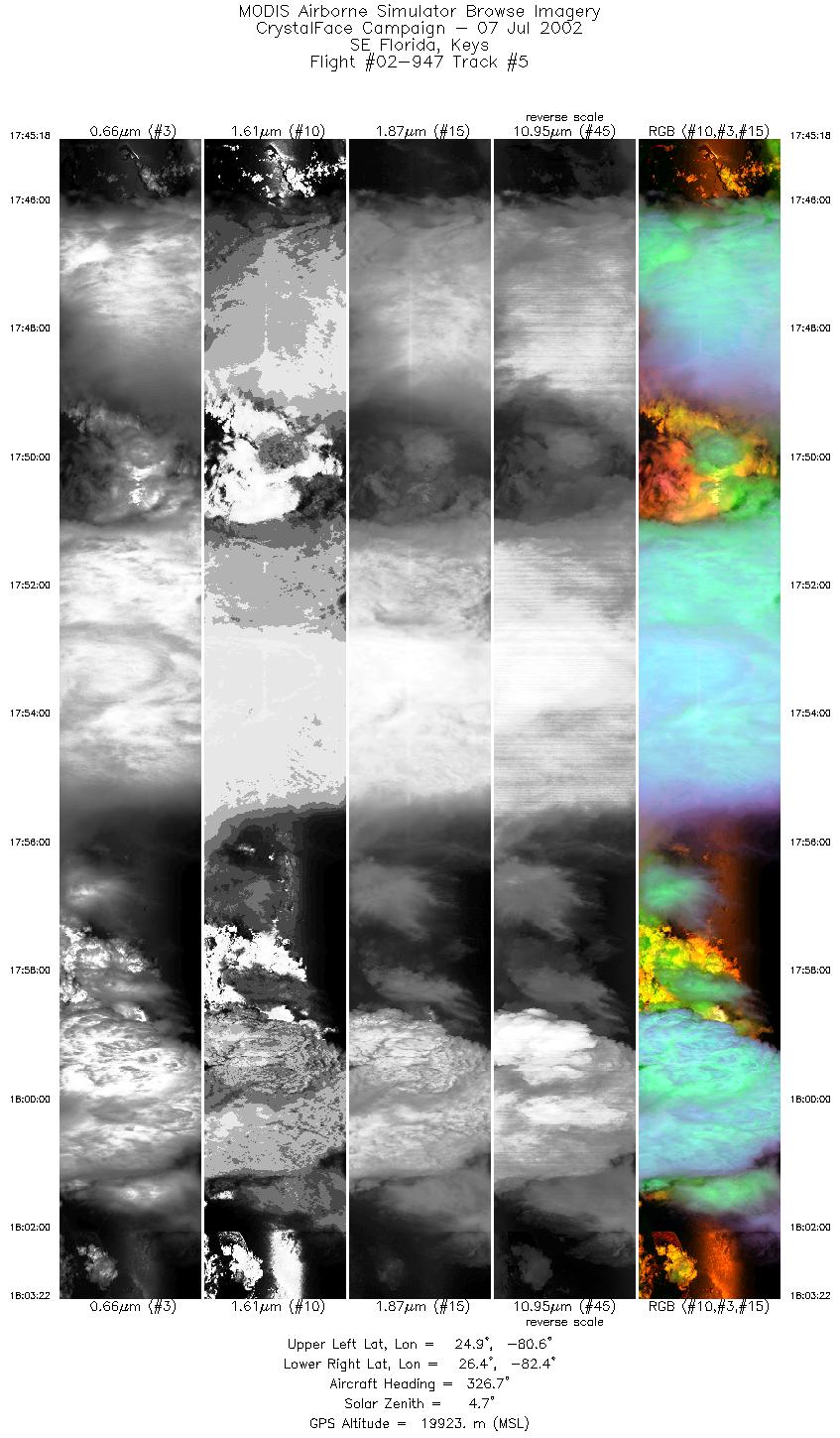
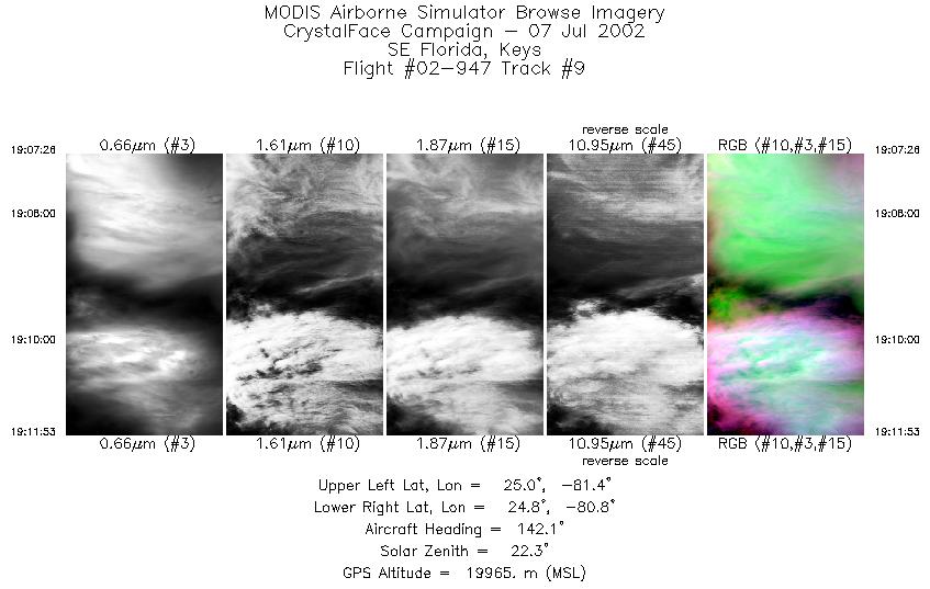
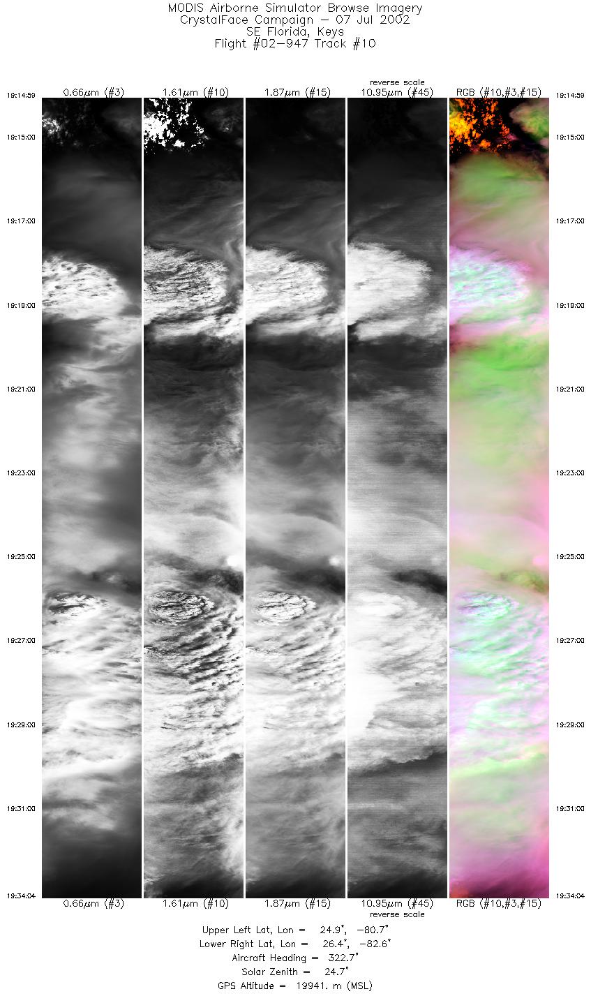
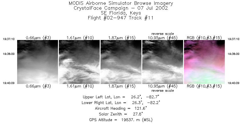
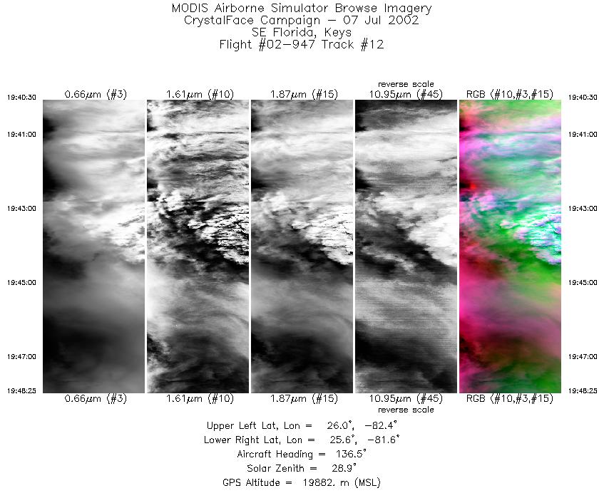
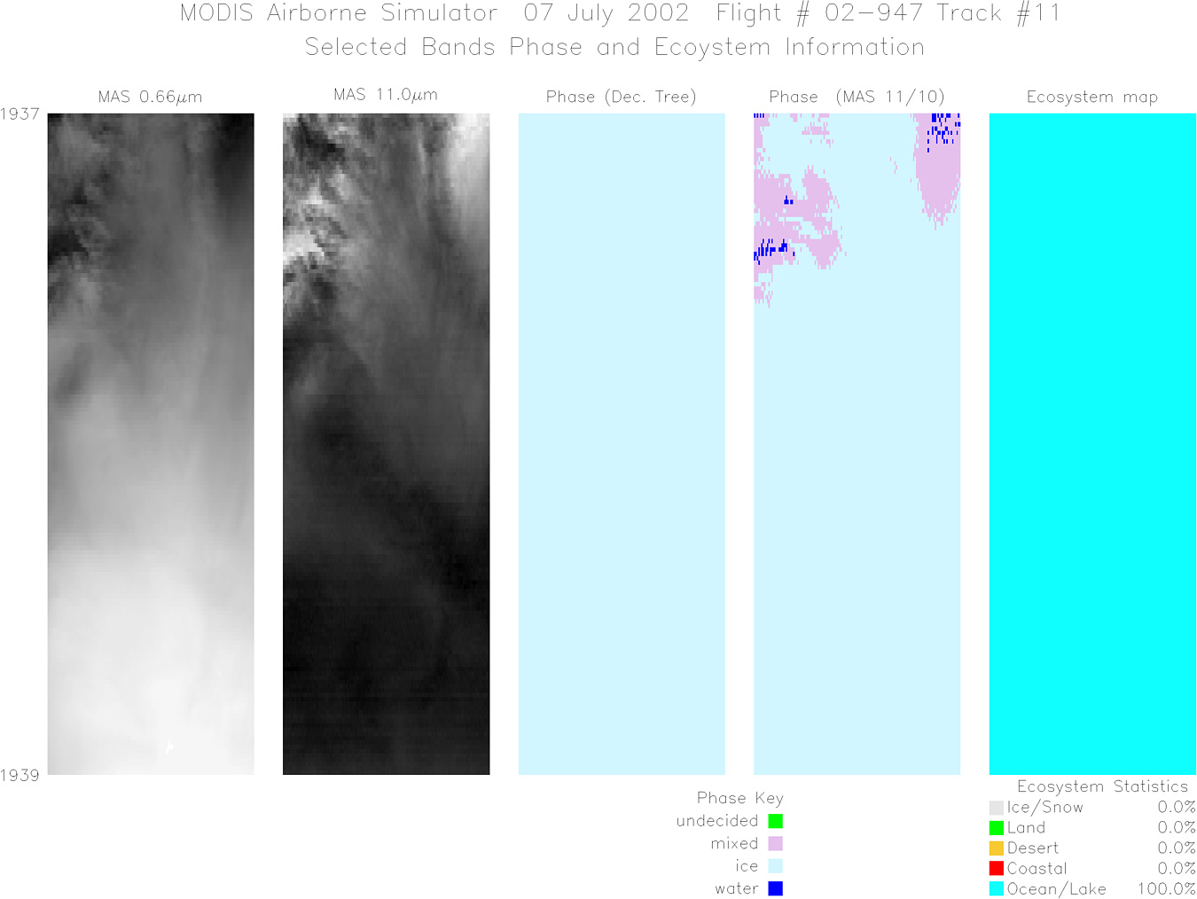
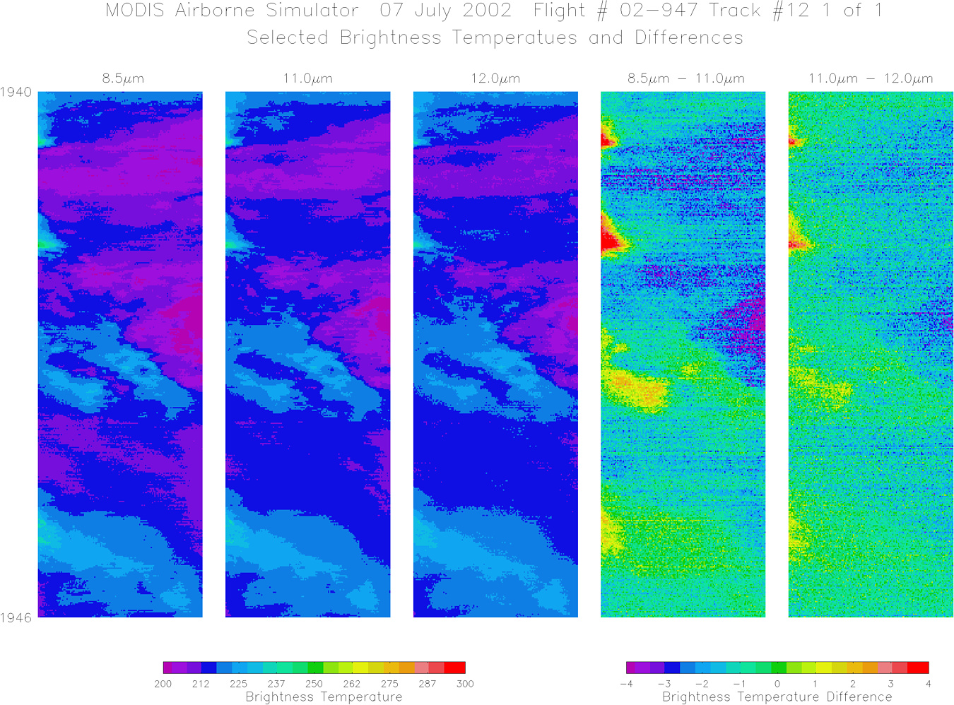
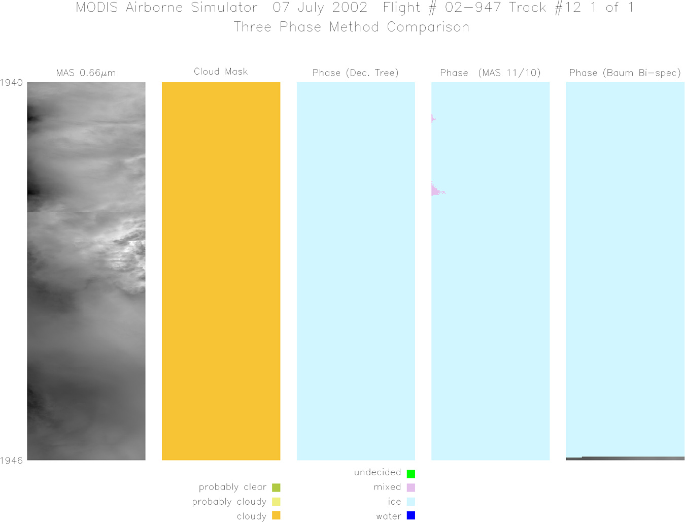
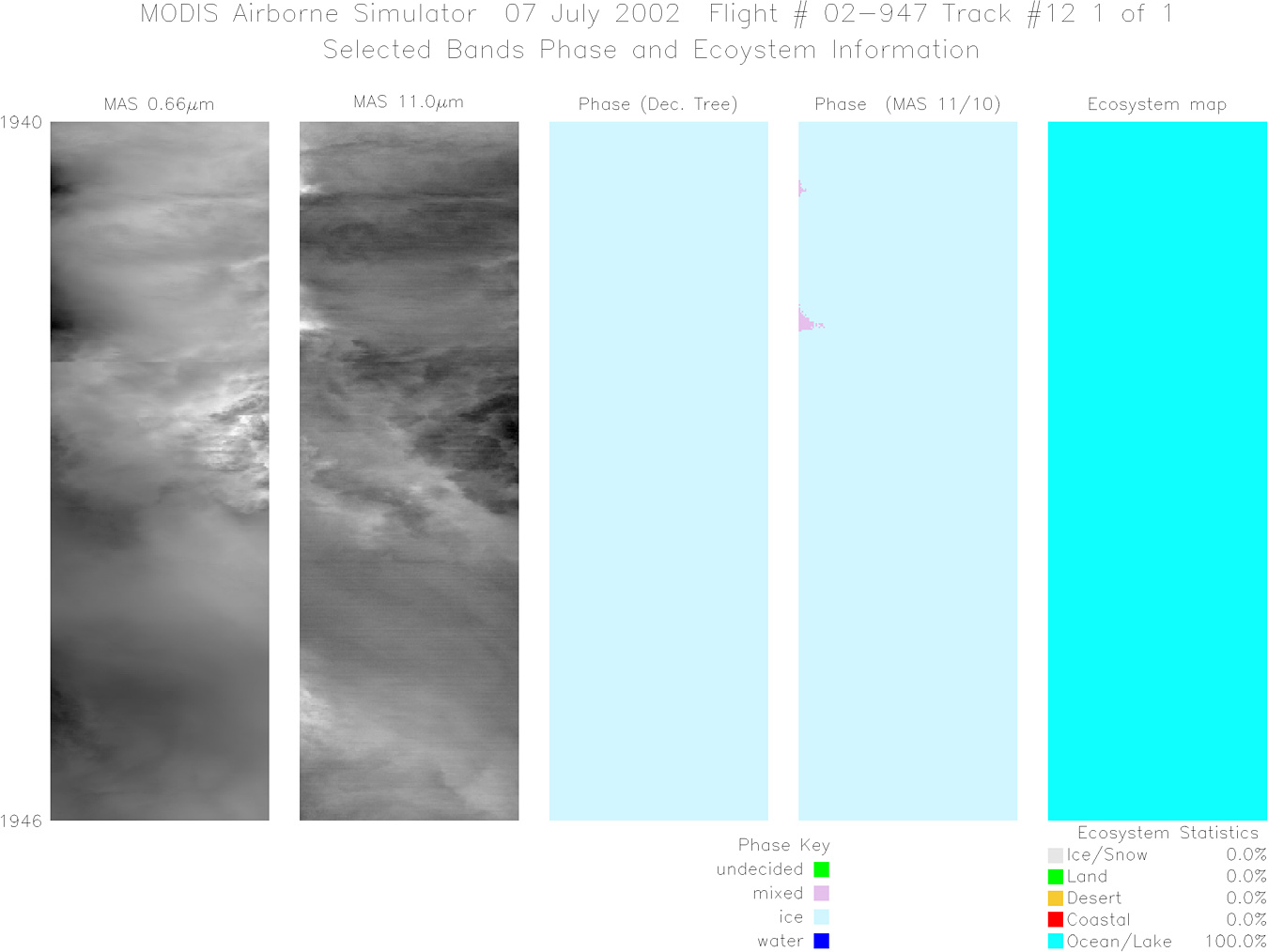
Flight 02-947


| Sample Imagery |
| Click image for full resolution |
|
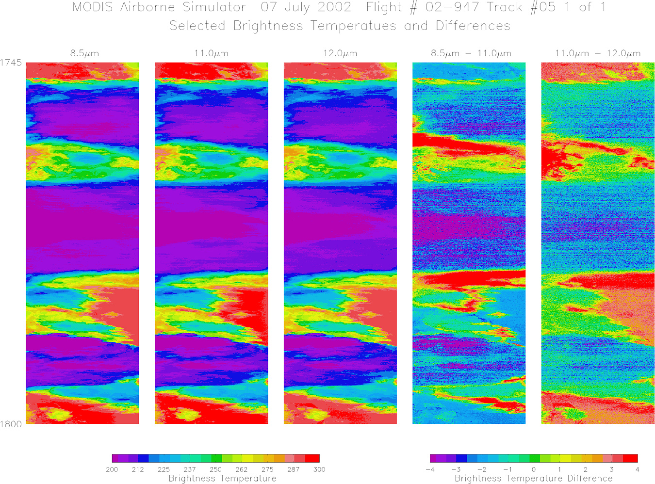
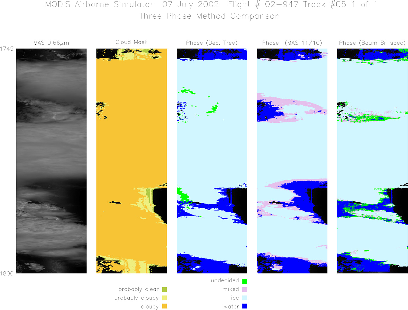
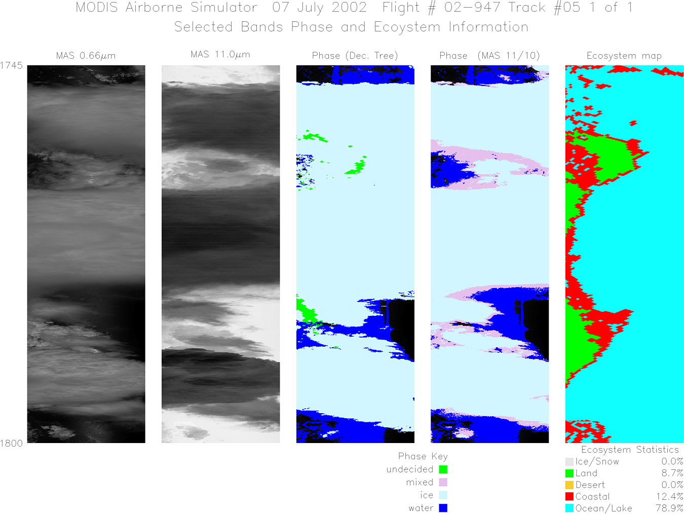
Track #05 Florida / Gulf of Mexico |


|
|
R: 1.64µm G: 0.66µm B: 1.90µm |
|
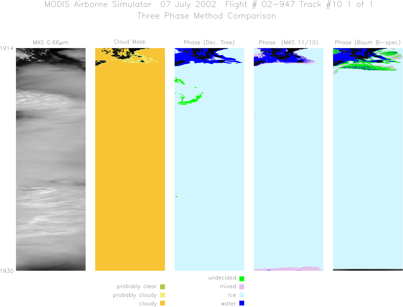
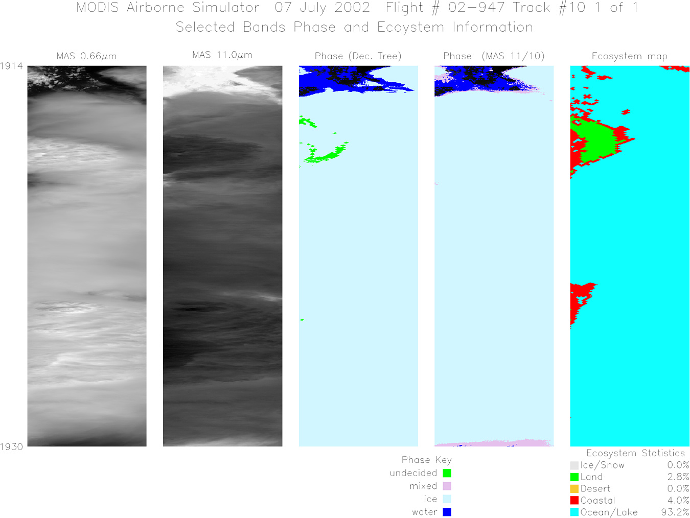
Track #10 Southern Florida |

|
|
R: 1.64µm G: 0.66µm B: 1.90µm |
- NASA Official: Matt Fladeland
- Project Manager: James Jacobson
- Website Editor: Eric Fraim
- Last Updated: November 16, 2021


