


MODIS Airborne Simulator (MAS)
FLIGHT SUMMARY INFORMATION


|
Flight: 02-945 Date: 01 July 2002 Location: California to Florida Deployment: CRYSTAL-FACE Principal Investigators: Drs. Michael King & Steven Platnick (NASA GSFC) Additional Sensors: CoSSIR, CPL, CRS, Dropsondes, EDOP, JLH, MMS, MTP, SSFR |
||||||||||||||||||||||||||||||||||||||||||||||||||||||||||||||||||||||||||||||||||||||||||||||||||||||||||||||||||||||||||||||||||||||||||||||||||||||||||||||||||||||||
|
Data Evaluation Overall quality is good |
||||||||||||||||||||||||||||||||||||||||||||||||||||||||||||||||||||||||||||||||||||||||||||||||||||||||||||||||||||||||||||||||||||||||||||||||||||||||||||||||||||||||
|
Processing Information Level-1B Data in HDF format is available Flight Line Summary Spectral Band Configuration Spectral Response Function Table |
||||||||||||||||||||||||||||||||||||||||||||||||||||||||||||||||||||||||||||||||||||||||||||||||||||||||||||||||||||||||||||||||||||||||||||||||||||||||||||||||||||||||
|
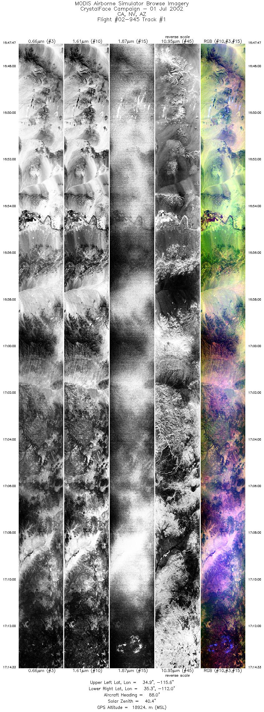
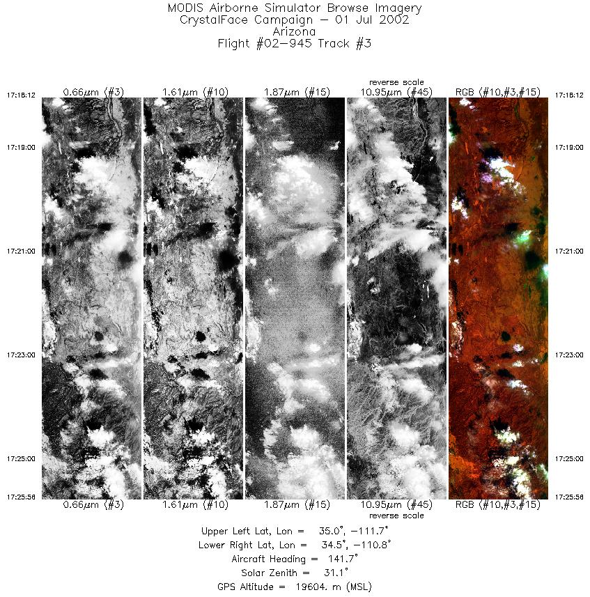
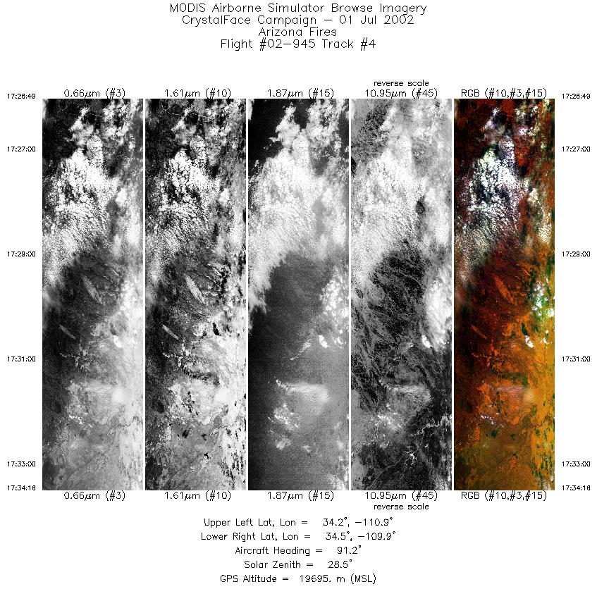
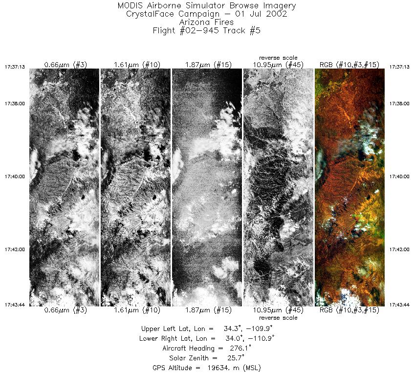
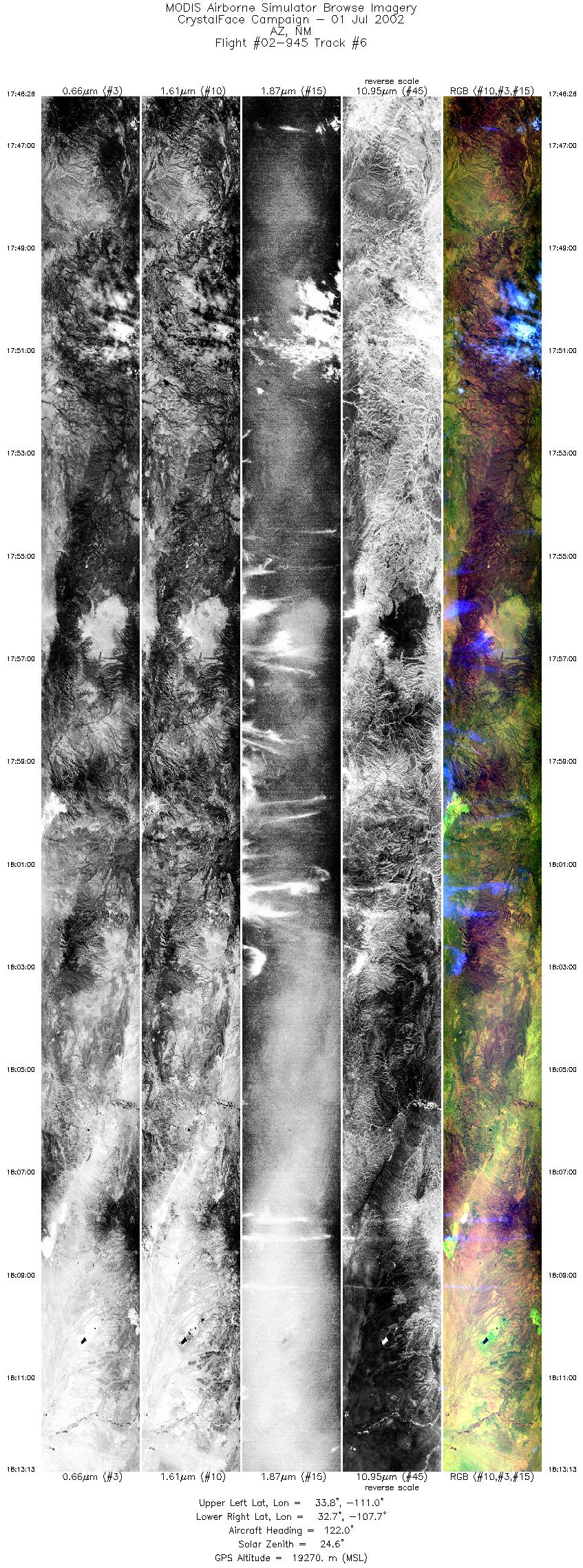
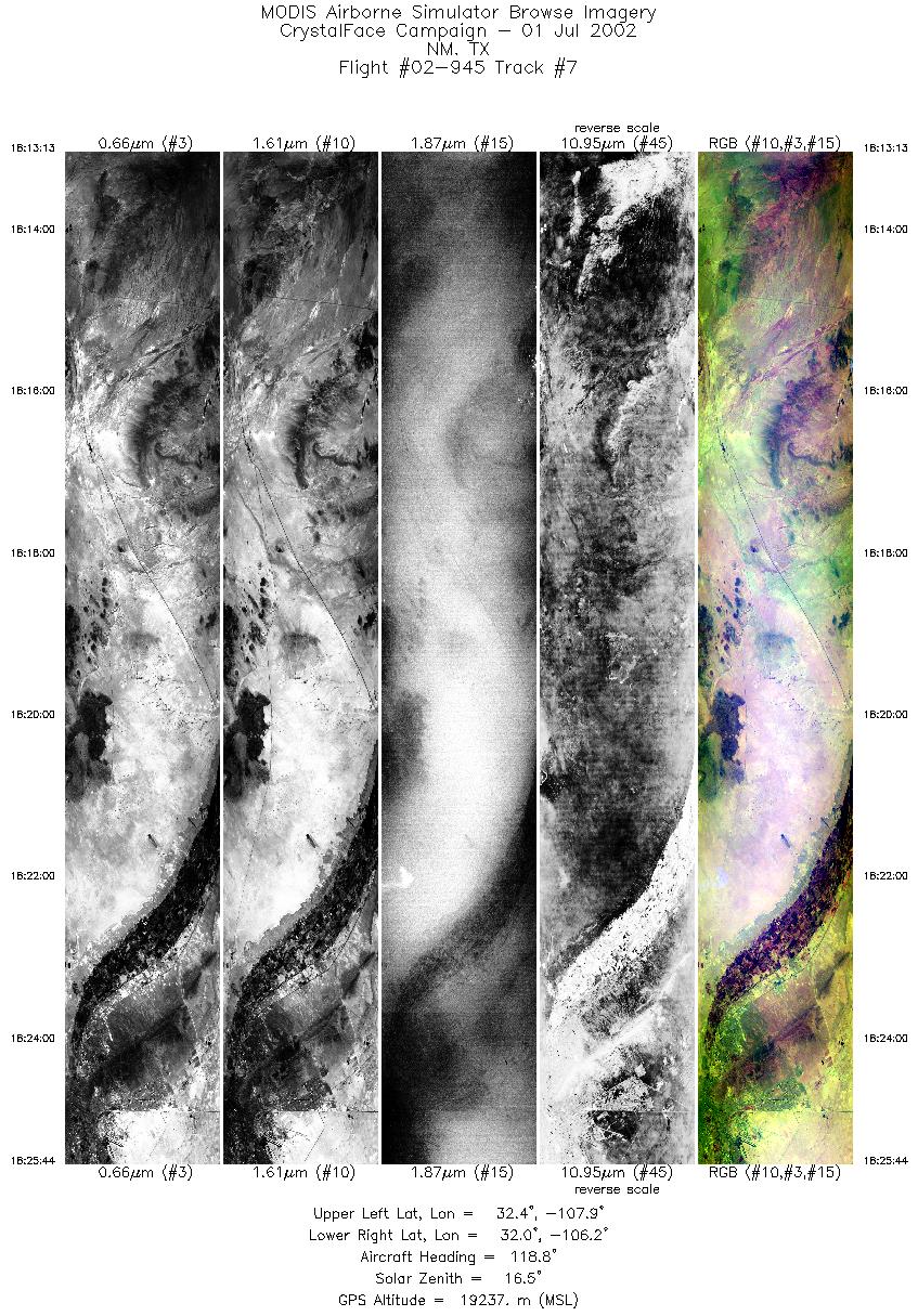
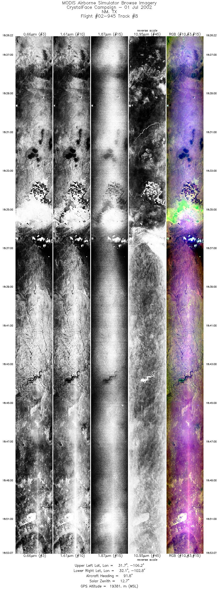
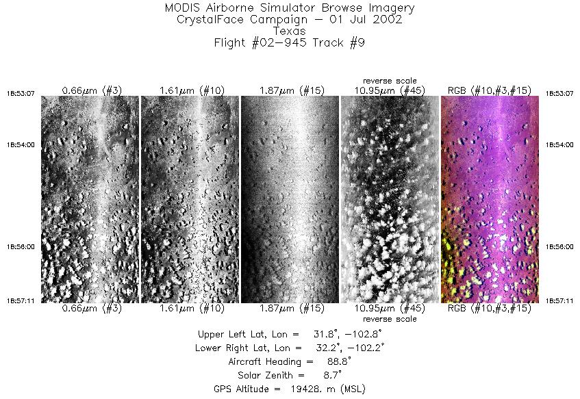
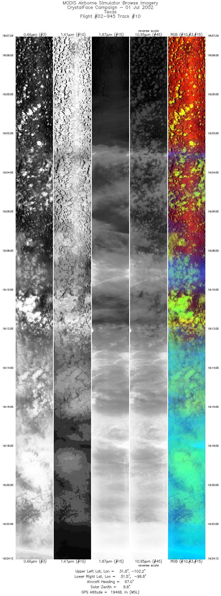
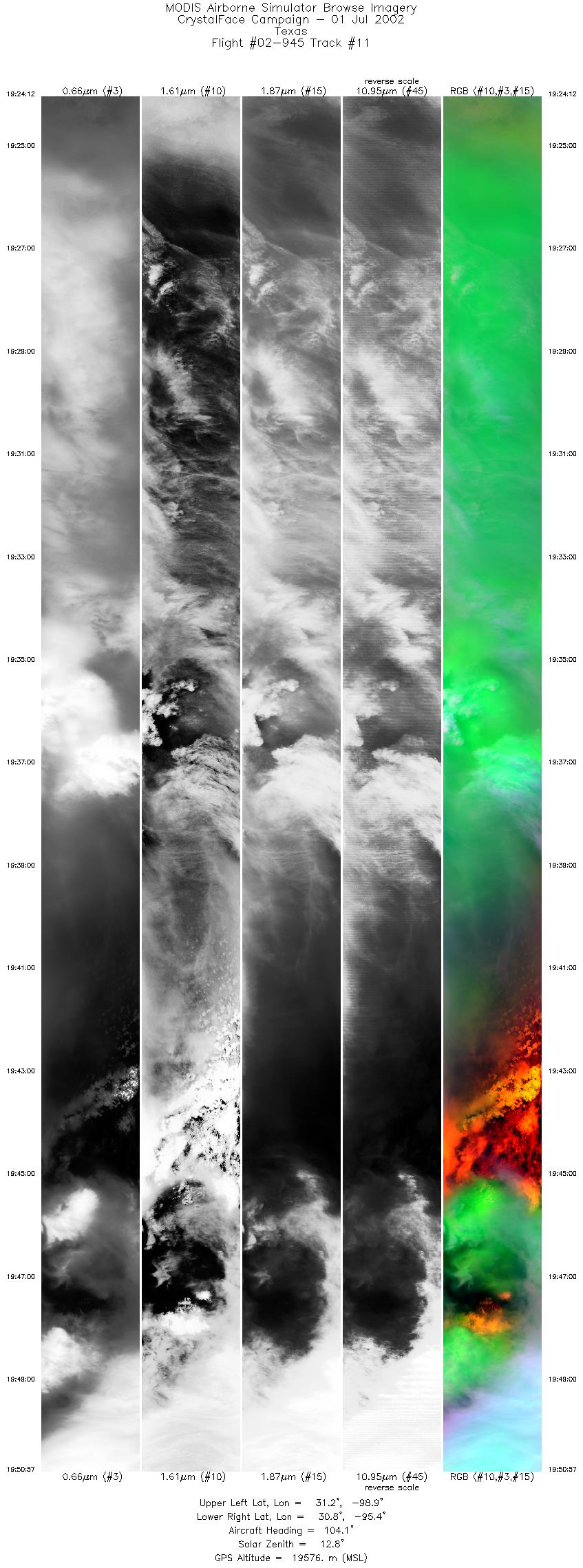
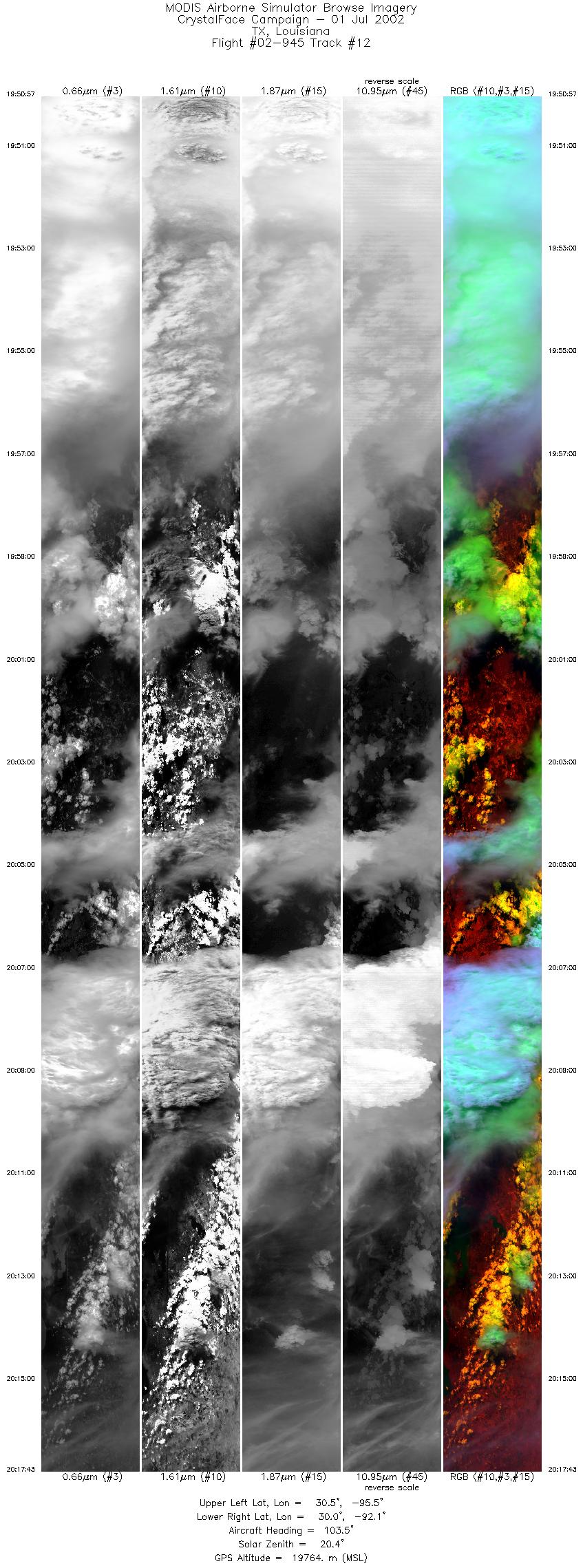
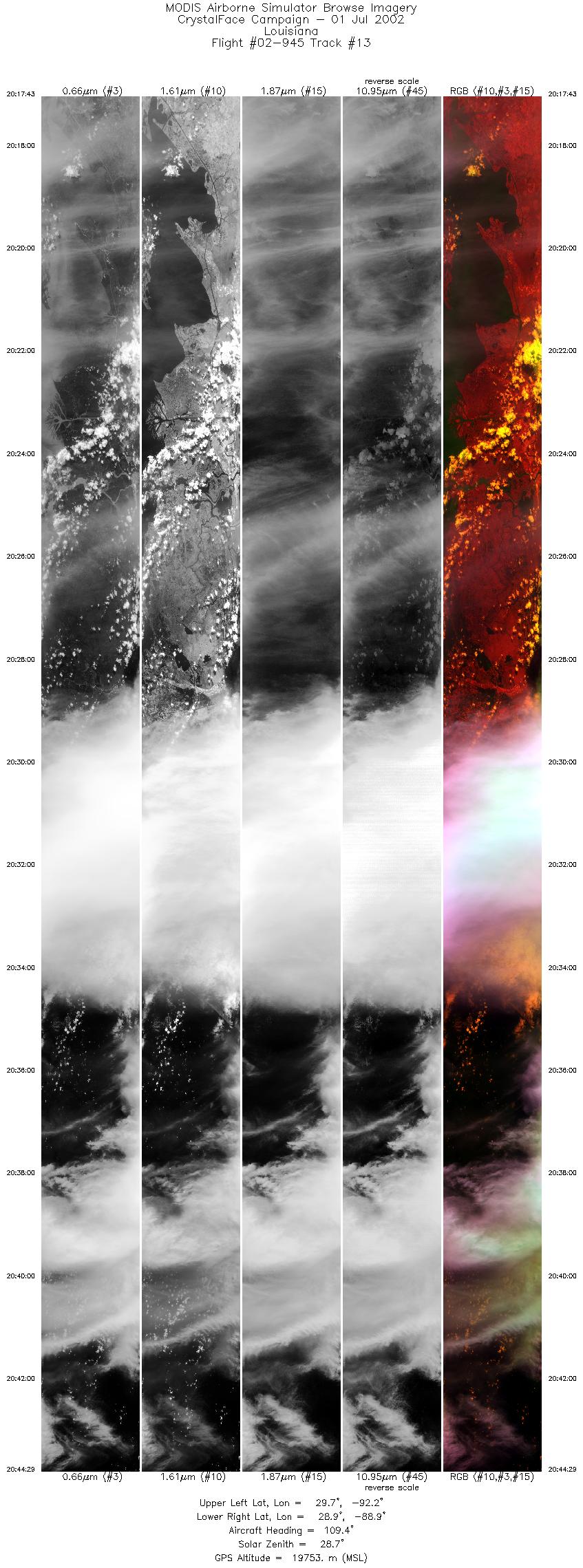
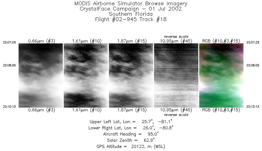
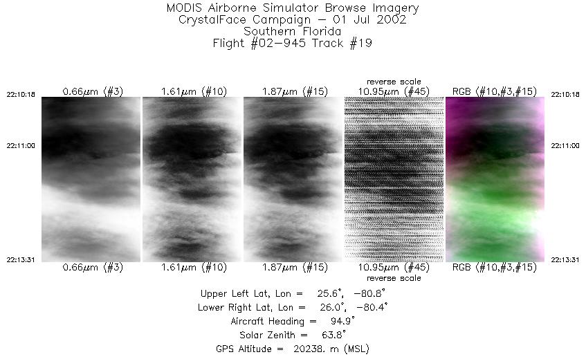
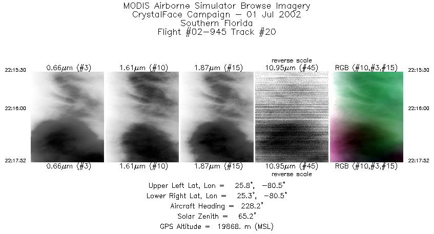
Browse Imagery Flight Tracks: 20 Scanlines: 113826 |
||||||||||||||||||||||||||||||||||||||||||||||||||||||||||||||||||||||||||||||||||||||||||||||||||||||||||||||||||||||||||||||||||||||||||||||||||||||||||||||||||||||||
|
||||||||||||||||||||||||||||||||||||||||||||||||||||||||||||||||||||||||||||||||||||||||||||||||||||||||||||||||||||||||||||||||||||||||||||||||||||||||||||||||||||||||
|
Flight Summary Report Mission Number: Ferry flight Author: S. Platnick ER-2 Pilot: J. Barrilleaux Takeoff: 1625 (UTC) Landing: 2255 (UTC) Duration: 6:30 (h:mm) ER-2 ferry flight from NASA Dryden Flight Research Center to Key West Naval Air Facility. Overfly six NWS radiosonde sites enroute for MTP calibration. Overfly western and eastern CRYSTAL-FACE ground sites or communication checks and science of opportunity. Route out of Dryden planned for overpass of forest fires in north central Arizona as authorized and paid for by the Dryden airborne sciences program. The pilot reported ~50% cloud cover with thin cirrus for both runs over the Arizona fires; also reported extensive thunderstorms over Texas. Satellite & Ground Site Information
Western Site: PARSL, Everglades National Park, Gulf Coast Visitor's Center
|
||||||||||||||||||||||||||||||||||||||||||||||||||||||||||||||||||||||||||||||||||||||||||||||||||||||||||||||||||||||||||||||||||||||||||||||||||||||||||||||||||||||||

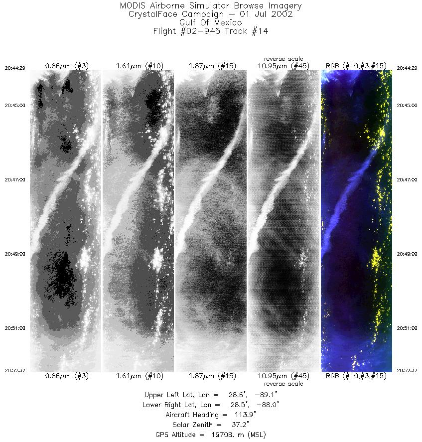
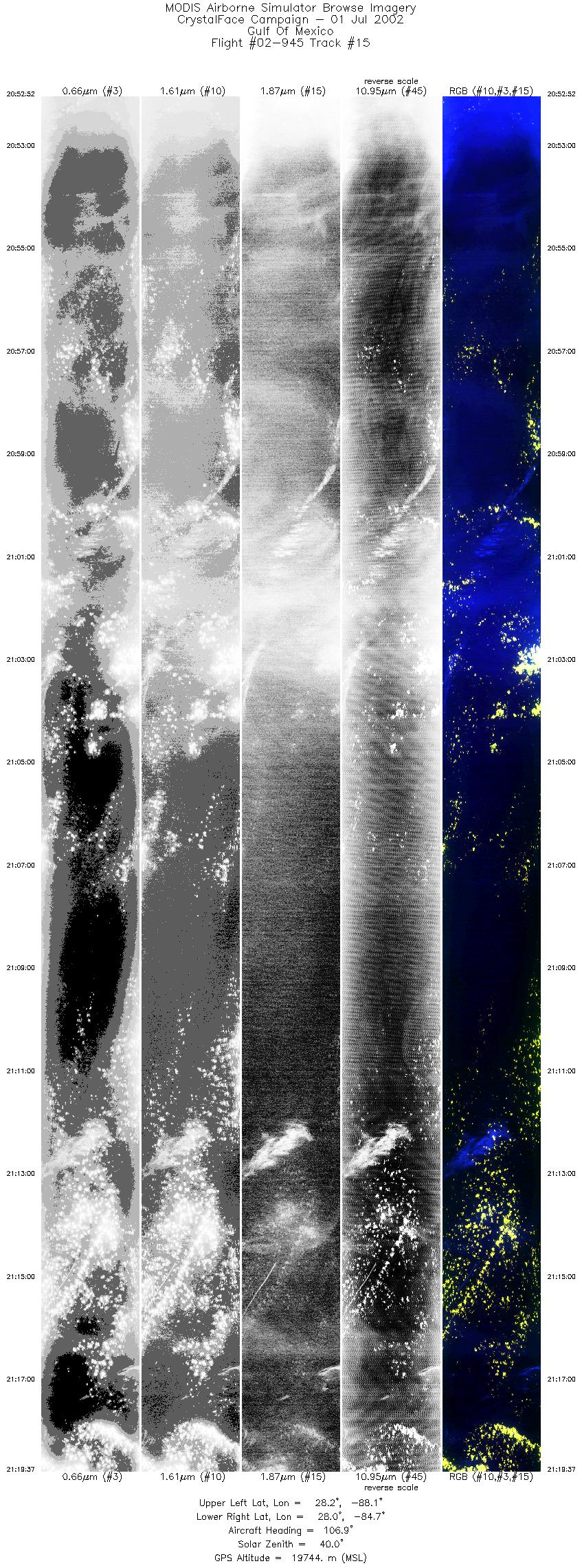
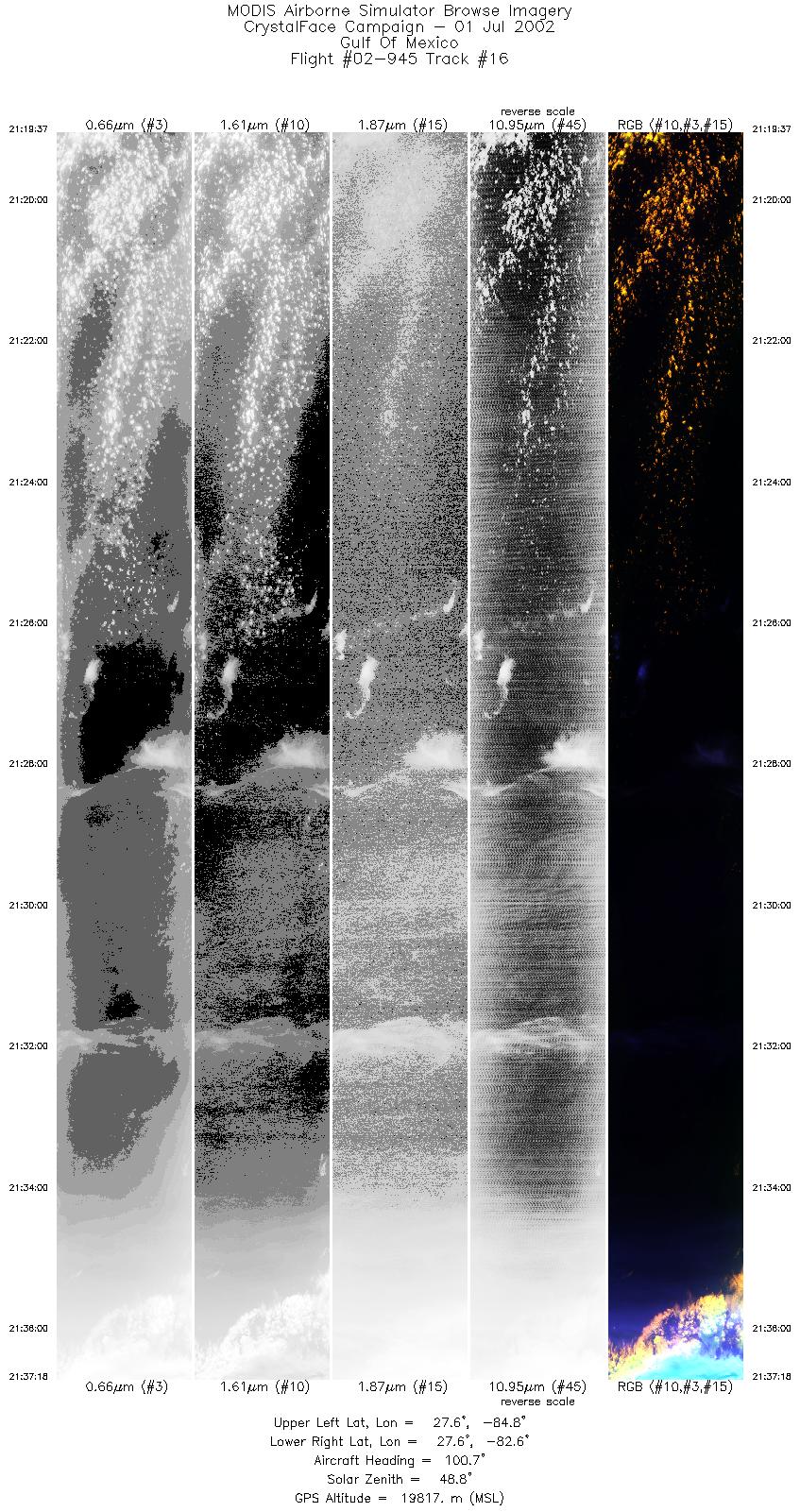
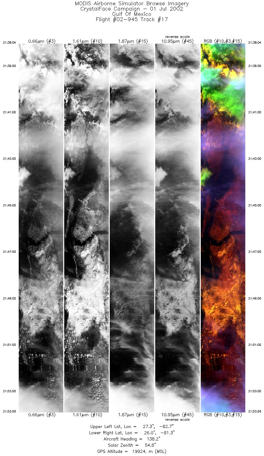
Flight 02-945


| Sample Imagery |
| Click image for full resolution |
|
Track #05 Rodeo-Chediski Fire (Eastern Arizona) |


|
|
R: 3.84µm G: 2.15µm B: 1.64µm |
|
Track #12 Texas / Louisiana |

|
|
R: 1.64µm G: 0.66µm B: 1.90µm |
- NASA Official: Matt Fladeland
- Project Manager: James Jacobson
- Website Editor: Eric Fraim
- Last Updated: November 16, 2021


