


MODIS Airborne Simulator (MAS)
FLIGHT SUMMARY INFORMATION
Flight Track Map


|
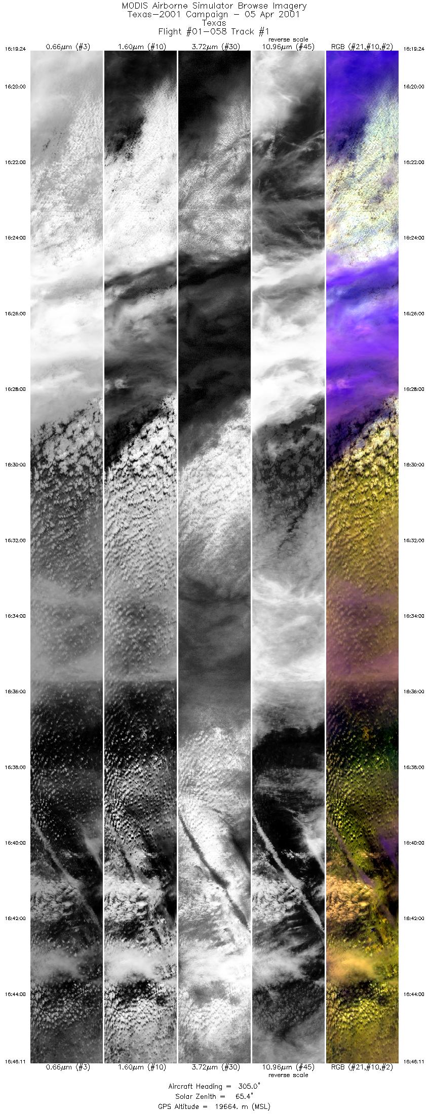
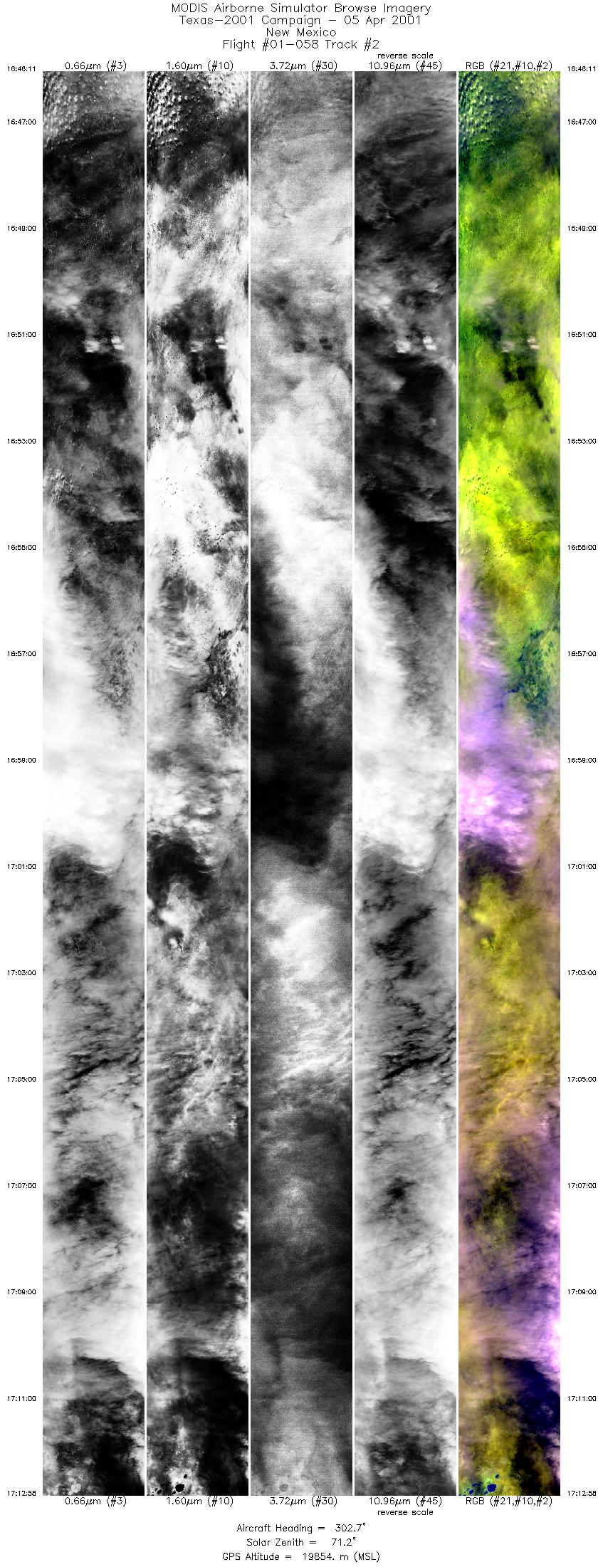
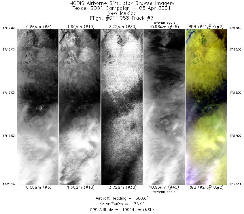
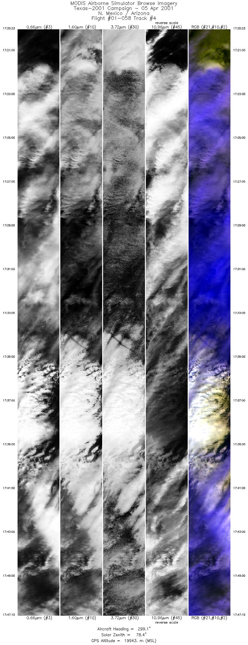
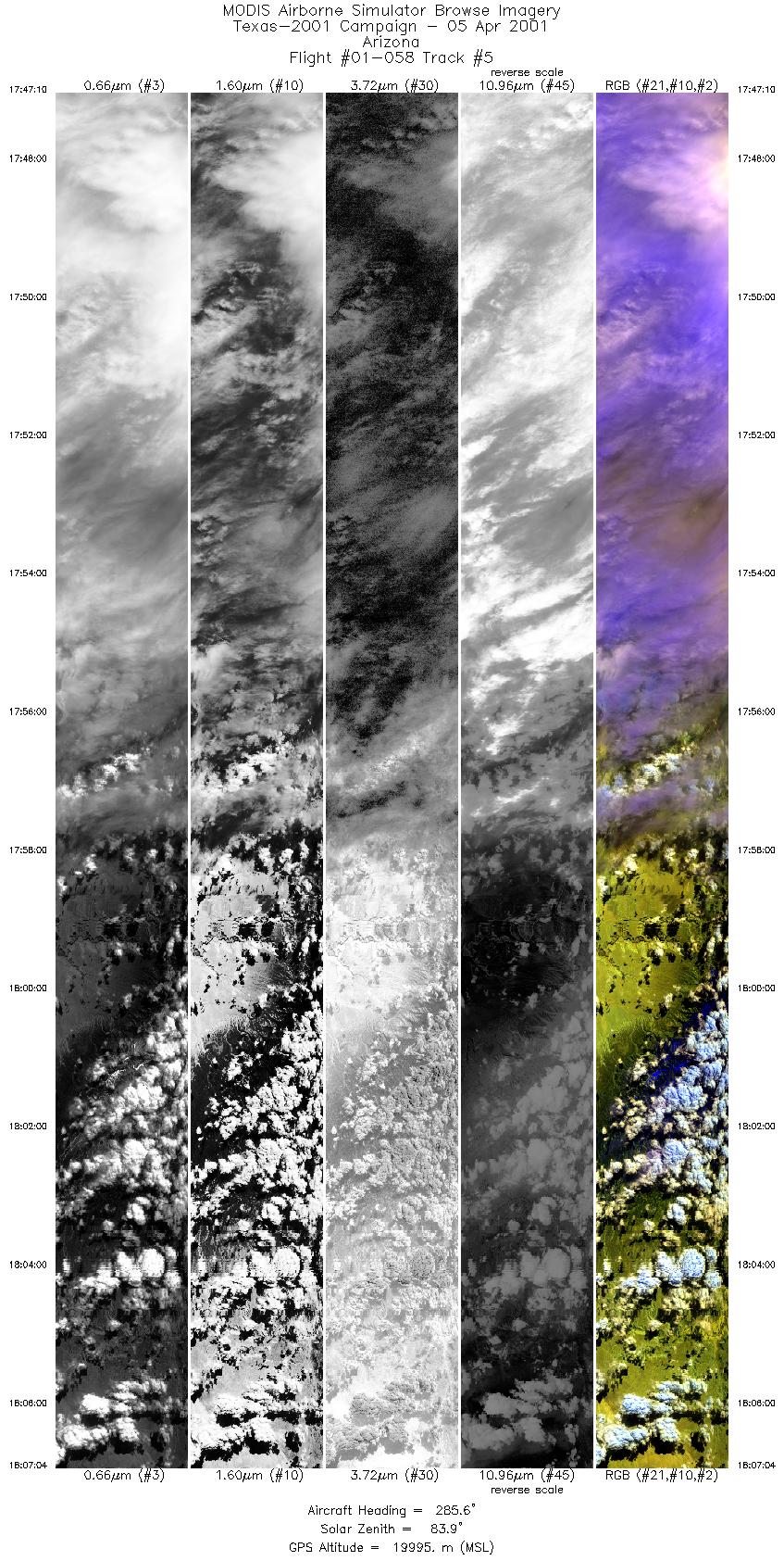
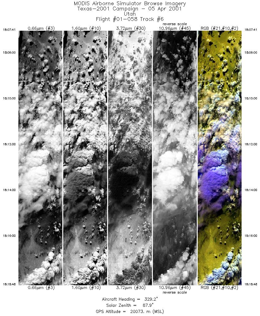
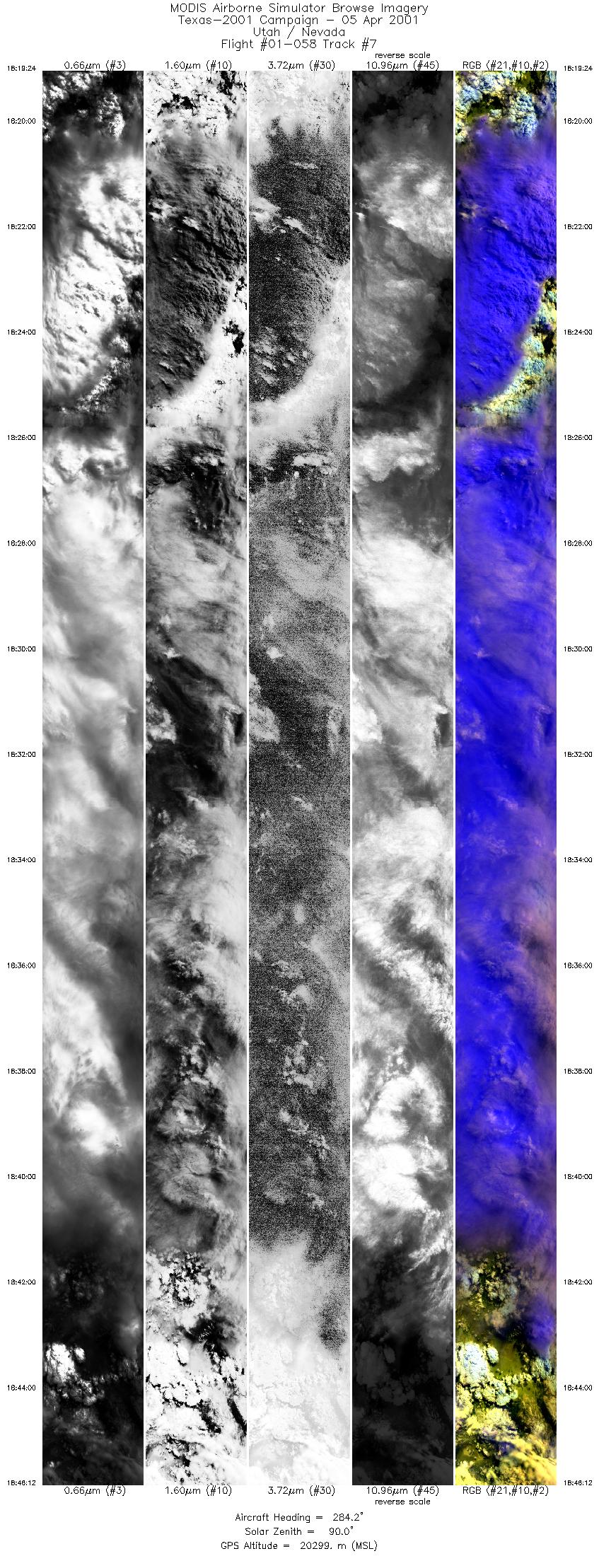
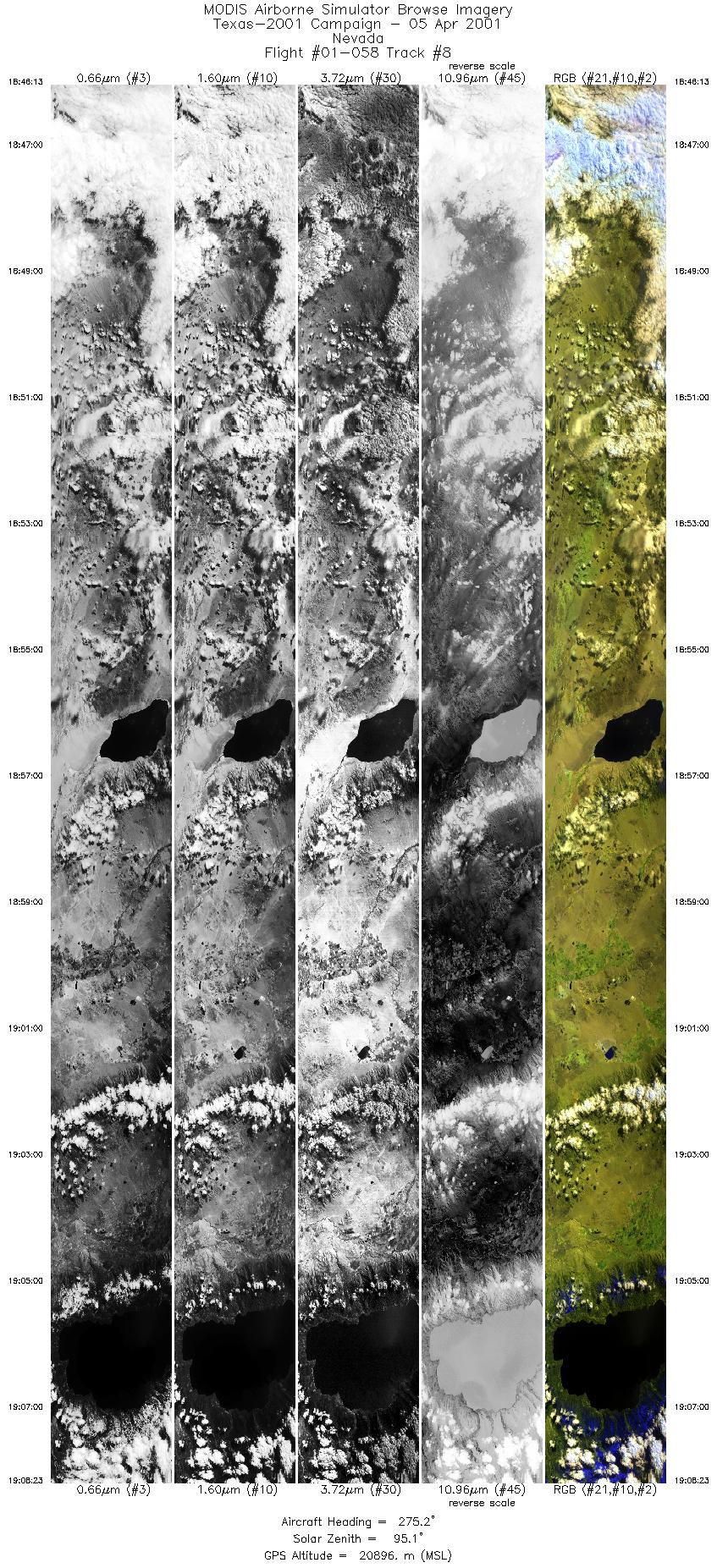
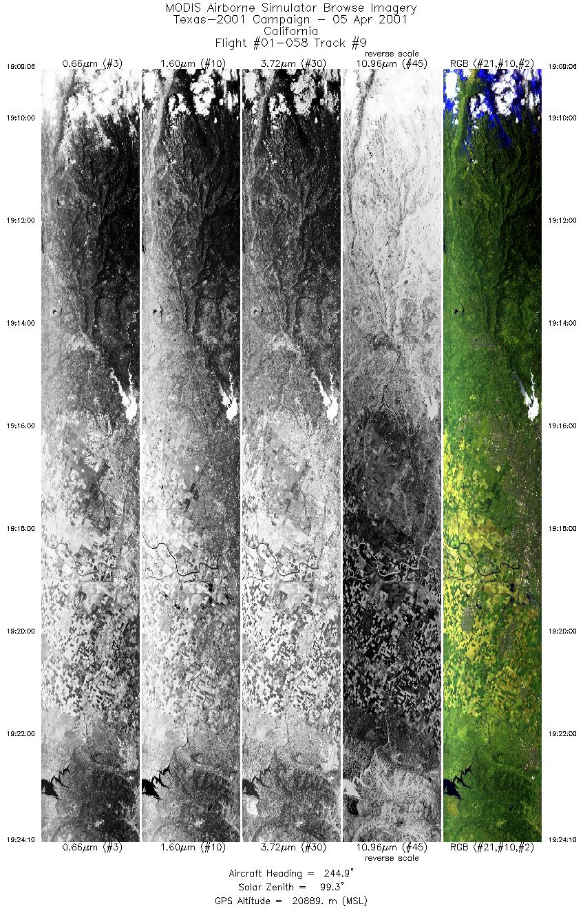
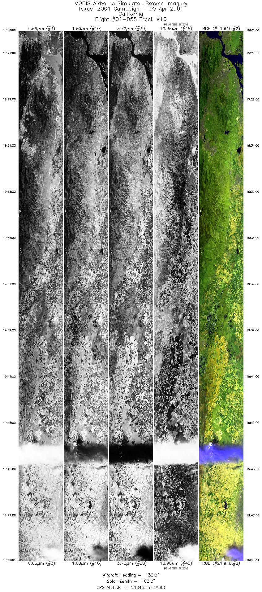
Flight: 01-058 Date: 5 April 2001 Location: Kelly AFB to DFRC (via Lake Tahoe, CA) Deployment: TX-2001 Principal Investigators: Moeller (UWisc) Additional Sensors: S-HIS, VIS, Dual HR-732 (CIR) Objective: Assess MAS performance over Lake Tahoe during ferry flight |
||||||||||||||||||||||||||||||||||||||||||||||||||||||||||||||||||||||||||||||||||||||||||||||||||
|
Data Evaluation Overall quality is good Numerous dropped scanlines due to air turbulence buffetting the aircraft |
||||||||||||||||||||||||||||||||||||||||||||||||||||||||||||||||||||||||||||||||||||||||||||||||||
|
Processing Information Level-1B Data in HDF format is available Flight Line Summary Spectral Band Configuration Spectral Response Function Table |
||||||||||||||||||||||||||||||||||||||||||||||||||||||||||||||||||||||||||||||||||||||||||||||||||
|
Browse Imagery Flight Tracks: 10 Scanlines: 76718 |
||||||||||||||||||||||||||||||||||||||||||||||||||||||||||||||||||||||||||||||||||||||||||||||||||
|
||||||||||||||||||||||||||||||||||||||||||||||||||||||||||||||||||||||||||||||||||||||||||||||||||

Flight 01-058


| Sample Imagery |
| Click image for full resolution |
|
Track #9 California Central Valley |


|
|
R: 2.13µm G: 1.62µm B: 0.55µm |
- NASA Official: Matt Fladeland
- Project Manager: James Jacobson
- Website Editor: Eric Fraim
- Last Updated: November 16, 2021


