


MODIS Airborne Simulator (MAS)
FLIGHT SUMMARY INFORMATION


|
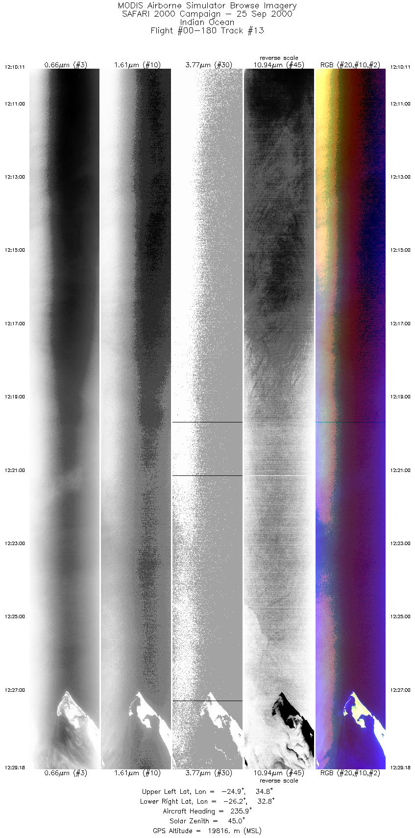
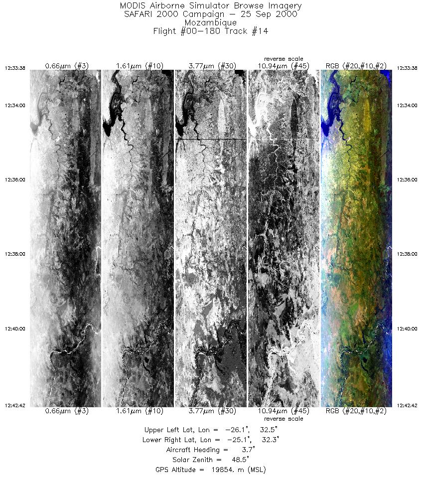
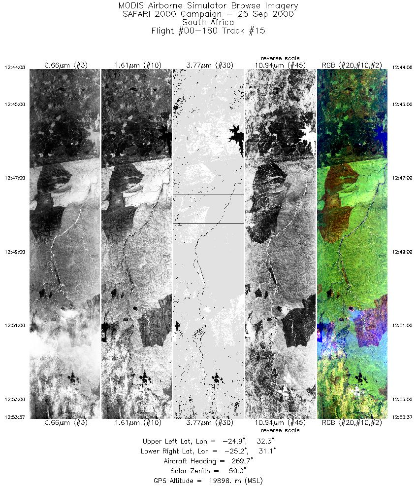
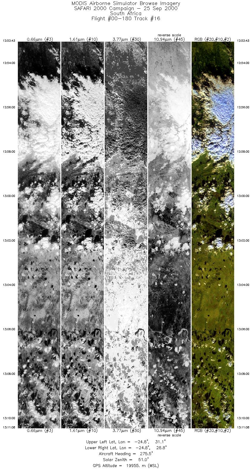
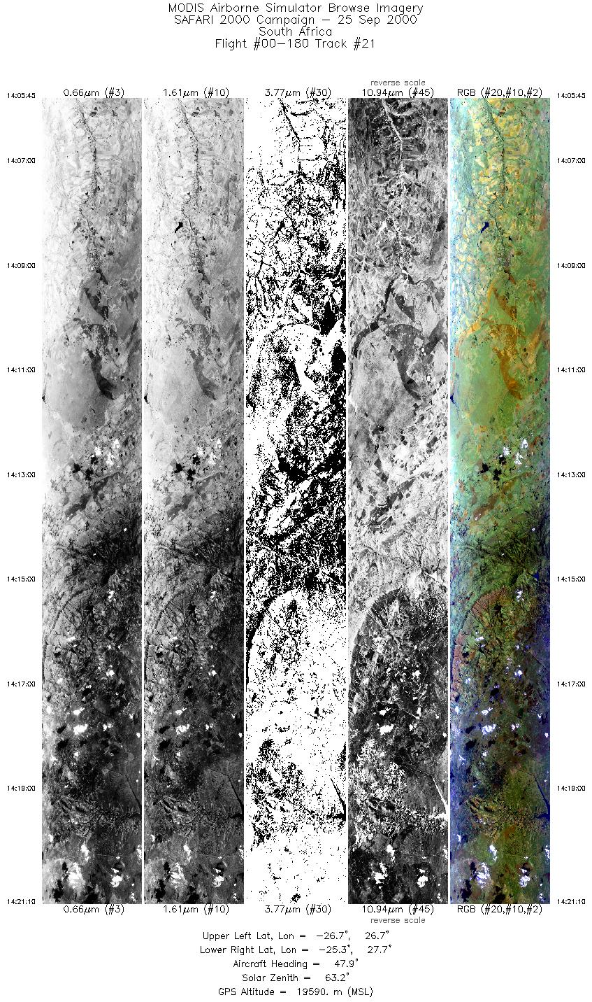
Flight: 00-180 Date: 25 September 2000 Location: South Africa, Malawi, Mozambique, and Indian Ocean Deployment: SAFARI Principal Investigator: Dr. Michael King (NASA GSFC) Flight Scientist: Dr. Steven Platinick (NASA GSFC) Additional Sensors: AirMISR, CLS, LAS, MOPITT-A, S-HIS, & SSFR Objective: To understand the key linkages between the physical, chemical and biological processes, including human activities, that comprise the southern African biogeophysical system. |
|||||||||||||||||||||||||||||||||||||||||||||||||||||||||||||||||||||||||||||||||||||||||||||||||||||||||||||||||||||||||||||||||||||||||||||||||||||||||||||||||||||||||||||||
|
Data Evaluation Overall quality is good |
|||||||||||||||||||||||||||||||||||||||||||||||||||||||||||||||||||||||||||||||||||||||||||||||||||||||||||||||||||||||||||||||||||||||||||||||||||||||||||||||||||||||||||||||
|
Processing Information Level-1B Data in HDF format is available Flight Line Summary Spectral Band Configuration Spectral Response Function Table |
|||||||||||||||||||||||||||||||||||||||||||||||||||||||||||||||||||||||||||||||||||||||||||||||||||||||||||||||||||||||||||||||||||||||||||||||||||||||||||||||||||||||||||||||
|
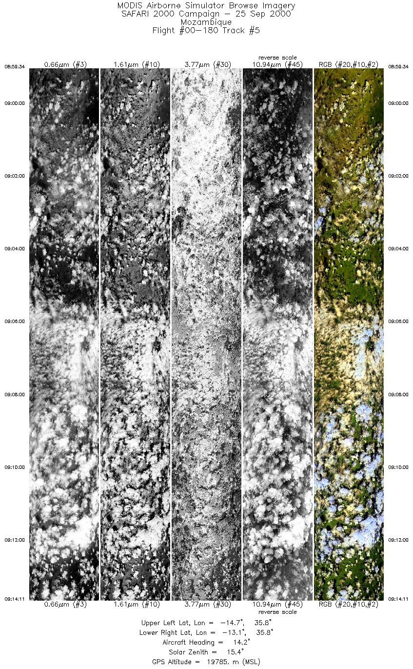
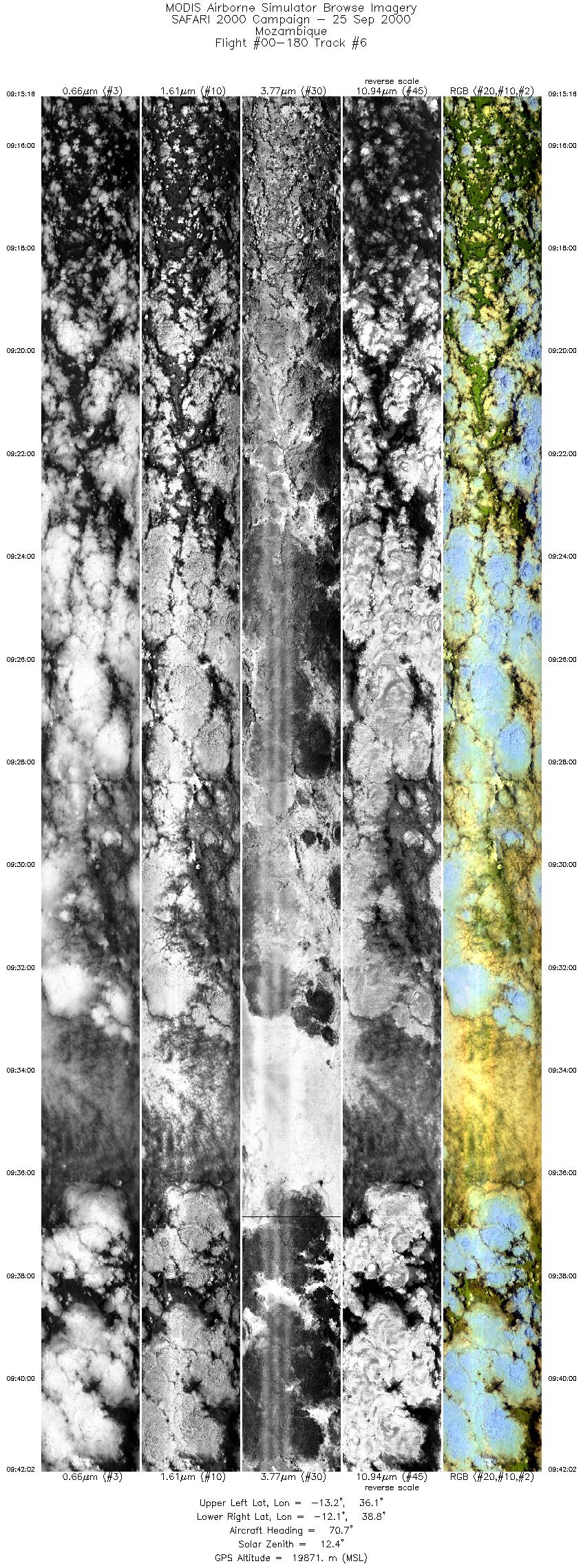
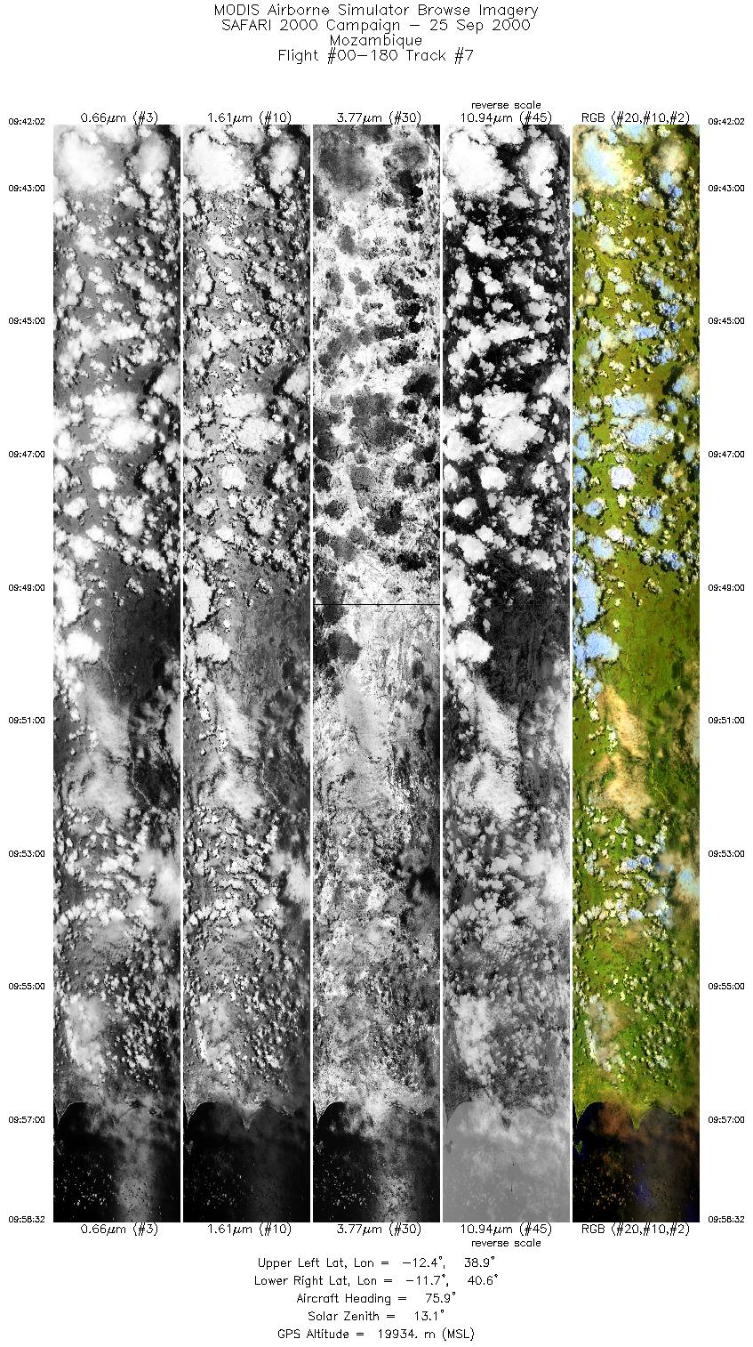
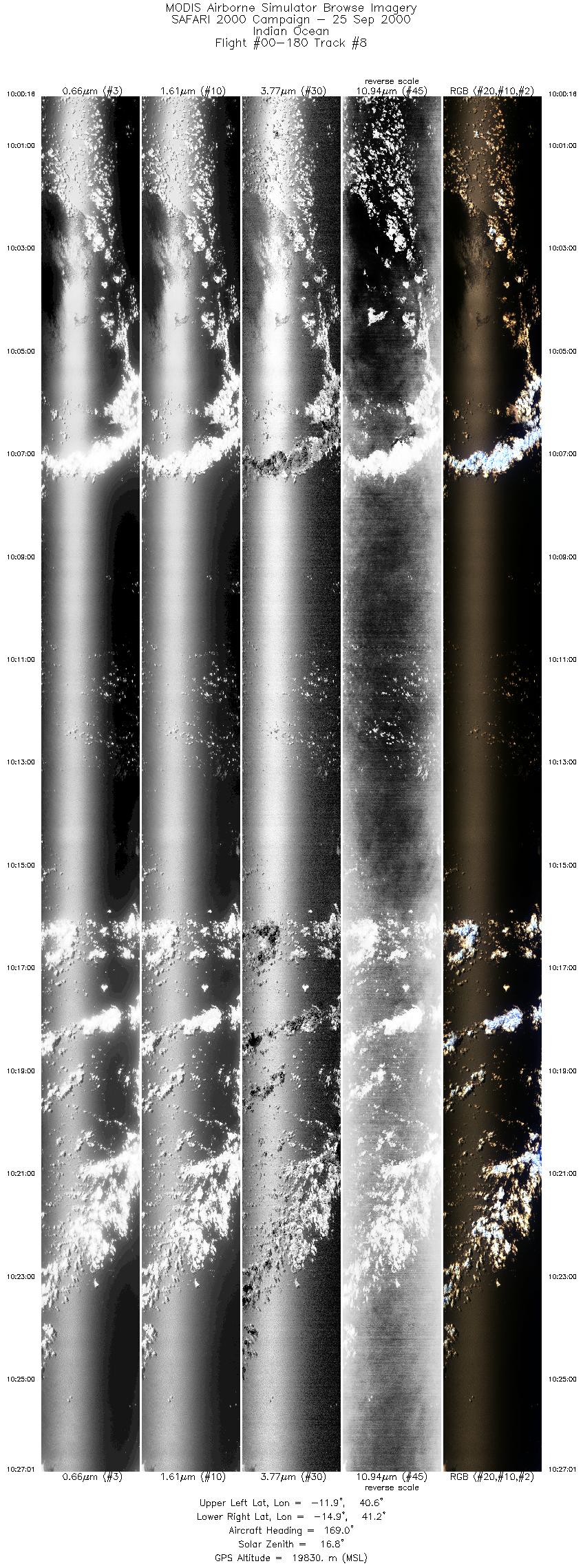
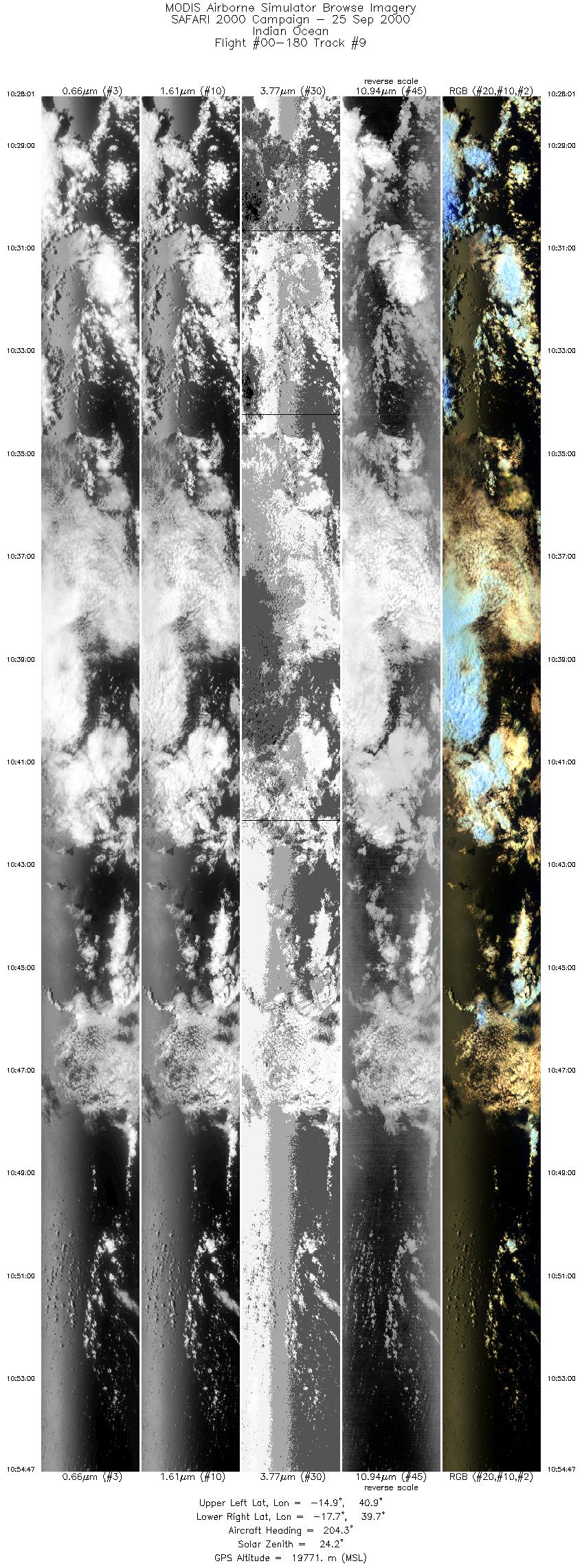
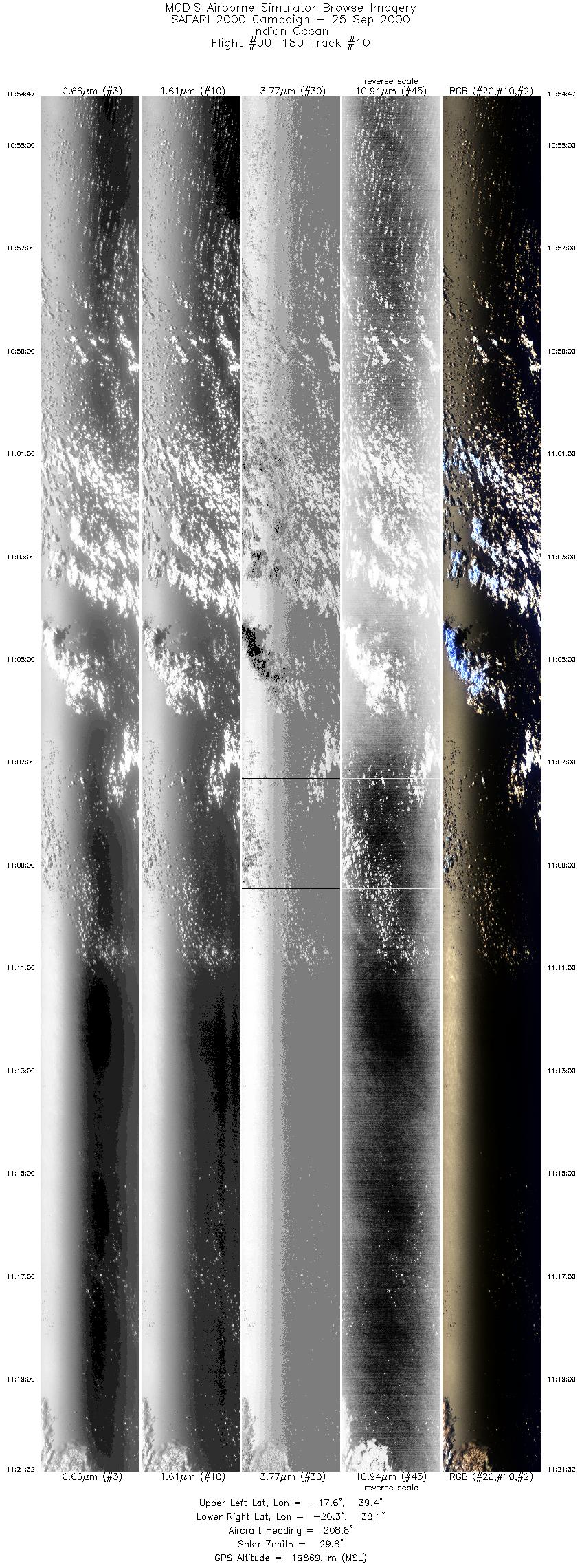
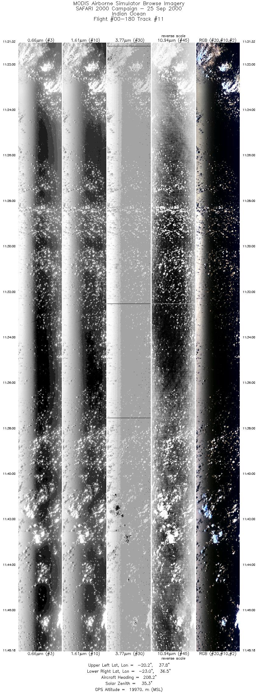
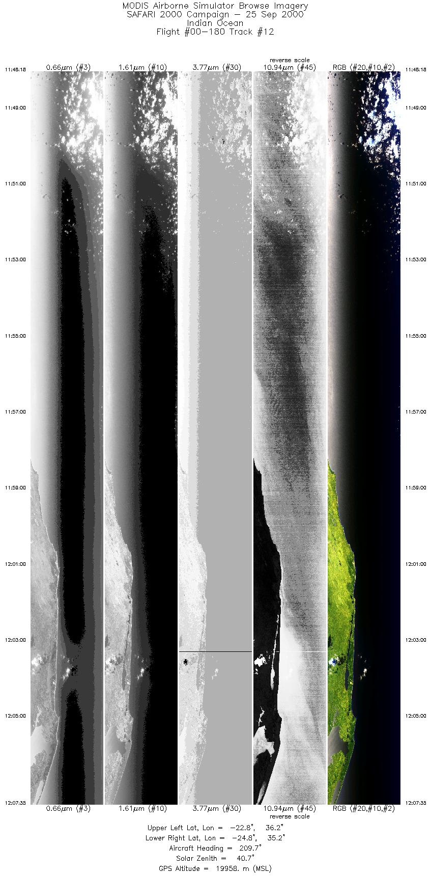
Browse Imagery Flight Tracks: 21 Scanlines: 146117 |
|||||||||||||||||||||||||||||||||||||||||||||||||||||||||||||||||||||||||||||||||||||||||||||||||||||||||||||||||||||||||||||||||||||||||||||||||||||||||||||||||||||||||||||||
|
|||||||||||||||||||||||||||||||||||||||||||||||||||||||||||||||||||||||||||||||||||||||||||||||||||||||||||||||||||||||||||||||||||||||||||||||||||||||||||||||||||||||||||||||
|
Flight Summary Report Author: Steve Platnick Mission Scientist: Dr. Michael King ER-2 Pilot: Jan Nystrom Takeoff: 0700 (UTC) Landing: 1458 (UTC) Duration: 7:58 (h:mm) Objective and Summary:
RC-10 photography was acquired over the two ground sites, the industrial/power plant legs, and various points of opportunity in Mozambique (smoke plume across ER-2 track at 0748 UTC, coastal areas at 0955, 1204 UTC). Key Flight Legs:The ER-2 flight track through central Mozambique was directly underneath and oriented with Terra (19° 42´ S, 34° 30´ E; 0814 UTC, 12° inclination). Skies were clear through most of the Mozambique legs with some clouds to the northern part of the country, and a band of scattered low cloud near the time of the Terra overpass. The coastal run was predominantly clear sky wind some undercast scenes. The return tracks over Inhaca Island (1227 UTC) and Skukuza (1255 UTC) were clear. A fire was observed close to the tower site, with its smoke merging with another plume from farther away. On an unprecedented fourth attempt, flight legs over the power plants and industrial sites (now known as the Annegarn run) were reported to be predominantly clear with an estimated 10% cloud cover. Highlights:A successful repeat of ER-2 mission 4 (24 August, sortie no. 00-150) where MAS only worked intermittently. AERONET sites and features overflown during this mission:
N/A Meteorology:N/A ER-2 Science Instrument Payload Status
|
|||||||||||||||||||||||||||||||||||||||||||||||||||||||||||||||||||||||||||||||||||||||||||||||||||||||||||||||||||||||||||||||||||||||||||||||||||||||||||||||||||||||||||||||

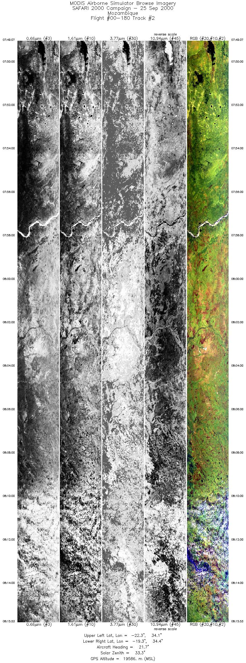
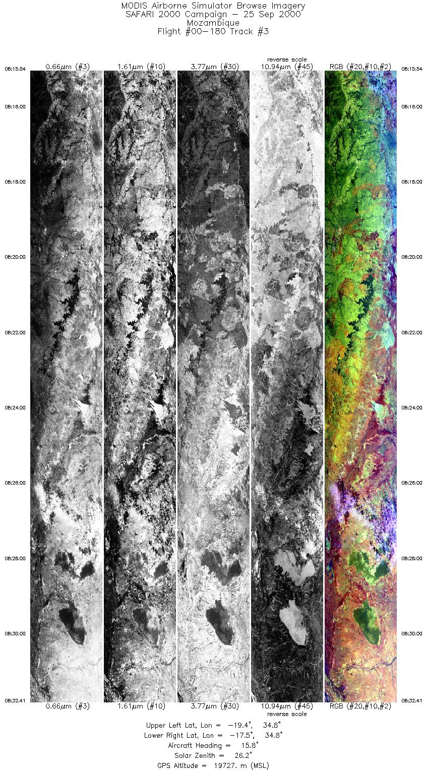
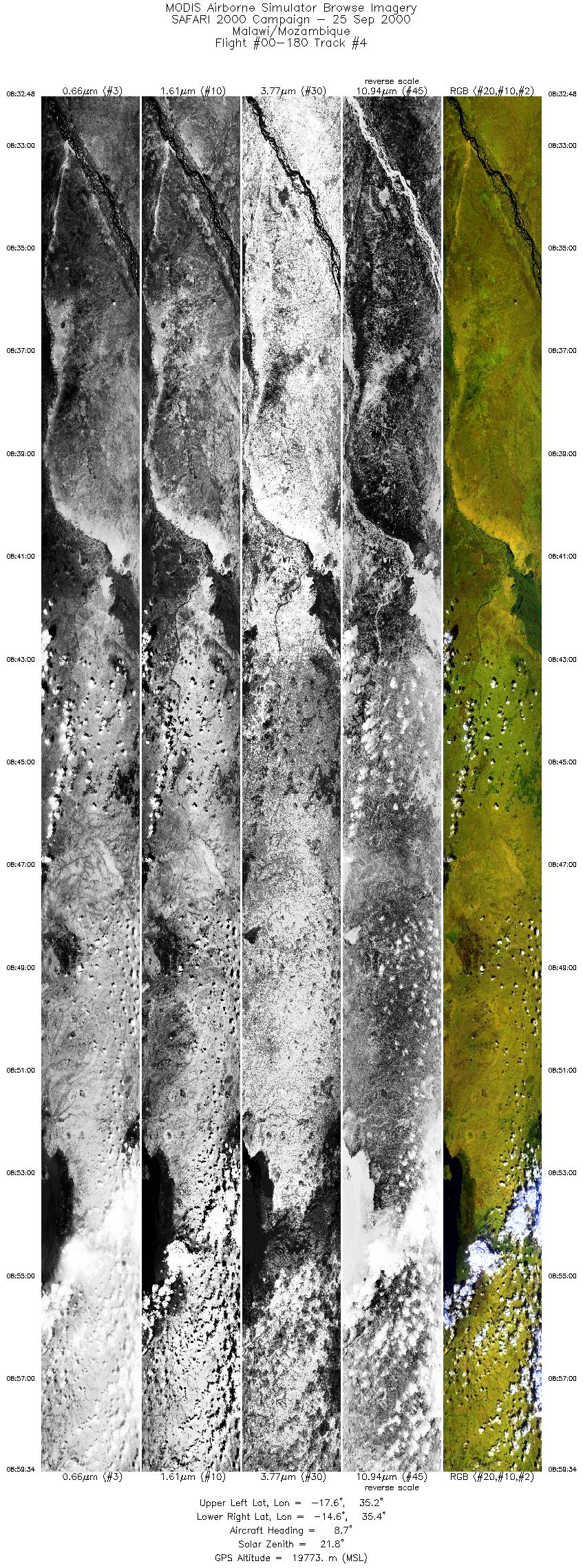
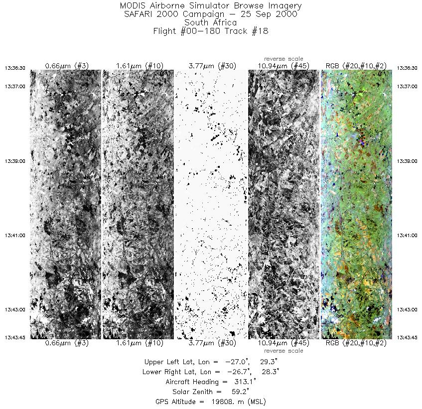
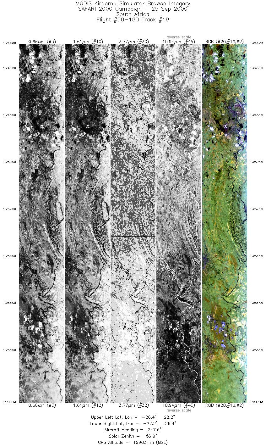
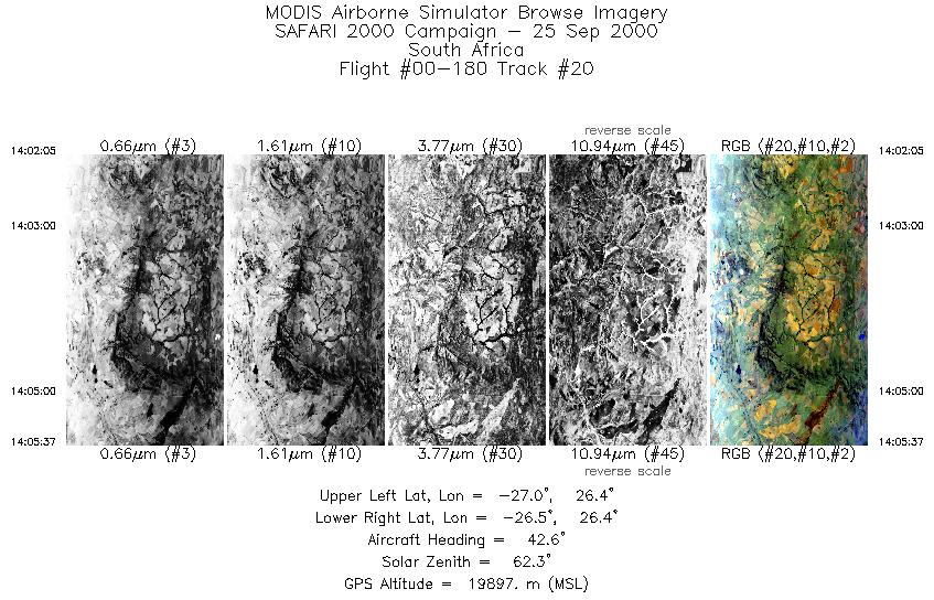
Flight 00-180


| Sample Imagery |
| Click image for full resolution |
|
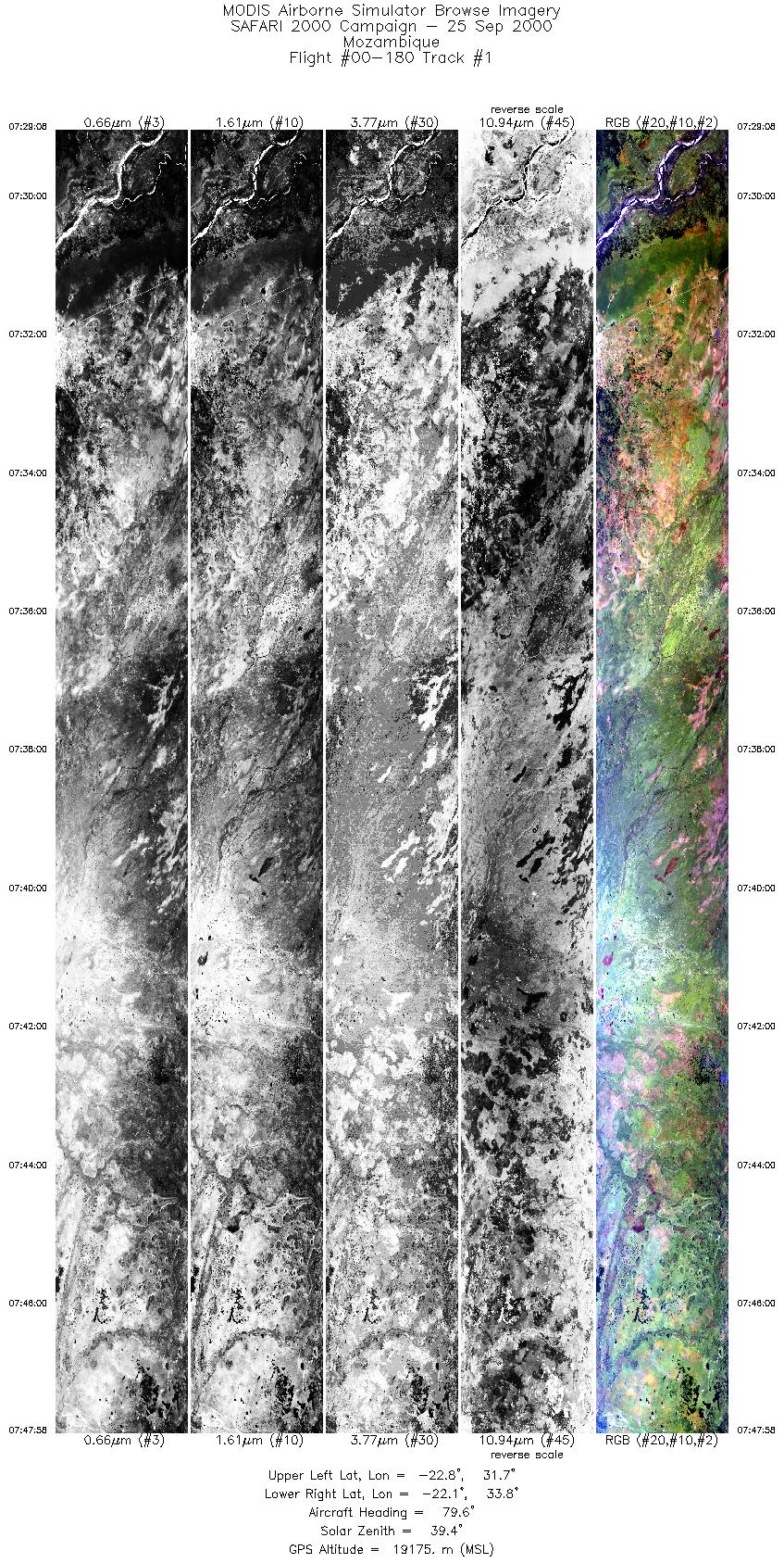
Track #1 Mozambique |


|
|
R: 2.15µm G: 0.91µm B: 0.55µm |
| Sample Imagery |
| Click image for full resolution |
|
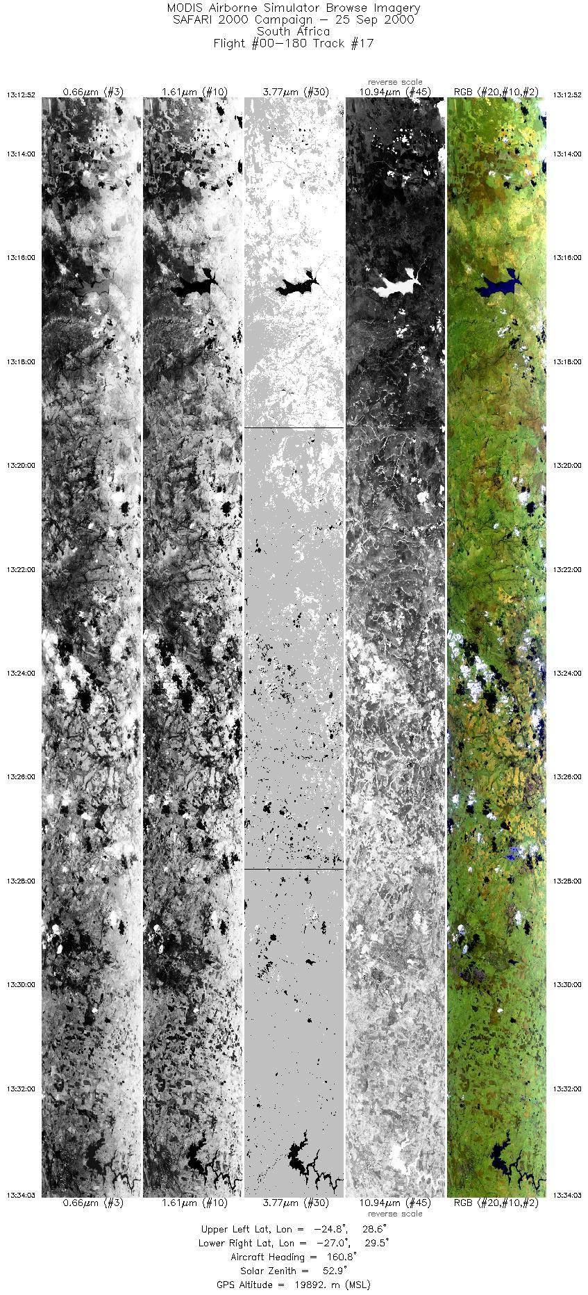
Track #17 South Africa |

|
|
R: 2.15µm G: 0.91µm B: 0.55µm |
- NASA Official: Matt Fladeland
- Project Manager: James Jacobson
- Website Editor: Eric Fraim
- Last Updated: November 16, 2021


