


MODIS Airborne Simulator (MAS)
FLIGHT SUMMARY INFORMATION


|
Flight: 00-179 Date: 23 September 2000 Location: South Africa and Mozambique Deployment: SAFARI Principal Investigator: Dr. Michael King (NASA GSFC) Flight Scientist: Dr. Steven Platinick (NASA GSFC) Additional Sensors: AirMISR, CLS, LAS, MOPITT-A, S-HIS, & SSFR Objective: To understand the key linkages between the physical, chemical and biological processes, including human activities, that comprise the southern African biogeophysical system. |
|||||||||||||||||||||||||||||||||||||||||||||||||||||||||||||||||||||||||||||||||||||||||||||||||||||||||||||||||||||||
|
Data Evaluation Overall quality is good |
|||||||||||||||||||||||||||||||||||||||||||||||||||||||||||||||||||||||||||||||||||||||||||||||||||||||||||||||||||||||
|
Processing Information Level-1B Data in HDF format is available Flight Line Summary Spectral Band Configuration Spectral Response Function Table |
|||||||||||||||||||||||||||||||||||||||||||||||||||||||||||||||||||||||||||||||||||||||||||||||||||||||||||||||||||||||
|
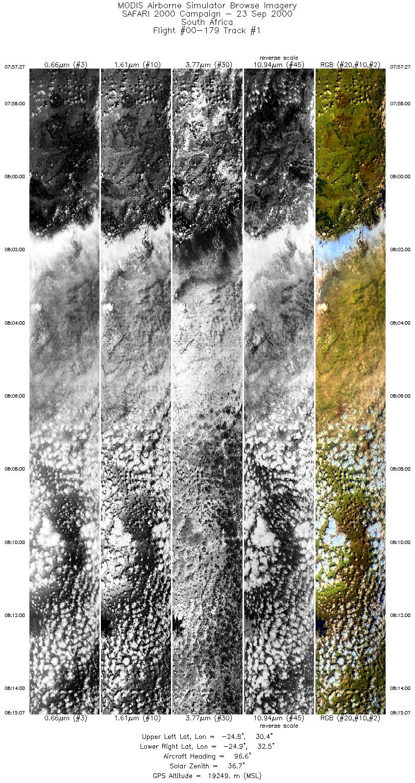
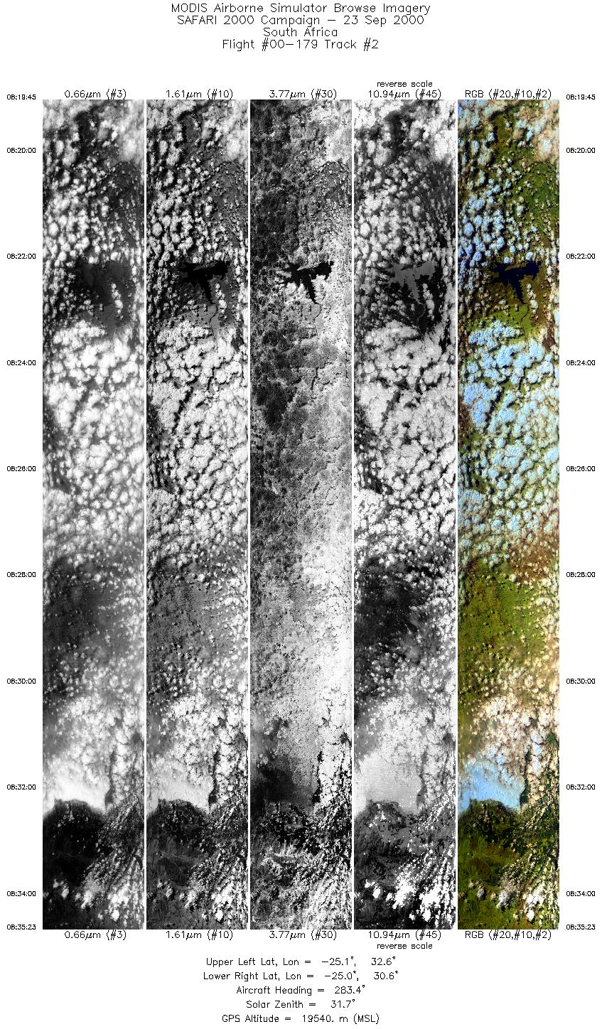
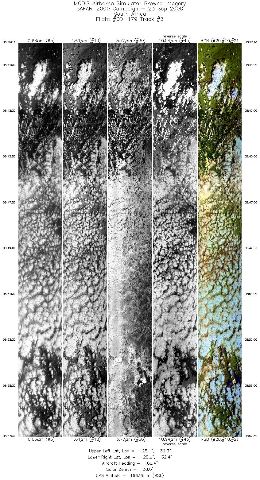
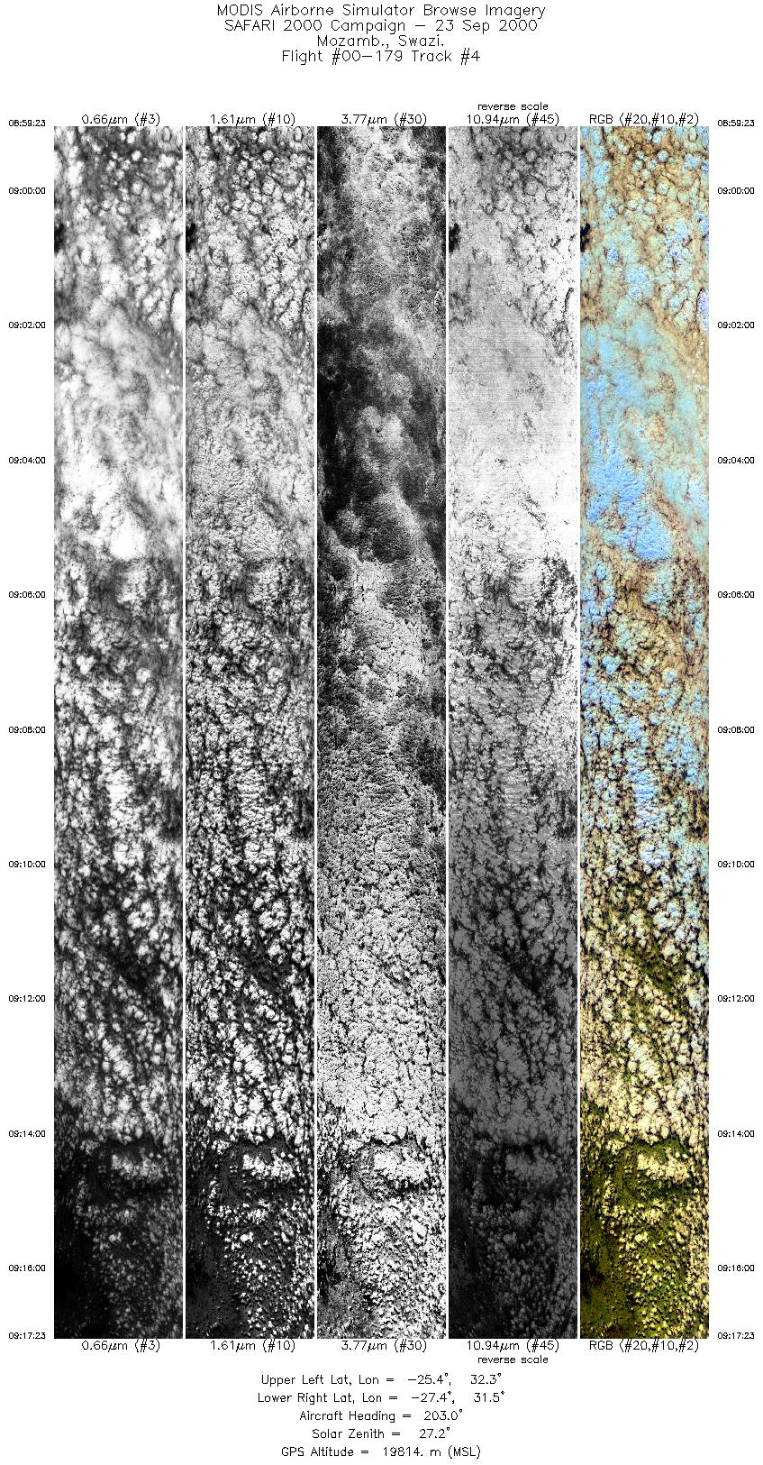
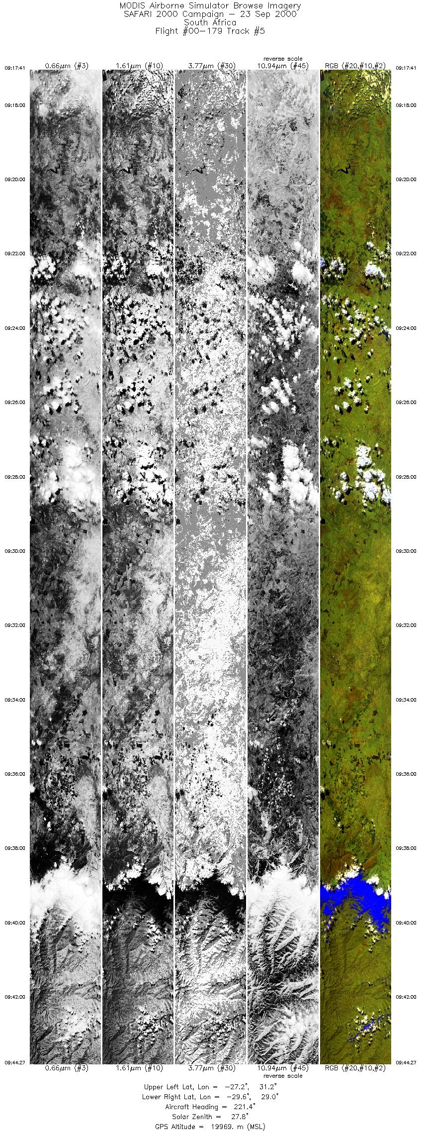
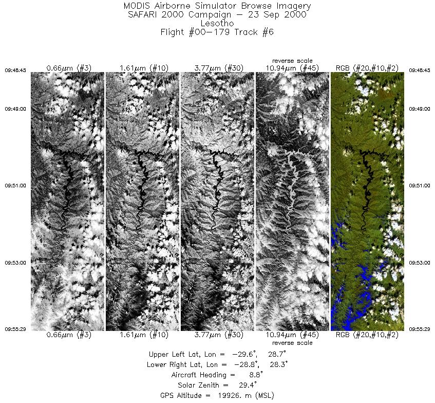
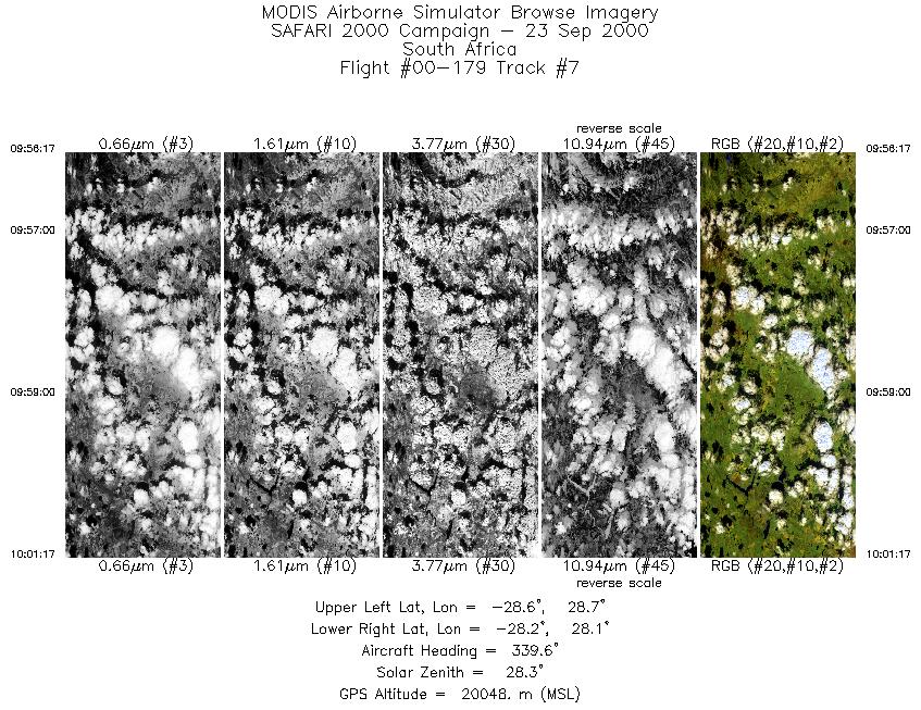
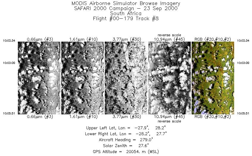
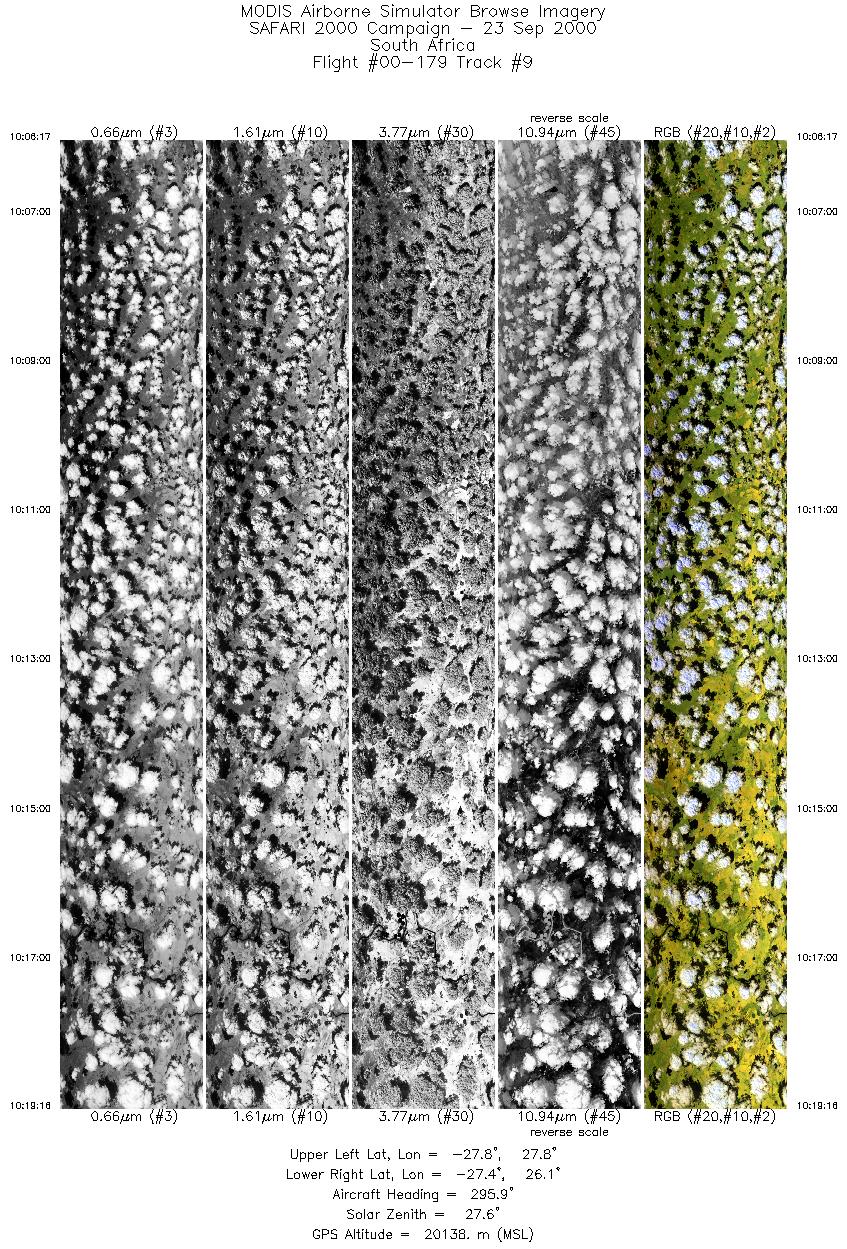
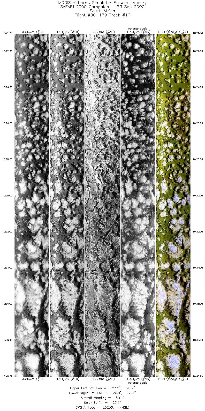
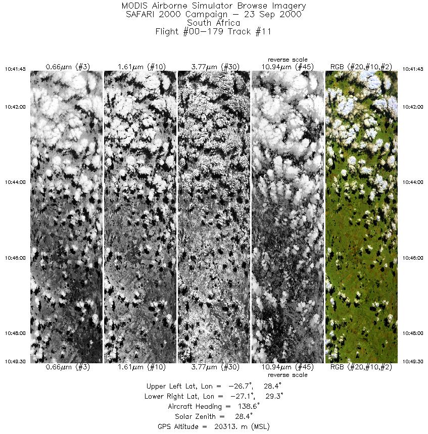
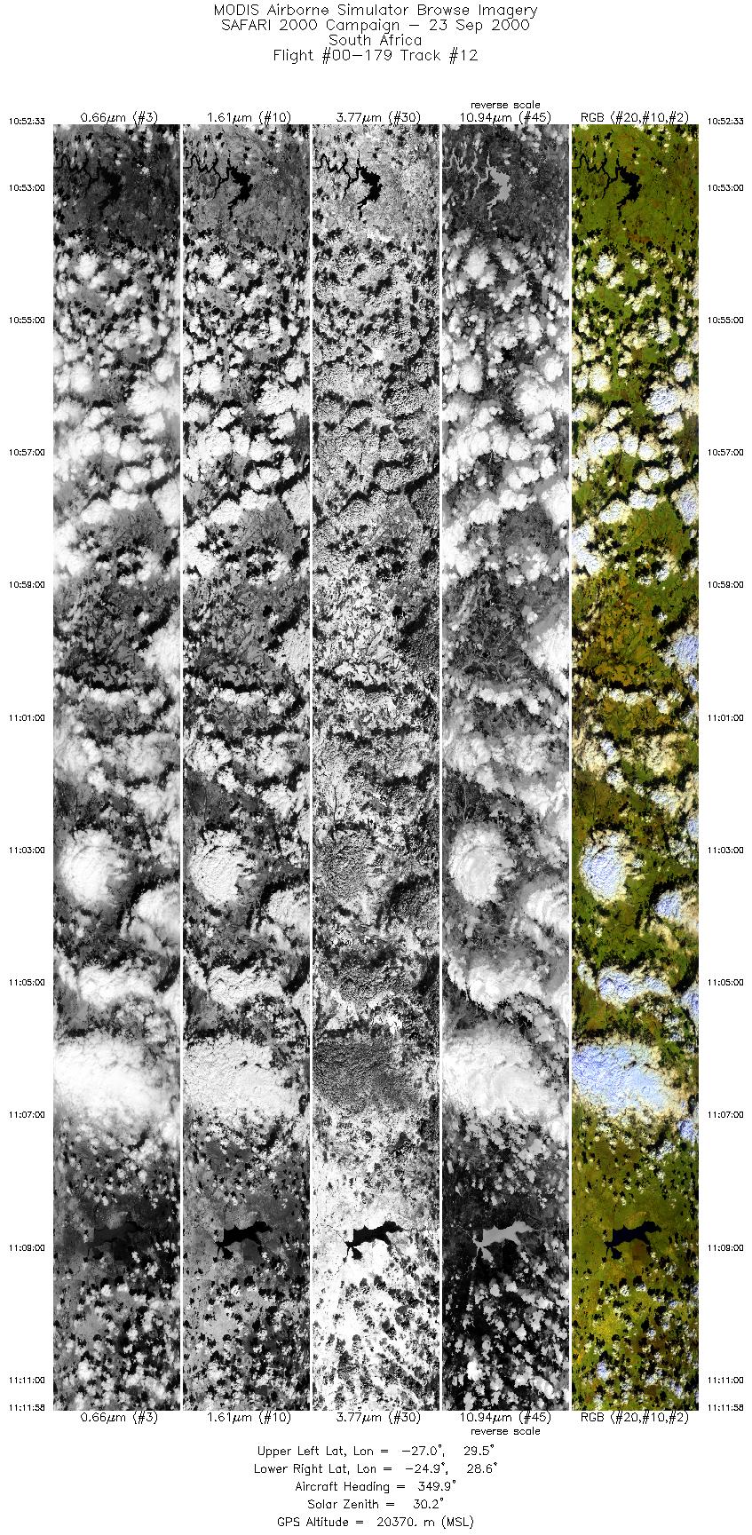
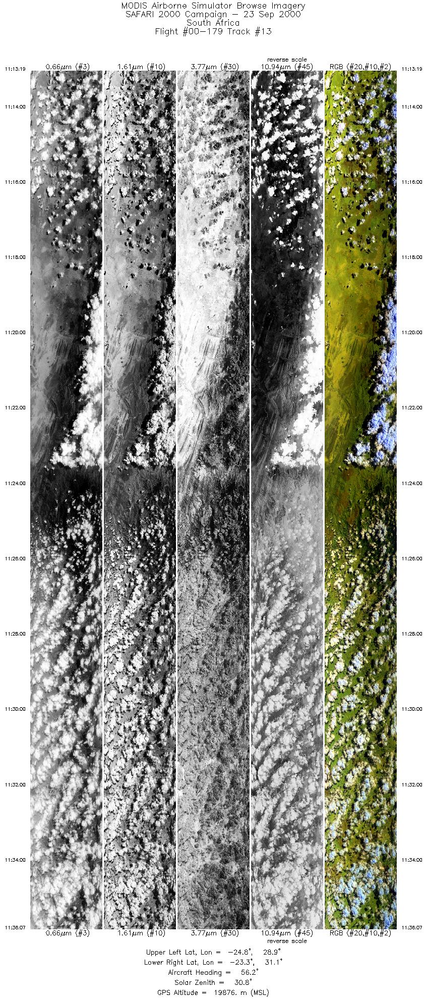
Browse Imagery Flight Tracks: 13 Scanlines: 71798 |
|||||||||||||||||||||||||||||||||||||||||||||||||||||||||||||||||||||||||||||||||||||||||||||||||||||||||||||||||||||||
|
|||||||||||||||||||||||||||||||||||||||||||||||||||||||||||||||||||||||||||||||||||||||||||||||||||||||||||||||||||||||
|
Flight Summary Report Author: Steve Platnick Mission Scientist: Dr. Michael King ER-2 Pilot: Dave Wright Takeoff: 0720 (UTC) Landing: 1220 (UTC) Duration: 5:00 (h:mm) Objective and Summary:
SAWB Aerocommander JRA, the remaining in situ aircraft, was not operating in the ER-2 flight area. The RC-10 was operated over the prime target areas mentioned above except during overcast conditions. Key Flight Legs:ER-2 flight tracks over Skukuza Tower in Kruger Park were oriented perpendicular to the Terra track with a 15 km offset to allow forward, nadir, and aft views of the site from MAS, and coincident with the 0828 UTC overpass. The Terra ground track was approximately 140 km west of Skukuza (12 degree viewing angle), within the MODIS, MOPITT, and MISR swath. Highlights:N/A AERONET sites and features overflown during this mission:
The flight legs over Skukuza were reported by the pilot to be over approximately 60% cloud cover. The water catchment and sunphotometer site were in clear sky, while views of the industrial and powerplant sites near Johannesburg were once again hindered by cloud (about 50% coverage). The flight leg over Merensky was estimated to have about 40% cloud cover. Meteorology:A cold front is approaching the Cape, bringing some light rain showers to the Cape peninsula overnight. A detached cell of high pressure over the northern South African interior causes generally fine weather elsewhere, but the eastern and northeastern areas (including Skukuza) will have patchy fog or low stratus at first. Clouds in the Skukuza area are expected to burn off in time for the Terra/ER-2 overpass. ER-2 Science Instrument Payload Status
|
|||||||||||||||||||||||||||||||||||||||||||||||||||||||||||||||||||||||||||||||||||||||||||||||||||||||||||||||||||||||

Flight 00-179


| Sample Imagery |
| Click image for full resolution |
|
Track #4 Mozambique |


|
|
R: 2.15µm G: 0.91µm B: 0.55µm |
- NASA Official: Matt Fladeland
- Project Manager: James Jacobson
- Website Editor: Eric Fraim
- Last Updated: November 16, 2021


