


MODIS Airborne Simulator (MAS)
FLIGHT SUMMARY INFORMATION


|
Flight: 00-178 Date: 21 September 2000 Location: South Africa, Mozambique, and Indian Ocean Deployment: SAFARI Principal Investigator: Dr. Michael King (NASA GSFC) Flight Scientist: Dr. Steven Platinick (NASA GSFC) Additional Sensors: AirMISR, CLS, LAS, MOPITT-A, S-HIS, & SSFR Objective: To understand the key linkages between the physical, chemical and biological processes, including human activities, that comprise the southern African biogeophysical system. |
|||||||||||||||||||||||||||||||||||||||||||||||||||||||||||||||||||||||||||||||||||||||||||||||||||||||||||||||||||||||||||||||||||||||||||||||||||
|
Data Evaluation Overall quality is good |
|||||||||||||||||||||||||||||||||||||||||||||||||||||||||||||||||||||||||||||||||||||||||||||||||||||||||||||||||||||||||||||||||||||||||||||||||||
|
Processing Information Level-1B Data in HDF format is available Flight Line Summary Spectral Band Configuration Spectral Response Function Table |
|||||||||||||||||||||||||||||||||||||||||||||||||||||||||||||||||||||||||||||||||||||||||||||||||||||||||||||||||||||||||||||||||||||||||||||||||||
|
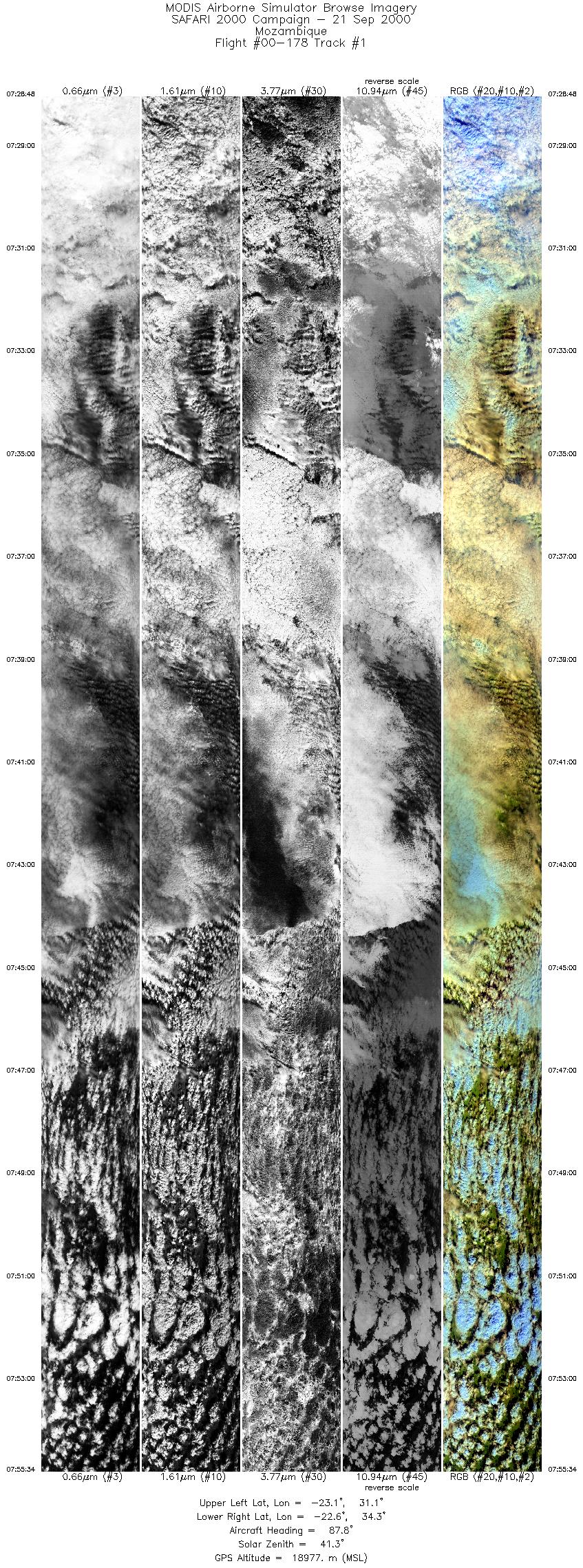
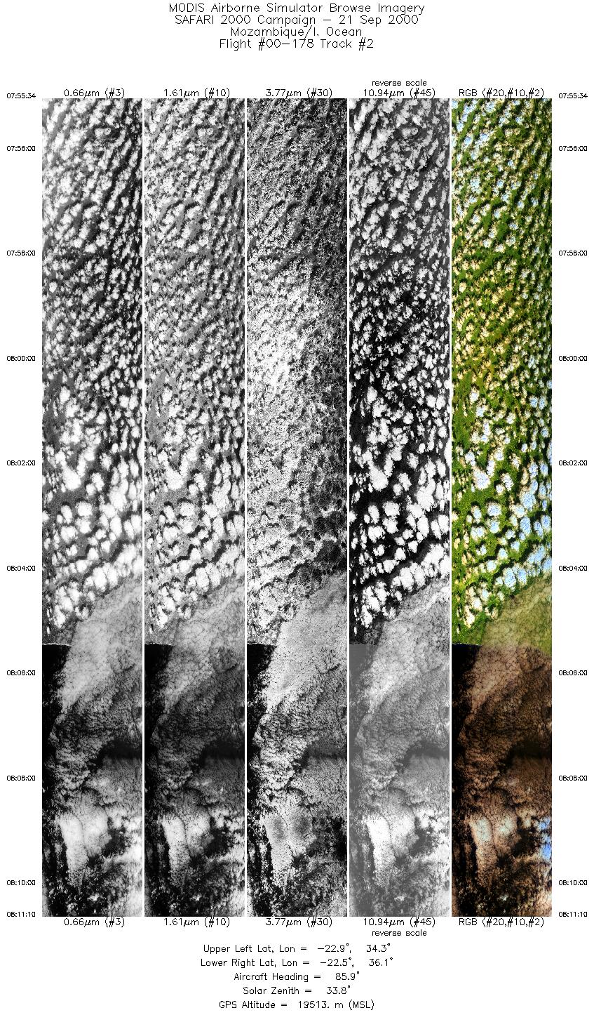
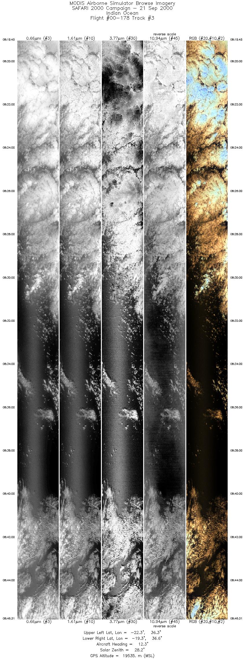
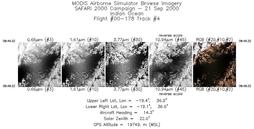
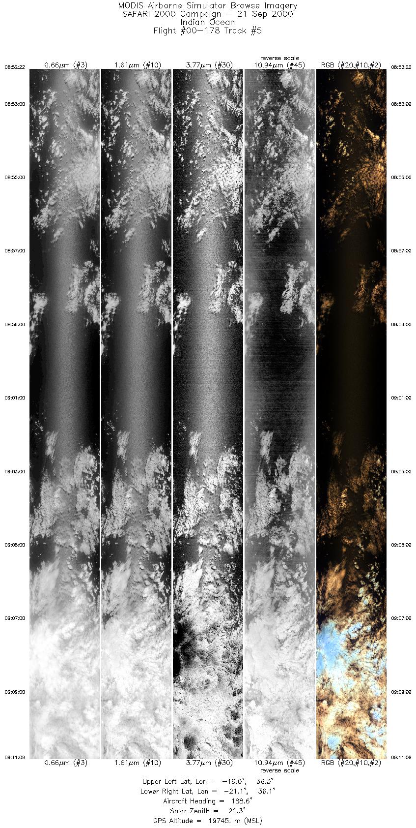
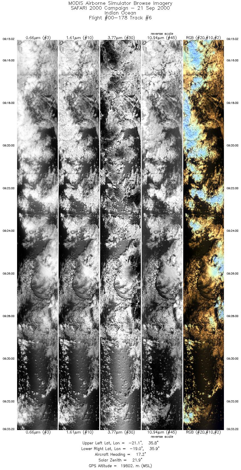
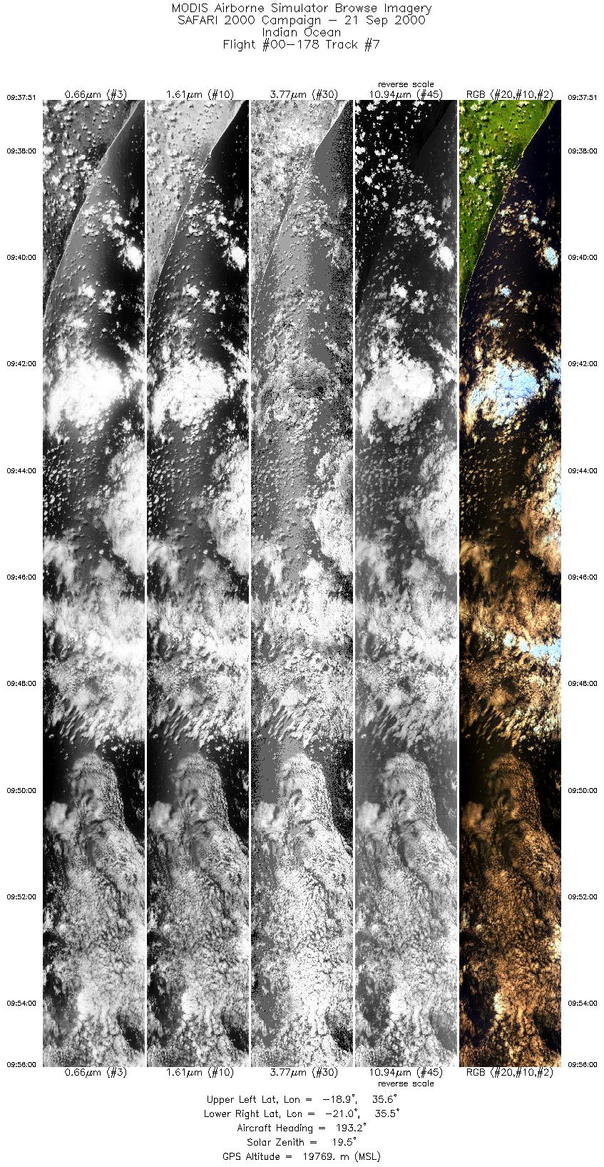
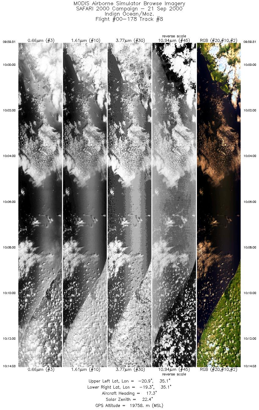
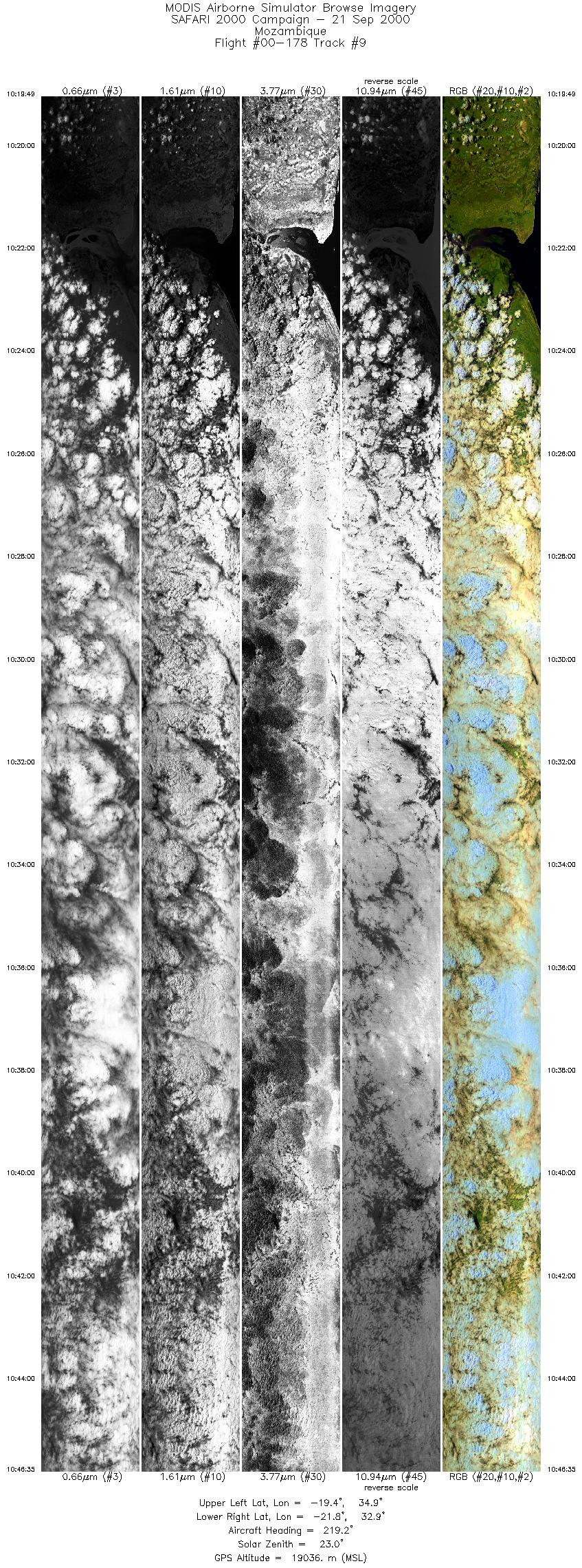
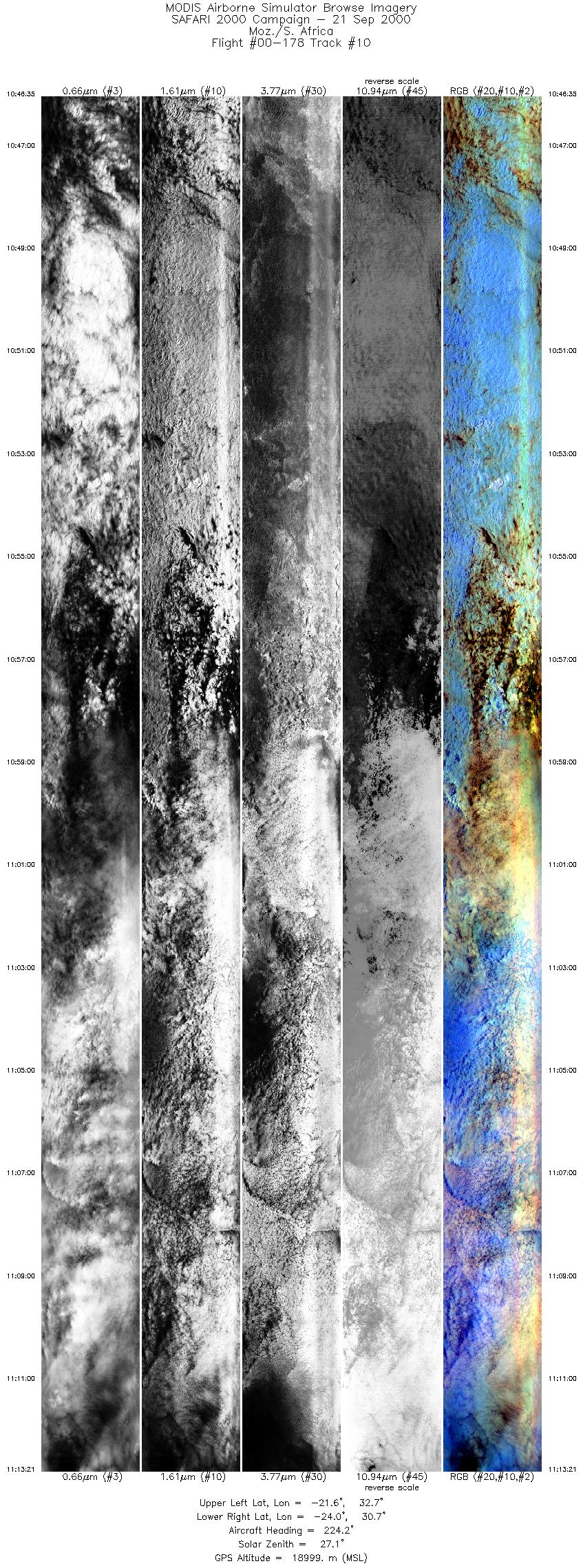
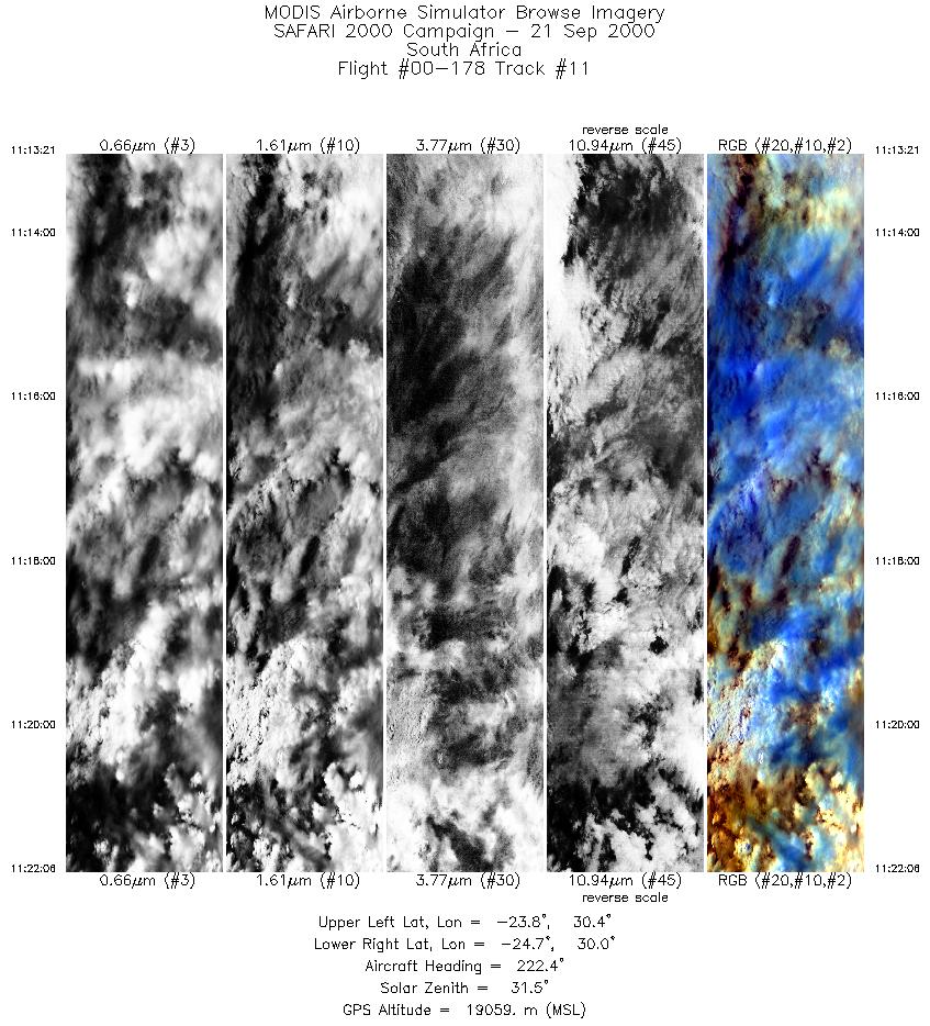
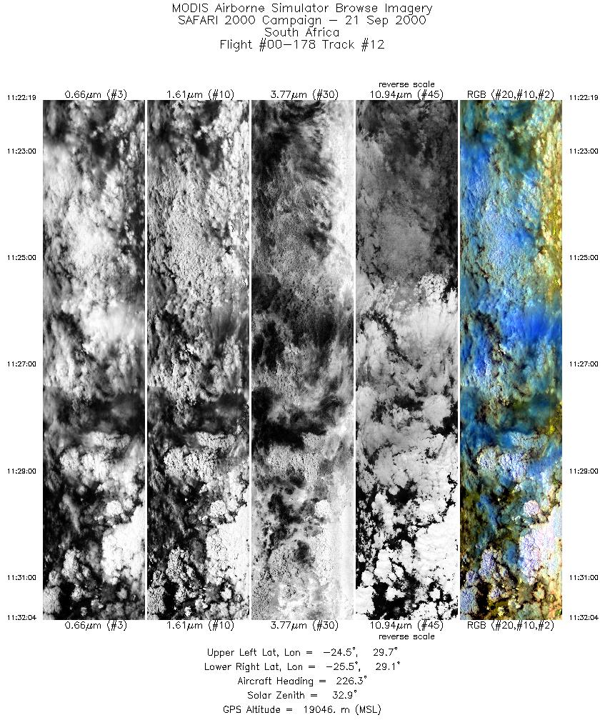
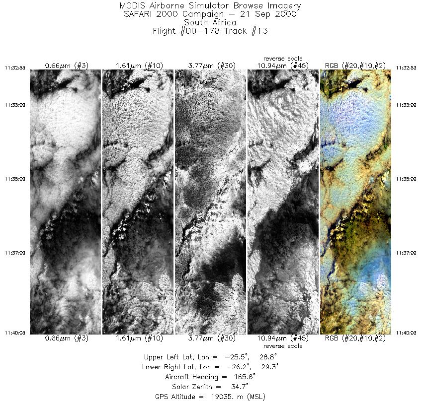
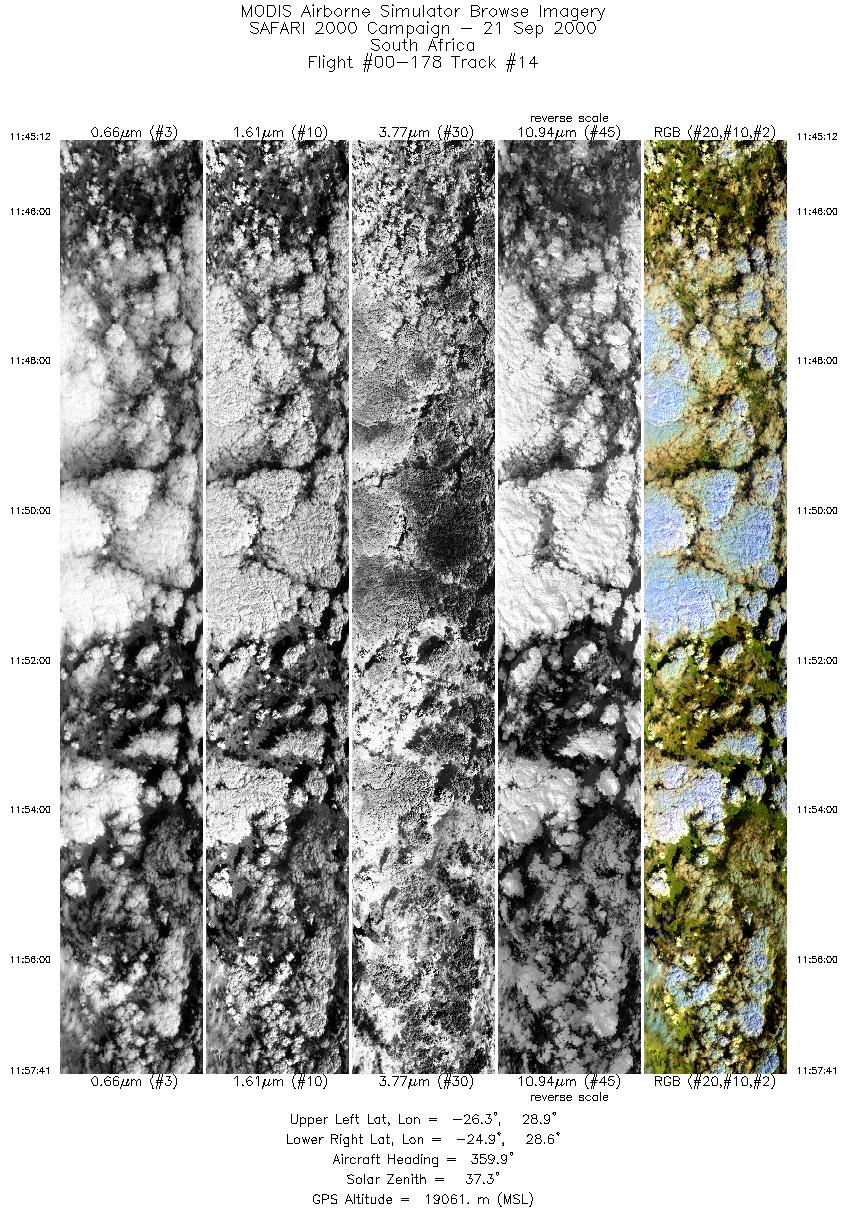
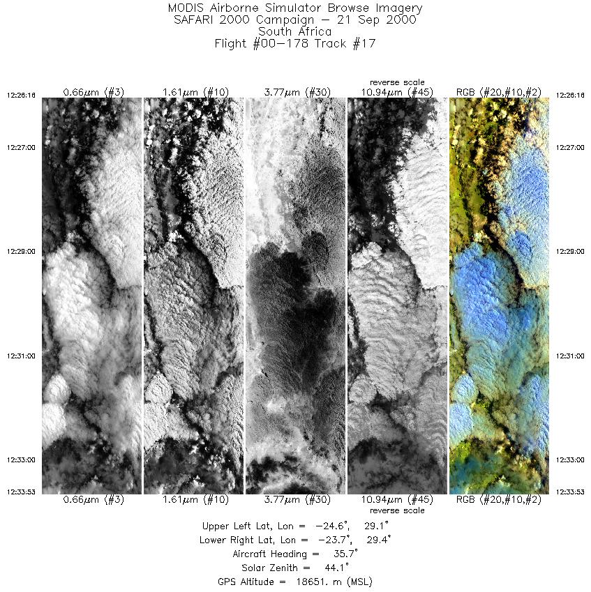
Browse Imagery Flight Tracks: 17 Scanlines: 95898 |
|||||||||||||||||||||||||||||||||||||||||||||||||||||||||||||||||||||||||||||||||||||||||||||||||||||||||||||||||||||||||||||||||||||||||||||||||||
|
|||||||||||||||||||||||||||||||||||||||||||||||||||||||||||||||||||||||||||||||||||||||||||||||||||||||||||||||||||||||||||||||||||||||||||||||||||
|
Flight Summary Report Author: Steve Platnick Mission Scientist: Dr. Michael King ER-2 Pilot: Jan Nystrom Takeoff: 0705 (UTC) Landing: 1310 (UTC) Duration: 6:05 (h:mm) Objective and Summary:
The NCAR CCN counter was returned to SAWB Aerocommander JRB aircraft after the loss of the University of Washington CV-580 aircraft in Namibia due to mechanical problems. Along with cloud probes (hot wire, FSSP), JRB provides a platform for cloud microphysical validation. Because of a late overflight clearance for Mozambique, JRB was unable to take off in time to coordinate with the ER-2. As an alternate, JRB sampled a stratocumulus deck in the vicinity of Pietersburg at the time of the Terra overpass. Cloud tops were about 9,500 ft. at the time of the overpass to over 12,000 ft. a couple of hours later; cloud base was about 6500 feet. A smoke plume entering cloud base was sampled. Rain/drizzle was noted in one isolated region. Key Flight Legs:The ER-2 flight tracks were oriented parallel to Terra with a 0840 UTC overpass. The Terra ground track was approximately 600 km west of the flight tracks (47 degree viewing angle, within MODIS swath). The flight legs over the power plants were reported by the pilot to be overcast and the legs were aborted. Highlights:No comments (See flight objectives) AERONET sites and features overflown during this mission:
N/A Meteorology:A high to the south of the South Africa is extending a ridge northwards along the eastern seaboard. A weak upper trough is to the east of the subcontinent with an upper ridge developing over the country. Moist cool air exists in the lower levels over northeastern and northern South Africa, southern Zimbabwe, southern Mozambique and Malawi. Offshore flow along west coast, but onshore over northern Namibia. ER-2 Science Instrument Payload Status
|
|||||||||||||||||||||||||||||||||||||||||||||||||||||||||||||||||||||||||||||||||||||||||||||||||||||||||||||||||||||||||||||||||||||||||||||||||||

Flight 00-178


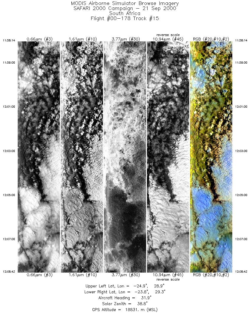
| Sample Imagery |
| Click image for full resolution |
|
Track #15 South Africa |


|
|
R: 2.15µm G: 0.91µm B: 0.55µm |
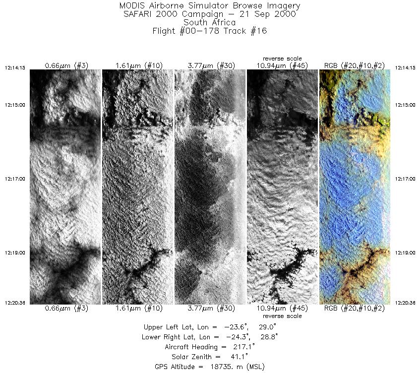
| Sample Imagery |
| Click image for full resolution |
|
Track #16 South Africa |

|
|
R: 2.15µm G: 0.91µm B: 0.55µm |
- NASA Official: Matt Fladeland
- Project Manager: James Jacobson
- Website Editor: Eric Fraim
- Last Updated: November 16, 2021


