


MODIS Airborne Simulator (MAS)
FLIGHT SUMMARY INFORMATION


|
Flight: 00-177 Date: 17 September 2000 Location: South Africa, Botswana, and Namibia Deployment: SAFARI Principal Investigator: Dr. Michael King (NASA GSFC) Flight Scientist: Dr. Steven Platinick (NASA GSFC) Additional Sensors: AirMISR, CLS, LAS, MOPITT-A, S-HIS, & SSFR Objective: To understand the key linkages between the physical, chemical and biological processes, including human activities, that comprise the southern African biogeophysical system. |
||||||||||||||||||||||||||||||||||||||||||||||||||||||||||||||||||||||||||||||||||||||||||||||||||||||||||||||||||||||||||||||||||||||||||||||||||||||||||
|
Data Evaluation Overall quality is good |
||||||||||||||||||||||||||||||||||||||||||||||||||||||||||||||||||||||||||||||||||||||||||||||||||||||||||||||||||||||||||||||||||||||||||||||||||||||||||
|
Processing Information Level-1B Data in HDF format is available Flight Line Summary Spectral Band Configuration Spectral Response Function Table |
||||||||||||||||||||||||||||||||||||||||||||||||||||||||||||||||||||||||||||||||||||||||||||||||||||||||||||||||||||||||||||||||||||||||||||||||||||||||||
|
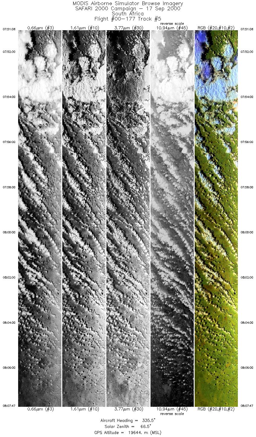
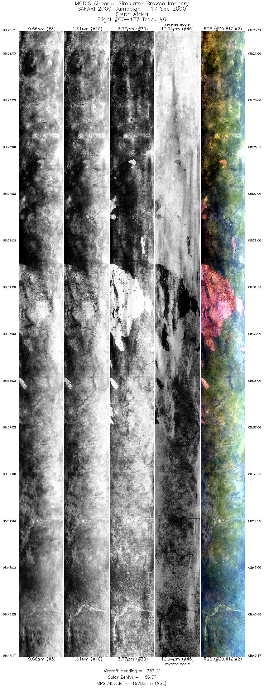
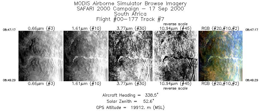
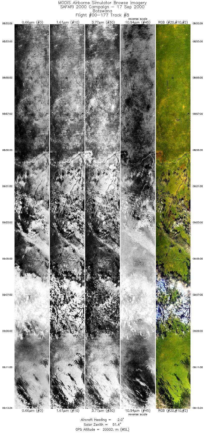
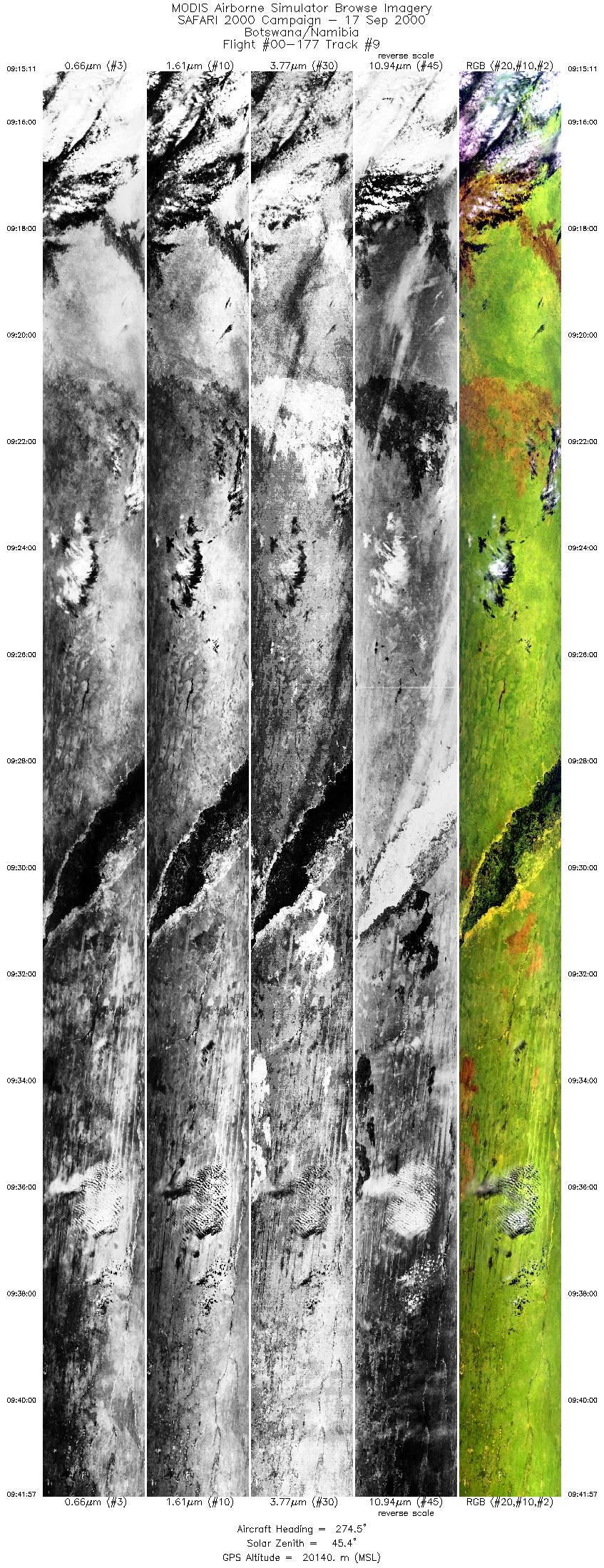
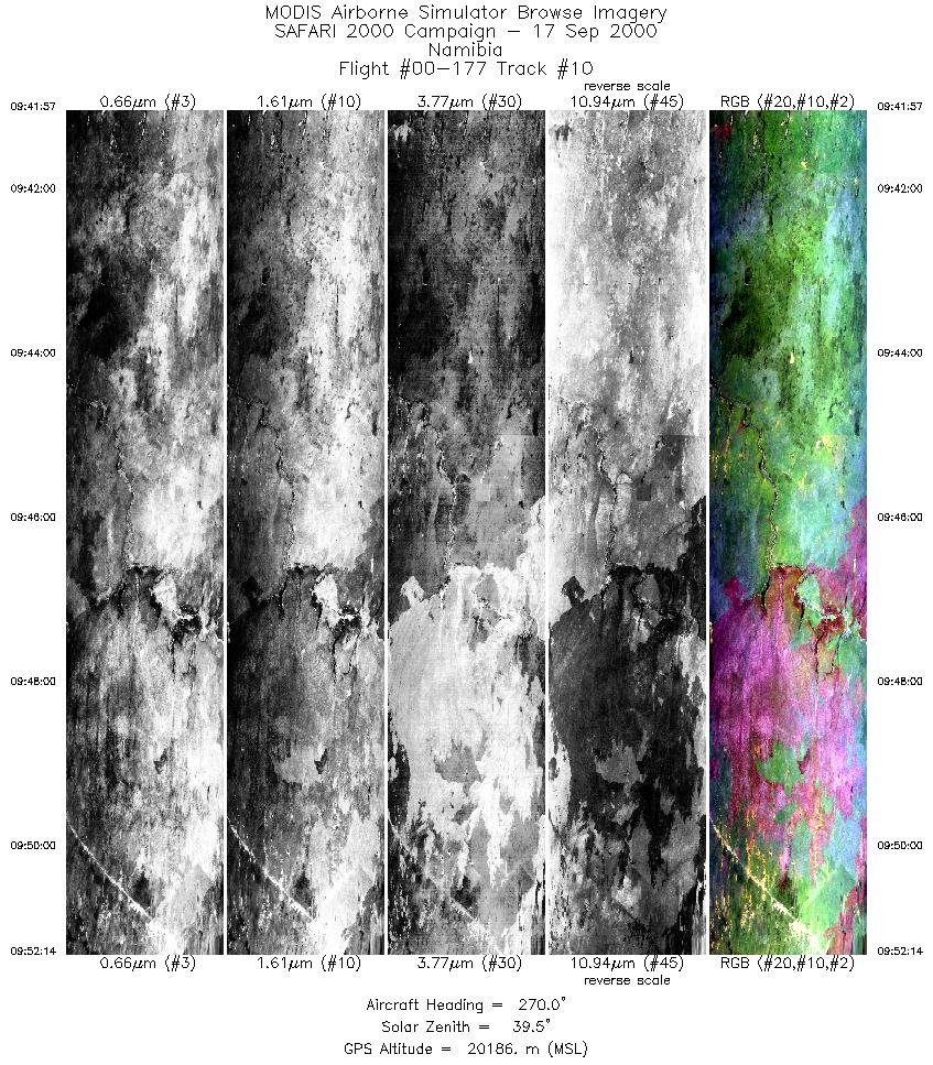
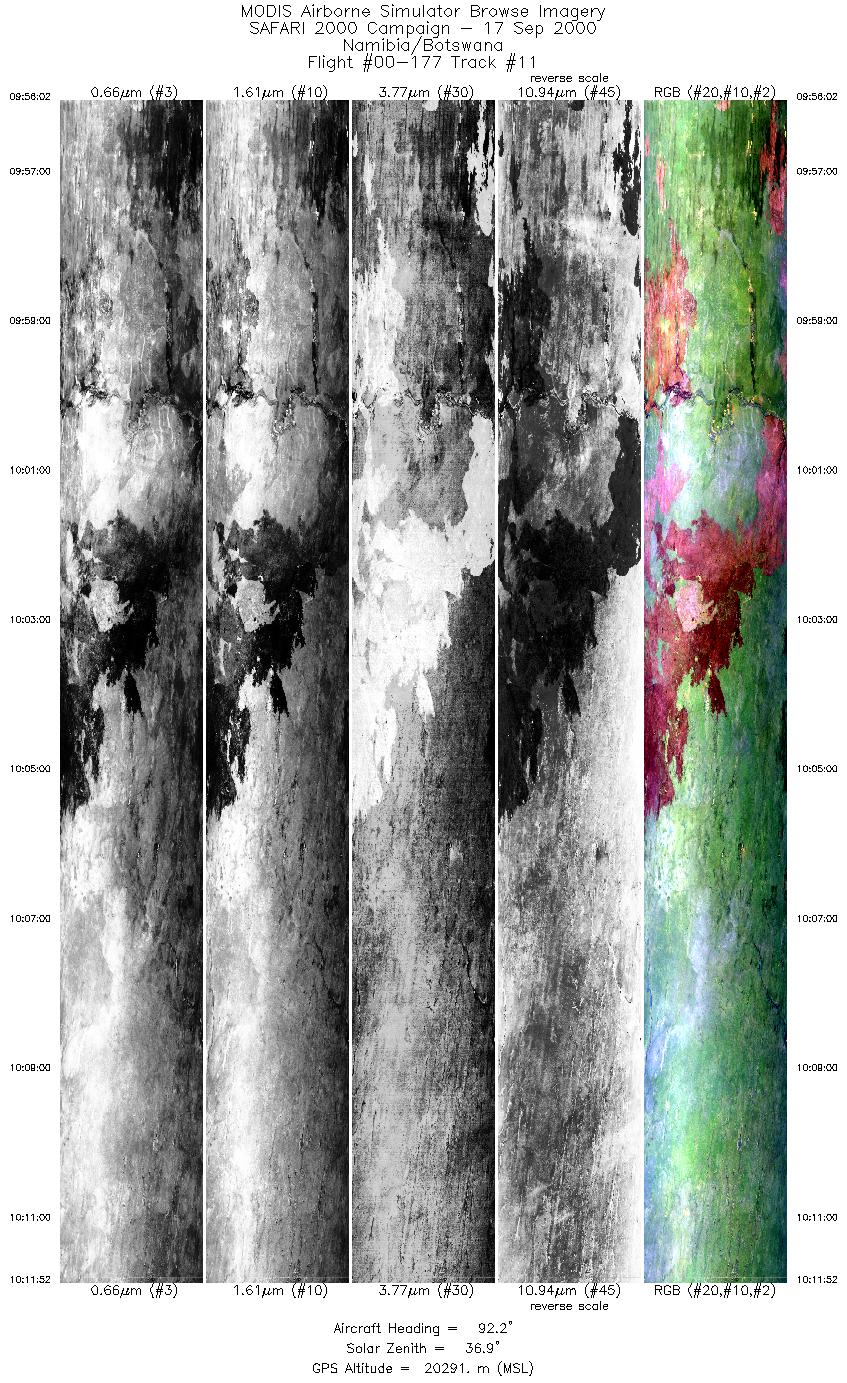
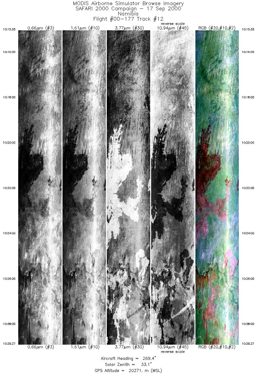
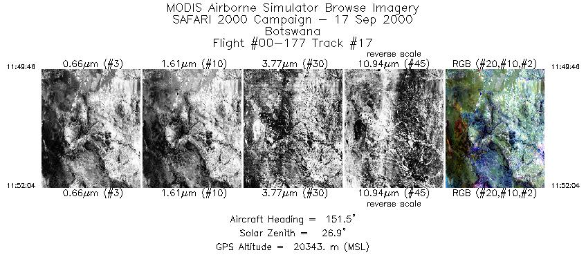
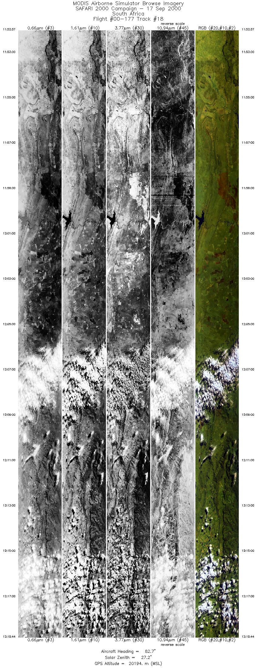
Browse Imagery Flight Tracks: 18 Scanlines: 113295 |
||||||||||||||||||||||||||||||||||||||||||||||||||||||||||||||||||||||||||||||||||||||||||||||||||||||||||||||||||||||||||||||||||||||||||||||||||||||||||
|
||||||||||||||||||||||||||||||||||||||||||||||||||||||||||||||||||||||||||||||||||||||||||||||||||||||||||||||||||||||||||||||||||||||||||||||||||||||||||
|
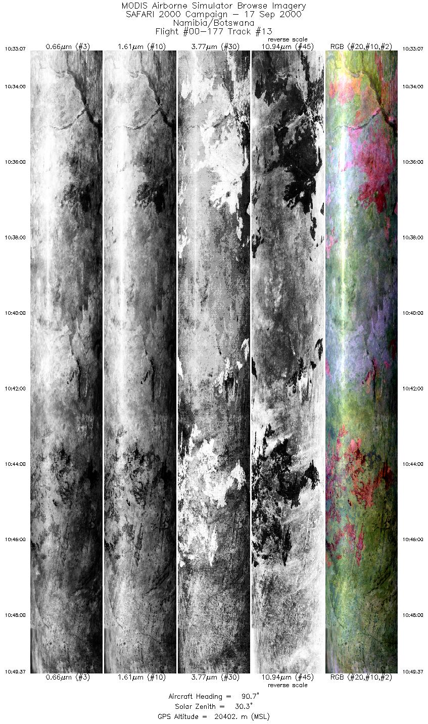
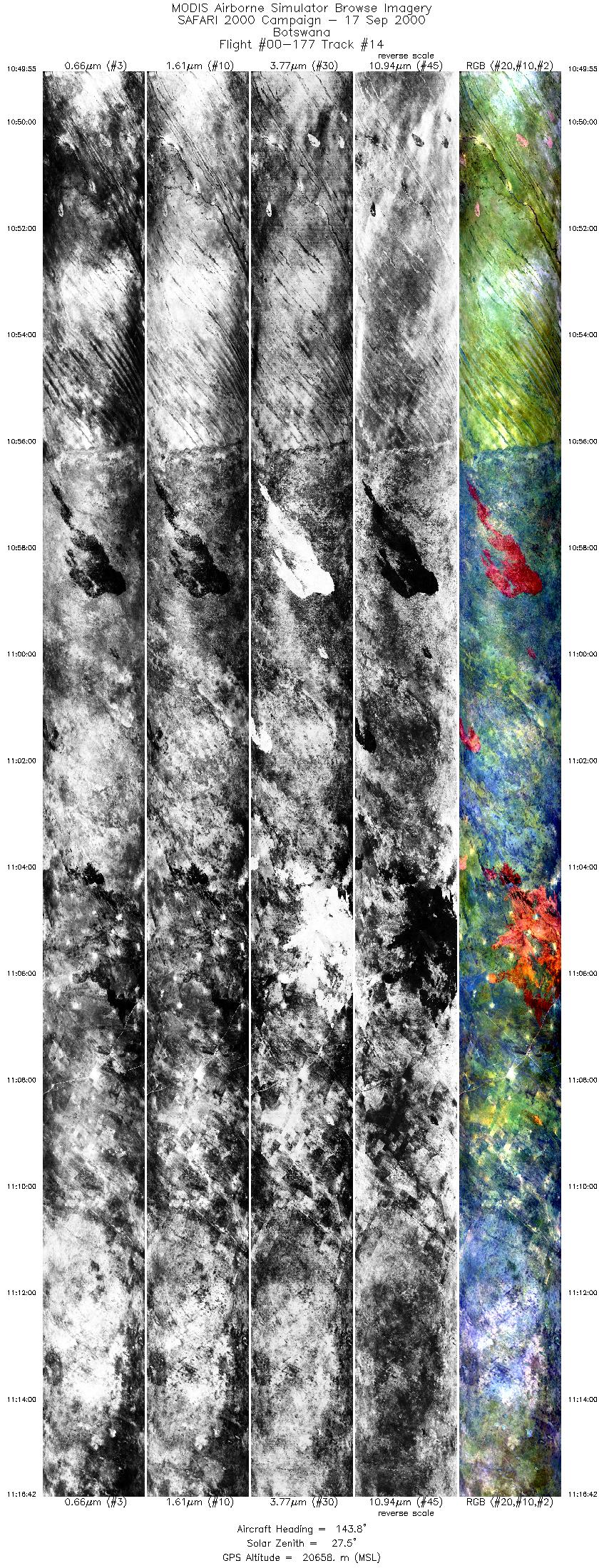
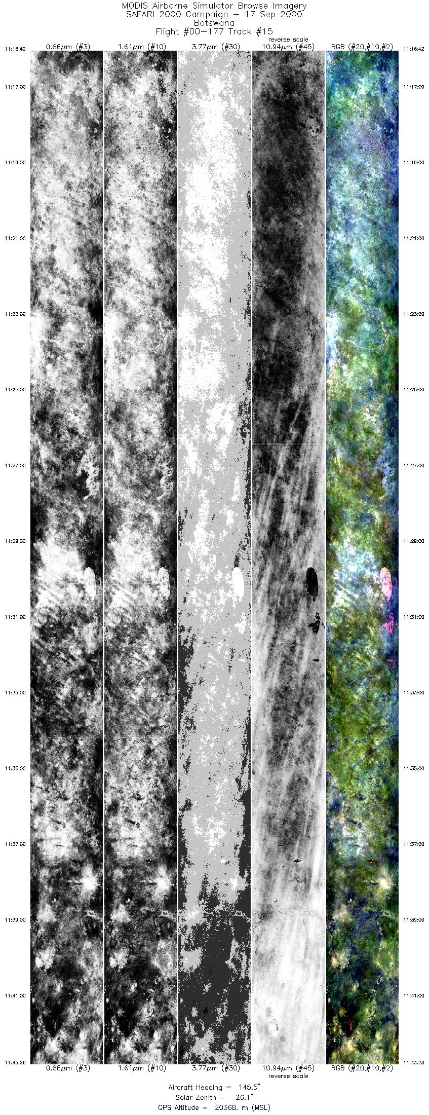
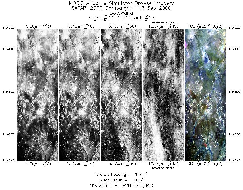
Flight Summary Report Author: Steve Platnick Mission Scientist: Dr. Michael King ER-2 Pilot: Dave Wright Takeoff: 0630 (UTC) Landing: 1415 (UTC) Duration: 7:45 (h:mm) Objective and Summary:
SAWB JRA worked the burn scar in northeast Namibia. The UK C-130 (based in Windhoek, Namibia) made its final SAFARI flight on Saturday 16 September. The CV-580 (based in Walvis Bay, Namibia) canceled remaining SAFARI flights due to aircraft mechanical problems. RC-10 photography was acquired over the two ground sites, the industrial/power plant legs, and various points of opportunity in Mozambique (smoke plume across ER-2 track at 0748 UTC, coastal areas at 0955, 1204 UTC). Key Flight Legs:The ER-2 flight track over Maun, Botswana was oriented parallel to Terra and at the same time as the 0904 UTC overpass. The Terra ground track was approximately 160 km west of Maun (14 degree viewing angle). The flight legs over the power plants and industrial sites was reported by the pilot to be approximately 80% cloud cover. Other legs were in clear sky. Highlights:Overpasses of Maun Tower with working sun photometer, large burn scar in northeast Namibia coordinated with JRA, Thabazimibia-Murchinson Lineament. AERONET sites and features overflown during this mission:
N/A Meteorology:A cold front runs from the Orange River mouth to Port Elizabeth and southeastwards, with a low off the Transkei coast. A trough/cutoff low has weakened and moved to the central interior, with a new trough developing to the west of South Africa. Middle level moisture ahead of the trough is diminishing significantly over the northern regions, where isolated thundershowers are likely, but more extensive over the southern areas. Fine weather over Namibia and western Botswana otherwise partly cloudy, but cloudy in the south. Showers are expected along the southern coastal areas, while scattered thundershowers are likely over the southeastern areas of South Africa becoming more isolated over the remainder of the eastern parts, except in the extreme north. ER-2 Science Instrument Payload Status
|
||||||||||||||||||||||||||||||||||||||||||||||||||||||||||||||||||||||||||||||||||||||||||||||||||||||||||||||||||||||||||||||||||||||||||||||||||||||||||

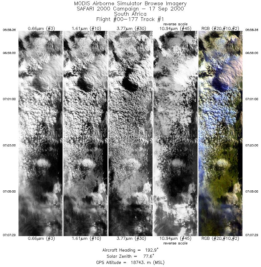
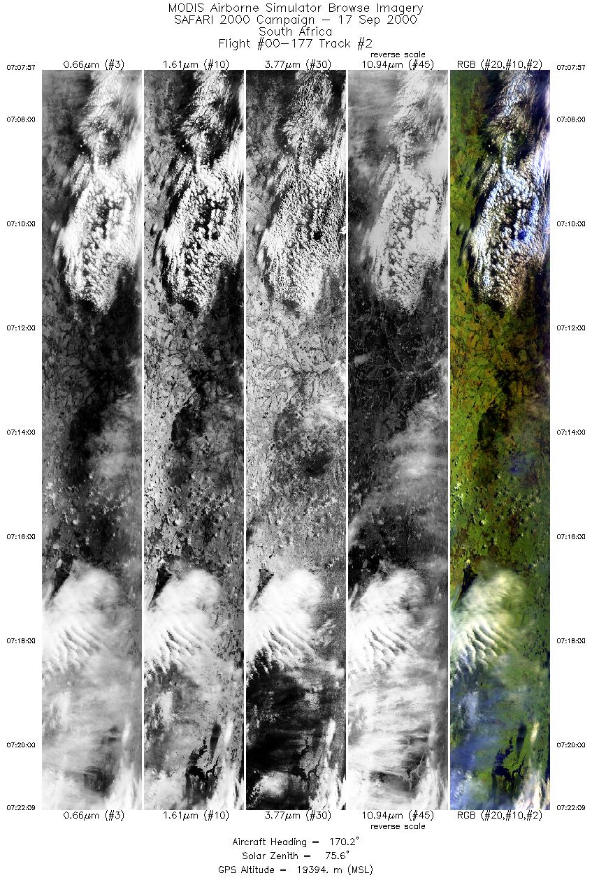
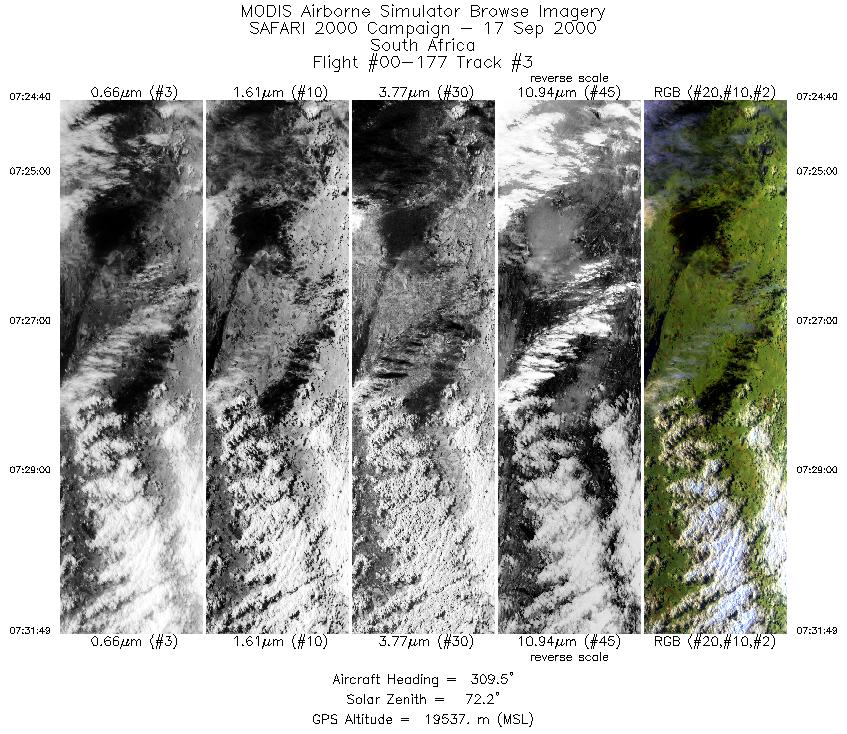
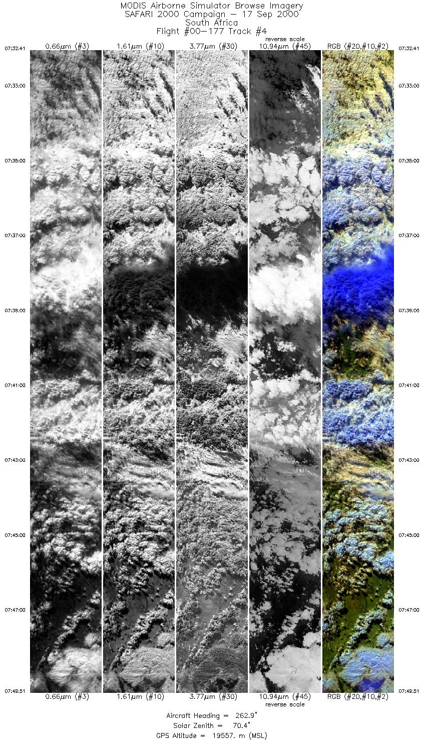
Flight 00-177


| Sample Imagery |
| Click image for full resolution |
|
Track #1 South Africa |


|
|
R: 2.15µm G: 0.91µm B: 0.55µm |
| Sample Imagery |
| Click image for full resolution |
|
Track #14 Botswana |

|
|
R: 2.15µm G: 0.91µm B: 0.55µm |
- NASA Official: Matt Fladeland
- Project Manager: James Jacobson
- Website Editor: Eric Fraim
- Last Updated: November 16, 2021


