


MODIS Airborne Simulator (MAS)
FLIGHT SUMMARY INFORMATION


|
Flight: 00-176 Date: 14 September 2000 Location: South Africa, Botswana, Namibia, and Atlantic Ocean Deployment: SAFARI Principal Investigator: Dr. Michael King (NASA GSFC) Flight Scientist: Dr. Steven Platinick (NASA GSFC) Additional Sensors: AirMISR, CLS, LAS, MOPITT-A, S-HIS, & SSFR Objective: To understand the key linkages between the physical, chemical and biological processes, including human activities, that comprise the southern African biogeophysical system. |
|||||||||||||||||||||||||||||||||||||||||||||||||||||||||||||||||||||||||||||||||||||||||||||||||||||||||||||||||||||||||||||||||||||||||||||||||||||||||||||||||||||||||||||||
|
Data Evaluation Overall quality is good |
|||||||||||||||||||||||||||||||||||||||||||||||||||||||||||||||||||||||||||||||||||||||||||||||||||||||||||||||||||||||||||||||||||||||||||||||||||||||||||||||||||||||||||||||
|
Processing Information Level-1B Data in HDF format is available Flight Line Summary Spectral Band Configuration Spectral Response Function Table |
|||||||||||||||||||||||||||||||||||||||||||||||||||||||||||||||||||||||||||||||||||||||||||||||||||||||||||||||||||||||||||||||||||||||||||||||||||||||||||||||||||||||||||||||
|
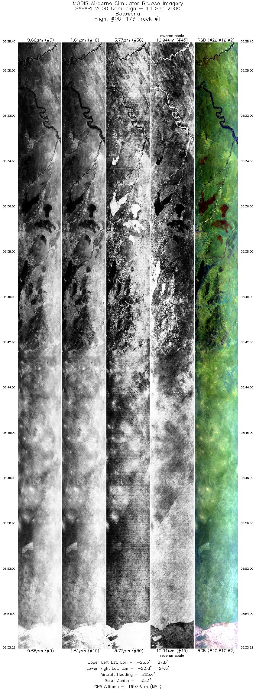
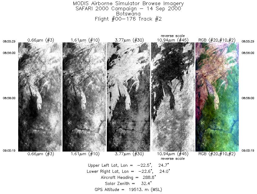
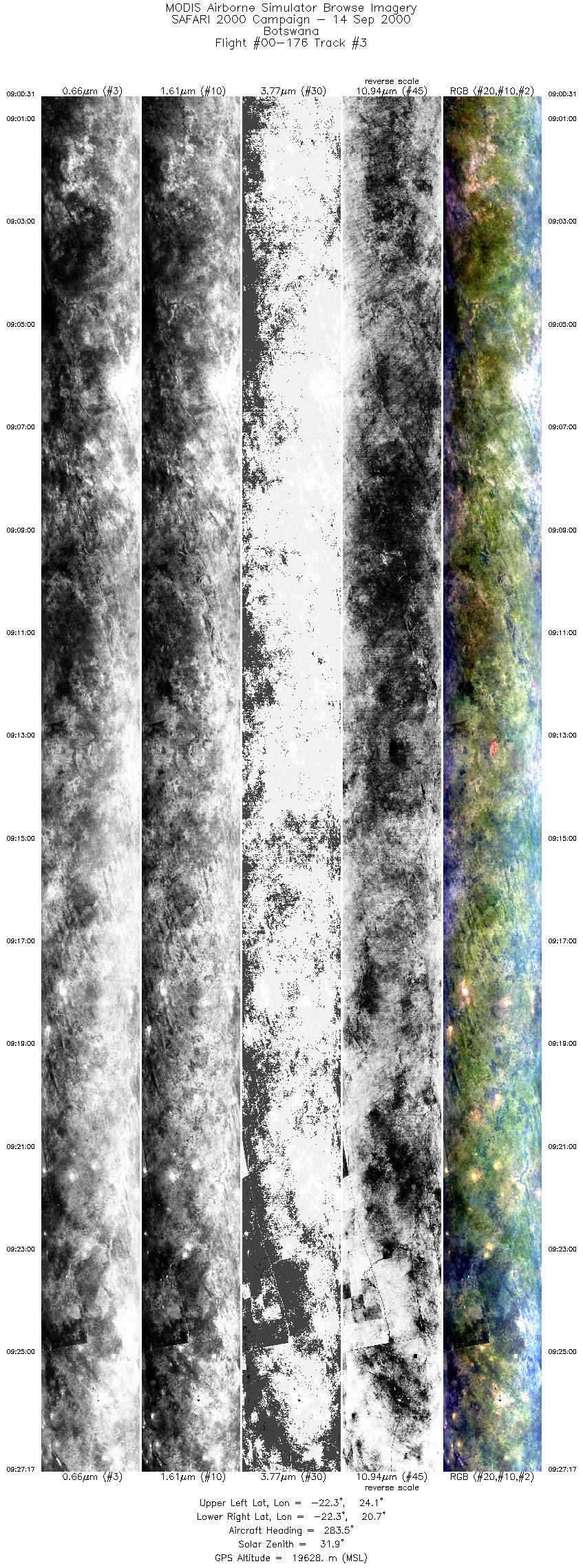
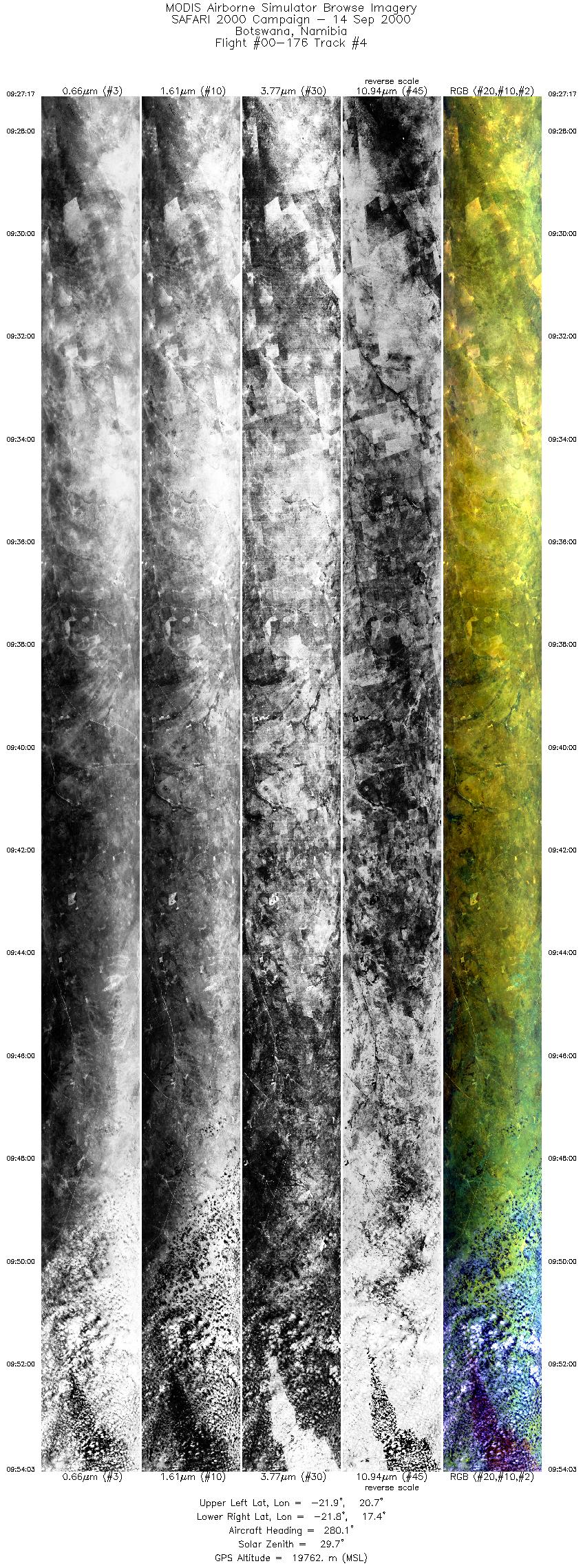
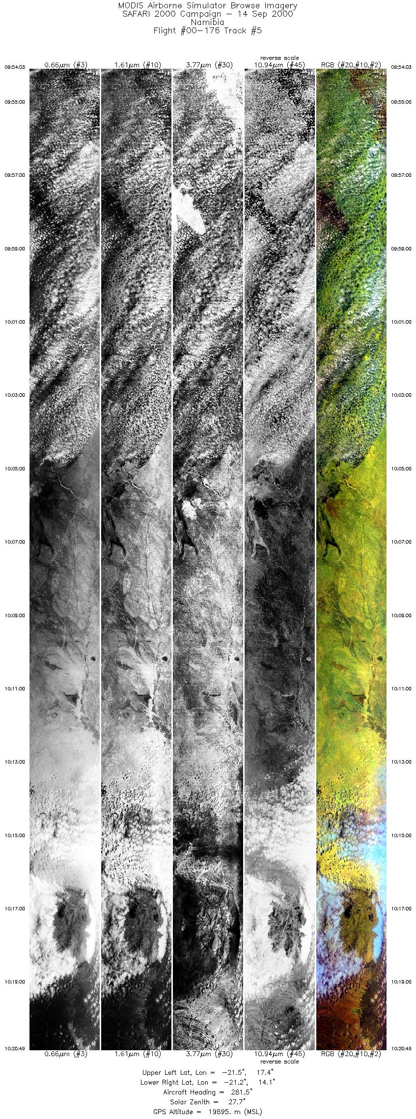
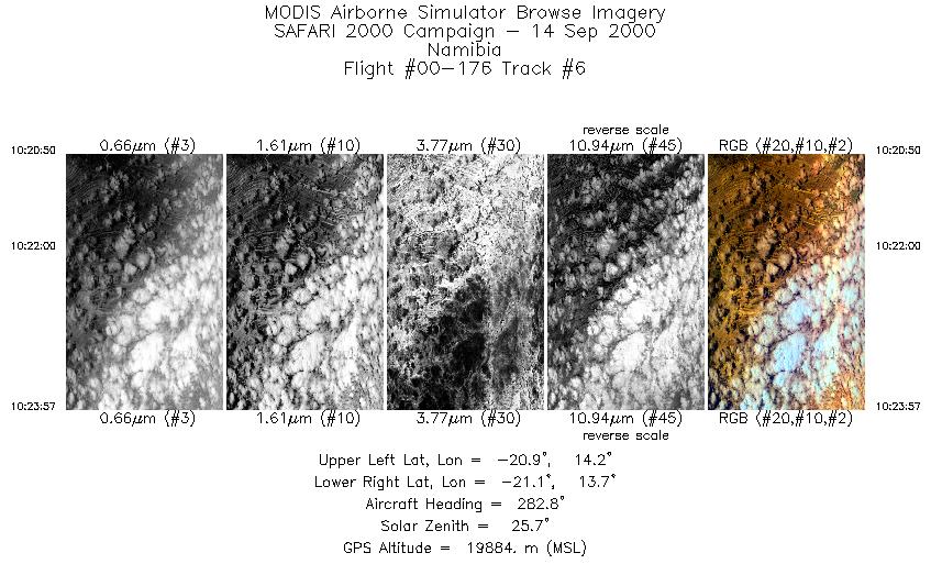
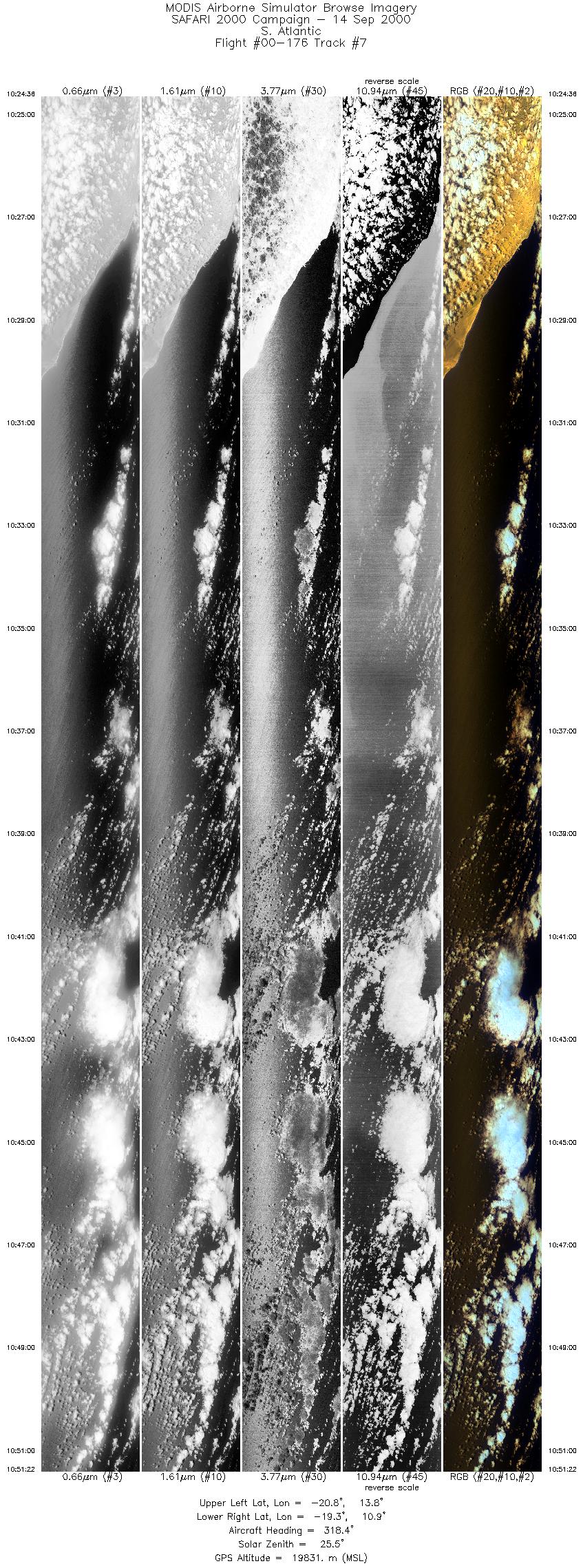
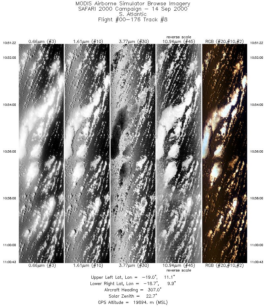
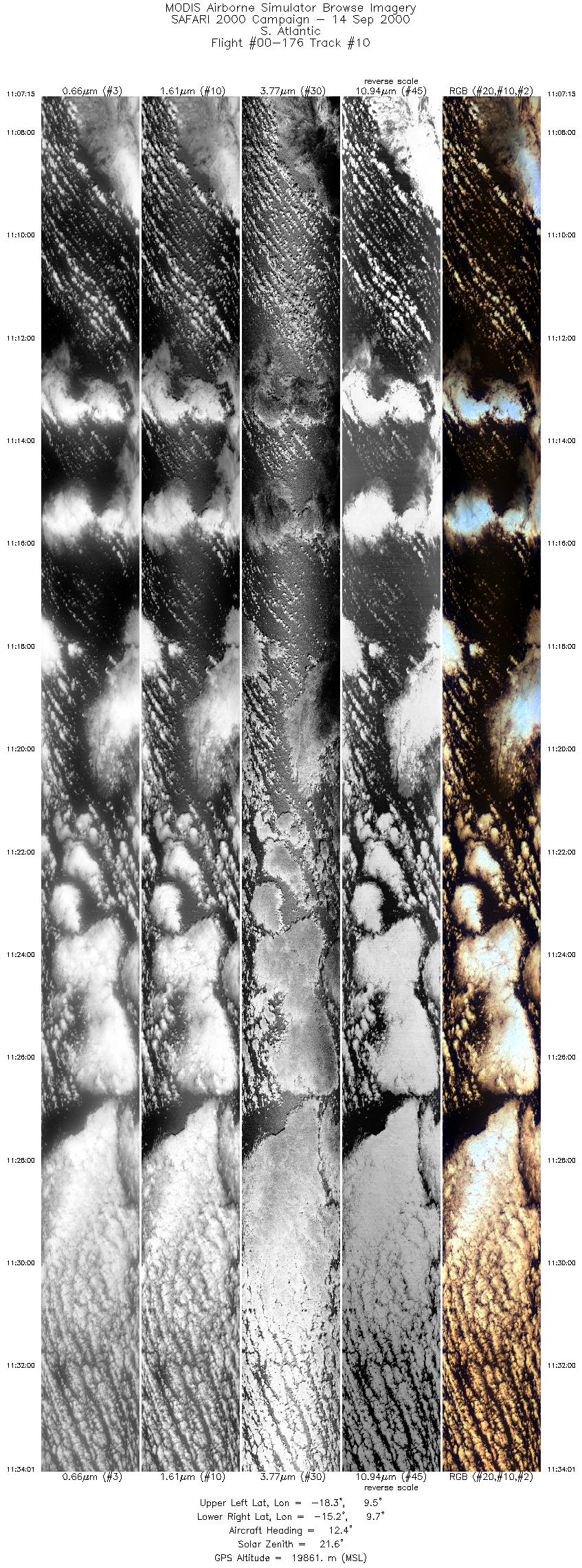
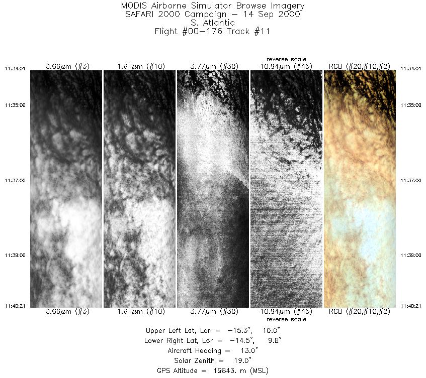
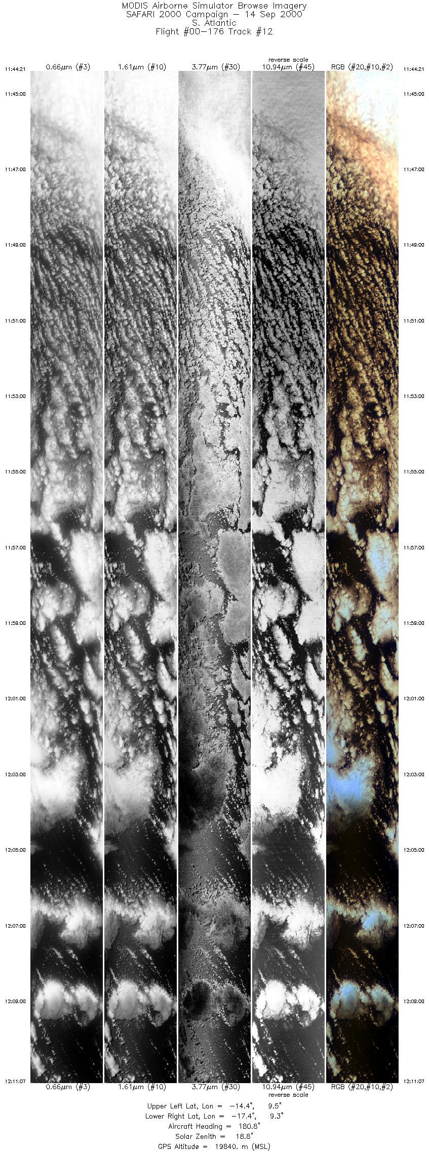
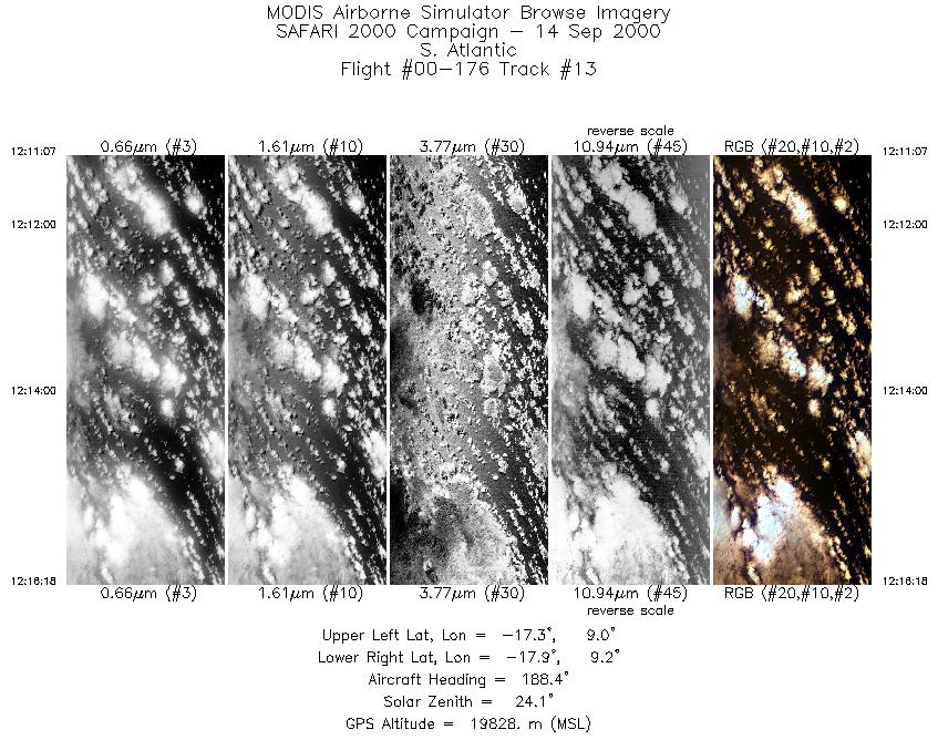
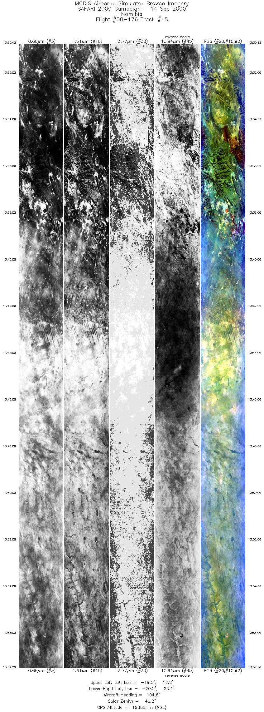
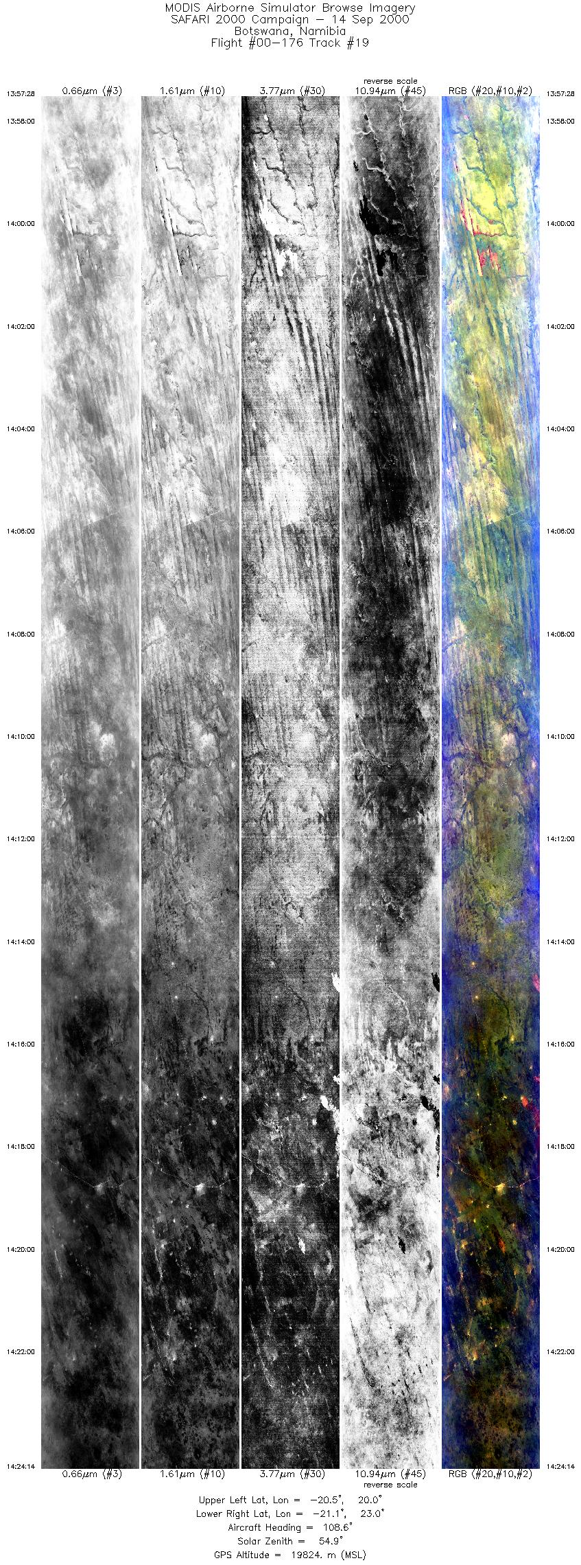
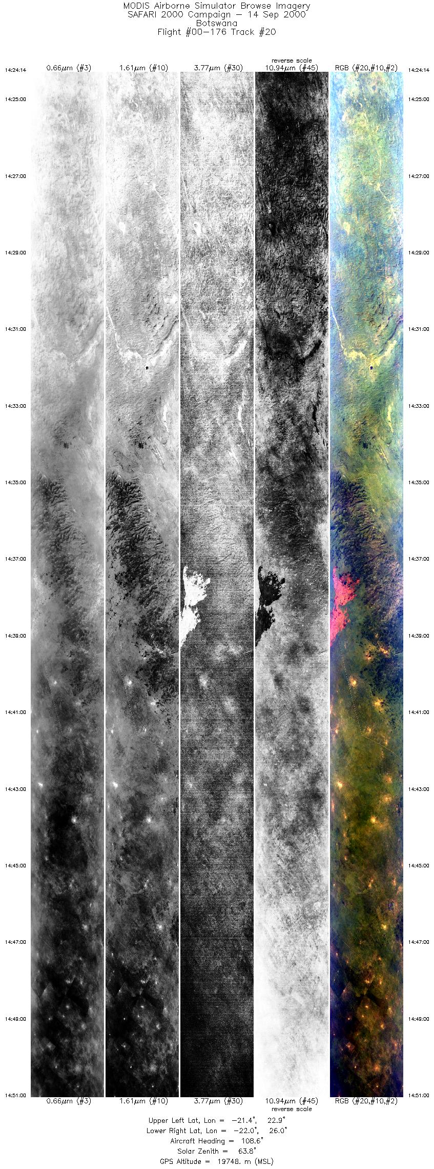
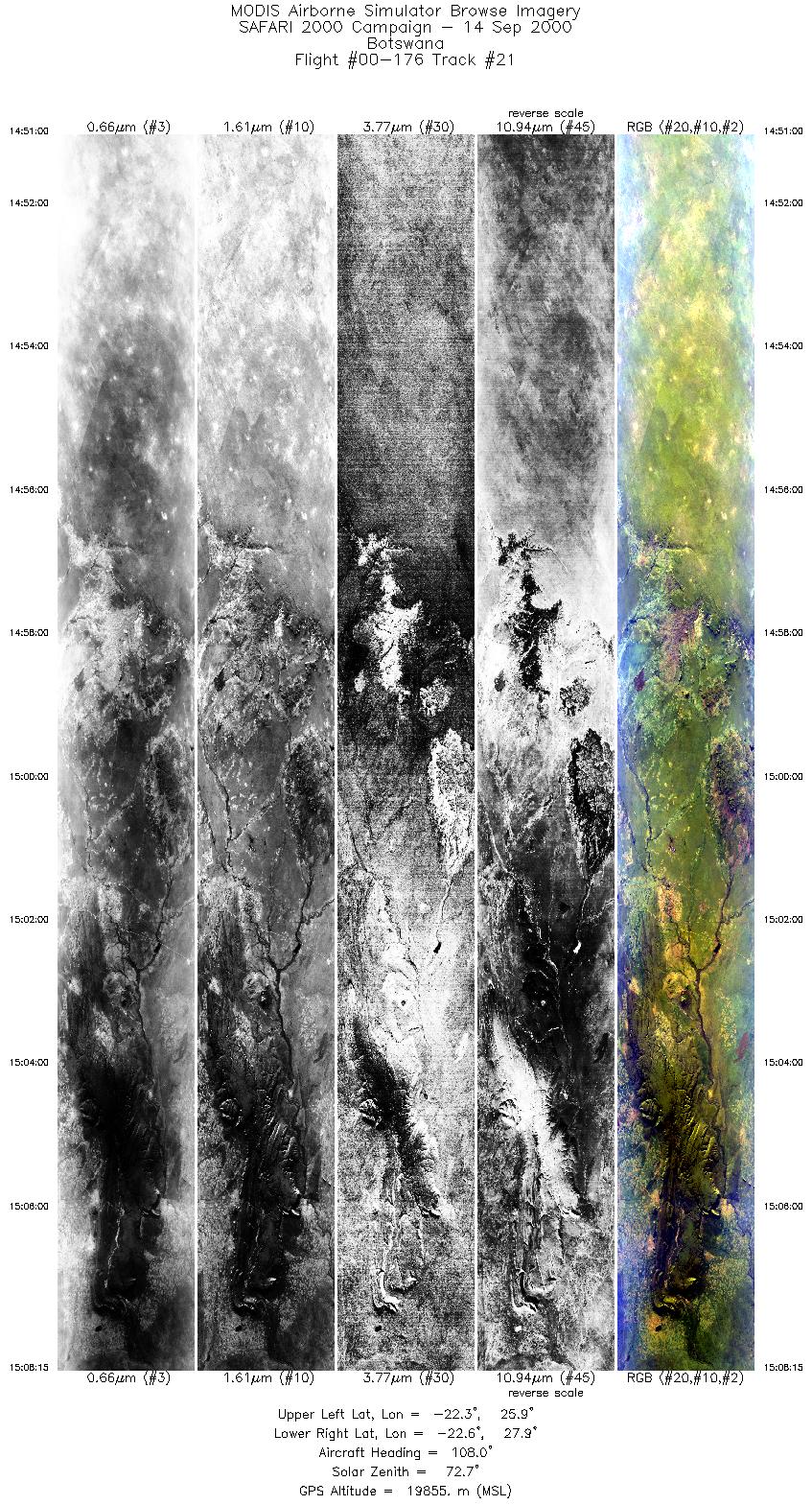
Browse Imagery Flight Tracks: 21 Scanlines: 146047 |
|||||||||||||||||||||||||||||||||||||||||||||||||||||||||||||||||||||||||||||||||||||||||||||||||||||||||||||||||||||||||||||||||||||||||||||||||||||||||||||||||||||||||||||||
|
|||||||||||||||||||||||||||||||||||||||||||||||||||||||||||||||||||||||||||||||||||||||||||||||||||||||||||||||||||||||||||||||||||||||||||||||||||||||||||||||||||||||||||||||
|
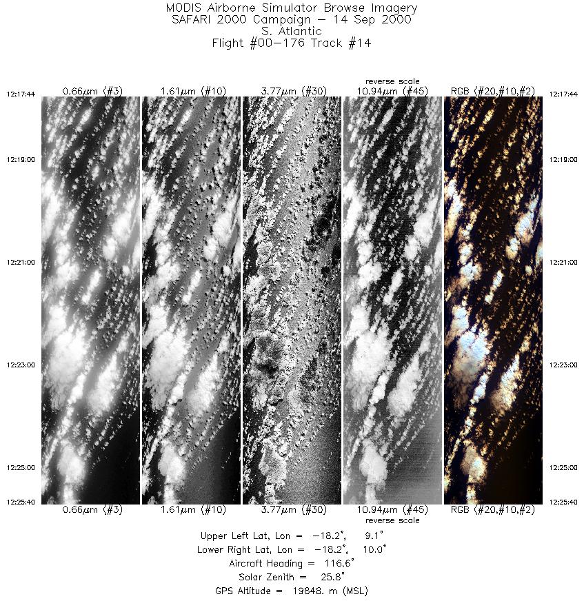
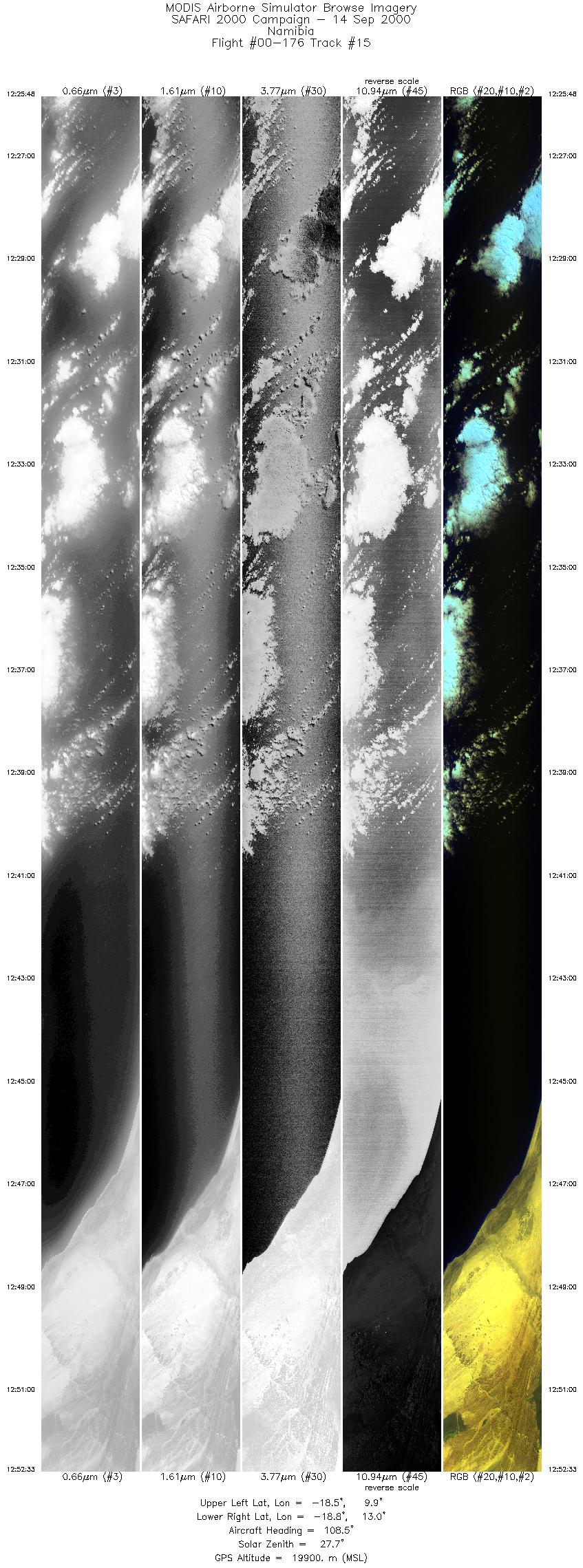
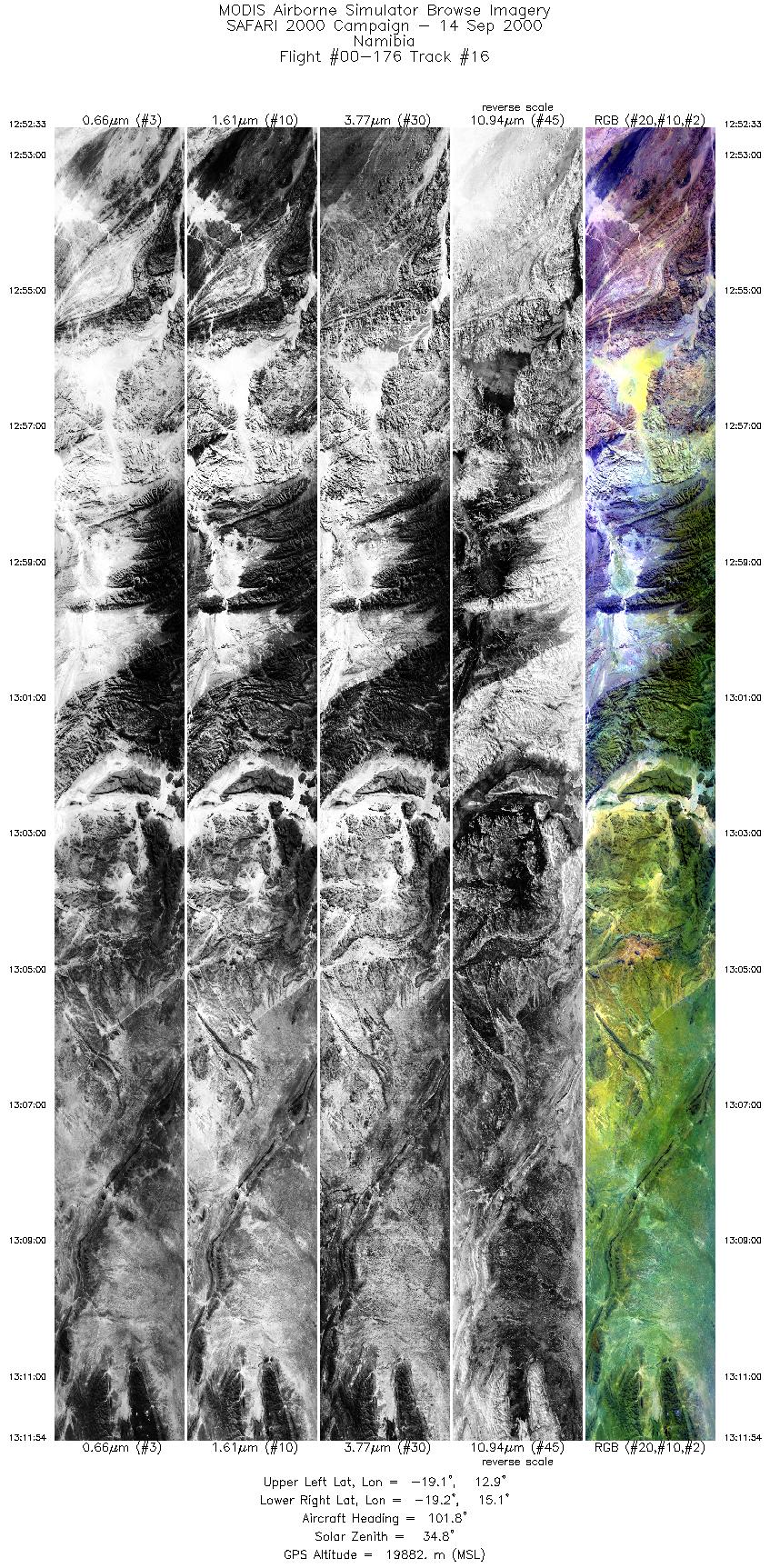
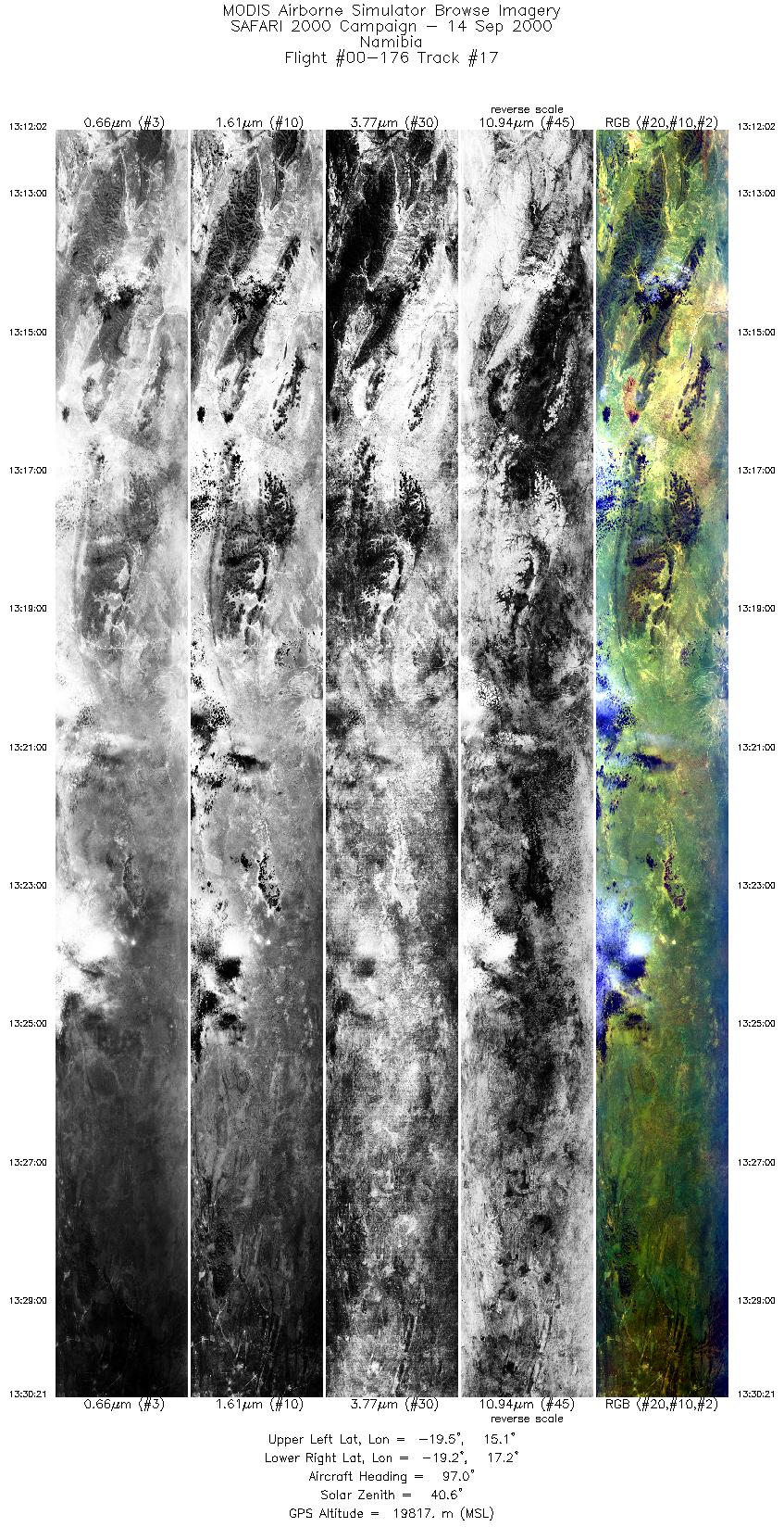
Flight Summary Report Author: Steve Platnick Mission Scientist: Dr. Michael King ER-2 Pilot: Jan Nystrom Takeoff: 0800 (UTC) Landing: 1540 (UTC) Duration: 7:36 (h:mm) Objective and Summary:
The UK C-130 (based in Windhoek, Namibia) flew northward to intercept marine stratocumulus along the Angolan/Namibian border during the time of the Terra overpass, followed by some cloud sampling coordinated with the ER-2; broken mulitlayer clouds were reported by the C-130. The University of Washington CV-580 (based in Walvis Bay, Namibia) made clear sky aerosol and chemistry measurements off Walvis Bay. Key Flight Legs:The ER-2 tracks parallel to Terra overflew clear sky to the south and marine stratocumulus to the north. The Terra overpass (1012 UTC) occurred about one hour before the arrival of the ER-2 (1117 UTC) and about 350 km farther west. Highlights:Coastal stratus along southern Angolan coast with UK C-130 in situ cloud sampling, Okaukuejo camp in ENP. AERONET sites and features overflown during this mission:
N/A Meteorology:Thursday's forecast (Steve Medcalf, SAWB): A cold front moved to the central areas of South Africa and southeastwards out to sea off the southern Kwazulu Natal coast. Very cold air is in circulation to the rear of the front with some snow being reported from areas on the high ground. Ahead of the front, a dry offshore northwesterly flow persists. Coastal lows are visible along the Namibian coast and in Maputo area. Aloft, a steep upper trough continues its development west of the country. Cloudy, cold and rainy will occur to the rear of the front with some light snowfalls on the mountain ranges of the southern, southeastern and eastern Cape. Isolated thundershowers are possible over the western area and over the highveld regions of Mpumalanga and Gauteng, ahead of the approching front. Fine and hot in the north, foggy along the northern Namibian coast. ER-2 Science Instrument Payload Status
|
|||||||||||||||||||||||||||||||||||||||||||||||||||||||||||||||||||||||||||||||||||||||||||||||||||||||||||||||||||||||||||||||||||||||||||||||||||||||||||||||||||||||||||||||

Flight 00-176


| Sample Imagery |
| Click image for full resolution |
|
Track #3 Botswana |


|
|
R: 2.15µm G: 1.64µm B: 0.55µm |
- NASA Official: Matt Fladeland
- Project Manager: James Jacobson
- Website Editor: Eric Fraim
- Last Updated: November 16, 2021


