


MODIS Airborne Simulator (MAS)
FLIGHT SUMMARY INFORMATION


|
Flight: 00-175 Date: 13 September 2000 Location: South Africa, Botswana, Namibia, and Atlantic Ocean Deployment: SAFARI Principal Investigator: Dr. Michael King (NASA GSFC) Flight Scientist: Dr. Steven Platinick (NASA GSFC) Additional Sensors: AirMISR, CLS, LAS, MOPITT-A, S-HIS, & SSFR Objective: To understand the key linkages between the physical, chemical and biological processes, including human activities, that comprise the southern African biogeophysical system. |
|||||||||||||||||||||||||||||||||||||||||||||||||||||||||||||||||||||||||||||||||||||||||||||||||||||||||||||||||||||||||||||||||||||||||||||||||||||||||||||||||
|
Data Evaluation Overall quality is good |
|||||||||||||||||||||||||||||||||||||||||||||||||||||||||||||||||||||||||||||||||||||||||||||||||||||||||||||||||||||||||||||||||||||||||||||||||||||||||||||||||
|
Processing Information Level-1B Data in HDF format is available Flight Line Summary Spectral Band Configuration Spectral Response Function Table |
|||||||||||||||||||||||||||||||||||||||||||||||||||||||||||||||||||||||||||||||||||||||||||||||||||||||||||||||||||||||||||||||||||||||||||||||||||||||||||||||||
|
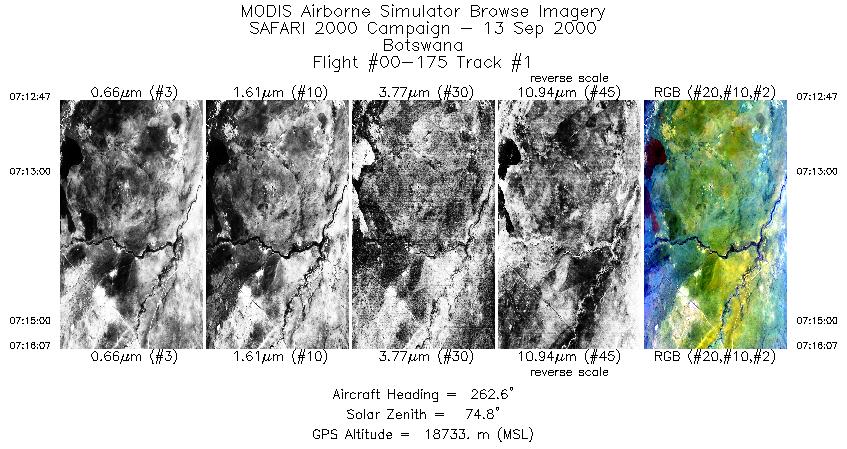
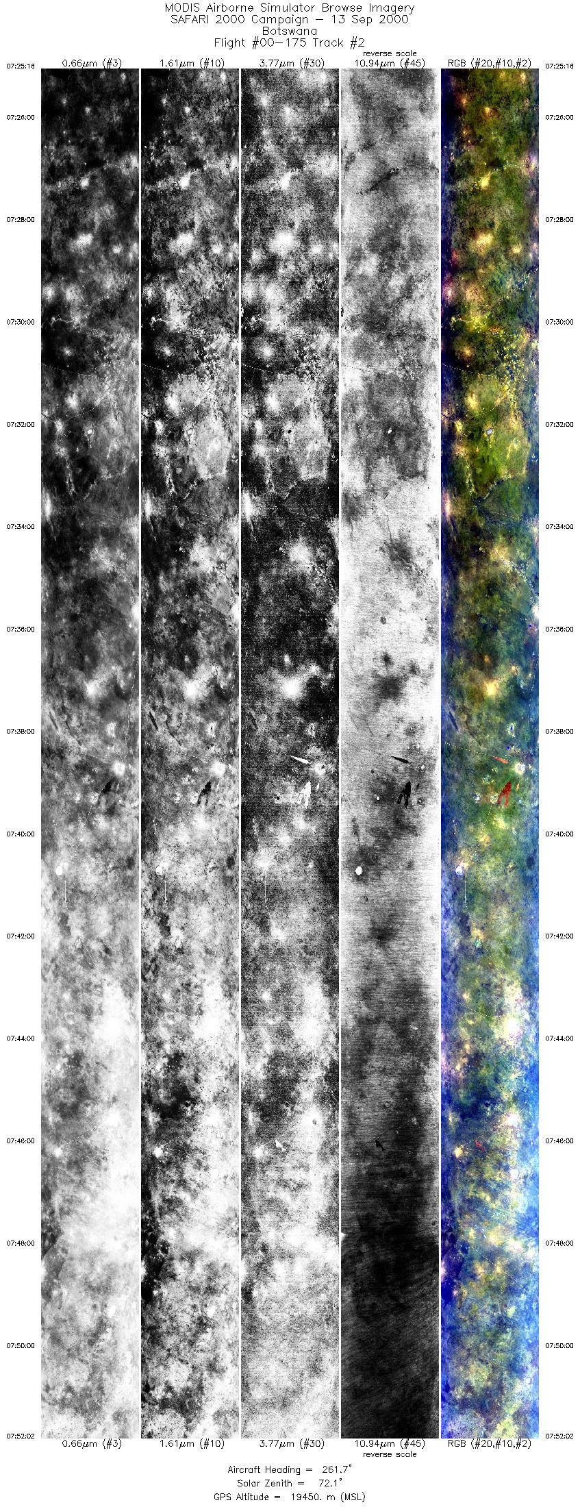
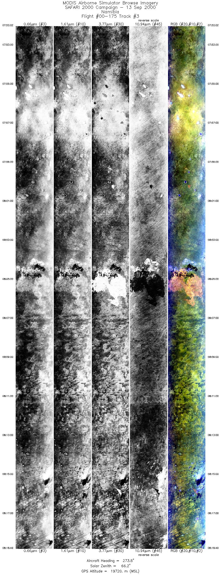
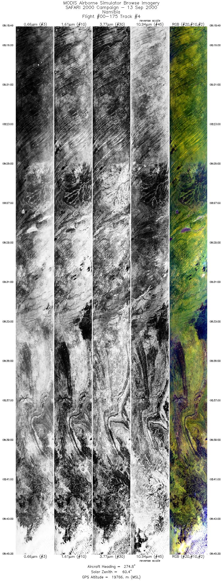
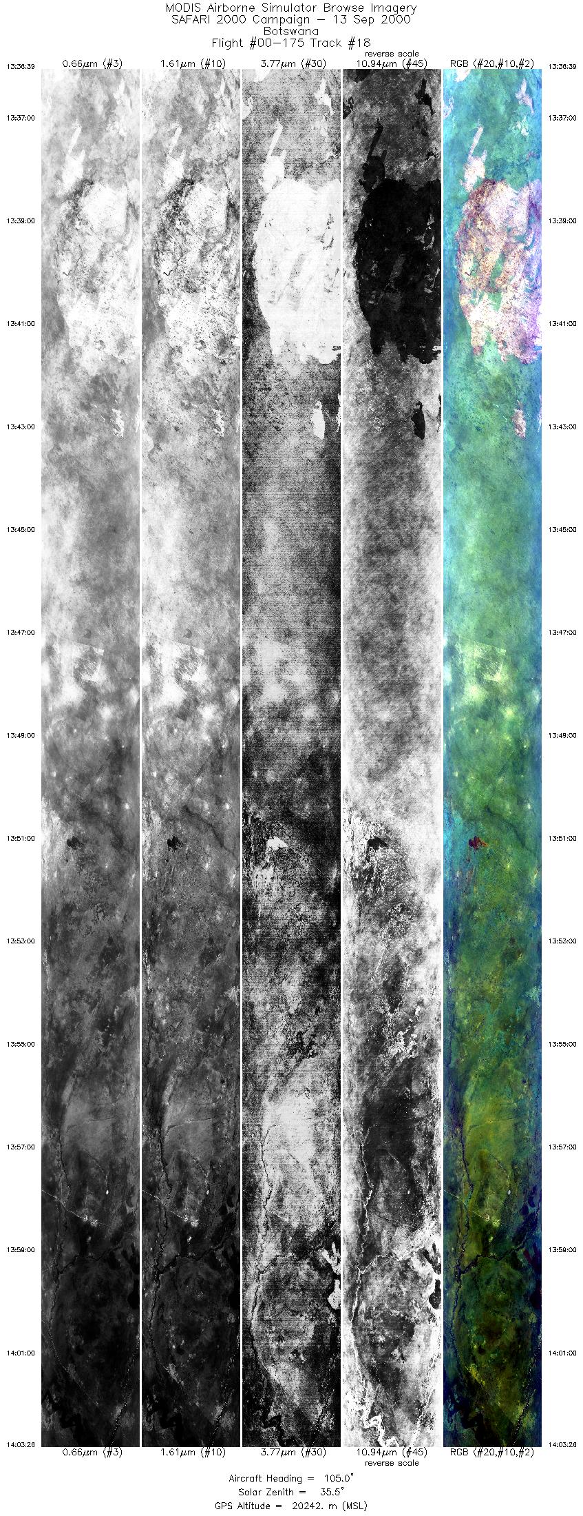
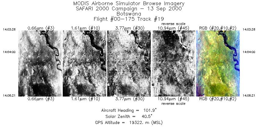
Browse Imagery Flight Tracks: 19 Scanlines: 136089 |
|||||||||||||||||||||||||||||||||||||||||||||||||||||||||||||||||||||||||||||||||||||||||||||||||||||||||||||||||||||||||||||||||||||||||||||||||||||||||||||||||
|
|||||||||||||||||||||||||||||||||||||||||||||||||||||||||||||||||||||||||||||||||||||||||||||||||||||||||||||||||||||||||||||||||||||||||||||||||||||||||||||||||
|
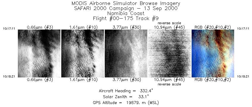
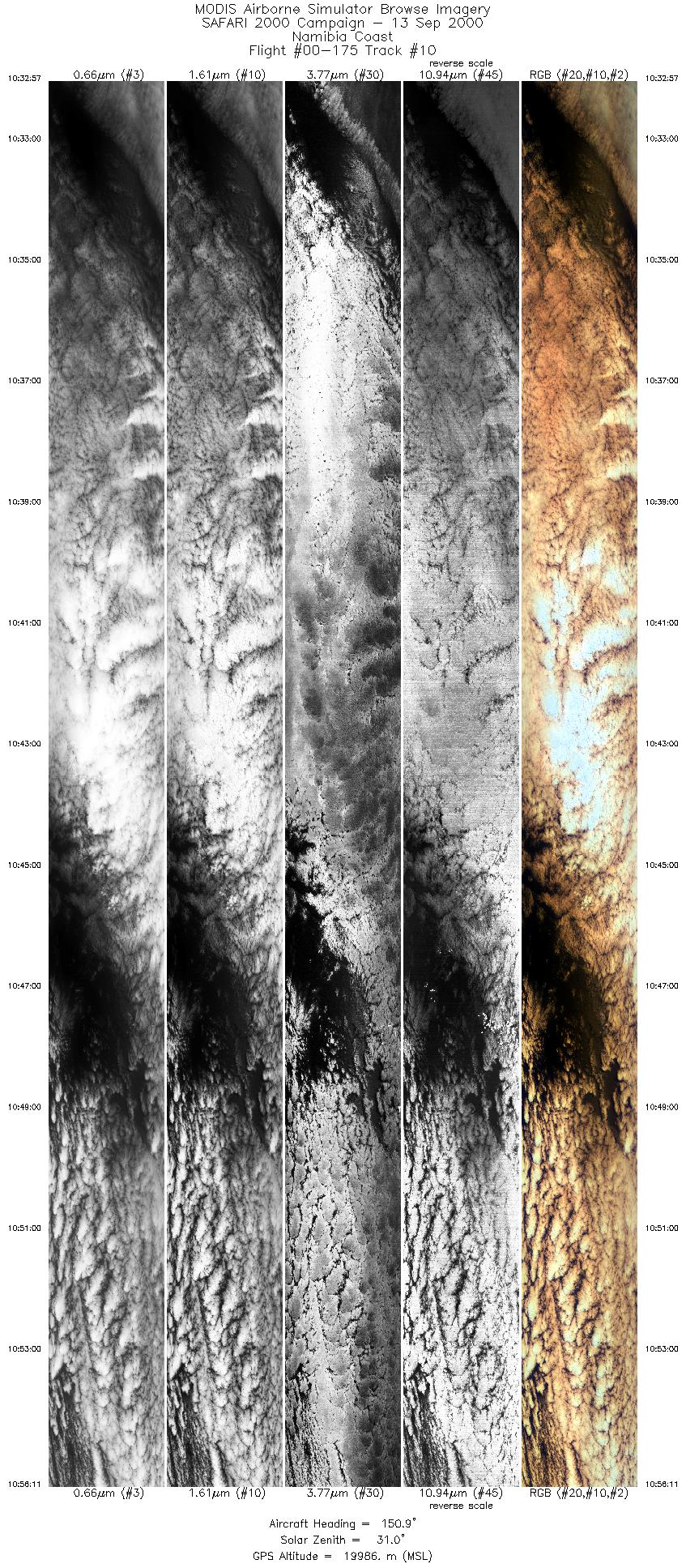
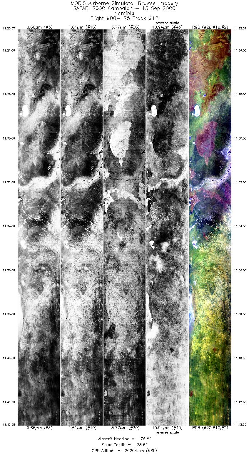
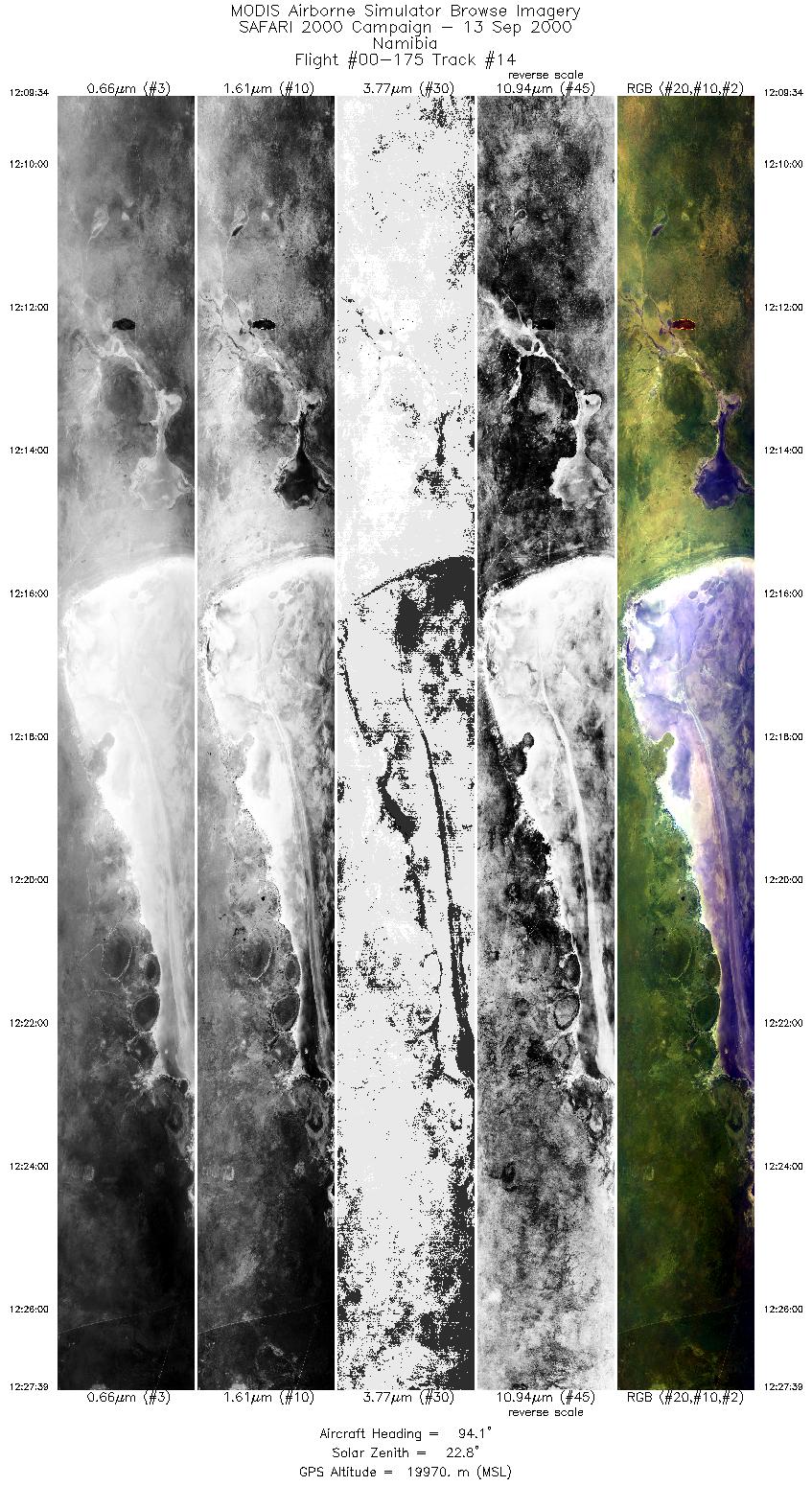
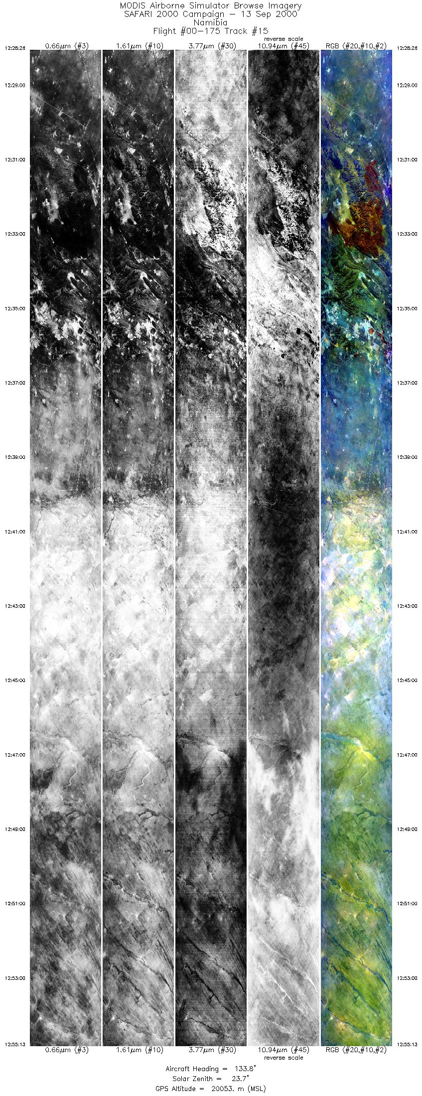
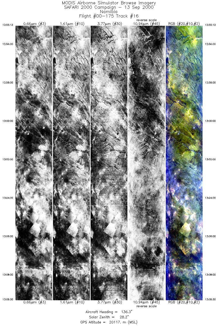
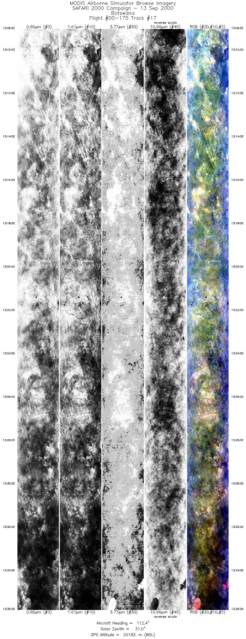
Flight Summary Report Author: Steve Platnick Mission Scientist: Dr. Michael King ER-2 Pilot: Dave Wright Takeoff: 0640 (UTC) Landing: 1440 (UTC) Duration: 8:00 (h:mm) Objective and Summary:
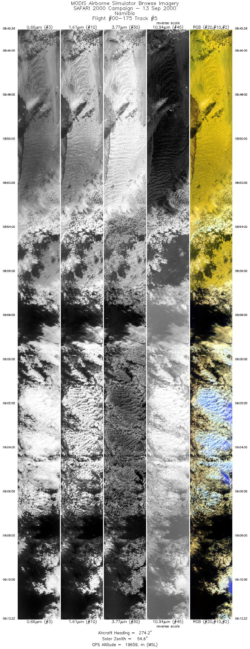
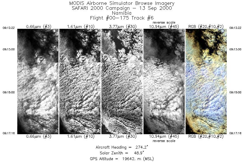
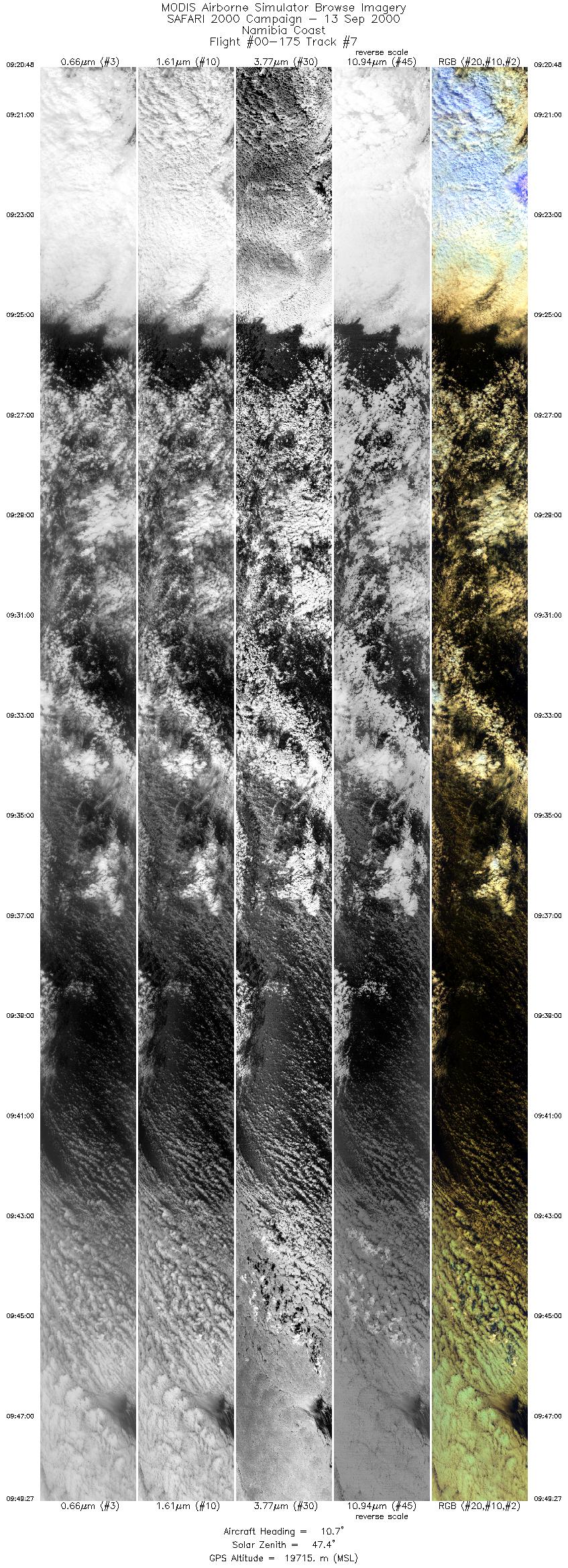
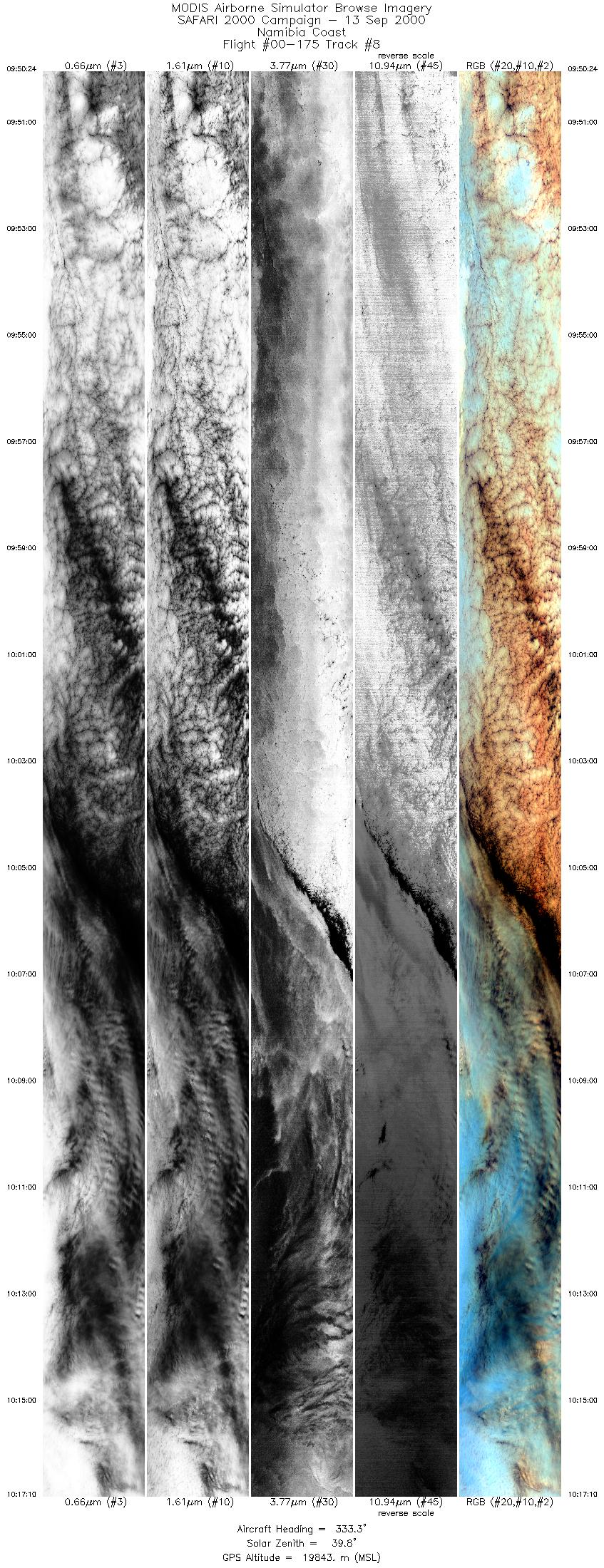
The University of Washington CV-580 (based in Walvis Bay, Namibia) sampled Northern Namibia coastal stratus during the Terra/ER-2 overflights. The UK C130 (based in Windhoek, Namibia) did clear sky work in the vicinity of ENP. Key Flight Legs:The ER-2 track parallel to Terra, occurring at the same time as the overpass but approximately 250 km west of the satellite ground track, included broken low and midlevel clouds to the south and marine stratocumulus to the north. Highlights:Coastal stratus along northern Namibian coast with UW CV-580 in situ cloud sampling; the Okwa River and Tshaney SAVE sites in Botswana. AERONET sites were overflown during this mission:
N/A Meteorology:Wednesday's forecast (Steve Medcalf, SAWB): A cold front is pushing through the Cape with a coastal low on the southeast coast. The ridge from the Indian ocean high has weakened with moist influx confined to the Zambezi valley. A coastal low has developed along the Namibian coast. Aloft, a well-marked trough is developing to the west. Showers are expected along the southwestern and southern coastal regions with snow on the mountain ranges of the southwestern and southern Cape. A band of middle level moisture has spread into the southern and central parts of Namibia and central Botswana. Subsidence ahead of the approaching trough is causing fine weather over northern Namibia. Isolated thundershowers are possible over the central interior of South Africa. ER-2 Science Instrument Payload Status
|
|||||||||||||||||||||||||||||||||||||||||||||||||||||||||||||||||||||||||||||||||||||||||||||||||||||||||||||||||||||||||||||||||||||||||||||||||||||||||||||||||

Flight 00-175


| Sample Imagery |
| Click image for full resolution |
|
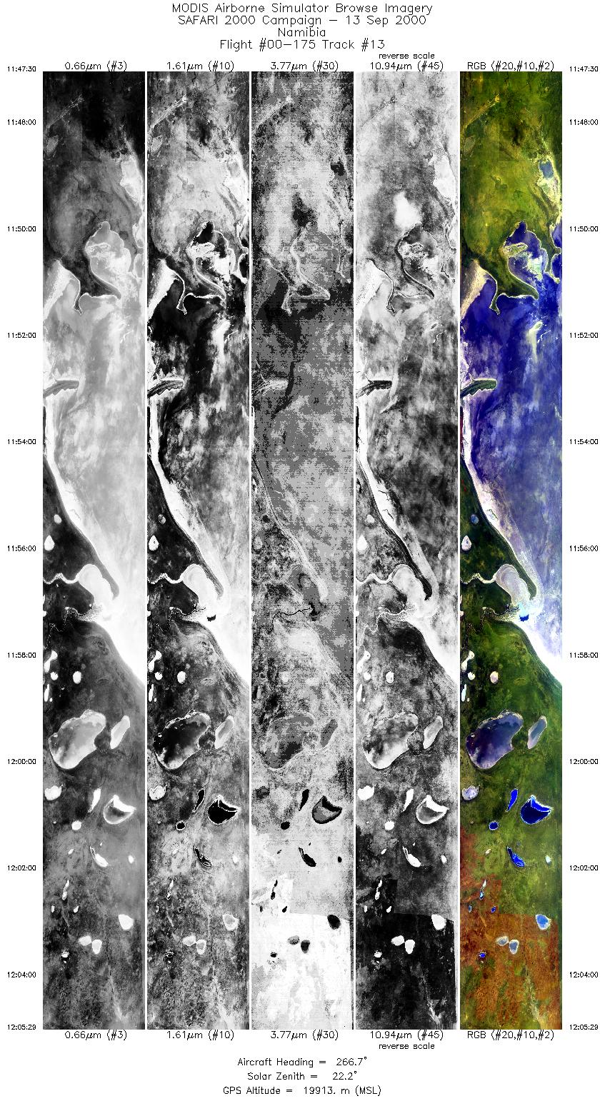
Track #13 Namibia |


|
|
R: 2.15µm G: 1.64µm B: 0.55µm |
- NASA Official: Matt Fladeland
- Project Manager: James Jacobson
- Website Editor: Eric Fraim
- Last Updated: November 16, 2021


