


MODIS Airborne Simulator (MAS)
FLIGHT SUMMARY INFORMATION


|
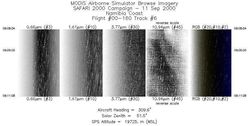
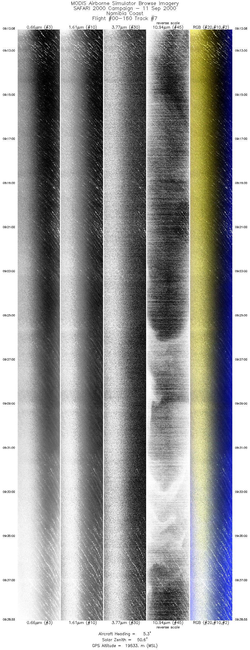
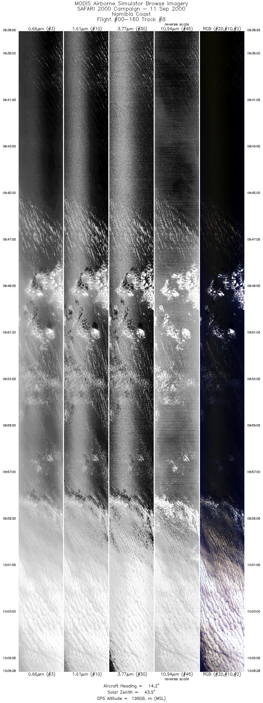
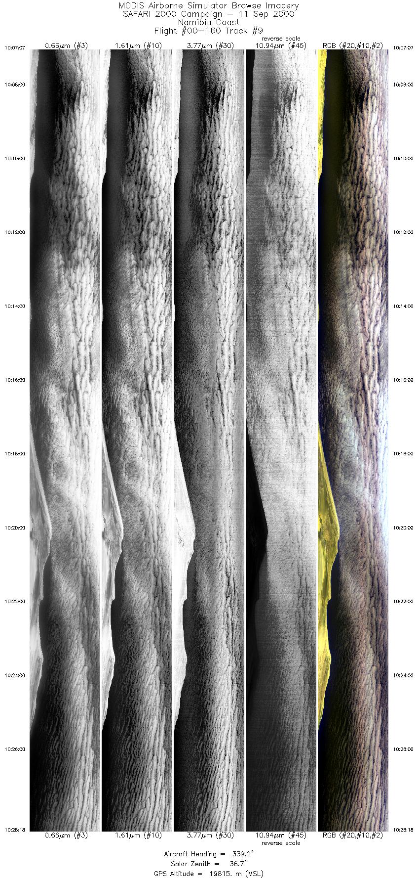
Flight: 00-160 Date: 11 September 2000 Location: South Africa, Botswana, Namibia, and Atlantic Ocean Deployment: SAFARI Principal Investigator: Dr. Michael King (NASA GSFC) Flight Scientist: Dr. Steven Platinick (NASA GSFC) Additional Sensors: AirMISR, CLS, LAS, MOPITT-A, S-HIS, & SSFR Objective: To understand the key linkages between the physical, chemical and biological processes, including human activities, that comprise the southern African biogeophysical system. |
|||||||||||||||||||||||||||||||||||||||||||||||||||||||||||||||||||||||||||||||||||||||||||||||||||||||||||||||||||||||||||||||||||||||||||||||||||||||||||||||||||||||||||||||||||||||||||||
|
Data Evaluation Overall quality is good |
|||||||||||||||||||||||||||||||||||||||||||||||||||||||||||||||||||||||||||||||||||||||||||||||||||||||||||||||||||||||||||||||||||||||||||||||||||||||||||||||||||||||||||||||||||||||||||||
|
Processing Information Level-1B Data in HDF format is available Flight Line Summary Spectral Band Configuration Spectral Response Function Table |
|||||||||||||||||||||||||||||||||||||||||||||||||||||||||||||||||||||||||||||||||||||||||||||||||||||||||||||||||||||||||||||||||||||||||||||||||||||||||||||||||||||||||||||||||||||||||||||
|
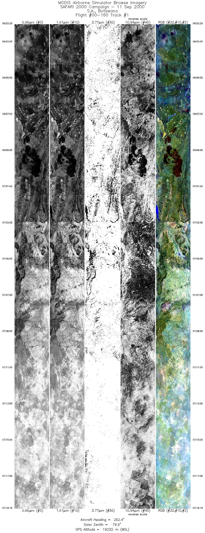
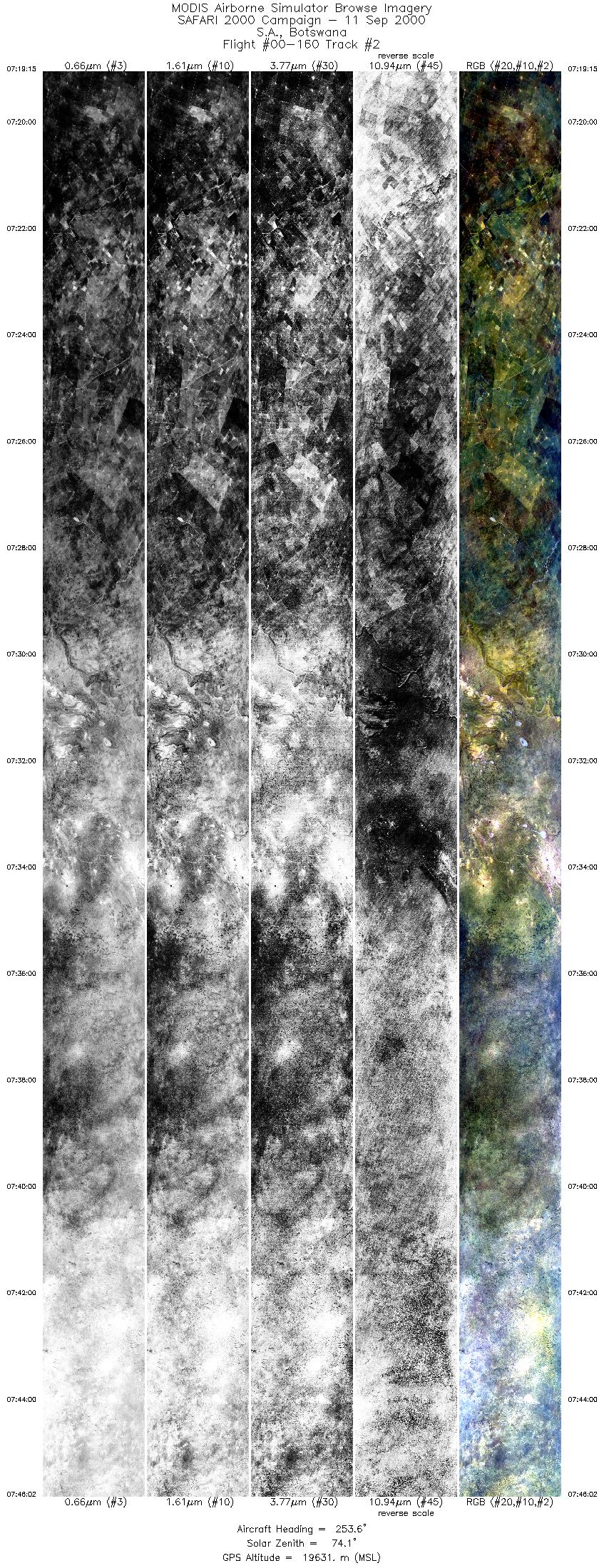
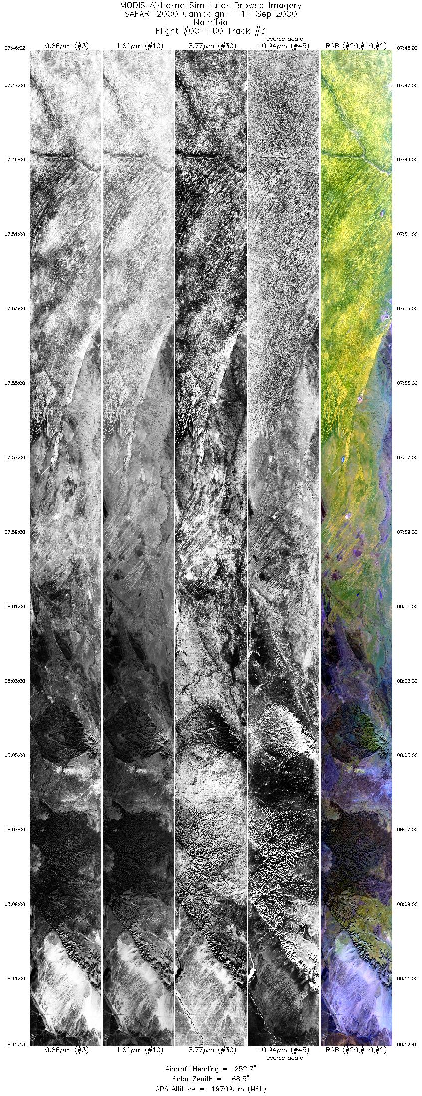
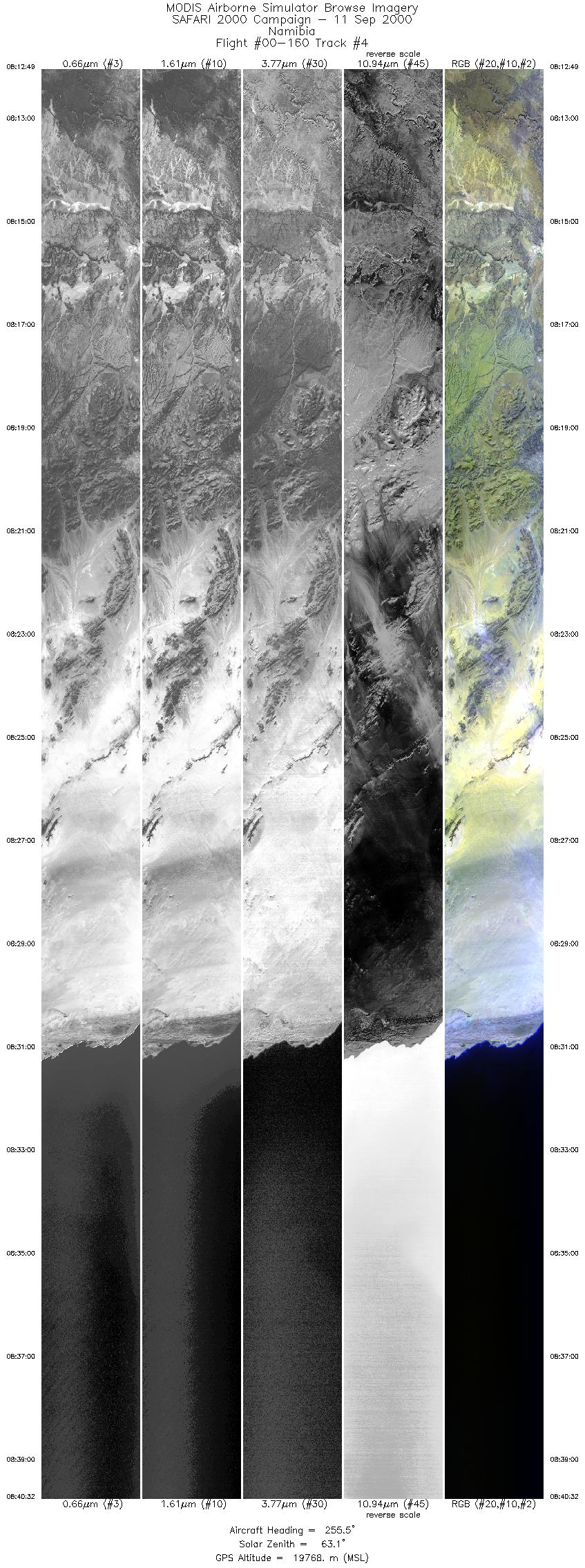
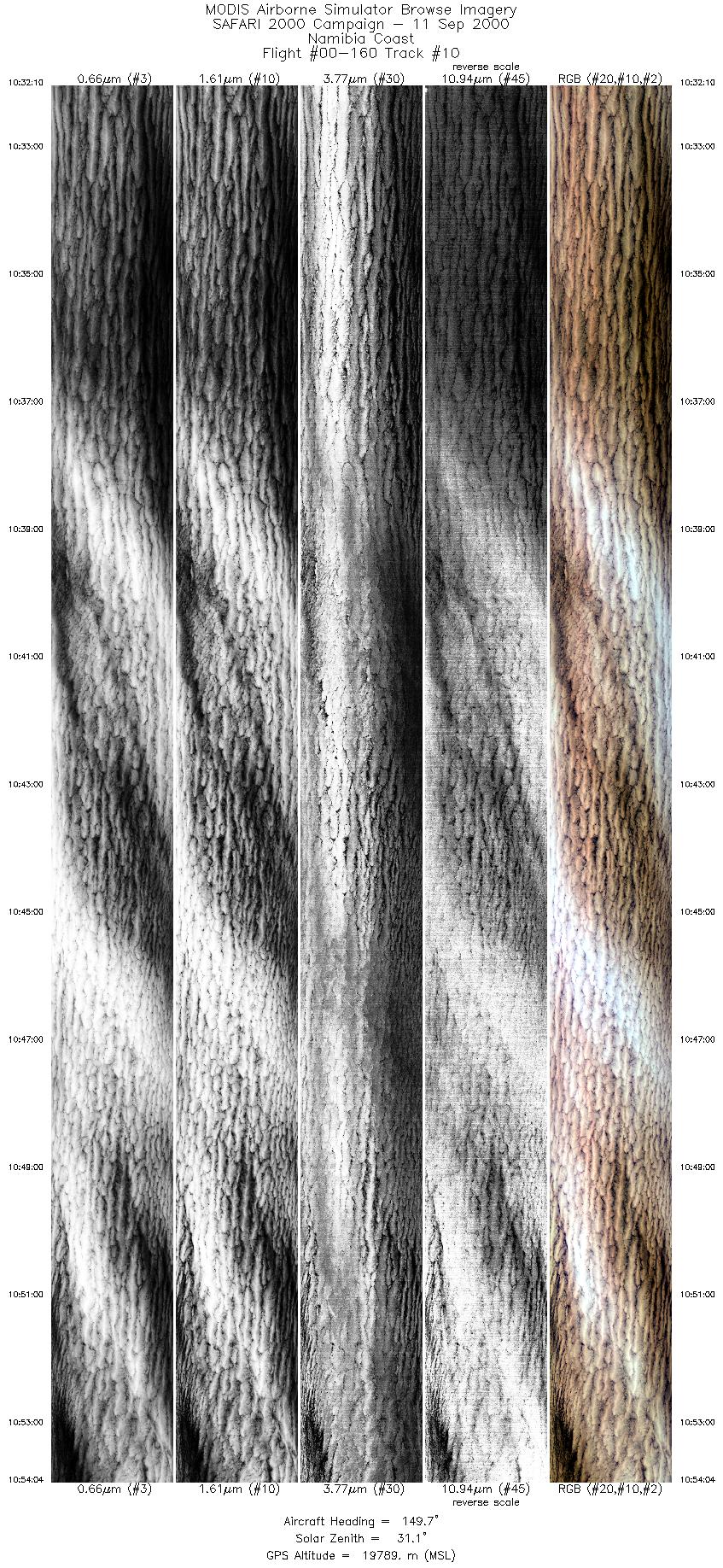
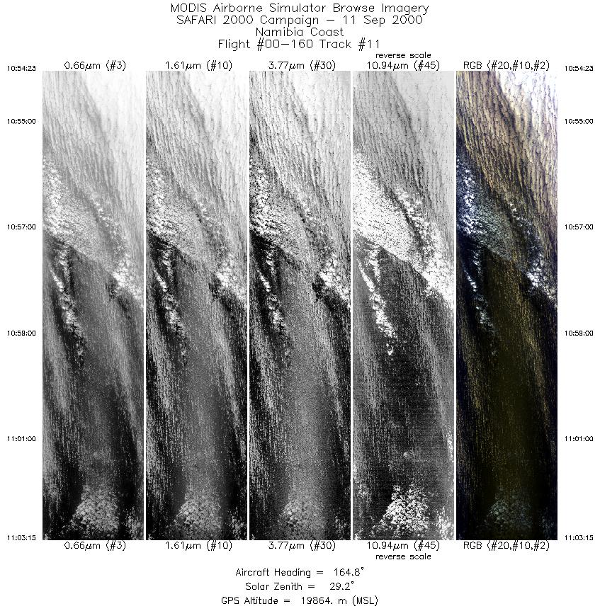
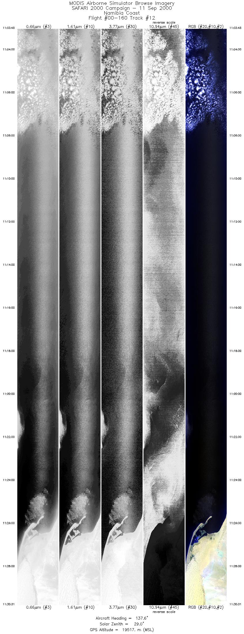
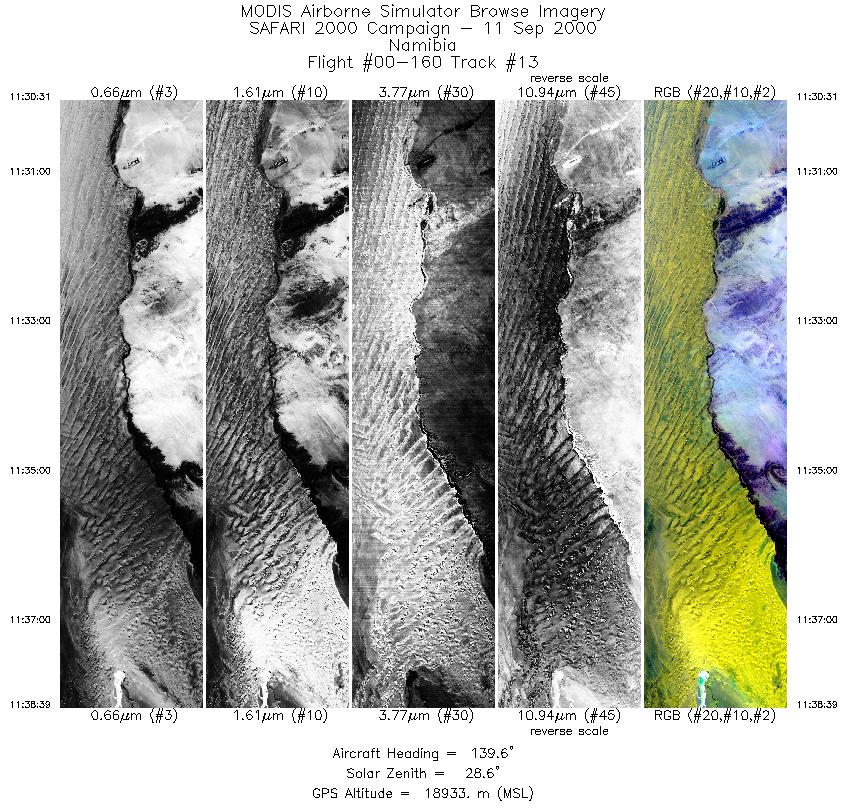
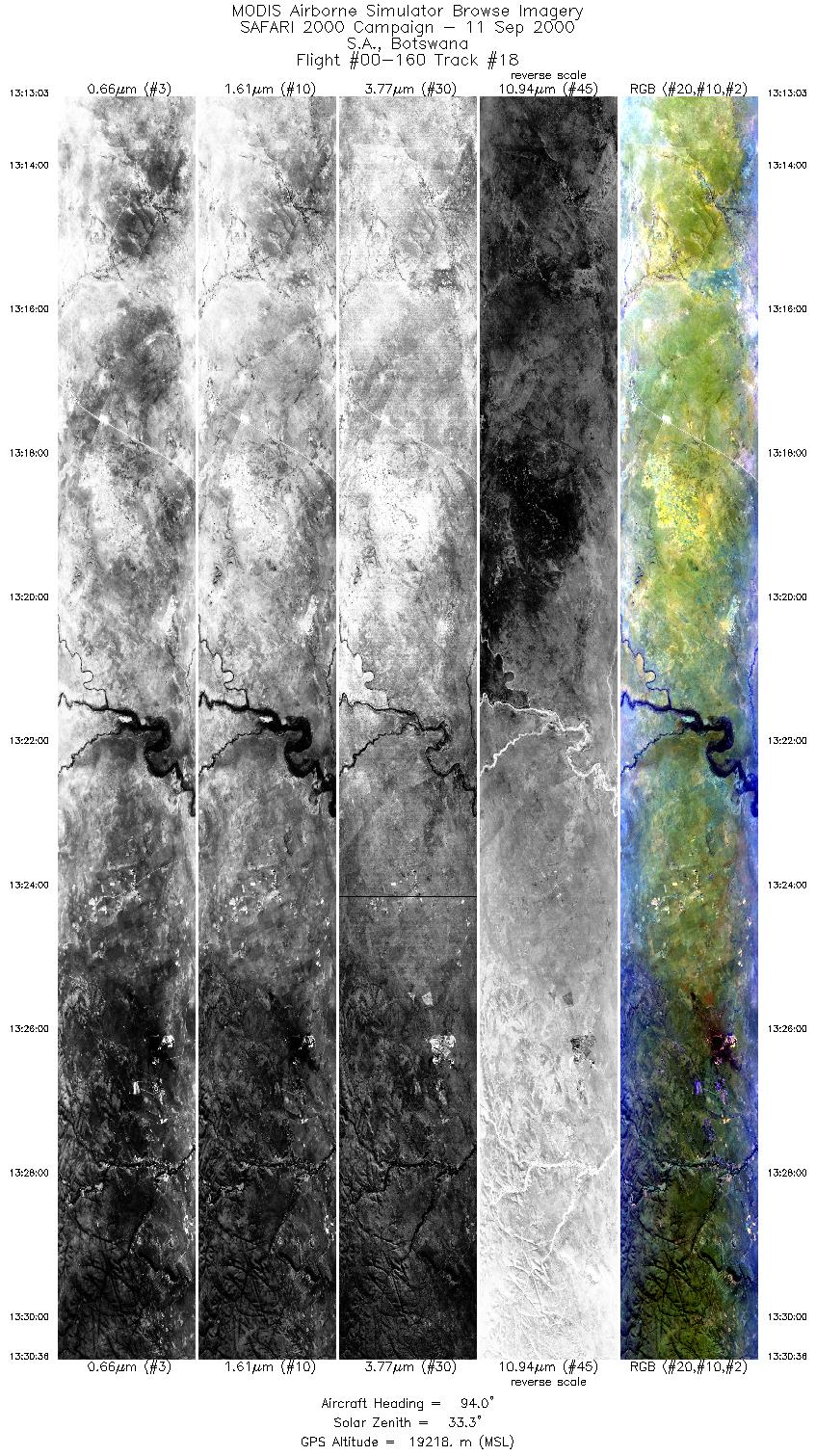
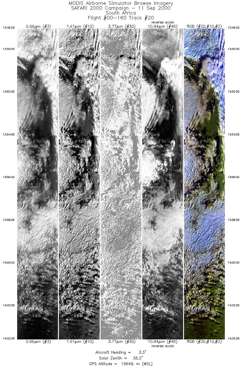
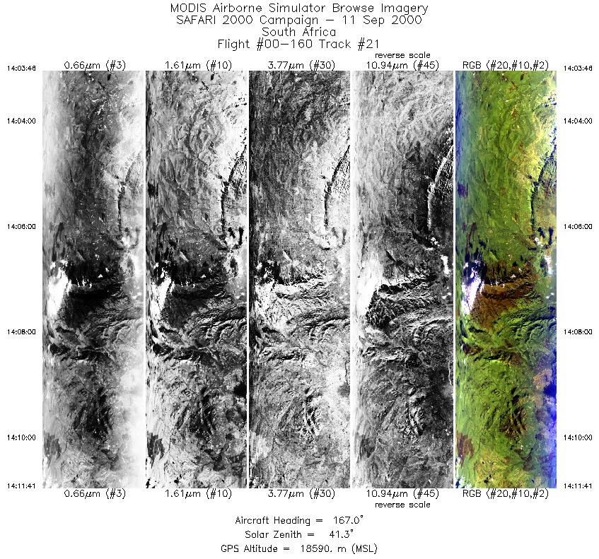
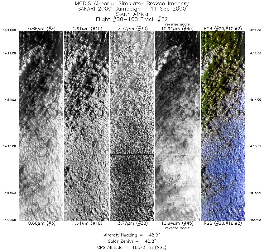
Browse Imagery Flight Tracks: 22 Scanlines: 154121 |
|||||||||||||||||||||||||||||||||||||||||||||||||||||||||||||||||||||||||||||||||||||||||||||||||||||||||||||||||||||||||||||||||||||||||||||||||||||||||||||||||||||||||||||||||||||||||||||
|
|||||||||||||||||||||||||||||||||||||||||||||||||||||||||||||||||||||||||||||||||||||||||||||||||||||||||||||||||||||||||||||||||||||||||||||||||||||||||||||||||||||||||||||||||||||||||||||
|
Flight Summary Report Author: Steve Platnick Mission Scientist: Dr. Michael King ER-2 Pilot: Jan Nystrom Takeoff: 0620 (UTC) Landing: 1525 (UTC) Duration: 9:18* (h:mm) * landing delayed due to high crosswinds in Pietersburg, extending the original 8 hour flight Objective and Summary:
The UK C130, based in Windhoek, Namibia, obtained in situ cloud sampling coordinated with the ER-2 towards the two northern ER-2 flight tracks paralleling the northern Namibia coast. The University of Washington CV-580, now based in Walvis Bay, Namibia flew a clear sky mission off the Namibian coast during the Terra/ER-2 overflight. Key Flight Legs:N/A Highlights:ER-2 clear sky and coastal stratus run off northern Namibia coincident and directly under the Terra overpass; ER-2/C130 coordination in stratus; Kuiseb River Canyon. AERONET sites were overflown during this mission:
The ER-2 line along Terra included clear sky to the south and stratocumulus to the north. Meteorology:Monday's forecast (Steve Medcalf, SAWB): A high pressure cell dominates the central and eastern parts of South Africa with a trough over the western areas and a coastal low on the namibian coast. Cloudy in the northeast of South Africa and the southern parts of Zimbabwe. Fog patches over the northern Namibian coast and generally fine weather elsewhere with an offshore flow along the southern Namibian and Cape west coasts. ER-2 Science Instrument Payload Status
|
|||||||||||||||||||||||||||||||||||||||||||||||||||||||||||||||||||||||||||||||||||||||||||||||||||||||||||||||||||||||||||||||||||||||||||||||||||||||||||||||||||||||||||||||||||||||||||||

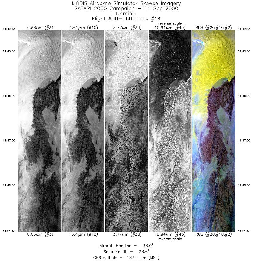
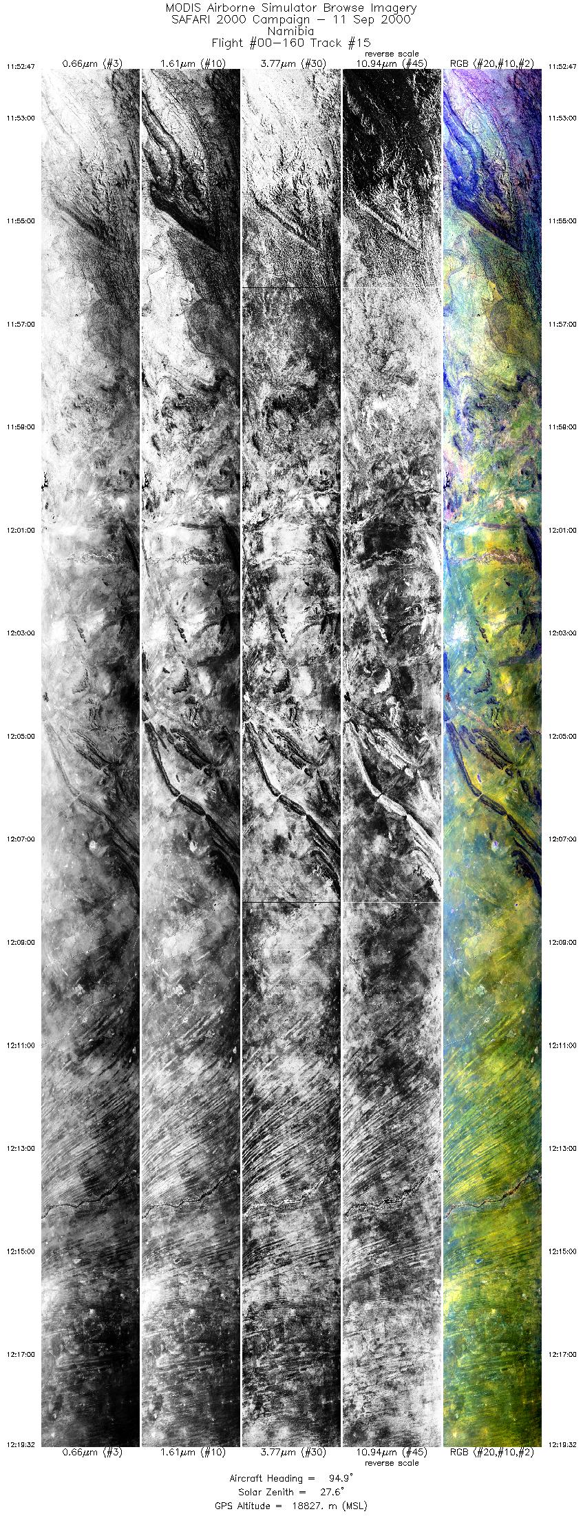
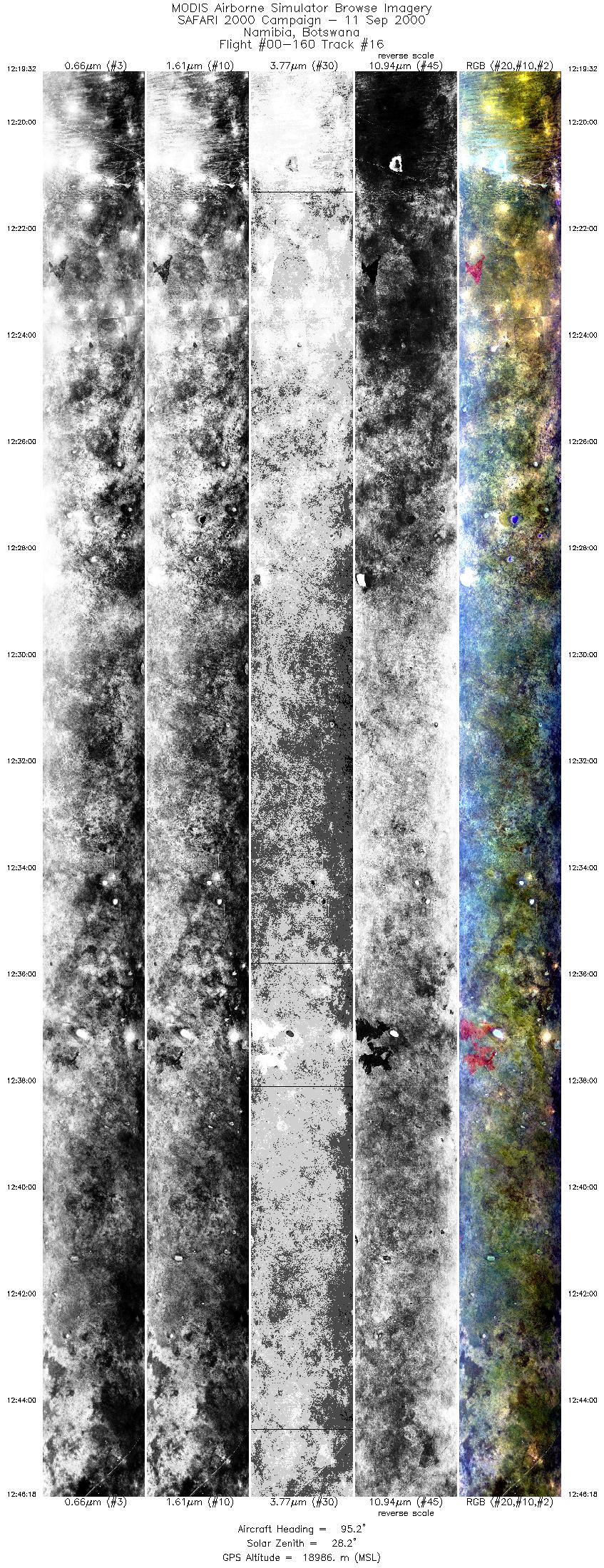
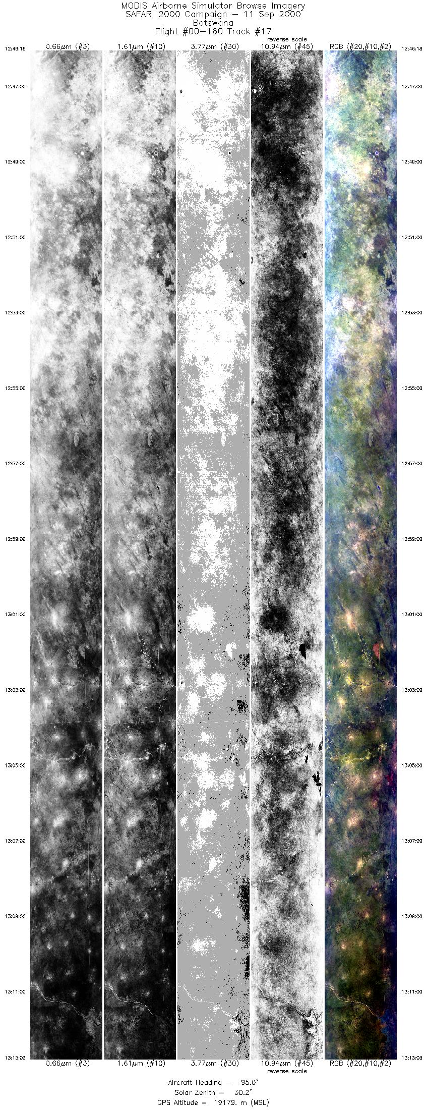
Flight 00-160


| Sample Imagery |
| Click image for full resolution |
|
Track #13 Namibia |


|
|
R: 2.15µm G: 1.64µm B: 0.55µm |
| Sample Imagery |
| Click image for full resolution |
|
Track #15 Namibia |

|
|
R: 2.15µm G: 1.64µm B: 0.55µm |
- NASA Official: Matt Fladeland
- Project Manager: James Jacobson
- Website Editor: Eric Fraim
- Last Updated: November 16, 2021


