


MODIS Airborne Simulator (MAS)
FLIGHT SUMMARY INFORMATION


|
Flight: 00-158 Date: 7 September 2000 Location: South Africa, Mozambique, and Indian Ocean Deployment: SAFARI Principal Investigator: Dr. Michael King (NASA GSFC) Flight Scientist: Dr. Chris Moeller (UW CIMSS) Additional Sensors: AirMISR, CLS, LAS, MOPITT-A, S-HIS, & SSFR Objective: To understand the key linkages between the physical, chemical and biological processes, including human activities, that comprise the southern African biogeophysical system. |
|||||||||||||||||||||||||||||||||||||||||||||||||||||||||||||||||||||||||||||||||||||||||||||||||||||||||||||||||||||||||||||||||||||||||||||||||||||||||||||||||
|
Data Evaluation Overall quality is good |
|||||||||||||||||||||||||||||||||||||||||||||||||||||||||||||||||||||||||||||||||||||||||||||||||||||||||||||||||||||||||||||||||||||||||||||||||||||||||||||||||
|
Processing Information Level-1B Data in HDF format is available Flight Line Summary Spectral Band Configuration Spectral Response Function Table |
|||||||||||||||||||||||||||||||||||||||||||||||||||||||||||||||||||||||||||||||||||||||||||||||||||||||||||||||||||||||||||||||||||||||||||||||||||||||||||||||||
|
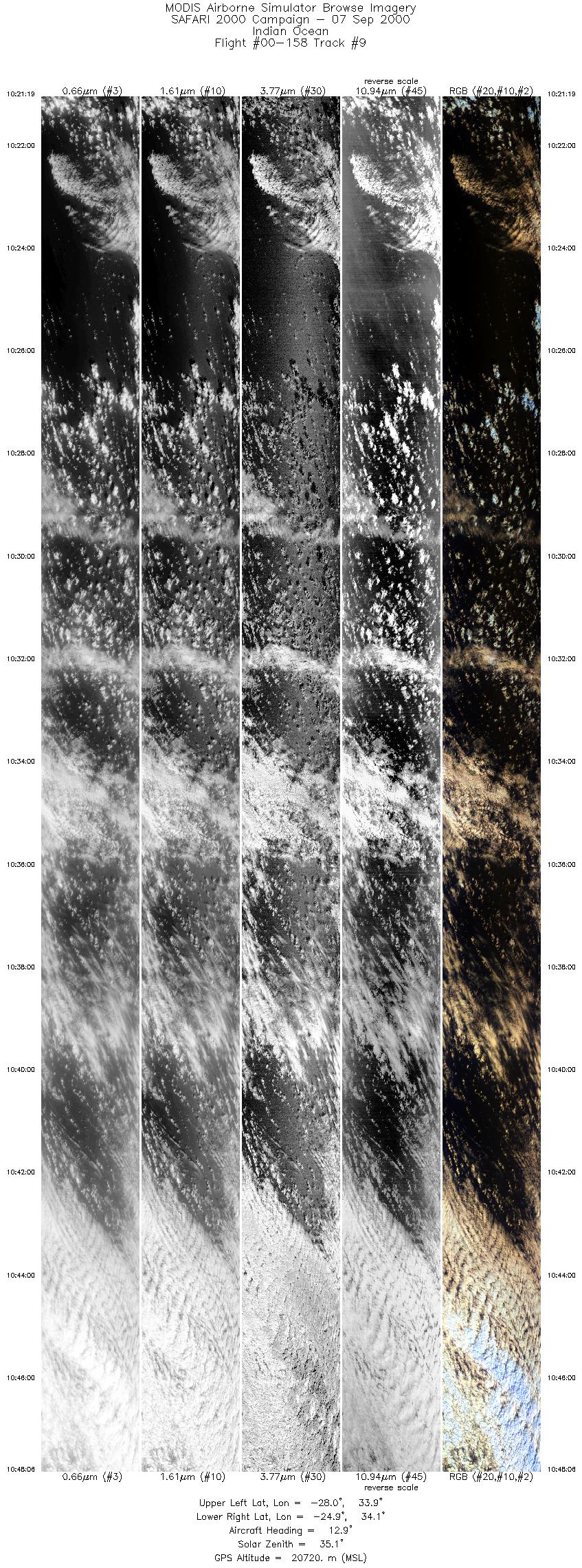
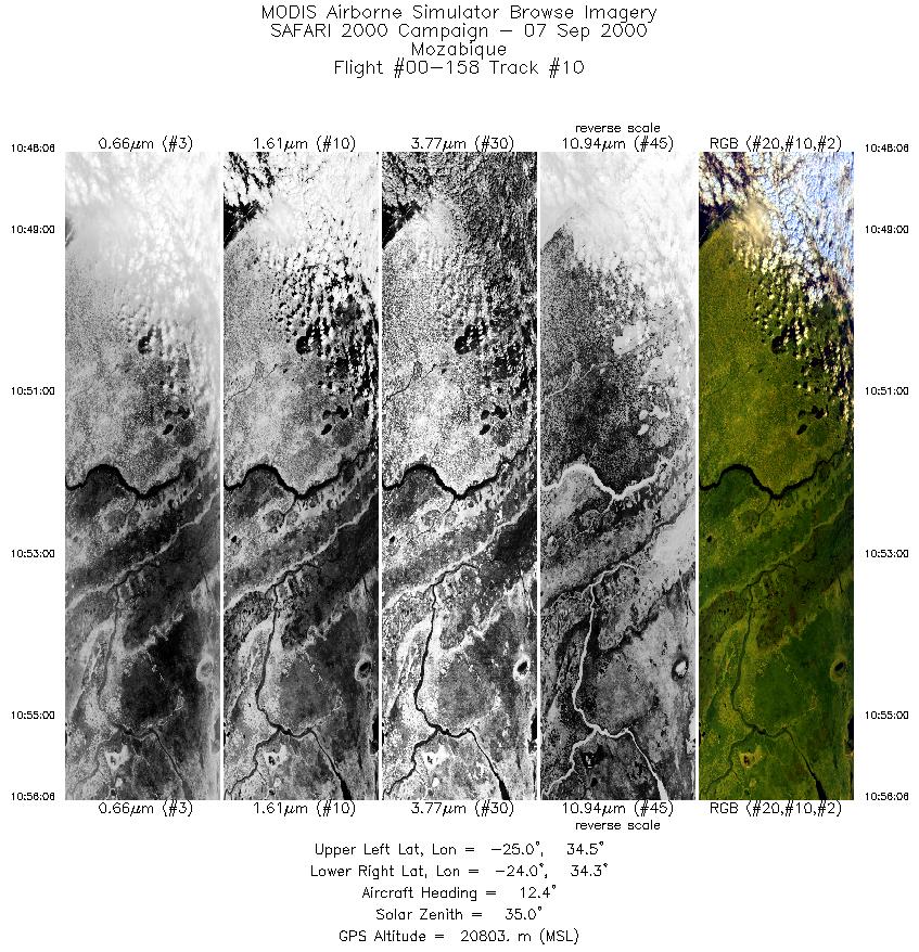
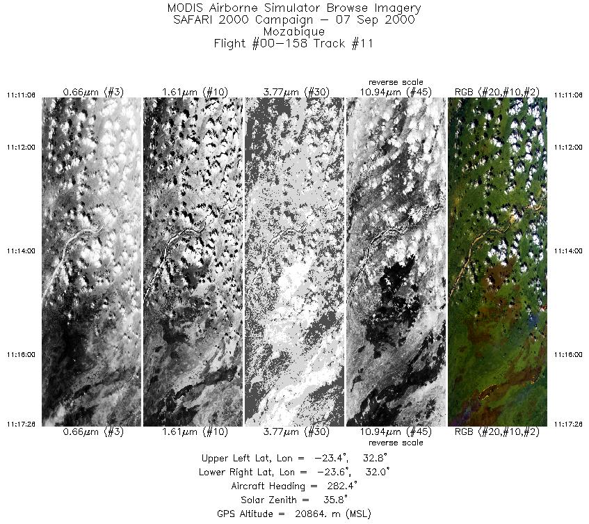
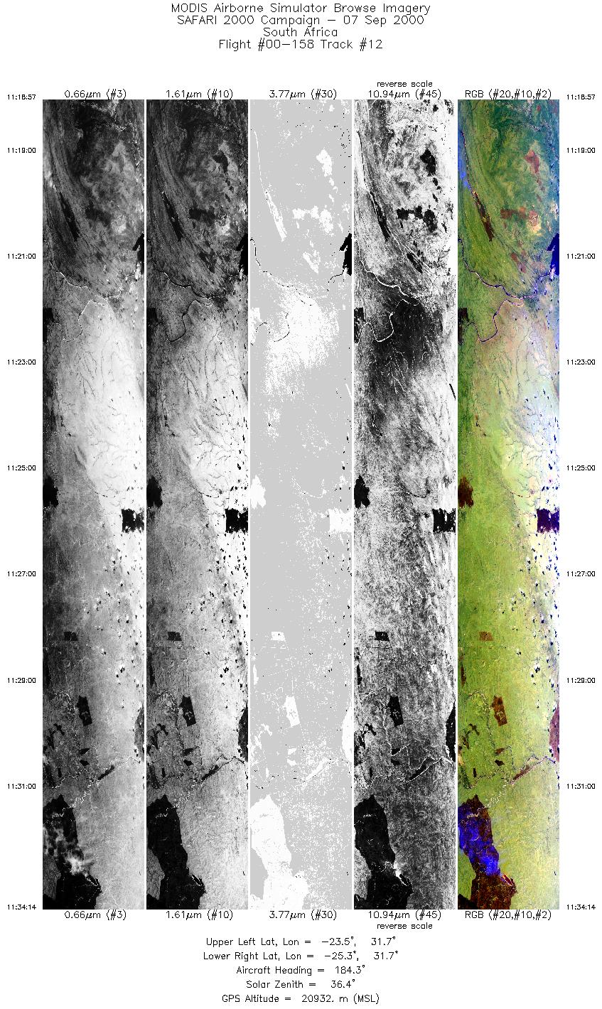
Browse Imagery Flight Tracks: 19 Scanlines: 91650 |
|||||||||||||||||||||||||||||||||||||||||||||||||||||||||||||||||||||||||||||||||||||||||||||||||||||||||||||||||||||||||||||||||||||||||||||||||||||||||||||||||
|
|||||||||||||||||||||||||||||||||||||||||||||||||||||||||||||||||||||||||||||||||||||||||||||||||||||||||||||||||||||||||||||||||||||||||||||||||||||||||||||||||
|
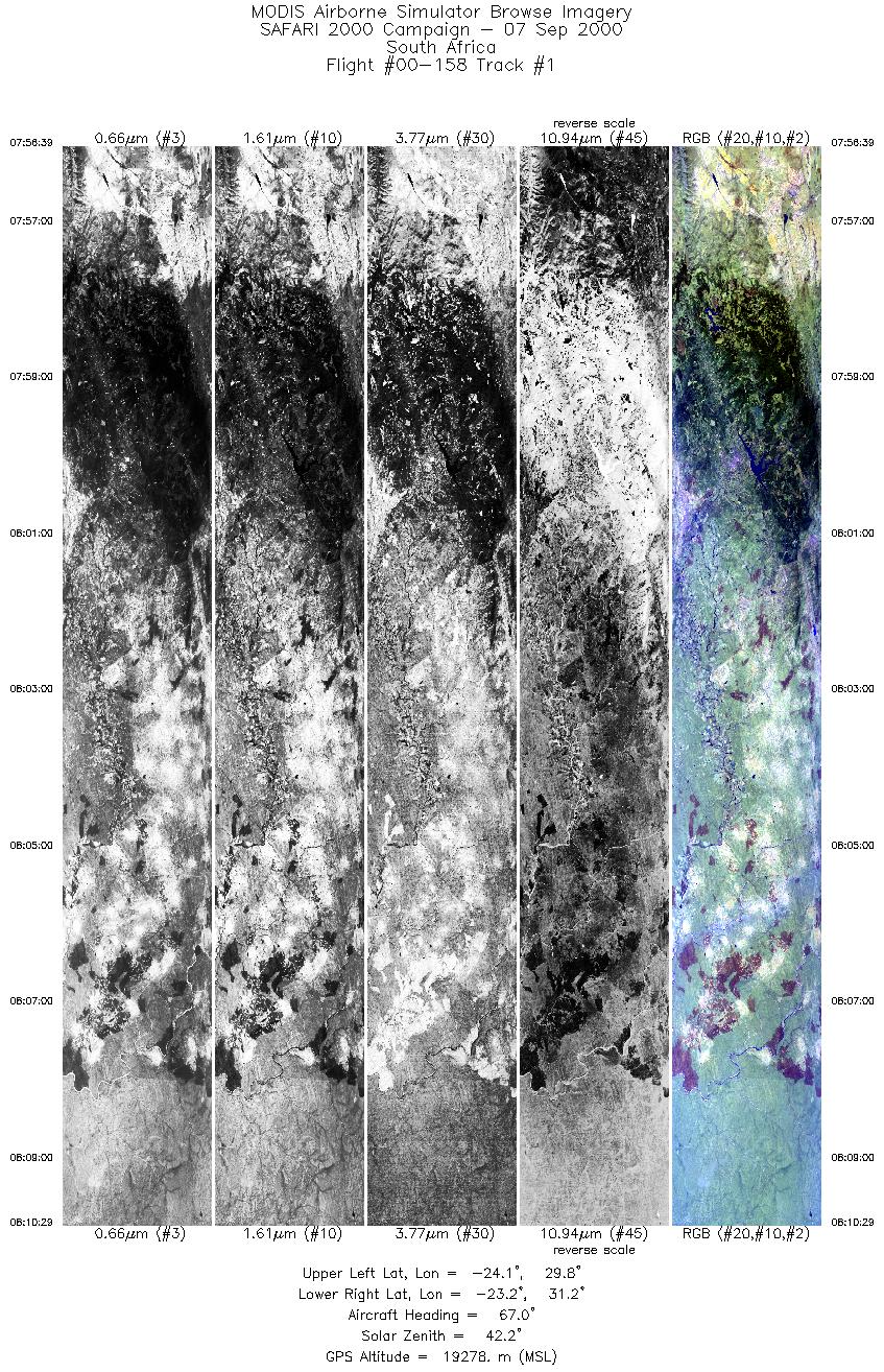
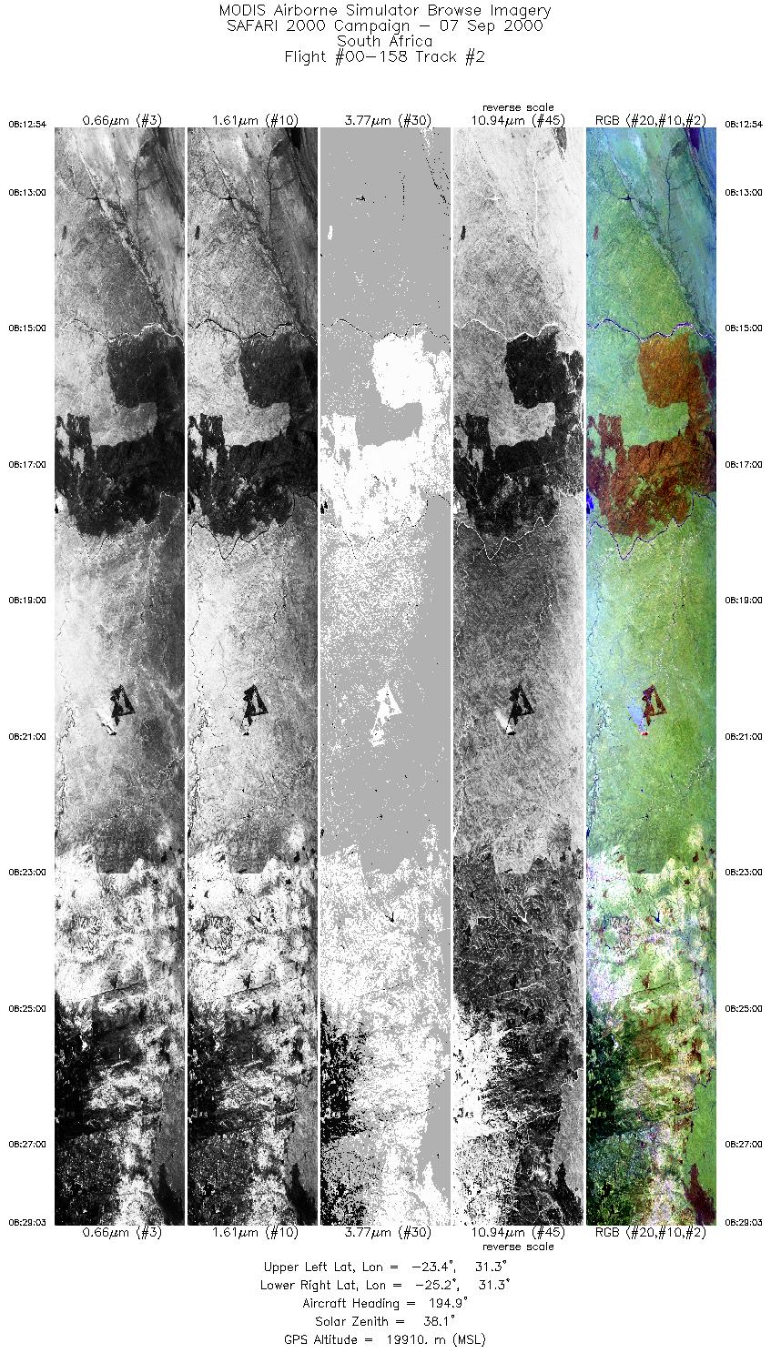
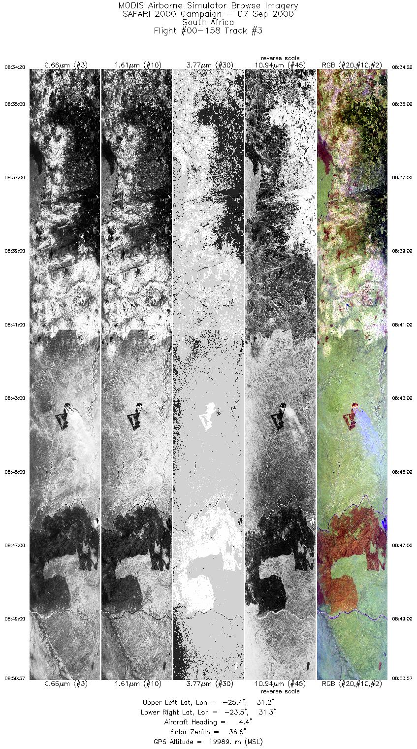
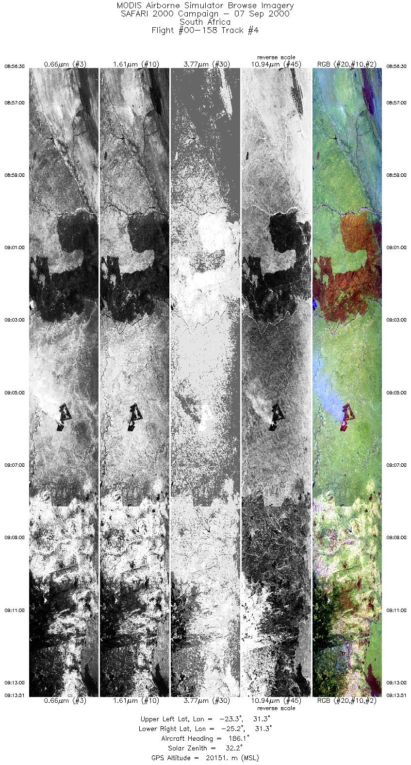
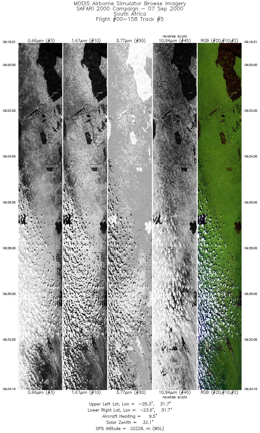
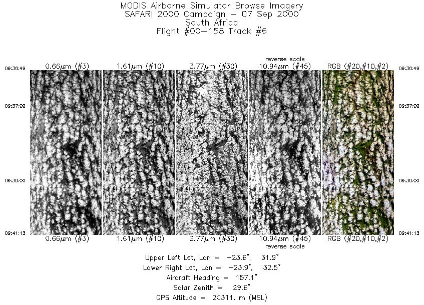
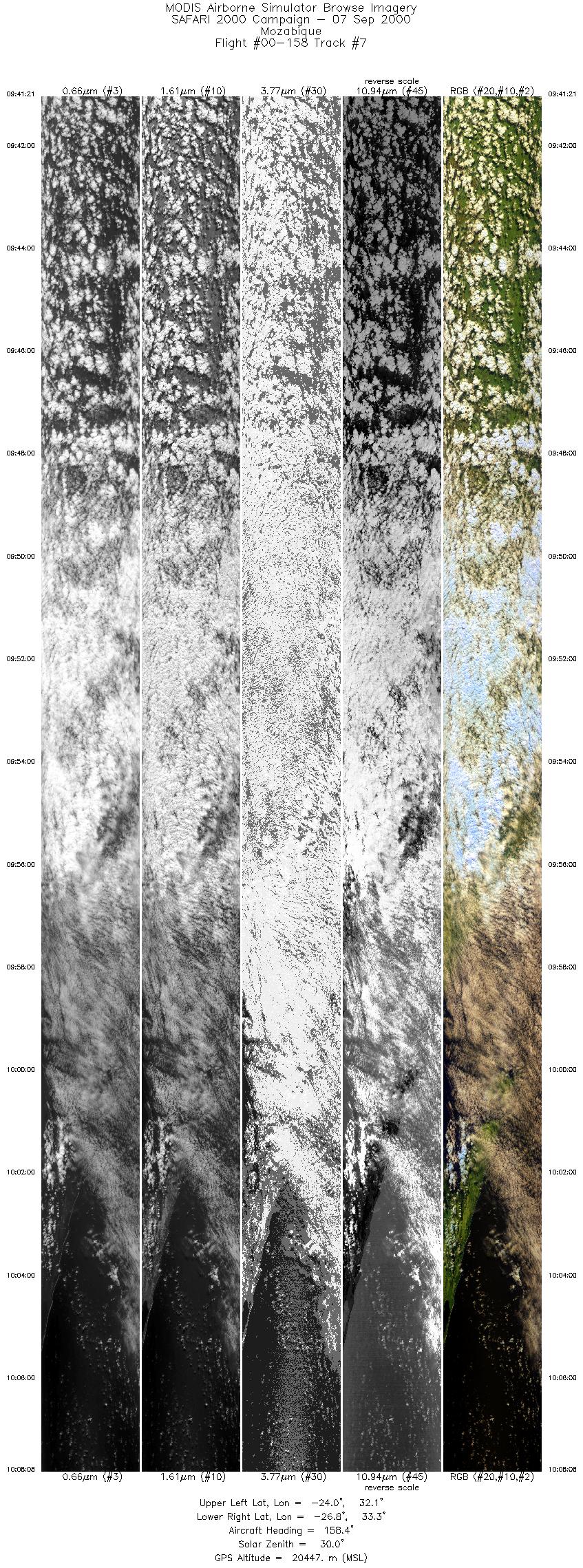
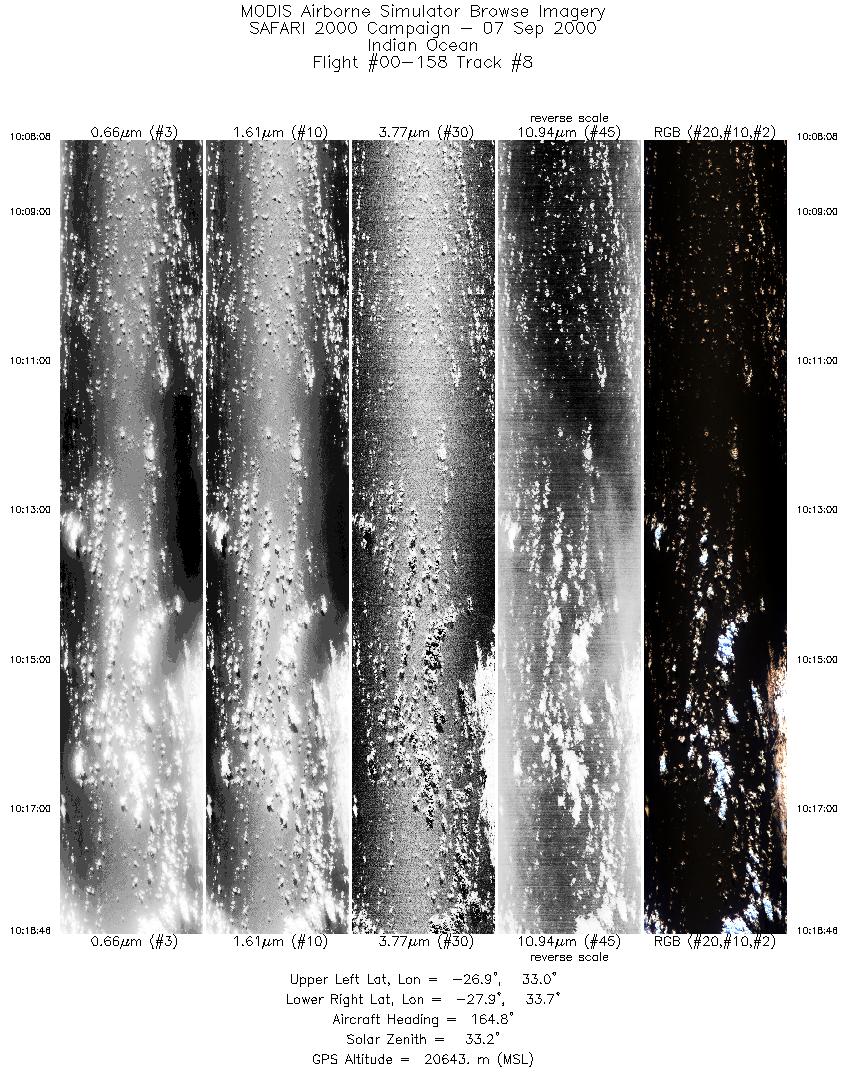
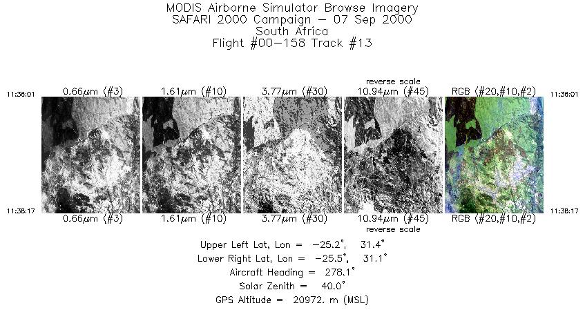
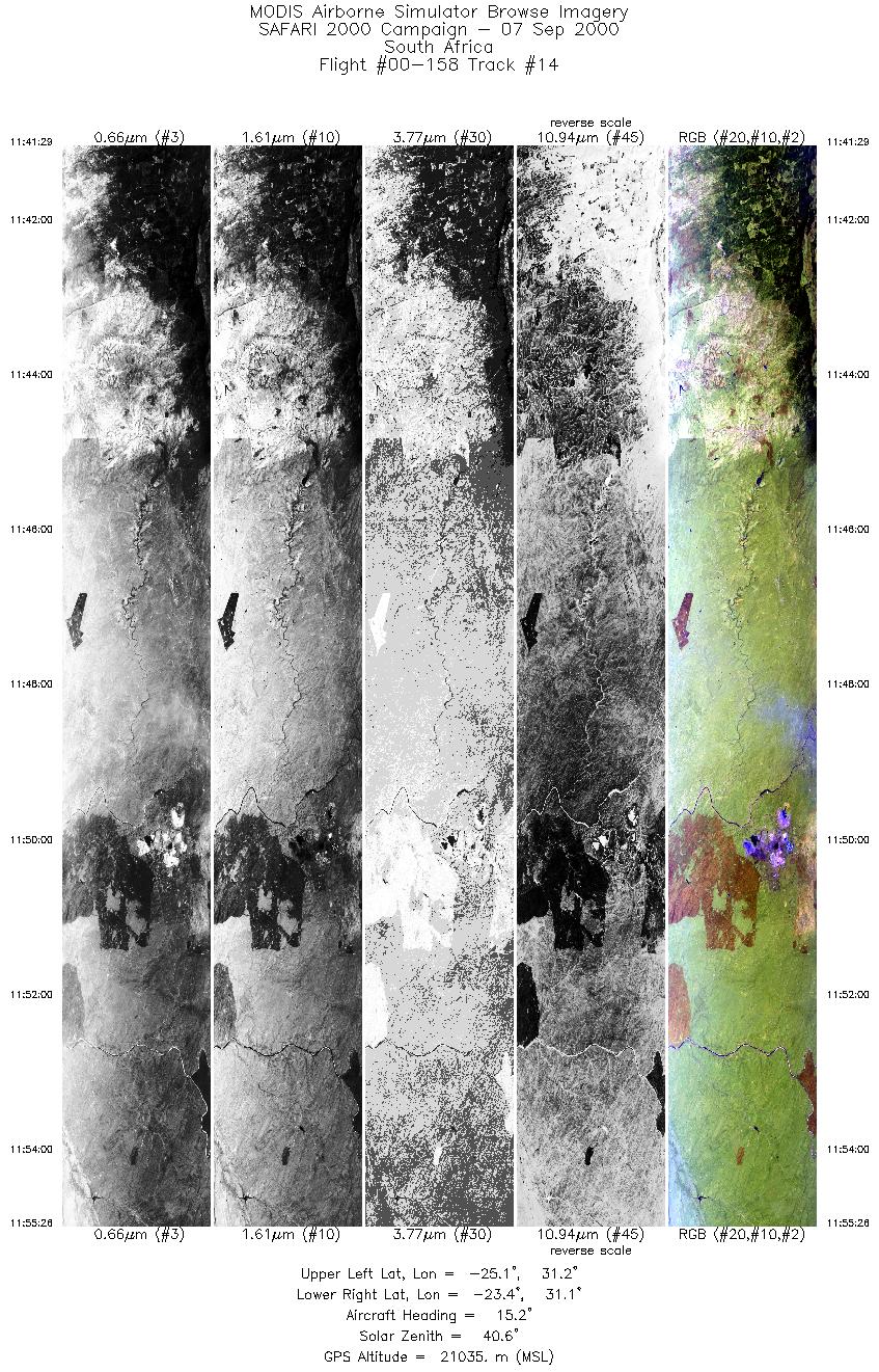
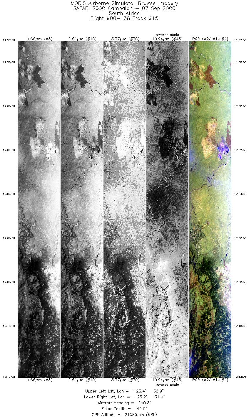
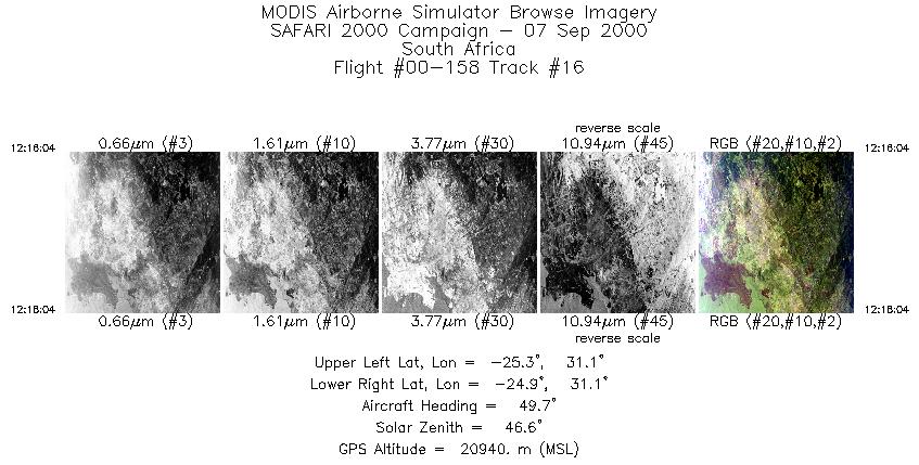
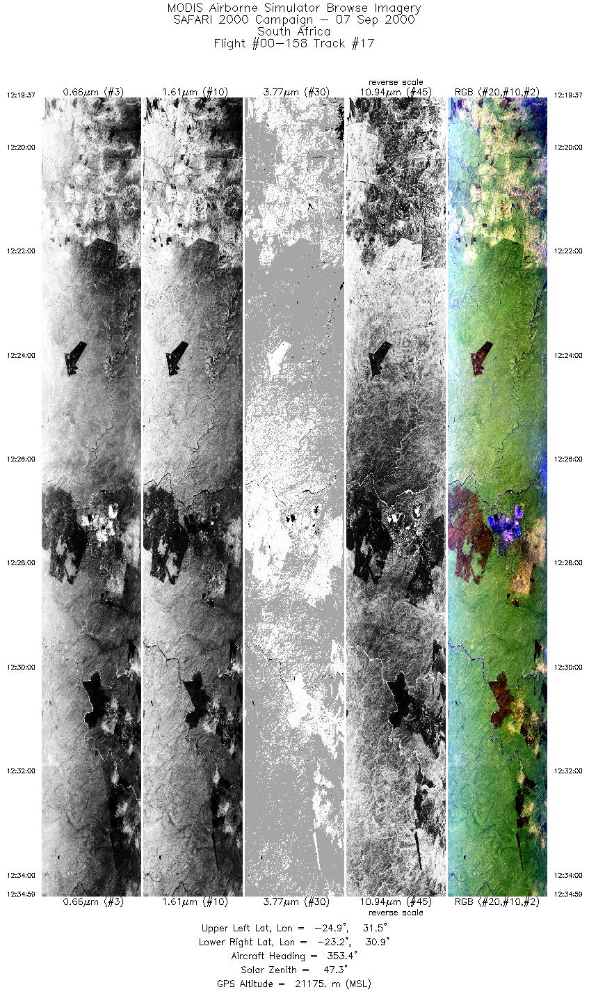
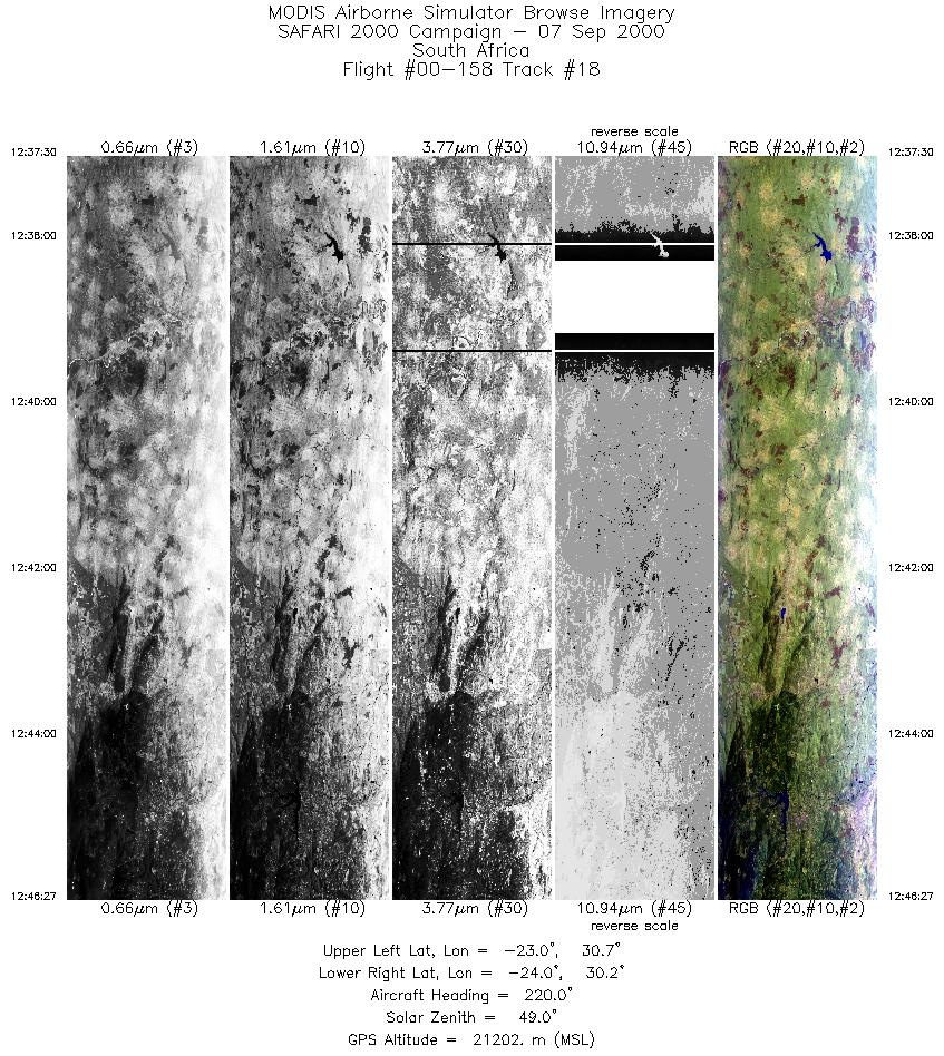
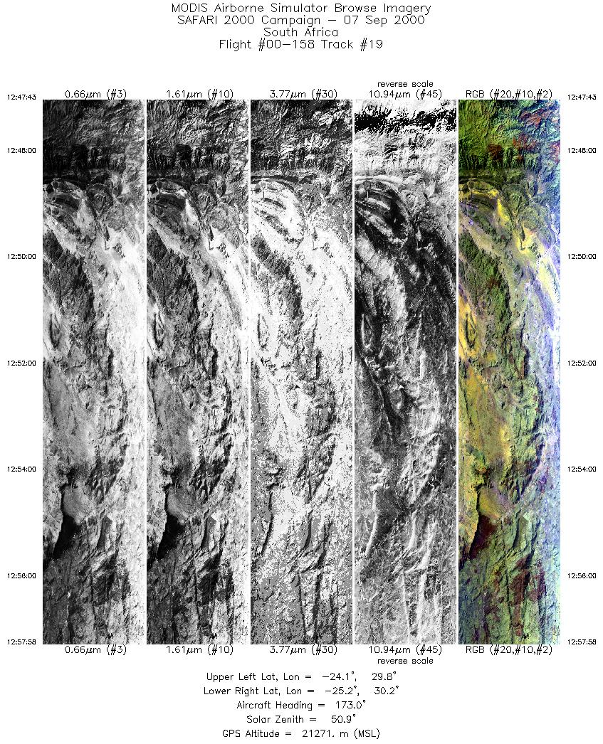
Flight Summary Report Author: Chris Moeller Mission Scientist: Chris Moeller ER-2 Pilot: Dave Wright Takeoff: 0730 (UTC) Landing: 1340 (UTC) Duration: 6:10 (h:mm) Objective and Summary: Three overpasses of the Timbavati controlled burn (~24° 21´ 56", 31° 15´ 40") on a 15 minute line parallel with the Terra overpass (overpass at 0828 UTC on 1st leg), then over fly Skukuza airfield to the east on a line parallel to the Timbavati fire line but offset by about 20nm to the east; then vector to TOMS orbital track on 30 minute line centered on about Inhaca Island (overpass at 0919 UTC) but about 50 minutes after overpass time. Then turn northward for a run parallel to Terra for MODIS off nadir L1B radiance comparisons. Then return to burn region to make cross sections of aging smoke plume (3 passes) and finish with line over Phalaborwa industrial site and N-S run crossing the Oliphants river valley. Key Flight Legs:Timbavati fire burning intensely (ignition about 0813 UTC) on each overpass with smoke plume advecting to NNW (surface wind from south; 5000´ wind from west). CV-580 monitoring smoke plume underneath. The skies were very clear with very good visibility (low aerosol concentration). Clear skies on Skukuza over flight as well. TOMS line mostly cloudy (alto cu) down to about Inhaca Island with sct to clr conditions southward from there. Terra line over water from south to north sequenced from sct to bkn to ovc sky conditions until reaching Mozambique coast. Smoke plume from Timbavati fire was evident to pilot on return and was cross sectioned (clean-plume-clean) twice (~1145 and 1205 UTC) by the ER-2. Phalaborwa and Oliphants River valley also clear. RC-10 on fire lines, one smoke line and Phalaborwa line; AirMISR on fire lines, Skukuza line, 2nd smoke line, and Phalaborwa line. Highlights:ER-2/CV-580 over large fire. Smoke plumes. Terra (off nadir) and TOMS under flight (partly cloudy and clear) AERONET sites and features overflown during this mission:
N/A Meteorology:The south Atlantic high is ridging across the southern parts of the sub-continent and is beginning to bulge out on the east coast, causing an onshore flow there, aided by a coastal low in the Maputo area. An offshore berg wind situation is developing along the Cape west coast and the southern Namibian coast, south of a coastal low on the central Namibian coast. The upper flow has become zonal, with a weak jet to the north and a stronger more pronounced one south of the country. Upper troughs are well to the east and the west of the continent. Today's weather is generally fine, except patches of low cloud along the northern Kwazulu Natal coast and the southern Mozambique coast. Foggy areas and low stratus was also in evidence over the northern Namibian coast to the north of the coastal low. ER-2 Science Instrument Payload Status
|
|||||||||||||||||||||||||||||||||||||||||||||||||||||||||||||||||||||||||||||||||||||||||||||||||||||||||||||||||||||||||||||||||||||||||||||||||||||||||||||||||

Flight 00-158


| Sample Imagery |
| Click image for full resolution |
|
Track #4 South Africa |


|
|
R: 2.15µm G: 0.91µm B: 0.55µm |
| Sample Imagery |
| Click image for full resolution |
|
Track #19 South Africa |

|
|
R: 2.15µm G: 0.91µm B: 0.55µm |
- NASA Official: Matt Fladeland
- Project Manager: James Jacobson
- Website Editor: Eric Fraim
- Last Updated: November 16, 2021


