


MODIS Airborne Simulator (MAS)
FLIGHT SUMMARY INFORMATION


|
Flight: 00-157 Date: 6 September 2000 Location: Botswana and Zambia Deployment: SAFARI Principal Investigator: Dr. Michael King (NASA GSFC) Flight Scientist: Dr. Chris Moeller (UW CIMSS) Additional Sensors: AirMISR, CLS, LAS, MOPITT-A, S-HIS, & SSFR Objective: To understand the key linkages between the physical, chemical and biological processes, including human activities, that comprise the southern African biogeophysical system. |
||||||||||||||||||||||||||||||||||||||||||||||||||||||||||||||||||||||||||||||||||||||||||||||||||||||||||||||||||||||||||||||||||||||||||||||||||||||||||
|
Data Evaluation Overall quality is good |
||||||||||||||||||||||||||||||||||||||||||||||||||||||||||||||||||||||||||||||||||||||||||||||||||||||||||||||||||||||||||||||||||||||||||||||||||||||||||
|
Processing Information Level-1B Data in HDF format is available Flight Line Summary Spectral Band Configuration Spectral Response Function Table |
||||||||||||||||||||||||||||||||||||||||||||||||||||||||||||||||||||||||||||||||||||||||||||||||||||||||||||||||||||||||||||||||||||||||||||||||||||||||||
|
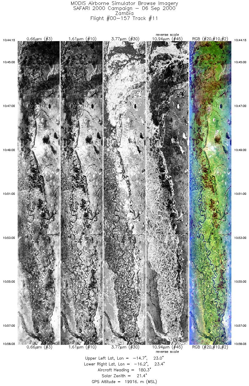
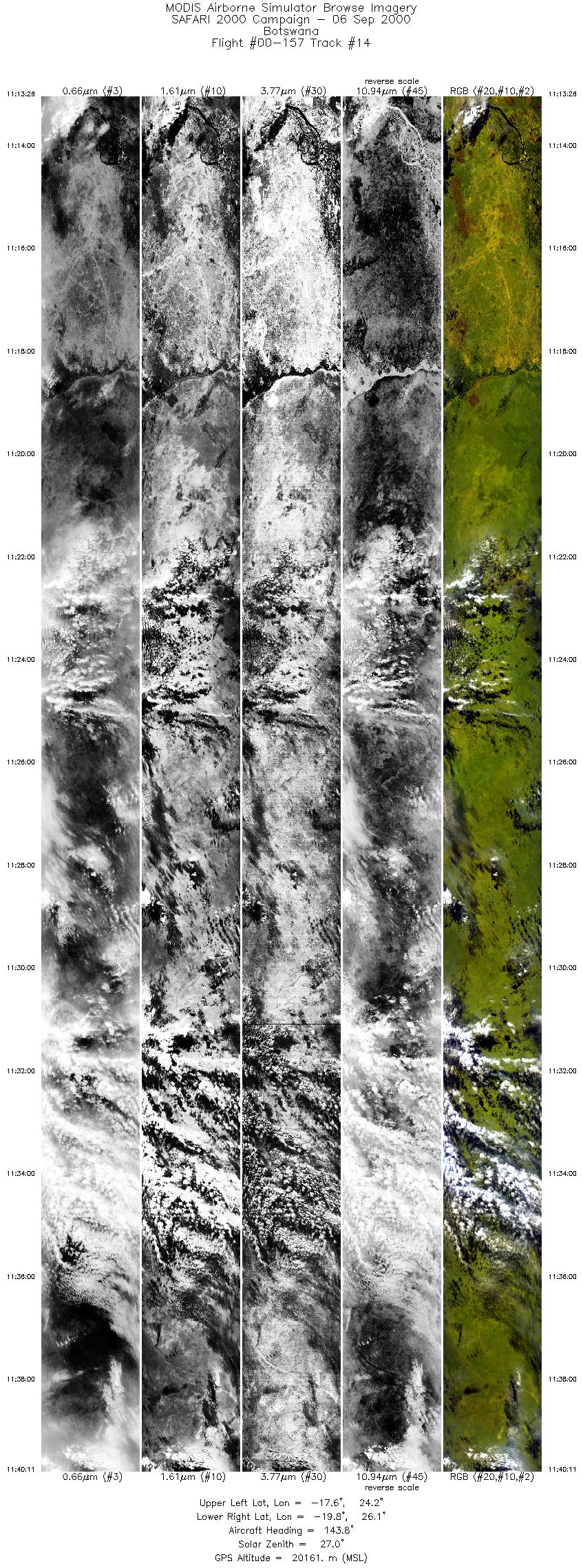
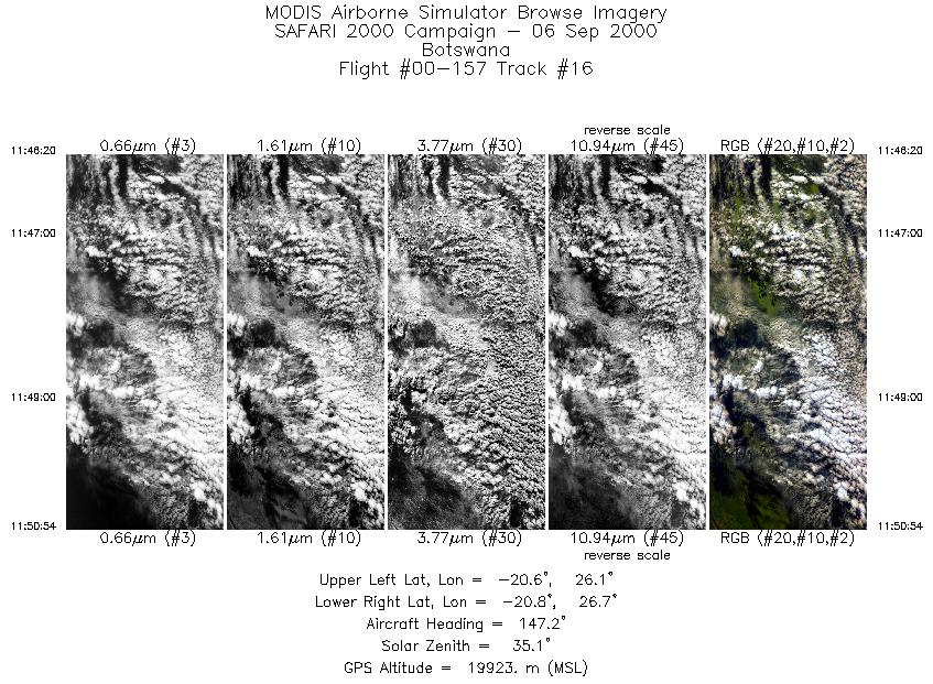
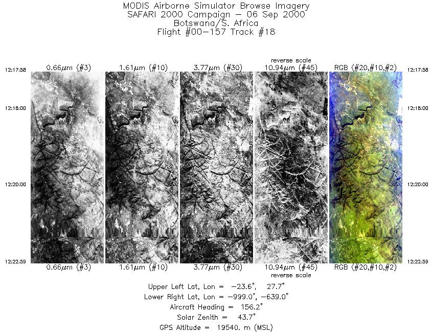
Browse Imagery Flight Tracks: 18 Scanlines: 106111 |
||||||||||||||||||||||||||||||||||||||||||||||||||||||||||||||||||||||||||||||||||||||||||||||||||||||||||||||||||||||||||||||||||||||||||||||||||||||||||
|
||||||||||||||||||||||||||||||||||||||||||||||||||||||||||||||||||||||||||||||||||||||||||||||||||||||||||||||||||||||||||||||||||||||||||||||||||||||||||
|
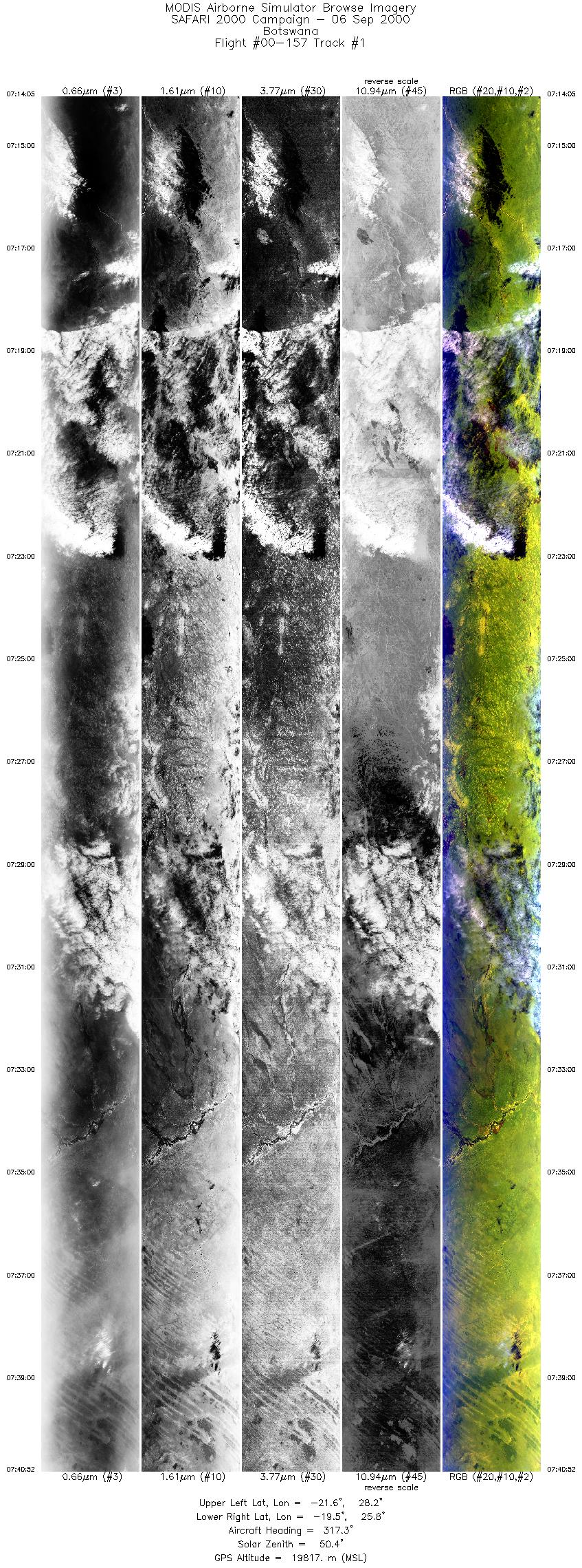
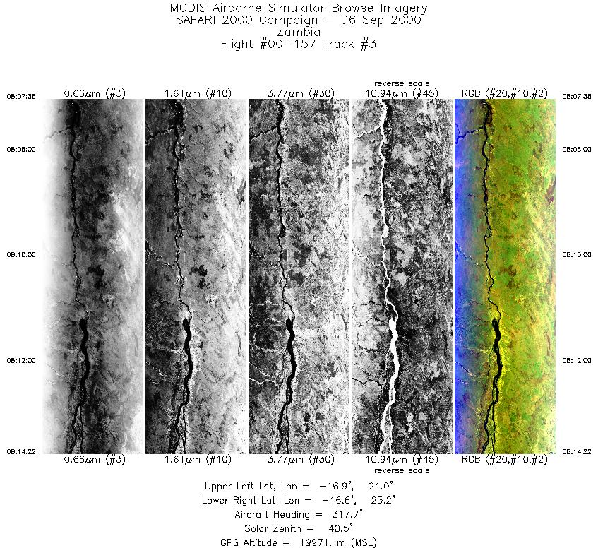
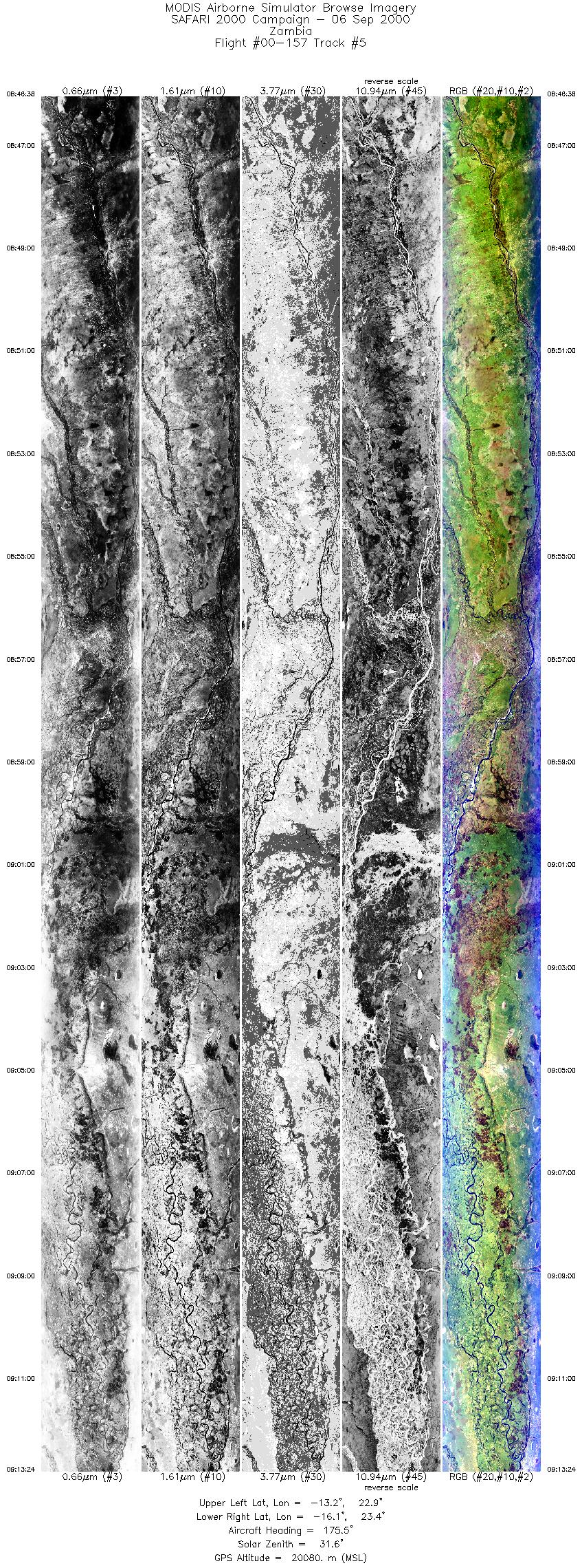
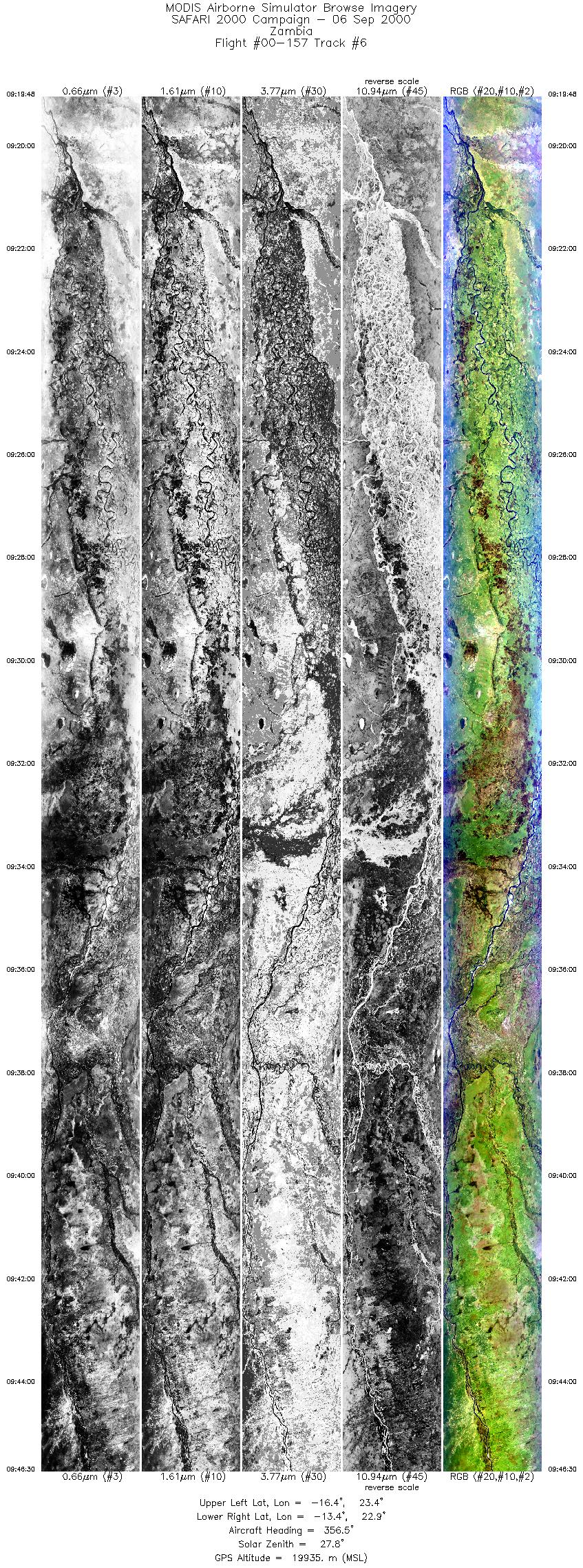
Flight Summary Report Author: Chris Moeller Mission Scientist: Chris Moeller ER-2 Pilot: Jan Nystrom Takeoff: 0640 (UTC) Landing: 1255 (UTC) Duration: 6:15 (h:mm) Objective and Summary:
ER-2 overpass of Mongu tower (~0823 UTC) and Mongu airfield (~0905 and ~0930 UTC) in clear sky with much smoke/haze noted by pilot. AirMISR successfully operated on tower and 1st airfield overpass. The ER-2 then flew to burn scars and a small controlled fire launch near Kaoma for two overpasses centered on about 14° 55´ S, 24° 45´ E. Mission then returned to Mongu airfield line for a final overpass of MPL and on to Senanga site. ER-2 then proceeded on a flyby of Matimba power station near Ellisras (~1220 UTC). Highlights:Coordinated ER-2/CV580 BRDF and profiling over ground based instruments in Mongu region. After the mission, learned that Mongu MPL not operative due to power outage. AERONET sites and features overflown during this mission:
Skies clear throughout the Zambian sites with much smoke/haze noted. Meteorology:A cold front has crossed the Cape, causing cloudy rainy weather over the southwestern parts of South Africa. To the north of the front, the south atlantic high is ridging across the western interior. The indian ocean high has moved off to the east and the influx of cool moist air into the northeastern areas has collapsed. Aloft, the flow has become more zonal over southern Africa with a trough and upper jet to the east. Weather will be generally fine, except for the southwestern areas where it will be cloudy at times with occasional rain. ER-2 Science Instrument Payload Status
|
||||||||||||||||||||||||||||||||||||||||||||||||||||||||||||||||||||||||||||||||||||||||||||||||||||||||||||||||||||||||||||||||||||||||||||||||||||||||||

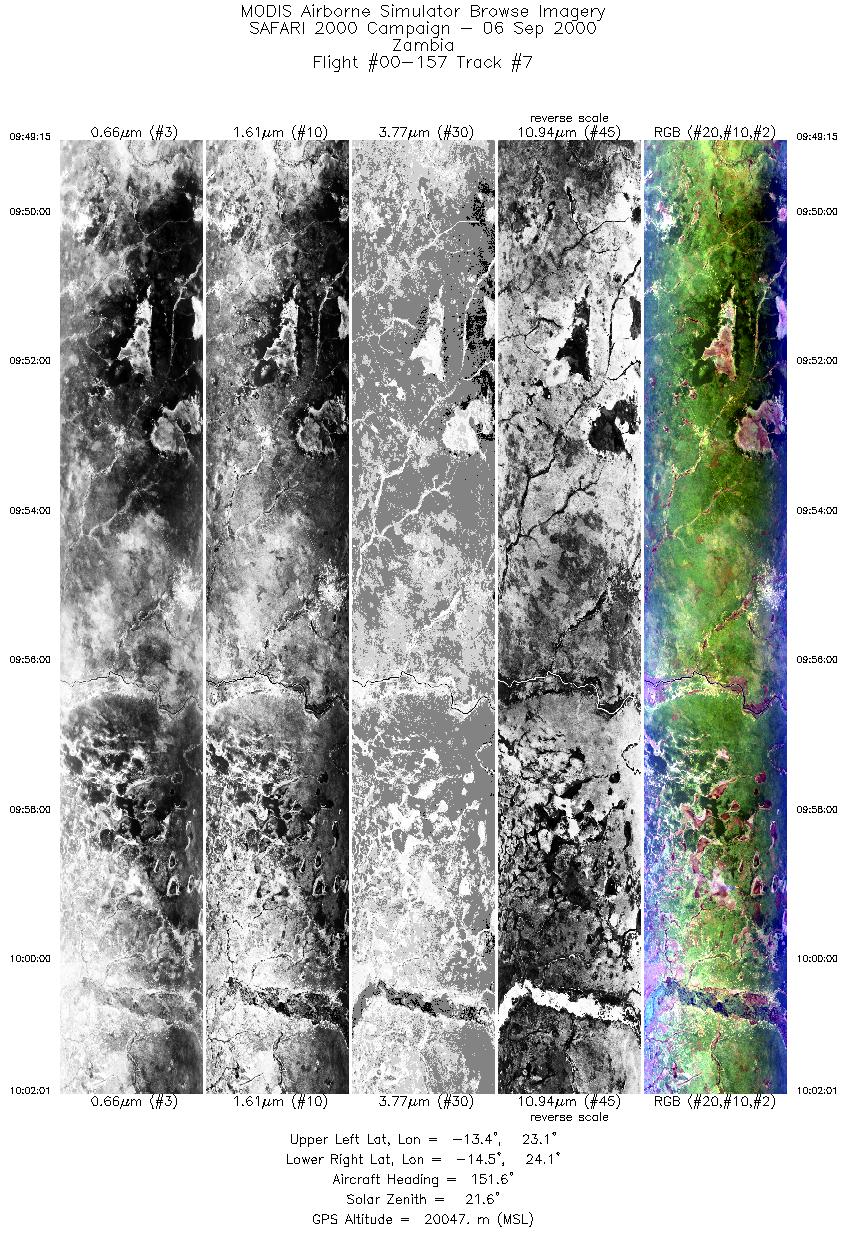
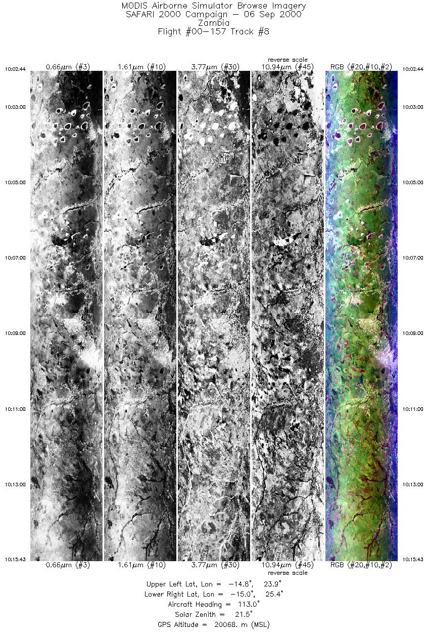
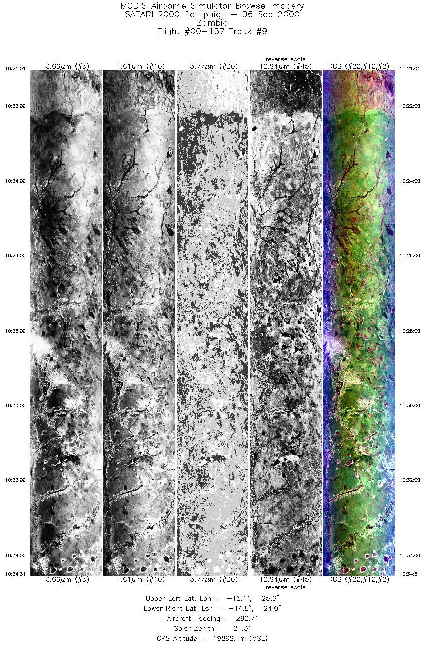
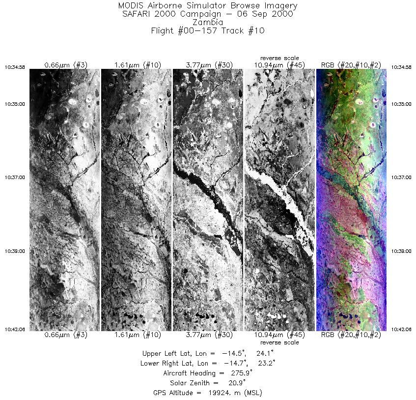
Flight 00-157


| Sample Imagery |
| Click image for full resolution |
|
Track #6 Zambia |


|
|
R: 2.15µm G: 0.91µm B: 0.55µm |
- NASA Official: Matt Fladeland
- Project Manager: James Jacobson
- Website Editor: Eric Fraim
- Last Updated: November 16, 2021


