


MODIS Airborne Simulator (MAS)
FLIGHT SUMMARY INFORMATION


|
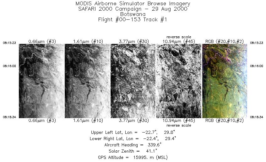
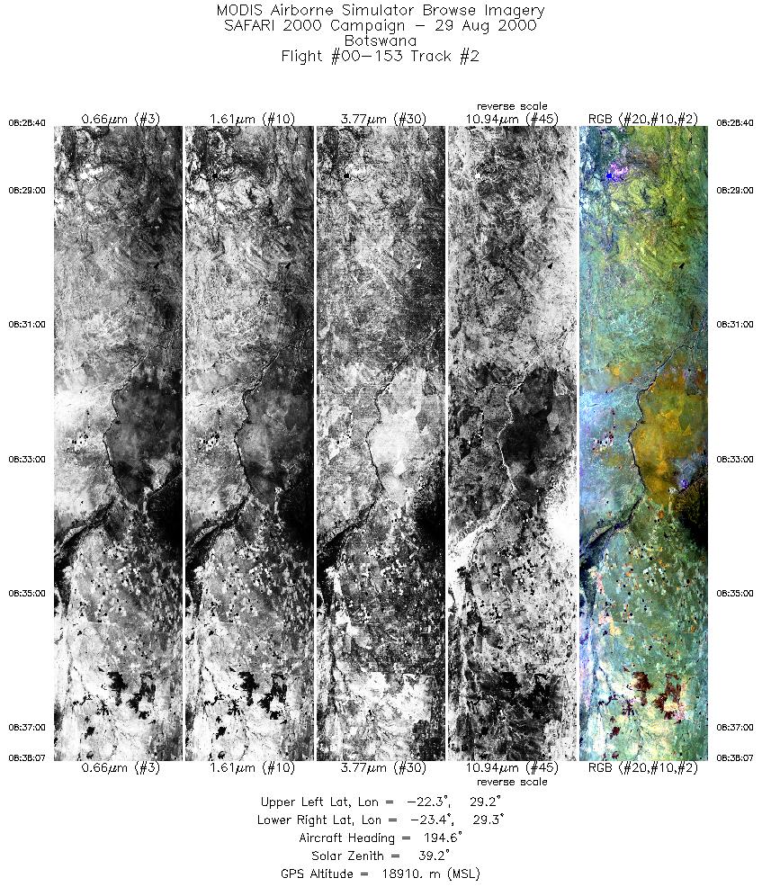
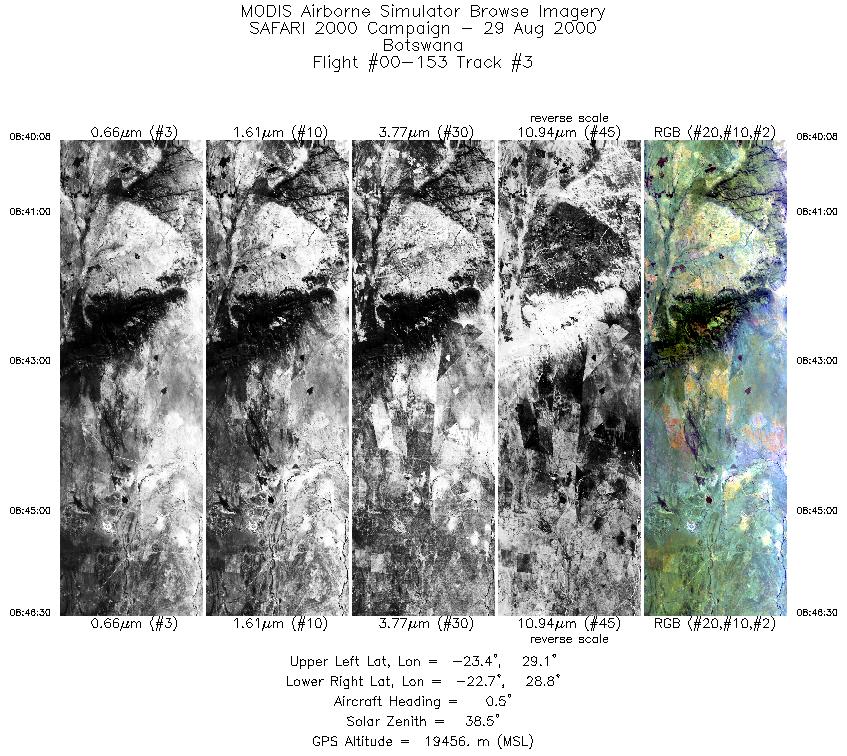
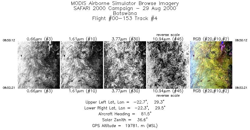
Flight: 00-153 Date: 29 August 2000 Location: South Africa, Mozambique, and Indian Ocean Deployment: SAFARI Principal Investigator: Dr. Michael King (NASA GSFC) Flight Scientist: Dr. Michael King (NASA GSFC) Additional Sensors: AirMISR, CLS, LAS, MOPITT-A, S-HIS, & SSFR Objective: To understand the key linkages between the physical, chemical and biological processes, including human activities, that comprise the southern African biogeophysical system. |
|||||||||||||||||||||||||||||||||||||||||||||||||||||||||||||||||||||||||||||||||||||||||||||||||||||||||||||||||||||||||||||||||||||||||||||||||||
|
Data Evaluation Overall quality is good |
|||||||||||||||||||||||||||||||||||||||||||||||||||||||||||||||||||||||||||||||||||||||||||||||||||||||||||||||||||||||||||||||||||||||||||||||||||
|
Processing Information Level-1B Data in HDF format is available Flight Line Summary Spectral Band Configuration Spectral Response Function Table |
|||||||||||||||||||||||||||||||||||||||||||||||||||||||||||||||||||||||||||||||||||||||||||||||||||||||||||||||||||||||||||||||||||||||||||||||||||
|
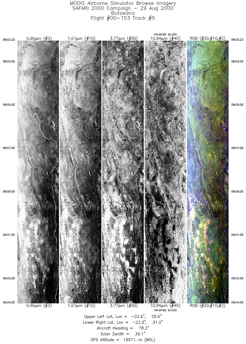
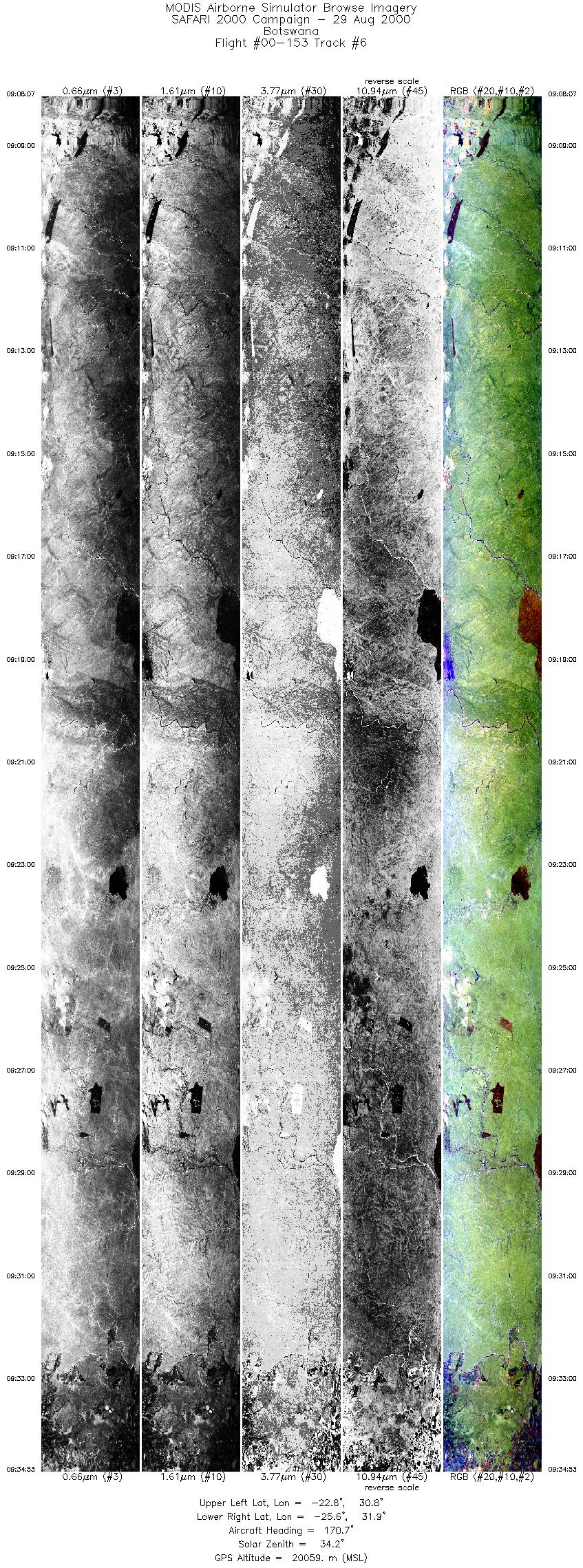
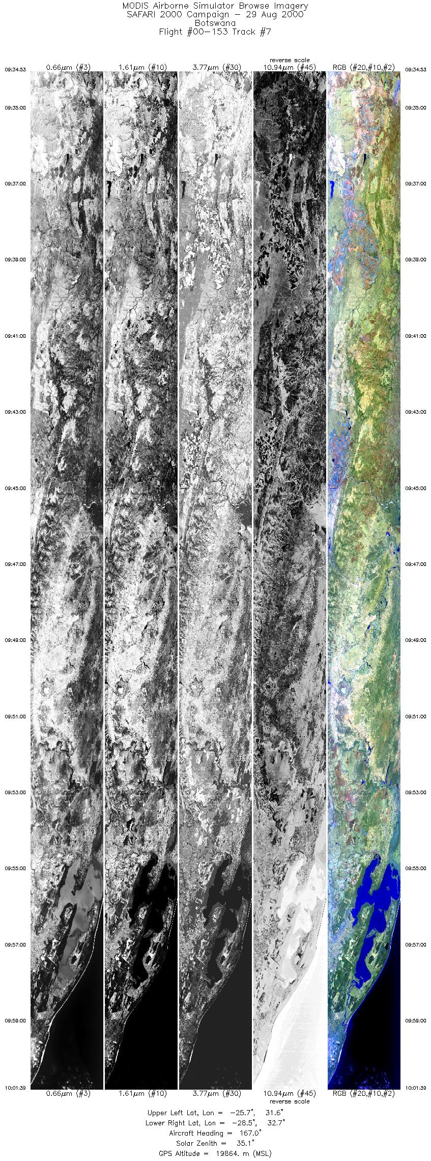
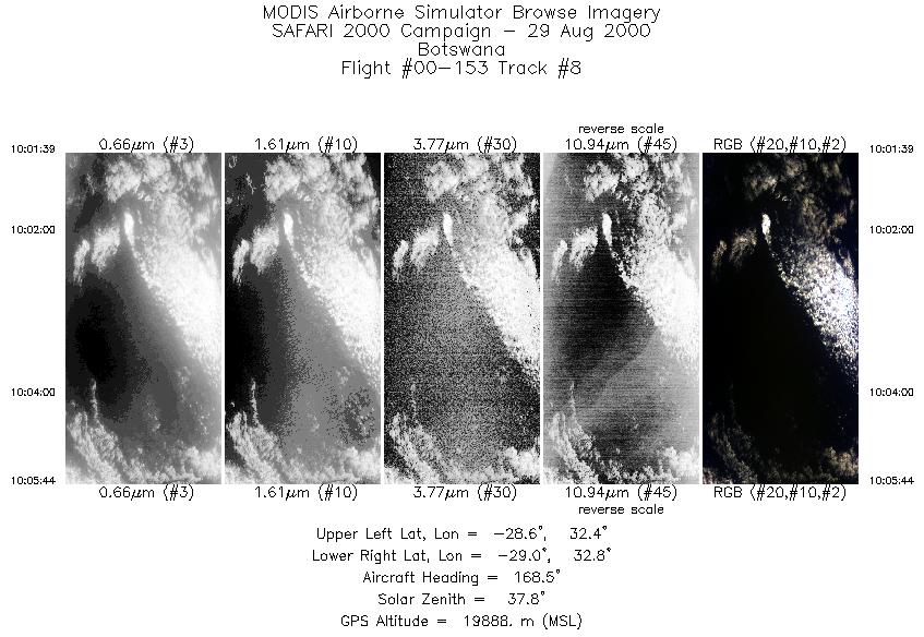
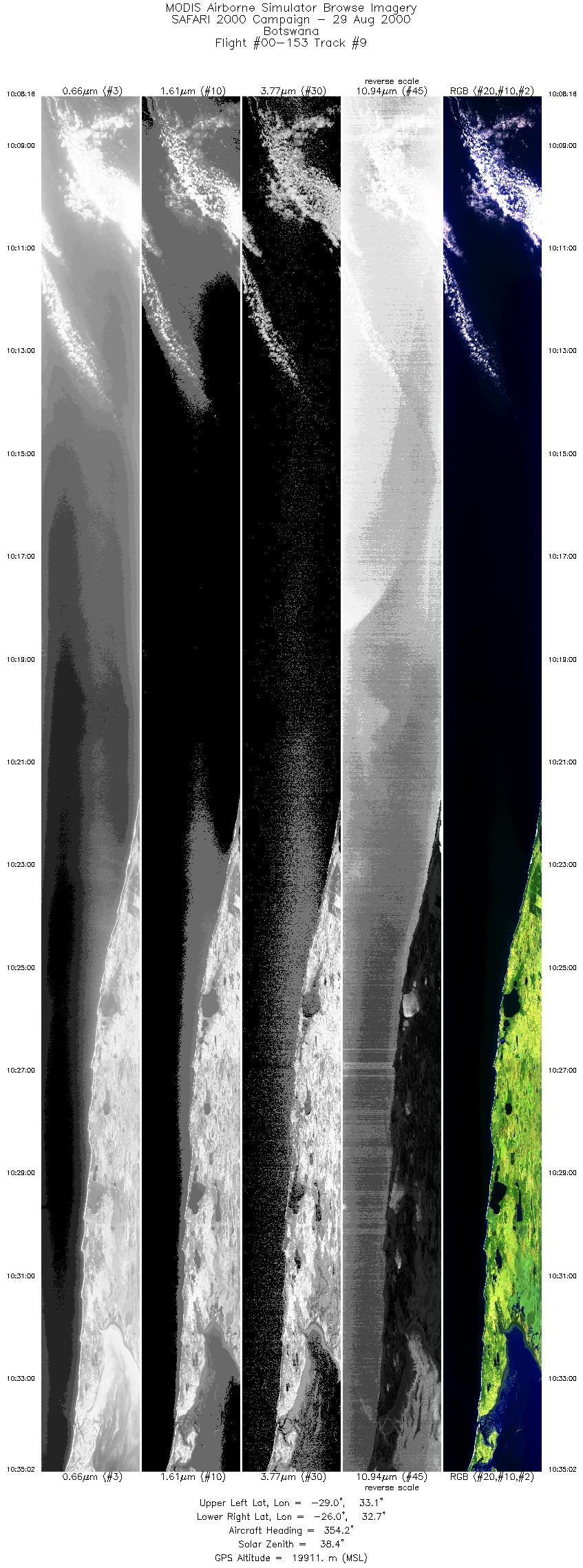
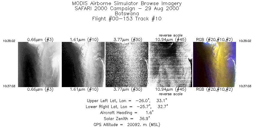
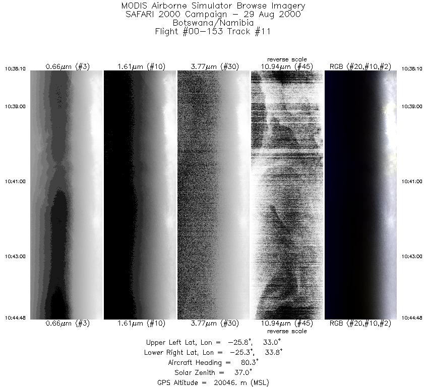
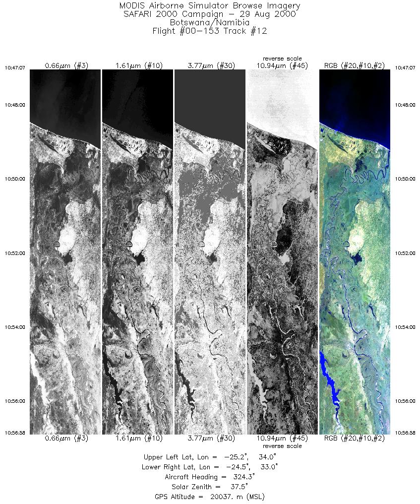
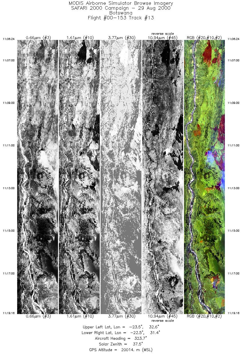
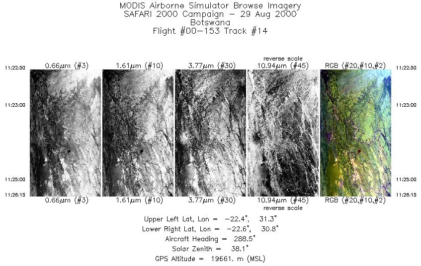
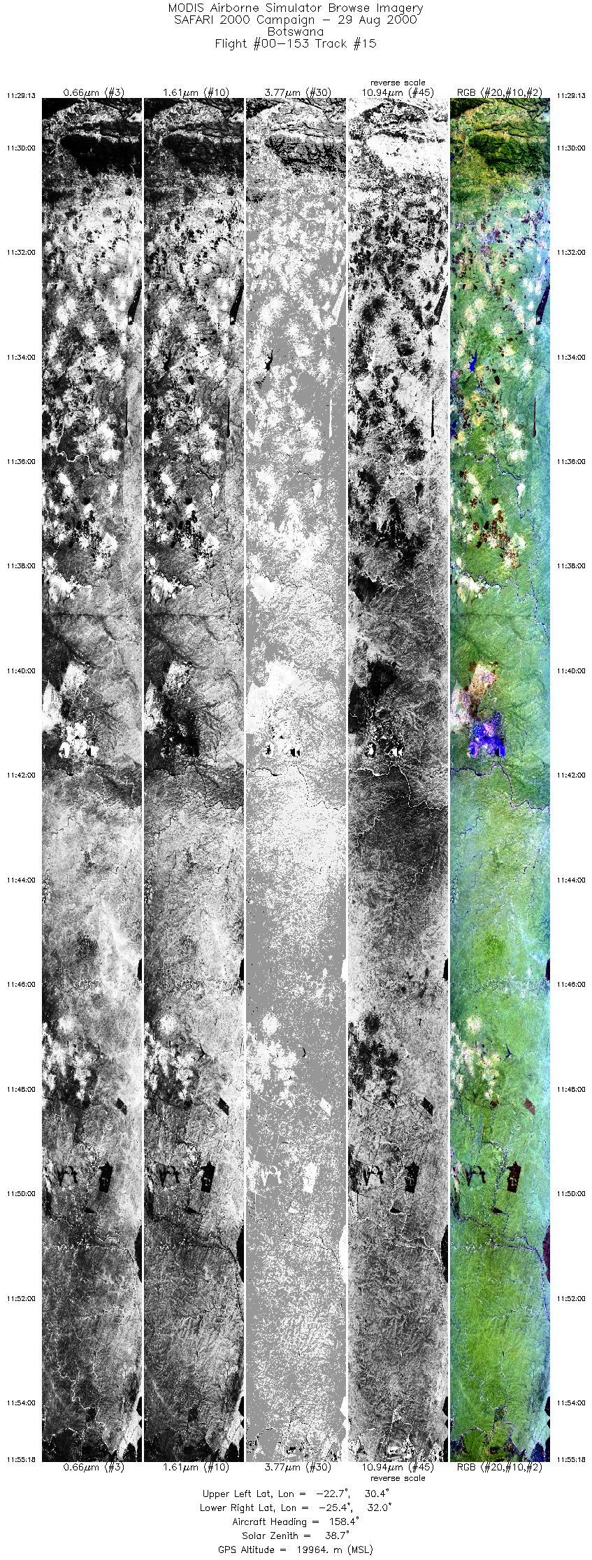
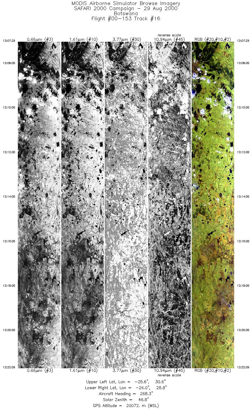
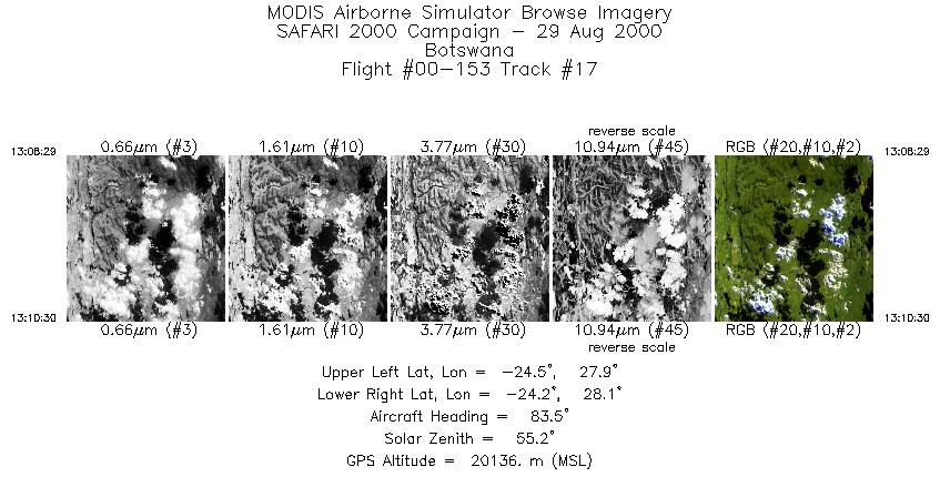
Browse Imagery Flight Tracks: 17 Scanlines: 72926 |
|||||||||||||||||||||||||||||||||||||||||||||||||||||||||||||||||||||||||||||||||||||||||||||||||||||||||||||||||||||||||||||||||||||||||||||||||||
|
|||||||||||||||||||||||||||||||||||||||||||||||||||||||||||||||||||||||||||||||||||||||||||||||||||||||||||||||||||||||||||||||||||||||||||||||||||
|
Flight Summary Report Author: Dr. Michael King Mission Scientist: Dr. Michael King ER-2 Pilot: Ken Broda Takeoff: 0800 (UTC) Landing: 1350 (UTC) Duration: 5:50 (h:mm) Objective and Summary:
N/A Highlights:N/A AERONET sites and features overflown during this mission:
Light haze reported by pilot in predominantly clear conditions, although some cloud scenes. 20-30 fires observed in Mozambique, one large one. Some loss of MAS data (fail lights at 1203, 1226, 1233, 1311 UTC) during the mapping of the Mozambique sector. Meteorology:A cold front is trailing along the southern Cape coast. Continental high established over southeastern Botswana with dry air in circulation over the northern parts of South Africa, Zimbabwe, Botswana and southern Mozambique is keeping skies clear over these regions. Offshore flow over Natal with onshore over central Mozambique.. ER-2 Science Instrument Payload Status
|
|||||||||||||||||||||||||||||||||||||||||||||||||||||||||||||||||||||||||||||||||||||||||||||||||||||||||||||||||||||||||||||||||||||||||||||||||||

Flight 00-153


| Sample Imagery |
| Click image for full resolution |
|
Track #4 South Africa |


|
|
R: 11.01µm G: 2.15µm B: 0.46µm |
| Sample Imagery |
| Click image for full resolution |
|
Track #6 South Africa |

|
|
R: 11.01µm G: 2.15µm B: 0.46µm |
- NASA Official: Matt Fladeland
- Project Manager: James Jacobson
- Website Editor: Eric Fraim
- Last Updated: November 16, 2021


