


MODIS Airborne Simulator (MAS)
FLIGHT SUMMARY INFORMATION


|
Flight: 00-150 Date: 24 August 2000 Location: South Africa, Mozambique, and Malawi Deployment: SAFARI Principal Investigator: Dr. Michael King (NASA GSFC) Flight Scientist: Dr. Michael King (NASA GSFC) Additional Sensors: AirMISR, CLS, LAS, MOPITT-A, S-HIS, & SSFR Objective: To understand the key linkages between the physical, chemical and biological processes, including human activities, that comprise the southern African biogeophysical system. |
||||||||||||||||||||||||||||||||||||||||||||||||||||||||||||||||||||||||||||||||||||||||||||||||||
|
Data Evaluation Overall quality is good MAS had partial failures during this mission |
||||||||||||||||||||||||||||||||||||||||||||||||||||||||||||||||||||||||||||||||||||||||||||||||||
|
Processing Information Level-1B Data in HDF format is available Flight Line Summary Spectral Band Configuration Spectral Response Function Table |
||||||||||||||||||||||||||||||||||||||||||||||||||||||||||||||||||||||||||||||||||||||||||||||||||
|
Browse Imagery Flight Tracks: 10 Scanlines: 28897 |
||||||||||||||||||||||||||||||||||||||||||||||||||||||||||||||||||||||||||||||||||||||||||||||||||
|
||||||||||||||||||||||||||||||||||||||||||||||||||||||||||||||||||||||||||||||||||||||||||||||||||
|
Flight Summary Report Author: Dr. Michael King Mission Scientist: Dr. Michael King ER-2 Pilot: Ken Broda Takeoff: 0700 (UTC) Landing: 1355 (UTC) Duration: 6:55 (h:mm) Objective and Summary:
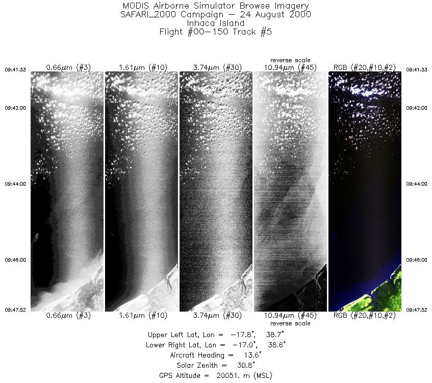
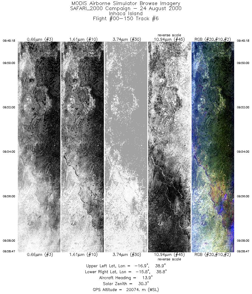
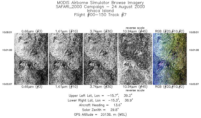
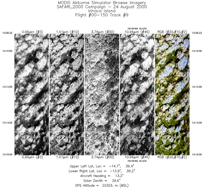
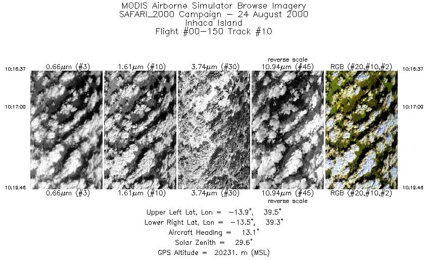
Terra passed over Inhaca Island at 0816 UTC, coincident with the ER-2 overpass of the island, with a satellite viewing zenith angle q = 0.80°. The mission was coordinated with the CV-580 and JRA over Inhaca Island at the time of the Terra overpass, with JRA measuring CCN at low levels and the CV-580 flying radiation runs at multiple levels over the island making solar spectral flux and aerosol optical thickness measurements. The ER-2 then flew over Maputo Bay and north through Mozambique, before turning westbound and flying a long flight line down the Terra orbital track through Malawi and towards Inhaca Island. During the final part of the flight, the ER-2 flew west over southern Mozambique and turned south along a geological feature in the northern part of Kruger National Park, before turning back to Pietersburg. The RC-10 camera was turned on for flights over Inhaca Island, northeastern Mozambique, Malawi, the Zambezi River, and northern Kruger National Park. Highlights:N/A AERONET sites and features overflown during this mission:
The skies were largely cloud free, with only small scattered cumulus humilus clouds, near Maputo and Inhaca Island. Further north, in northeastern Mozambique, the ER-2 overflew extensive clouds before heading inland. Over southern Malawi and central Mozambique, the ER-2 pilot observed extensive clouds topping smoke that appeared to be a result of the smoke plumes themselves. During the overpass of Kruger National Park, the skies were quite clear and the geological feature readily apparent. Meteorology:The circulation was dominated by a ridge of high pressure across the central parts of South Africa. A trough of low pressure developed along the west coast with another trough over the Mozambique channel. Aloft, an upper trough lay over the western interior. Early morning fog occurred over the northeastern areas of South Africa. A band of disturbed weather lay over the central interior where a few light showers were expected. ER-2 Science Instrument Payload Status
|
||||||||||||||||||||||||||||||||||||||||||||||||||||||||||||||||||||||||||||||||||||||||||||||||||

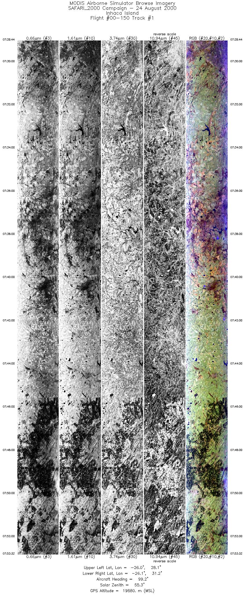
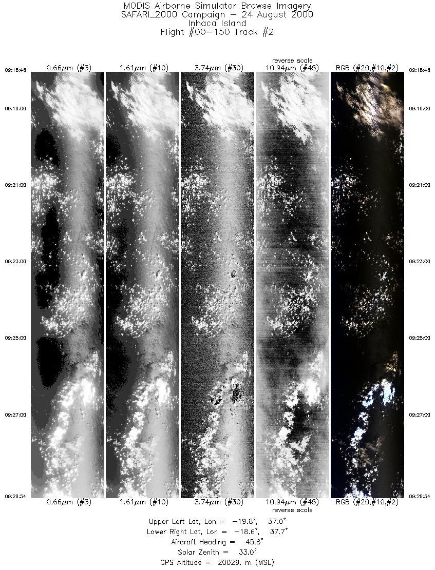
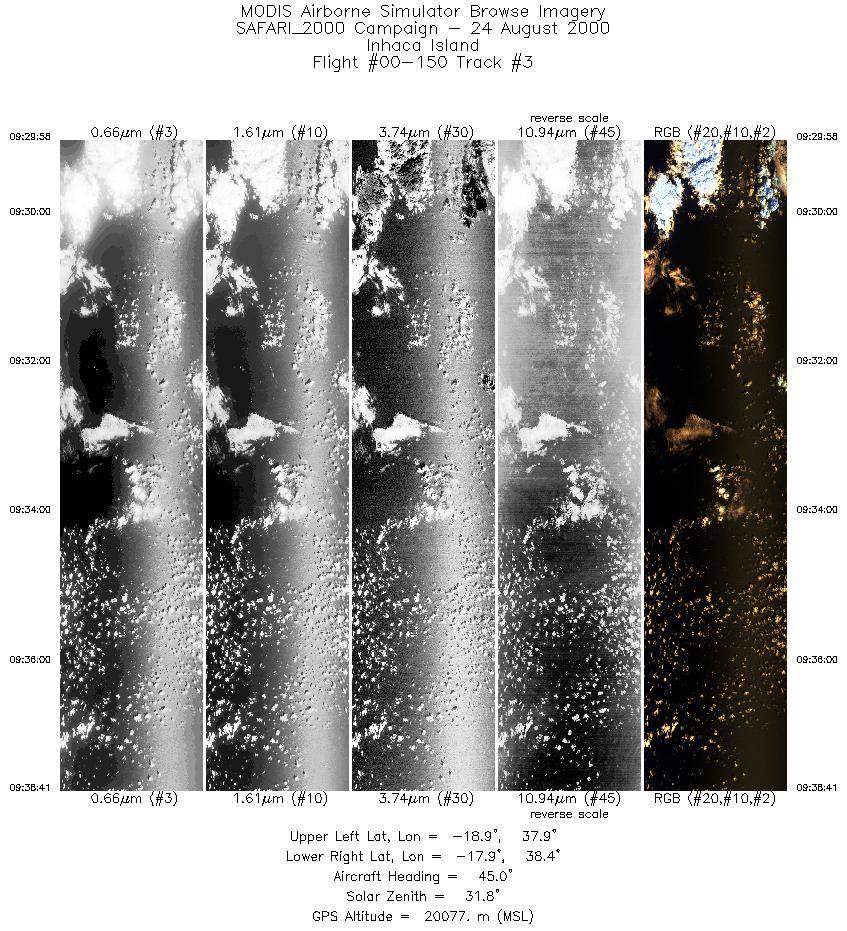
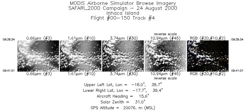
Flight 00-150


| Sample Imagery |
| Click image for full resolution |
|
Track #1 Inhaca Island |


|
|
R: 11.01µm G: 2.15µm B: 0.46µm |
- NASA Official: Matt Fladeland
- Project Manager: James Jacobson
- Website Editor: Eric Fraim
- Last Updated: November 16, 2021


