


MODIS Airborne Simulator (MAS)
FLIGHT SUMMARY INFORMATION


|
Flight: 00-149 Date: 22 August 2000 Location: South Africa and Mozambique Deployment: SAFARI Principal Investigator: Dr. Michael King (NASA GSFC) Flight Scientist: Dr. Michael King (NASA GSFC) Additional Sensors: AirMISR, CLS, LAS, MOPITT-A, S-HIS, & SSFR Objective: To understand the key linkages between the physical, chemical and biological processes, including human activities, that comprise the southern African biogeophysical system. |
|||||||||||||||||||||||||||||||||||||||||||||||||||||||||||||||||||||||||||||||||||||||||||||||||||||||||||||||||||||||
|
Data Evaluation Overall quality is good |
|||||||||||||||||||||||||||||||||||||||||||||||||||||||||||||||||||||||||||||||||||||||||||||||||||||||||||||||||||||||
|
Processing Information Level-1B Data in HDF format is available Flight Line Summary Spectral Band Configuration Spectral Response Function Table |
|||||||||||||||||||||||||||||||||||||||||||||||||||||||||||||||||||||||||||||||||||||||||||||||||||||||||||||||||||||||
|
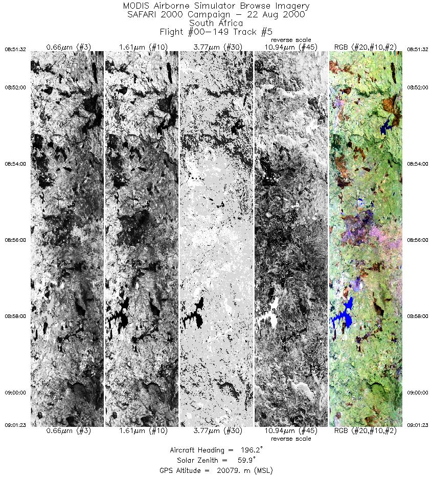
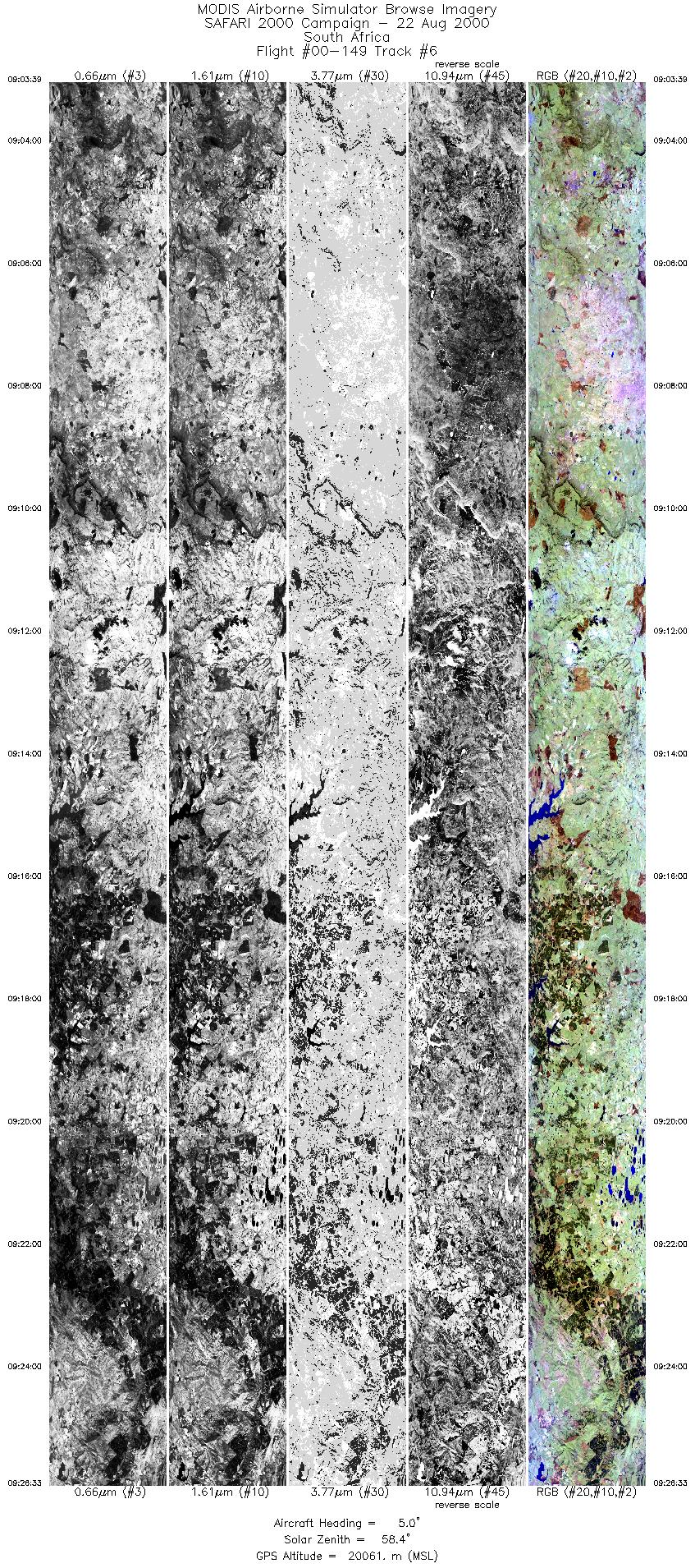
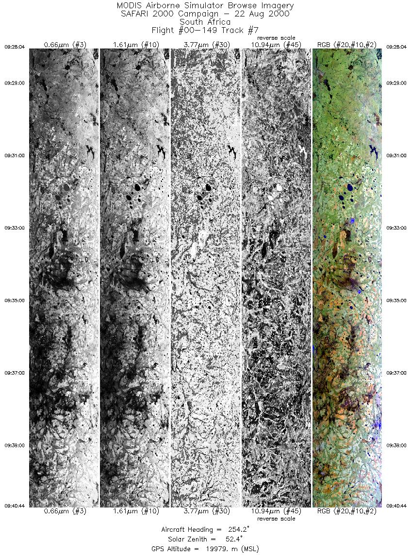
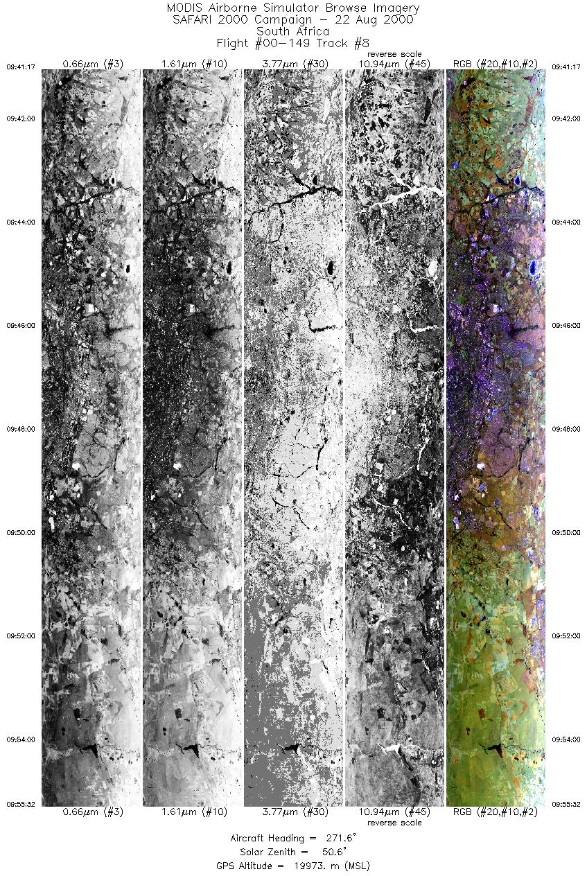
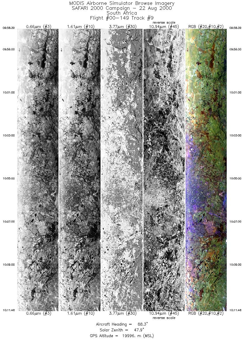
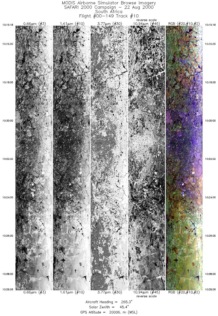
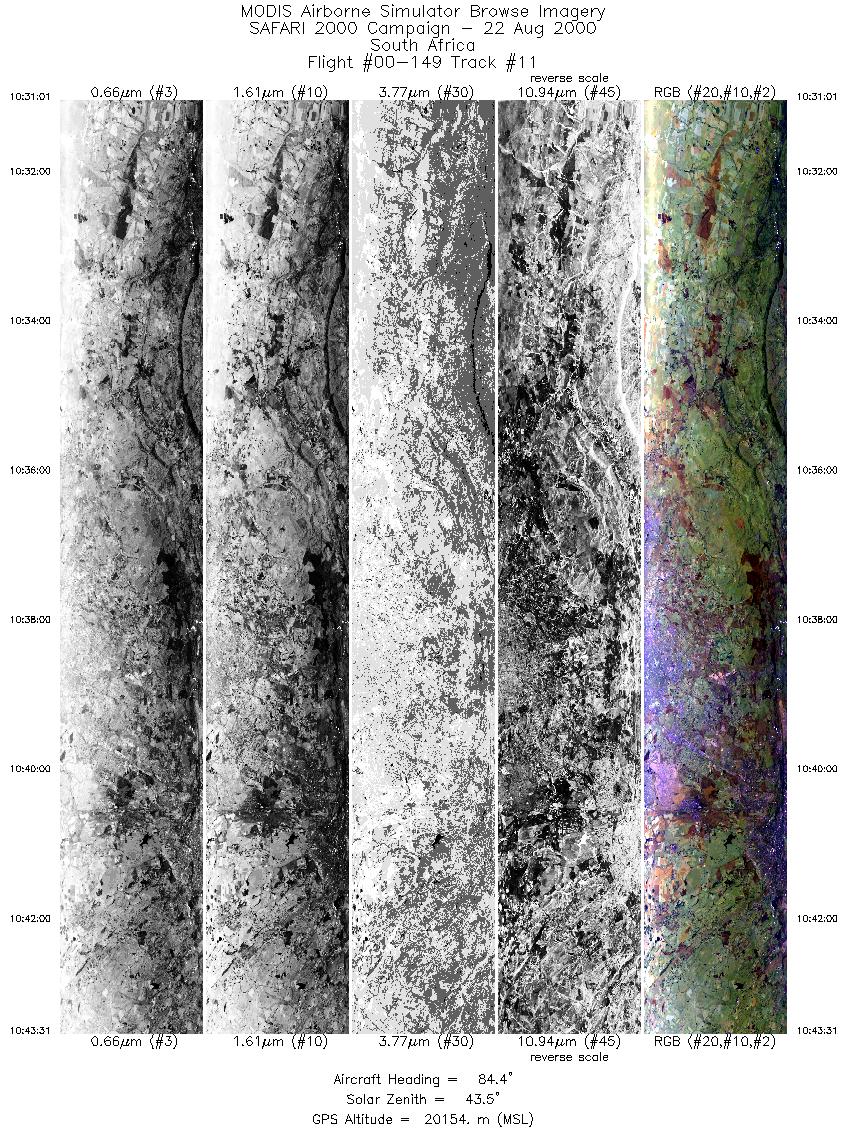
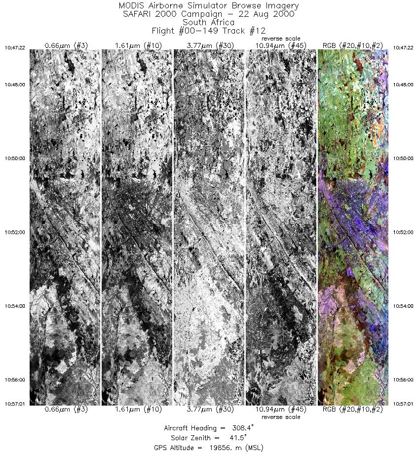
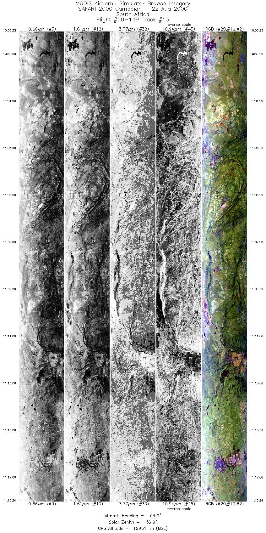
Browse Imagery Flight Tracks: 13 Scanlines: 69451 |
|||||||||||||||||||||||||||||||||||||||||||||||||||||||||||||||||||||||||||||||||||||||||||||||||||||||||||||||||||||||
|
|||||||||||||||||||||||||||||||||||||||||||||||||||||||||||||||||||||||||||||||||||||||||||||||||||||||||||||||||||||||
|
Flight Summary Report Author: Dr. Michael King Mission Scientist: Dr. Michael King ER-2 Pilot: Jim Barrilleaux Takeoff: 0725 (UTC) Landing: 1155 (UTC) Duration: 4:30 (h:mm) Objective and Summary:
After the TERRA overpass, the ER-2 cut across Swaziland and flew a southerly flight track over Durnacol coal mines in Kwazulu-Natal, before proceeding north and turning to overfly the Witbank coal-fired power plants of the highveld. Numerous passes of the ER-2 were made over Johannesburg so that detailed photos could be taken with the RC10 camera, followed by a single pass over Pretoria before heading back to Pietersburg. The mission was coordinated with the CV-580 over Skukuza at the time of the Terra overpass, with JRA over a prescribed burn in Satara, and later with JRB over Witbank and downtown Johannesburg. The RC-10 camera was turned on for flights over the Limpopo River, Kruger National Park, Durnacol, Witbank, Johannesburg, and Pretoria. Highlights:N/A AERONET sites and features overflown during this mission:
Skies were entirely devoid of cloud cover, but were exceedingly hazy north and east of Pietersburg, including the lowveld of Kruger National Park. The sky was somewhat polluted over Johannesburg, but considerably less hazy than over the lowveld to the east. Meteorology:A detached cell of high pressure lay over the Northern Province, whilst the complex low pressure system to the south continued to move away from the country in a southeasterly direction. Aloft, a weak ridge lay over the northern parts of South Africa between the old trough that has weakened and moved eastwards. Fine, and generally cloud free weather over the northern and northeastern parts of South Africa with partly cloudy regions over the central and southern areas. The Congo air boundary moved into the extreme northwestern regions of Zambia and some showers and isolated thunderstorms is expected in these parts. ER-2 Science Instrument Payload Status
|
|||||||||||||||||||||||||||||||||||||||||||||||||||||||||||||||||||||||||||||||||||||||||||||||||||||||||||||||||||||||

Flight 00-149


| Sample Imagery |
| Click image for full resolution |
|
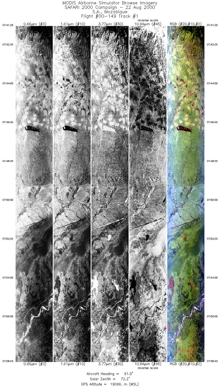
Track #1 South Africa & Mozambique |


|
|
R: 11.01µm G: 2.15µm B: 0.46µm |
| Sample Imagery |
| Click image for full resolution |
|
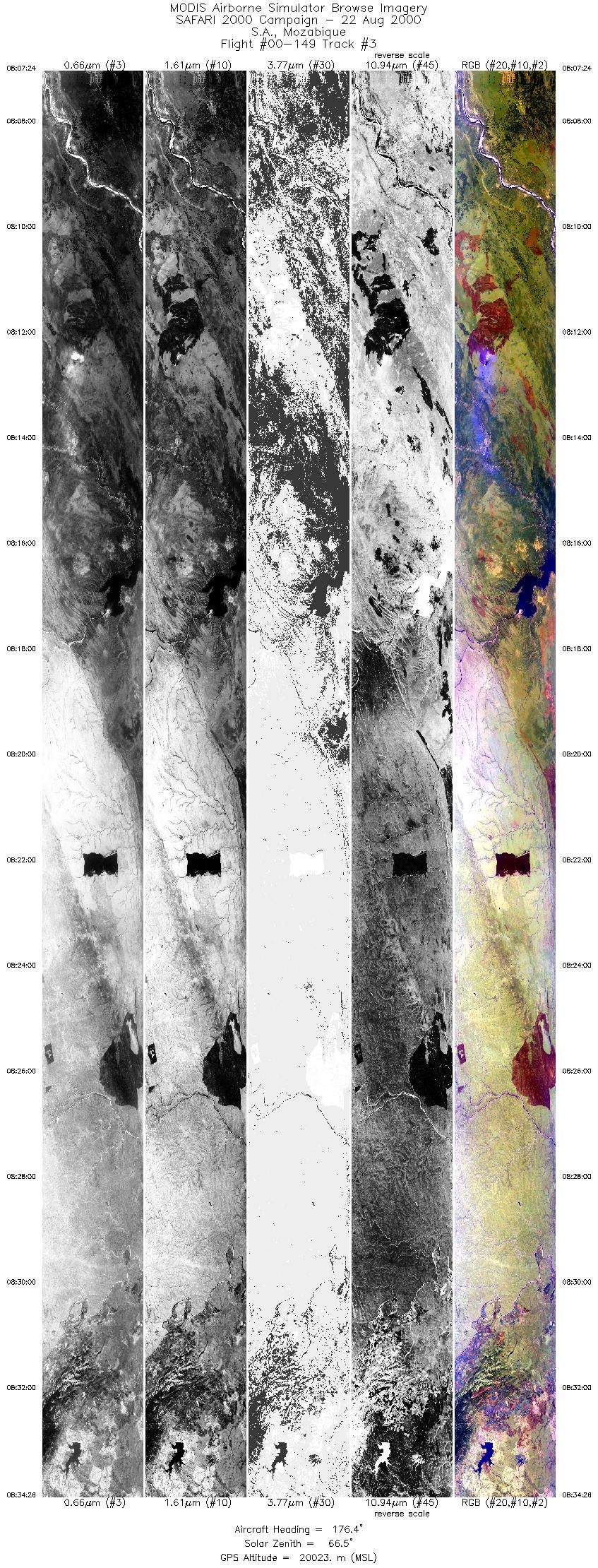
Track #3 South Africa & Mozambique |

|
|
R: 11.01µm G: 2.15µm B: 0.46µm |
- NASA Official: Matt Fladeland
- Project Manager: James Jacobson
- Website Editor: Eric Fraim
- Last Updated: November 16, 2021


