


MODIS Airborne Simulator (MAS)
FLIGHT SUMMARY INFORMATION
Flight Track Map


|
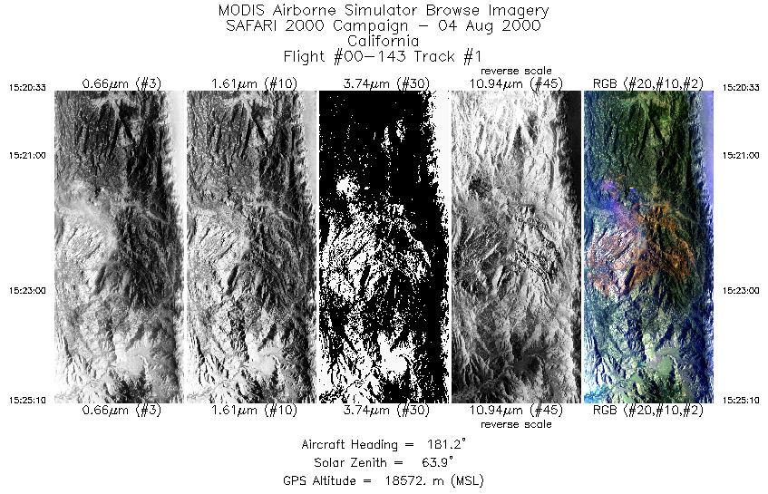
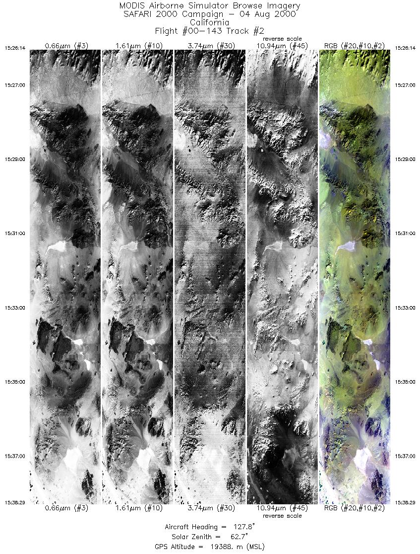
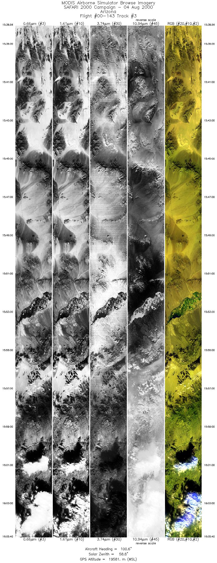
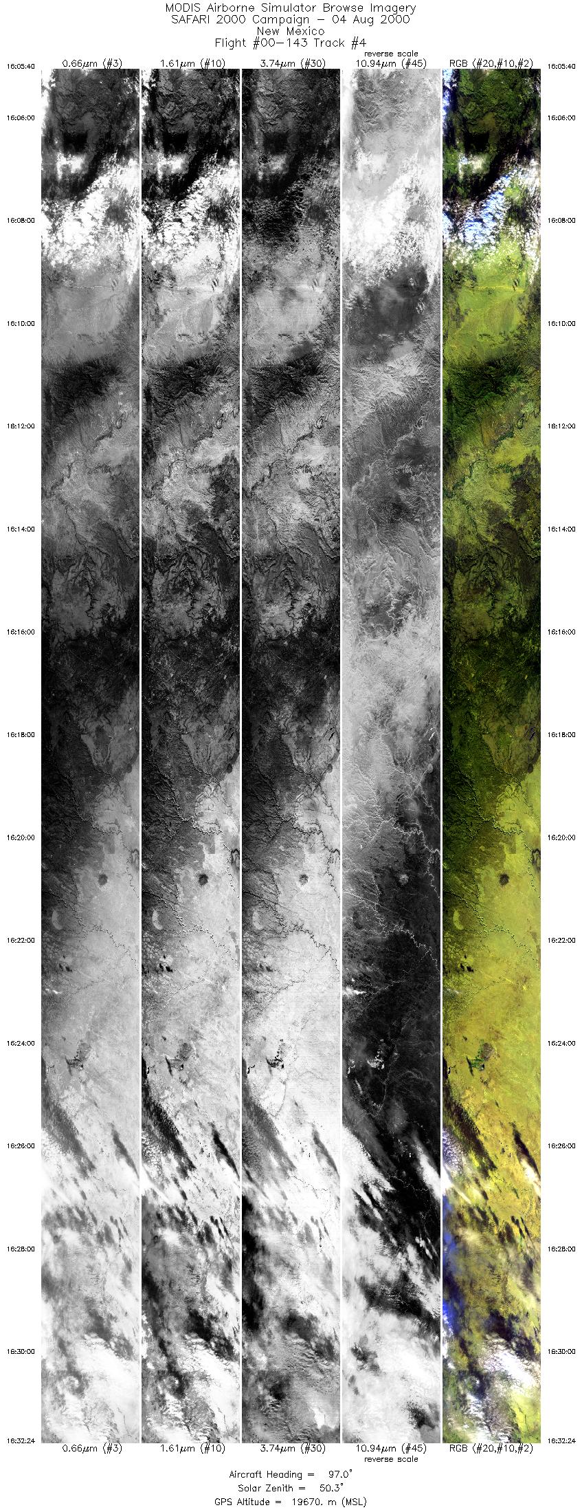
Flight: 00-143 Date: 6 August 2000 Location: California to Florida Deployment: SAFARI Principal Investigator: Dr. Michael King (NASA GSFC) Flight Scientist: Transit Additional Sensors: AirMISR, CLS, LAS, MOPITT-A, S-HIS, & SSFR Objective: To understand the key linkages between the physical, chemical and biological processes, including human activities, that comprise the southern African biogeophysical system. |
||||||||||||||||||||||||||||||||||||||||||||||||||||||||||||||||||||||||||||||||||||||||||||||||||||||||||||||||||||||||||||||
|
Data Evaluation Overall quality is good |
||||||||||||||||||||||||||||||||||||||||||||||||||||||||||||||||||||||||||||||||||||||||||||||||||||||||||||||||||||||||||||||
|
Processing Information Level-1B Data in HDF format is available Flight Line Summary Spectral Band Configuration Spectral Response Function Table |
||||||||||||||||||||||||||||||||||||||||||||||||||||||||||||||||||||||||||||||||||||||||||||||||||||||||||||||||||||||||||||||
|
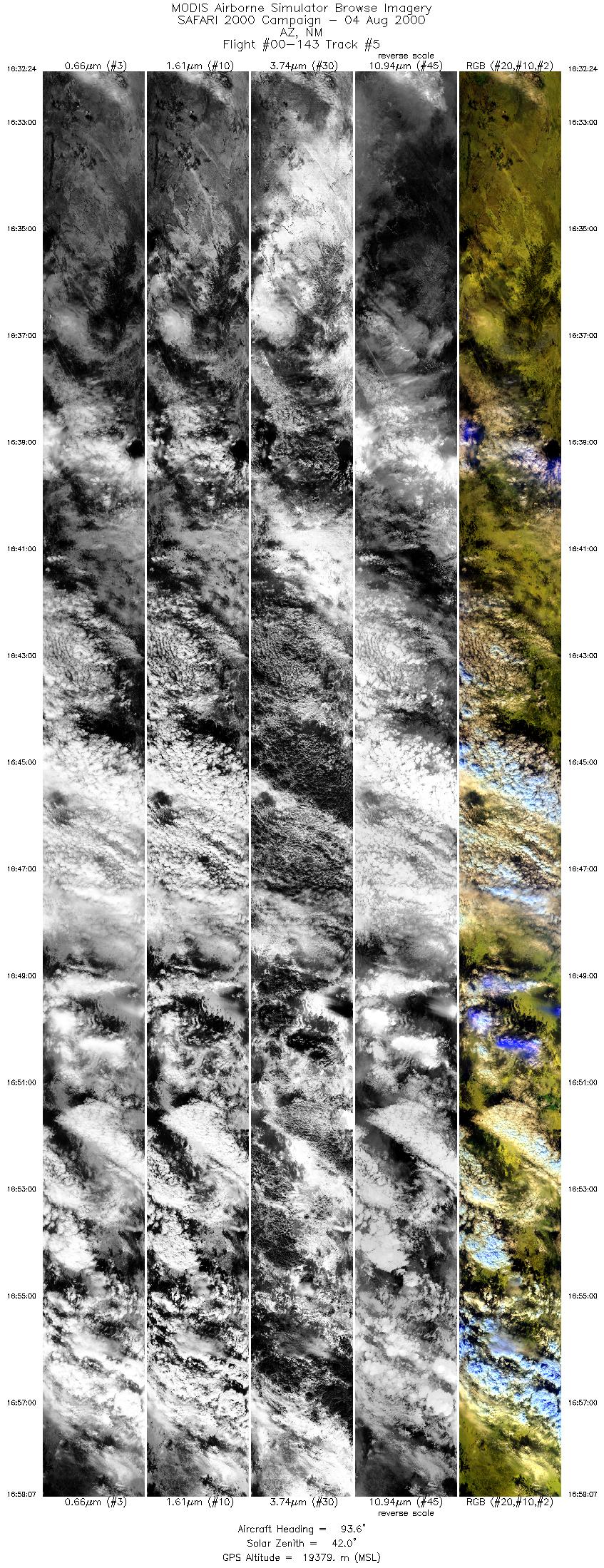
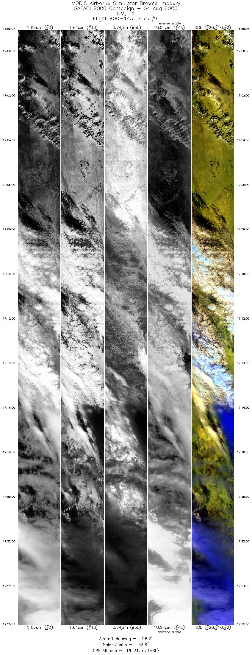
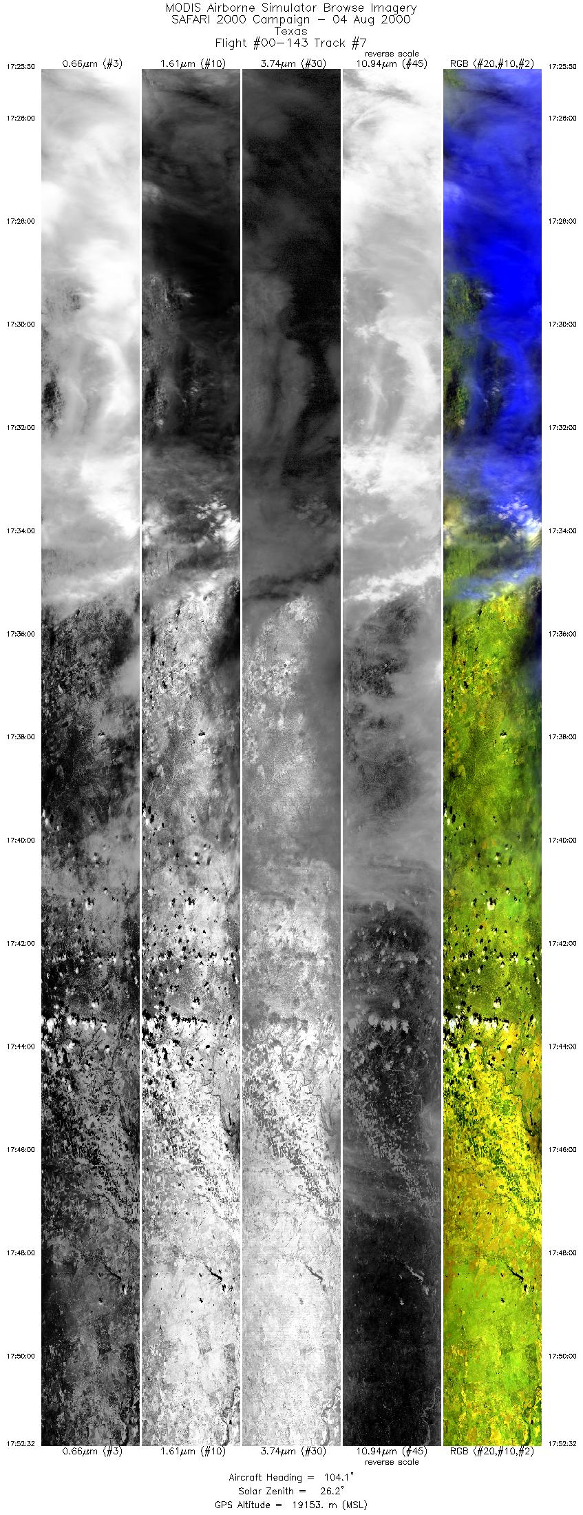
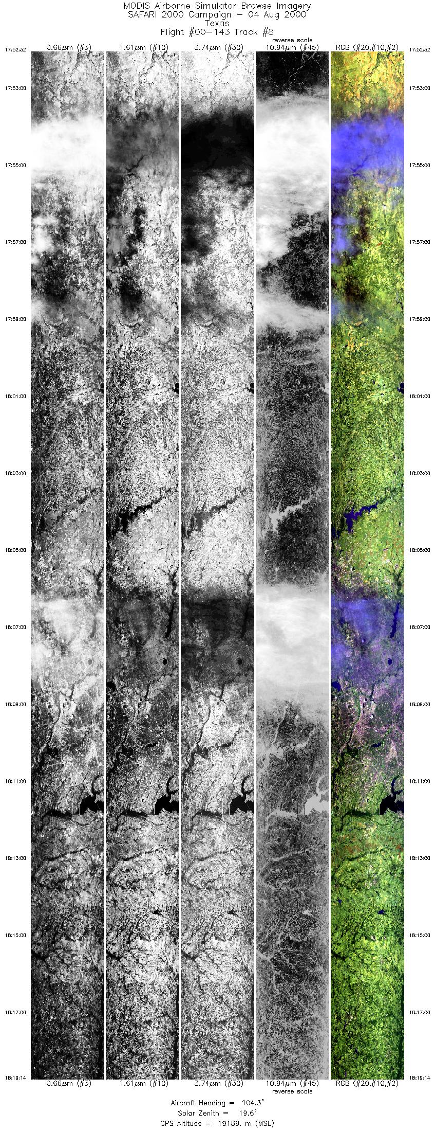
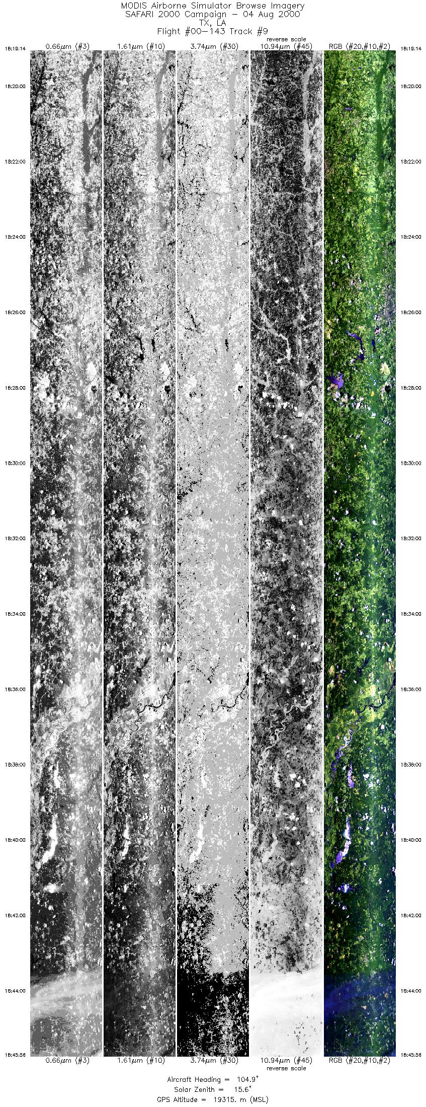
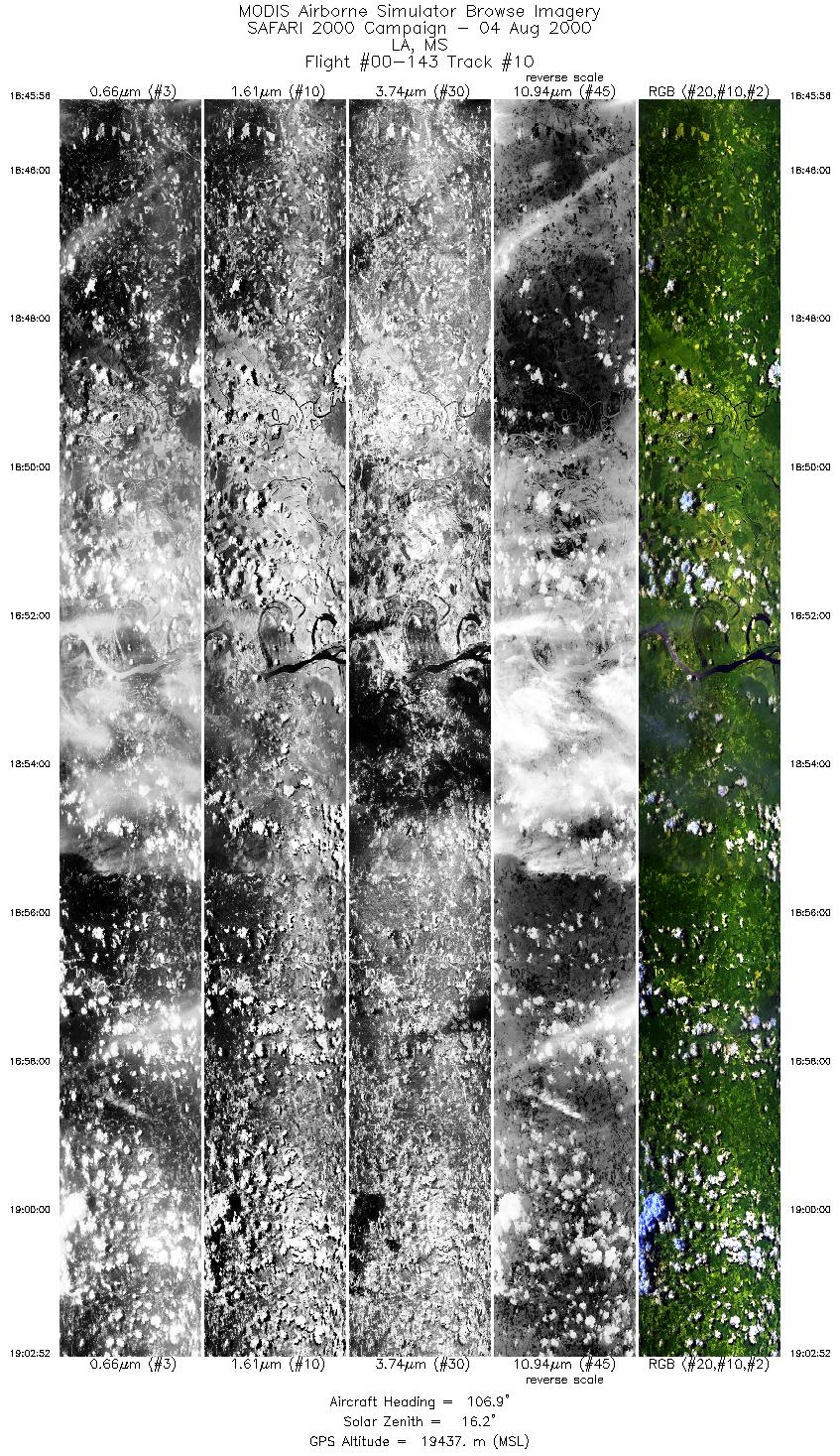
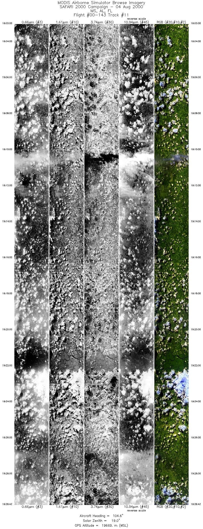
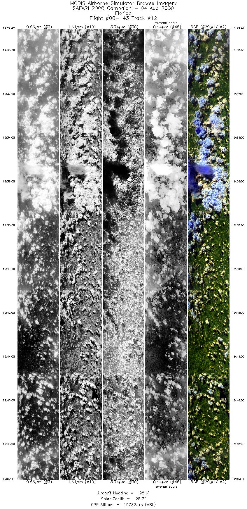
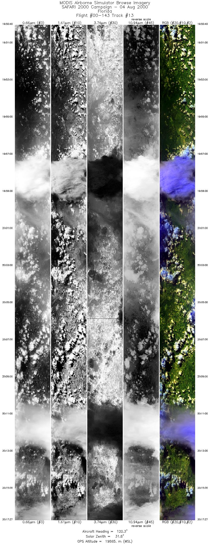
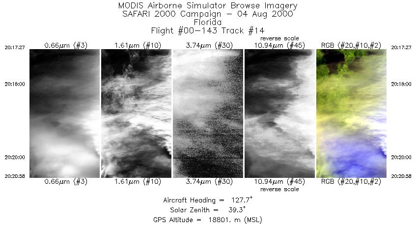
Browse Imagery Flight Tracks: 14 Scanlines: 111656 |
||||||||||||||||||||||||||||||||||||||||||||||||||||||||||||||||||||||||||||||||||||||||||||||||||||||||||||||||||||||||||||||
|
||||||||||||||||||||||||||||||||||||||||||||||||||||||||||||||||||||||||||||||||||||||||||||||||||||||||||||||||||||||||||||||

Flight 00-143


| Sample Imagery |
| Click image for full resolution |
|
Track #2 California |


|
|
R: 2.15µm G: 1.64µm B: 0.55µm |
- NASA Official: Matt Fladeland
- Project Manager: James Jacobson
- Website Editor: Eric Fraim
- Last Updated: November 16, 2021


