


MODIS Airborne Simulator (MAS)
CAMPAIGN SUMMARY INFORMATION
|
Cloud And Land Surface Interaction Campaign Dates: 31 May - 30 June 2007 Location: Southern Great Plains Measurement Site, OK Principal Investigators: Dr. Greg McFarquhar (UI) Additional Sensors: CPL & CRS Objective: This cross-disciplinary interagency research effort studies cumulus convection as an important component in the atmospheric radiation budget and hydrologic cycle of the SGP, particularly during the summer growing season. |
||||||||||||||||||||||||||||||||||||||||||||||||||||
|
Processing Information Flights Processed: 12 [ 3 (MAS) / 7 (MAS Hybrid) / 2 (MASTER) ] Total Flight Tracks: 134 [ 23 (MAS) / 83 (MAS Hybrid) / 28 (MASTER) ] Total Scanlines: 820513 [ 31845 (MAS) / 518986 (MAS Hybrid) / 169682 (MASTER) ] Level-1B Version: 4.0 (MAS & MAS Hybrid) / 3.0 (MASTER) Calibration Type: Final Calibration Version: 3.0 (MAS) / 3.5 (MAS Hybrid) / 2.0 (MASTER) Temperature Adjustment: None Status: Level-1B data is available in HDF format Processing Notes (MAS v4 and MASTER v3) The CalibrationSlope and CalibratedData scientific data sets (SDS) for visible and shortwave infrared bands (Chs 1-25) have been adjusted by scale factors supplied by Goddard Space Flight Center. The modified amounts are referenced in a new SDS entitled CalibrationSlopeAdjustmentFactor. These adjustments were based on direct comparisons with MODIS and are supported by results from vicarious ground based radiometric measurements. |
||||||||||||||||||||||||||||||||||||||||||||||||||||
|
Nadir Profiles Nadir Profiles |
||||||||||||||||||||||||||||||||||||||||||||||||||||
|
MAS Spectral Information Spectral Band Configuration Spectral Response Function Table |
||||||||||||||||||||||||||||||||||||||||||||||||||||
|
MAS Hybrid Spectral Information Spectral Band Configuration Spectral Response Function Table |
||||||||||||||||||||||||||||||||||||||||||||||||||||
|
MASTER Spectral Information Spectral Band Configuration Spectral Response Function Table |
||||||||||||||||||||||||||||||||||||||||||||||||||||
|
Level-1B Data Distribution Level 1 / Atmosphere Archive and Distribution System (LAADS) (MAS data only) NASA JPL (MASTER data only) NASA Distributive Active Archive Centers (DAACs) |
||||||||||||||||||||||||||||||||||||||||||||||||||||
|
||||||||||||||||||||||||||||||||||||||||||||||||||||
|
||||||||||||||||||||||||||||||||||||||||||||||||||||
|
Related Web Sites Official CLASIC Home Page CPL Home Page CRS Home Page NASA Airborne Science Program |
||||||||||||||||||||||||||||||||||||||||||||||||||||
 Flight: 07-619
 Flight: 07-621
 Flight: 07-622
 Flight: 07-625
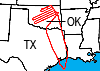 Flight: 07-626
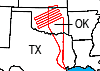 Flight: 07-627
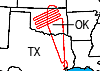 Flight: 07-628
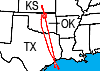 Flight: 07-630
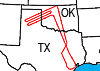 Flight: 07-631
 Flight: 07-632
 Flight: 07-937-00
 Flight: 07-938-00
CLASIC


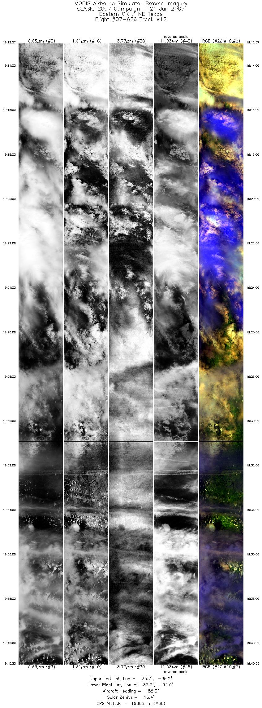
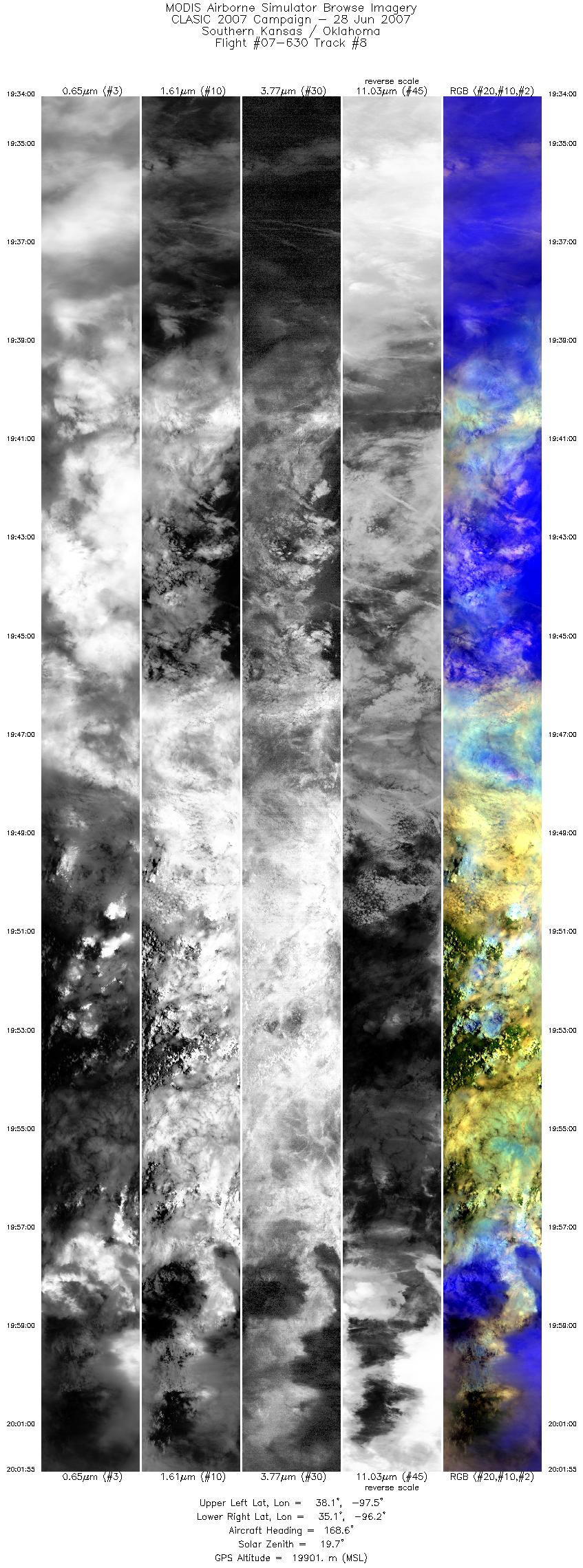
| Sample Imagery |
| Click image for full resolution |
|
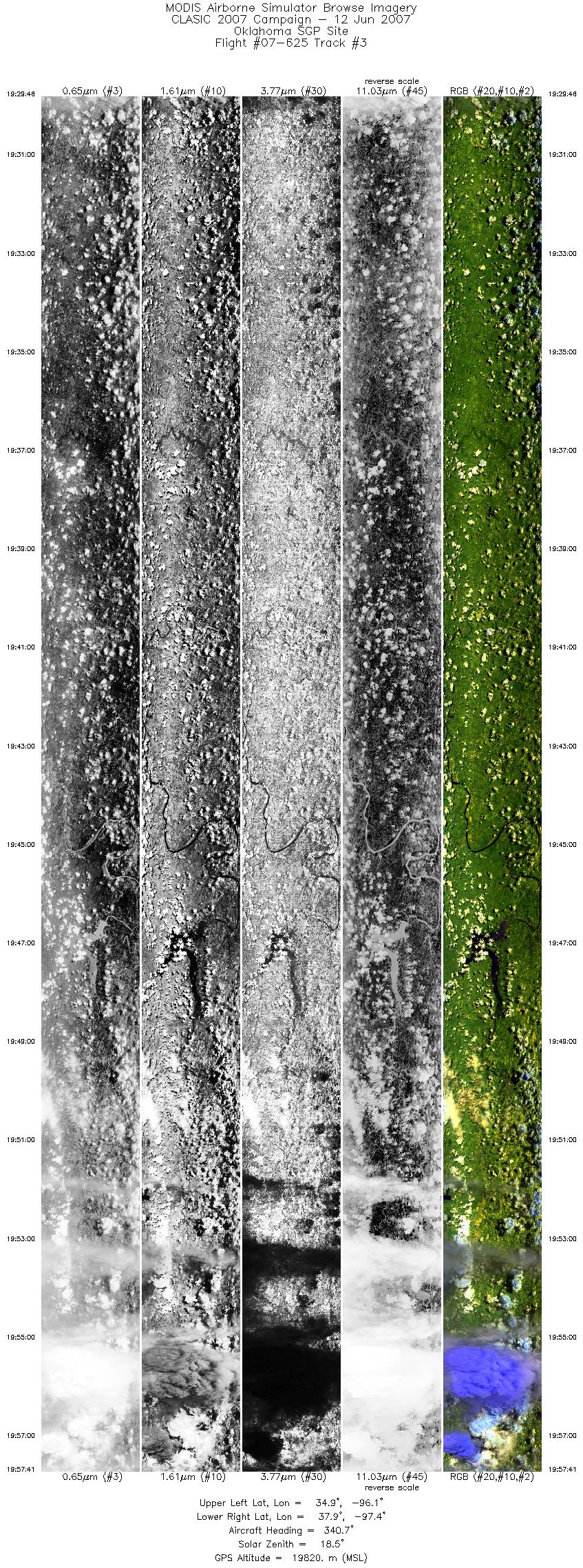
Flight: 07-625, Track #03 Oklahoma SGP Site |


|
|
R: 2.14µm G: 1.62µm B: 0.55µm |
- NASA Official: Matt Fladeland
- Project Manager: James Jacobson
- Website Editor: Eric Fraim
- Last Updated: March 21, 2024


