


MODIS Airborne Simulator (MAS)
CAMPAIGN SUMMARY INFORMATION
|
CALIPSO & CloudSat Validation Experiment Dates: July 24 - Aug 14 2006 Location: Atlantic Ocean, Gulf of Mexico, & Eastern USA Principal Investigators: Dr. Trepte (NASA LaRC) & Dr. Mace (UU-Met) Additional Sensors: APS, CPL, CRS, Reveal, VIS Objective: CALIPSO & CloudSat Satellite Validation |
||||||||||||||||||||||||||||||||||||||||||||||||||||
|
Processing Information Flights Processed: 13 of 14 Total Flight Tracks: Total Scanlines: Level-1B Version: #1 Calibration Type: Final Calibration Version: CC-VEX ARC 1.0 Temperature Adjustment: None Status: Level-1B Data in HDF format is available. |
||||||||||||||||||||||||||||||||||||||||||||||||||||
|
Spectral Information Spectral Band Configuration Spectral Response Function Table |
||||||||||||||||||||||||||||||||||||||||||||||||||||
|
Level-1B Data Distribution Langley Research Center (LaRC) Level 1 / Atmosphere Archive and Distribution System (LAADS) NASA Distributive Active Archive Centers (DAACs) |
||||||||||||||||||||||||||||||||||||||||||||||||||||
|
||||||||||||||||||||||||||||||||||||||||||||||||||||
|
||||||||||||||||||||||||||||||||||||||||||||||||||||
|
Related Web Sites Official CALIPSO Home Page Official CloudSat Home Page NASA Airborne Science Program |
||||||||||||||||||||||||||||||||||||||||||||||||||||
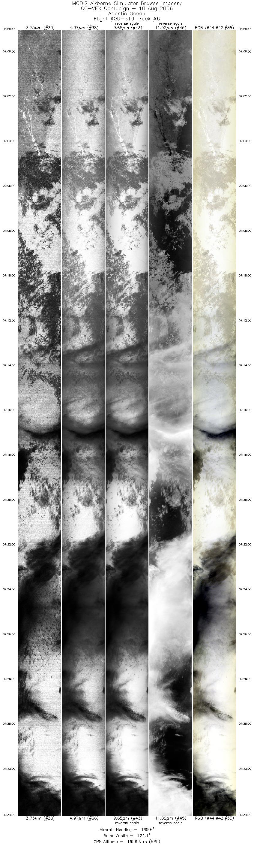
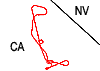 Flight: 06-610
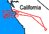 Flight: 06-611
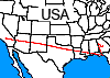 Flight: 06-612
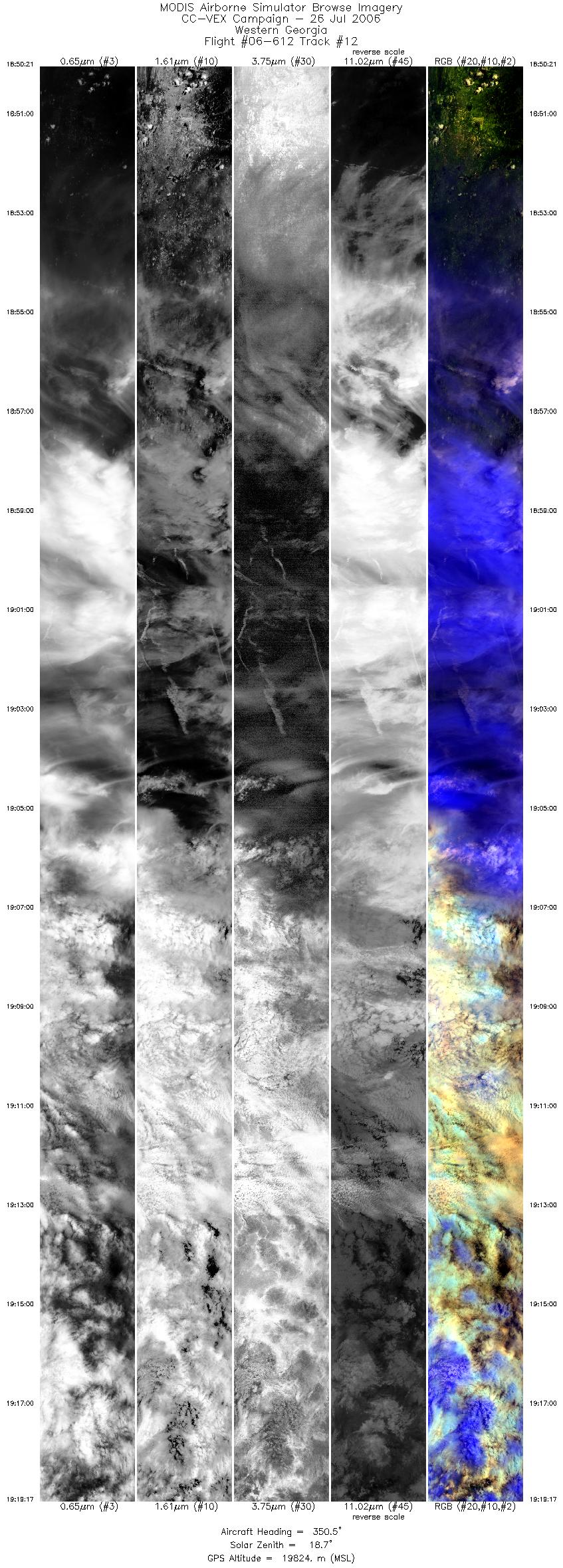
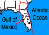 Flight: 06-613
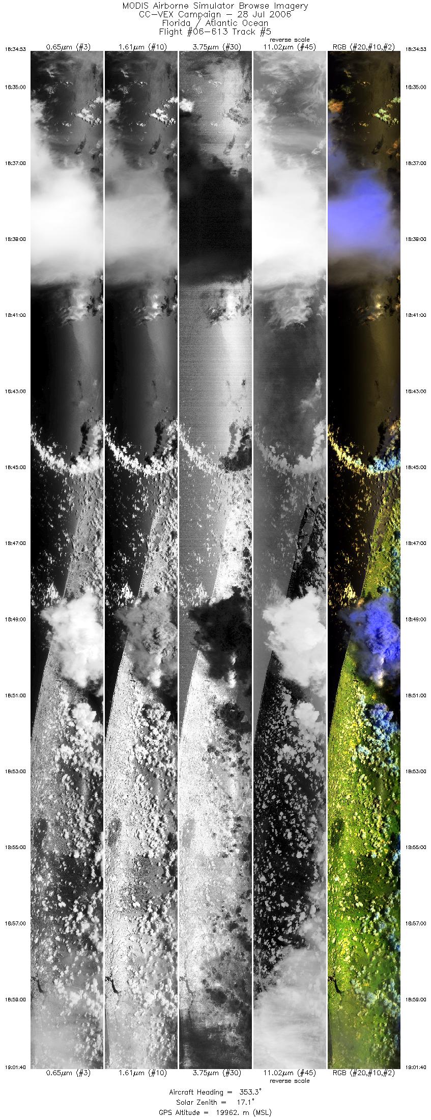
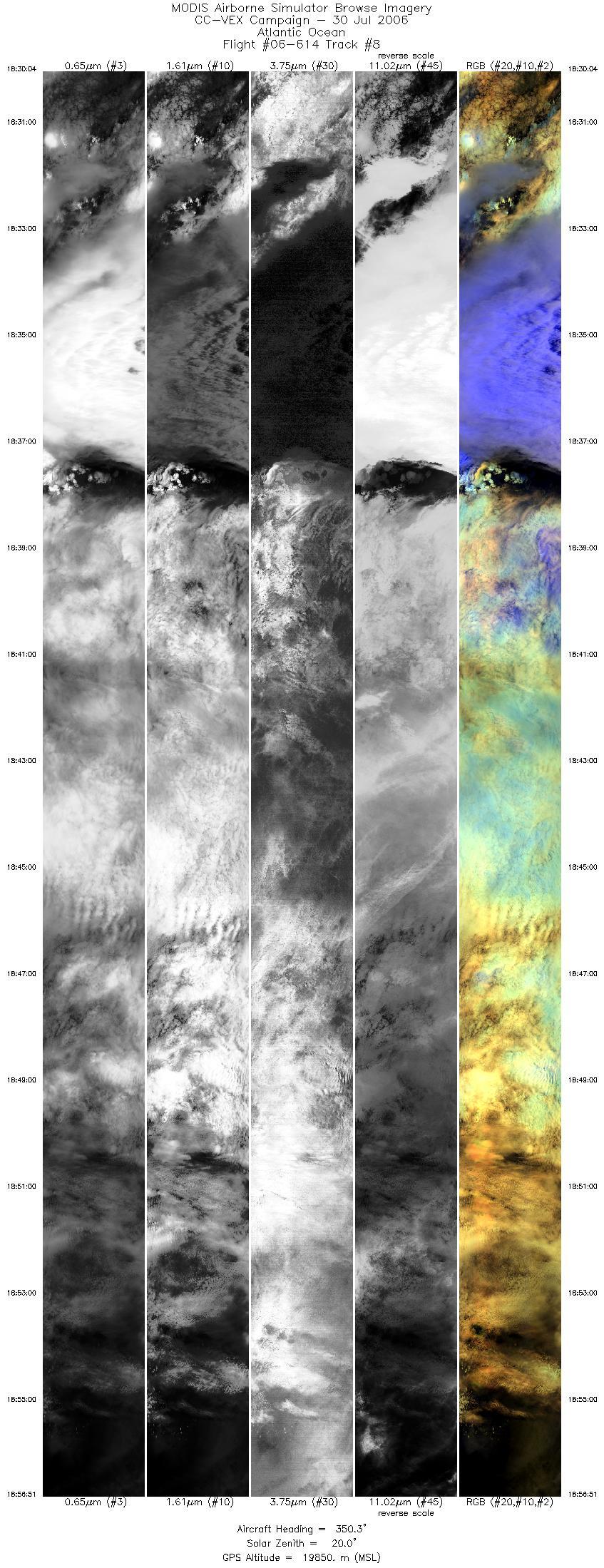
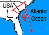 Flight: 06-614
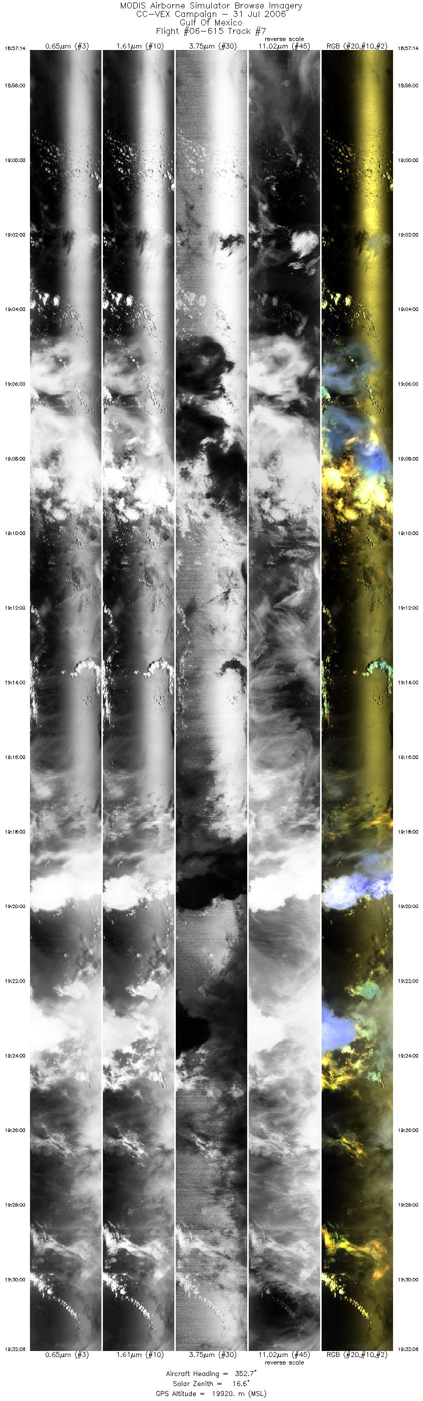
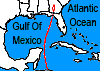 Flight: 06-615
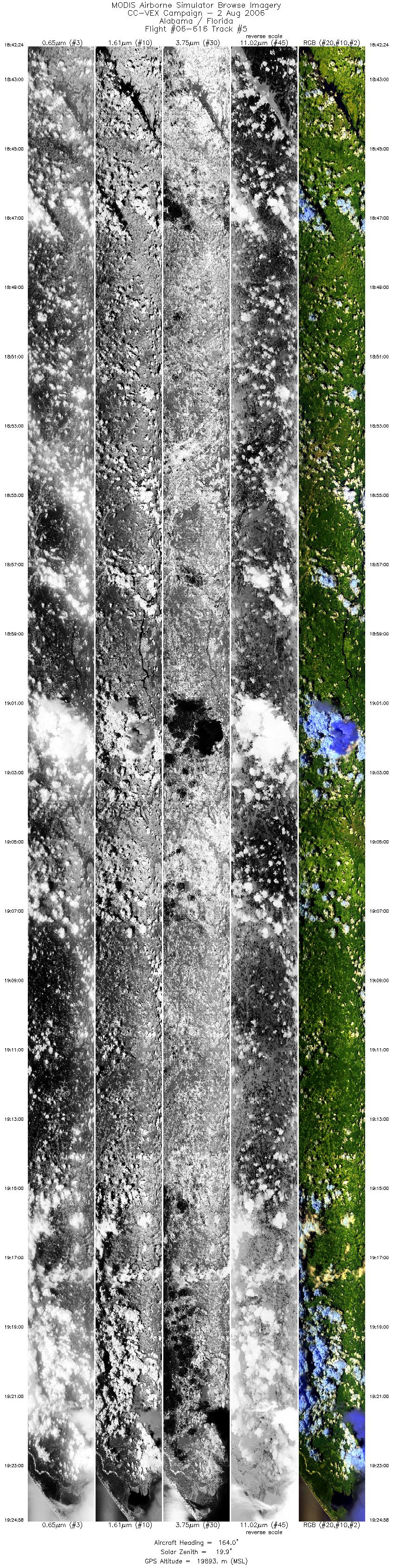
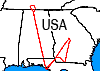 Flight: 06-616
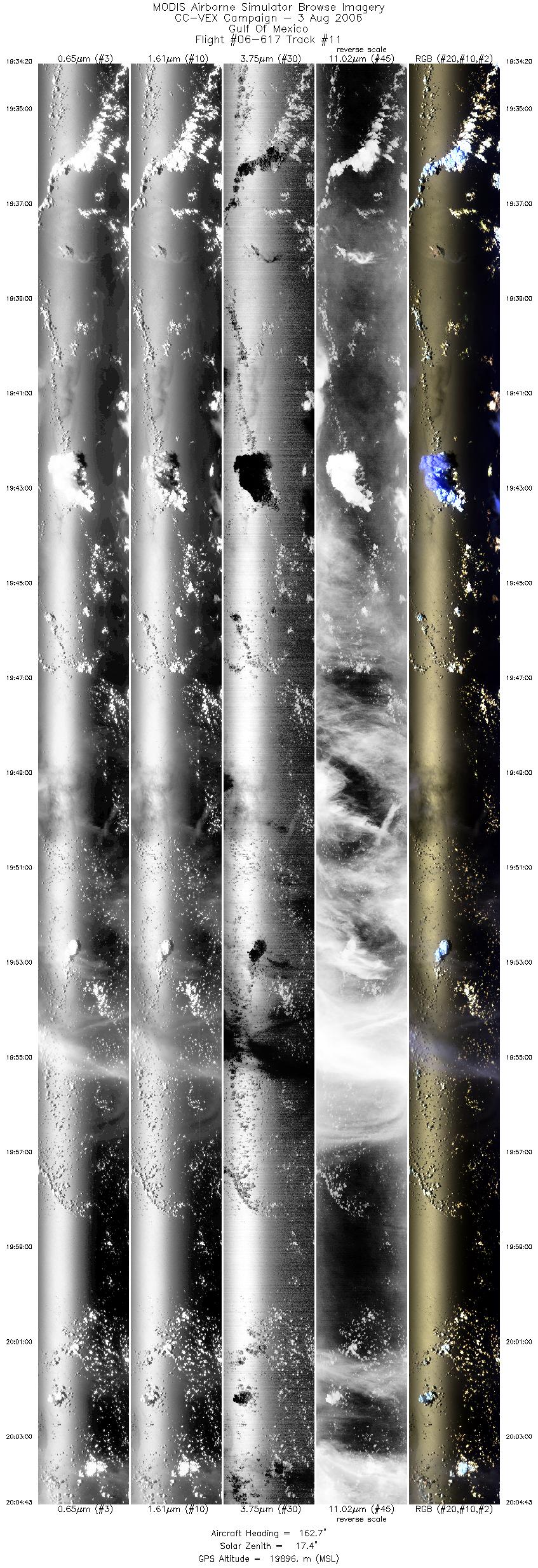
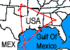 Flight: 06-617
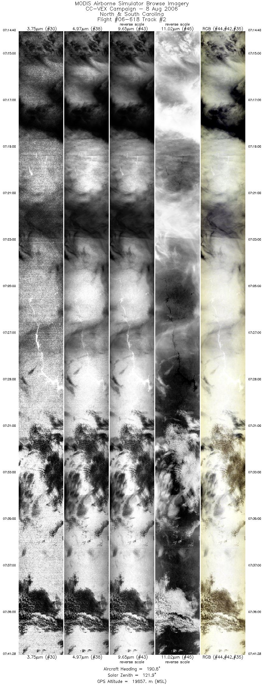
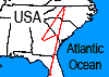 Flight: 06-618
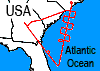 Flight: 06-619
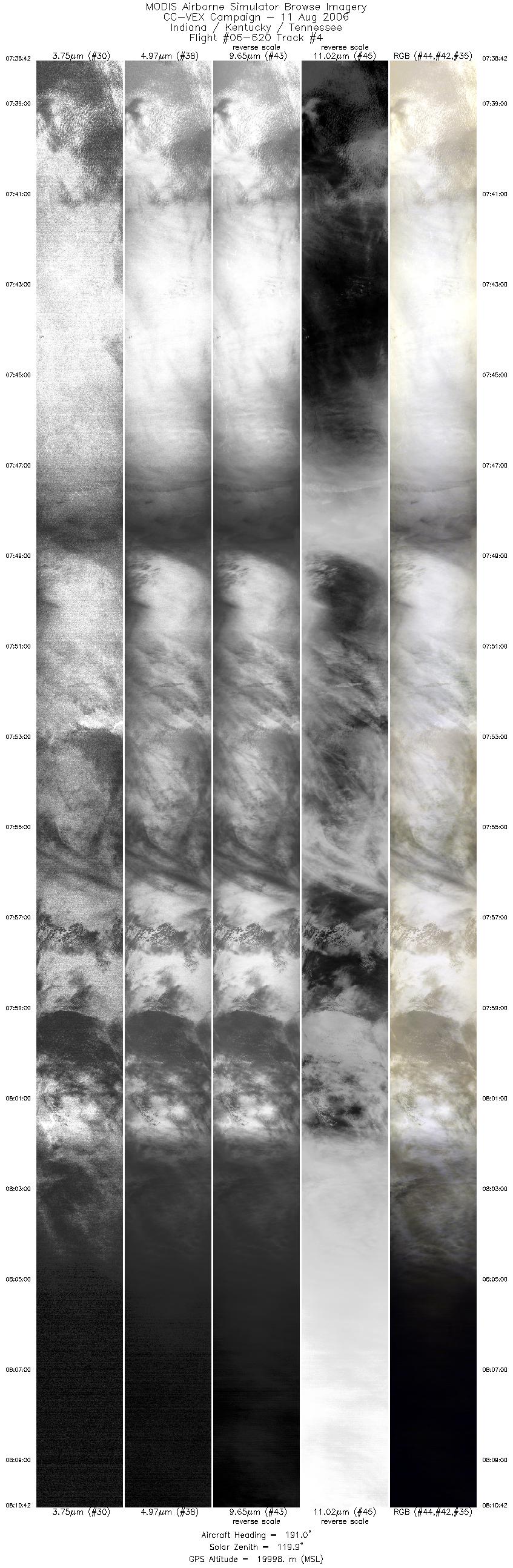
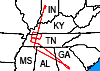 Flight: 06-620
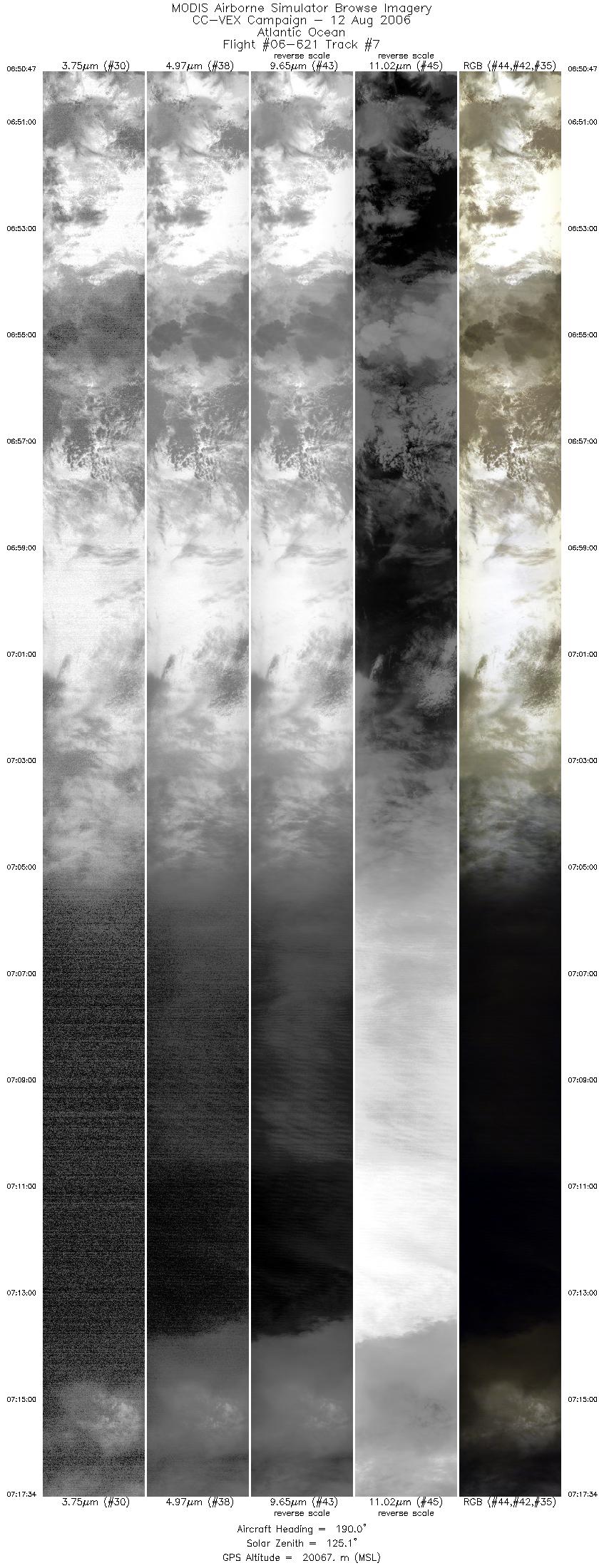
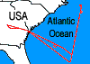 Flight: 06-621
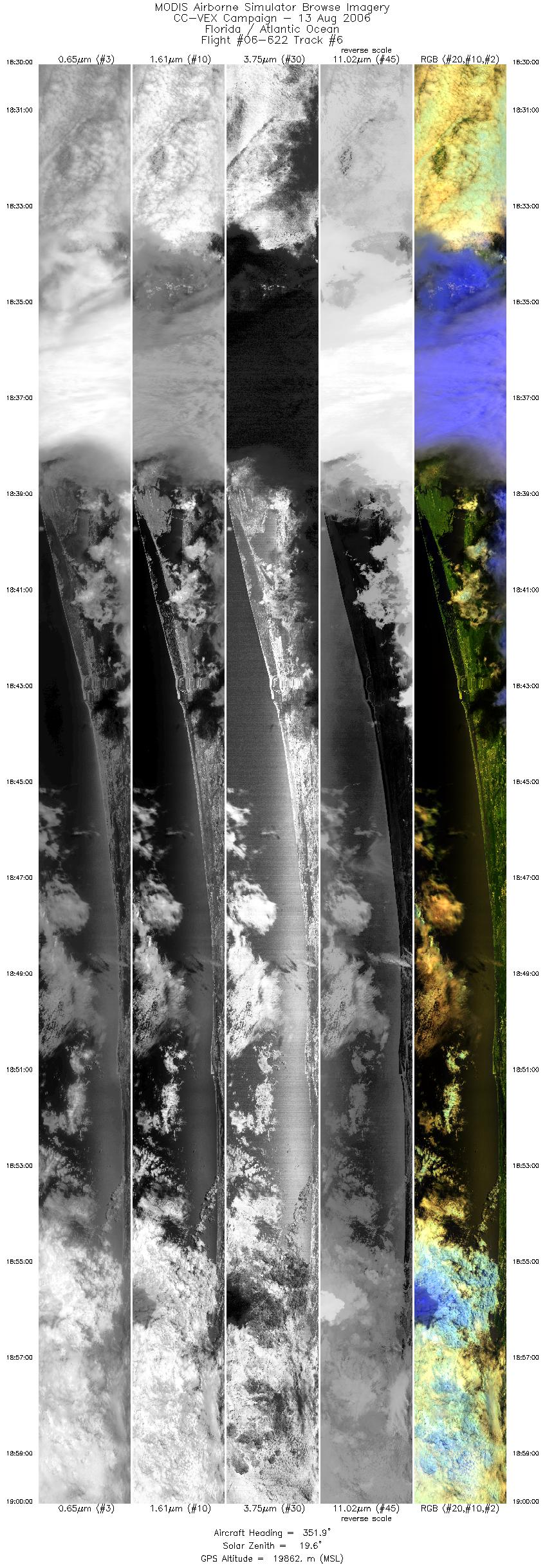
 Flight: 06-622
CC-VEX


| Sample Imagery |
| Click image for full resolution |
|
Flight: 06-614, Track #08 Satellite overpass @18:36 |


|
|
R: 2.14µm G: 1.61µm B: 0.55µm |
- NASA Official: Matt Fladeland
- Project Manager: James Jacobson
- Website Editor: Eric Fraim
- Last Updated: March 21, 2024


