


FLIGHT SUMMARY INFORMATION
Flight Track Map


|
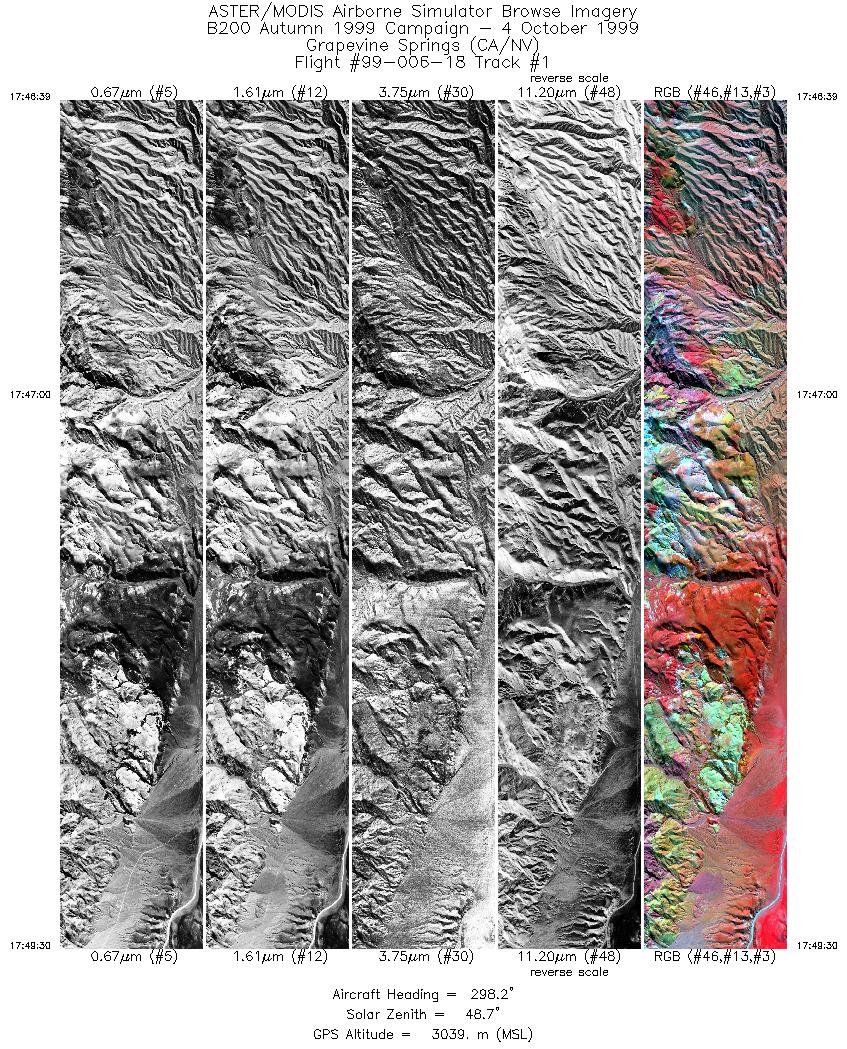
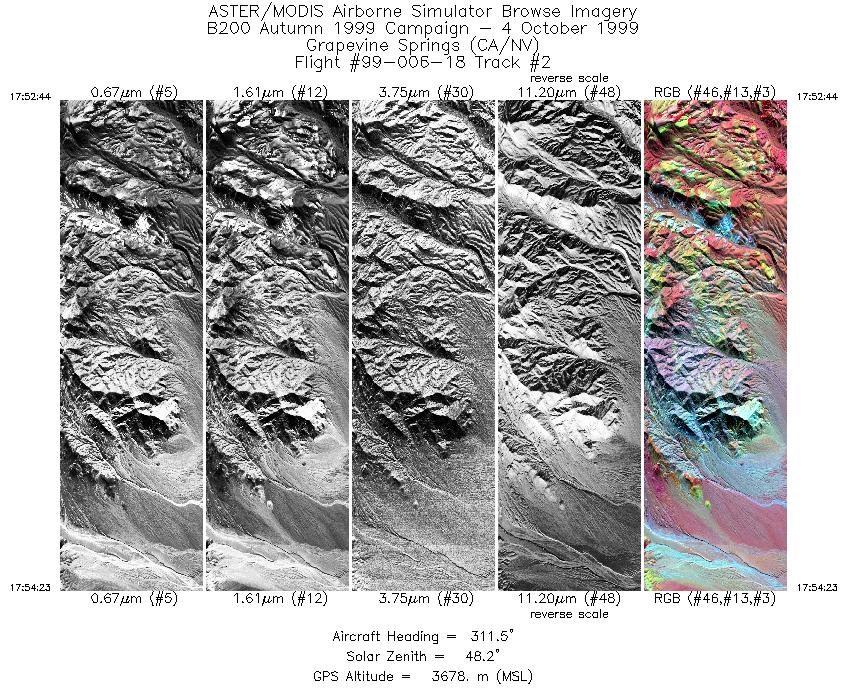
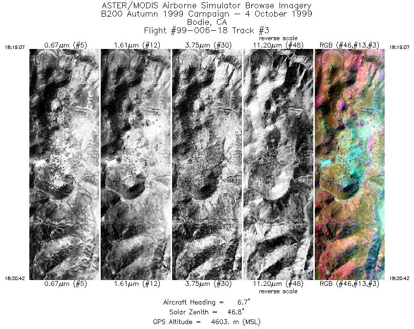
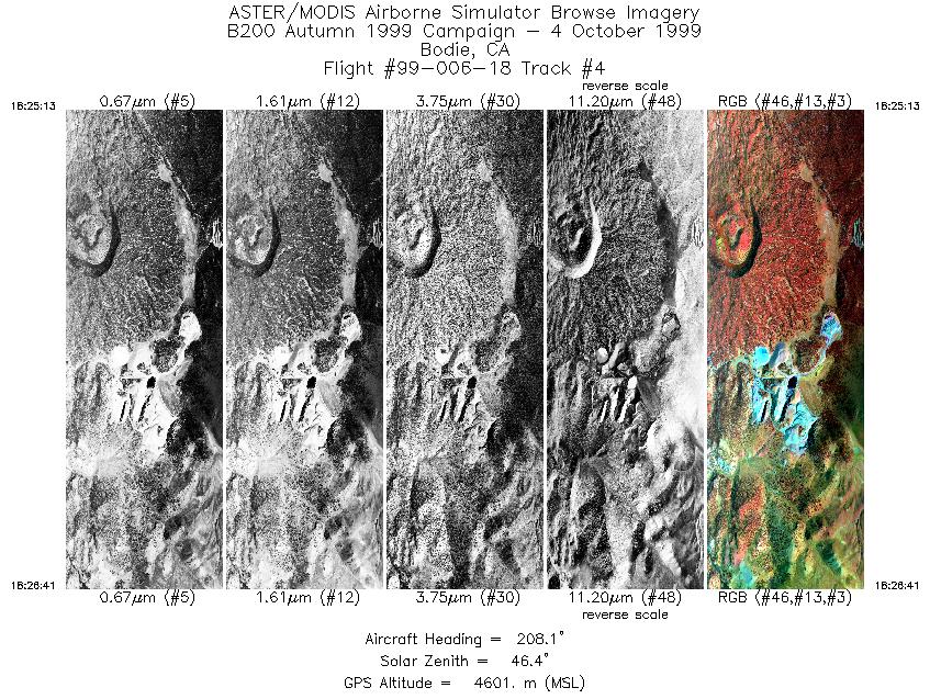
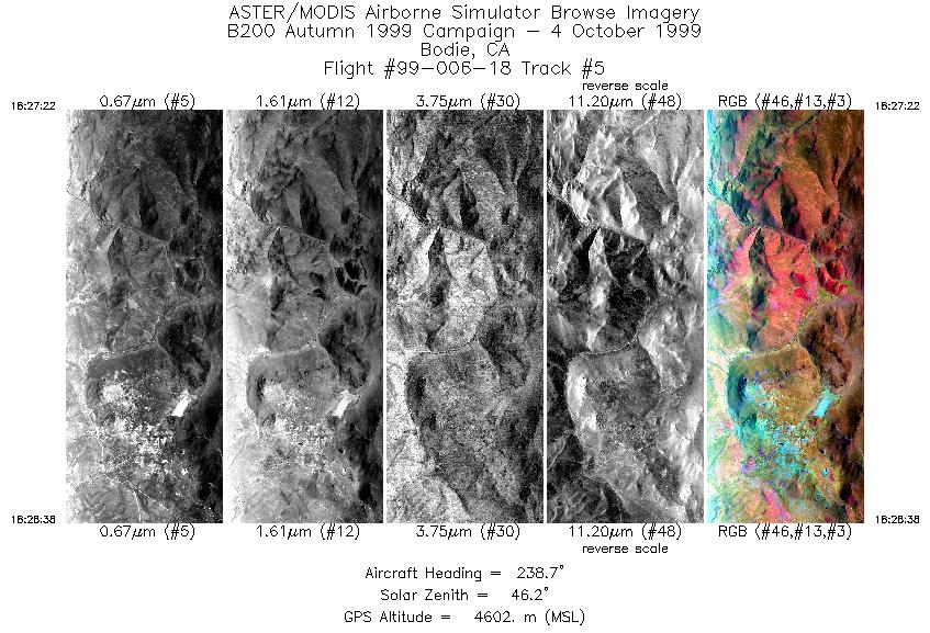
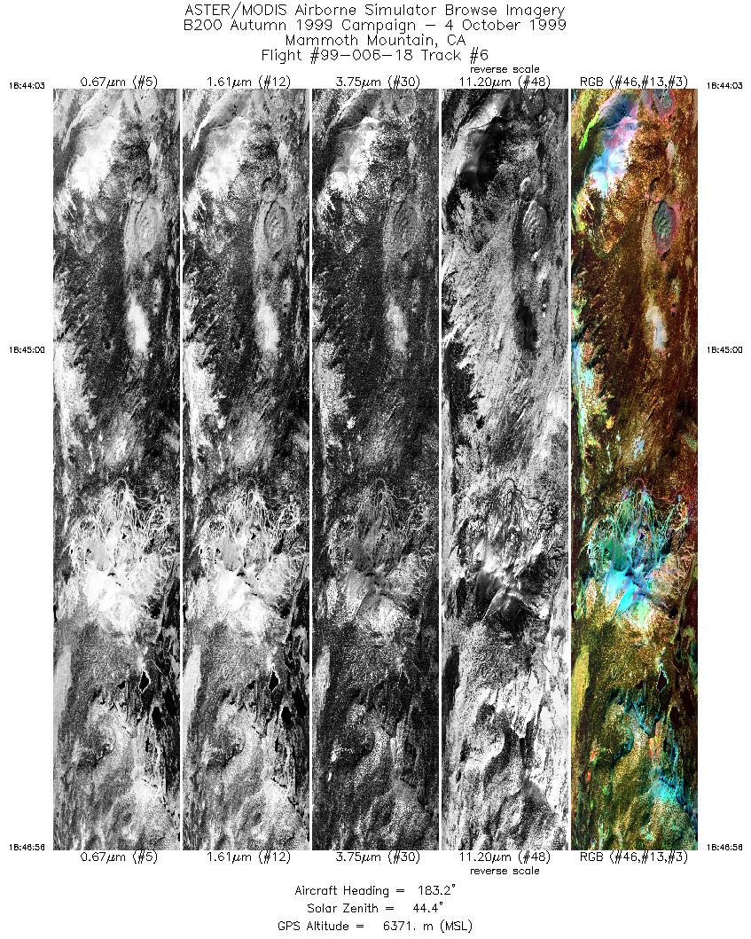
Flight: 99-006-18 Date: October 4, 1999 Aircraft: DOE B-200 Kingair Deployment: B200 Autumn 1999 Flight Location: Grapevine Springs (CA/NV), Bodie (CA), Mammoth Mnt. (CA) Principal Investigator: Kruse (Analytical Imaging), Hook (JPL), Hausback (California State Univ.) Additional Sensors: RC-30 |
||||||||||||||||||||||||||||||||||||||||||||||||||||||||||||||||||||||
|
Data Evaluation The Mammoth site flightline (track F) is overscanned by a factor of 1.8 In many flights during the 99-006 deployment, a minor pixel offset occured in channels 20-22. In addition, some flights (for example 99-006-08 and 99-006-14) contain banding in channel 22. This banding was a result of the analog offset in channel 22 being fixed at a value of 1024, meaning the digital to analog converter did not move through the entire signal range. |
||||||||||||||||||||||||||||||||||||||||||||||||||||||||||||||||||||||
|
Processing Information Level-1B Data in HDF format is available Flight Line Summary Spectral Band Configuration Spectral Response Function Table Spectral Response Function (text) |
||||||||||||||||||||||||||||||||||||||||||||||||||||||||||||||||||||||
|
Browse Imagery Flight Tracks: 6 Scanlines: 17436 |
||||||||||||||||||||||||||||||||||||||||||||||||||||||||||||||||||||||
|
||||||||||||||||||||||||||||||||||||||||||||||||||||||||||||||||||||||


