


FLIGHT SUMMARY INFORMATION
Flight Track Map


|
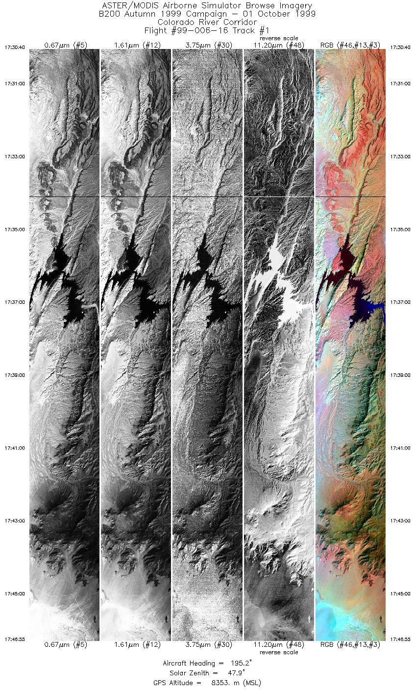
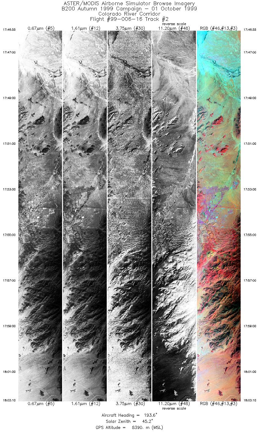
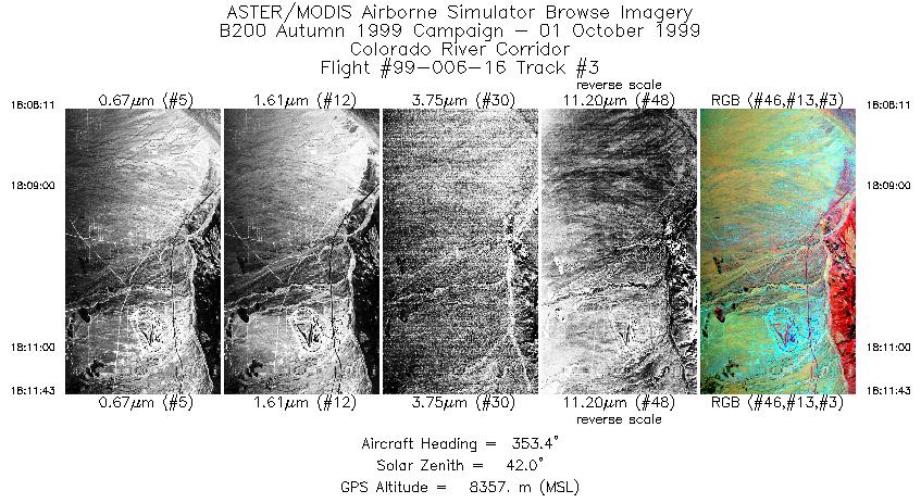
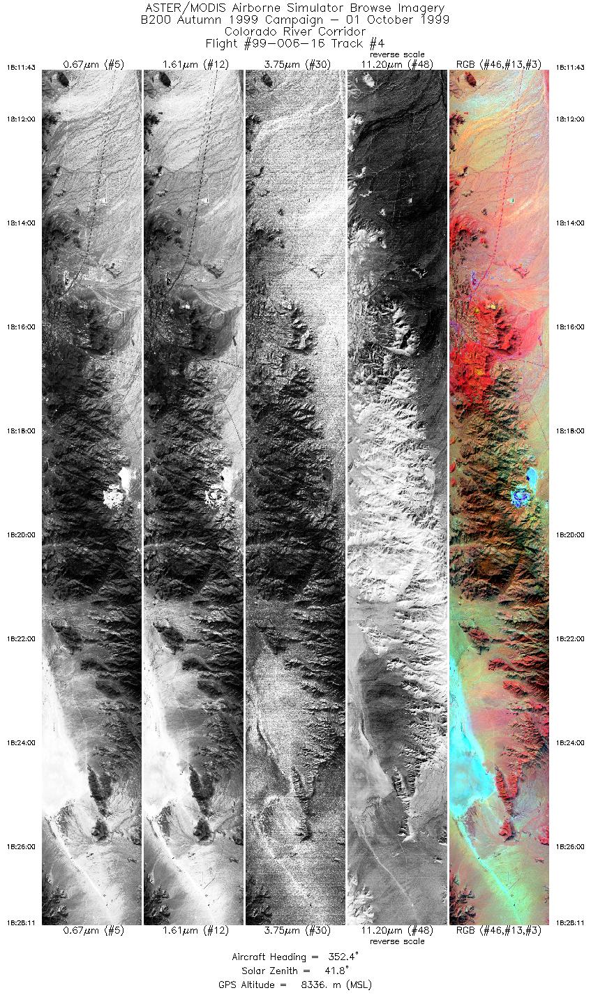
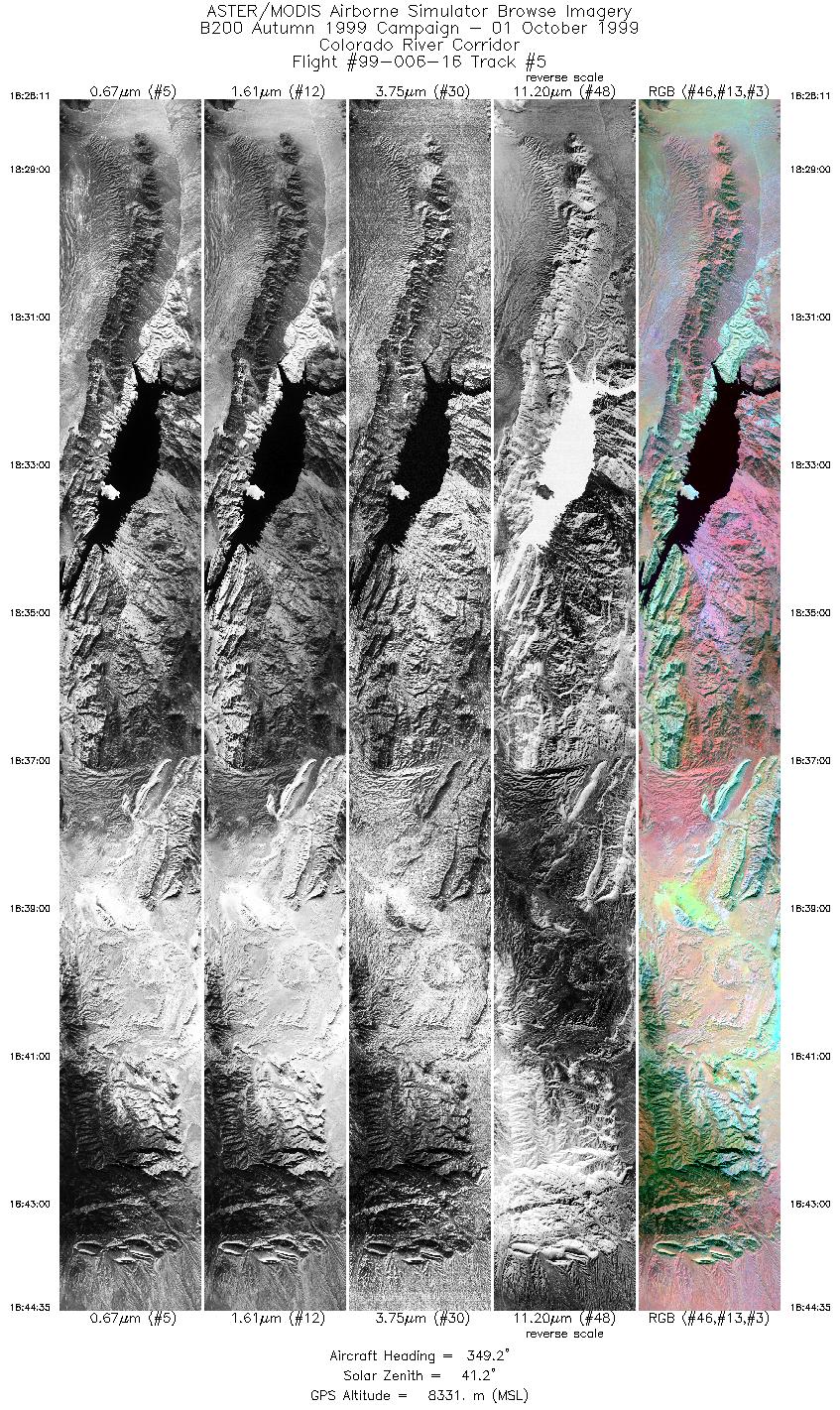
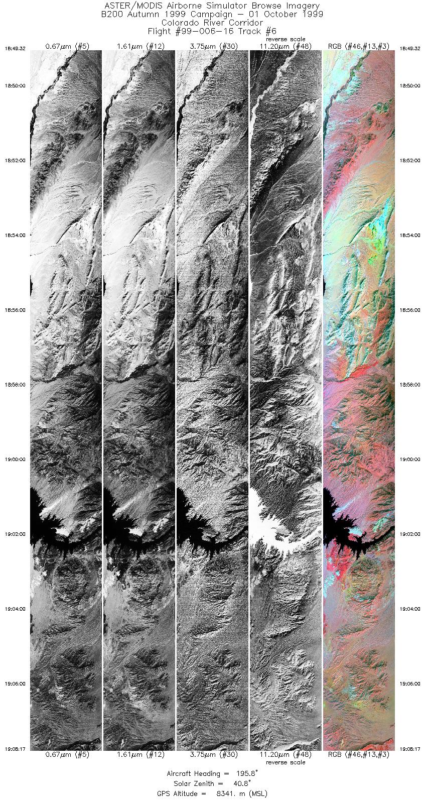
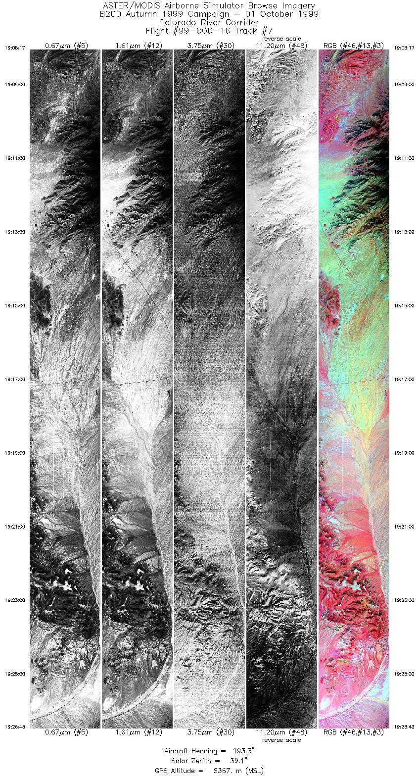
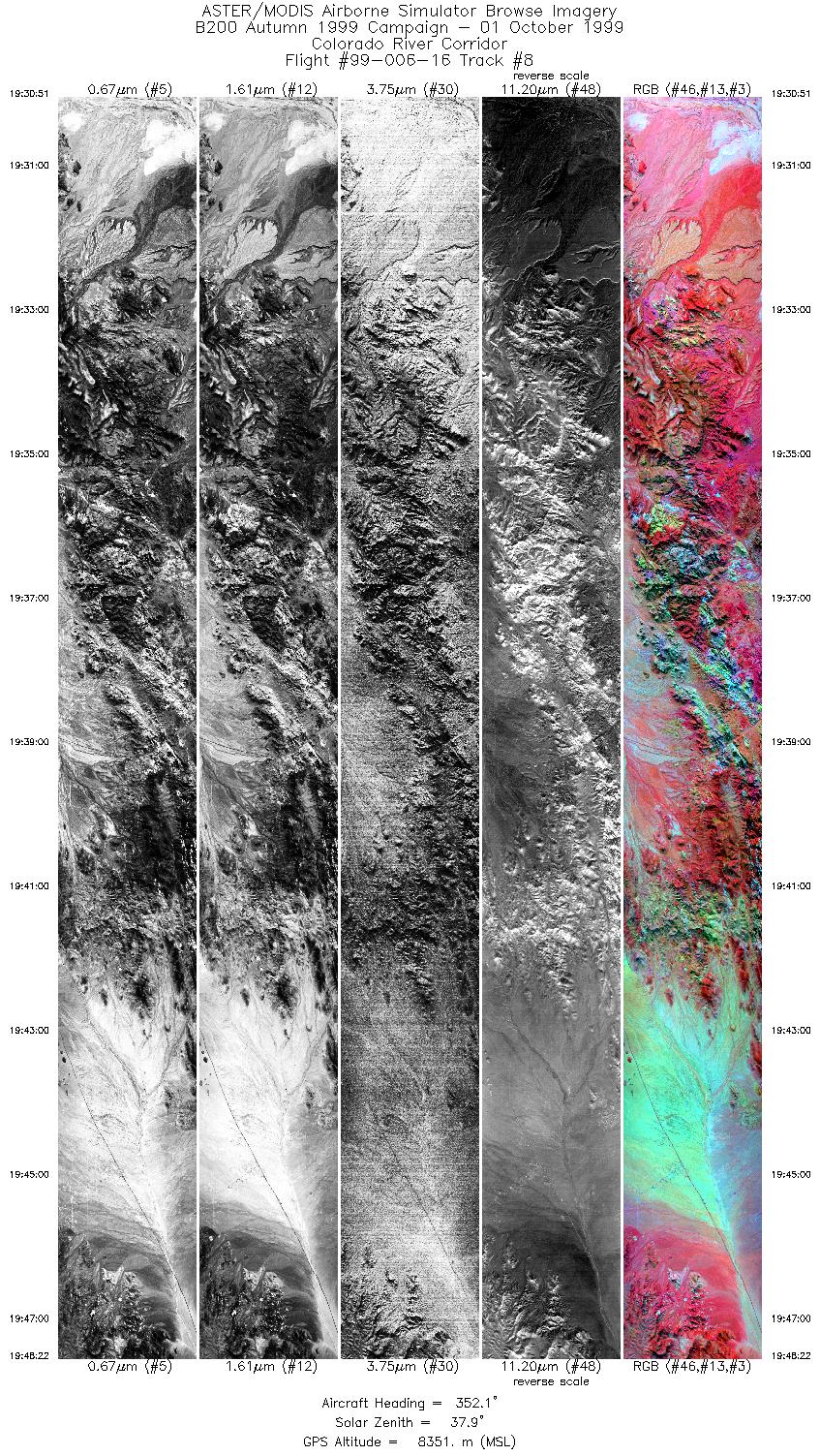
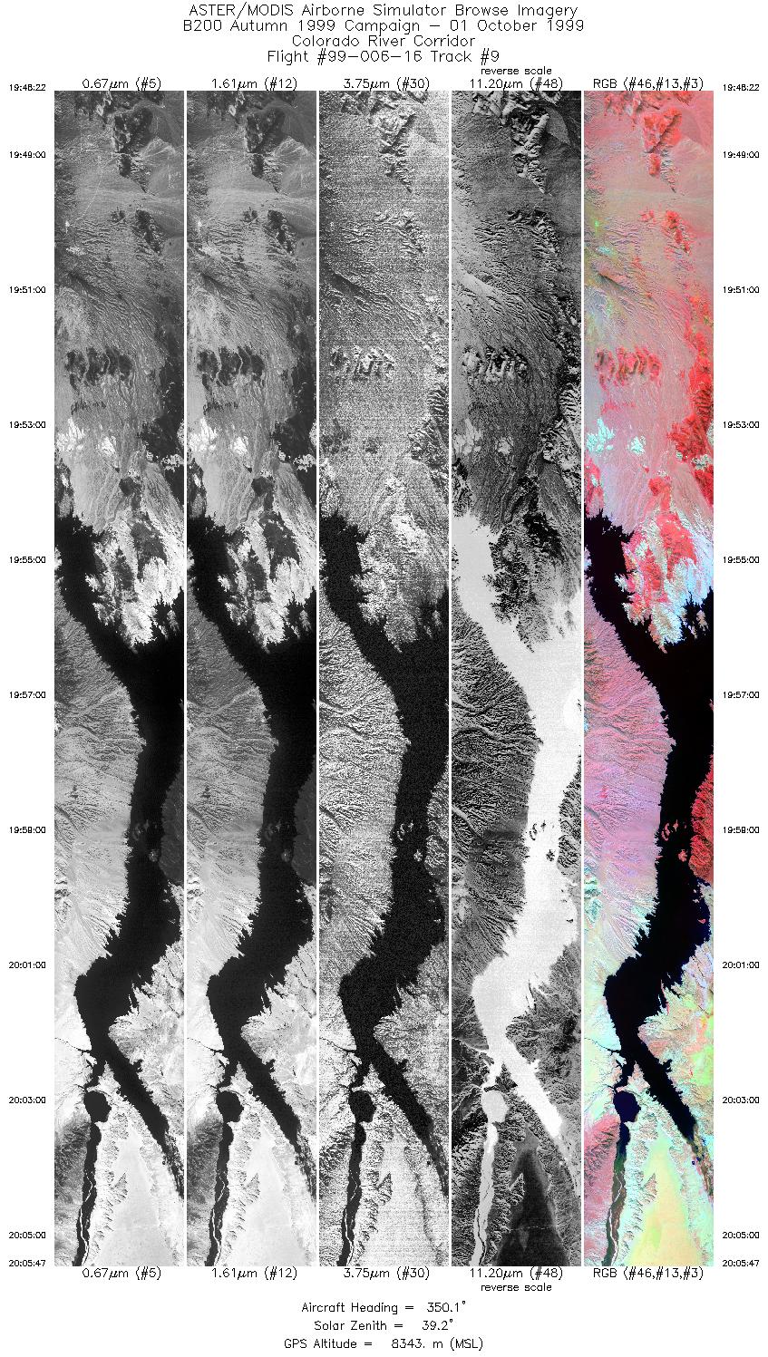
Flight: 99-006-16 Date: October 1, 1999 Aircraft: DOE B-200 Kingair Deployment: B200 Autumn 1999 Flight Location: Colorado River Corridor Principal Investigator: Hook (JPL) Additional Sensors: RC-30 |
|||||||||||||||||||||||||||||||||||||||||||||||||||||||||||||||||||||||||||||||||||||||||||
|
Data Evaluation In many flights during the 99-006 deployment, a minor pixel offset occured in channels 20-22. In addition, some flights (for example 99-006-08 and 99-006-14) contain banding in channel 22. This banding was a result of the analog offset in channel 22 being fixed at a value of 1024, meaning the digital to analog converter did not move through the entire signal range. |
|||||||||||||||||||||||||||||||||||||||||||||||||||||||||||||||||||||||||||||||||||||||||||
|
Processing Information Level-1B Data in HDF format is available Flight Line Summary Spectral Band Configuration Spectral Response Function Table Spectral Response Function (text) |
|||||||||||||||||||||||||||||||||||||||||||||||||||||||||||||||||||||||||||||||||||||||||||
|
Browse Imagery Flight Tracks: 9 Scanlines: 52487 |
|||||||||||||||||||||||||||||||||||||||||||||||||||||||||||||||||||||||||||||||||||||||||||
|
|||||||||||||||||||||||||||||||||||||||||||||||||||||||||||||||||||||||||||||||||||||||||||


