


FLIGHT SUMMARY INFORMATION
Flight Track Map


|
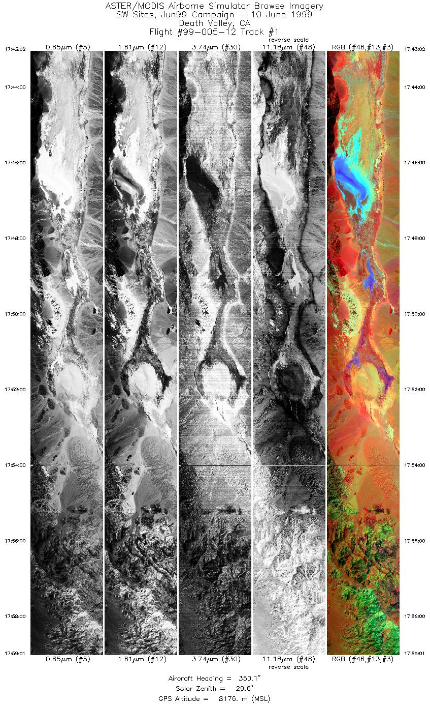
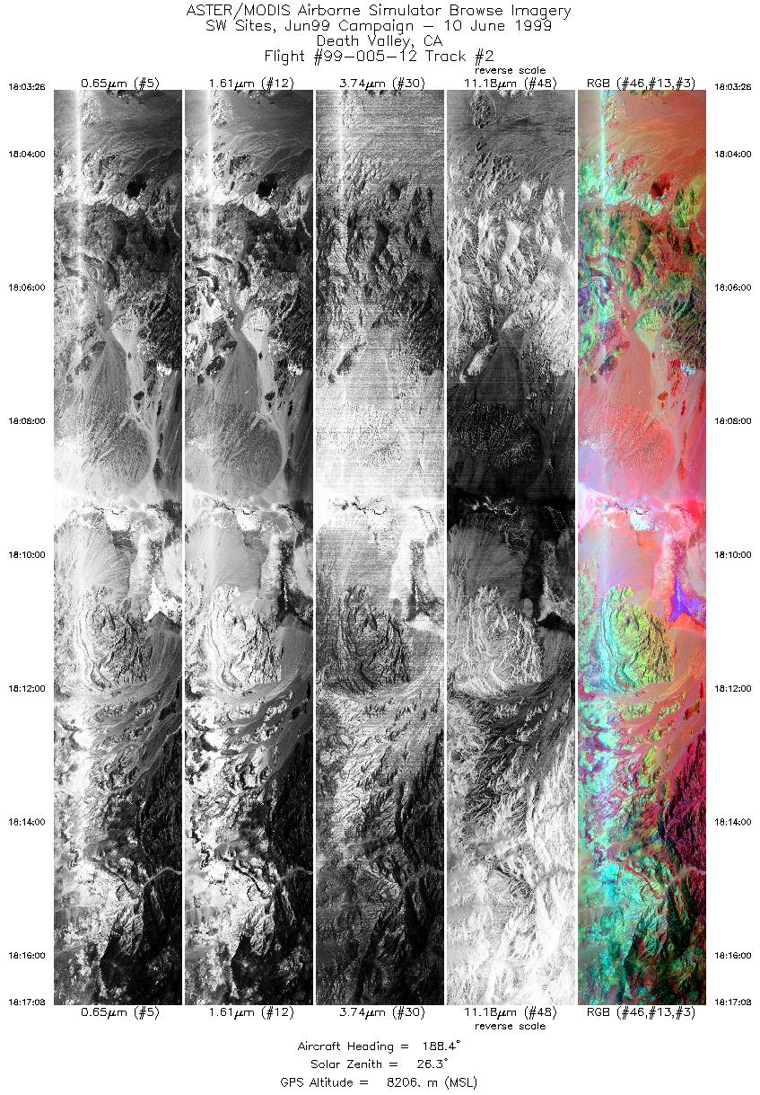
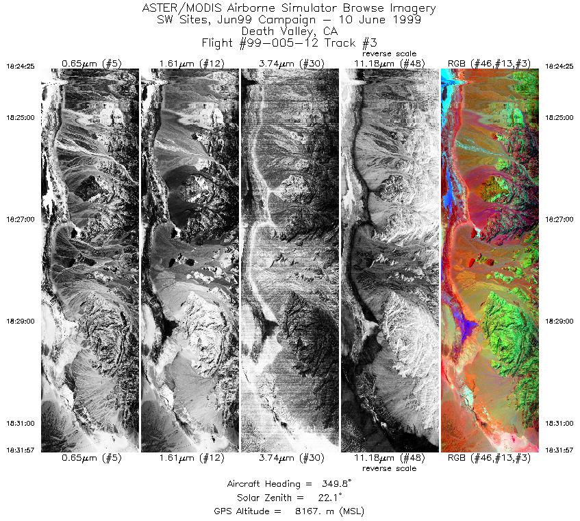
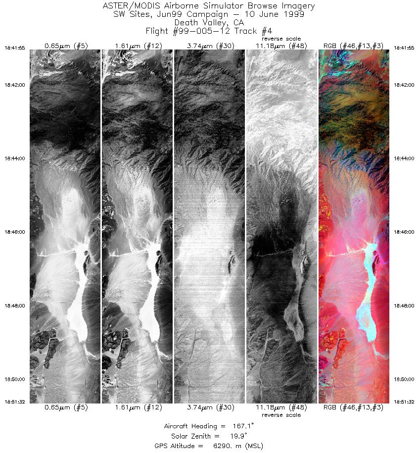
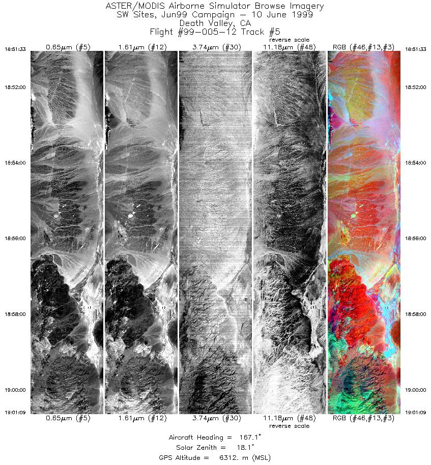
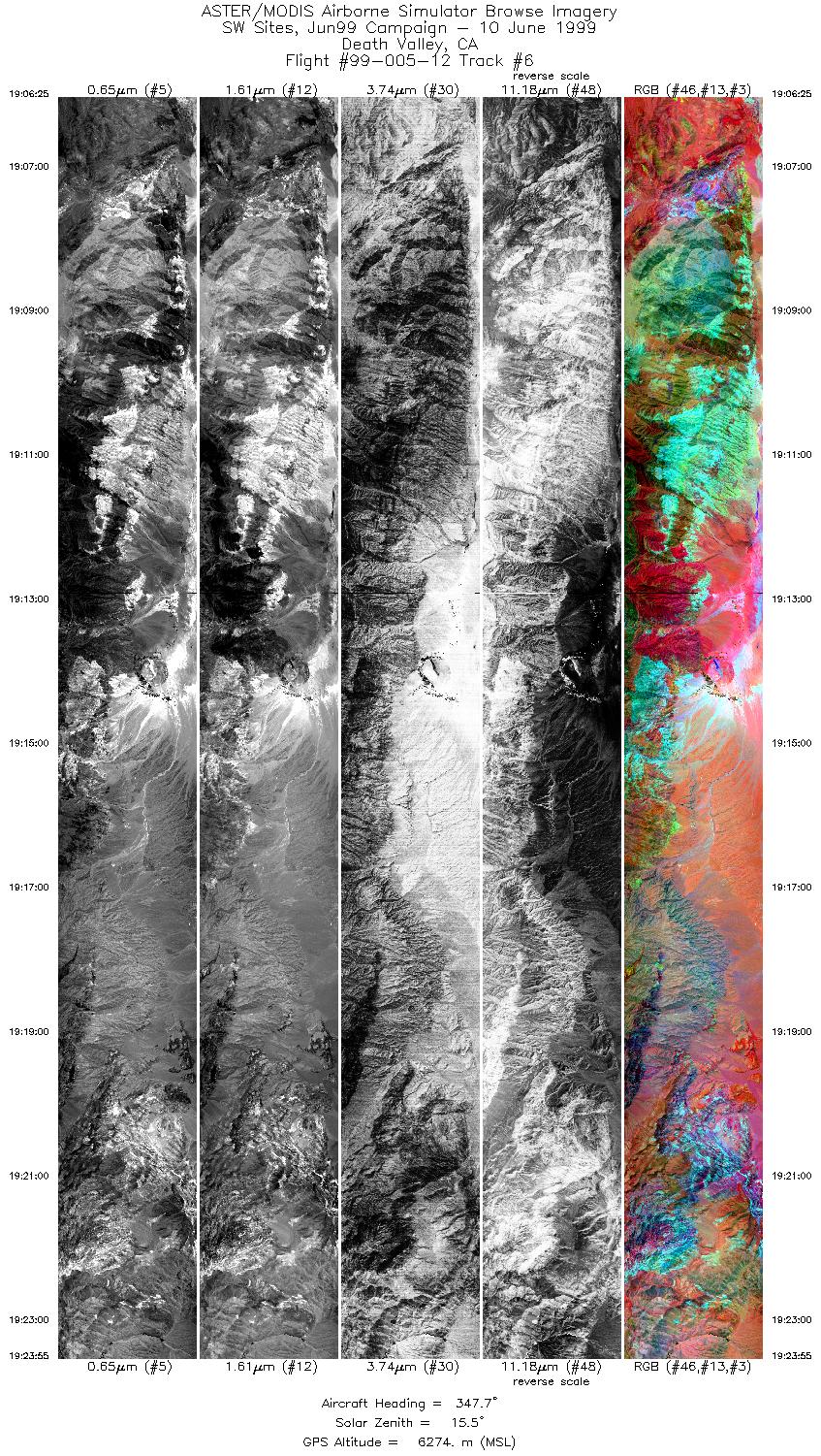
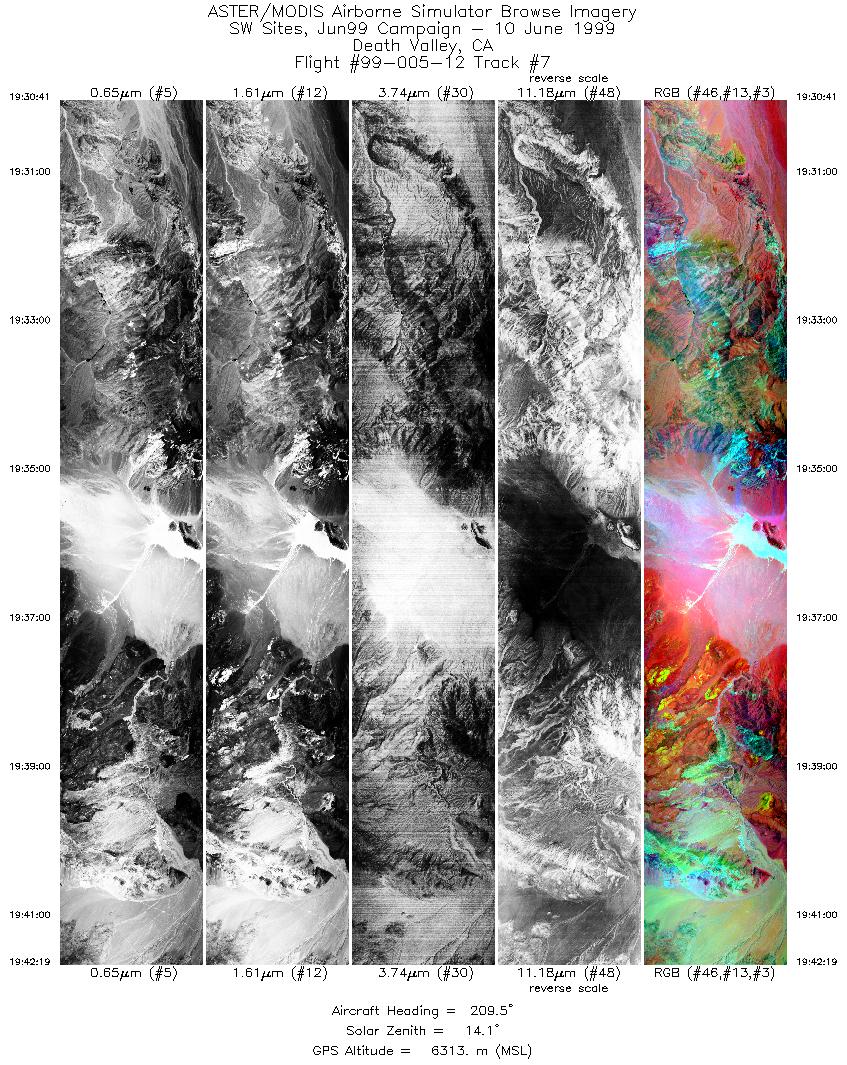
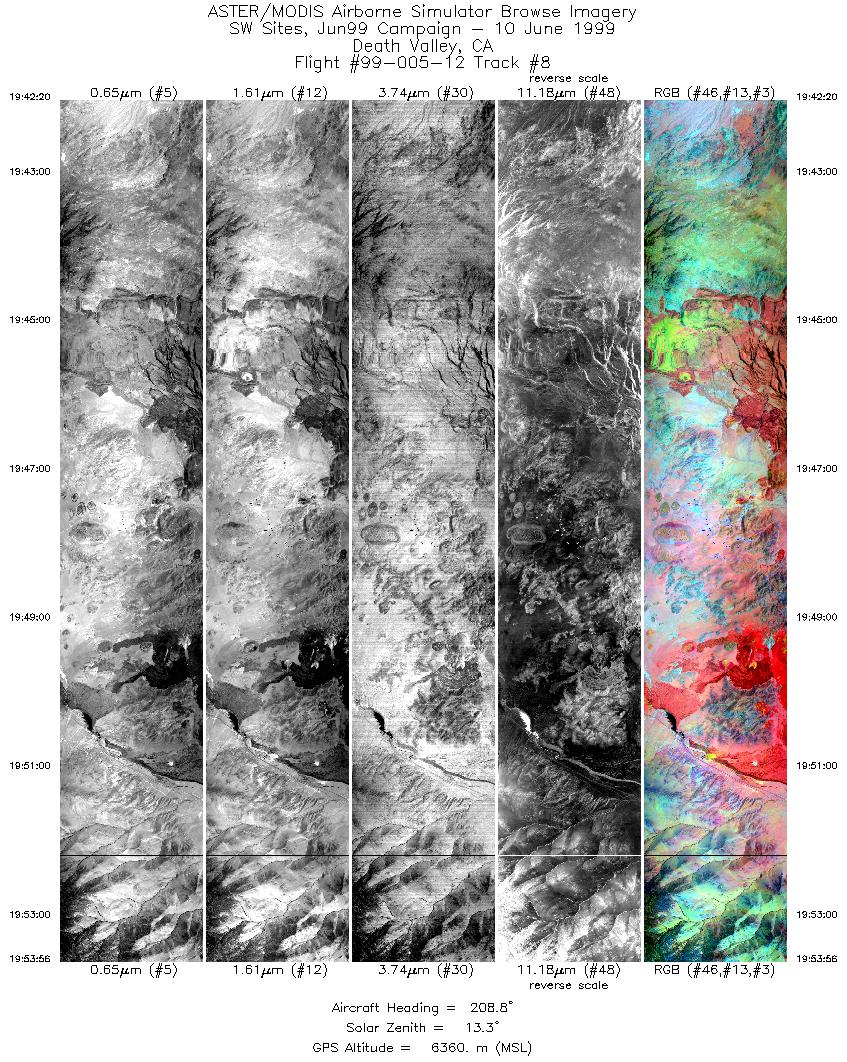
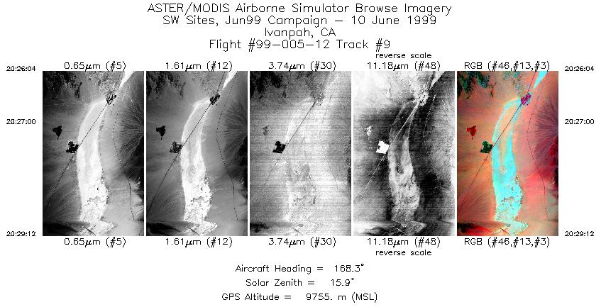
Flight: 99-005-12 Date: June 10, 1999 Aircraft: DOE B-200 Kingair Deployment: RSL June 1999 Flight Location: Death Valley and Ivanpah, CA Principal Investigator: Dr. Simon Hook (JPL) Additional Sensors: RC-30 (CIR) |
|||||||||||||||||||||||||||||||||||||||||||||||||||||||||||||||||||||||||||||||||||||||||||
|
Data Evaluation N/A |
|||||||||||||||||||||||||||||||||||||||||||||||||||||||||||||||||||||||||||||||||||||||||||
|
Processing Information Level-1B Data in HDF format is available Flight Line Summary Spectral Band Configuration Spectral Response Function Table Spectral Response Function (text) |
|||||||||||||||||||||||||||||||||||||||||||||||||||||||||||||||||||||||||||||||||||||||||||
|
Browse Imagery Flight Tracks: 9 Scanlines: 37303 |
|||||||||||||||||||||||||||||||||||||||||||||||||||||||||||||||||||||||||||||||||||||||||||
|
|||||||||||||||||||||||||||||||||||||||||||||||||||||||||||||||||||||||||||||||||||||||||||


