


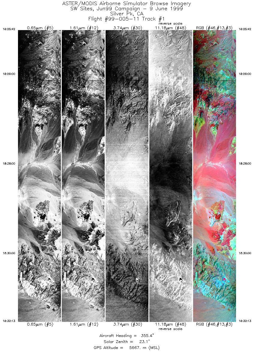
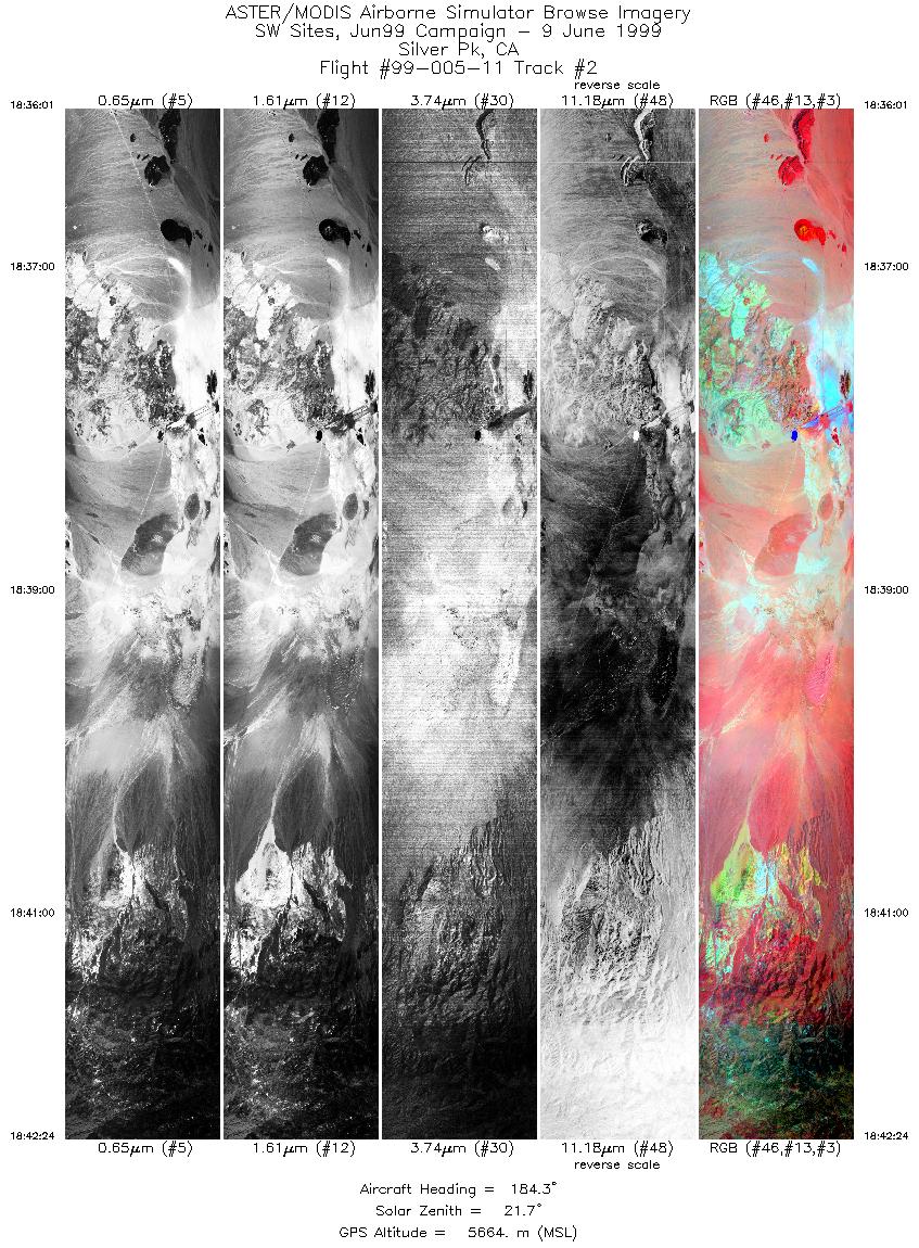
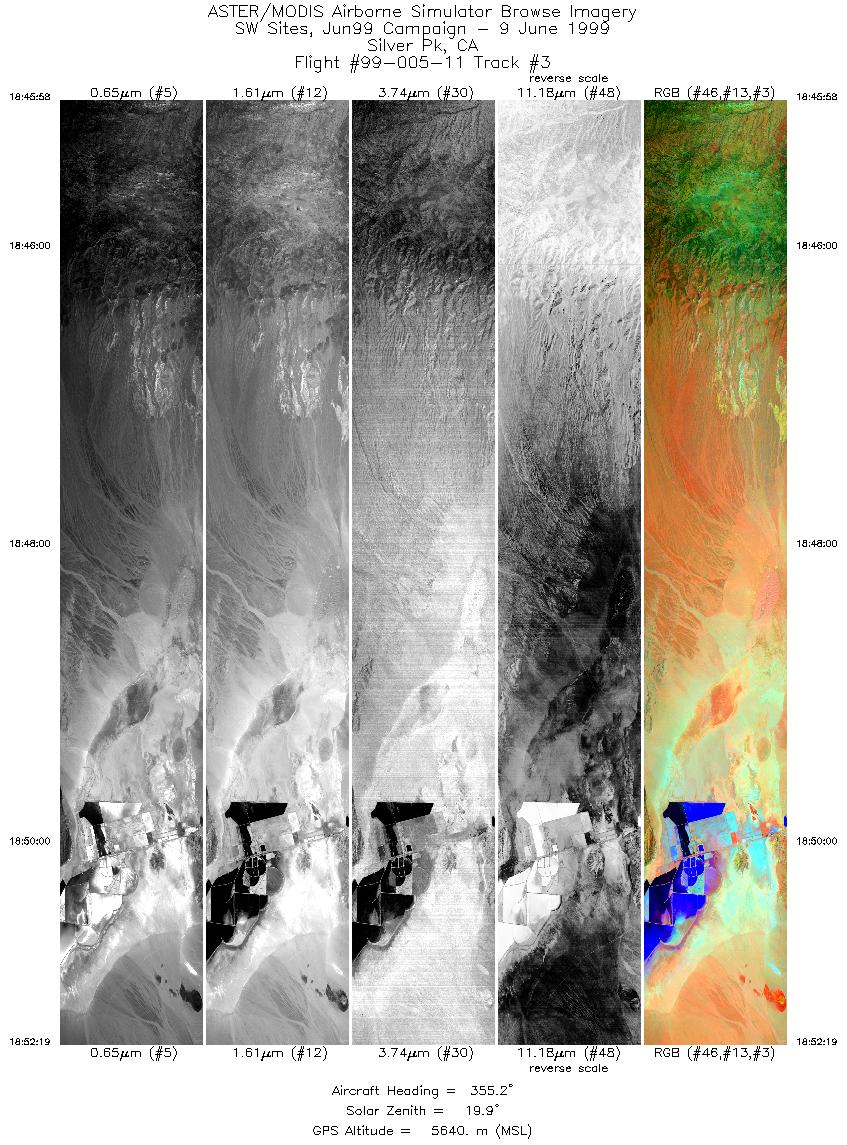
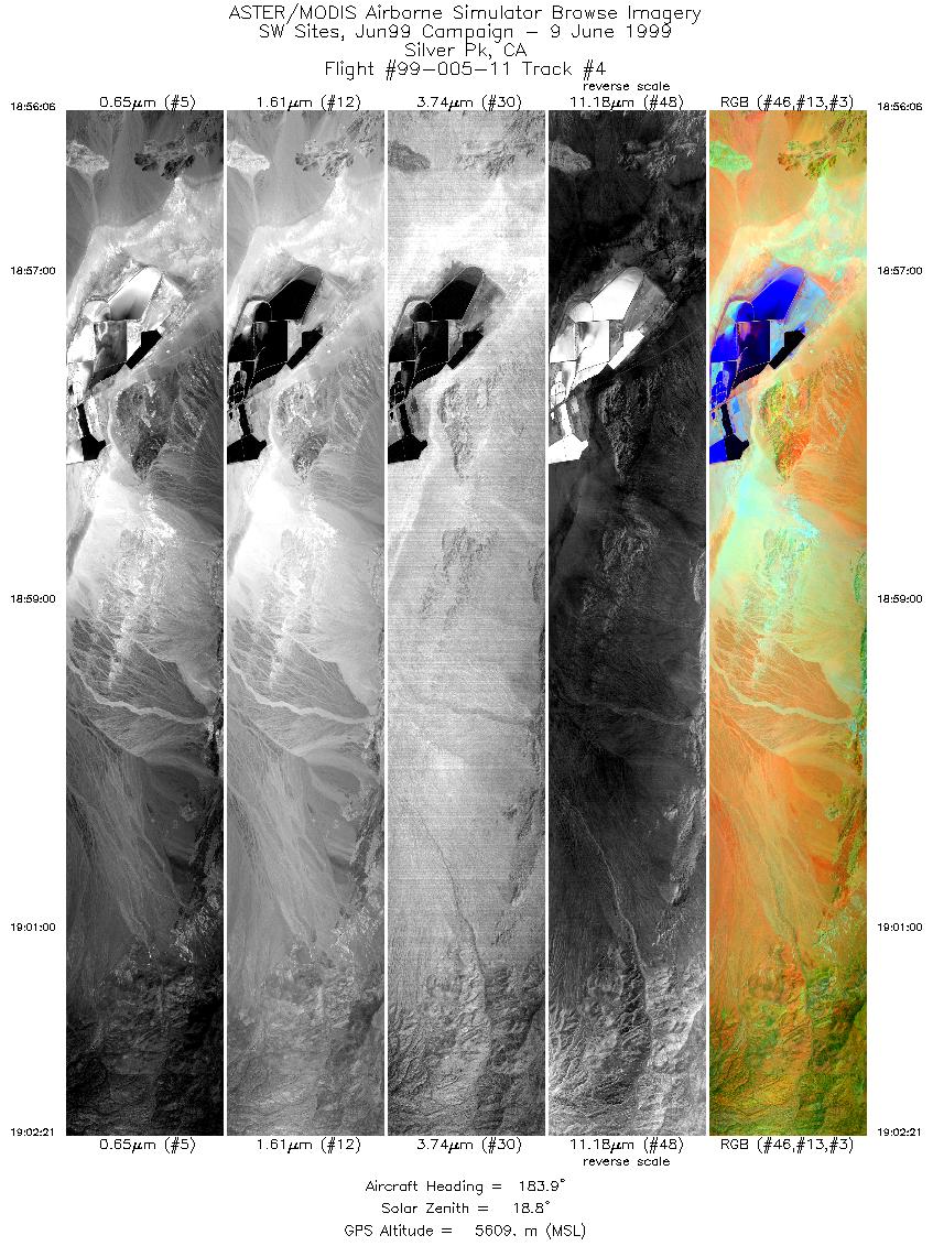
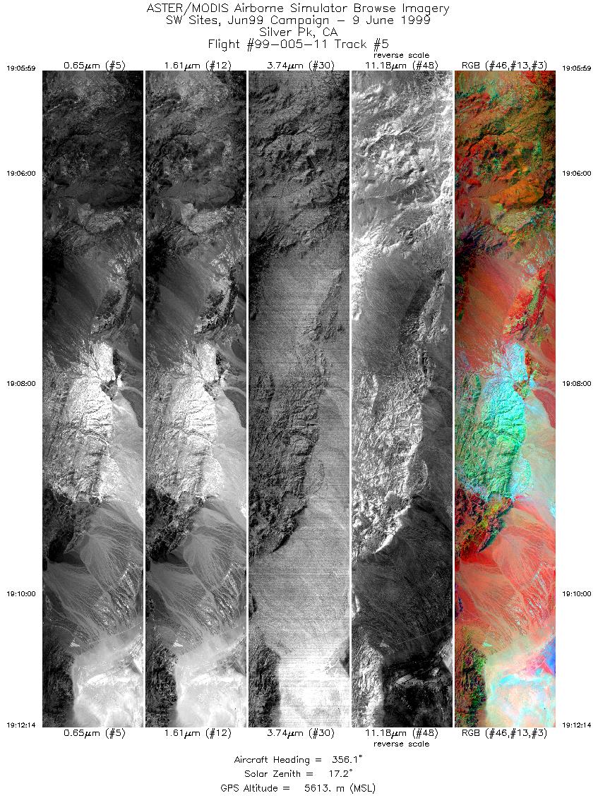
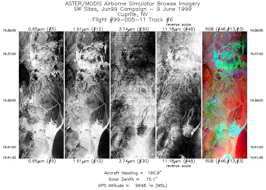
FLIGHT SUMMARY INFORMATION
Flight Track Map


|
Flight: 99-005-11 Date: June 9, 1999 Aircraft: DOE B200 Beechcraft Deployment: RSL June 1999 Flight Location: Silver Peak and Cuprite, NV Principal Investigator: Dr. Phil Christensen (USGS) Additional Sensors: 6" RC-30 (CIR) |
||||||||||||||||||||||||||||||||||||||||||||||||||||||||||||||||||||||
|
Data Evaluation N/A |
||||||||||||||||||||||||||||||||||||||||||||||||||||||||||||||||||||||
|
Processing Information Level-1B Data in HDF format is available Flight Line Summary Spectral Band Configuration Spectral Response Function Table Spectral Response Function (text) |
||||||||||||||||||||||||||||||||||||||||||||||||||||||||||||||||||||||
|
Browse Imagery Flight Tracks: 6 Scanlines: 25669 |
||||||||||||||||||||||||||||||||||||||||||||||||||||||||||||||||||||||
|
||||||||||||||||||||||||||||||||||||||||||||||||||||||||||||||||||||||


