


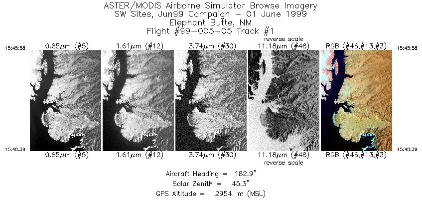
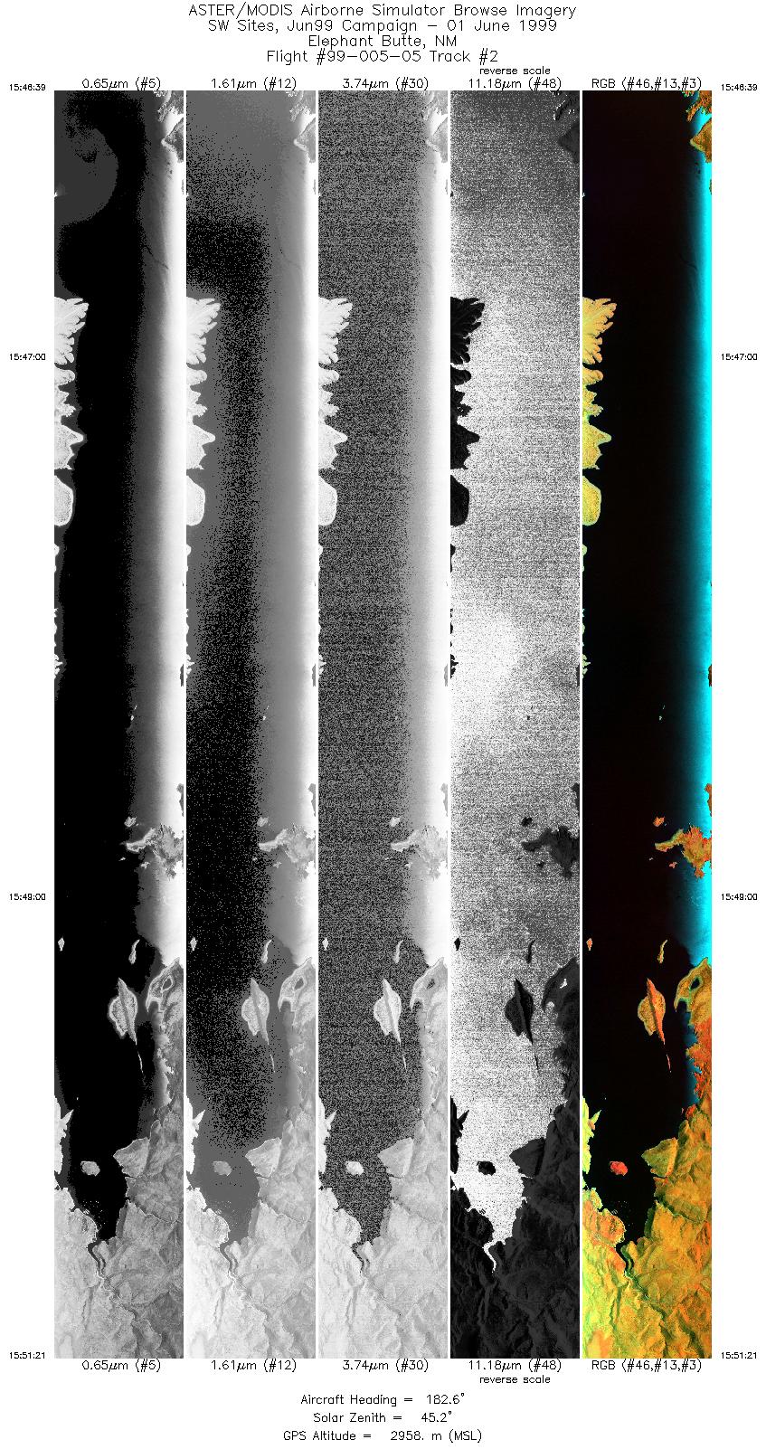
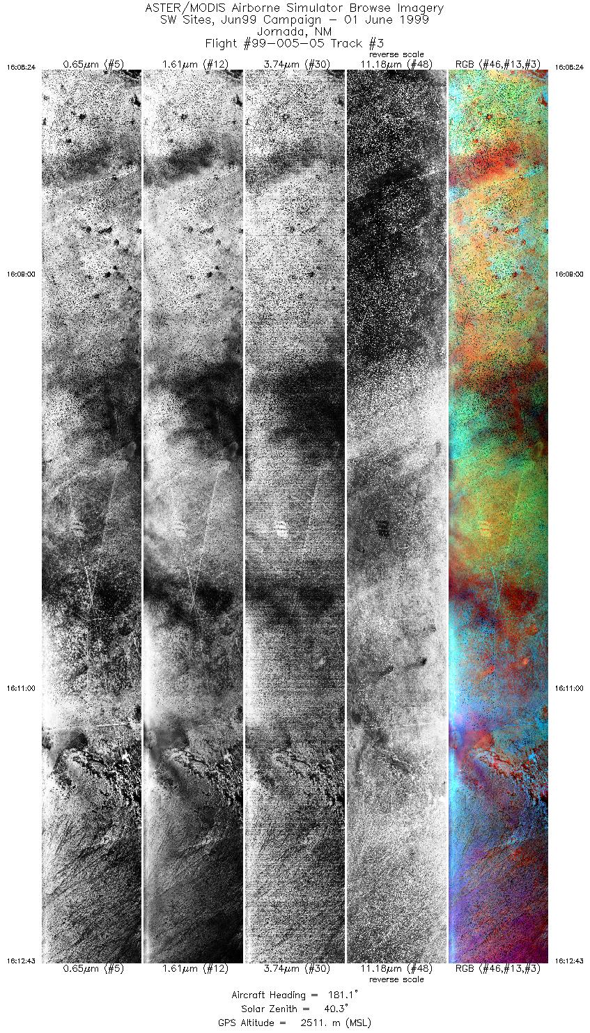
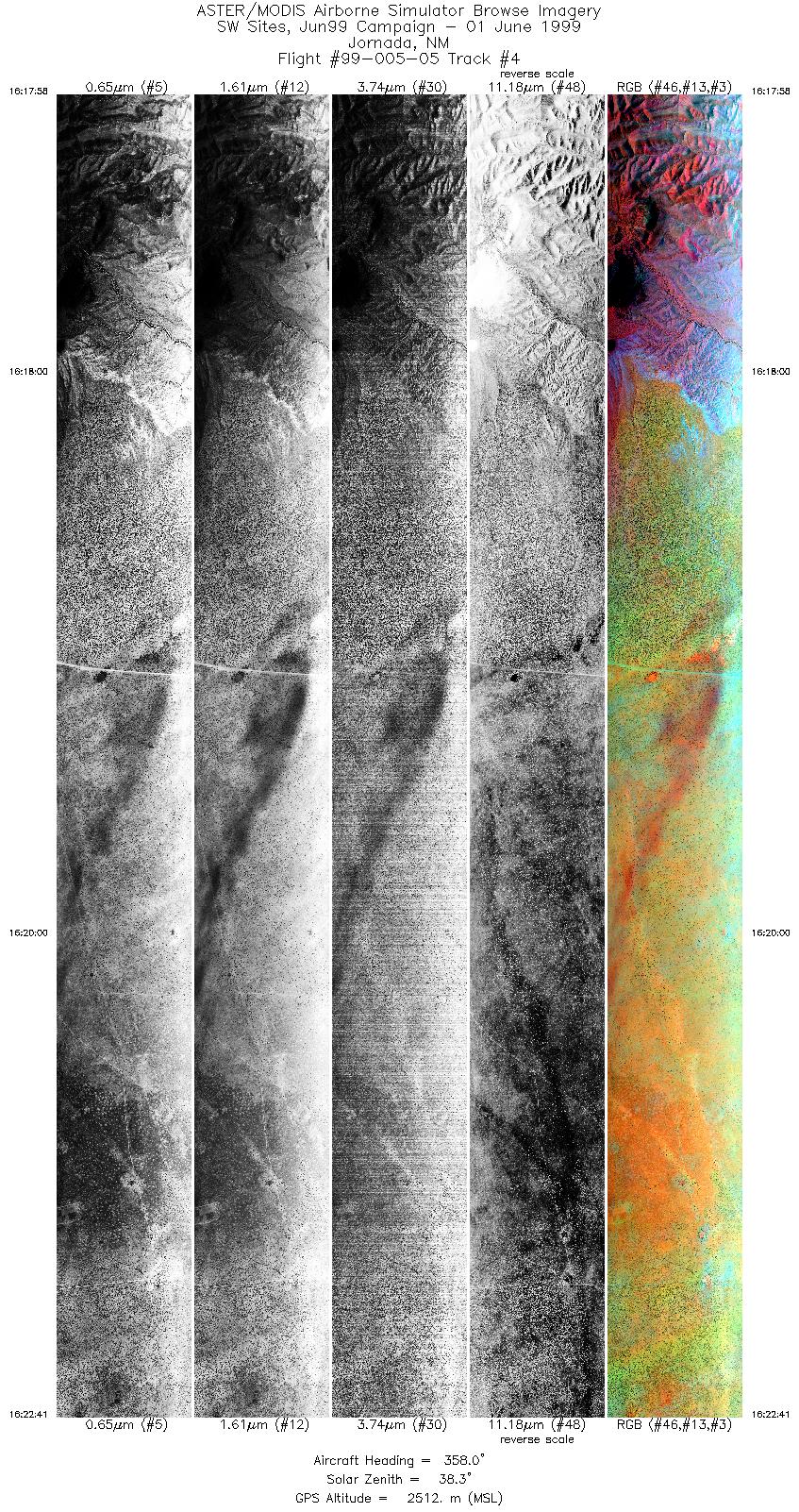
FLIGHT SUMMARY INFORMATION
Flight Track Map


|
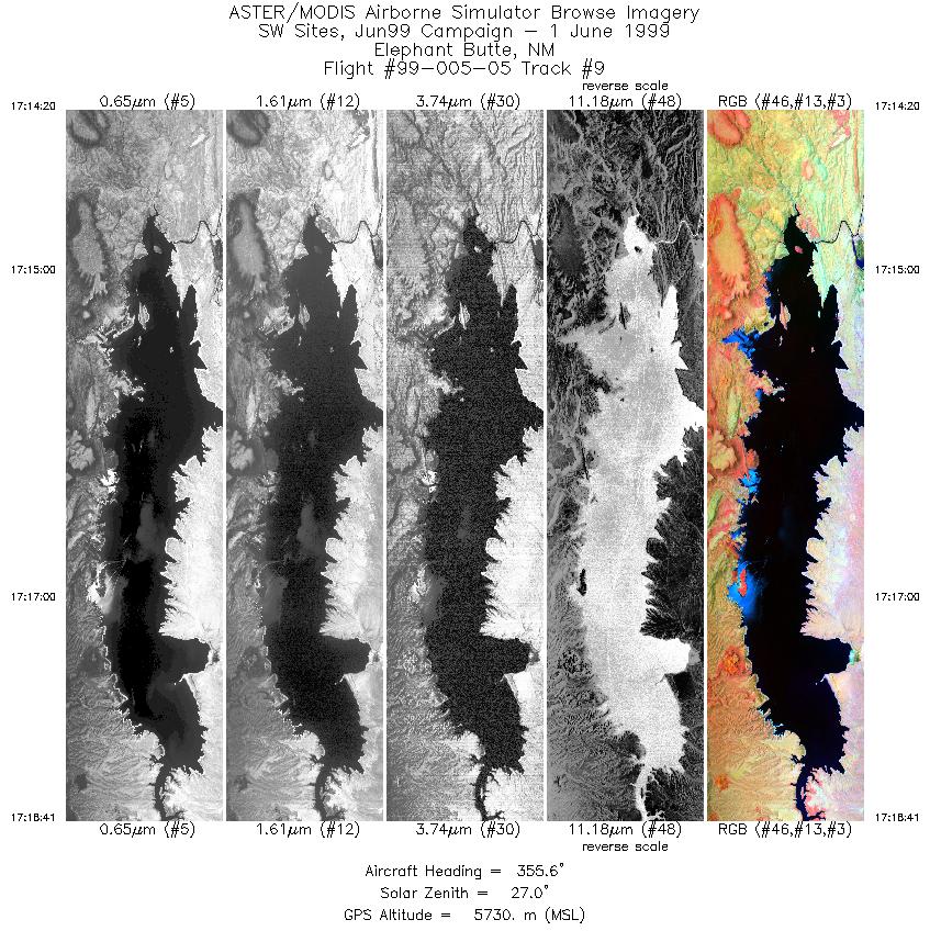
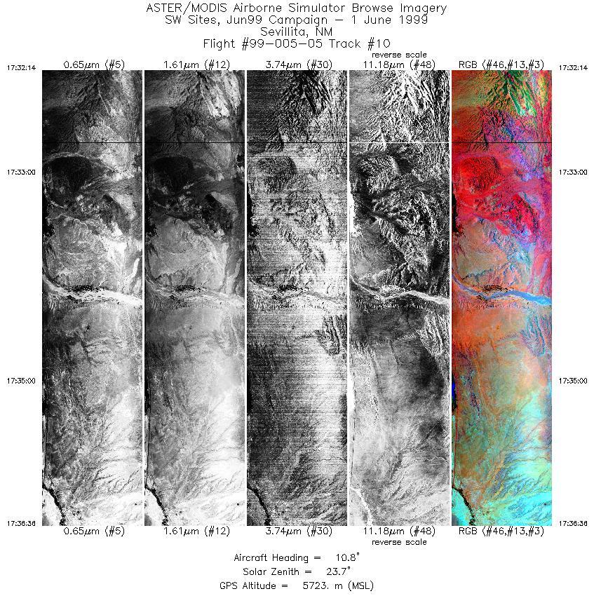
Flight: 99-005-05 Date: June 1, 1999 Aircraft: DOE B-200 Kingair Deployment: RSL June 1999 Flight Location: Jornada, Sevilleta, Elephant Butte (NM) Principal Investigator: Thomas Schmugge (USDA) Additional Sensors: RC-30 (CIR) |
||||||||||||||||||||||||||||||||||||||||||||||||||||||||||||||||||||||||||||||||||||||||||||||||||
|
Data Evaluation The time code data for tracks A through G have been corrected using an interpolation from the CPU time source. |
||||||||||||||||||||||||||||||||||||||||||||||||||||||||||||||||||||||||||||||||||||||||||||||||||
|
Processing Information Level-1B Data in HDF format is available Flight Line Summary Spectral Band Configuration Spectral Response Function Table Spectral Response Function (text) |
||||||||||||||||||||||||||||||||||||||||||||||||||||||||||||||||||||||||||||||||||||||||||||||||||
|
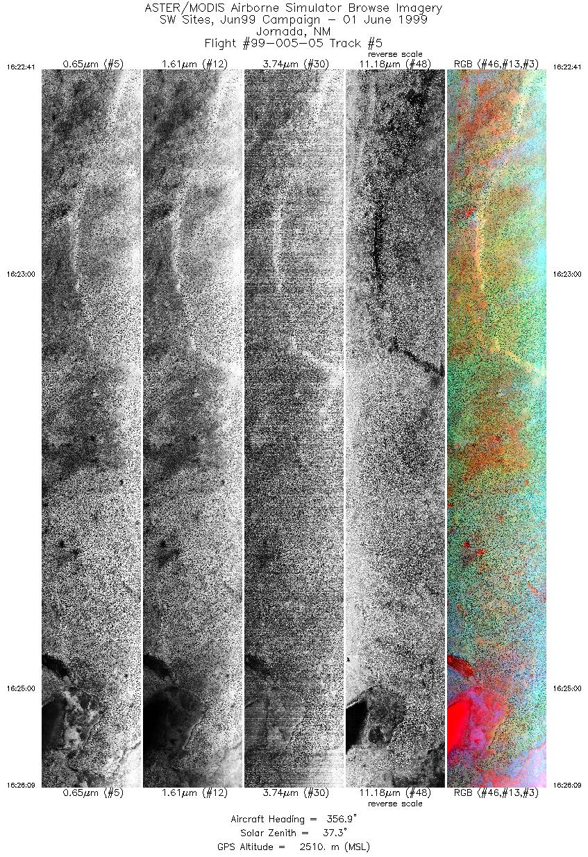
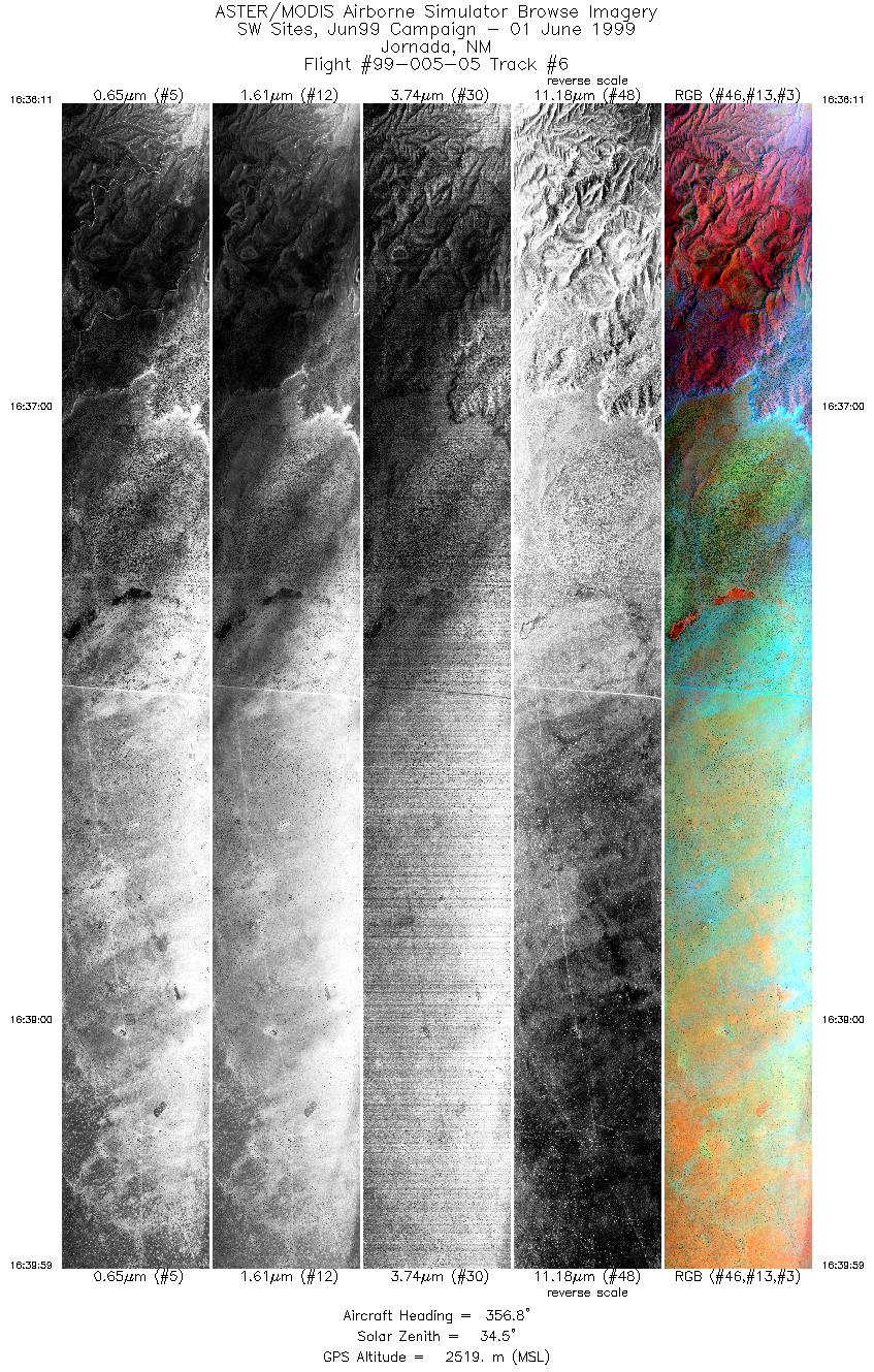
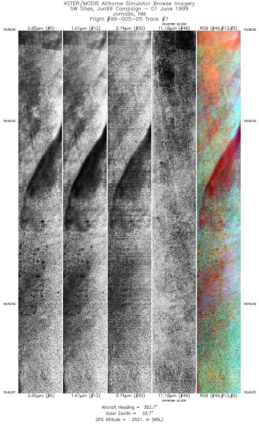
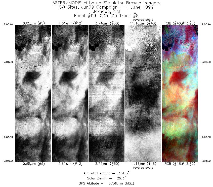
Browse Imagery Flight Tracks: 10 Scanlines: 46111 |
||||||||||||||||||||||||||||||||||||||||||||||||||||||||||||||||||||||||||||||||||||||||||||||||||
|
||||||||||||||||||||||||||||||||||||||||||||||||||||||||||||||||||||||||||||||||||||||||||||||||||


