


FLIGHT SUMMARY INFORMATION
Flight Track Map


|
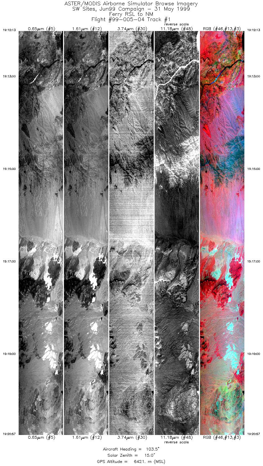
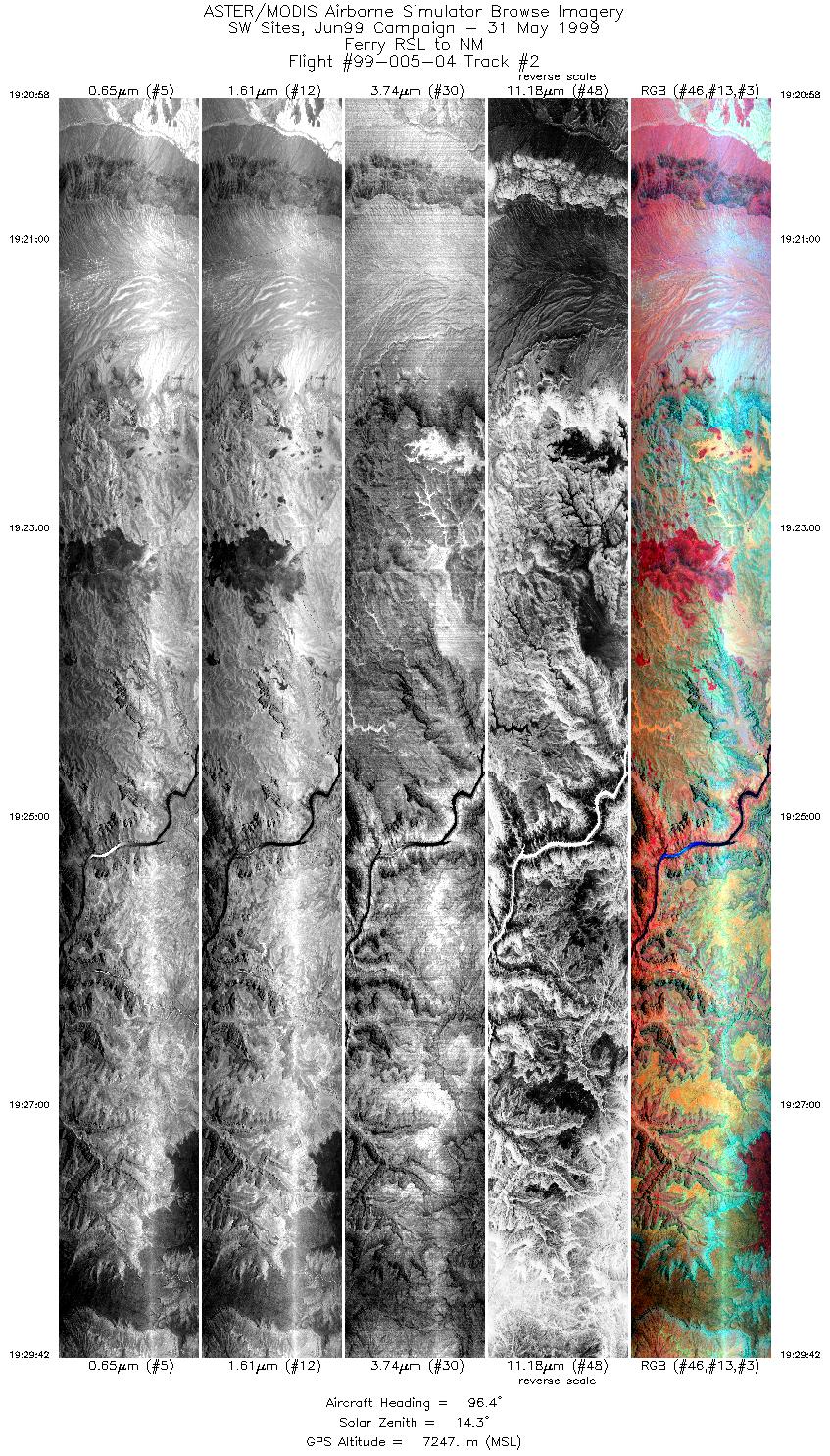
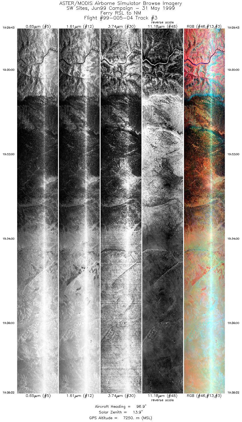
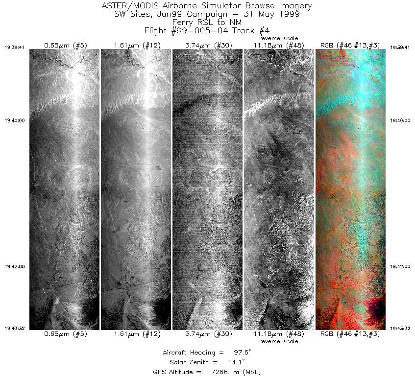
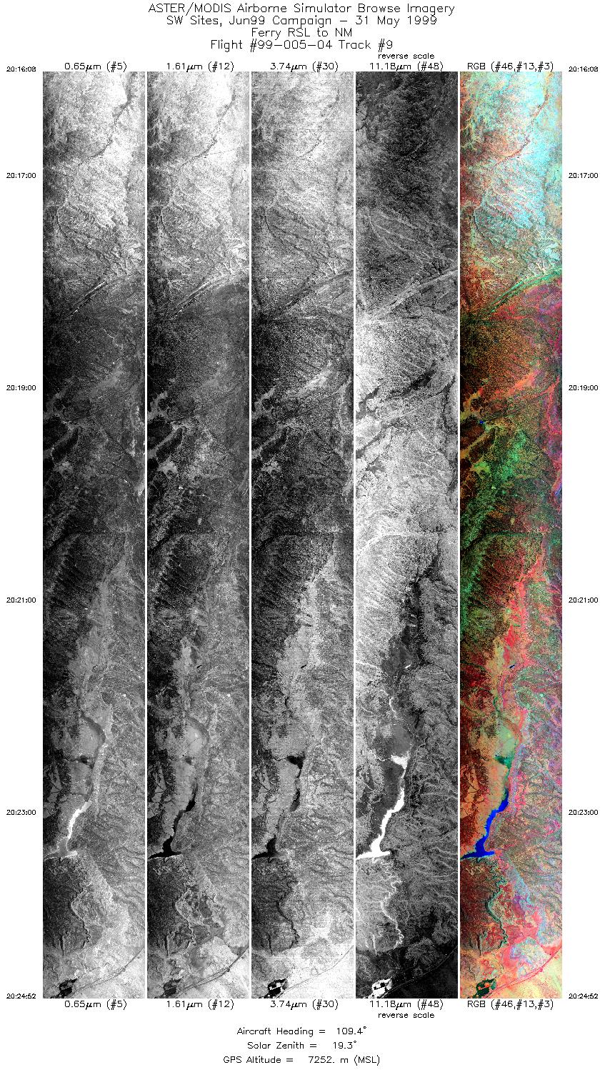
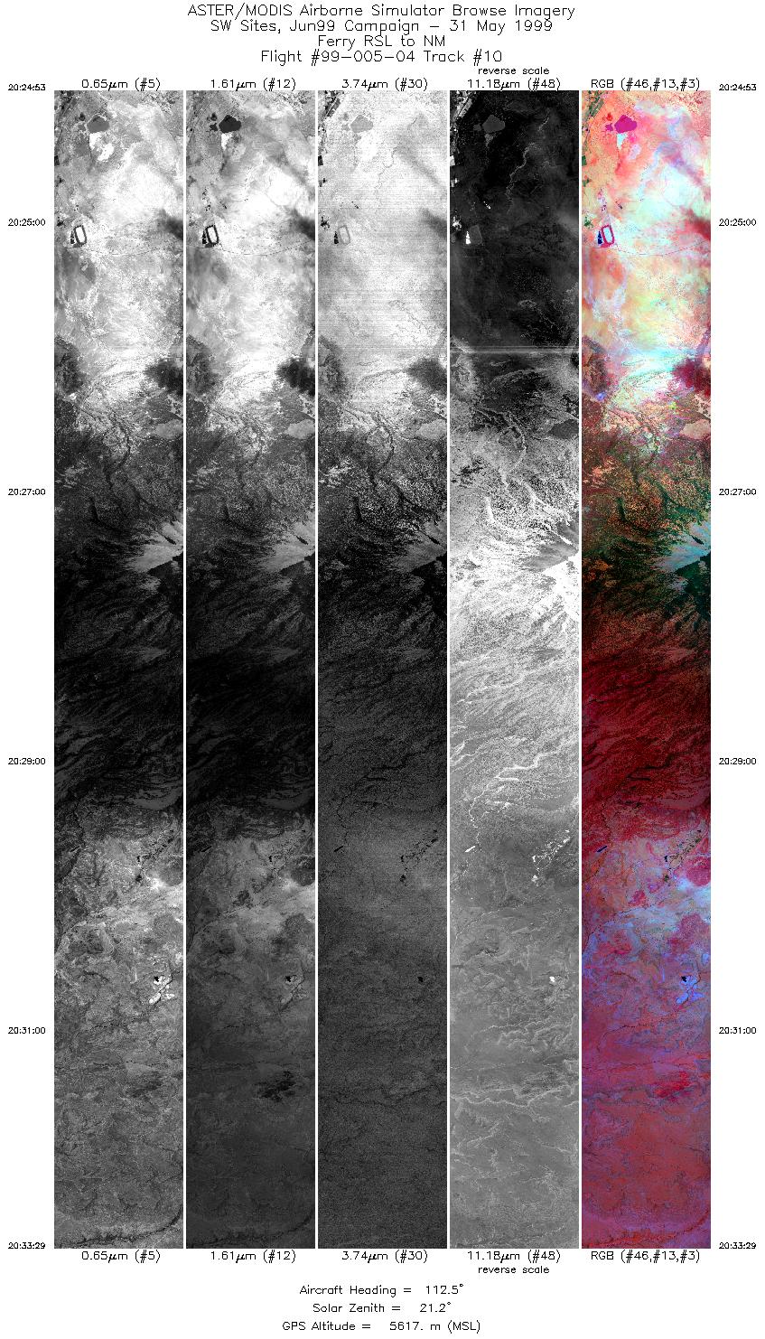
Flight: 99-005-04 Date: May 31, 1999 Aircraft: DOE B-200 Kingair Deployment: RSL June 1999 Flight Location: Ferry: RSL, NV, to Albuquerque, NM Principal Investigator: Jeff Myers (ARC) Additional Sensors: none |
||||||||||||||||||||||||||||||||||||||||||||||||||||||||||||||||||||||||||||||||||||||||||||||||||
|
Data Evaluation N/A |
||||||||||||||||||||||||||||||||||||||||||||||||||||||||||||||||||||||||||||||||||||||||||||||||||
|
Processing Information Level-1B Data in HDF format is available Flight Line Summary Spectral Band Configuration Spectral Response Function Table Spectral Response Function (text) |
||||||||||||||||||||||||||||||||||||||||||||||||||||||||||||||||||||||||||||||||||||||||||||||||||
|
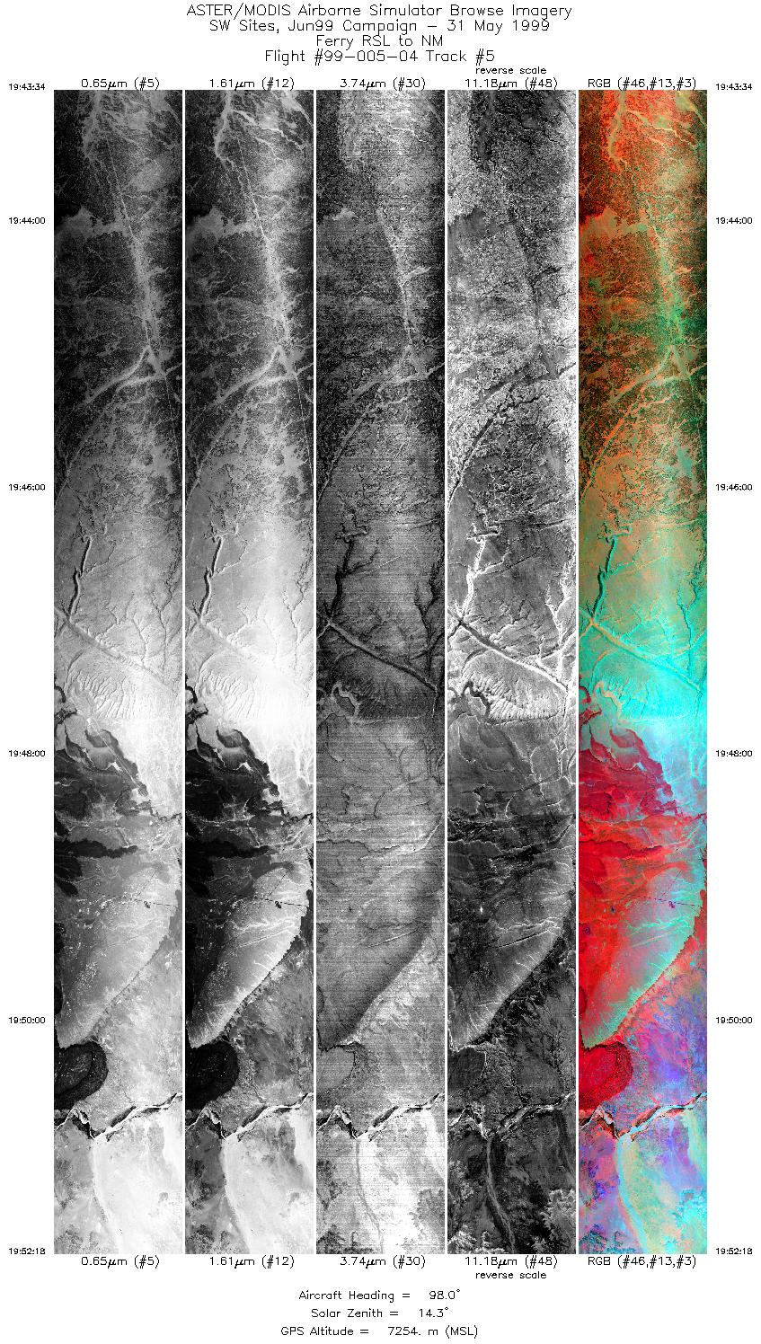
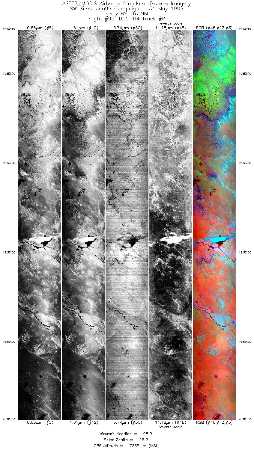
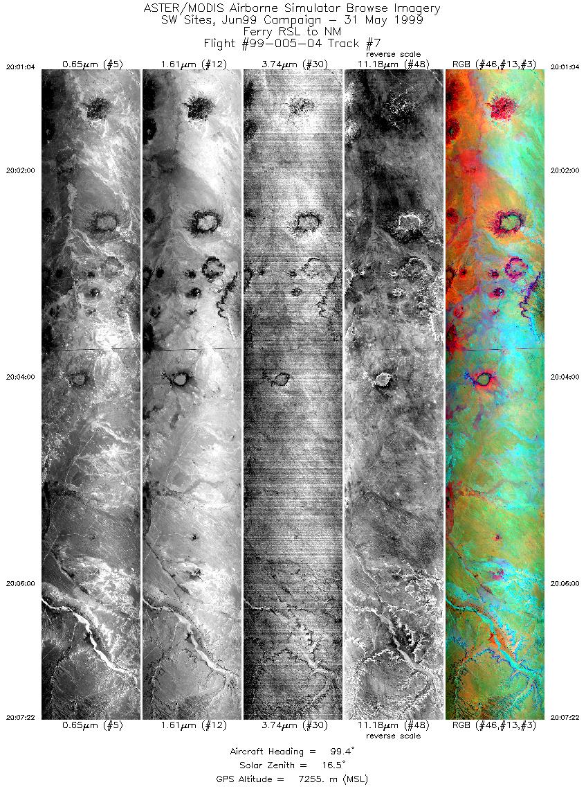
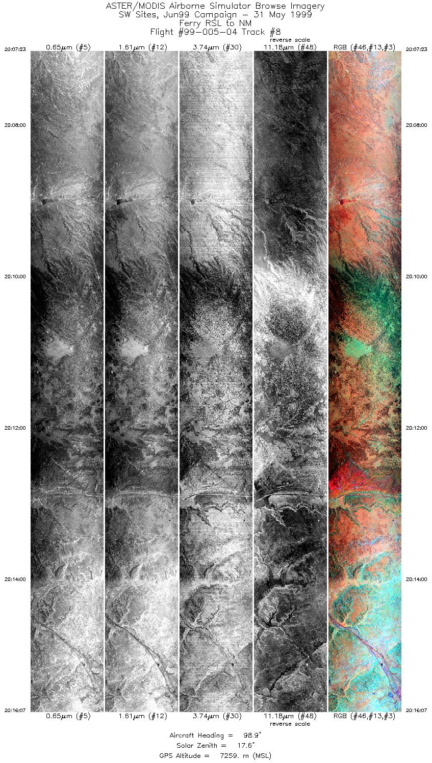
Browse Imagery Flight Tracks: 10 Scanlines: 59281 |
||||||||||||||||||||||||||||||||||||||||||||||||||||||||||||||||||||||||||||||||||||||||||||||||||
|
||||||||||||||||||||||||||||||||||||||||||||||||||||||||||||||||||||||||||||||||||||||||||||||||||


