Flight: 99-003-04
Date: May 1, 1999
Aircraft: DOE B-200 Kingair
Deployment: Baja 1999
Flight Location: Puertecitos, Baja Mexico
Principal Investigator: Stock (JPL)
Additional Sensors: RC-30 (CIR)
|
Data Evaluation
N/A
|
Processing Information
Level-1B Data in HDF format is available
Flight Line Summary
Spectral Band Configuration
Spectral Response Function Table
Spectral Response Function (text)
|
Browse Imagery
Flight Tracks: 20
Scanlines: 110226
|
Browse Imagery Table
|
Click a Flight Track number to view a quicklook image
Lat/Lon ranges are for the BEG-END scanline nadir pixels
|
Flight
Track |
Time Span
(UTC) |
Heading
(Deg) |
Lat Range
(Deg N) |
Lon Range
(Deg W) |
Length
(Scanlines) |
Altitude
(Meters) |
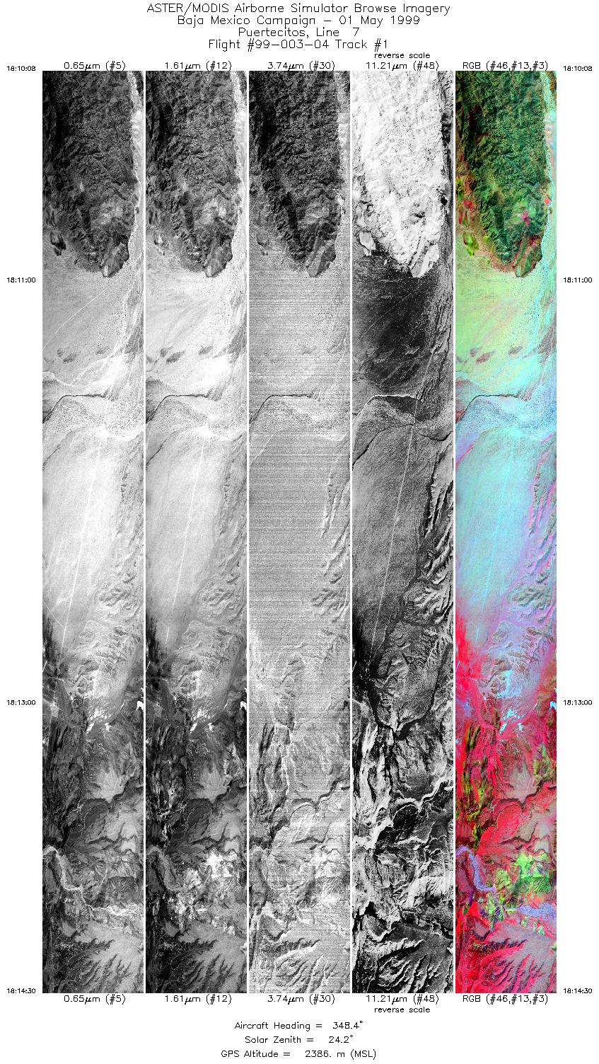
| 1 |
18:10 - 18:14 |
348.1 |
29.647 - 29.853 |
114.369 - 114.459 |
6517 |
2386 |
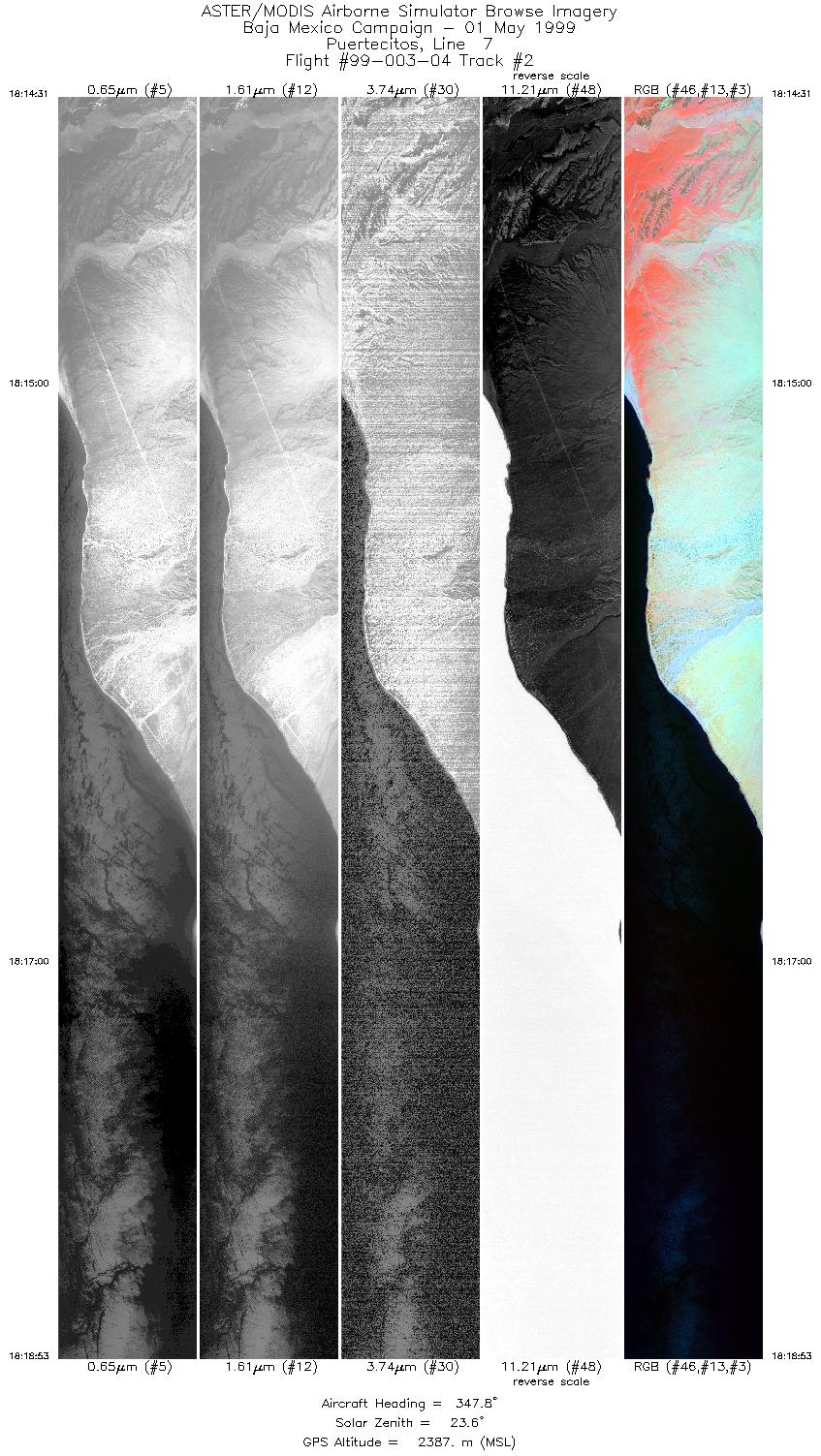
| 2 |
18:14 - 18:18 |
347.6 |
29.854 - 30.063 |
114.459 - 114.550 |
6518 |
2389 |
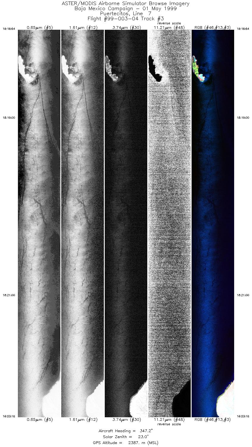
| 3 |
18:18 - 18:23 |
347.0 |
30.063 - 30.272 |
114.550 - 114.641 |
6517 |
2388 |
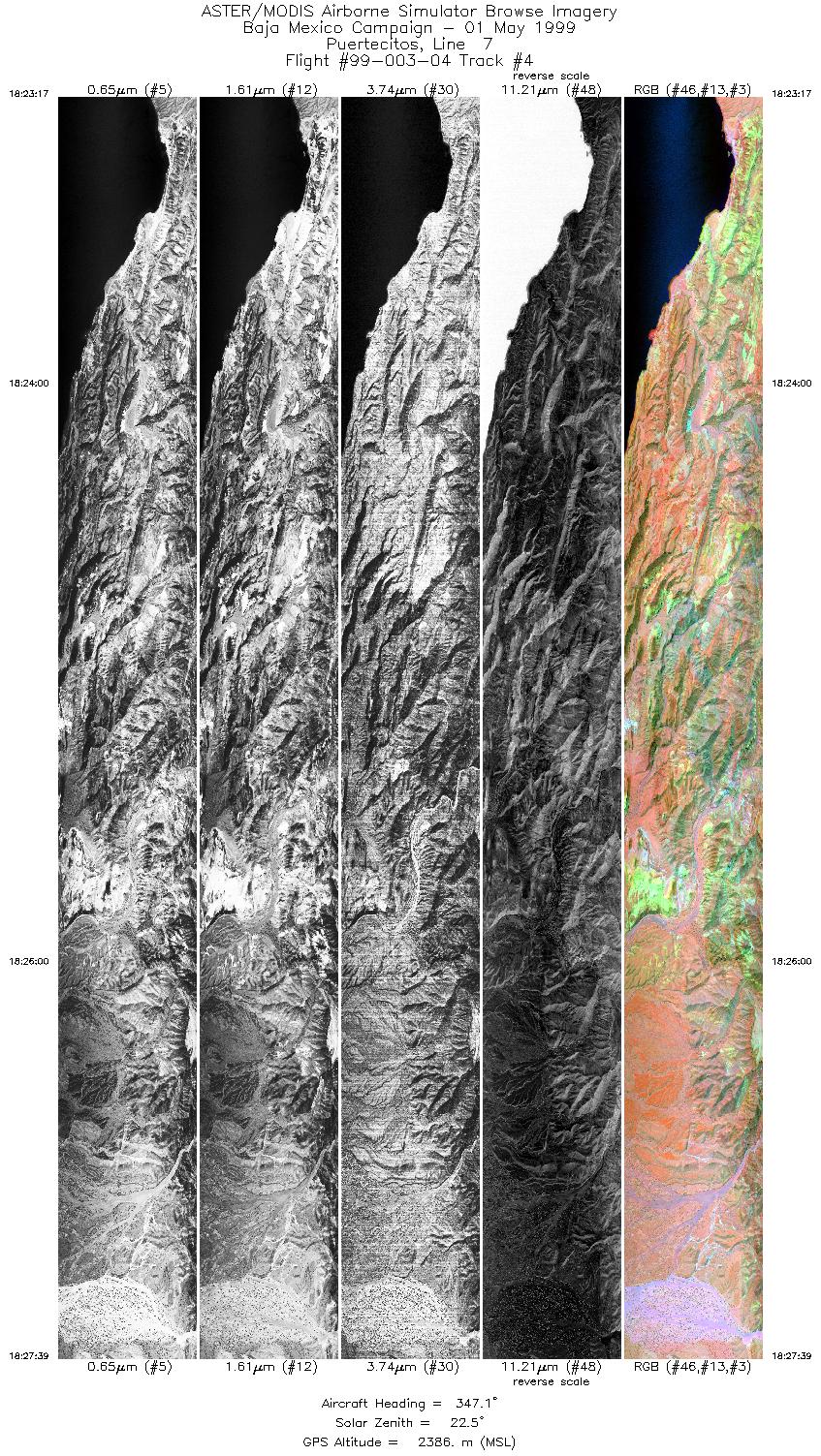
| 4 |
18:23 - 18:27 |
347.2 |
30.272 - 30.481 |
114.641 - 114.731 |
6516 |
2385 |
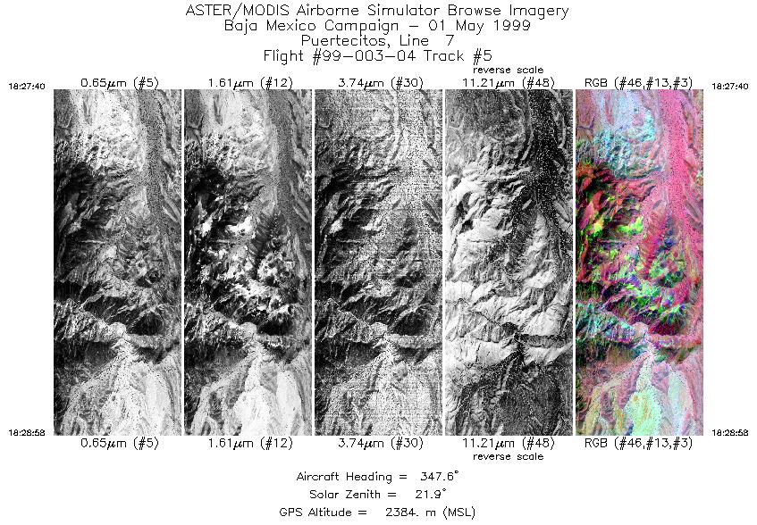
| 5 |
18:27 - 18:28 |
347.3 |
30.482 - 30.544 |
114.732 - 114.759 |
1941 |
2385 |
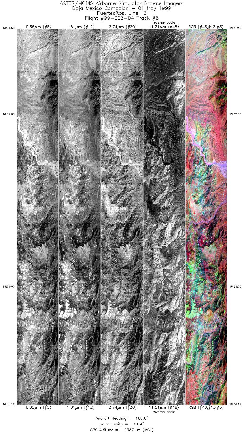
| 6 |
18:31 - 18:36 |
166.6 |
30.549 - 30.333 |
114.785 - 114.692 |
6516 |
2388 |
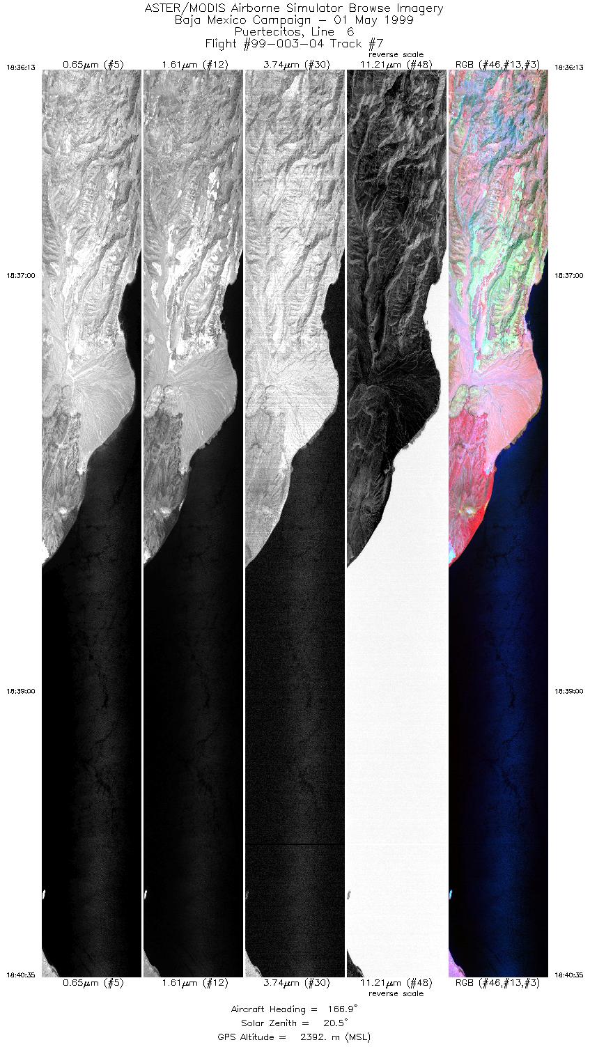
| 7 |
18:36 - 18:40 |
167.3 |
30.333 - 30.115 |
114.691 - 114.597 |
6515 |
2390 |
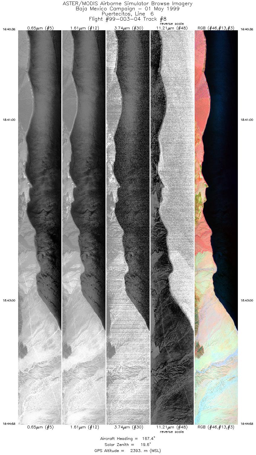
| 8 |
18:40 - 18:44 |
167.8 |
30.114 - 29.895 |
114.596 - 114.501 |
6516 |
2389 |
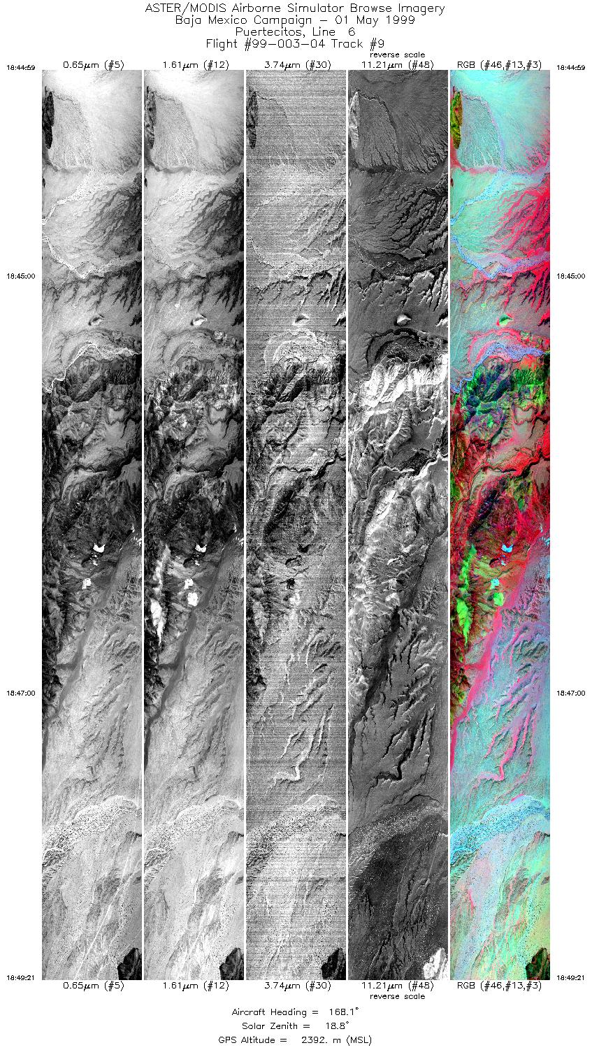
| 9 |
18:44 - 18:49 |
168.2 |
29.894 - 29.675 |
114.501 - 114.406 |
6511 |
2392 |
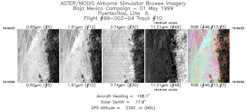
| 10 |
18:49 - 18:49 |
166.5 |
29.675 - 29.644 |
114.405 - 114.392 |
920 |
2393 |
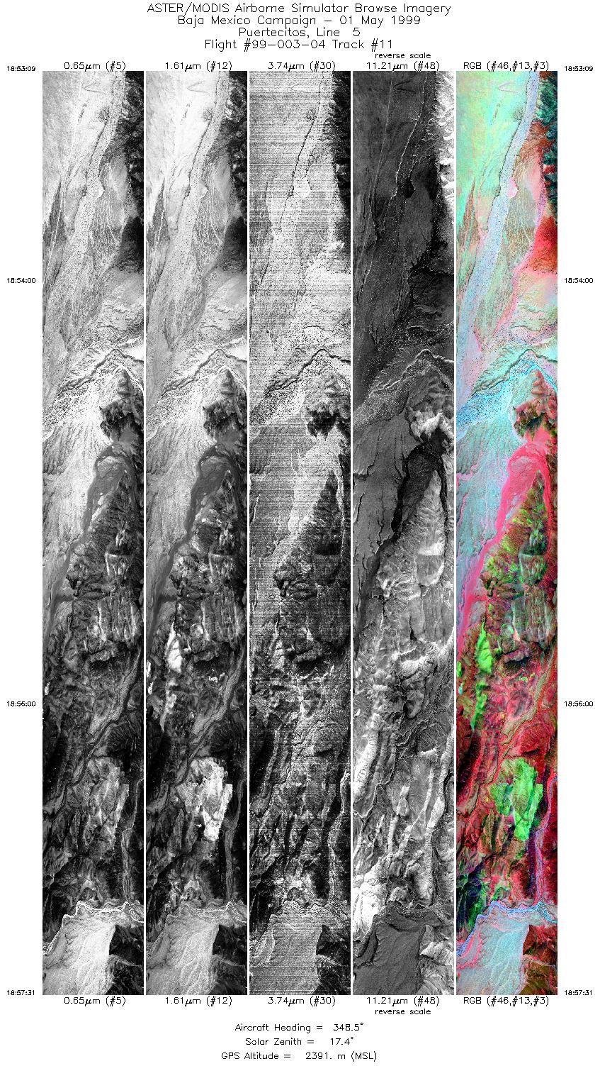
| 11 |
18:53 - 18:57 |
348.1 |
29.632 - 29.832 |
114.411 - 114.498 |
6516 |
2391 |
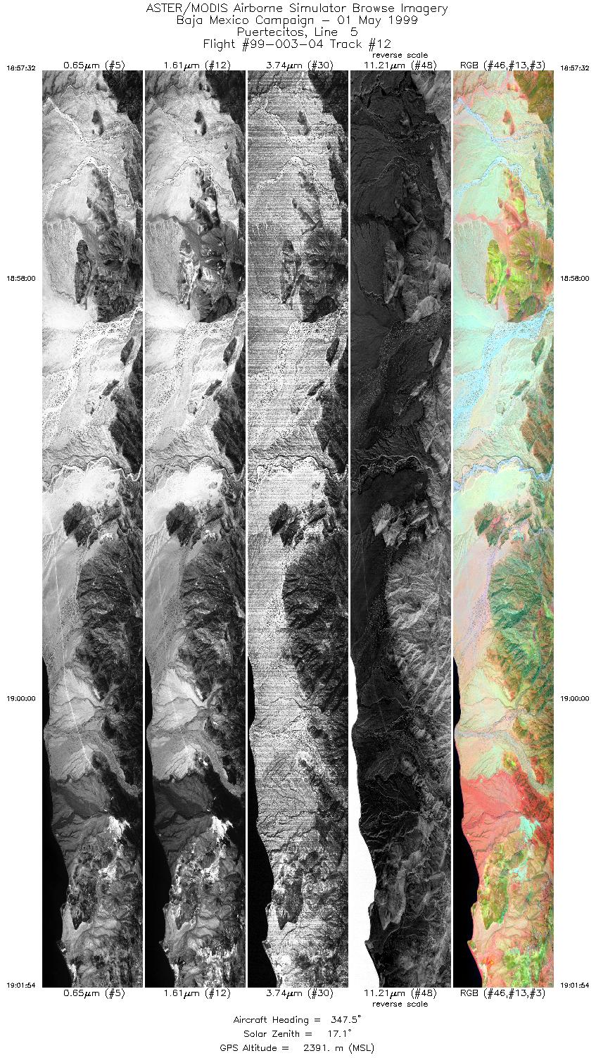
| 12 |
18:57 - 19:01 |
347.4 |
29.833 - 30.033 |
114.498 - 114.585 |
6515 |
2391 |
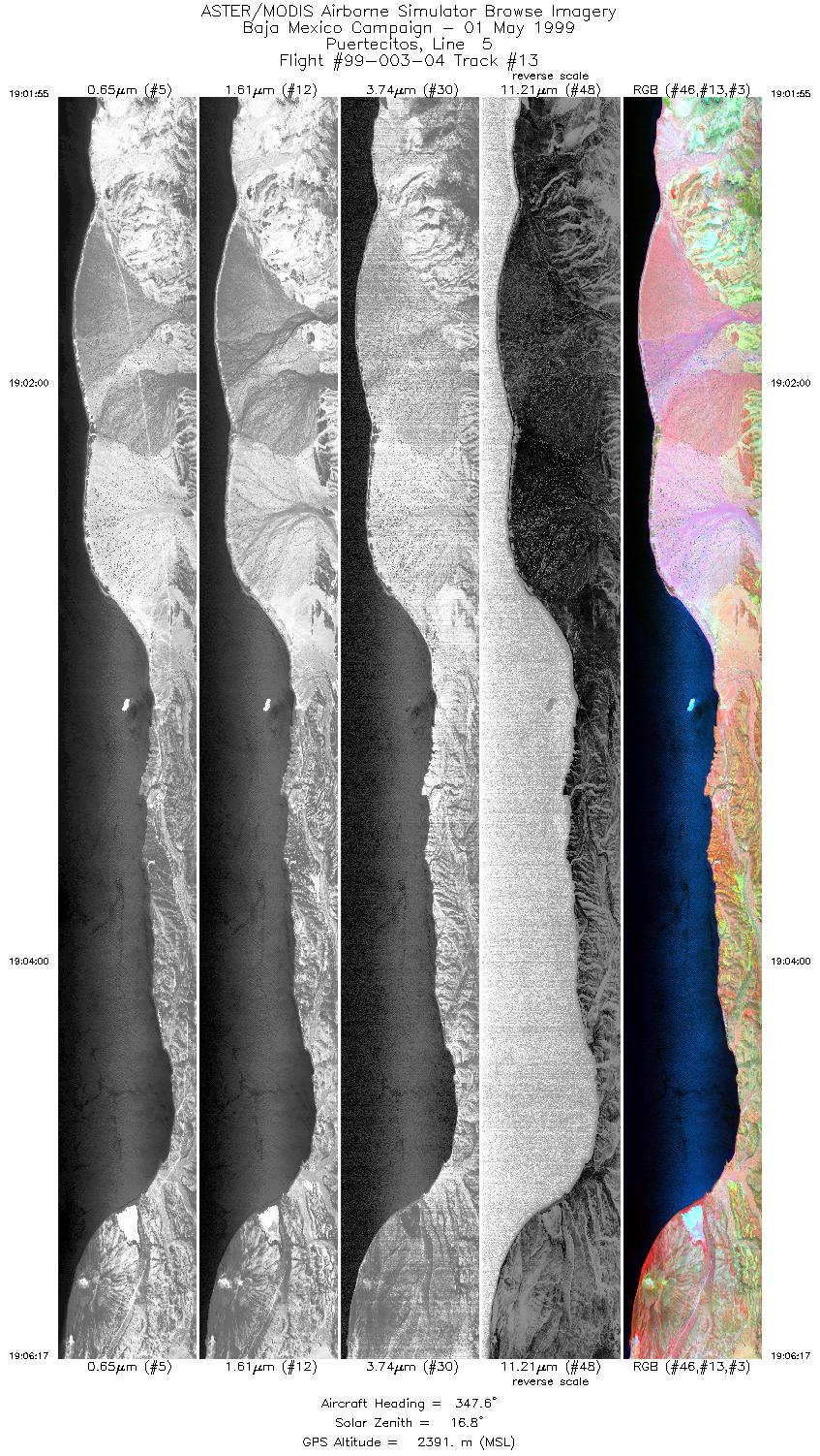
| 13 |
19:01 - 19:06 |
347.7 |
30.034 - 30.236 |
114.585 - 114.673 |
6513 |
2391 |
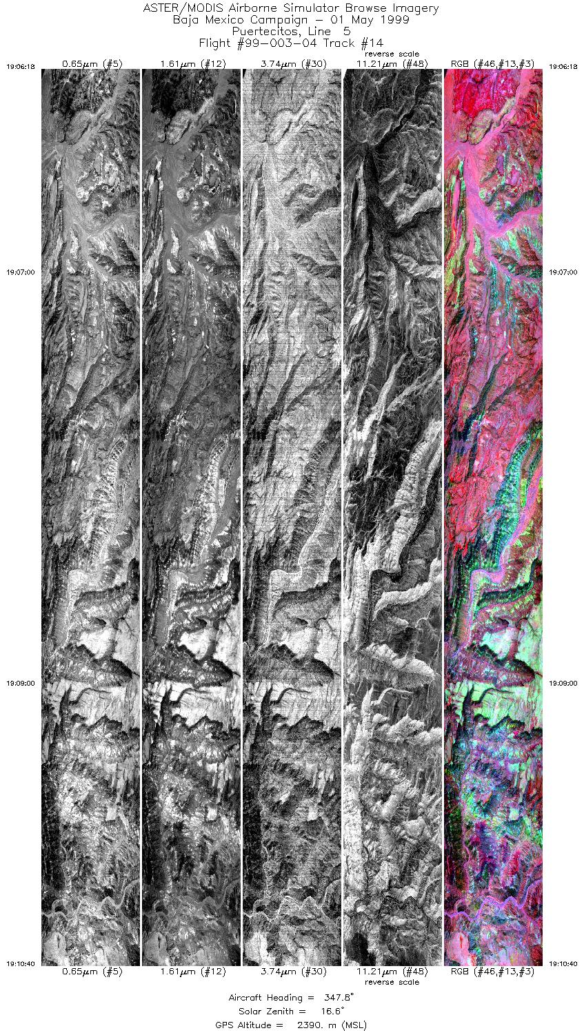
| 14 |
19:06 - 19:10 |
347.6 |
30.237 - 30.441 |
114.673 - 114.762 |
6512 |
2394 |
| 15 |
19:10 - 19:12 |
347.0 |
30.442 - 30.511 |
114.762 - 114.792 |
2189 |
2391 |
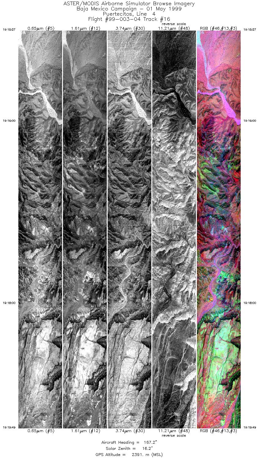
| 16 |
19:15 - 19:19 |
166.9 |
30.531 - 30.320 |
114.825 - 114.733 |
6509 |
2390 |
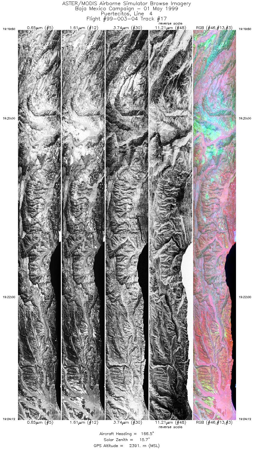
| 17 |
19:19 - 19:24 |
167.4 |
30.319 - 30.103 |
114.733 - 114.639 |
6513 |
2391 |
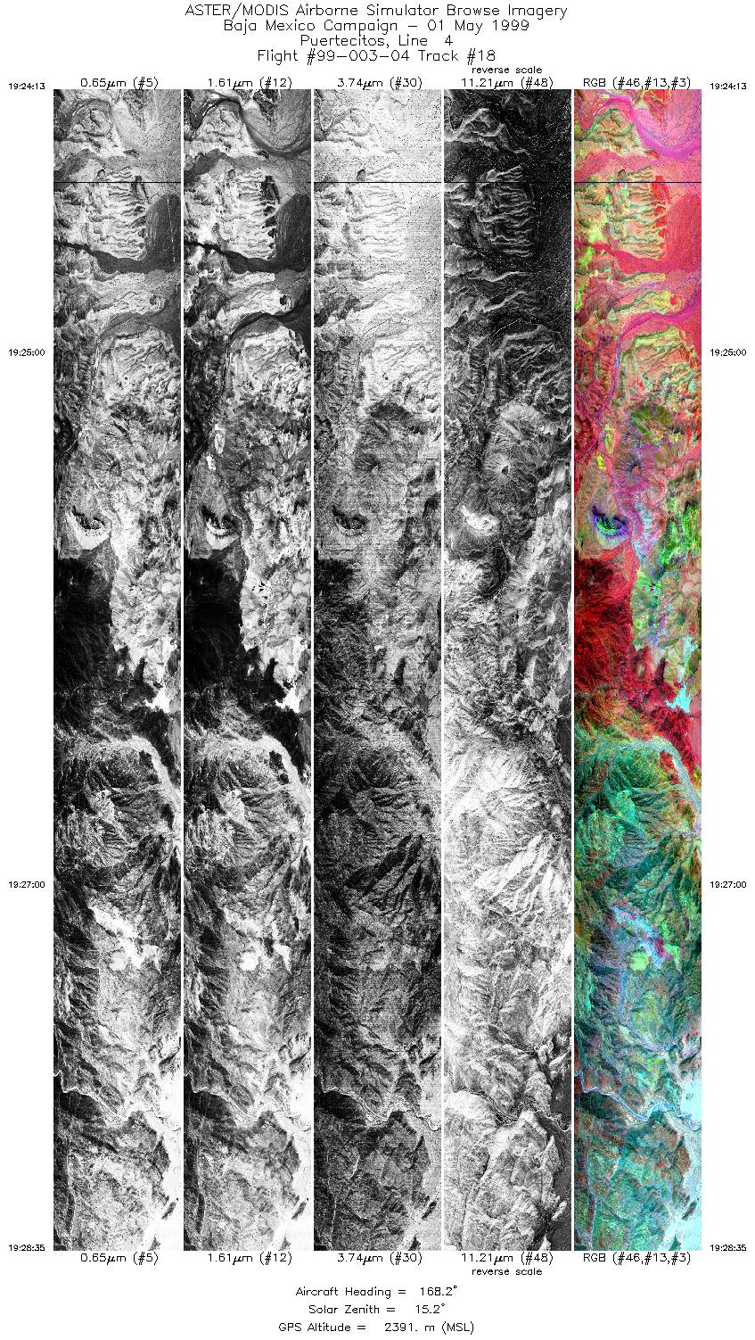
| 18 |
19:24 - 19:28 |
168.0 |
30.102 - 29.886 |
114.639 - 114.545 |
6512 |
2390 |
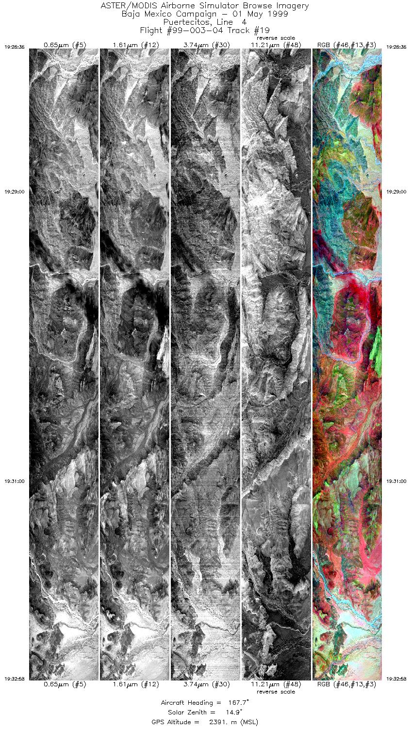
| 19 |
19:28 - 19:32 |
167.5 |
29.885 - 29.667 |
114.544 - 114.450 |
6514 |
2390 |
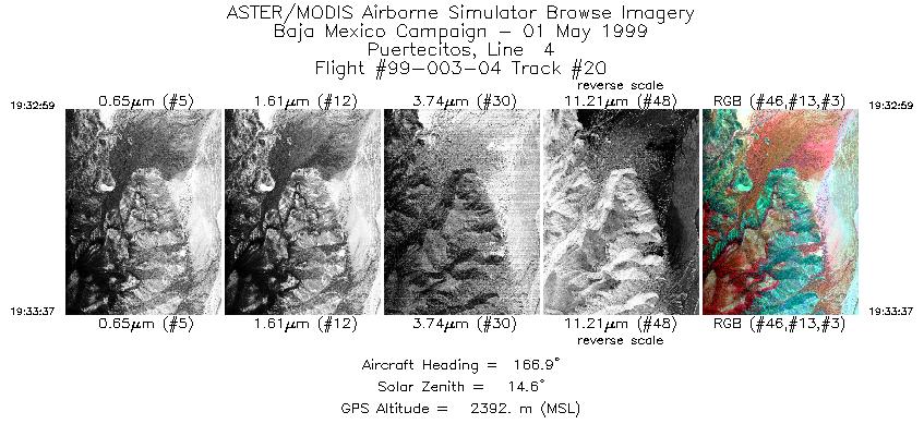
| 20 |
19:32 - 19:33 |
166.7 |
29.666 - 29.634 |
114.450 - 114.436 |
946 |
2392 |
|


