Flight: 99-003-02
Date: April 29, 1999
Aircraft: DOE B-200 Kingair
Deployment: Baja 1999
Flight Location: Tres Virgenes / Puertocitos, Baja Mexico
Principal Investigator: Stock (JPL)
Additional Sensors: RC-30 (CIR)
|
Data Evaluation
N/A
|
Processing Information
Level-1B Data in HDF format is available
Flight Line Summary
Spectral Band Configuration
Spectral Response Function Table
Spectral Response Function (text)
|
Browse Imagery
Flight Tracks: 28
Scanlines: 137534
|
Browse Imagery Table
|
Click a Flight Track number to view a quicklook image
Lat/Lon ranges are for the BEG-END scanline nadir pixels
|
Flight
Track |
Time Span
(UTC) |
Heading
(Deg) |
Lat Range
(Deg N) |
Lon Range
(Deg W) |
Length
(Scanlines) |
Altitude
(Meters) |
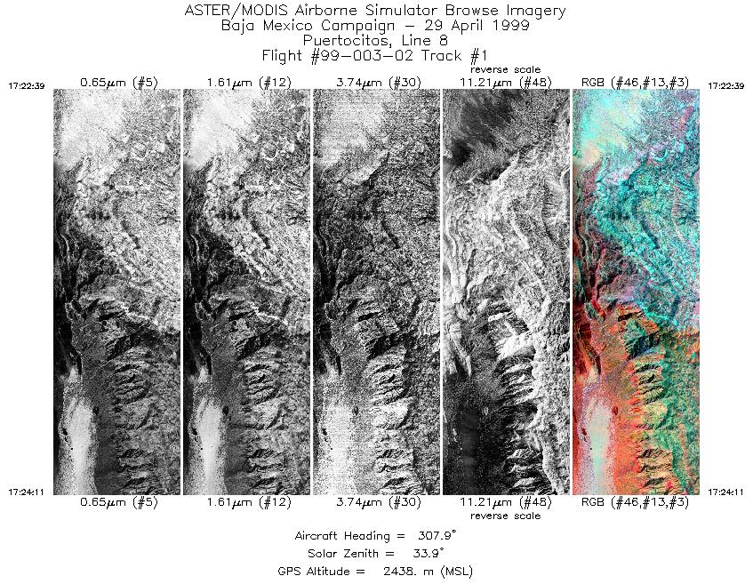
| 1 |
17:22 - 17:24 |
321.7 |
29.584 - 29.664 |
114.305 - 114.353 |
2289 |
2438 |
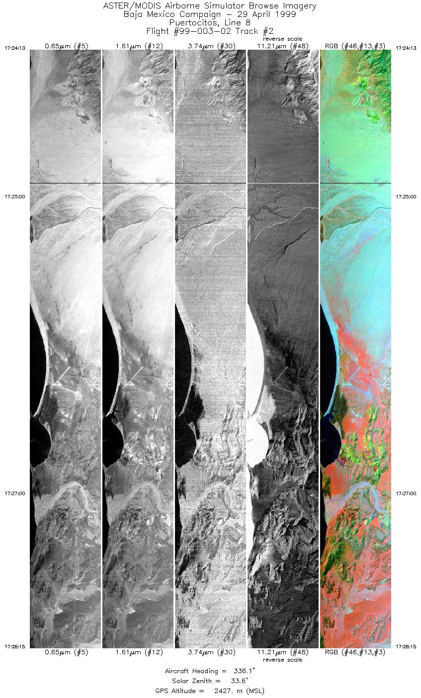
| 2 |
17:24 - 17:28 |
338.1 |
29.666 - 29.886 |
114.354 - 114.450 |
6023 |
2429 |
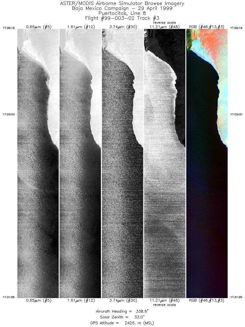
| 3 |
17:28 - 17:31 |
339.6 |
29.889 - 30.049 |
114.451 - 114.520 |
4655 |
2427 |
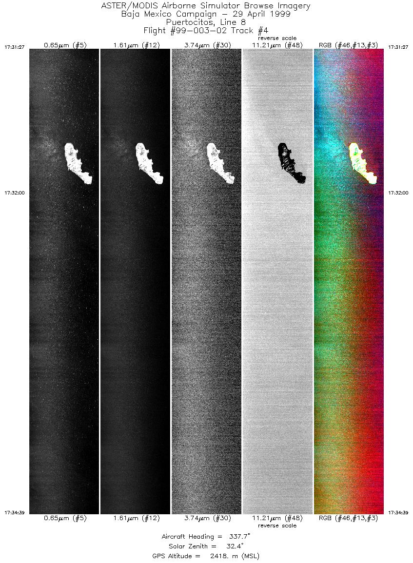
| 4 |
17:31 - 17:34 |
336.7 |
30.050 - 30.212 |
114.520 - 114.591 |
4778 |
2419 |
| 5 |
17:34 - 17:39 |
335.3 |
30.214 - 30.470 |
114.591 - 114.703 |
7316 |
2415 |
| 6 |
17:39 - 17:41 |
332.8 |
30.473 - 30.567 |
114.704 - 114.746 |
2689 |
2408 |
| 7 |
17:44 - 17:46 |
162.1 |
30.574 - 30.442 |
114.724 - 114.667 |
3704 |
2406 |
| 8 |
17:46 - 17:49 |
163.3 |
30.441 - 30.305 |
114.666 - 114.608 |
3707 |
2412 |
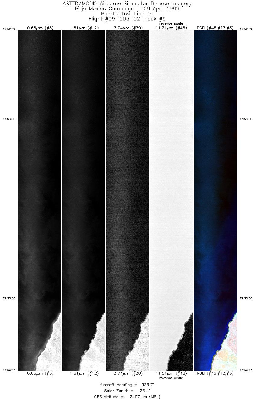
| 9 |
17:52 - 17:56 |
335.2 |
30.233 - 30.428 |
114.552 - 114.637 |
5673 |
2407 |
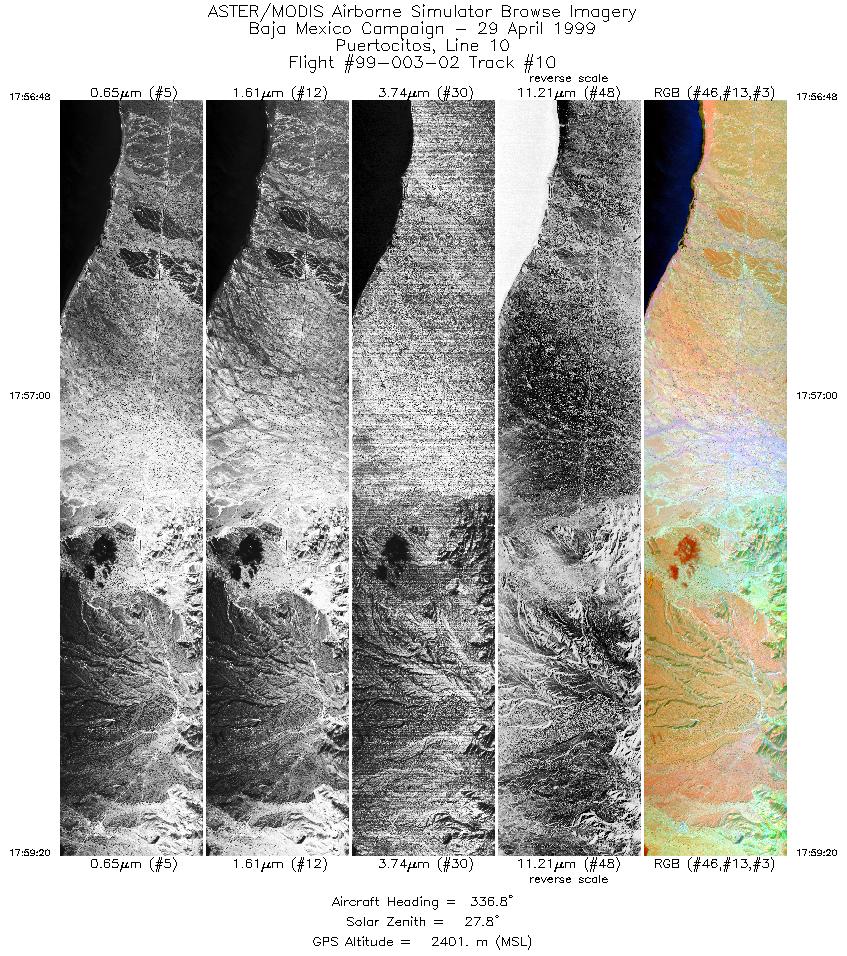
| 10 |
17:56 - 17:59 |
337.5 |
30.429 - 30.564 |
114.637 - 114.696 |
3783 |
2402 |
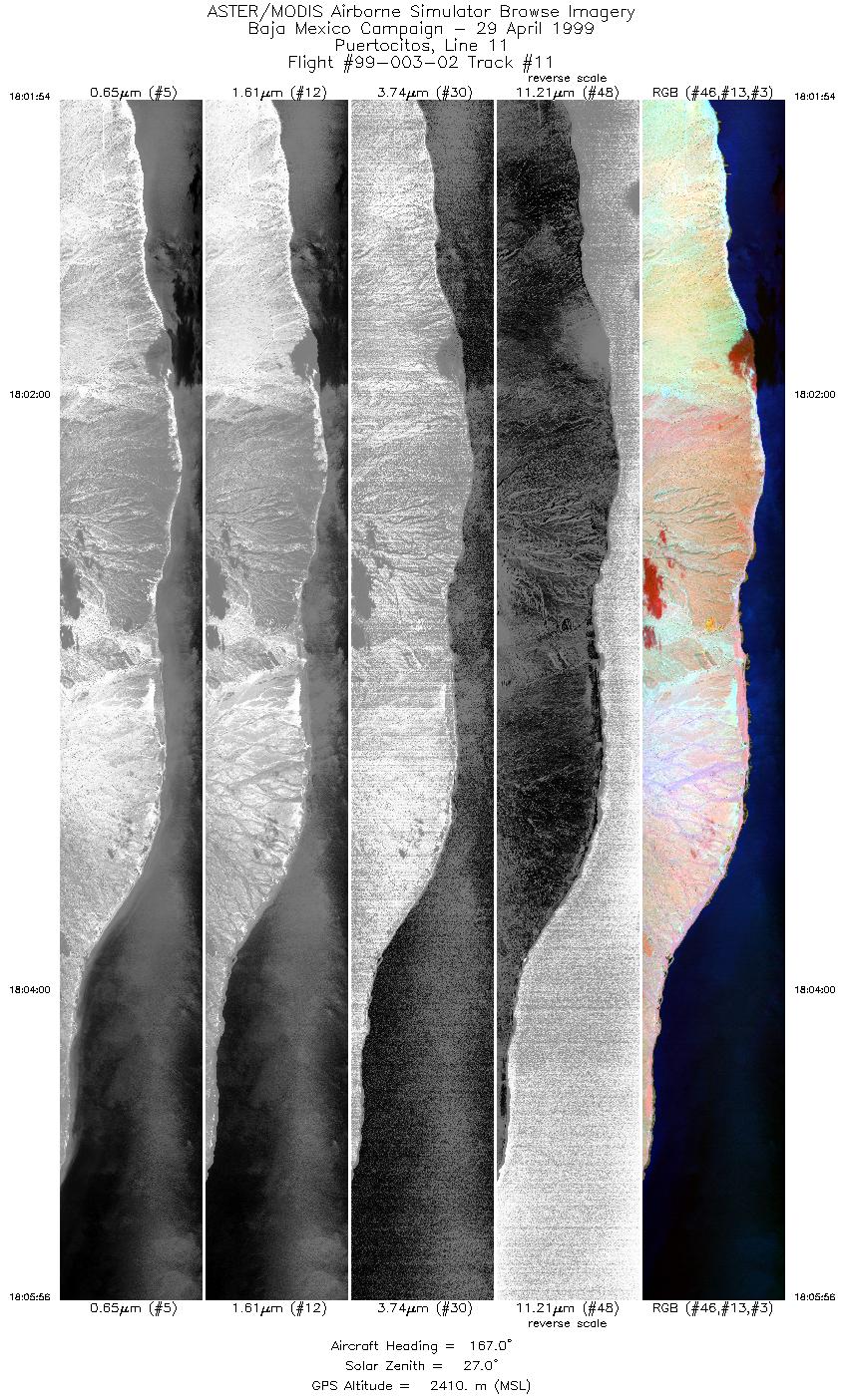
| 11 |
18:01 - 18:05 |
168.0 |
30.620 - 30.401 |
114.693 - 114.601 |
6022 |
2407 |
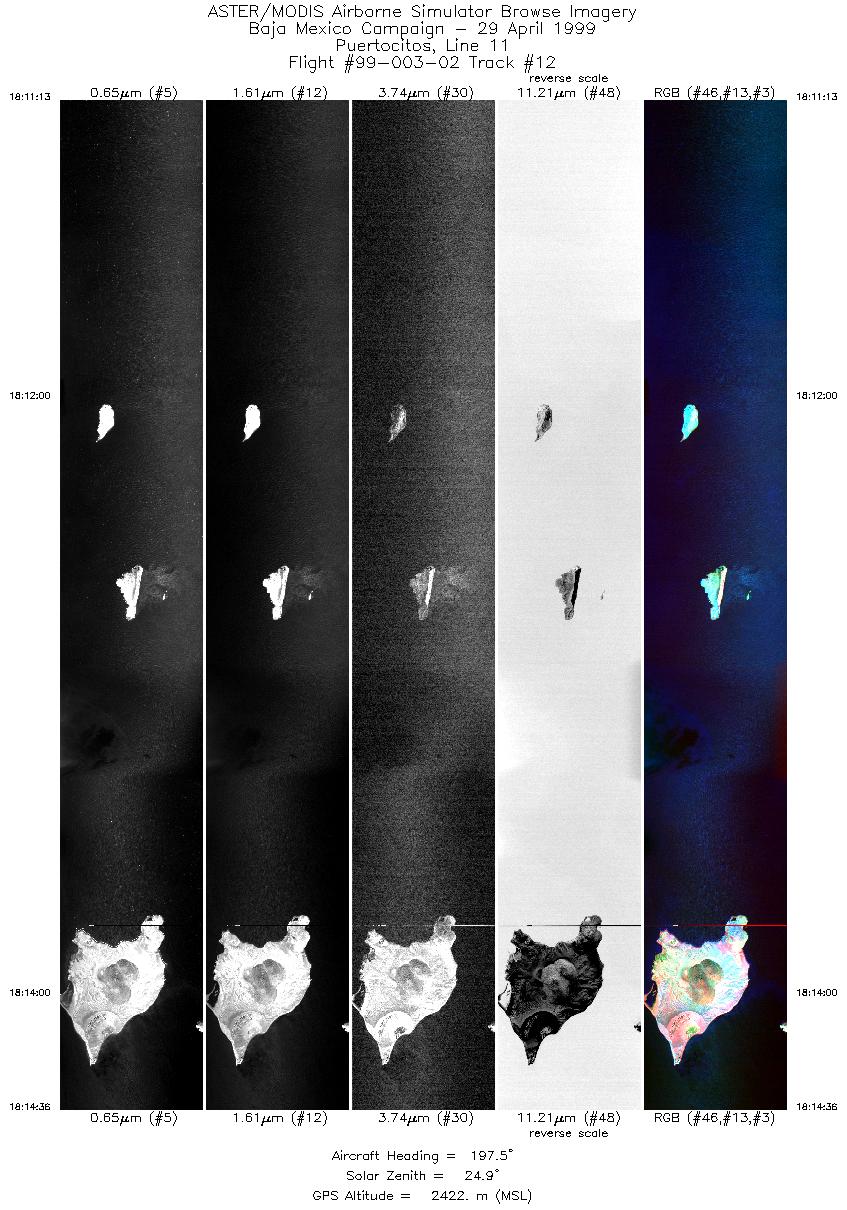
| 12 |
18:11 - 18:14 |
142.2 |
30.115 - 29.967 |
114.494 - 114.378 |
5051 |
2421 |
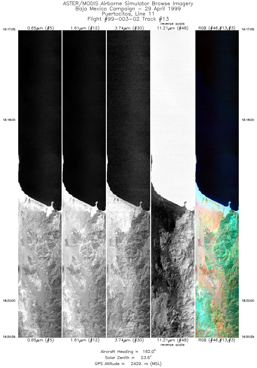
| 13 |
18:17 - 18:20 |
162.2 |
29.846 - 29.663 |
114.361 - 114.281 |
5078 |
2433 |
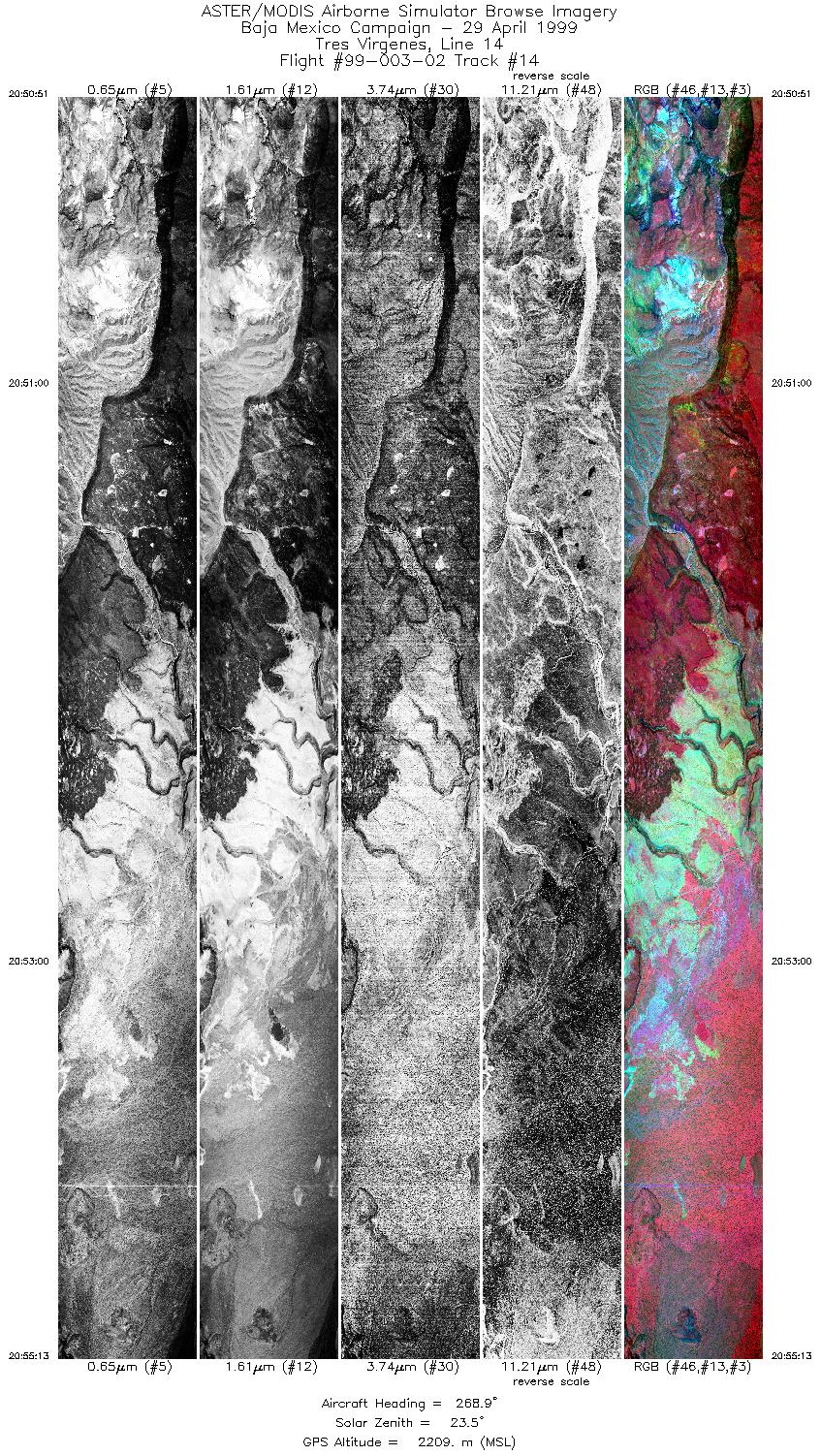
| 14 |
20:50 - 20:55 |
268.6 |
27.467 - 27.467 |
112.371 - 112.553 |
6513 |
2207 |
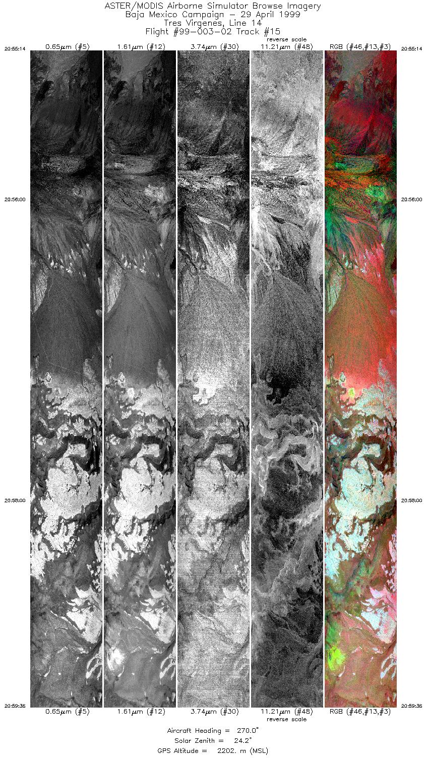
| 15 |
20:55 - 20:59 |
271.0 |
27.467 - 27.467 |
112.553 - 112.740 |
6516 |
2205 |
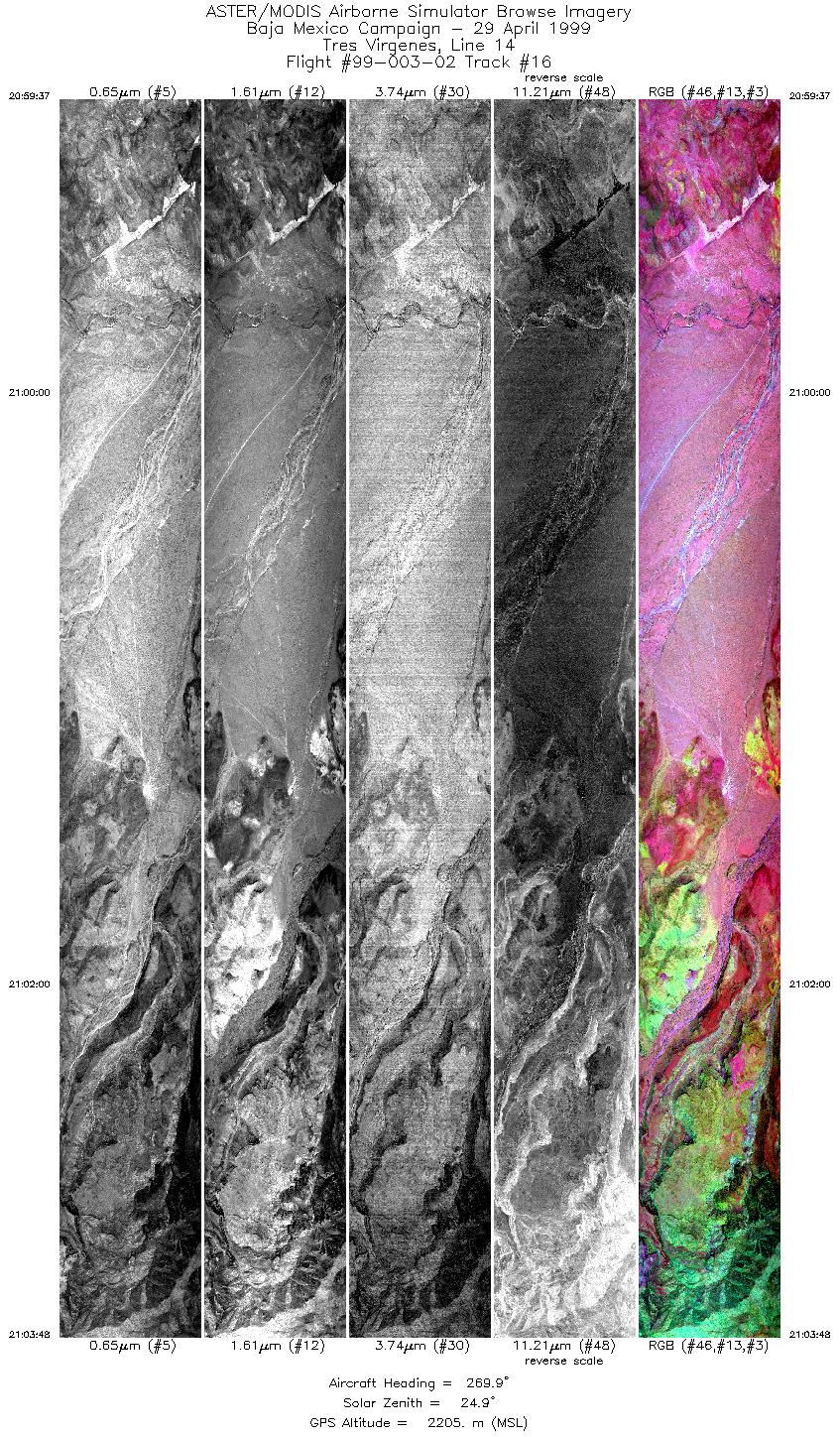
| 16 |
20:59 - 21:03 |
270.7 |
27.467 - 27.467 |
112.740 - 112.922 |
6243 |
2205 |
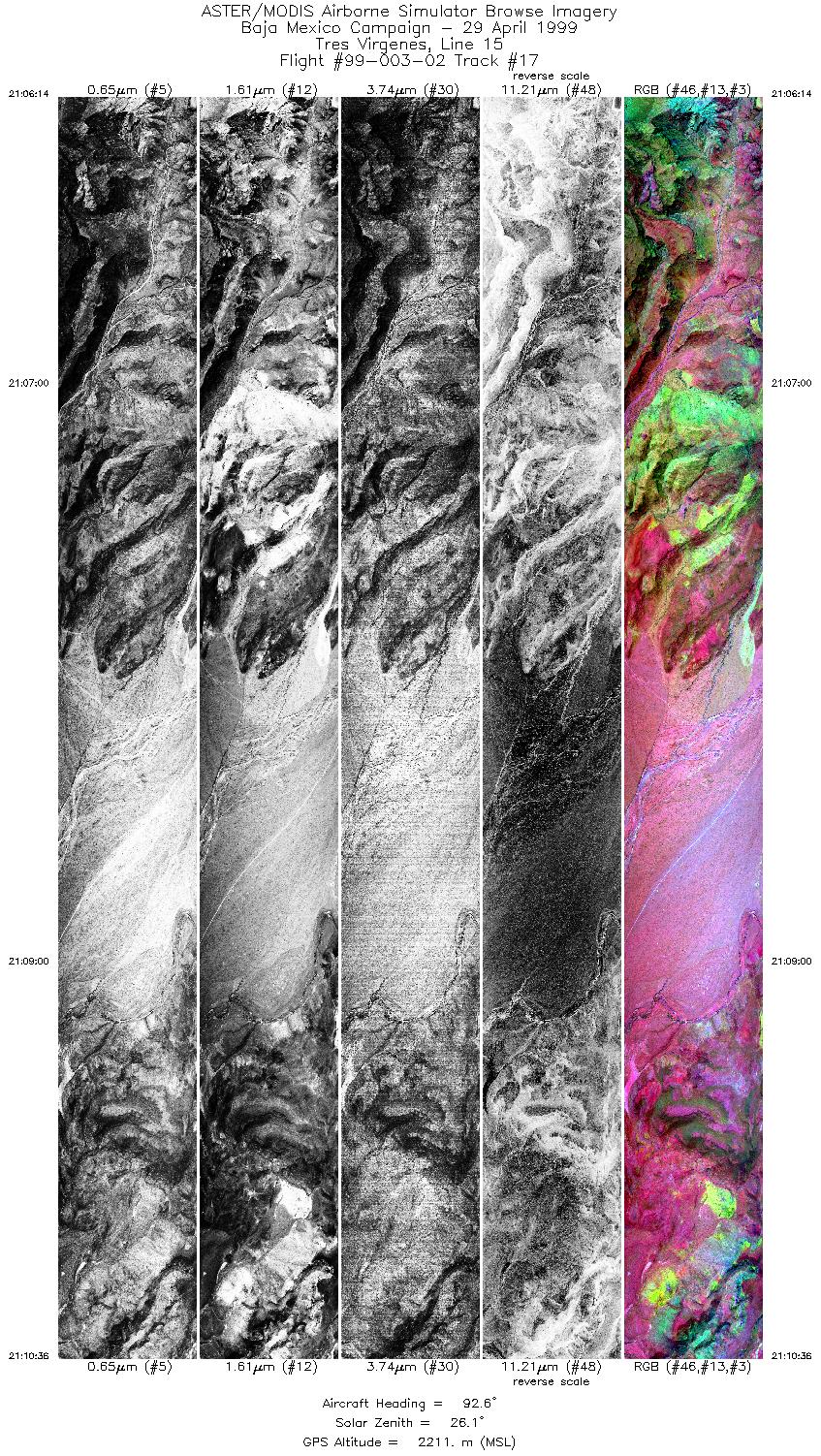
| 17 |
21:06 - 21:10 |
95.3 |
27.485 - 27.483 |
112.931 - 112.717 |
6513 |
2210 |
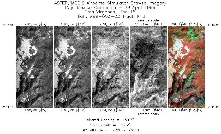
| 18 |
21:10 - 21:11 |
88.3 |
27.483 - 27.483 |
112.716 - 112.663 |
1567 |
2209 |
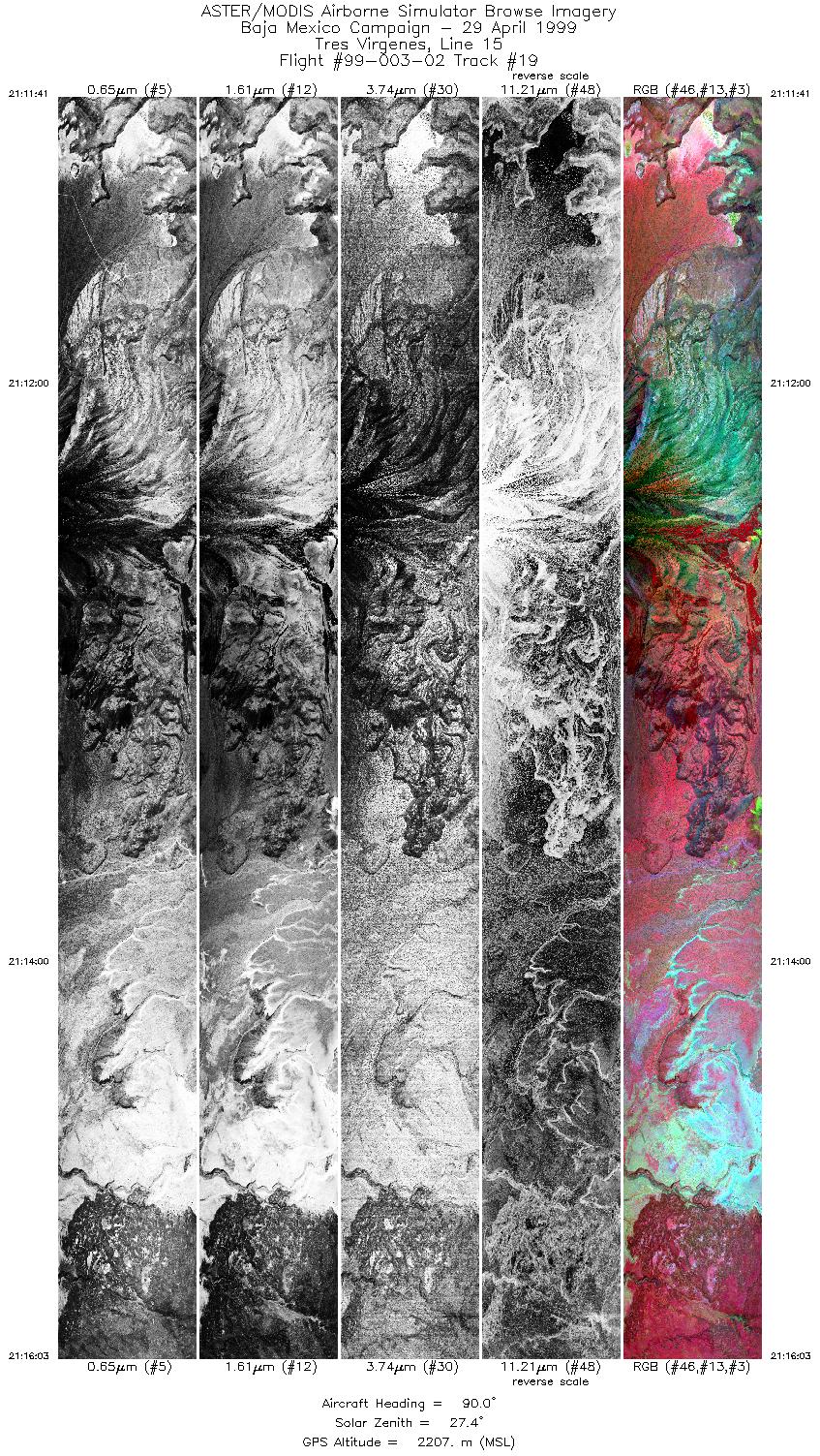
| 19 |
21:11 - 21:16 |
89.7 |
27.483 - 27.483 |
112.662 - 112.449 |
6516 |
2212 |
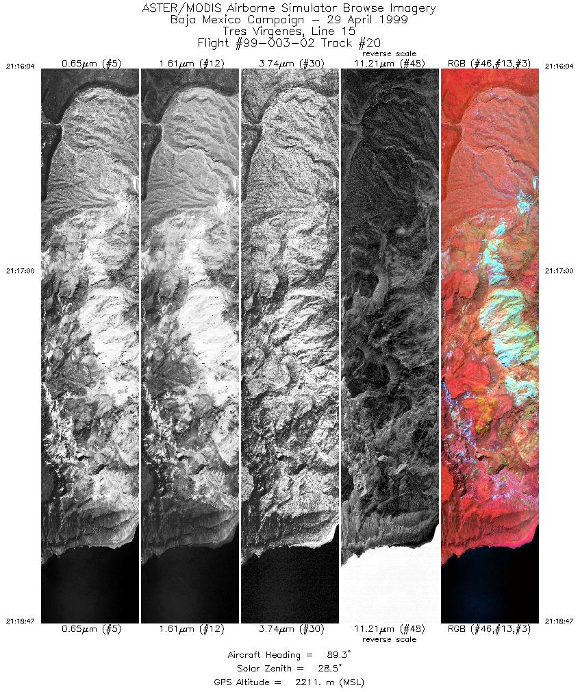
| 20 |
21:16 - 21:18 |
89.8 |
27.483 - 27.483 |
112.449 - 112.307 |
4053 |
2215 |
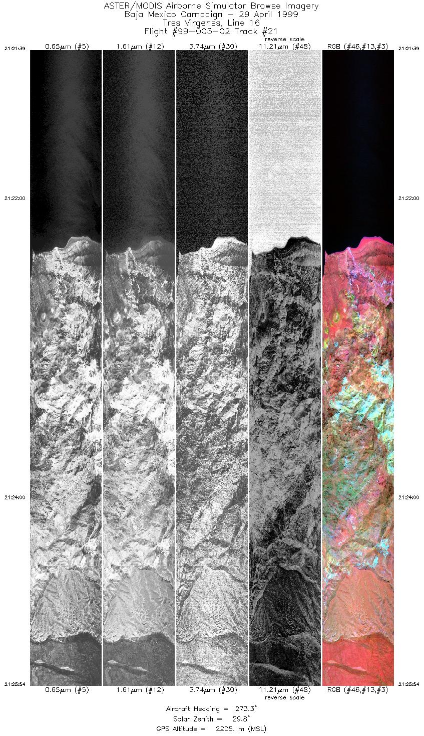
| 21 |
21:21 - 21:25 |
271.8 |
27.499 - 27.500 |
112.269 - 112.453 |
6340 |
2208 |
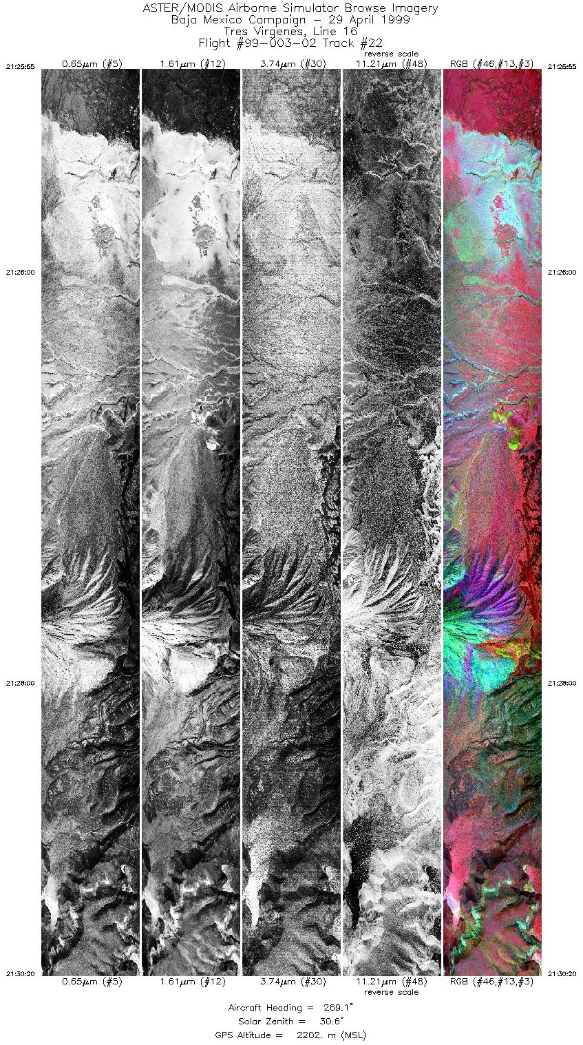
| 22 |
21:25 - 21:30 |
270.8 |
27.500 - 27.500 |
112.454 - 112.655 |
6590 |
2203 |
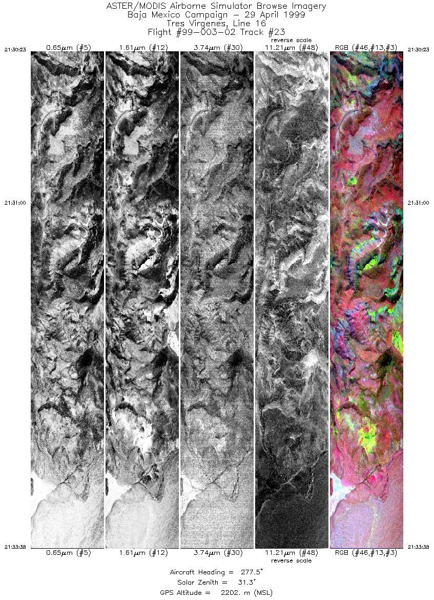
| 23 |
21:30 - 21:33 |
272.8 |
27.500 - 27.500 |
112.658 - 112.802 |
4849 |
2200 |
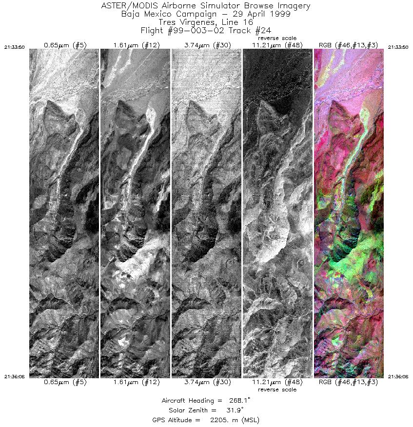
| 24 |
21:33 - 21:36 |
271.6 |
27.500 - 27.500 |
112.811 - 112.915 |
3383 |
2206 |
| 25 |
21:38 - 21:41 |
104.0 |
27.519 - 27.516 |
112.934 - 112.812 |
3532 |
2209 |
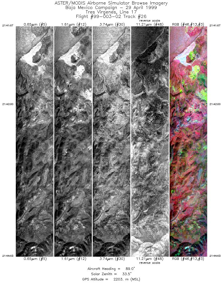
| 26 |
21:41 - 21:44 |
88.4 |
27.516 - 27.517 |
112.810 - 112.653 |
4378 |
2201 |
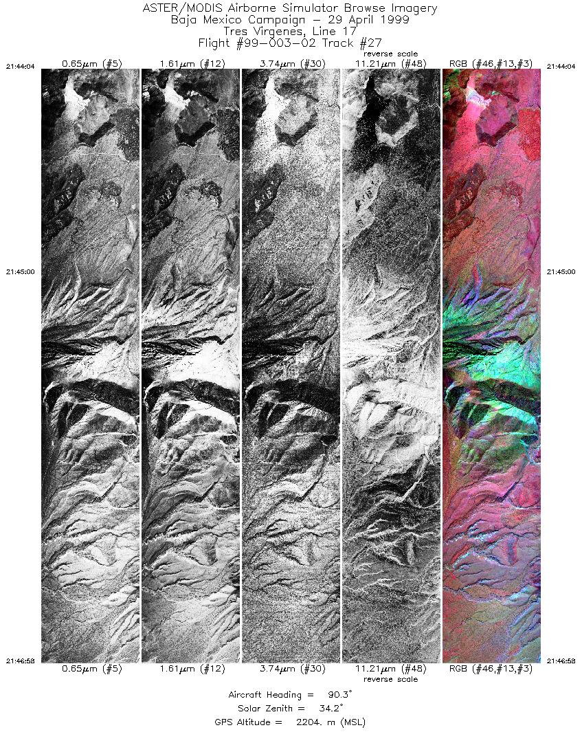
| 27 |
21:44 - 21:46 |
89.7 |
27.517 - 27.517 |
112.653 - 112.504 |
4326 |
2207 |
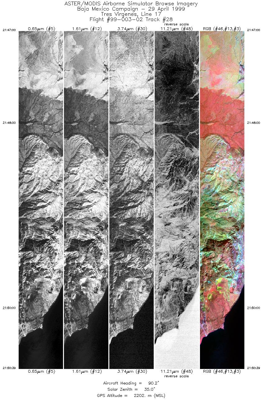
| 28 |
21:47 - 21:50 |
87.7 |
27.517 - 27.517 |
112.502 - 112.310 |
5447 |
2214 |
|


