


FLIGHT SUMMARY INFORMATION
Flight Track Map


|
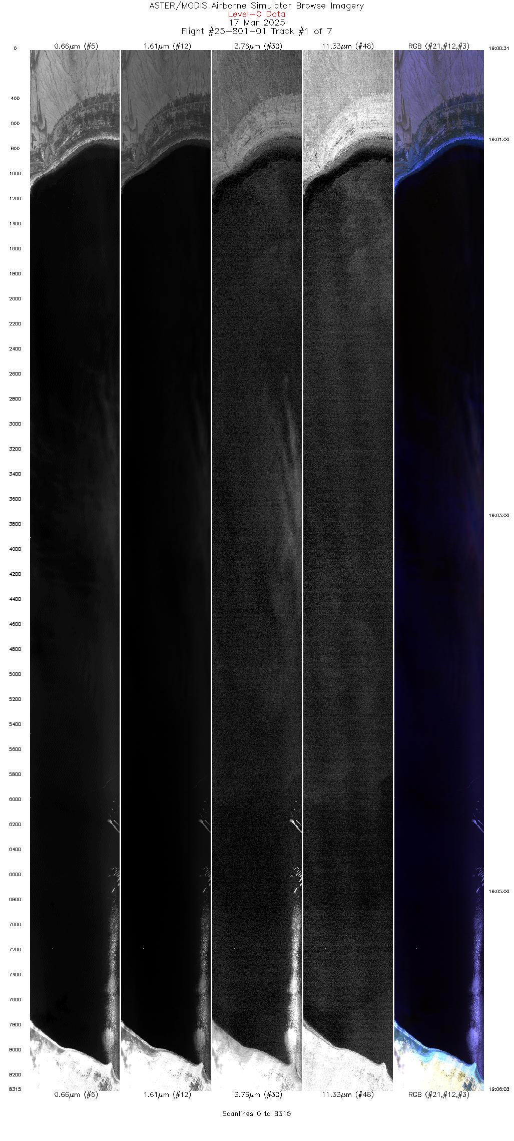
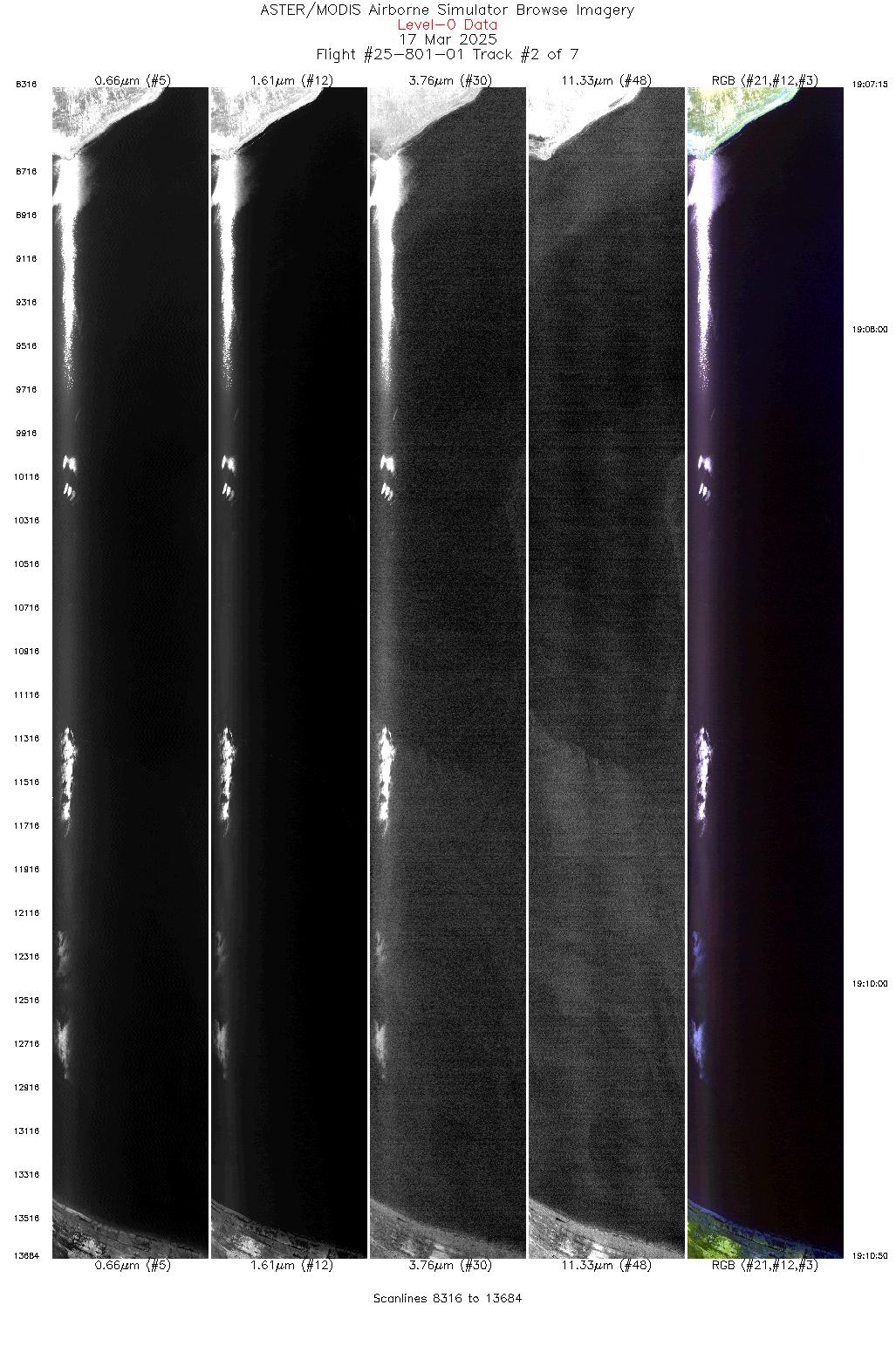
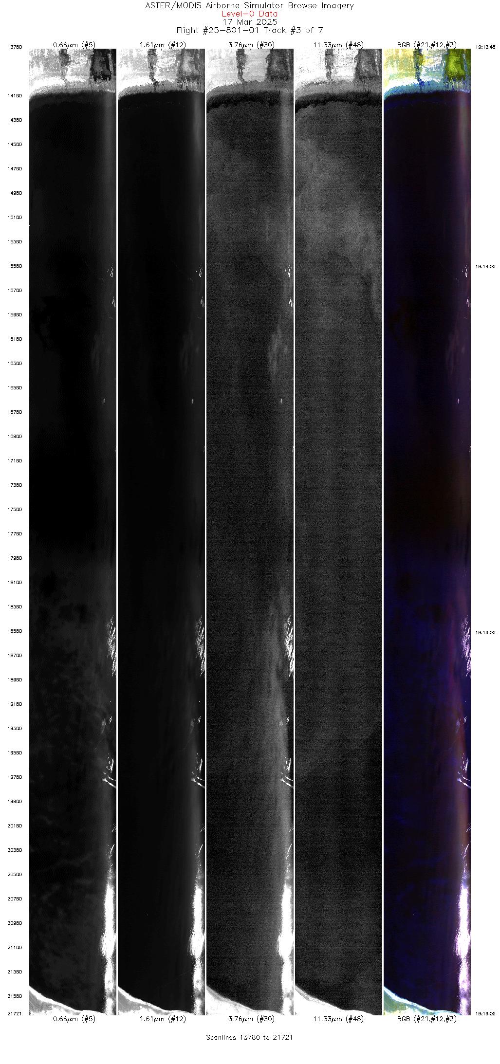
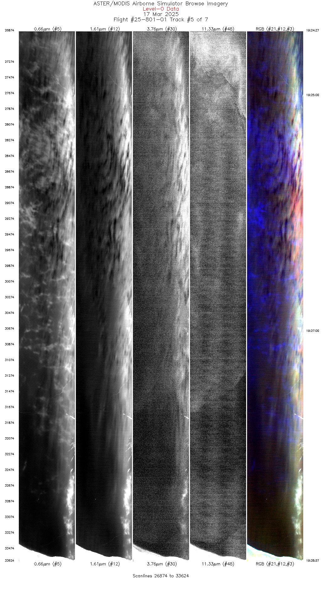
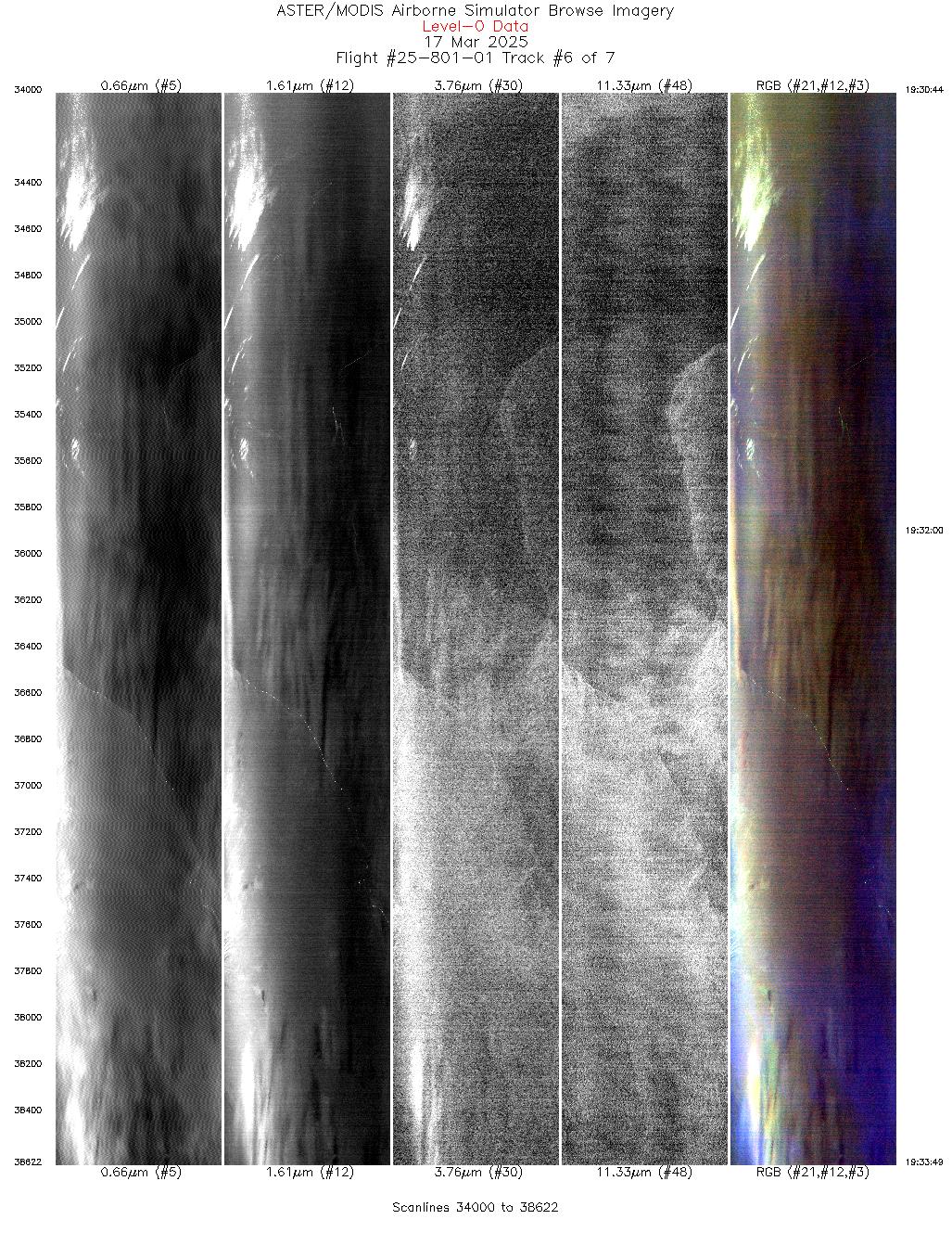
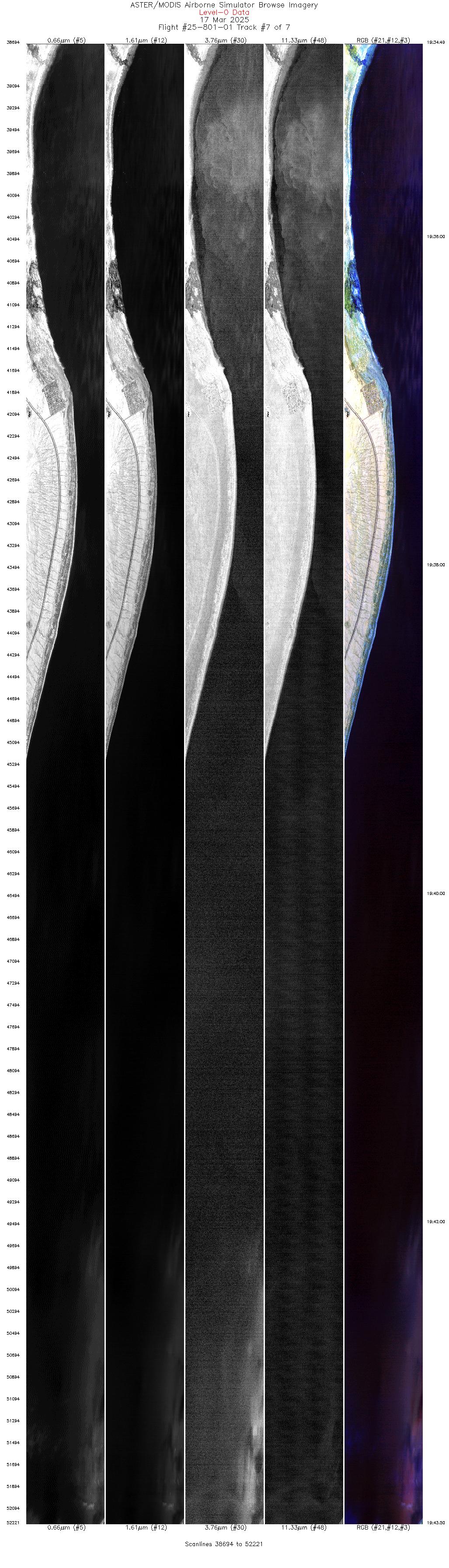
Flight: 25-801-01 Date: 17 Mar 2025 Aircraft: NASA B-200 Deployment: FireSense 2025 Flight Location: Salton Sea, CA Principal Investigators: NASA SMD Additional Sensors: FireTIRS |
|||||||||||||||||||||||||||||||||||||||||||||||||||||||||||||||||||||||||||||
|
Data Evaluation Overall quality is good Channel 35 offline |
|||||||||||||||||||||||||||||||||||||||||||||||||||||||||||||||||||||||||||||
|
Processing Information Level-1B Data in HDF format is available Flight Line Summary Spectral Band Configuration Spectral Response Function Table Spectral Response Function (text) |
|||||||||||||||||||||||||||||||||||||||||||||||||||||||||||||||||||||||||||||
|
Browse Imagery Flight Tracks: 7 Scanlines: 51520 |
|||||||||||||||||||||||||||||||||||||||||||||||||||||||||||||||||||||||||||||
|
|||||||||||||||||||||||||||||||||||||||||||||||||||||||||||||||||||||||||||||


