


FLIGHT SUMMARY INFORMATION
Flight Track Map


|
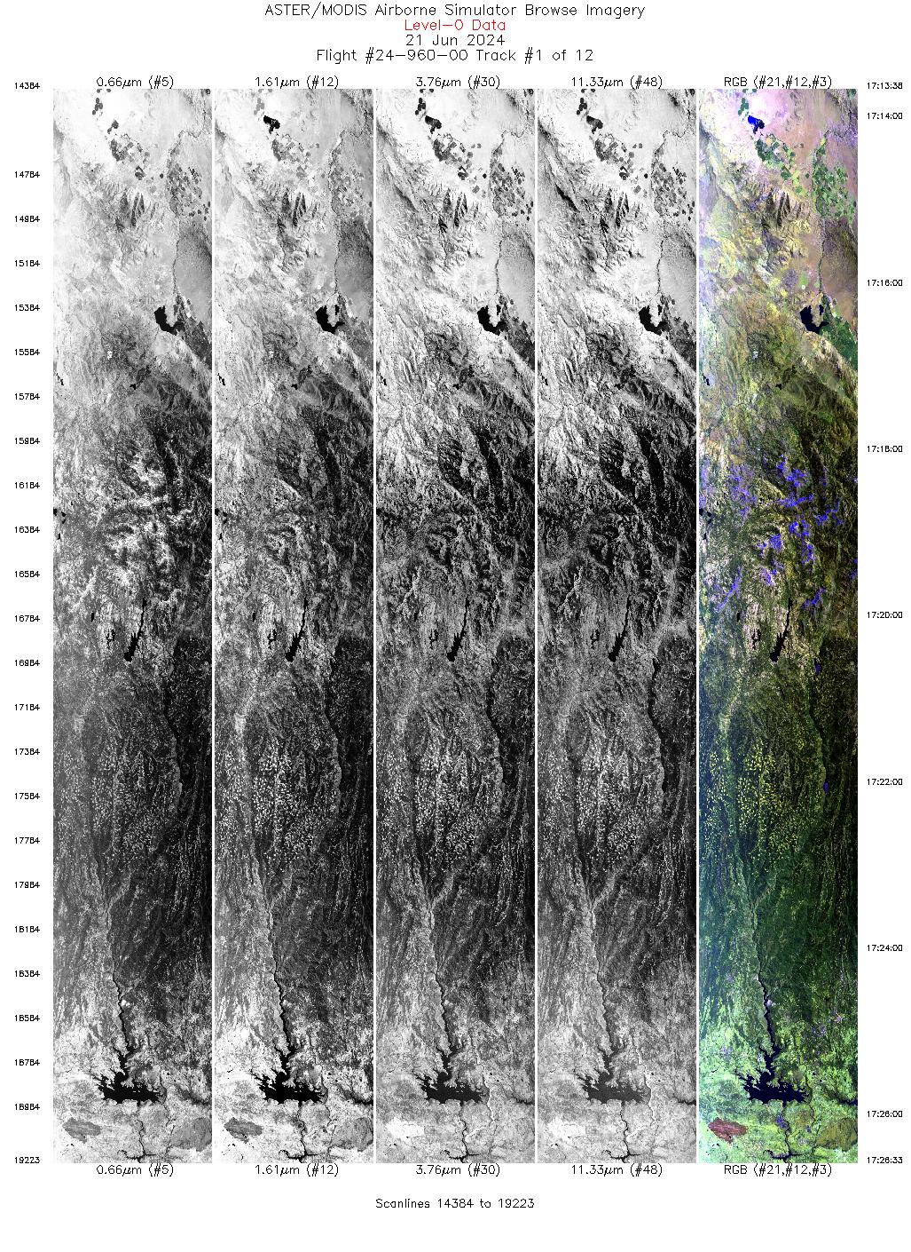
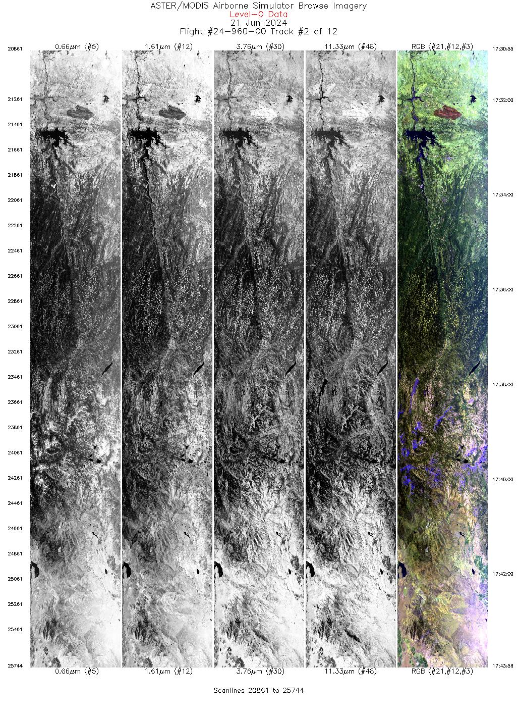
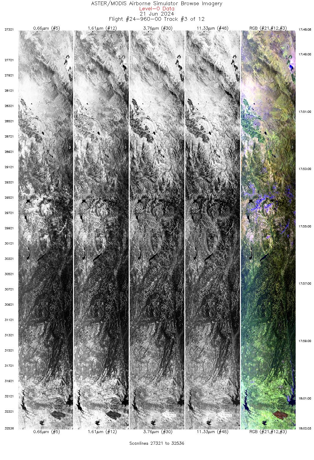
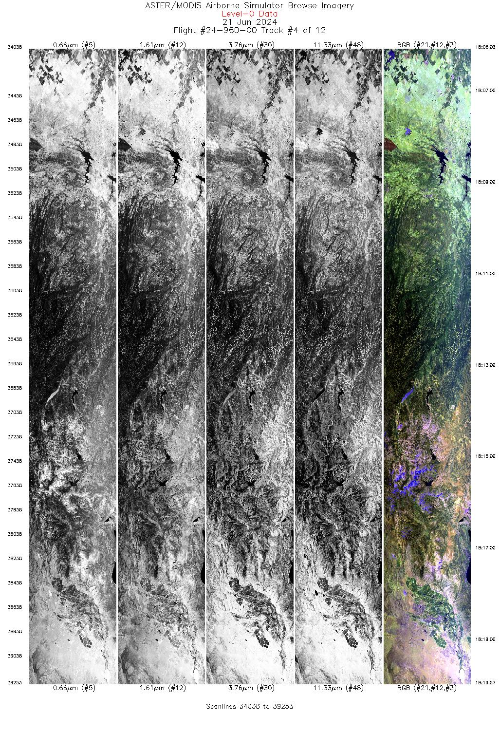
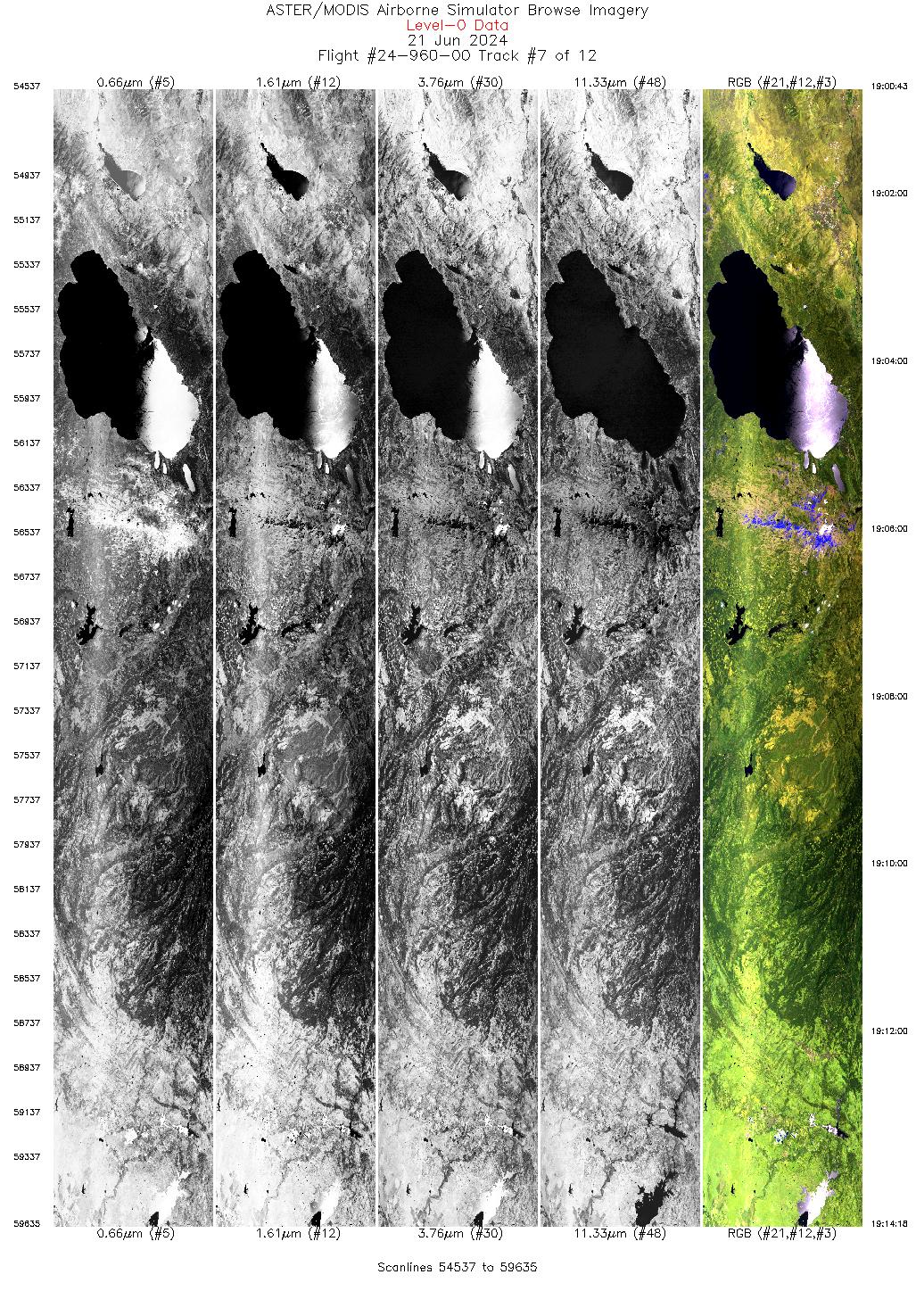
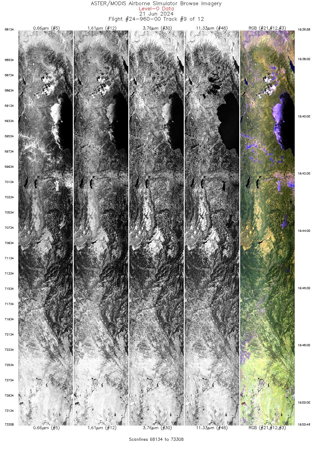
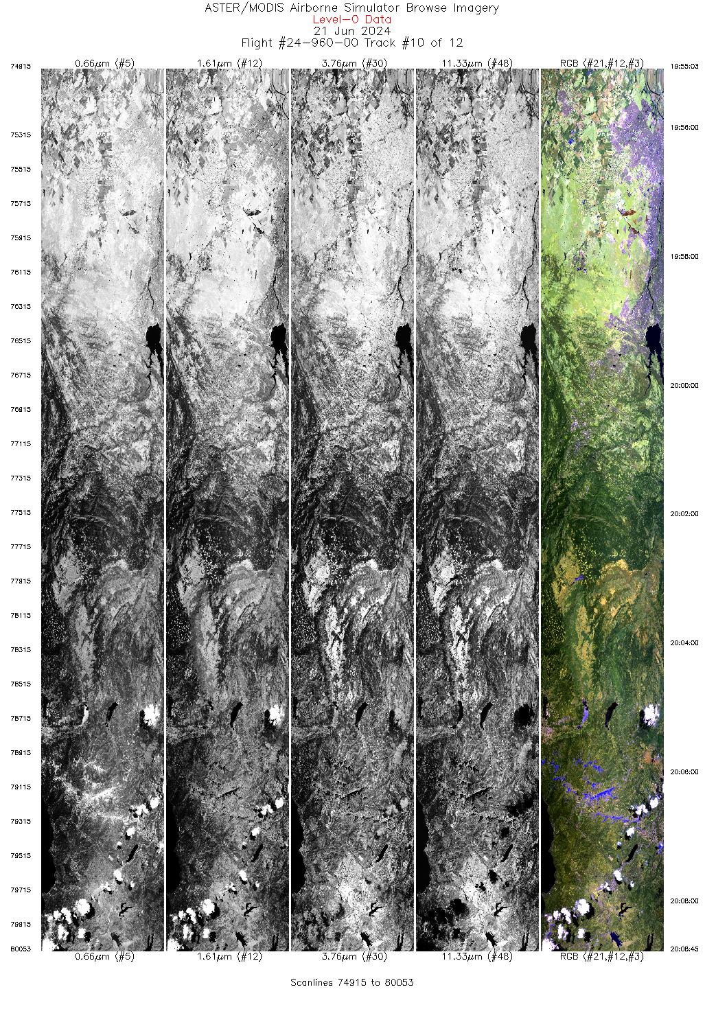
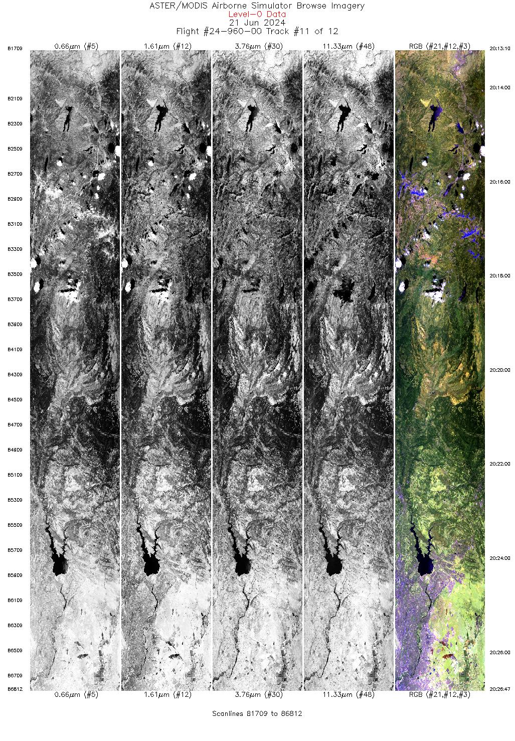
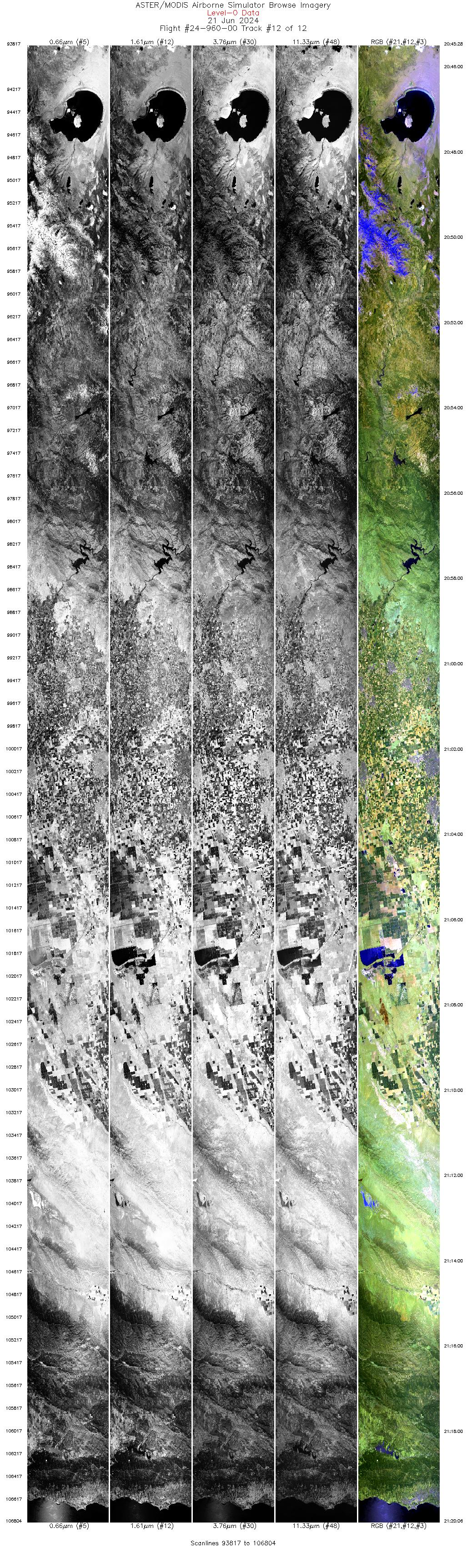
Flight: 24-960-00 Date: 21 Jun 2024 Aircraft: ER-2 #809 Deployment: WDTS Spring 2024 Flight Location: Lake Tahoe / Soda Straw, CA Principal Investigators: Hook / Green (JPL) Additional Sensors: AVIRIS |
||||||||||||||||||||||||||||||||||||||||||||||||||||||||||||||||||||||||||||||||||||||||||||||||||||||||||||||||
|
Data Evaluation Overall quality is good Channel 11 pin not fully seated |
||||||||||||||||||||||||||||||||||||||||||||||||||||||||||||||||||||||||||||||||||||||||||||||||||||||||||||||||
|
Processing Information Level-1B Data in HDF format is available Flight Line Summary Spectral Band Configuration Spectral Response Function Table Spectral Response Function (text) |
||||||||||||||||||||||||||||||||||||||||||||||||||||||||||||||||||||||||||||||||||||||||||||||||||||||||||||||||
|
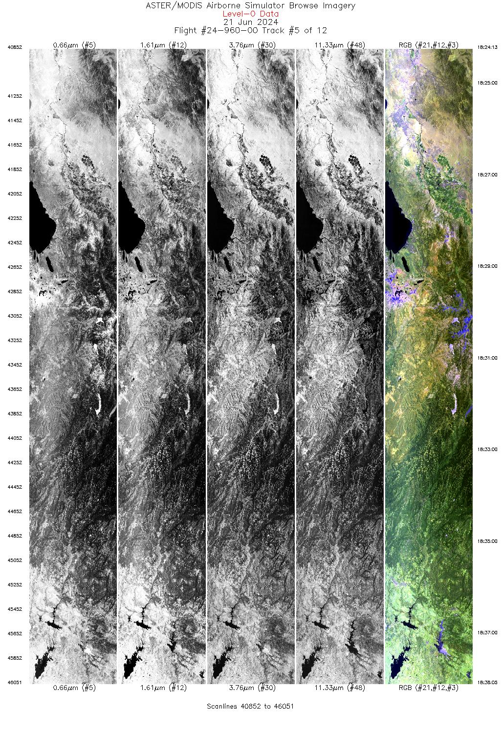
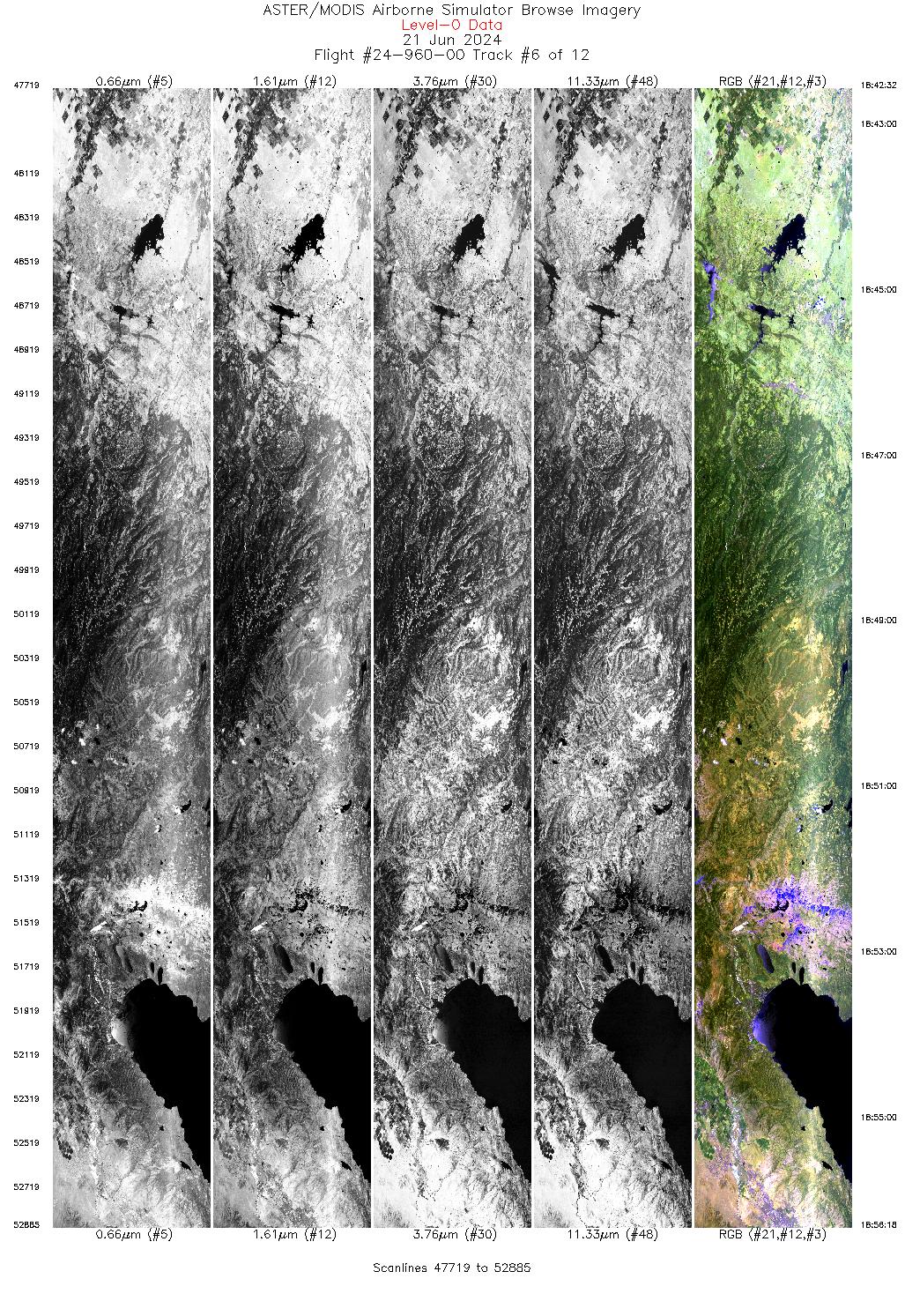
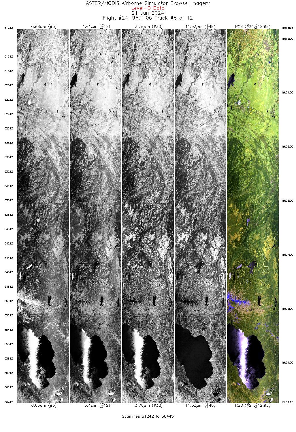
Browse Imagery Flight Tracks: 12 Scanlines: 69232 |
||||||||||||||||||||||||||||||||||||||||||||||||||||||||||||||||||||||||||||||||||||||||||||||||||||||||||||||||
|
||||||||||||||||||||||||||||||||||||||||||||||||||||||||||||||||||||||||||||||||||||||||||||||||||||||||||||||||

Flight 24-960-00


| Sample Imagery |
| Click image for full resolution |
|
Track: #07 Lake Tahoe, CA |


|
|
R: 2.13µm G: 1.61µm B: 0.47µm |


