


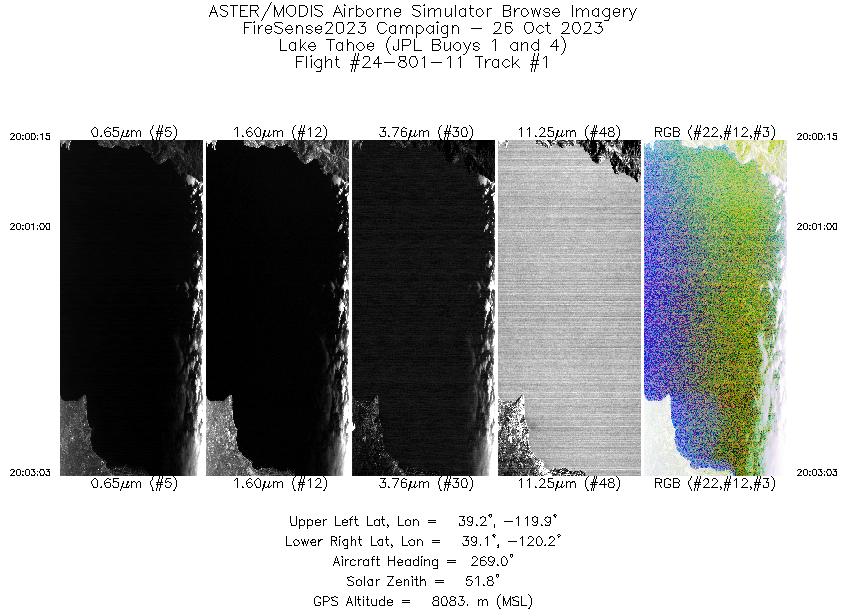
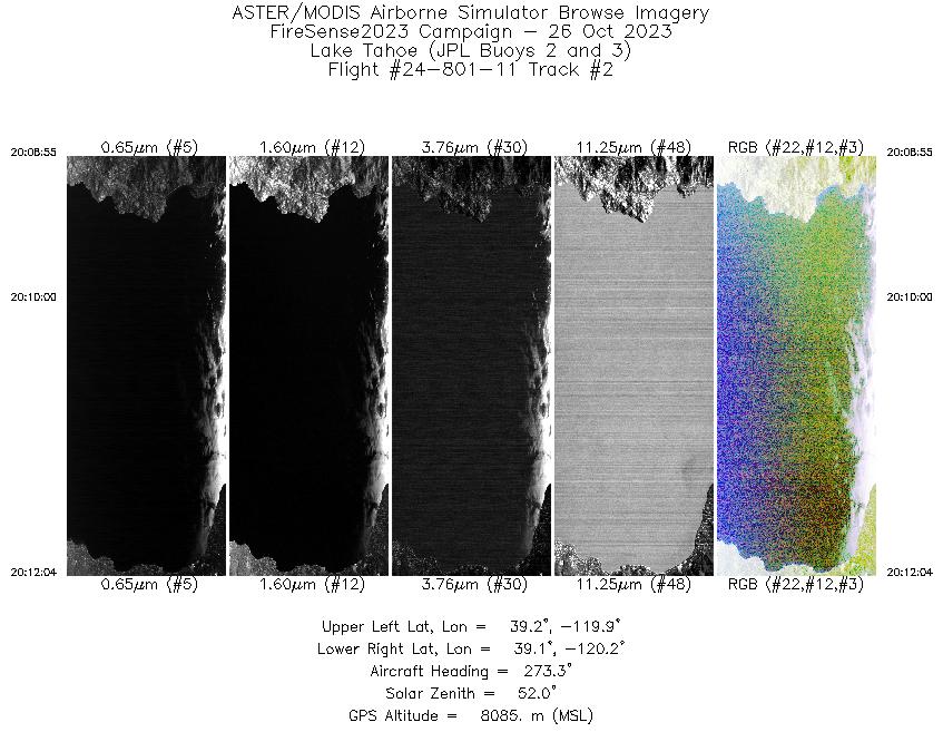
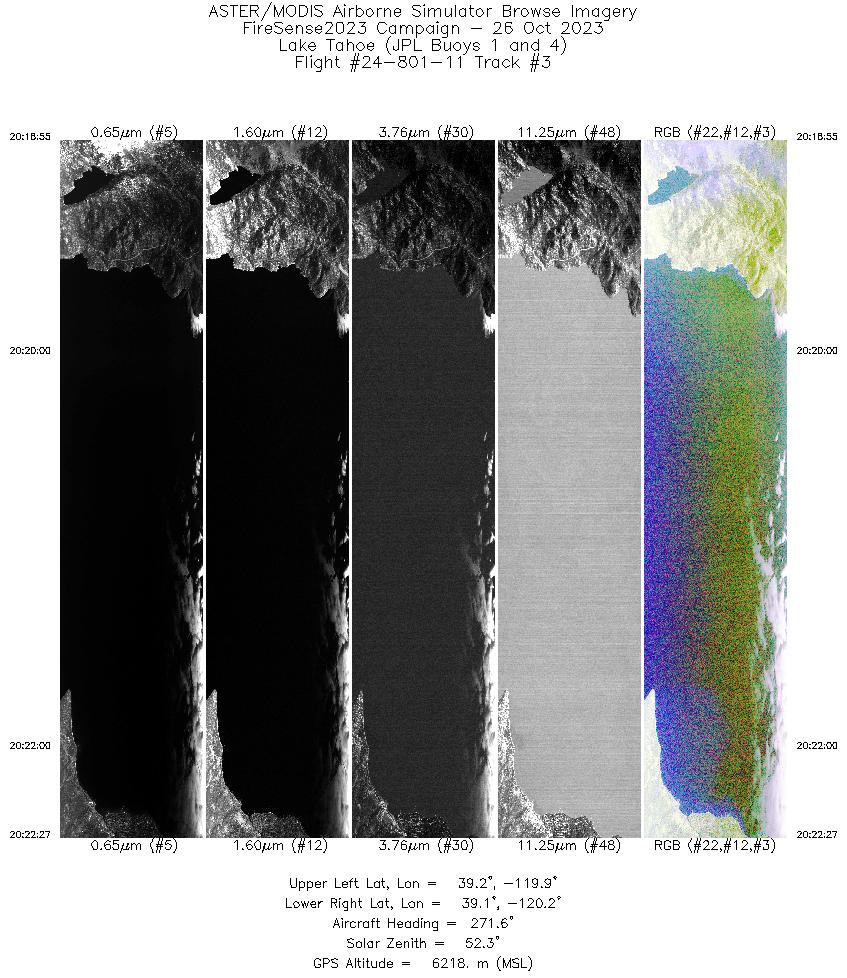
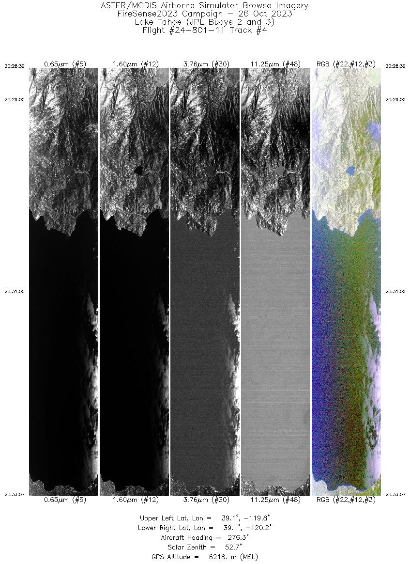
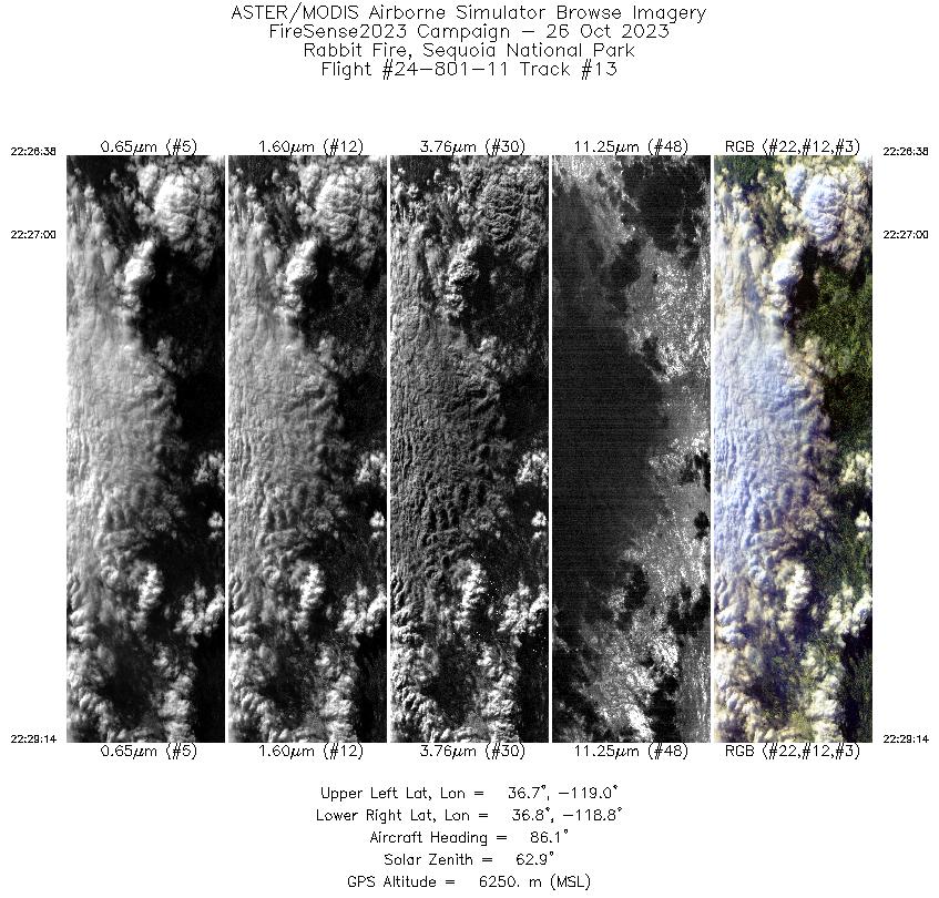
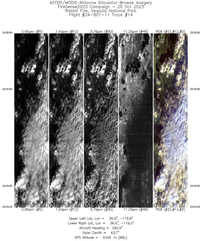
FLIGHT SUMMARY INFORMATION
Flight Track Map


|
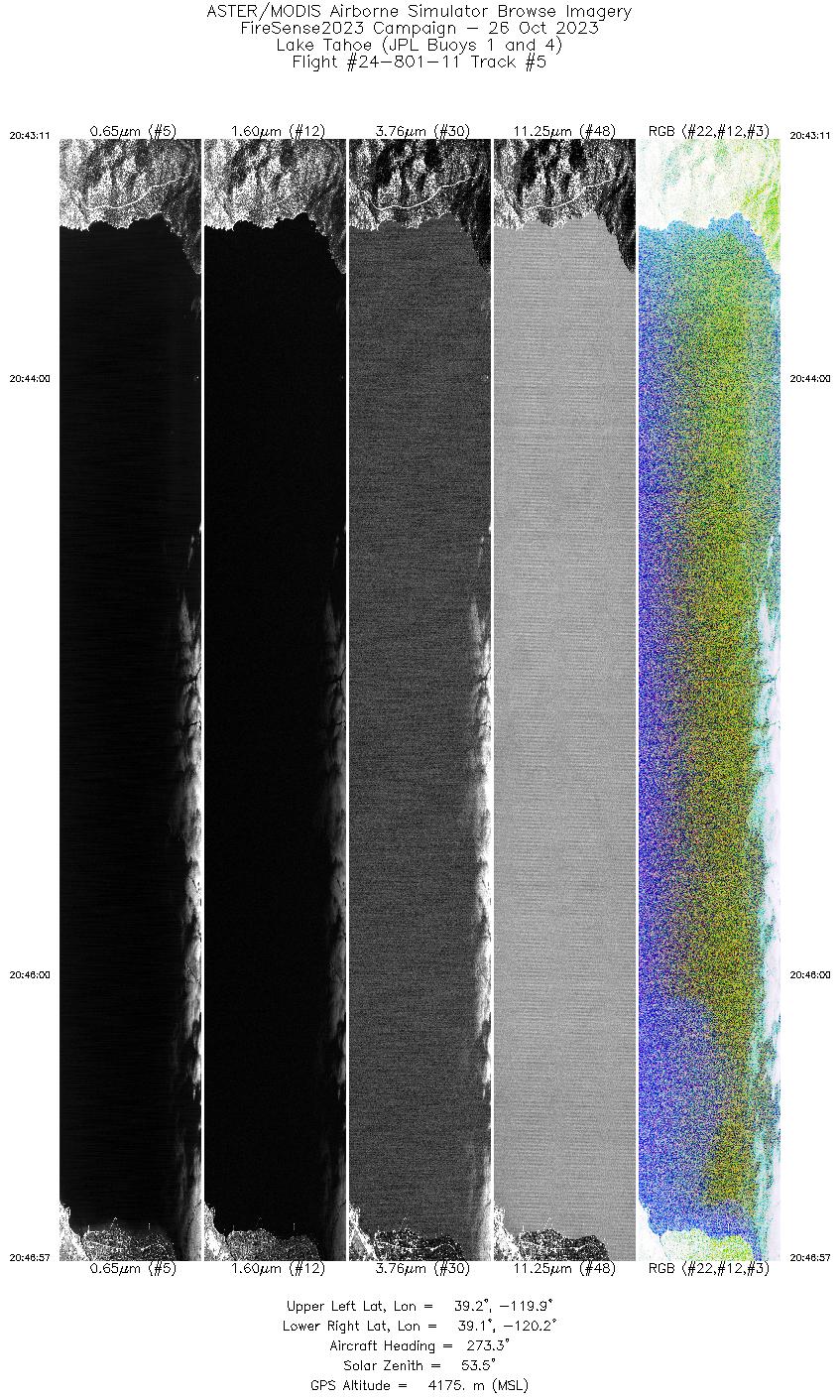
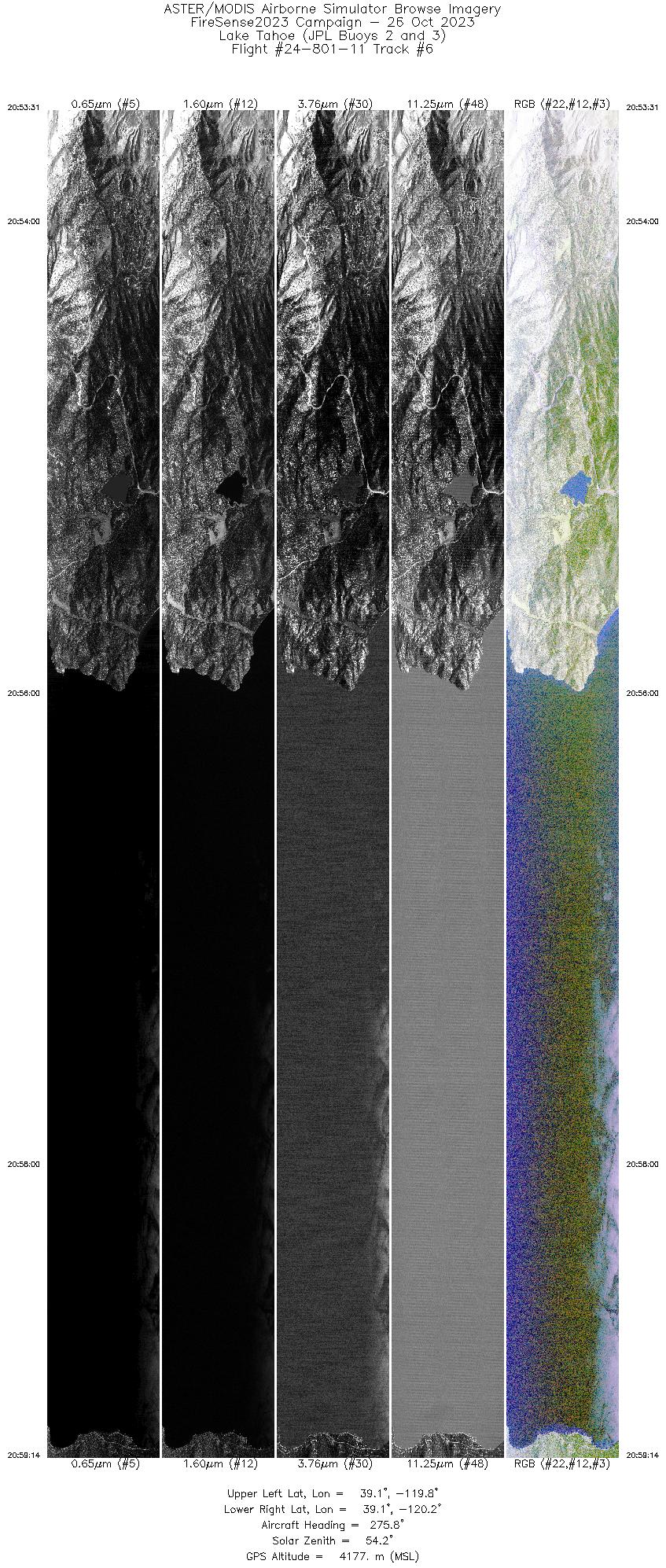
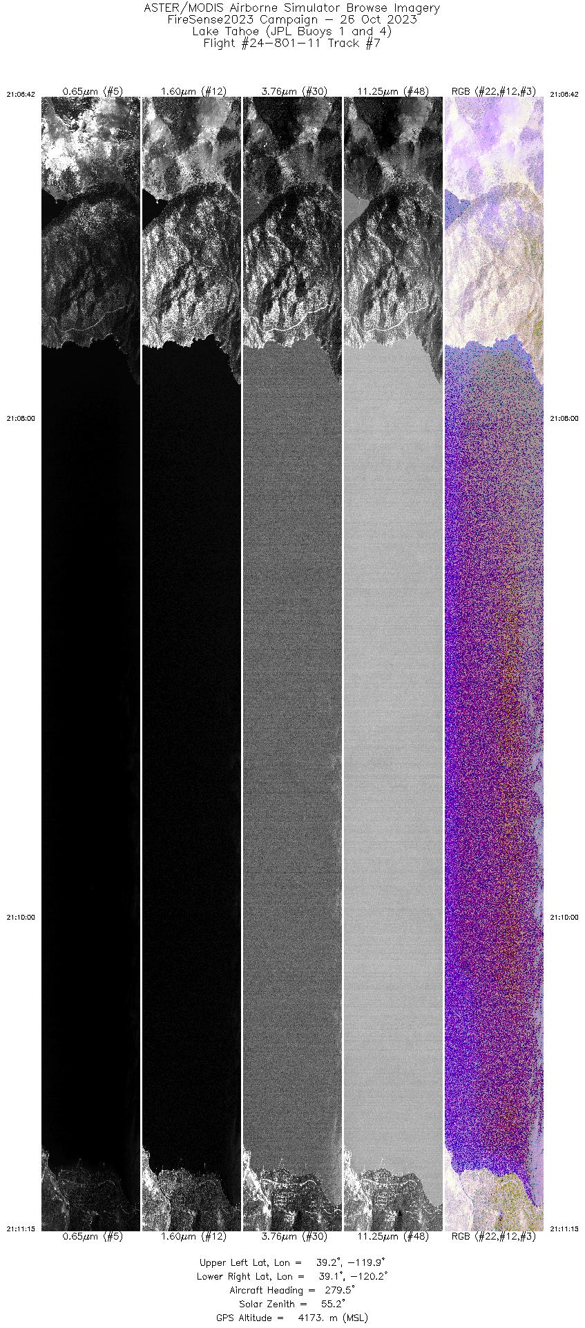
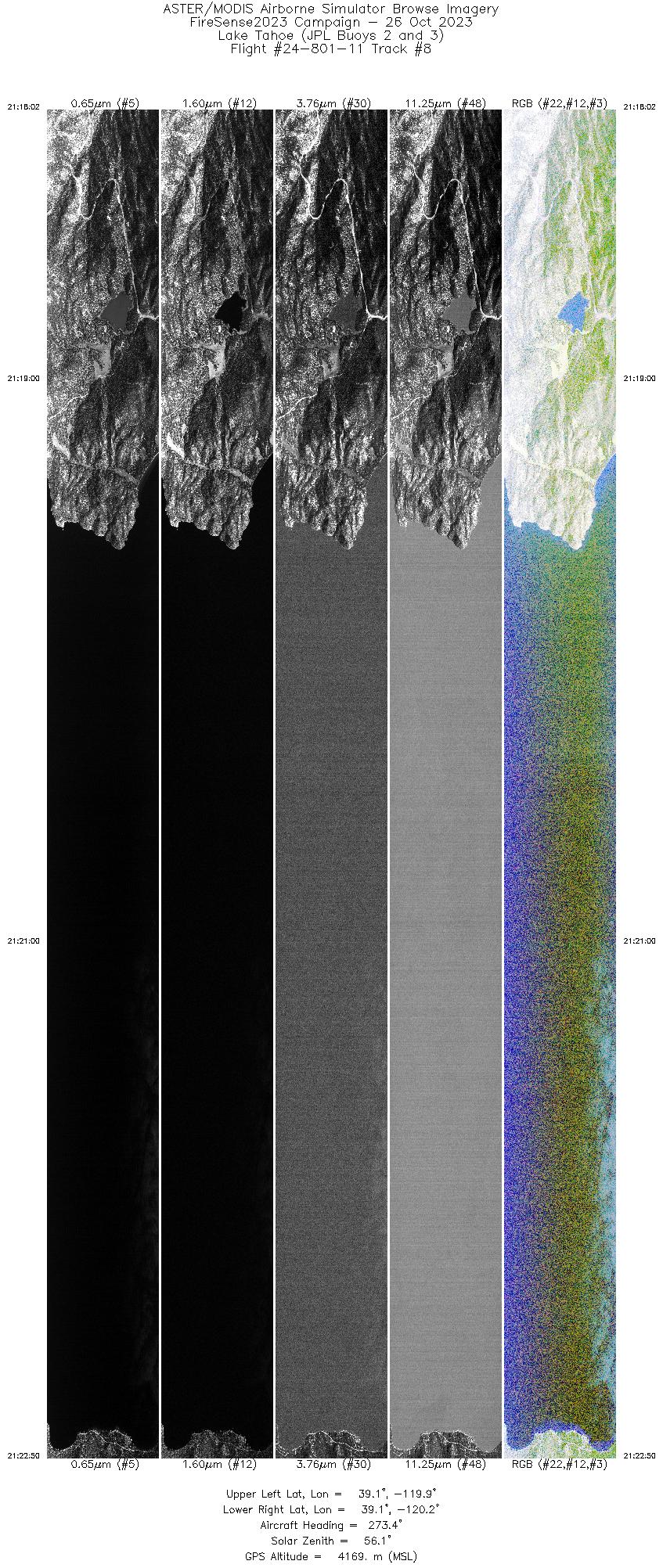
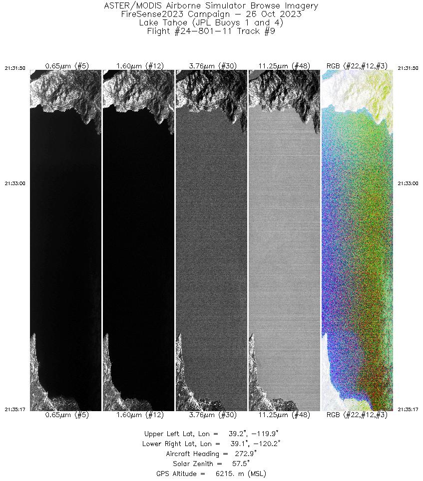
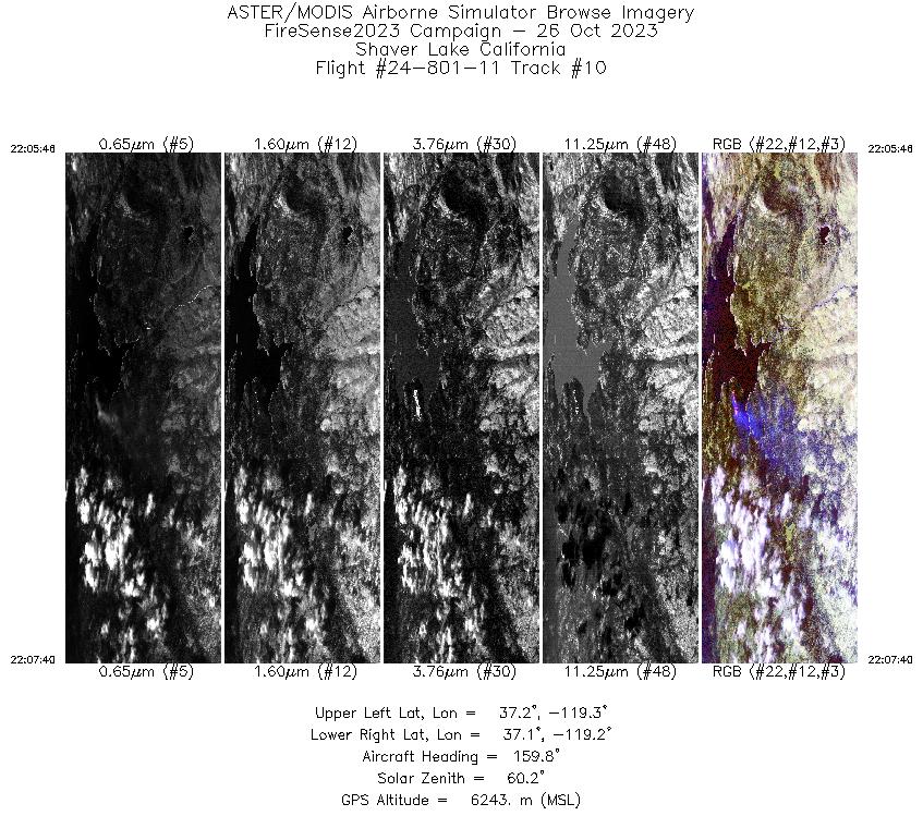
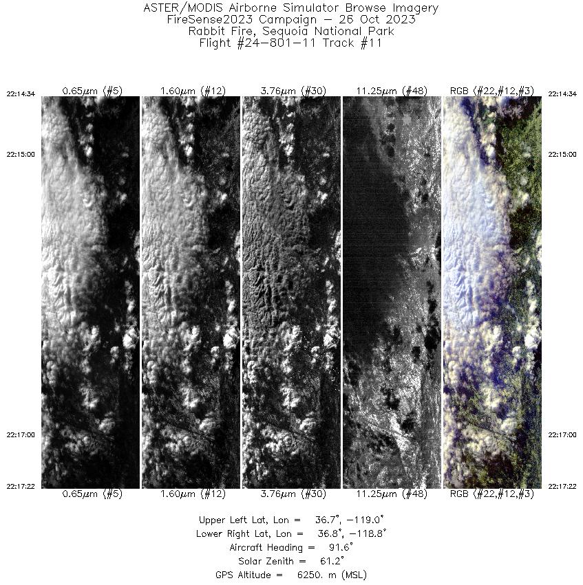
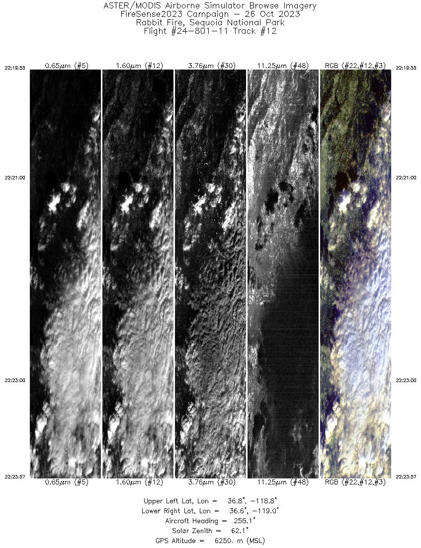
Flight: 24-801-11 Date: 26 Oct 2023 Aircraft: NASA B-200 #801 Deployment: FireSense 2023 Flight Location: Lake Tahoe / Rabbit Fire, CA Principal Investigators: NASA HQ Additional Sensors: SWIS |
||||||||||||||||||||||||||||||||||||||||||||||||||||||||||||||||||||||||||||||||||||||||||||||||||||||||||||||||||||||||||||||
|
Data Evaluation Overall quality is good Rabbit Fire mostly obscured by clouds Extra fire collection by Shaver Lake (Fresno) |
||||||||||||||||||||||||||||||||||||||||||||||||||||||||||||||||||||||||||||||||||||||||||||||||||||||||||||||||||||||||||||||
|
Processing Information Level-1B Data in HDF format is available Flight Line Summary Spectral Band Configuration Spectral Response Function Table Spectral Response Function (text) |
||||||||||||||||||||||||||||||||||||||||||||||||||||||||||||||||||||||||||||||||||||||||||||||||||||||||||||||||||||||||||||||
|
Browse Imagery Flight Tracks: 14 Scanlines: 61590 |
||||||||||||||||||||||||||||||||||||||||||||||||||||||||||||||||||||||||||||||||||||||||||||||||||||||||||||||||||||||||||||||
|
||||||||||||||||||||||||||||||||||||||||||||||||||||||||||||||||||||||||||||||||||||||||||||||||||||||||||||||||||||||||||||||

Flight 24-801-11


| Sample Imagery |
| Click image for full resolution |
|
Track: #09 Lake Tahoe, CA |


|
|
R: 2.13µm G: 1.61µm B: 0.47µm |


