Flight: 24-801-10
Date: 24 Oct 2023
Aircraft: NASA B-200 #801
Deployment: FireSense 2023
Flight Location: Quarry Fire, Stanislaus NF, CA
Principal Investigators: NASA HQ
Additional Sensors: SWIS
|
Data Evaluation
Overall quality is good
|
Processing Information
Level-1B Data in HDF format is available
Flight Line Summary
Spectral Band Configuration
Spectral Response Function Table
Spectral Response Function (text)
|
Browse Imagery
Flight Tracks: 29
Scanlines: 79988
|
Browse Imagery Table
|
Click a Flight Track number to view a quicklook image
Lat/Lon ranges are for the BEG-END scanline nadir pixels
|
Flight
Track |
Time Span
(UTC) |
Heading
(Deg) |
Lat Range
(Deg N) |
Lon Range
(Deg W) |
Length
(Scanlines) |
Altitude
(Meters) |
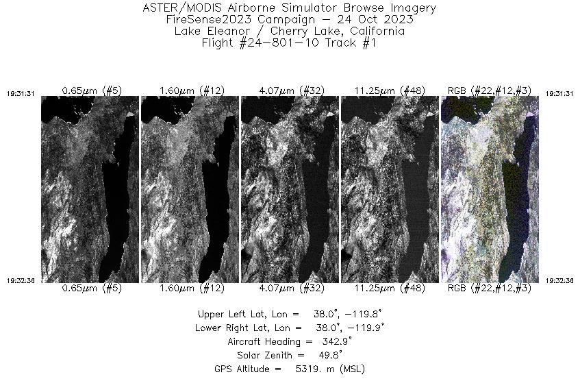
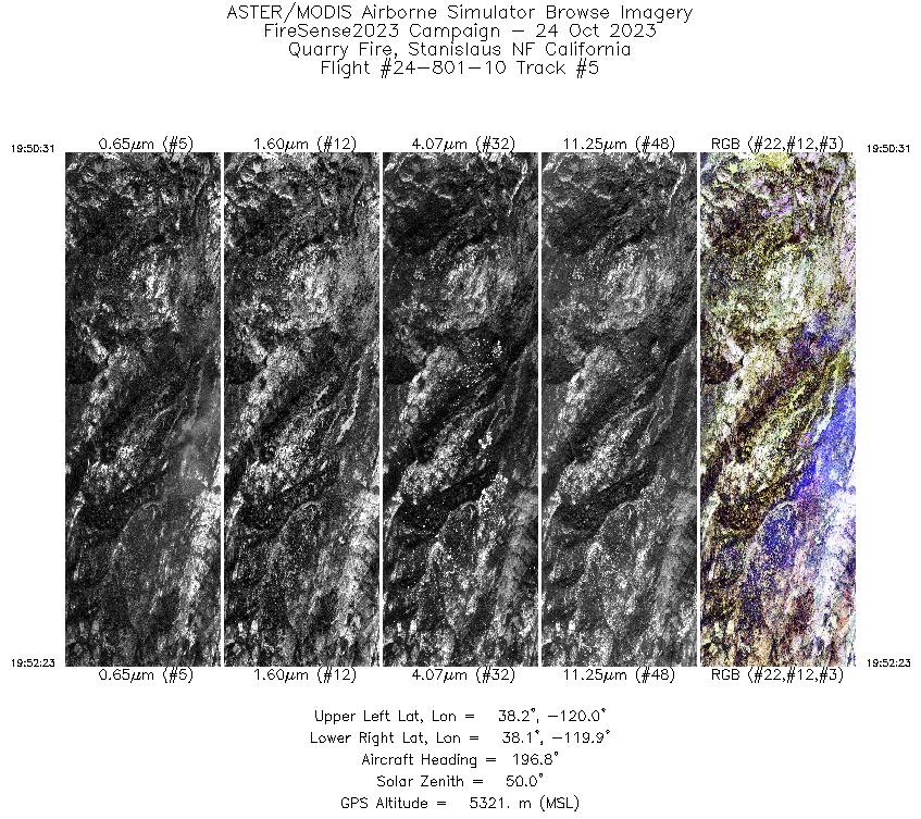
| 1 |
19:31 - 19:32 |
342.8 |
37.979 - 38.030 |
119.880 - 119.894 |
1368 |
5320 |
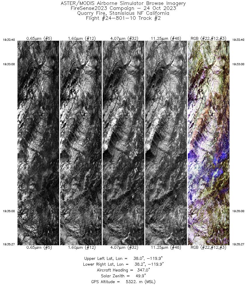
| 2 |
19:32 - 19:35 |
351.2 |
38.033 - 38.163 |
119.895 - 119.899 |
3518 |
5323 |
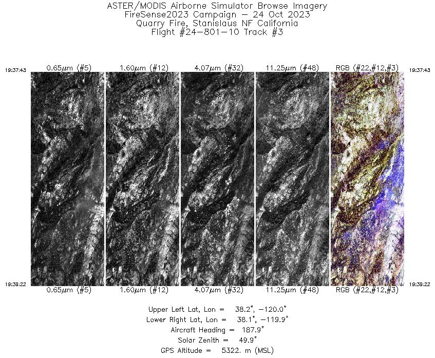
| 3 |
19:37 - 19:39 |
187.4 |
38.155 - 38.070 |
119.924 - 119.923 |
2086 |
5322 |
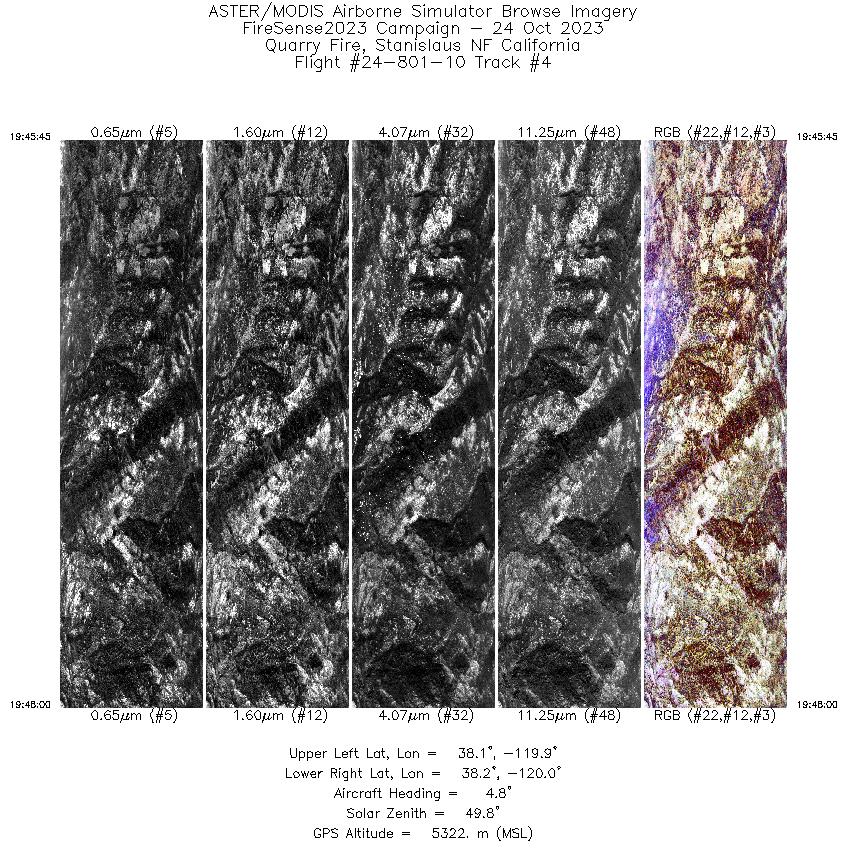
| 4 |
19:45 - 19:47 |
359.5 |
38.056 - 38.162 |
119.949 - 119.945 |
2842 |
5322 |
| 5 |
19:50 - 19:52 |
191.9 |
38.166 - 38.068 |
119.923 - 119.923 |
2369 |
5321 |
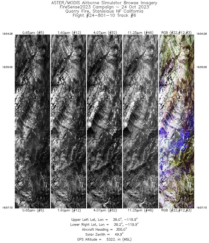
| 6 |
19:54 - 19:57 |
355.0 |
38.032 - 38.162 |
119.898 - 119.899 |
3520 |
5322 |
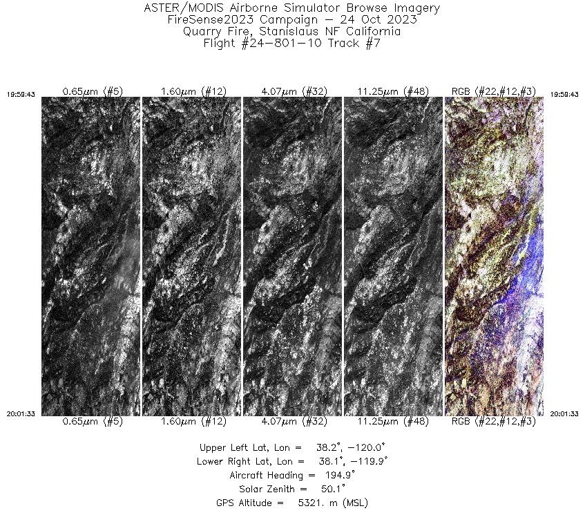
| 7 |
19:59 - 20:01 |
191.1 |
38.161 - 38.066 |
119.922 - 119.923 |
2311 |
5321 |
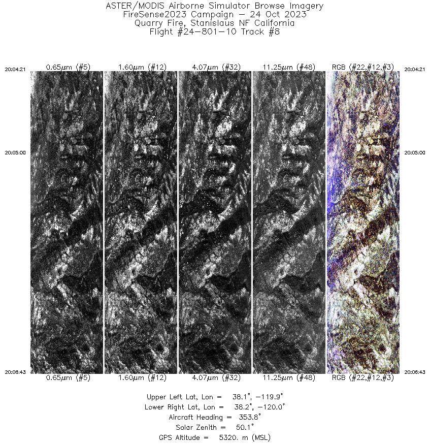
| 8 |
20:04 - 20:06 |
354.3 |
38.051 - 38.163 |
119.944 - 119.945 |
2984 |
5320 |
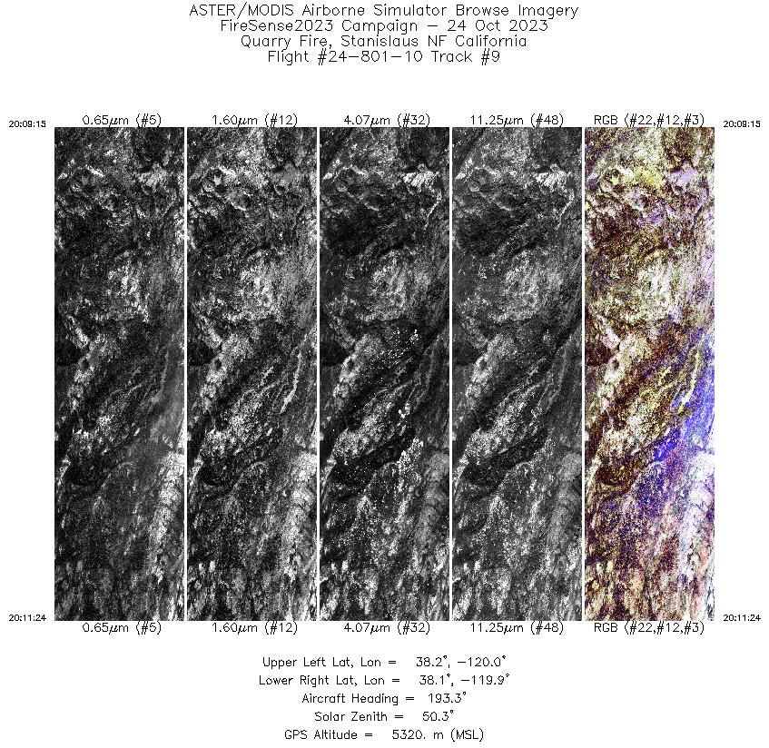
| 9 |
20:09 - 20:11 |
190.5 |
38.176 - 38.064 |
119.924 - 119.923 |
2720 |
5319 |
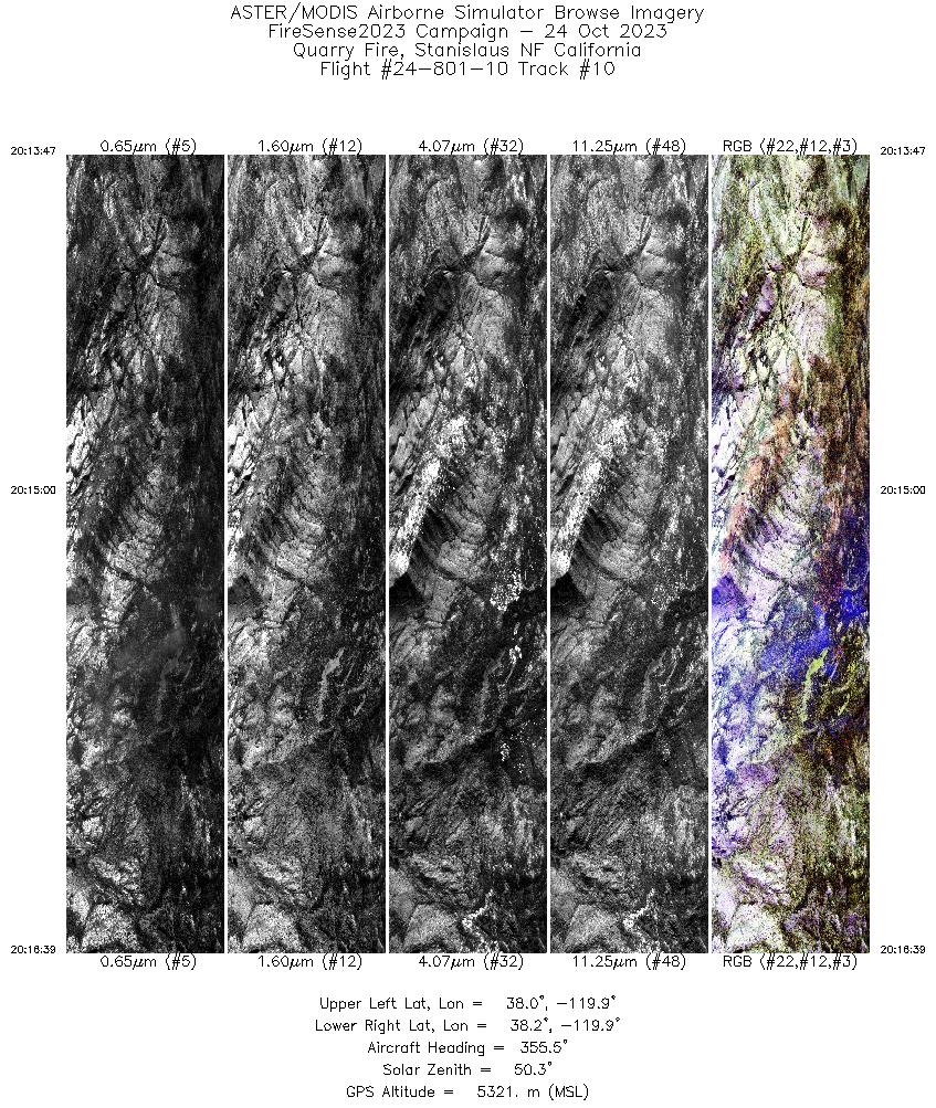
| 10 |
20:13 - 20:16 |
355.1 |
38.031 - 38.165 |
119.900 - 119.899 |
3619 |
5321 |
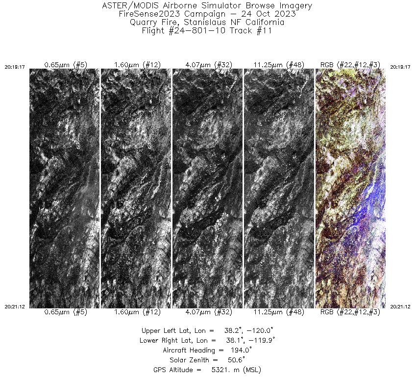
| 11 |
20:19 - 20:21 |
190.9 |
38.166 - 38.065 |
119.923 - 119.923 |
2445 |
5321 |
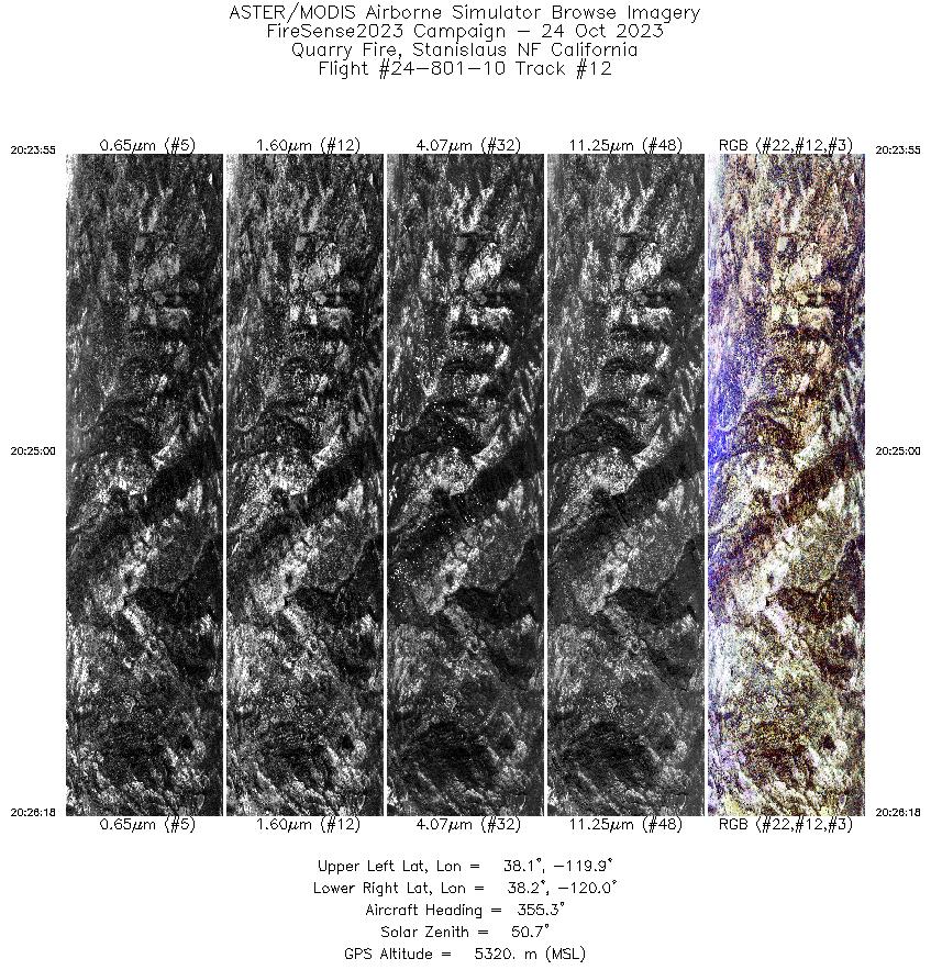
| 12 |
20:23 - 20:26 |
355.2 |
38.052 - 38.166 |
119.945 - 119.945 |
3019 |
5320 |
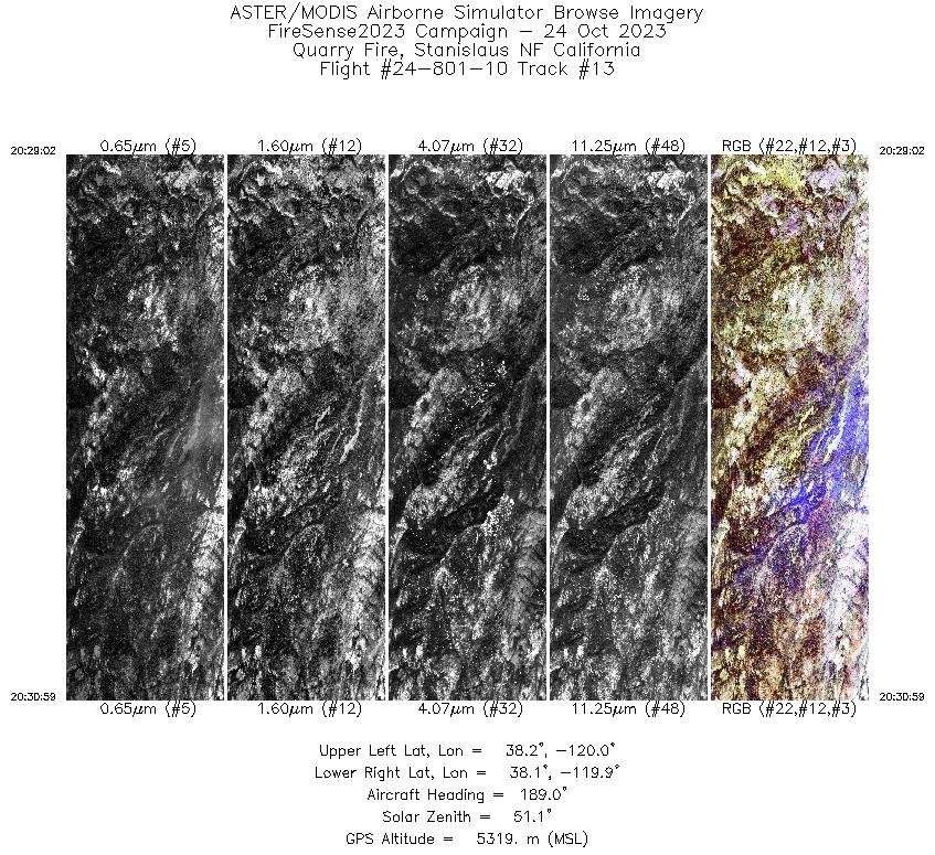
| 13 |
20:29 - 20:30 |
188.3 |
38.169 - 38.067 |
119.923 - 119.923 |
2476 |
5319 |
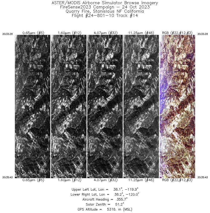
| 14 |
20:33 - 20:35 |
355.2 |
38.055 - 38.165 |
119.945 - 119.945 |
2883 |
5319 |
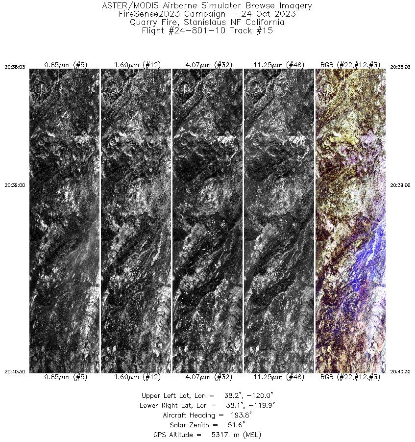
| 15 |
20:38 - 20:40 |
190.6 |
38.194 - 38.065 |
119.922 - 119.923 |
3107 |
5316 |
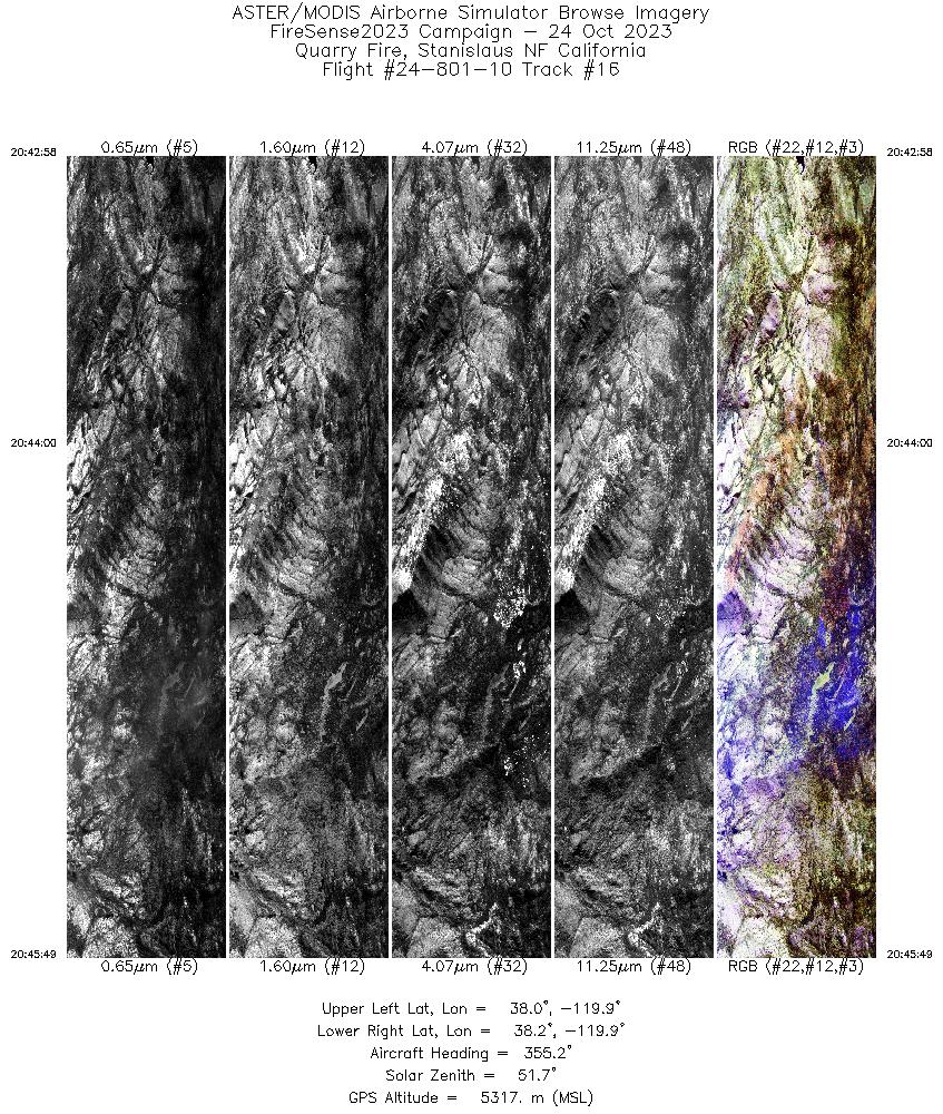
| 16 |
20:42 - 20:45 |
354.8 |
38.028 - 38.164 |
119.900 - 119.899 |
3603 |
5318 |
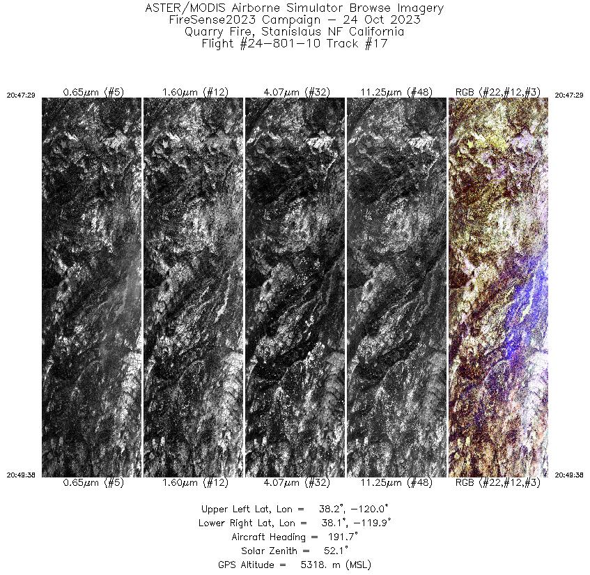
| 17 |
20:47 - 20:49 |
189.9 |
38.178 - 38.065 |
119.923 - 119.923 |
2725 |
5318 |
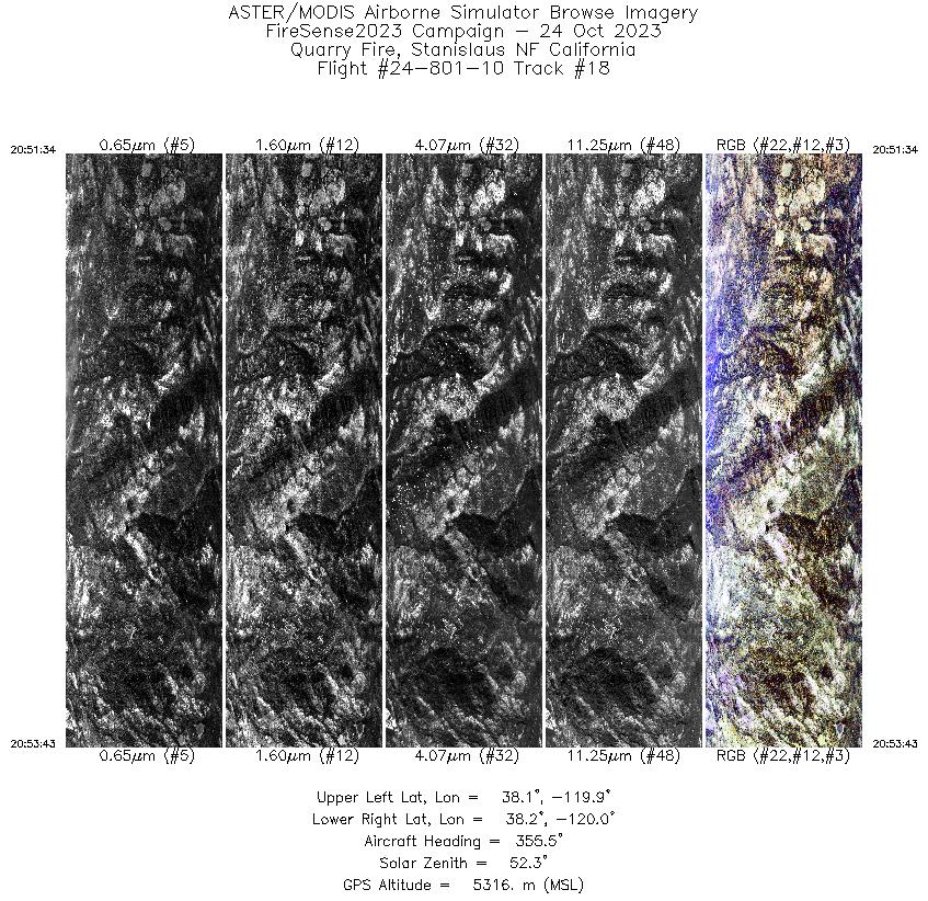
| 18 |
20:51 - 20:53 |
354.7 |
38.065 - 38.167 |
119.943 - 119.945 |
2713 |
5317 |
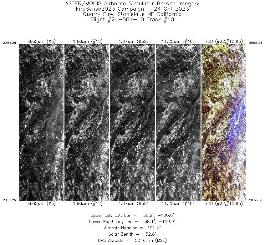
| 19 |
20:56 - 20:58 |
190.0 |
38.167 - 38.063 |
119.923 - 119.923 |
2518 |
5318 |
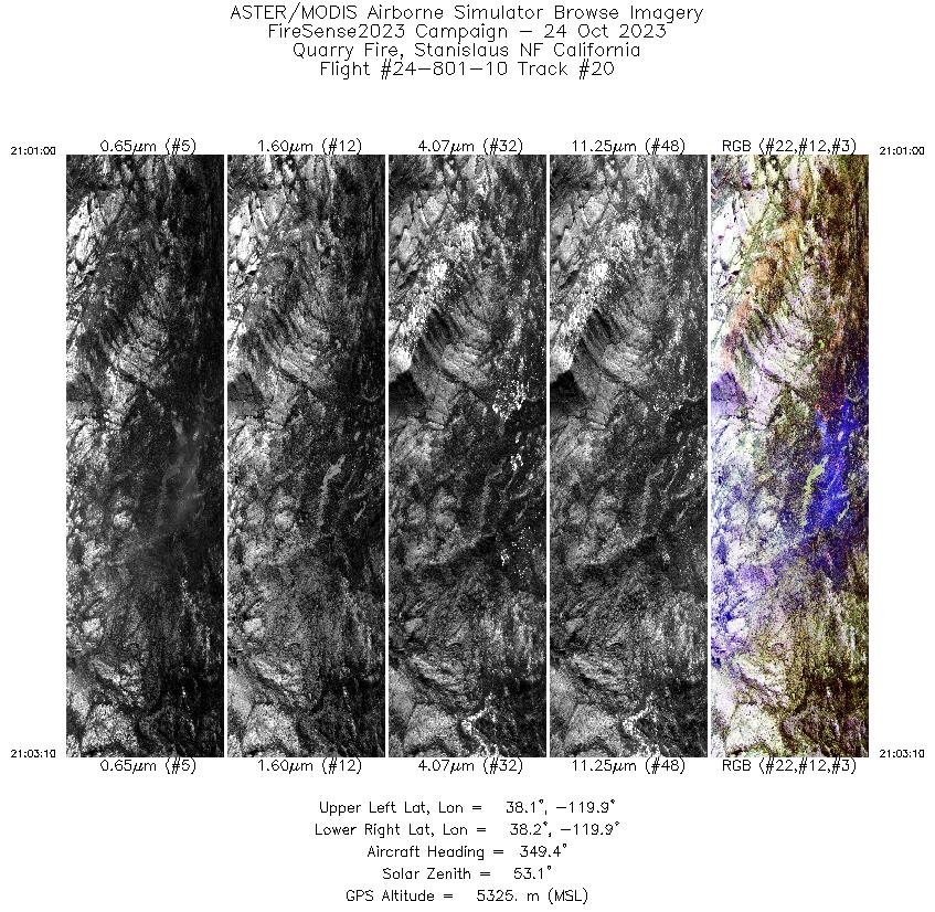
| 20 |
21:01 - 21:03 |
351.2 |
38.063 - 38.166 |
119.895 - 119.899 |
2731 |
5325 |
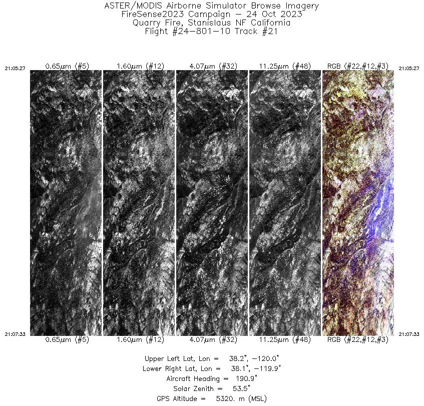
| 21 |
21:05 - 21:07 |
190.2 |
38.174 - 38.063 |
119.924 - 119.923 |
2658 |
5322 |
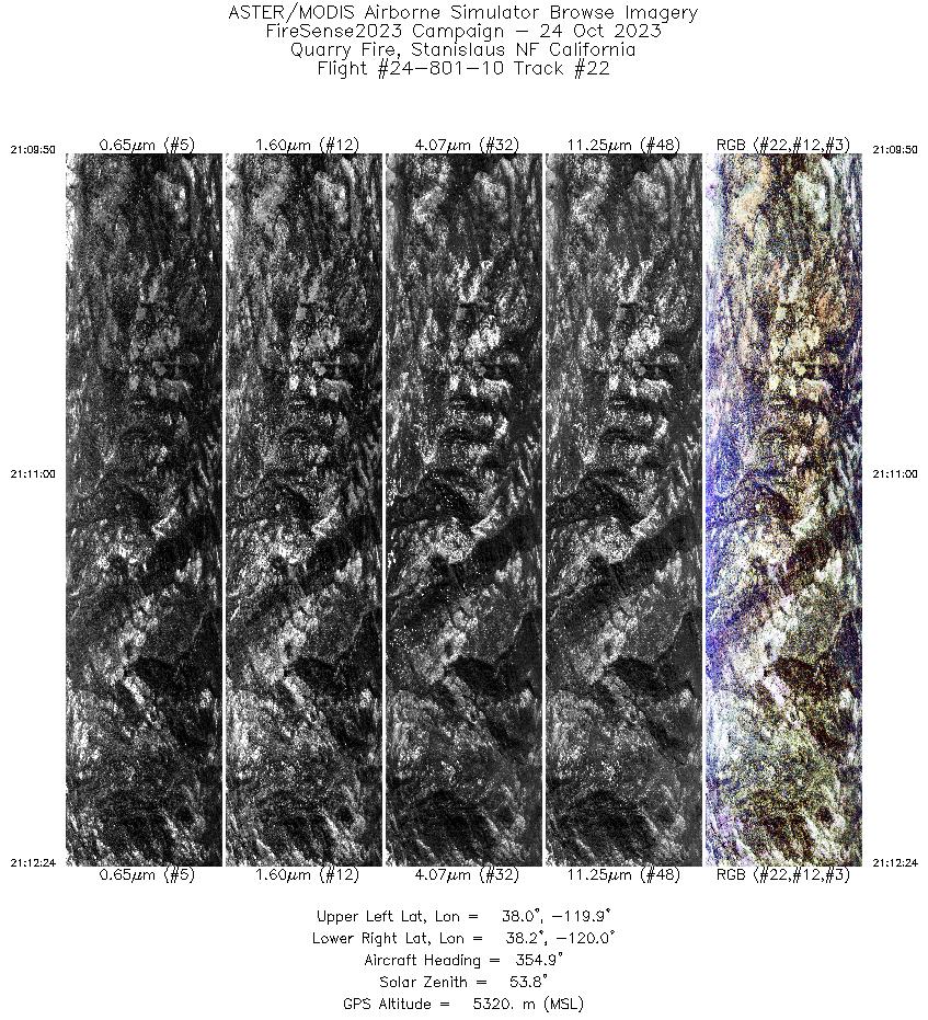
| 22 |
21:09 - 21:12 |
354.0 |
38.040 - 38.162 |
119.945 - 119.945 |
3256 |
5321 |
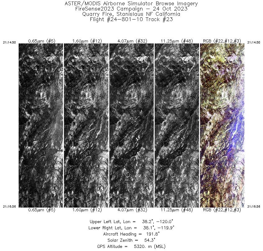
| 23 |
21:14 - 21:16 |
190.9 |
38.175 - 38.065 |
119.922 - 119.923 |
2649 |
5320 |
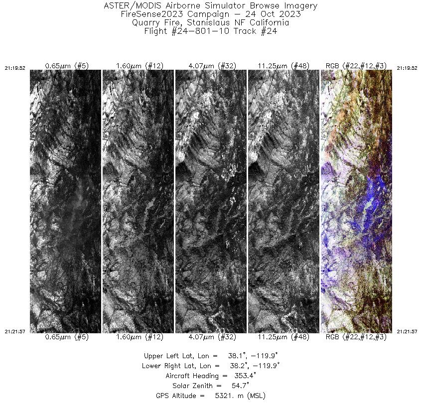
| 24 |
21:19 - 21:21 |
353.2 |
38.066 - 38.165 |
119.899 - 119.899 |
2648 |
5321 |
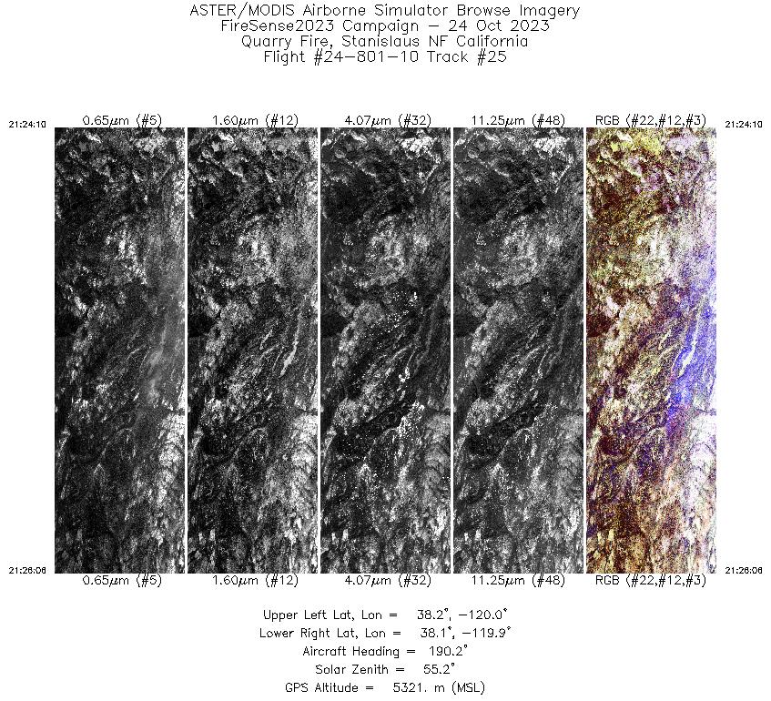
| 25 |
21:24 - 21:26 |
190.1 |
38.168 - 38.066 |
119.923 - 119.923 |
2452 |
5322 |
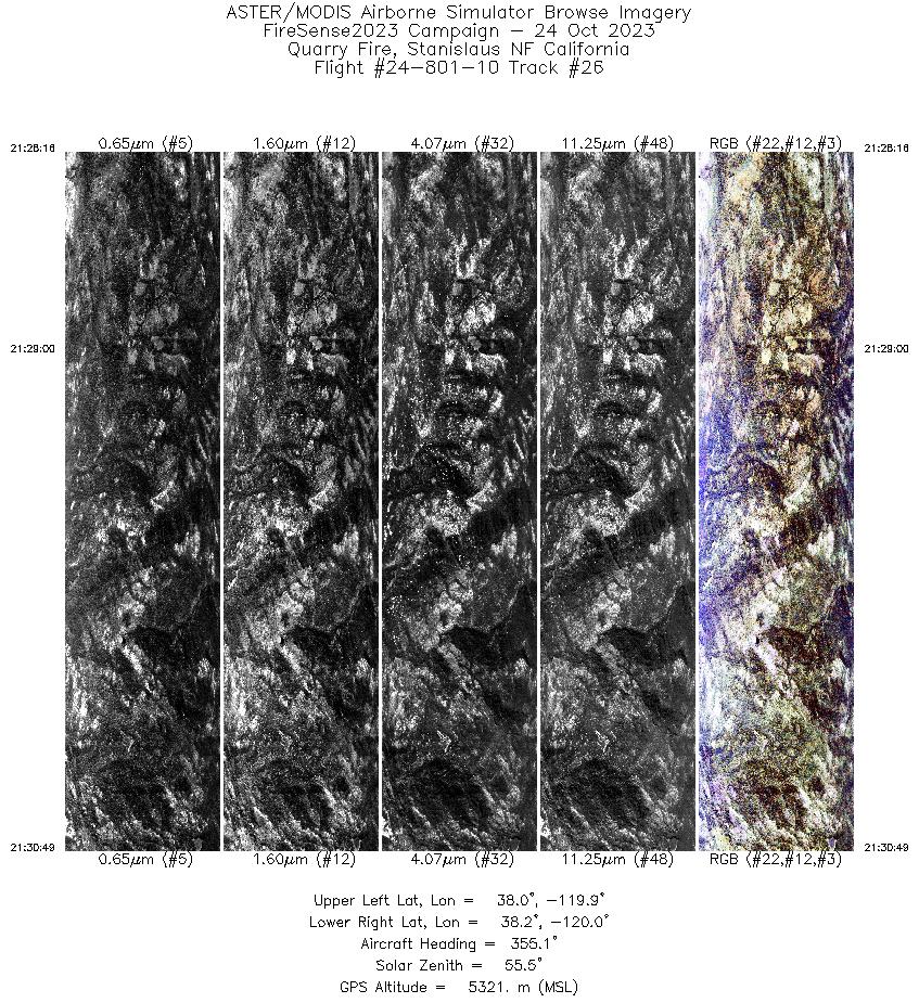
| 26 |
21:28 - 21:30 |
353.7 |
38.044 - 38.165 |
119.944 - 119.945 |
3229 |
5321 |
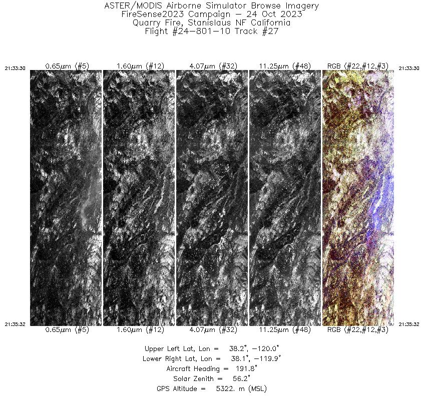
| 27 |
21:33 - 21:35 |
191.1 |
38.168 - 38.068 |
119.922 - 119.923 |
2561 |
5322 |
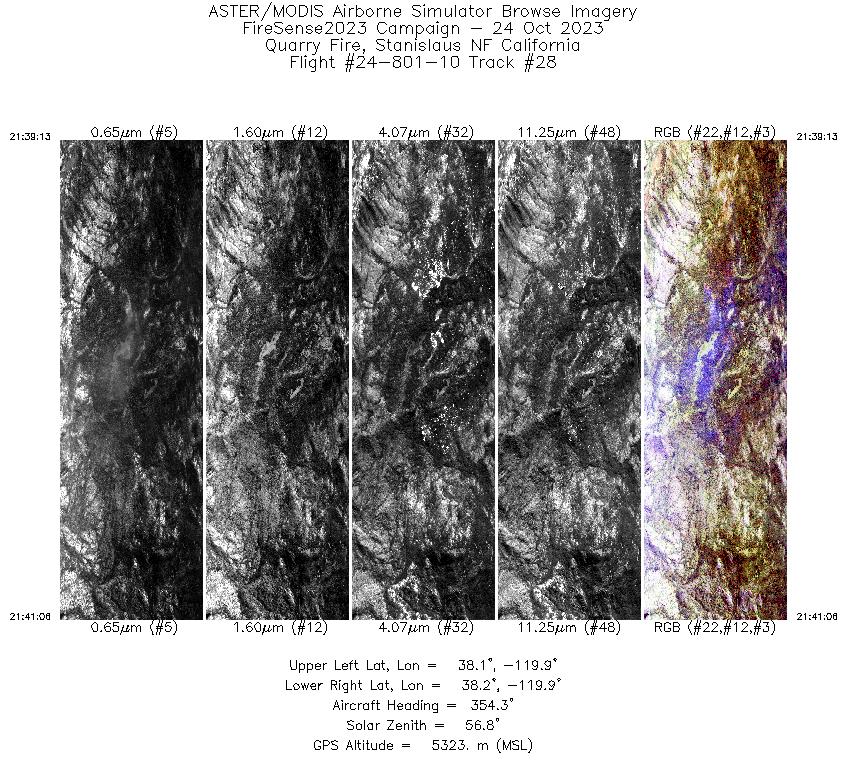
| 28 |
21:39 - 21:41 |
352.8 |
38.078 - 38.163 |
119.912 - 119.911 |
2404 |
5322 |
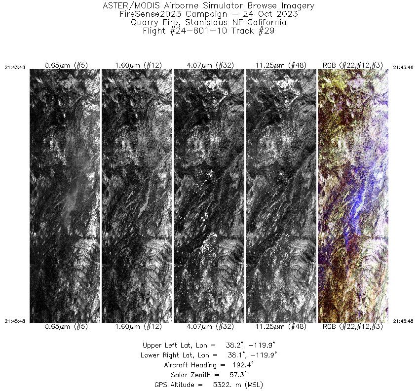
| 29 |
21:43 - 21:45 |
191.8 |
38.169 - 38.069 |
119.912 - 119.912 |
2574 |
5322 |
|


