


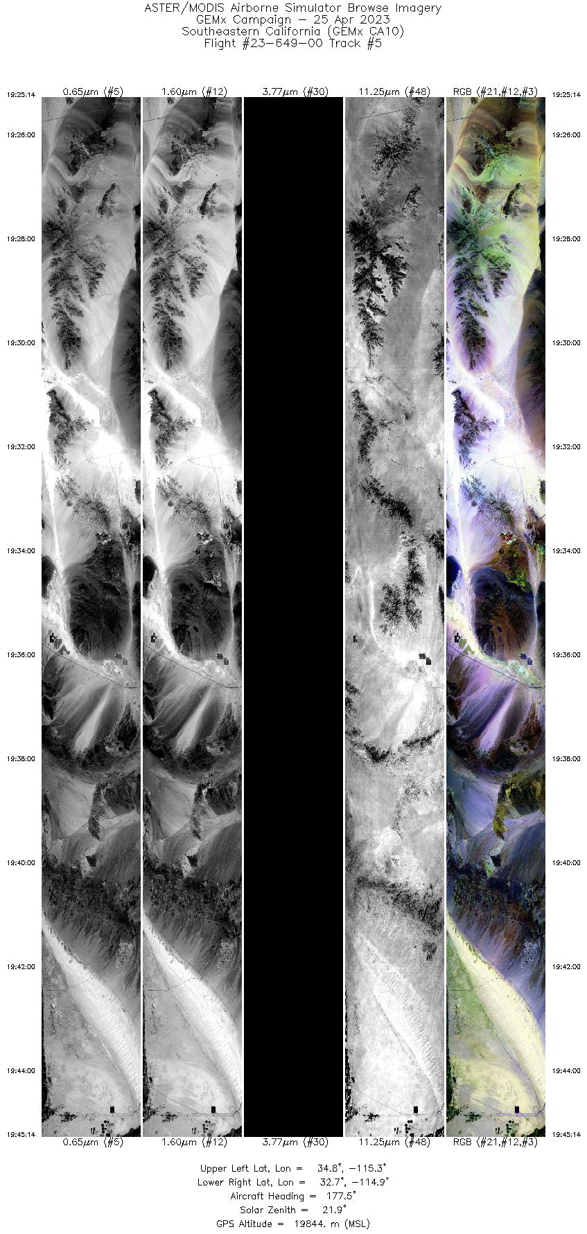
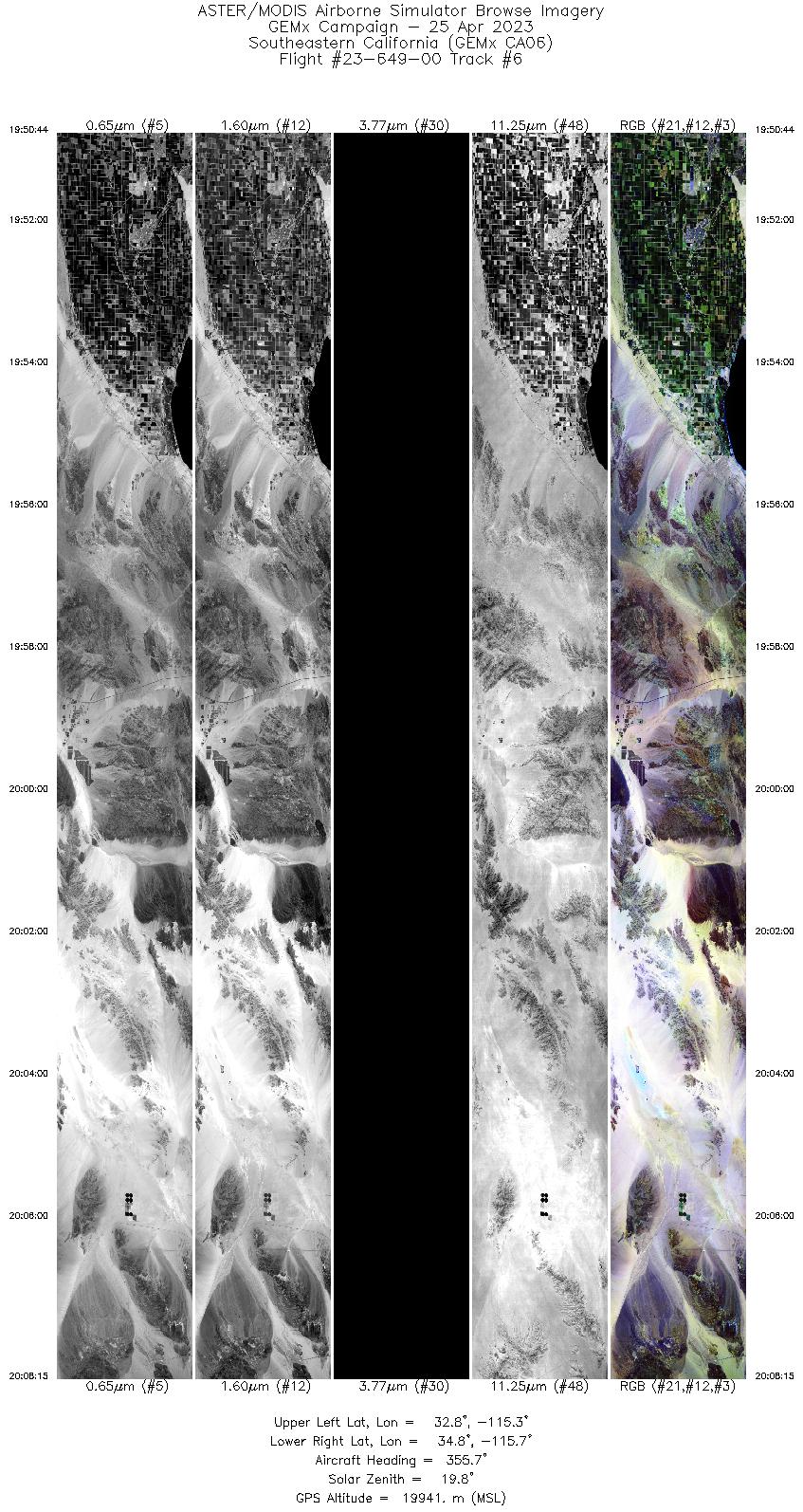
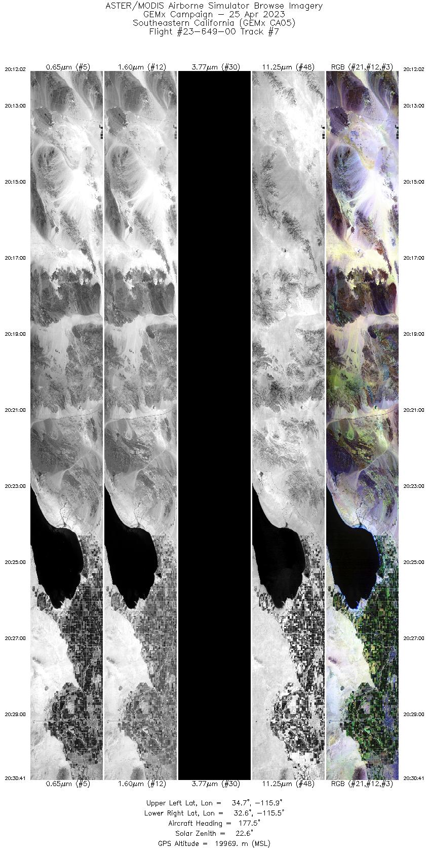
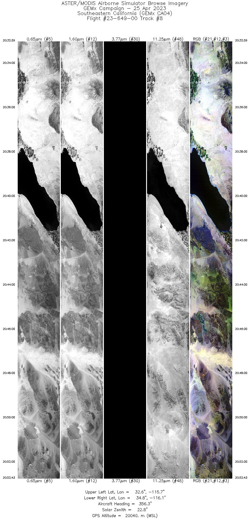
FLIGHT SUMMARY INFORMATION
Flight Track Map


|
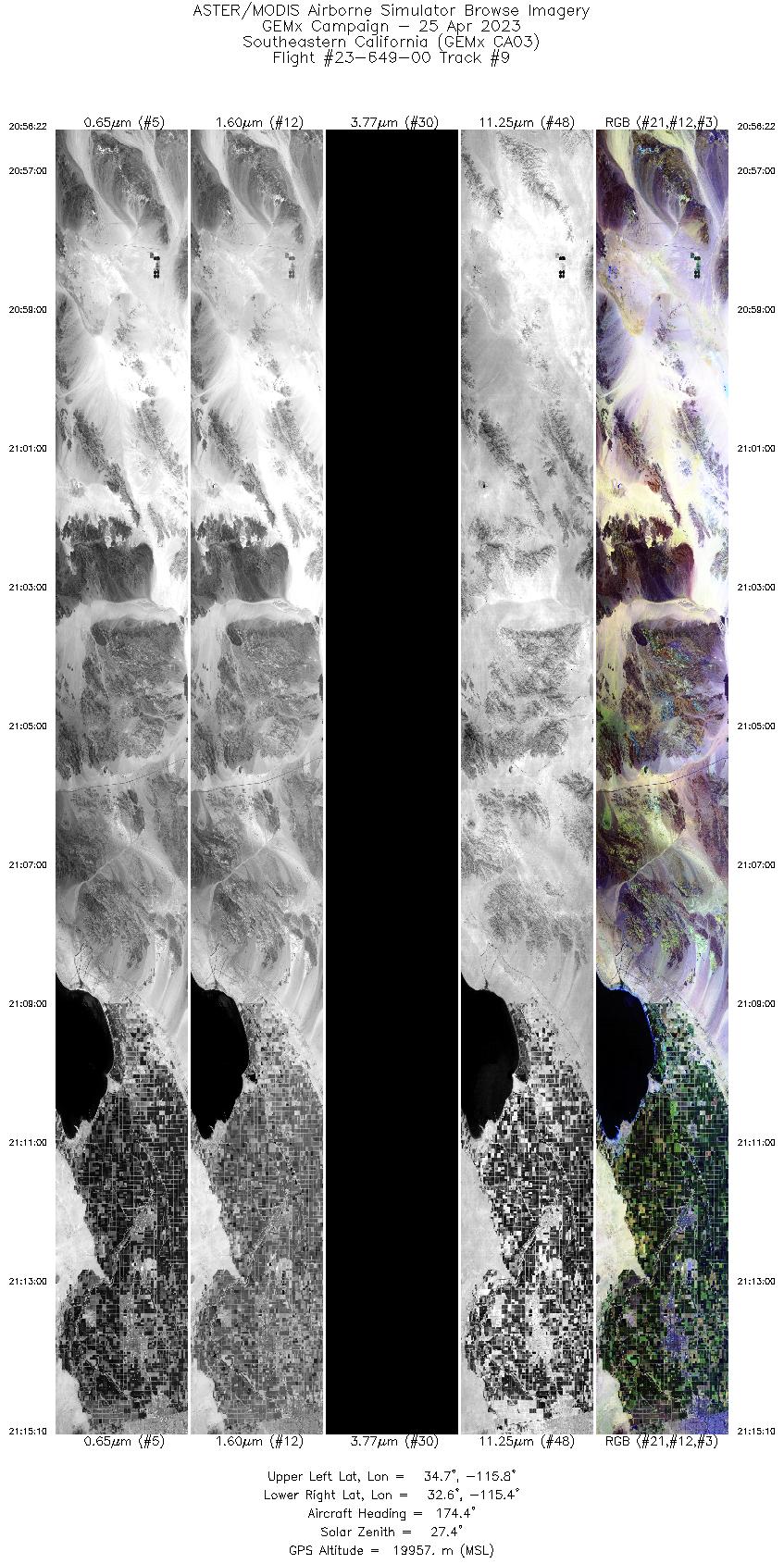
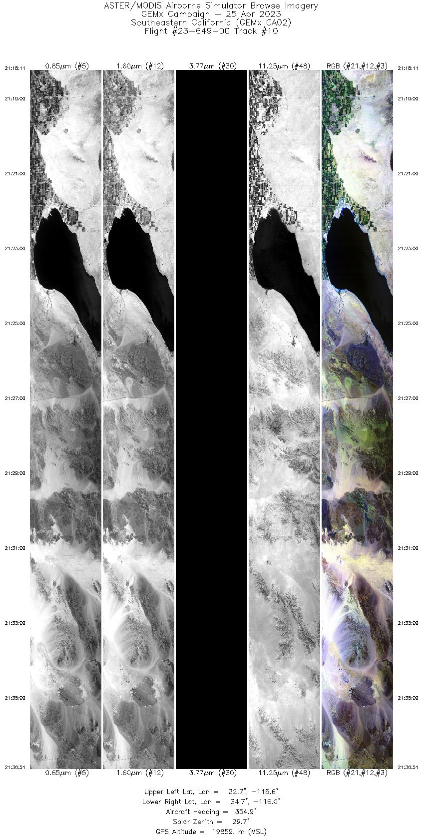
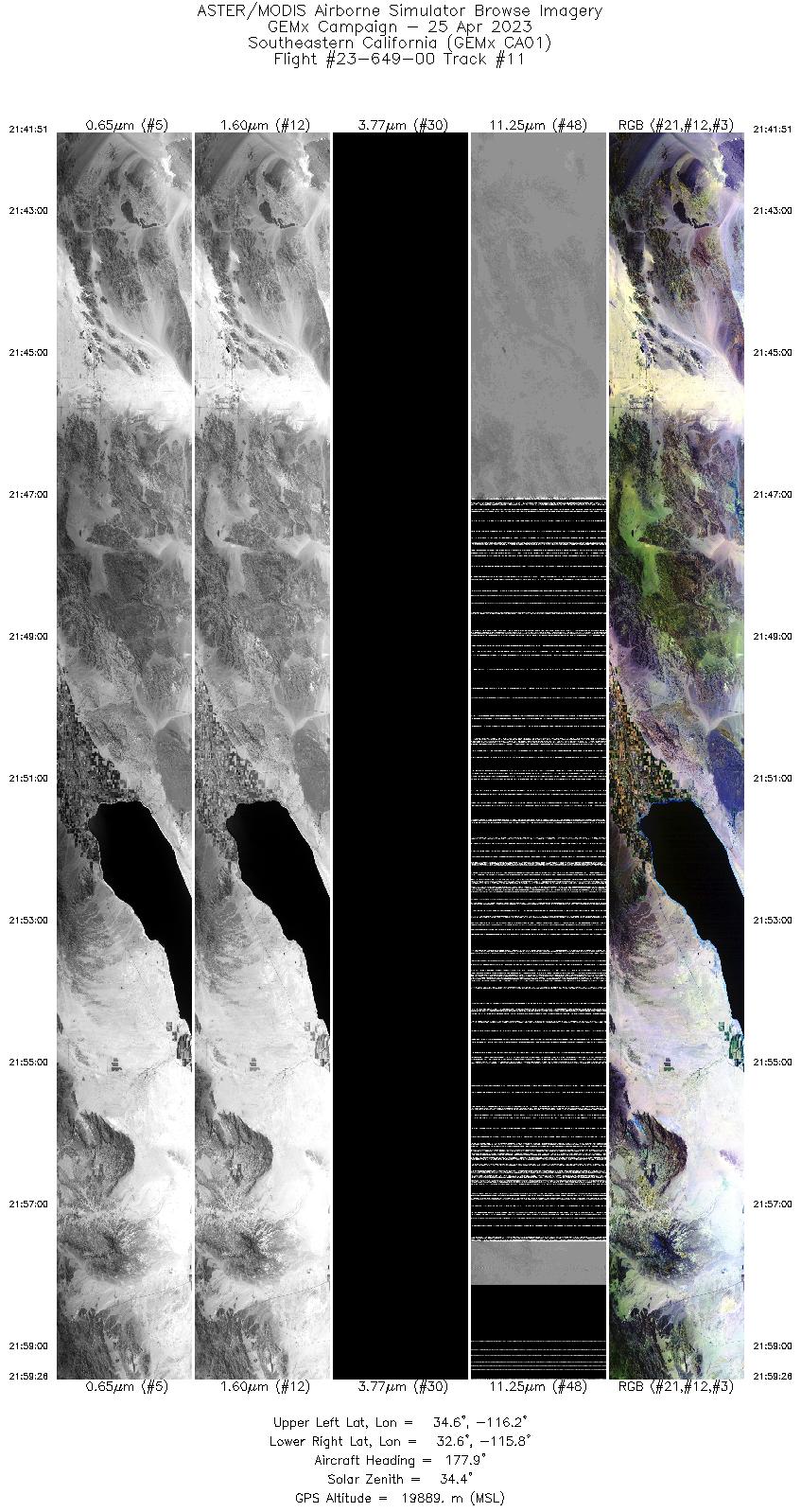
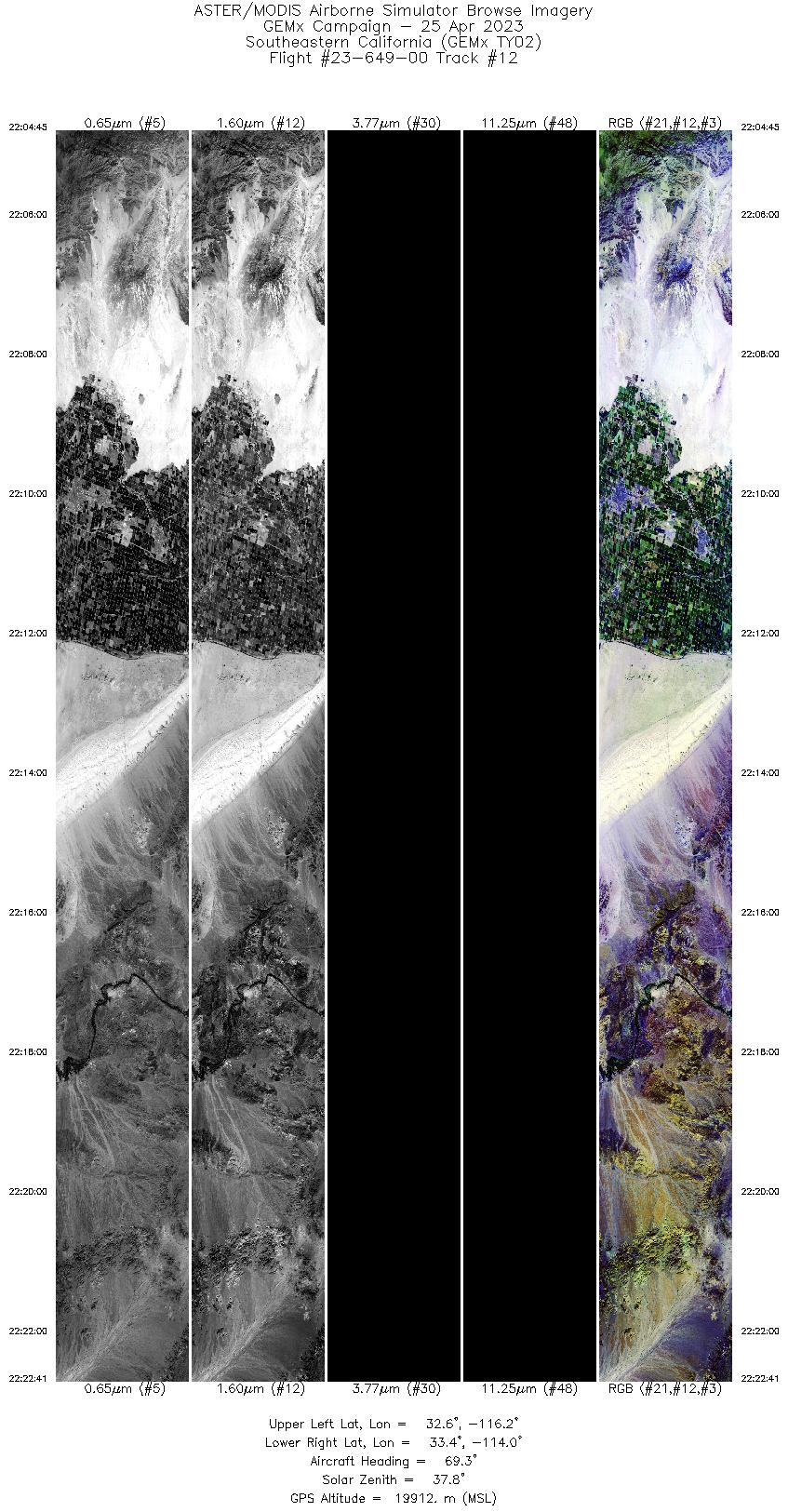
Flight: 23-649-00 Date: 25 Apr 2023 Aircraft: ER-2 #806 Deployment: GEMx Spring 2023 Flight Location: Southeastern California Principal Investigators: Kokaly (USGS) Additional Sensors: AVIRIS / PICARD |
||||||||||||||||||||||||||||||||||||||||||||||||||||||||||||||||||||||||||||||||||||||||||||||||||||||||||||||||
|
Data Evaluation Overall quality is good Port 3 not installed, no MWIR channels Port 4 TIR data affected by LN2 loss @ 21:47Z |
||||||||||||||||||||||||||||||||||||||||||||||||||||||||||||||||||||||||||||||||||||||||||||||||||||||||||||||||
|
Processing Information Level-1B Data in HDF format is available Flight Line Summary Spectral Band Configuration Spectral Response Function Table Spectral Response Function (text) |
||||||||||||||||||||||||||||||||||||||||||||||||||||||||||||||||||||||||||||||||||||||||||||||||||||||||||||||||
|
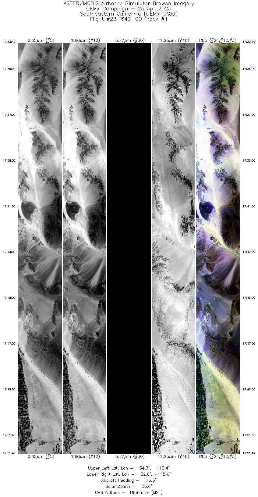
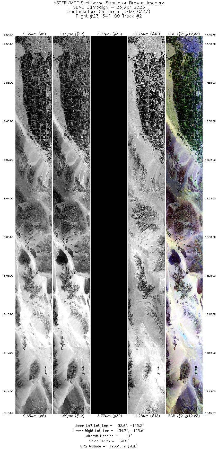
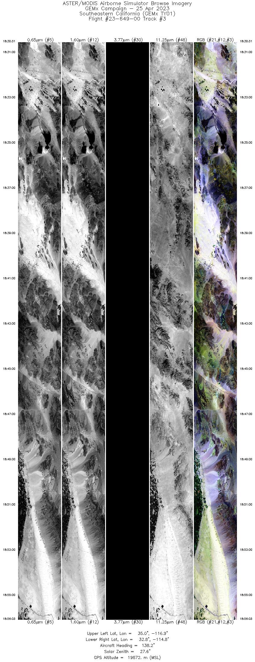
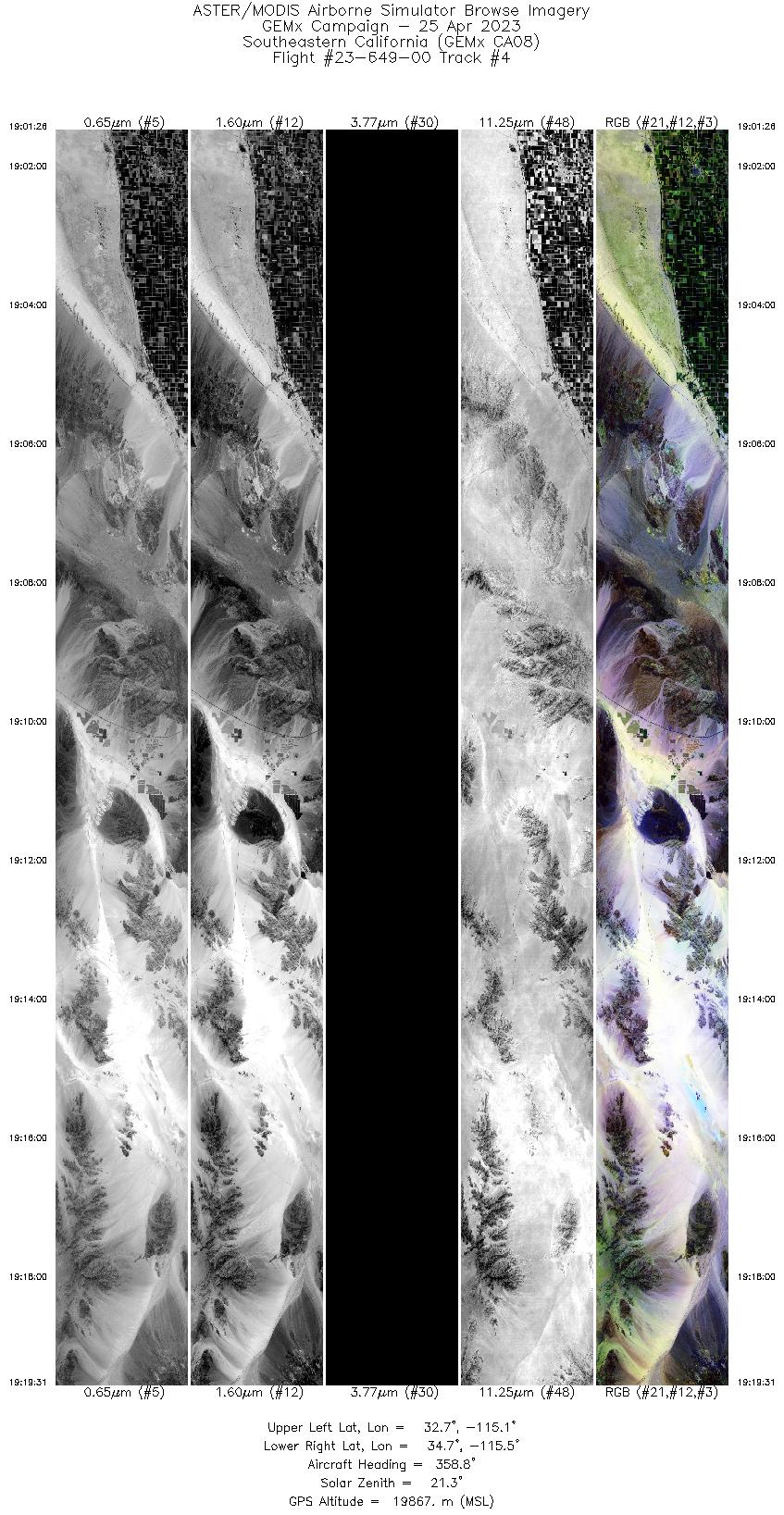
Browse Imagery Flight Tracks: 12 Scanlines: 86289 |
||||||||||||||||||||||||||||||||||||||||||||||||||||||||||||||||||||||||||||||||||||||||||||||||||||||||||||||||
|
||||||||||||||||||||||||||||||||||||||||||||||||||||||||||||||||||||||||||||||||||||||||||||||||||||||||||||||||

Flight 23-649-00


| Sample Imagery |
| Click image for full resolution |
|
Track: #10 Salton Sea, CA |


|
|
R: 2.33µm G: 1.61µm B: 0.47µm |


