


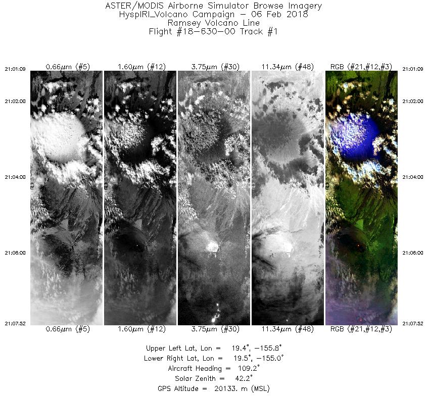
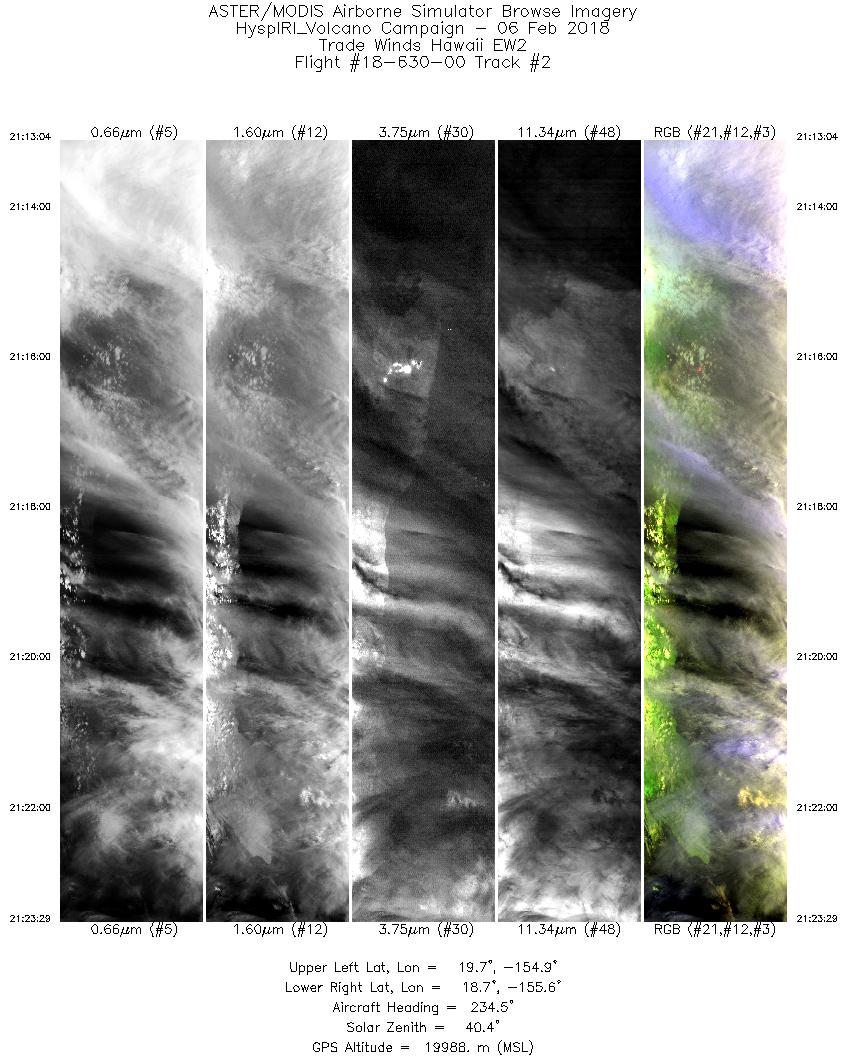
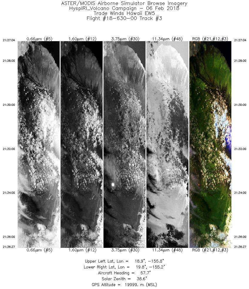
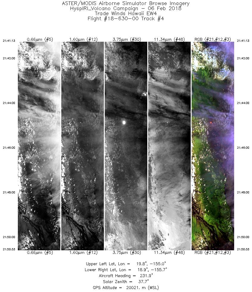
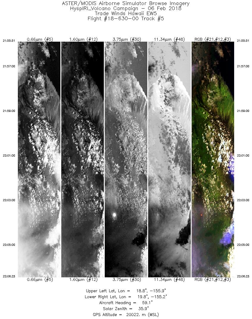
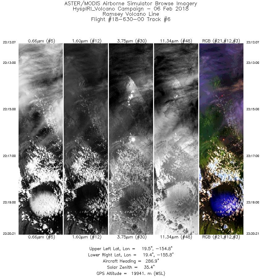
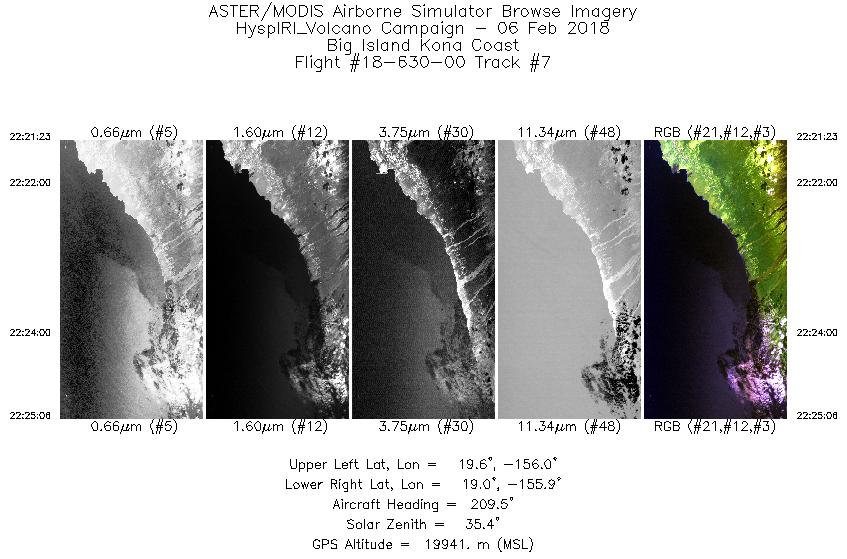
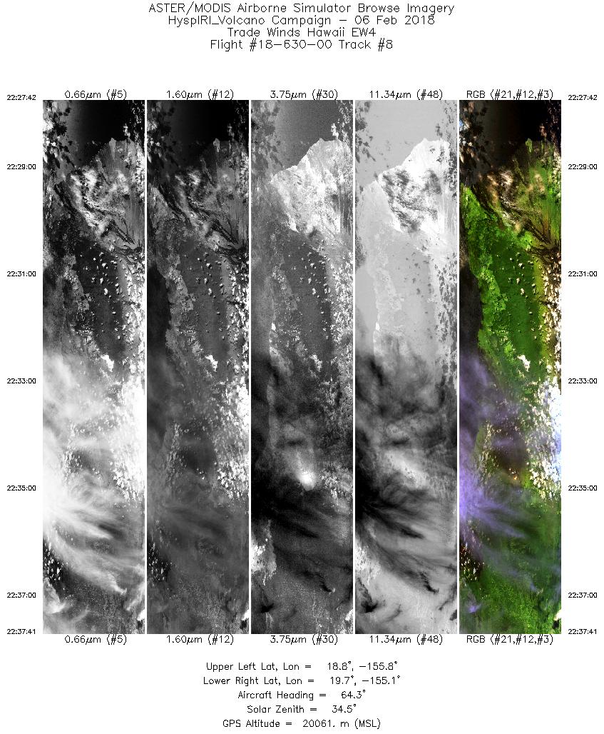
FLIGHT SUMMARY INFORMATION
Flight Track Map


|
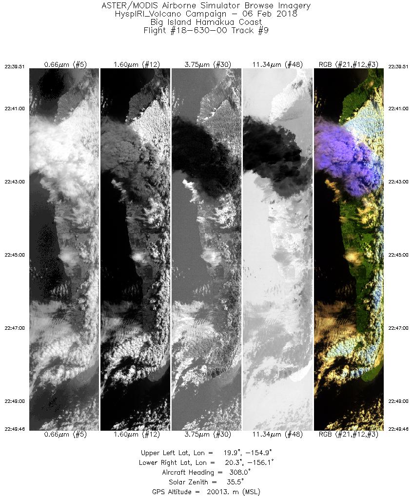
Flight: 18-630-00 Date: February 6, 2018 Aircraft: NASA ER-2, #806 Deployment: HyspIRI HyTES Hawaii (H3C) Flight Location: Big Island Hawaii Principal Investigator: Simon Hook / Rob Green (JPL) Additional Sensors: HyTES / AVIRIS / PRISM |
|||||||||||||||||||||||||||||||||||||||||||||||||||||||||||||||||||||||||||||||||||||||||||
|
Data Evaluation New Digitizer and Blackbody Controller Overall data quality is good |
|||||||||||||||||||||||||||||||||||||||||||||||||||||||||||||||||||||||||||||||||||||||||||
|
Processing Information Level-1B Data in HDF format is available Flight Line Summary Spectral Band Configuration Spectral Response Function Table Spectral Response Function (text) |
|||||||||||||||||||||||||||||||||||||||||||||||||||||||||||||||||||||||||||||||||||||||||||
|
Browse Imagery Flight Tracks: 9 Scanlines: 29361 |
|||||||||||||||||||||||||||||||||||||||||||||||||||||||||||||||||||||||||||||||||||||||||||
|
|||||||||||||||||||||||||||||||||||||||||||||||||||||||||||||||||||||||||||||||||||||||||||


